At a Glance
Trip Length: 14 days
Destinations: Dublin → Dingle Peninsula → Connemara → Donegal → Giant's Causeway → Belfast
Route Type: Multi-county loop (Wild Atlantic Way & Northern Coast)
Distance Covered: ~1,200 miles across 10 counties
Best For: First-timers, history lovers, photography enthusiasts, road-trippers
Trip Style: Self-drive road trip + walkable city overnights + DIY exploring
In 2022, we finally crossed the Atlantic to Ireland, a place I had long imagined exploring. It wasn't the trip we originally planned, but after two years of delays and uncertainty, it became exactly the journey we needed.
Back in January 2020, the year had started with big intentions. I wanted to travel more, and by February we had booked my first international adventure: a Rick Steves tour through Turkey to celebrate my 50th birthday. But when the world abruptly shut down in March, those plans disappeared overnight. Like so many others, I watched milestone moments fade into the background as travel became a distant idea.
Two years later, in May 2022, we finally made it across the pond. It wasn't to Turkey, but to Ireland. Over 14 days and nearly 1,200 miles, we journeyed from Dublin's Trinity College to Northern Ireland's Giant's Causeway, discovering that sometimes the trip you end up taking is the one you were meant to have all along.
This 14-day self-drive itinerary is perfect for first-time visitors, blending historic cities, dramatic coastal scenery, and charming small towns. Along the way, we explored Dublin, the Dingle Peninsula, Connemara, Donegal, the Giant's Causeway, and Belfast, with overnight stops chosen for their walkability, character, and atmosphere.
Touchdown, taxi and where our Ireland's story begins
Dublin is the perfect introduction to Ireland, a blend of centuries-old history, vibrant pub culture, and friendly locals. After touching down at Dublin Airport, we headed to our hotel in the city center to drop off bags and dive straight into exploration.
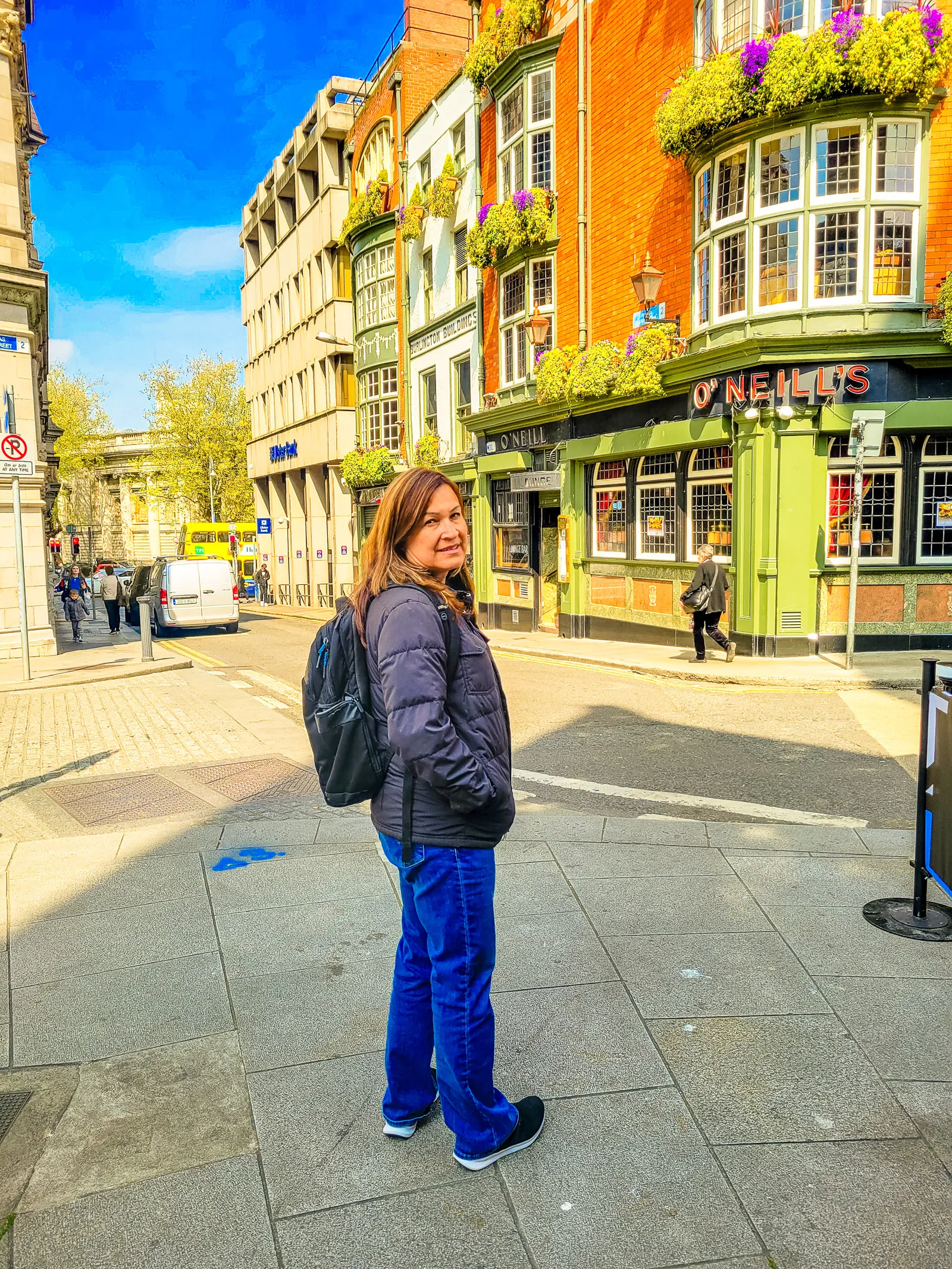
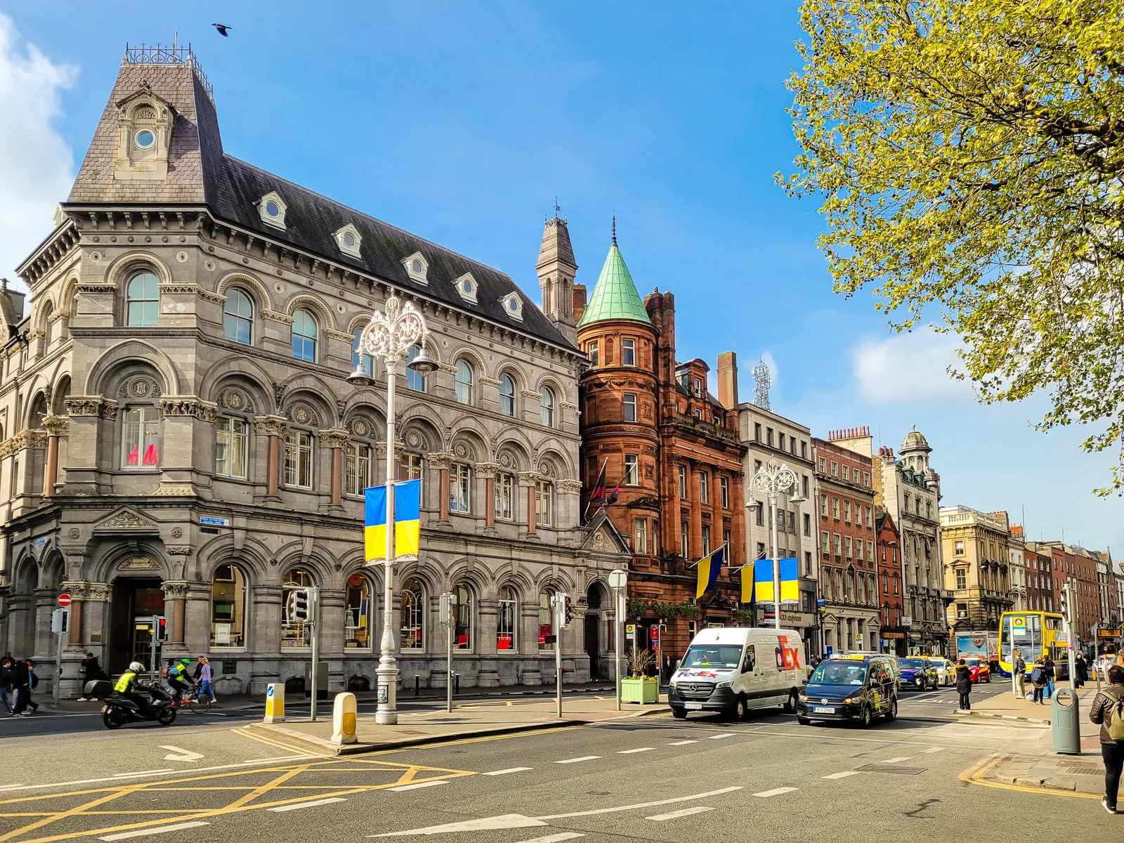
We checked into the Dublin Citi Hotel on Dame Street, a central and walkable location that made exploring Dublin a breeze, no transportation needed. After dropping our bags, we took a moment to soak in the city's energy: buses rumbling past, music drifting from nearby pubs, and the unmistakable buzz of Temple Bar just around the corner.
We headed into the Temple Bar cultural quarter, navigating the uneven cobblestones as we passed shops, pubs, and tempting restaurants at every turn. Our jet-lagged stomachs were demanding attention, so we made our way to Leo Burdock Fish & Chips on Werburgh Street, a Dublin institution since 1913.
The smell hit us before we even walked in, that perfect combination of fried fish and vinegar that signals you're in the right place. We ordered the classic: cod and chips, wrapped in paper the traditional way. The fish was flaky and fresh, the batter perfectly crispy, and the chips (thick-cut, as they should be) were exactly what we needed after a long travel day.
After our meal and walking outside on to the street, we officially felt like we'd arrived in Ireland.
Our taxi driver from the airport became our first Irish tour guide, enthusiastically pointing out his favorite places to eat, which pubs to skip, and the one spot we absolutely had to visit: The Long Hall, a Victorian pub on South Great George's Street that's been serving pints since 1766.
The Long Hall is Dublin pub perfection, ornate carved woodwork, red velvet seating, vintage mirrors, and a mahogany bar that gleams under warm lighting. It's the kind of place that attracts everyone from locals to celebrities (Bruce Springsteen is a known regular), but more importantly, it feels genuinely Irish, not a tourist trap designed to look the part.
We claimed two seats at the bar that evening and ordered our first proper pints of Guinness. The bartender poured them with the traditional two-part pour, letting each pint settle before topping it off with that perfect creamy head. By the second pint, jet lag was winning the battle, so we headed back to the hotel, ready for an early night before our Trinity College tour the next morning.
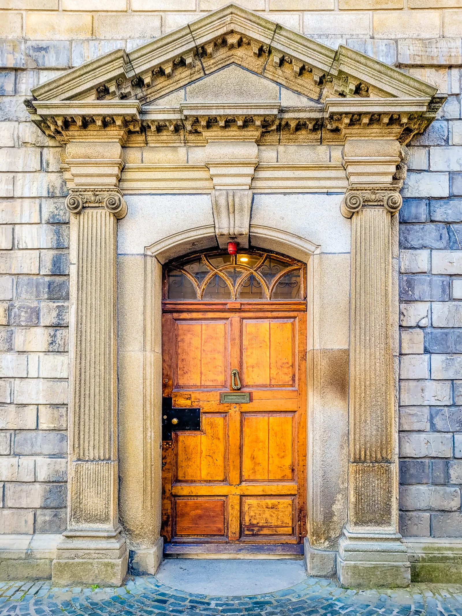
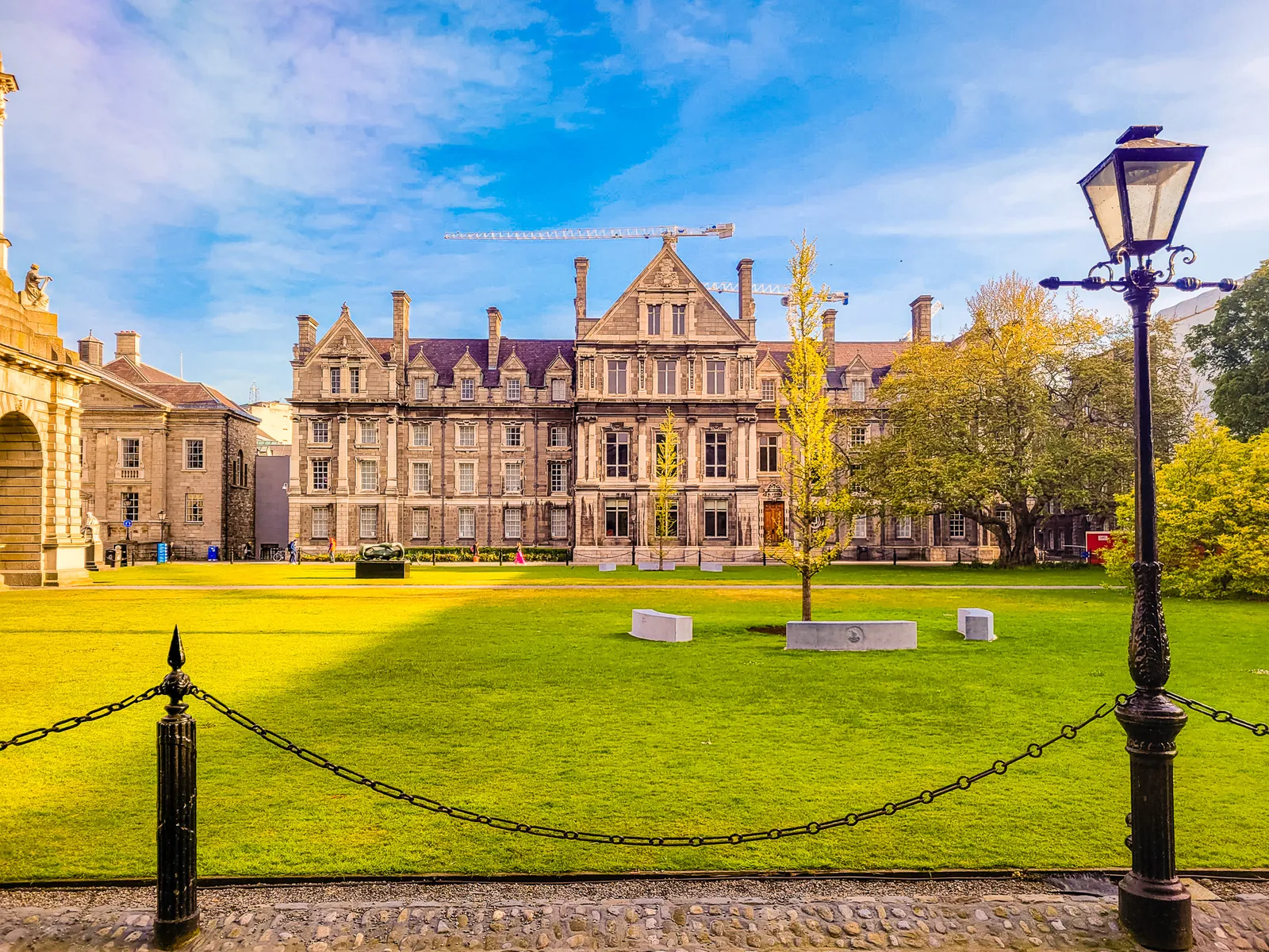
No visit to Dublin is complete without stepping inside Trinity College to see the Book of Kells and the breathtaking Long Room Library.
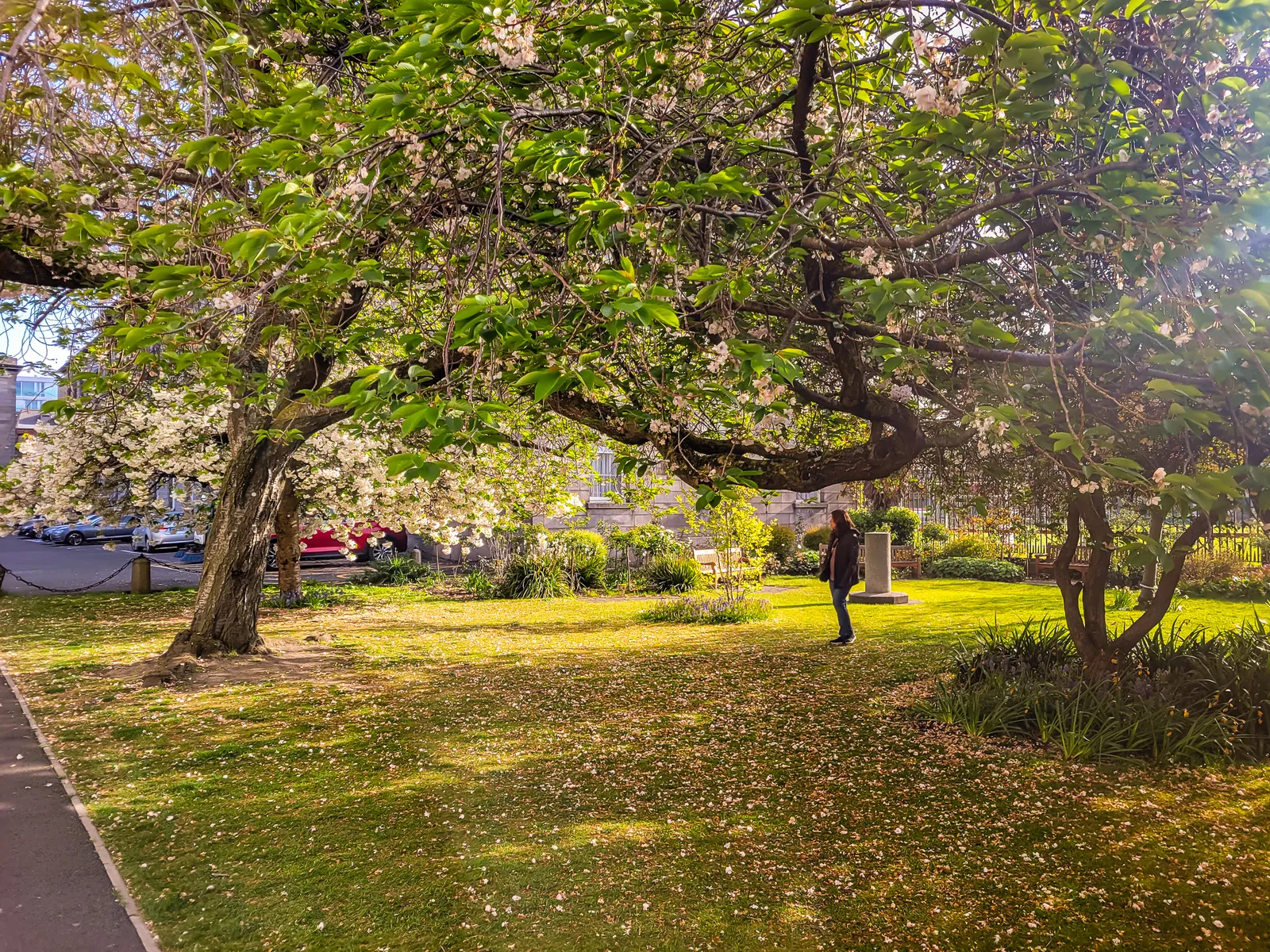
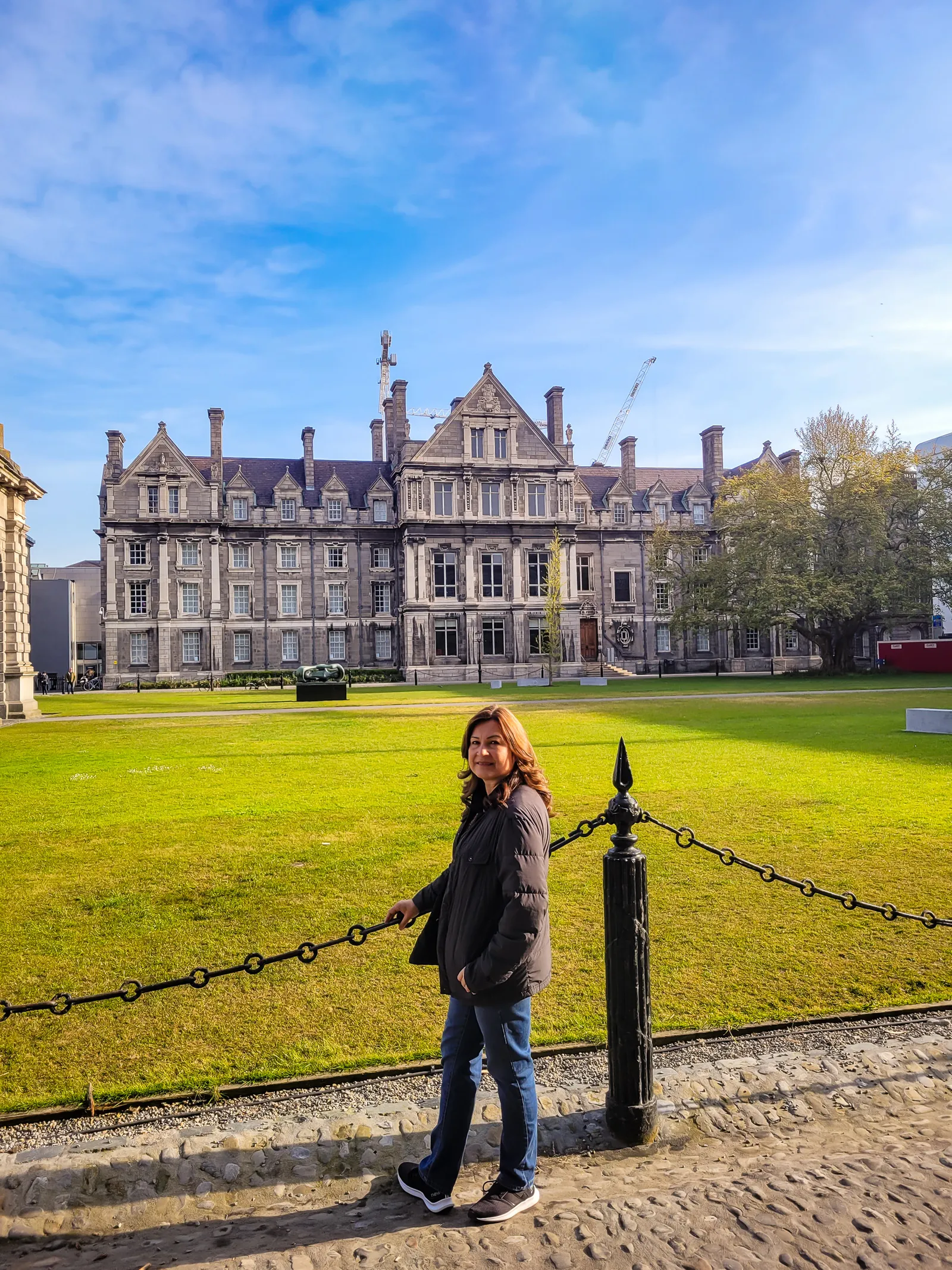
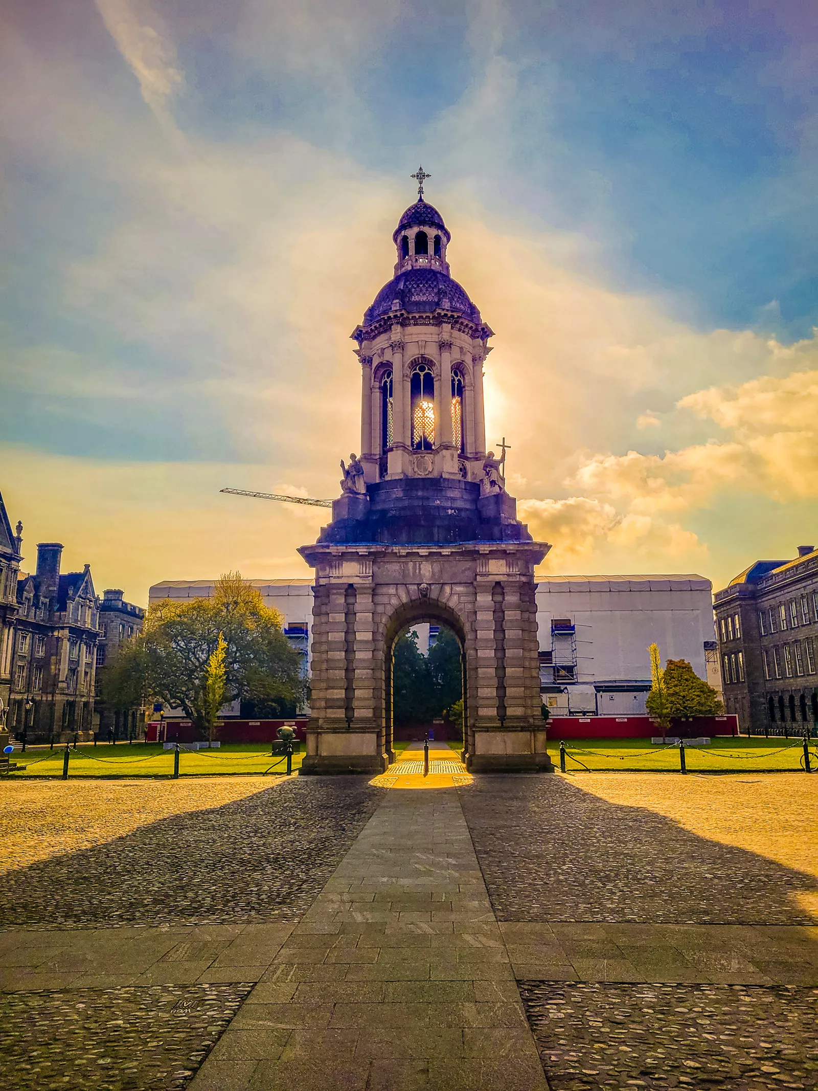
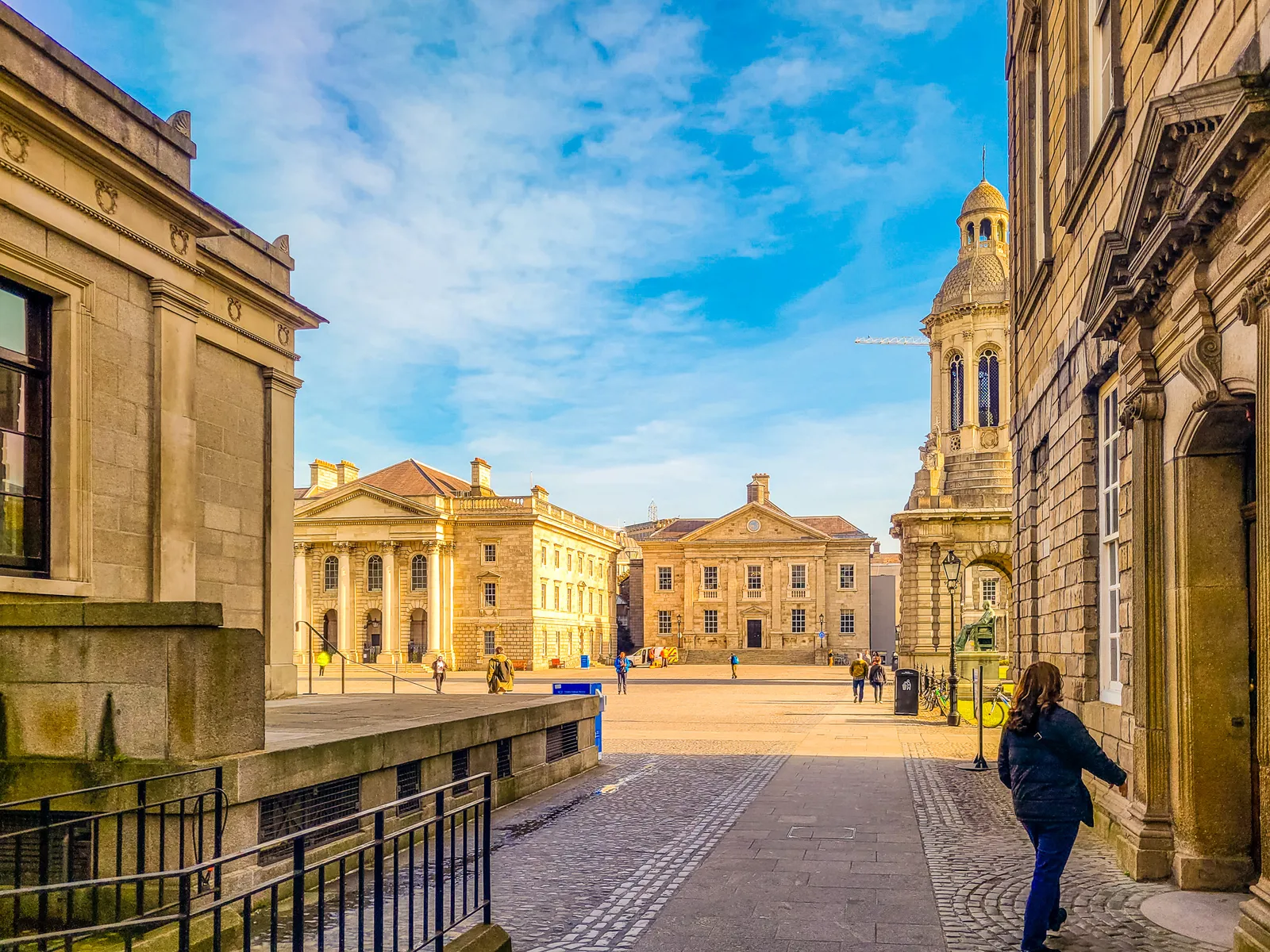
We arrived early in the morning, and after walking through the stone arch at Trinity College's entrance, the impressive 100-foot granite bell tower known as the Campanile came into view, calm, perfectly framed, and rising at the center like the campus's own lighthouse.
An interesting superstition among students is that walking beneath the Campanile while the bells are chiming guarantees exam failure. We lingered for a moment to admire the tower, then continued toward the Old Library entrance.
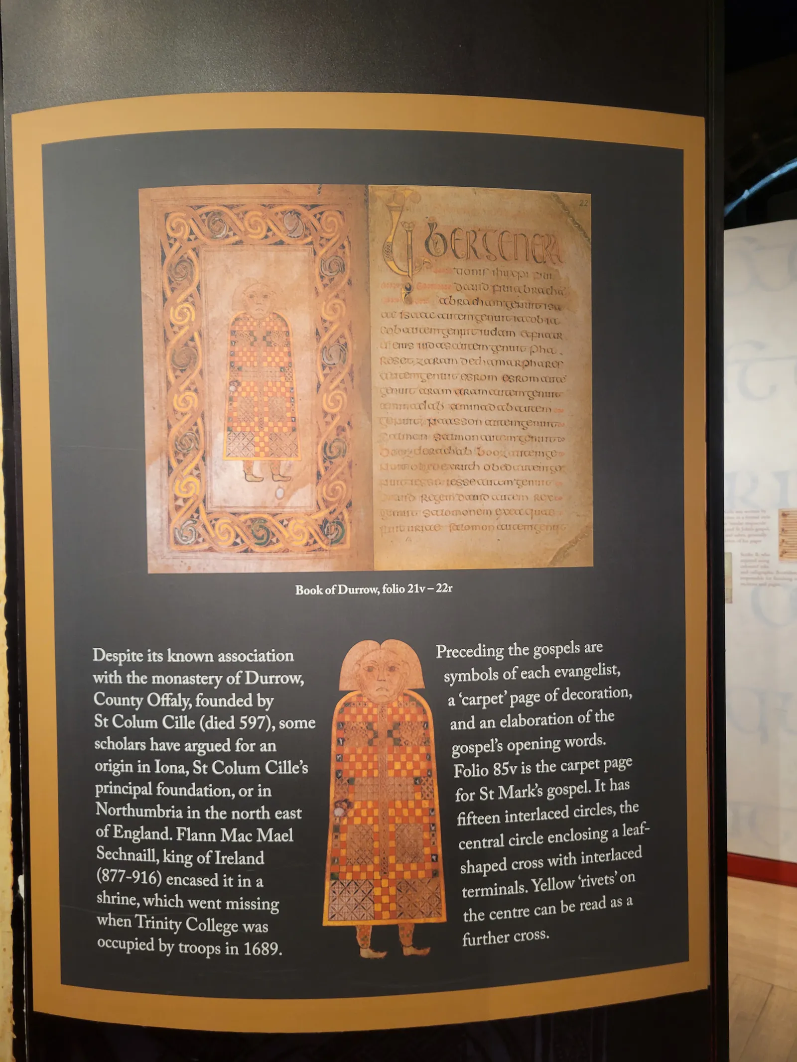
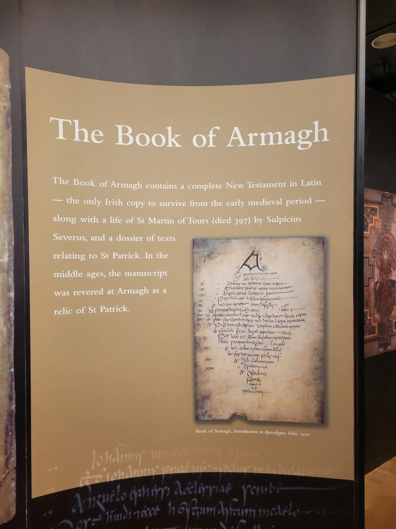
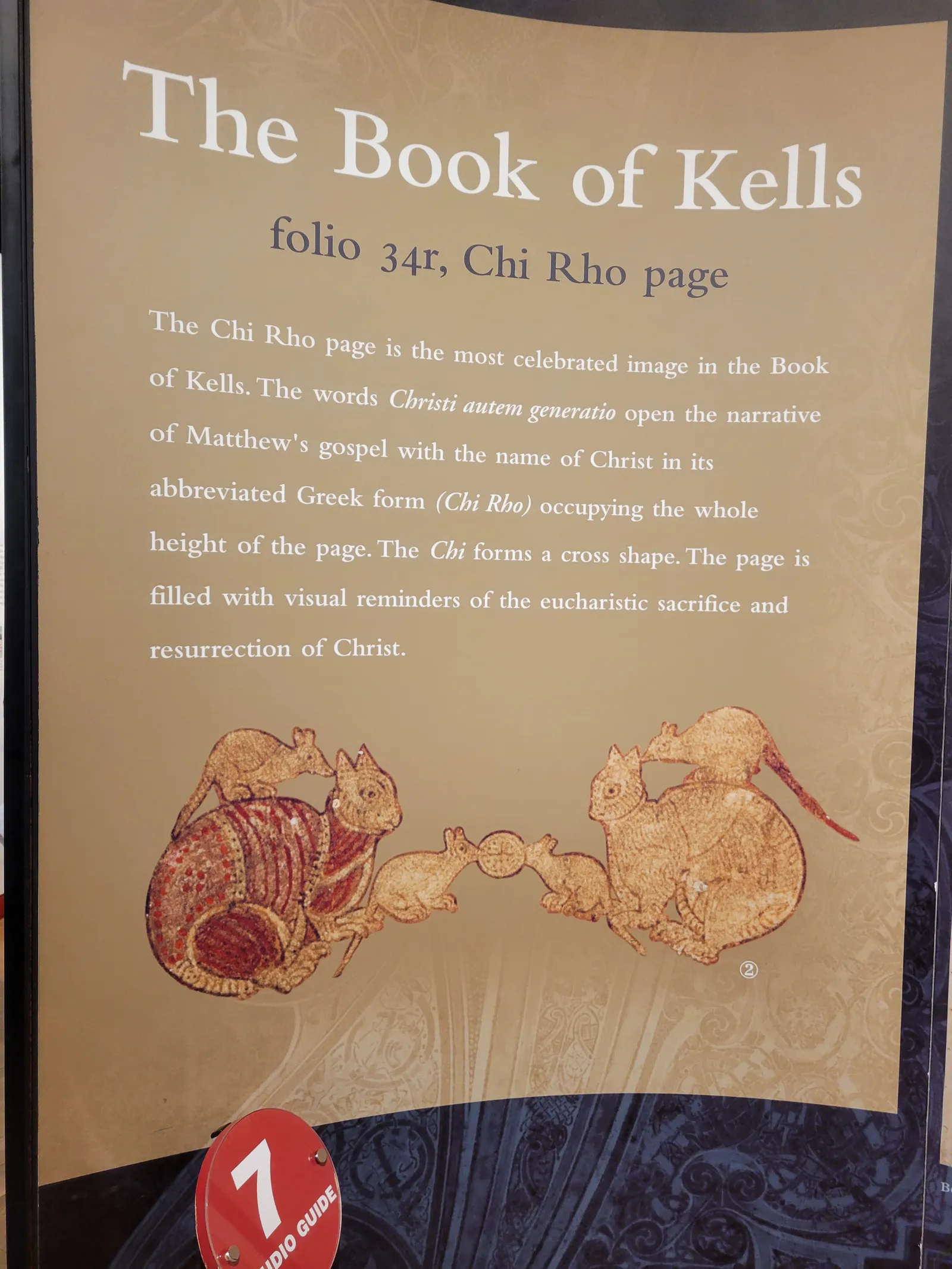
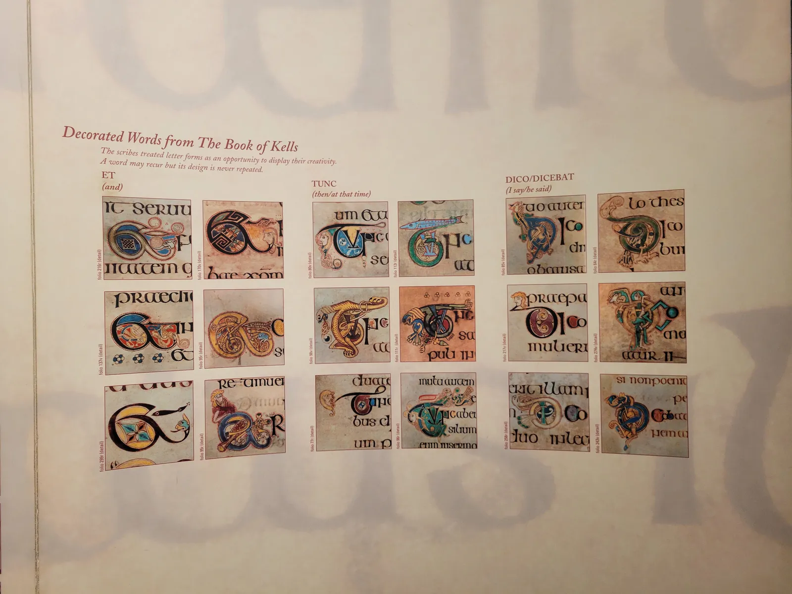
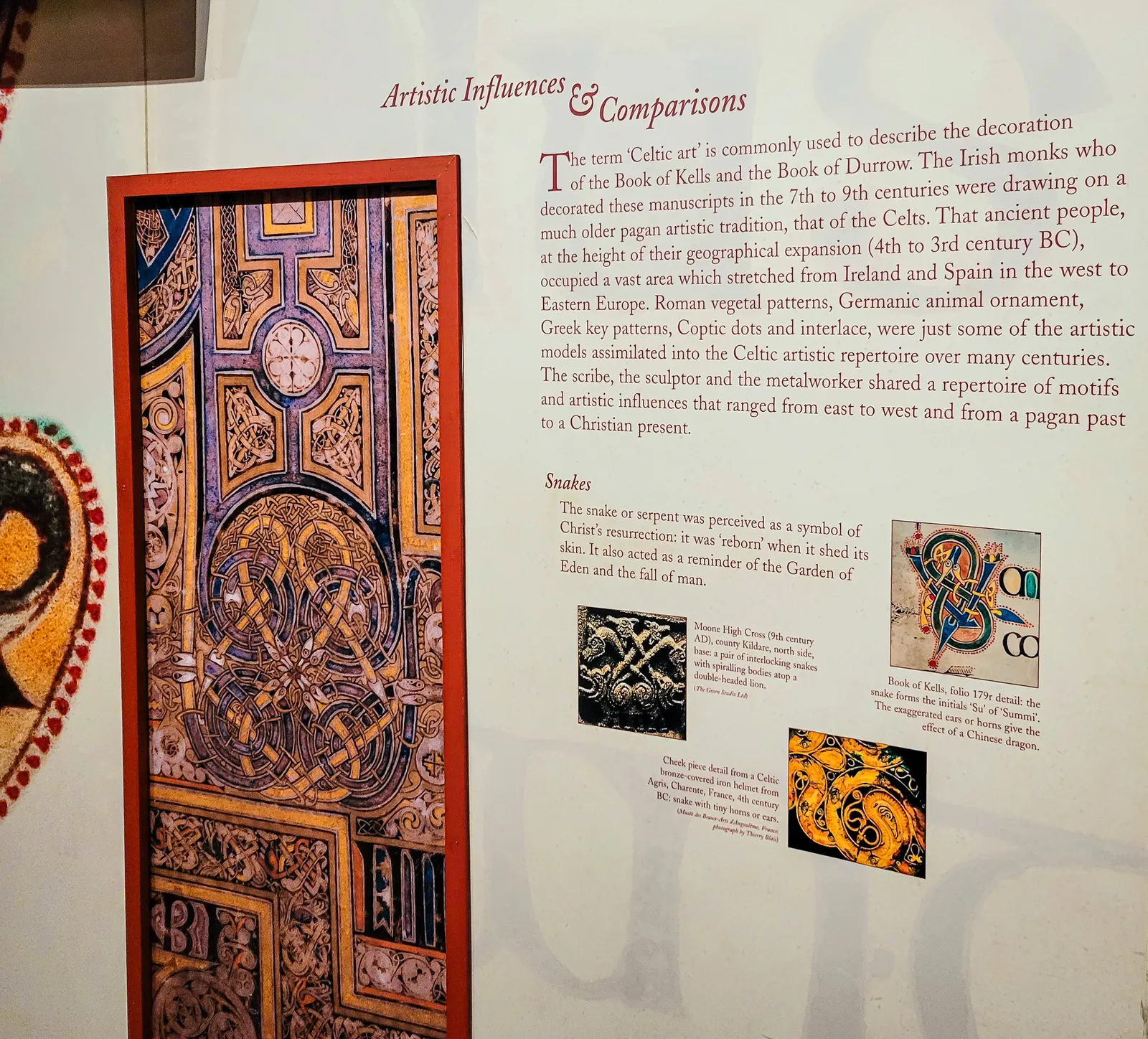
The Book of Kells is an illuminated manuscript created by Celtic monks around 800 AD, and seeing it in person is like standing in front of a medieval masterpiece that somehow survived 1,200 years of wars, weather, and human carelessness.
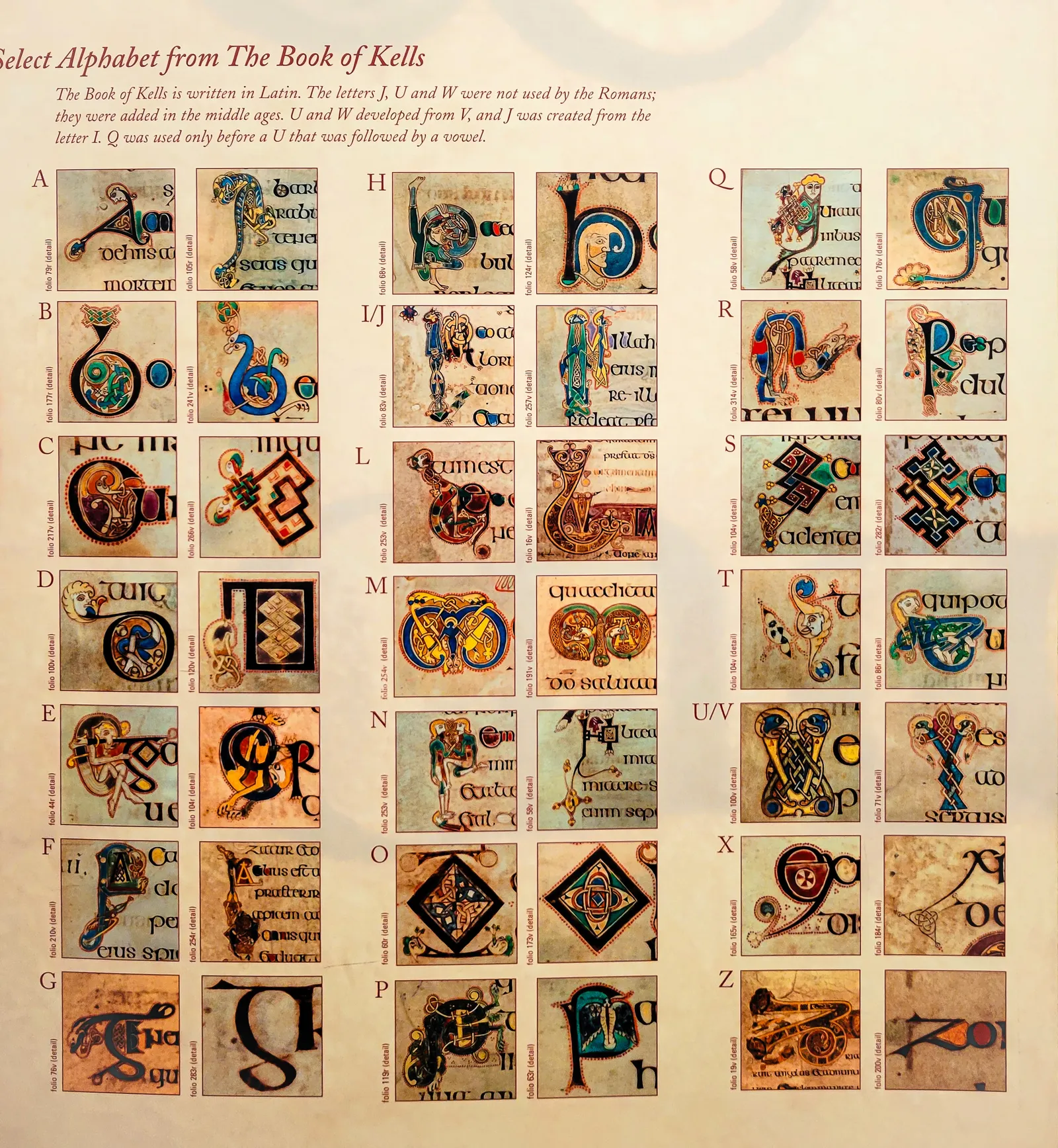
The exhibit begins downstairs with displays explaining the painstaking process: how monks ground minerals and plants into vibrant pigments, prepared animal vellum page by page, and created the intricate Celtic knotwork that would take modern artists months to replicate. Knowing the backstory makes the actual manuscript even more impressive.
The viewing room itself is small and gets crowded quickly, with visitors pressed shoulder-to-shoulder around the glass cases. Only two pages are displayed at a time, rotated regularly to prevent light damage. Even in the crowd, it's worth taking your time, the detail is astonishing.
Spirals smaller than a fingernail, colors still vivid after twelve centuries, and illuminated letters that look like they were painted yesterday, not in the 9th century.
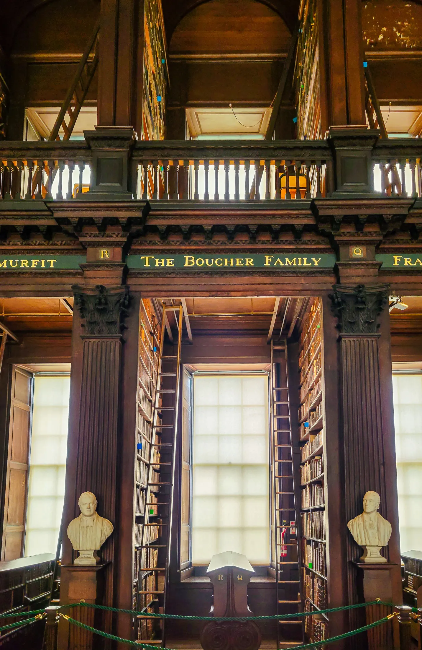
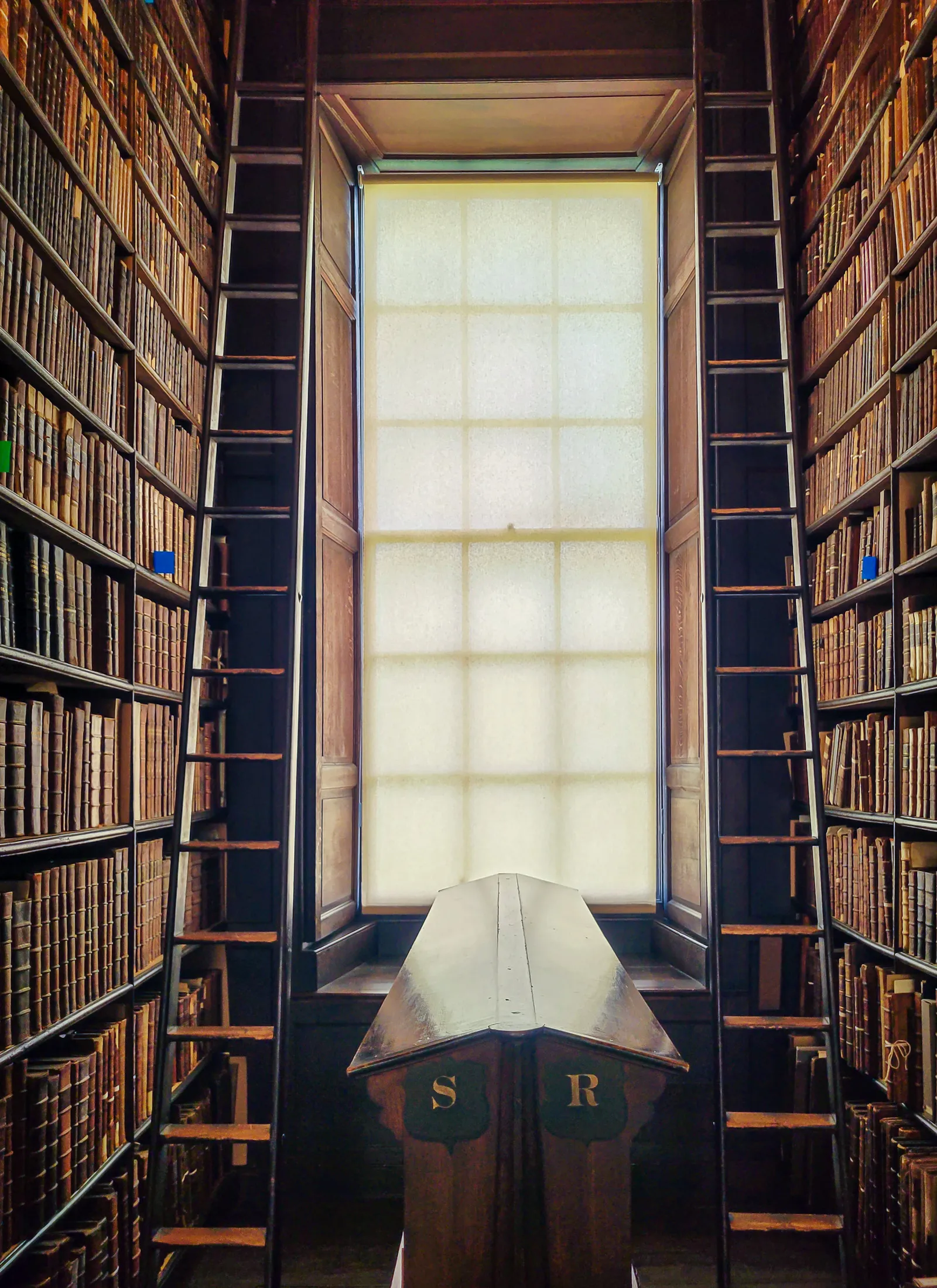
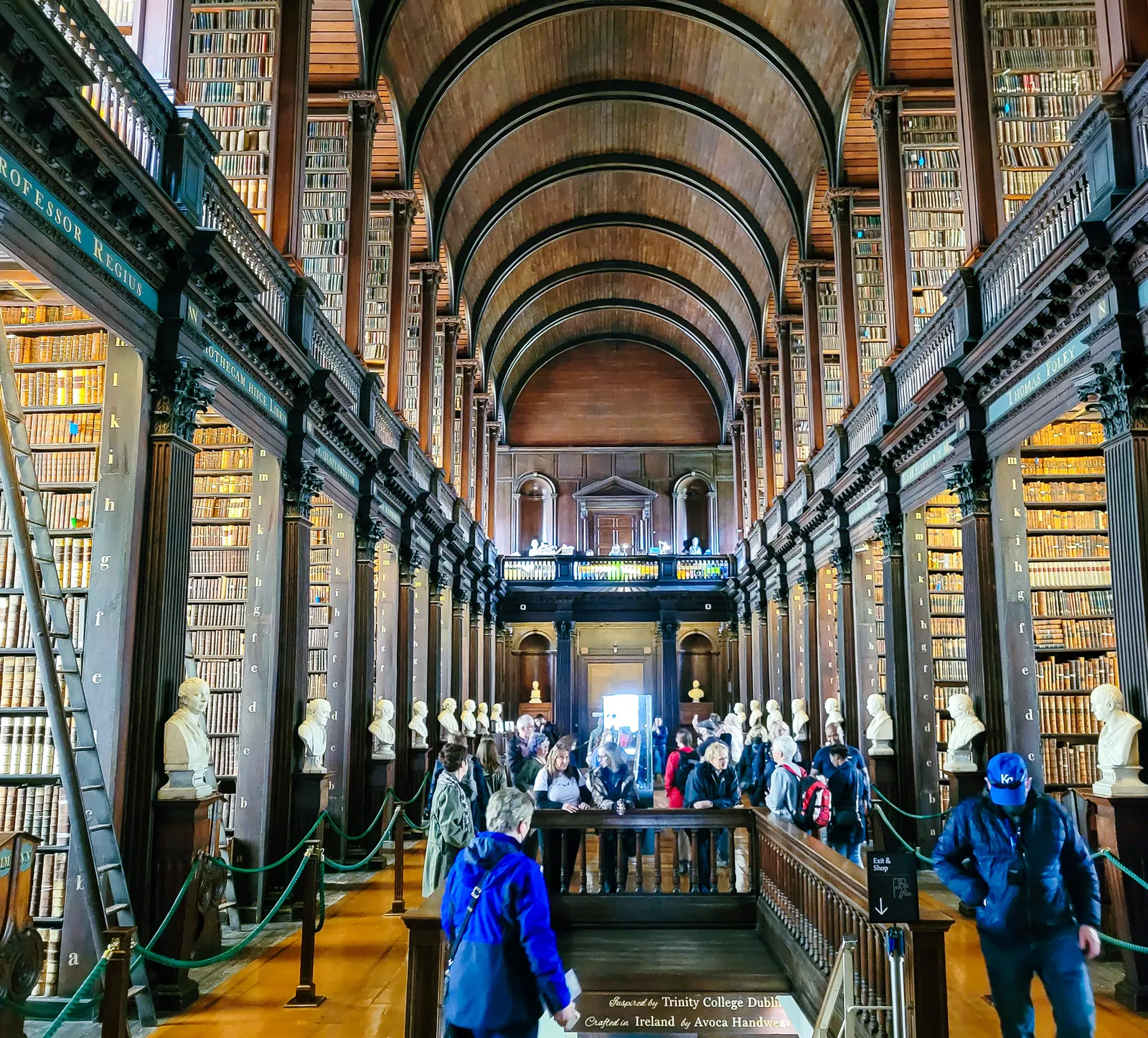
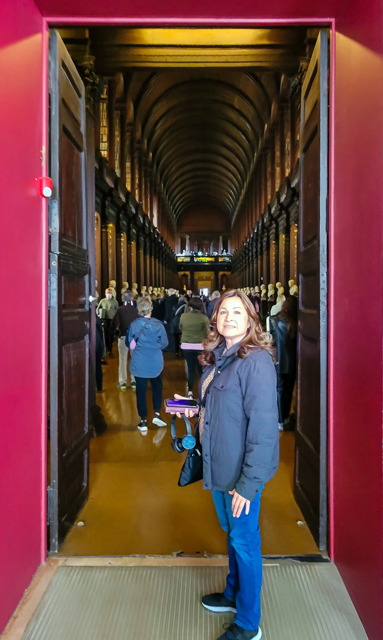
From the Book of Kells exhibit, visitors are guided upstairs into the Long Room Library, and the moment you step inside, it's obvious why this is one of the most photographed libraries in the world. The barrel vaulted ceiling rises 65 feet overhead, arching above dark oak shelves that hold more than 200,000 of the library's oldest volumes.
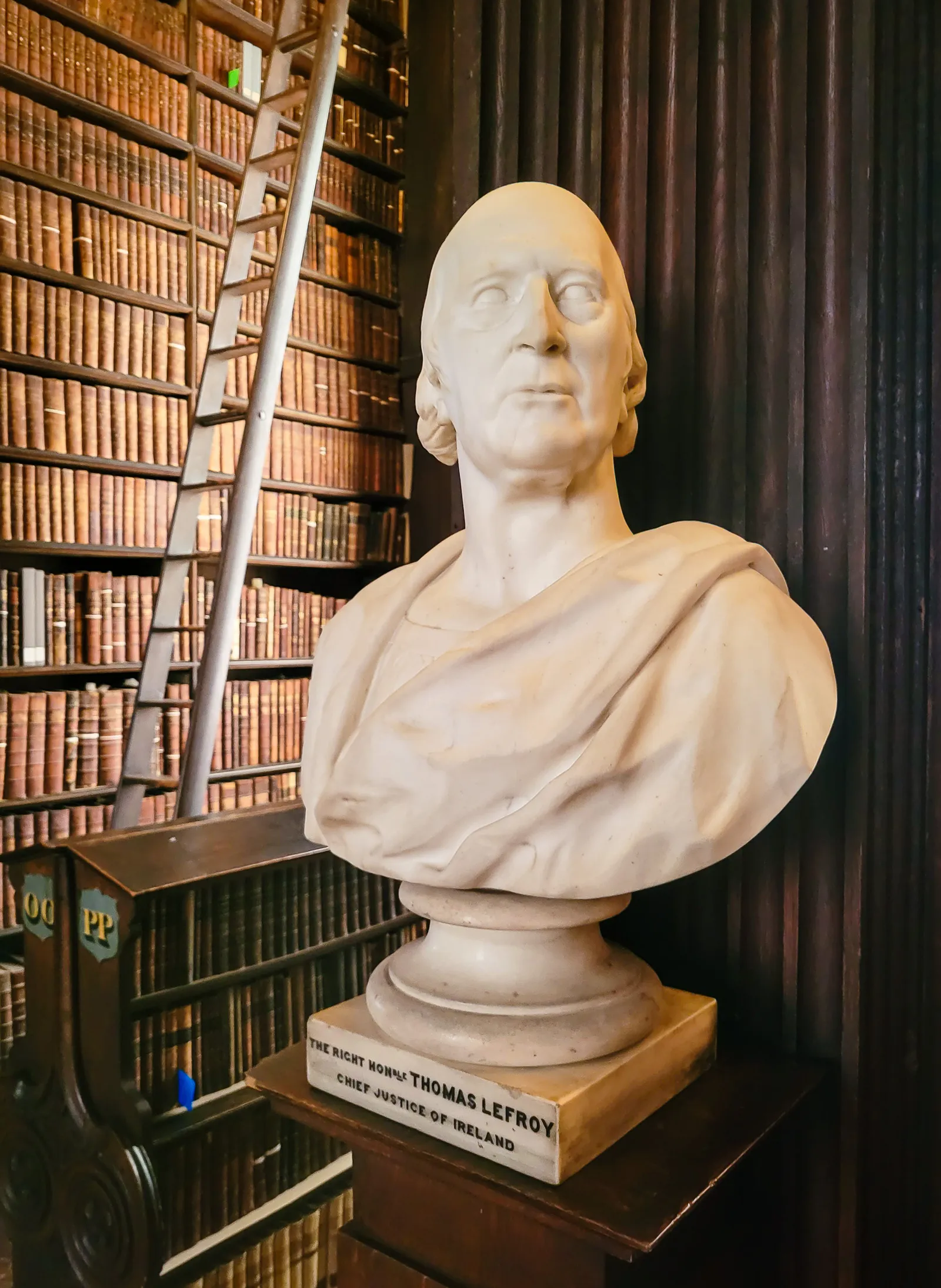
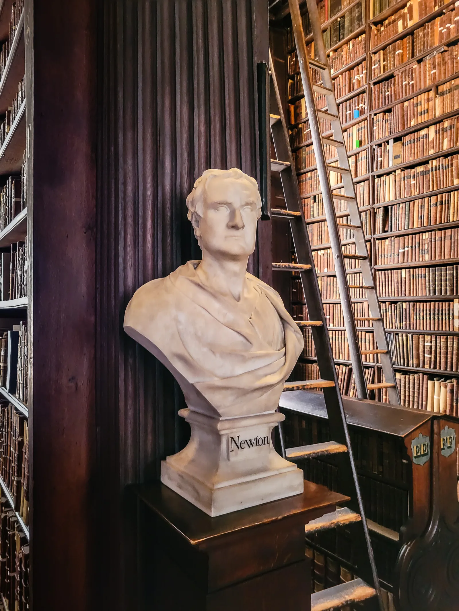
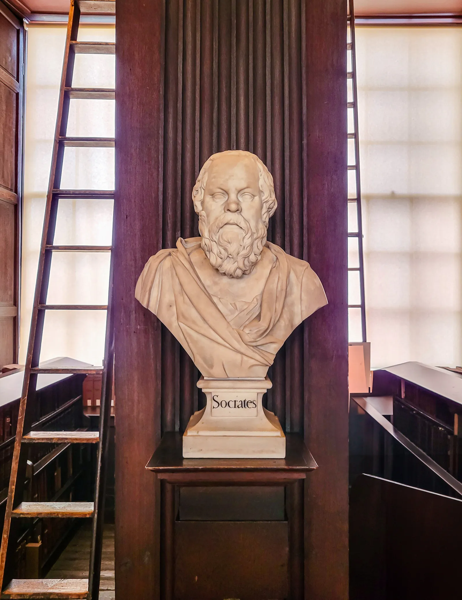
Stretching 213 feet in perfect symmetry, the hall is lined with marble busts of writers and philosophers, washed in soft natural light from high windows, and filled with the unmistakable scent of old books.
Anyone who loves weathered, historic spaces will be drawn to the repeating arches, the shifting light across the shelves, and the sheer sense of scale. Photography is encouraged (no flash), and every angle offers a new perspective, though no picture truly captures the atmosphere.
As we walked the length of the Long Room, we passed marble busts honoring great thinkers from across the centuries, Aristotle, Shakespeare, and Jonathan Swift quietly watching over visitors as they move through the hall. Today, the space feels even more contemplative: as of 2026, the Long Room remains open, but its 200,000 books have been removed for Trinity's multi year conservation project. Many shelves now stand intentionally empty, and new displays explain how the historic collection is being preserved, offering a rare behind the scenes look at the library's ongoing restoration.



Where the early converts were baptized
After a morning at Trinity College, we stepped back into the Dublin sunshine and made the 15 minute walk to Saint Patrick's Cathedral. The route passed a mix of modern storefronts and Georgian terraces, the kind of contrast that gives Dublin so much character.
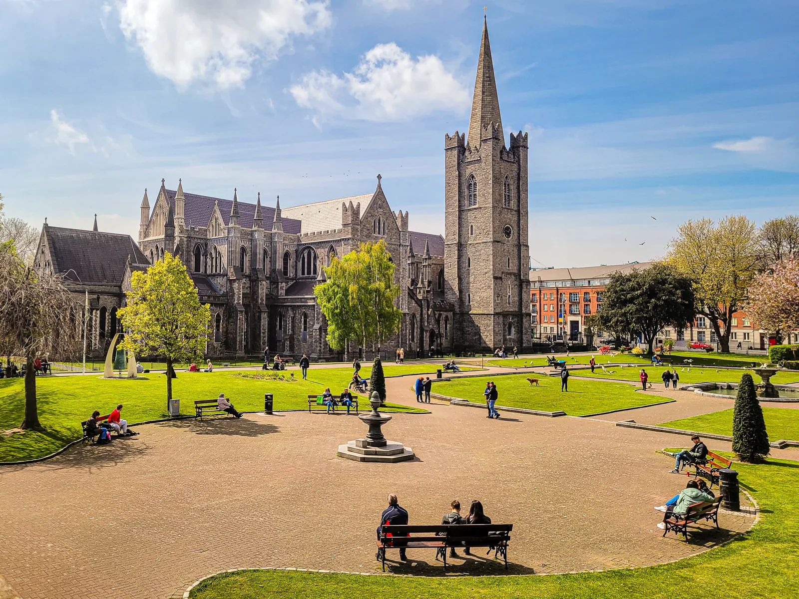
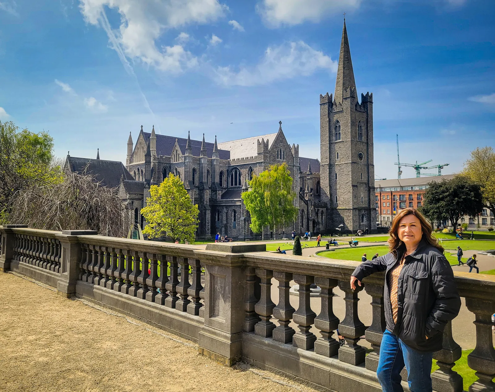
A few blocks later, the cathedral came into view. Its 141 foot spire rose above the rooftops while the medieval stone exterior, framed by St. Patrick's Park and centuries old graves, hinted at the history waiting inside.
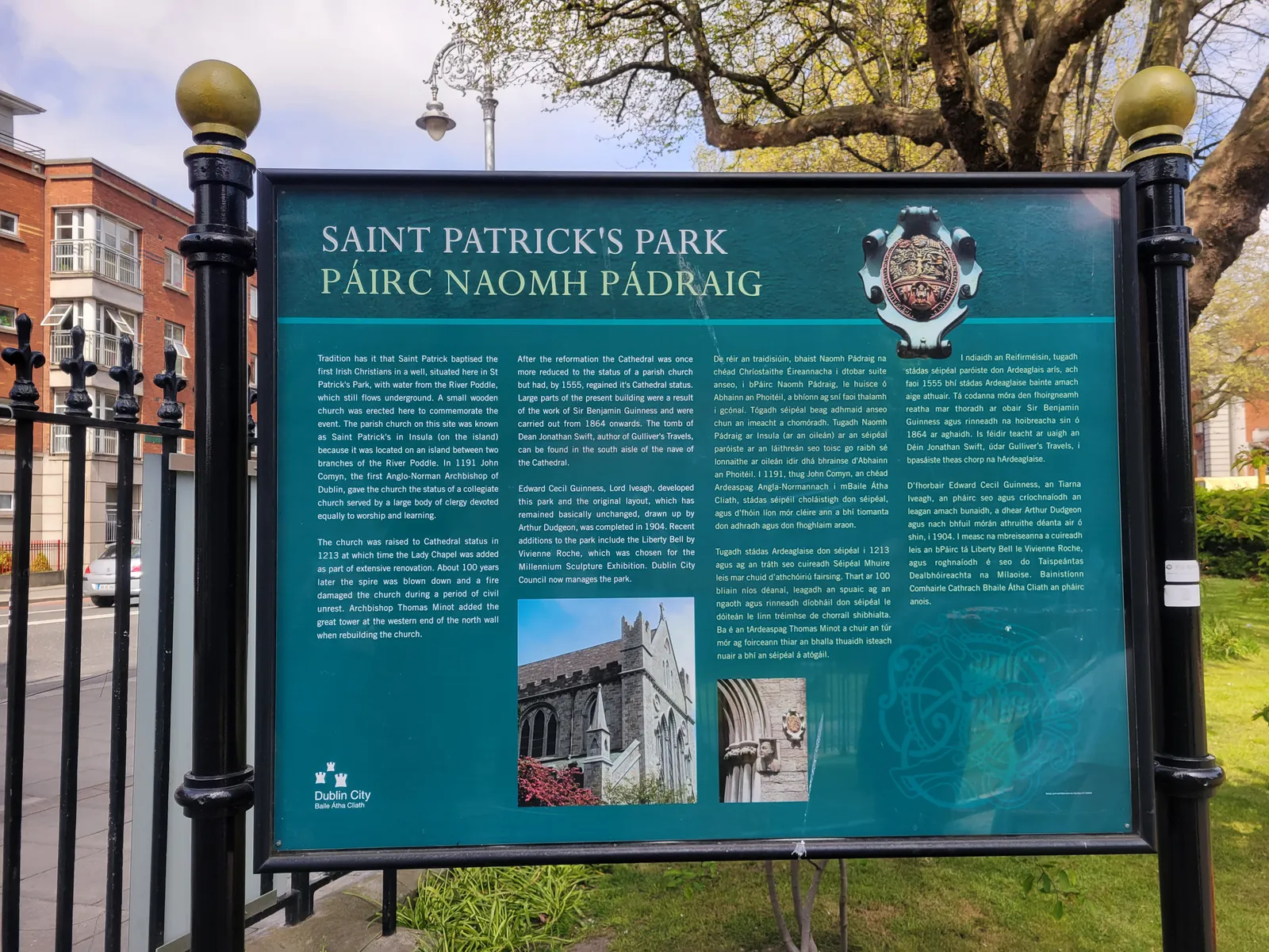
Founded in 1191 beside the well where Saint Patrick is traditionally believed to have baptized Ireland's earliest Christian converts, it remains the largest church in the country and the National Cathedral of the Church of Ireland. More than 800 years later, it is still one of Dublin's most recognizable landmarks.
One of the cathedral's most famous figures is Jonathan Swift, author of Gulliver's Travels, who served as dean from 1713 to 1745. His tomb rests inside the cathedral beneath a simple brass plaque beside that of his close friend Esther Johnson, known as "Stella."
Swift's sharp wit lives on in his self written Latin epitaph, a reflection of his lifelong defense of liberty. Standing before it, you quickly realize that Saint Patrick's Cathedral is more than a place of worship. It is also a monument to the people who shaped Ireland's literary and cultural history.
Inside Saint Patrick's Cathedral, the soaring Gothic arches, stained glass, and centuries-old monuments reflect nearly 800 years of Irish history. As impressive as the interior is, the most memorable feature isn't grand at all, it's a simple wooden door with a rectangular hole cut through it.
Known as the Door of Reconciliation, it dates back to 1492, when two feuding Irish families, the Earls of Kildare and Ormond, clashed within the cathedral. Seeking peace, Kildare cut a hole in the door and extended his arm in a risky offer of a handshake. Instead of taking advantage, Ormond accepted, ending the feud.
The door, complete with its famous hole, remains on display today and is believed by many to have inspired the phrase "chancing your arm." Standing before it, you're reminded that history here isn't just something you read about. It's something you can still see and touch.
The cathedral's exterior offers pleasant park like atmosphere, with a small fountain, and plenty of green space, it was a perfect place to pause before our next Dublin stop.
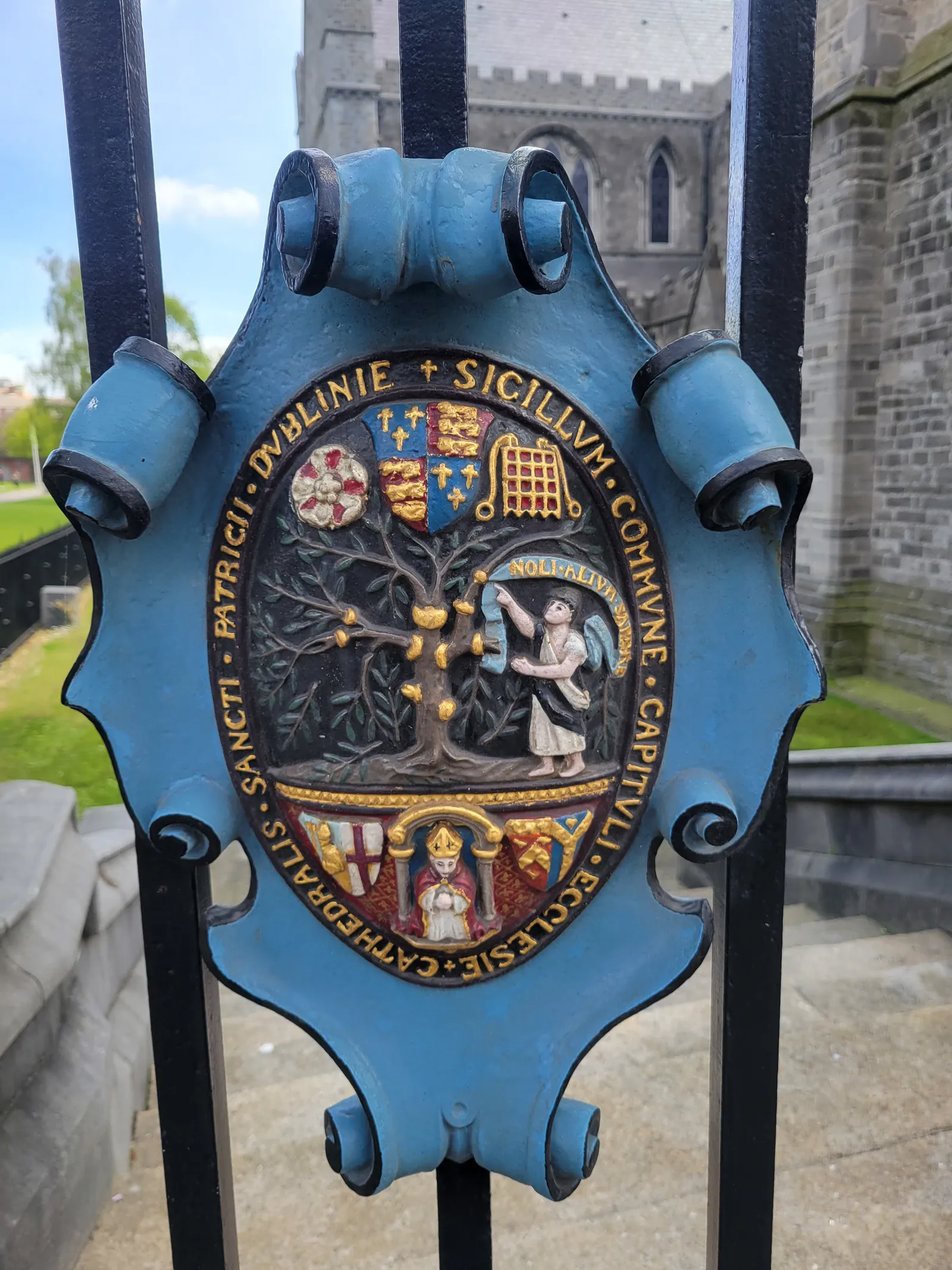
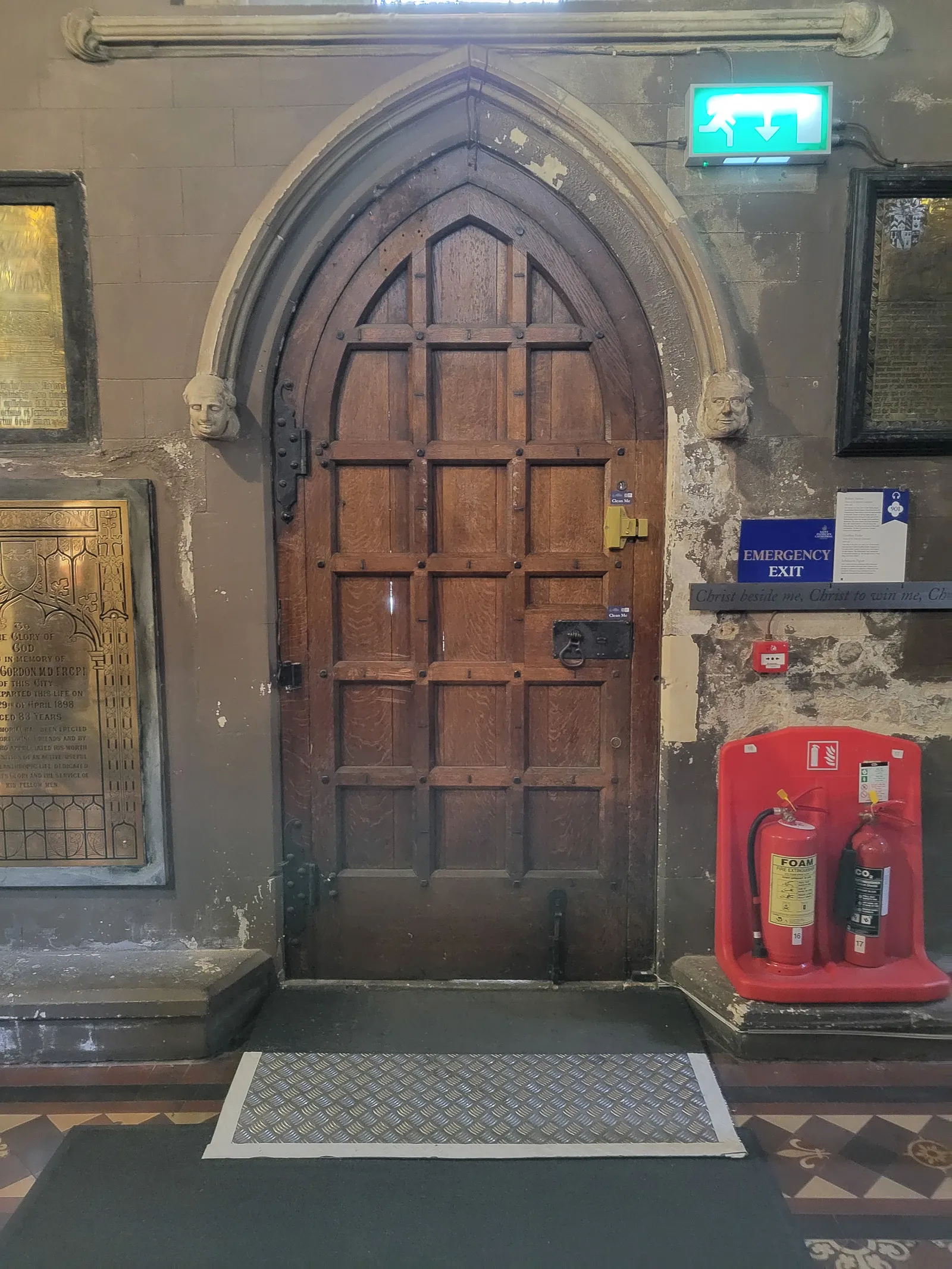
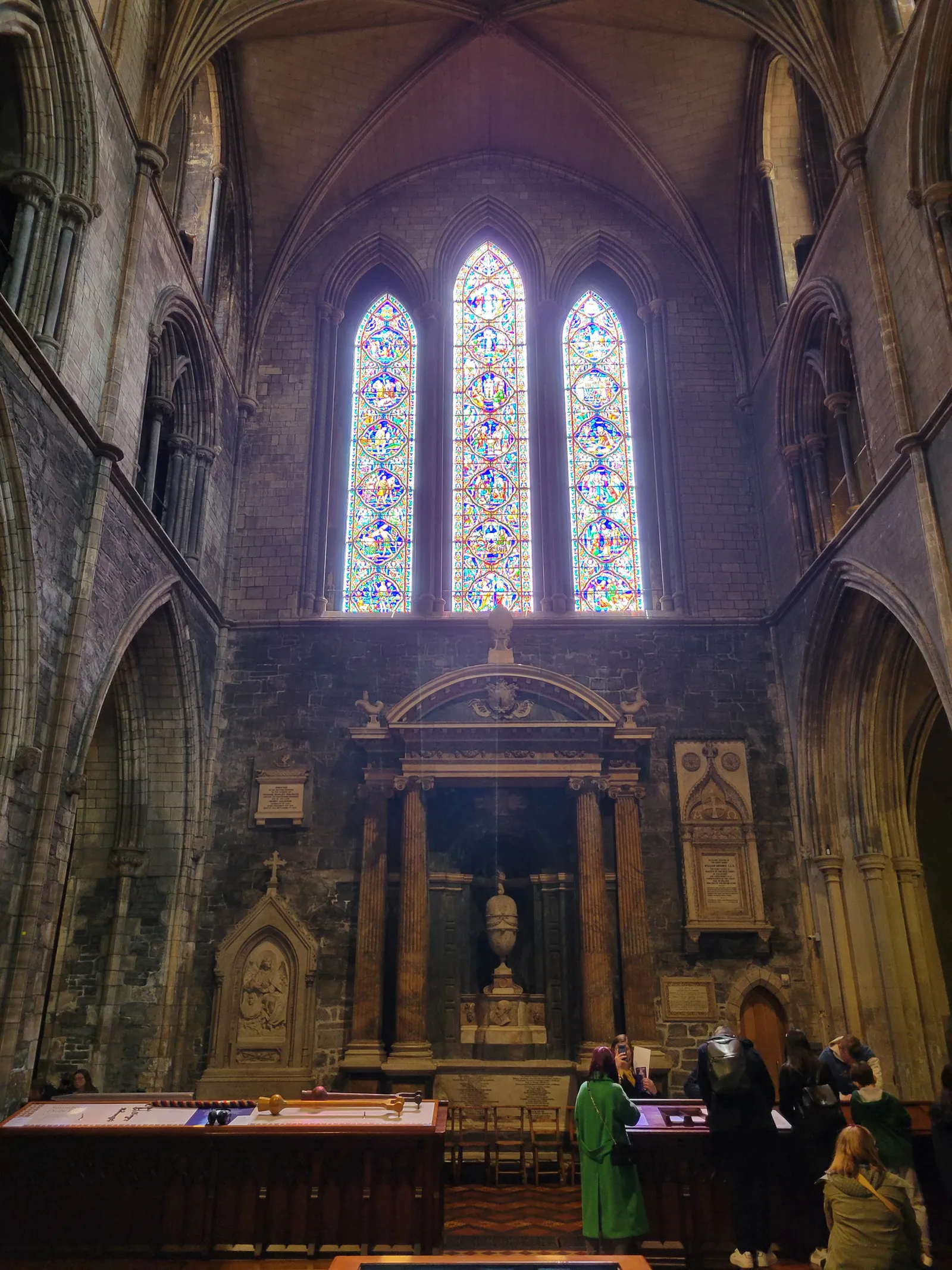
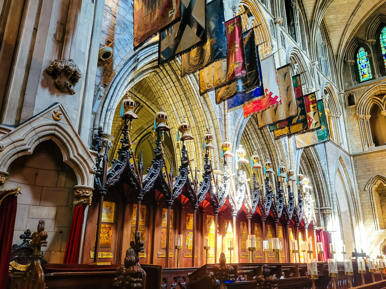
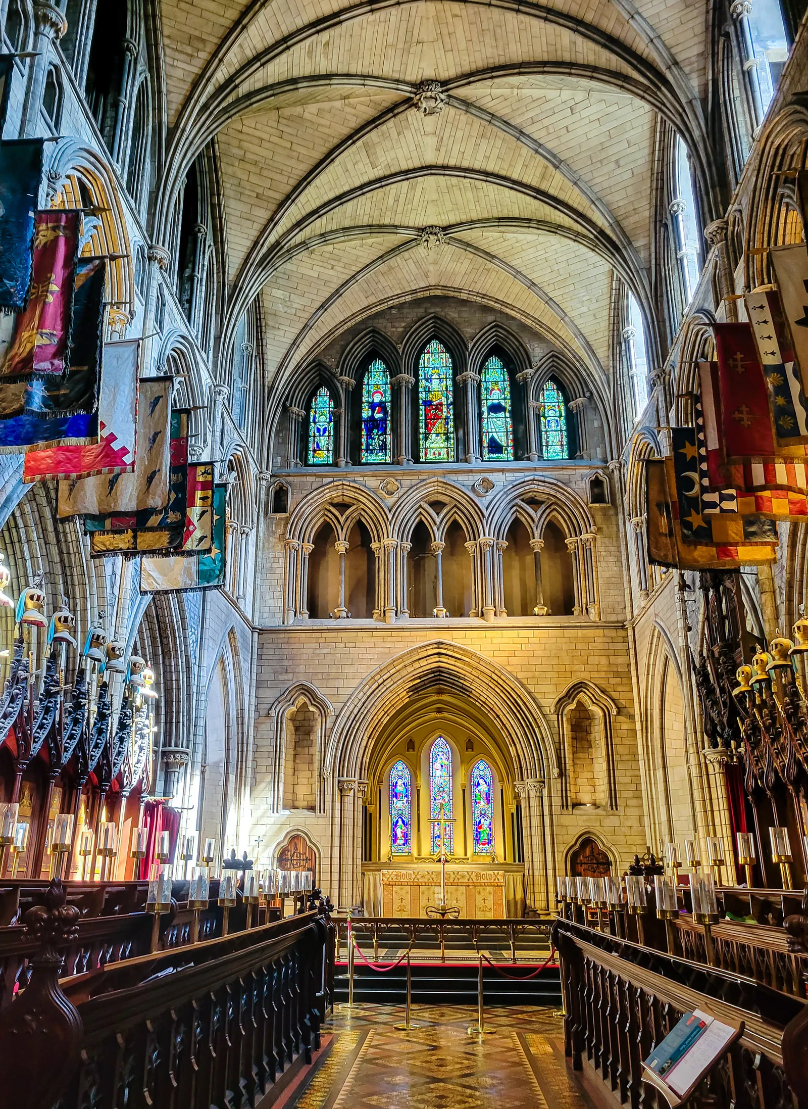
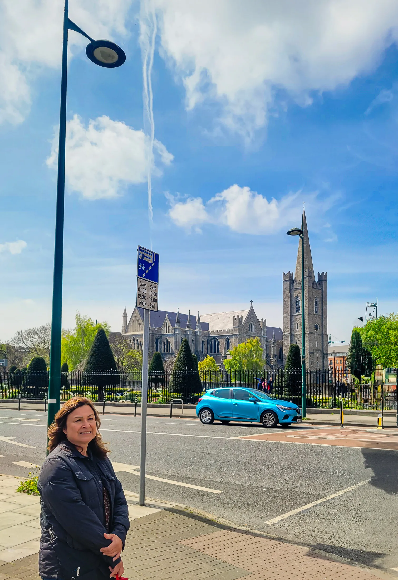
- Location: St Patrick's Close, Dublin 8 (Liberties neighborhood)
- Getting there: 12-minute walk from Temple Bar; 15 minutes from Trinity College; buses 49, 54A, 77A nearby; Luas Red Line to Jervis + 10-minute walk
- Admission: €8 adult (verify current pricing on official site)
- Hours: Open daily; hours vary on Sundays due to services
- Time needed: Plan 45–60 minutes inside
- Highlights: Door of Reconciliation, Jonathan Swift's tomb, medieval tile floor near the altar
- Best exterior views: St. Patrick's Park
After soaking in the quiet serenity of St. Patrick's Cathedral, we set off on foot for the next Irish icon on our list: the Guinness Storehouse.
The walk took about 20 minutes through the historic Liberties neighborhood. While you can take a bus or taxi, walking is the best way to experience the city's character, and it helps you work up a thirst.
The Storehouse stands on the original St. James's Gate Brewery site, where Guinness has been brewed since 1759. Inside, the building's central atrium is designed to resemble a giant pint glass rising seven stories.
Each floor explores a different part of the Guinness story, from the brewing process and advertising history to cooperage and tasting experiences, where you'll learn the proper way to pour a pint.
Is it touristy? Absolutely. And yes, it gets busy by mid afternoon. But if you're even mildly curious about how Guinness is made or how Ireland built a global identity around it, the experience is genuinely worthwhile. The self guided layout lets you breeze past the exhibits that don't interest you and spend more time with the ones that do.
The highlight is the Gravity Bar on the top floor. Your ticket includes a complimentary pint, and the panoramic views of Dublin through floor to ceiling windows are spectacular. We had to enjoy our pints standing since every table and seat was taken, but the views stretching toward Dublin Bay and the Wicklow Mountains more than made up for it.
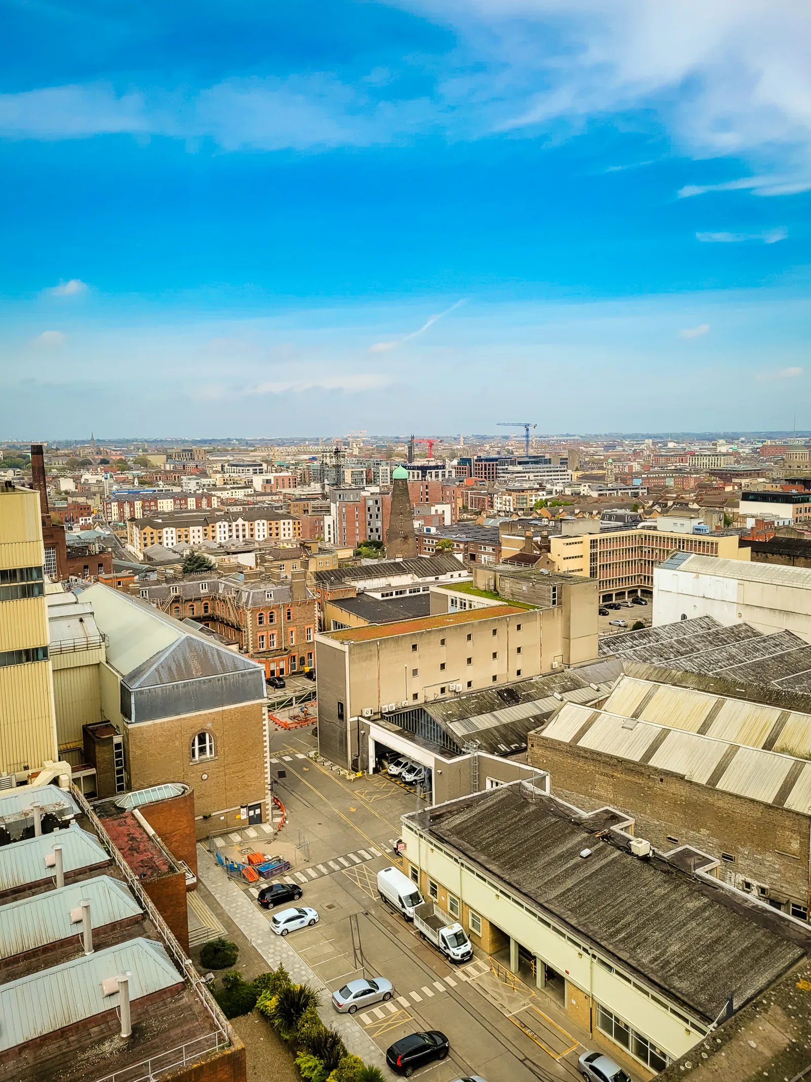
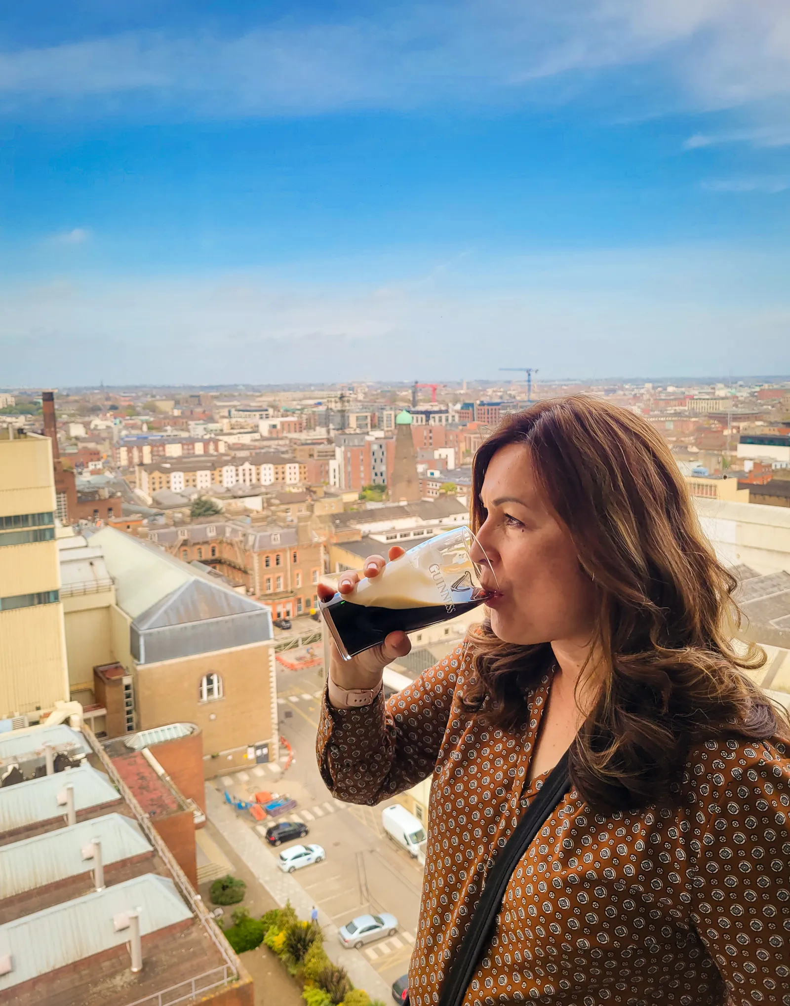
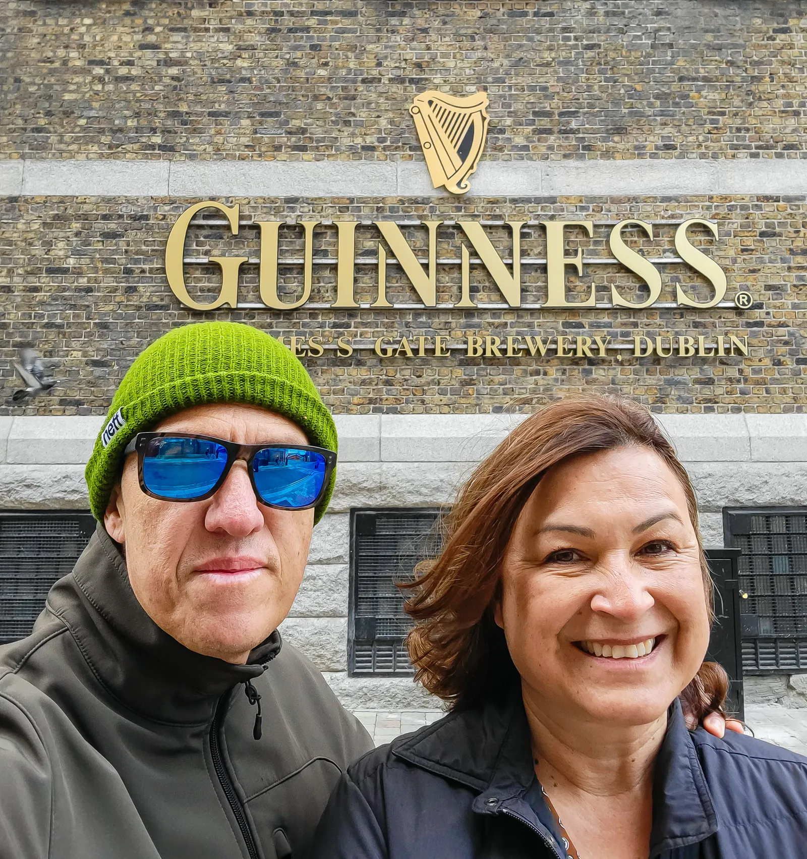
- Location: St. James's Gate, Dublin 8.
- Walking Time: 20–25 minutes from Temple Bar; ~15 minutes from Christ Church Cathedral.
- Transport: From Saint Patrick's Cathedral, it's a ~20-minute walk or a short bus ride (routes 13, 40, or 123).
- Admission: In 2022, tickets ranged from €26–32. A quick check in 2026 shows standard adult tickets now typically €30–38.
- Time Needed: Plan 1.5–2 hours for the full experience, or ~45 minutes if you're only visiting the Gravity Bar.
- Best Time to Visit: Morning or late afternoon for fewer crowds; midday is the busiest due to tour groups.
- Timed Entry: Book ahead; weekend and summer slots sell out quickly.
- Go to the Gravity Bar First: Head straight up to claim a window seat for your complimentary pint before exploring the lower floors.
- Photography Tips: The atrium's "giant pint glass" design photographs best from floors 2–4; Gravity Bar is ideal for wide-angle shots of Dublin.
- Accessibility: Fully wheelchair accessible; elevators reach all floors.
- Food Options: Arthur's Bar and 1837 Bar & Brasserie offer solid meals; reservations recommended for 1837.
- Peak Seasons: Summer, weekends, and cruise-ship days see the highest crowds.
- Nearby Attractions: Christ Church Cathedral, St. Patrick's Cathedral, and the Liberties neighborhood are all within walking distance.
- Crowd Flow: The busiest floors are 1–3; the advertising floor and tasting rooms are calmer if you need a breather.
- Ticket Types: Standard admission includes one pint; upgraded tickets may include tasting flights or the Stoutie photo pint.
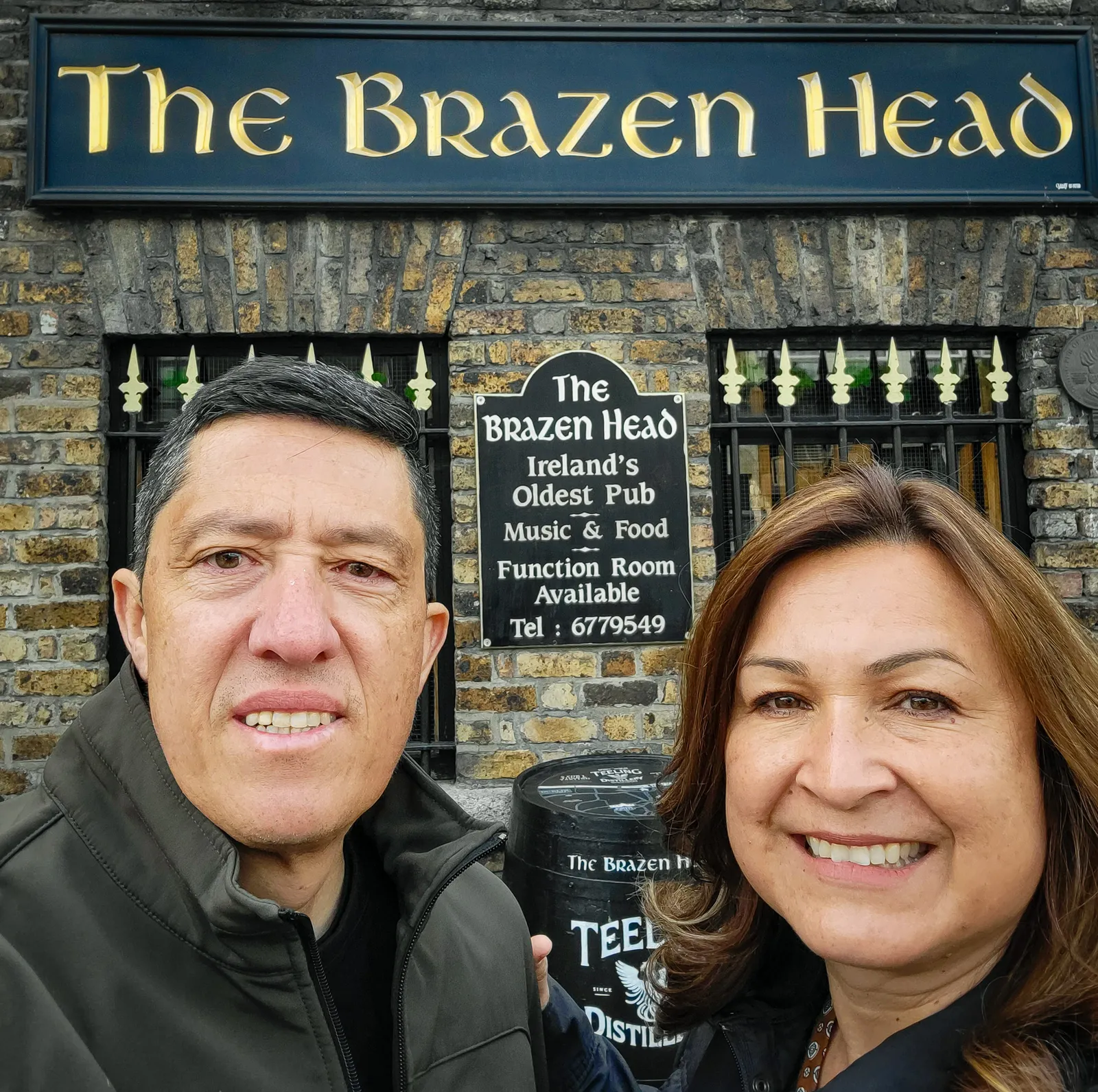
We'd booked "An Evening of Food, Folklore and Fairies", dinner paired with Irish storytelling about leprechauns, banshees, and the fairy folk. The food was classic Irish comfort (beef and Guinness stew, soda bread), but the real entertainment was our storyteller weaving tales of supernatural Ireland.
Mischievous fairies leading travelers astray, the banshee's death-warning wail, rules for tricking leprechauns, it was half history, half theater, fully entertaining.
2026 Update: This dinner experience "An Evening of Food, Folklore and Fairies" has moved to The Stag's Head pub. Brazen Head still serves great food and hosts live music, but the folklore dinner is elsewhere now.
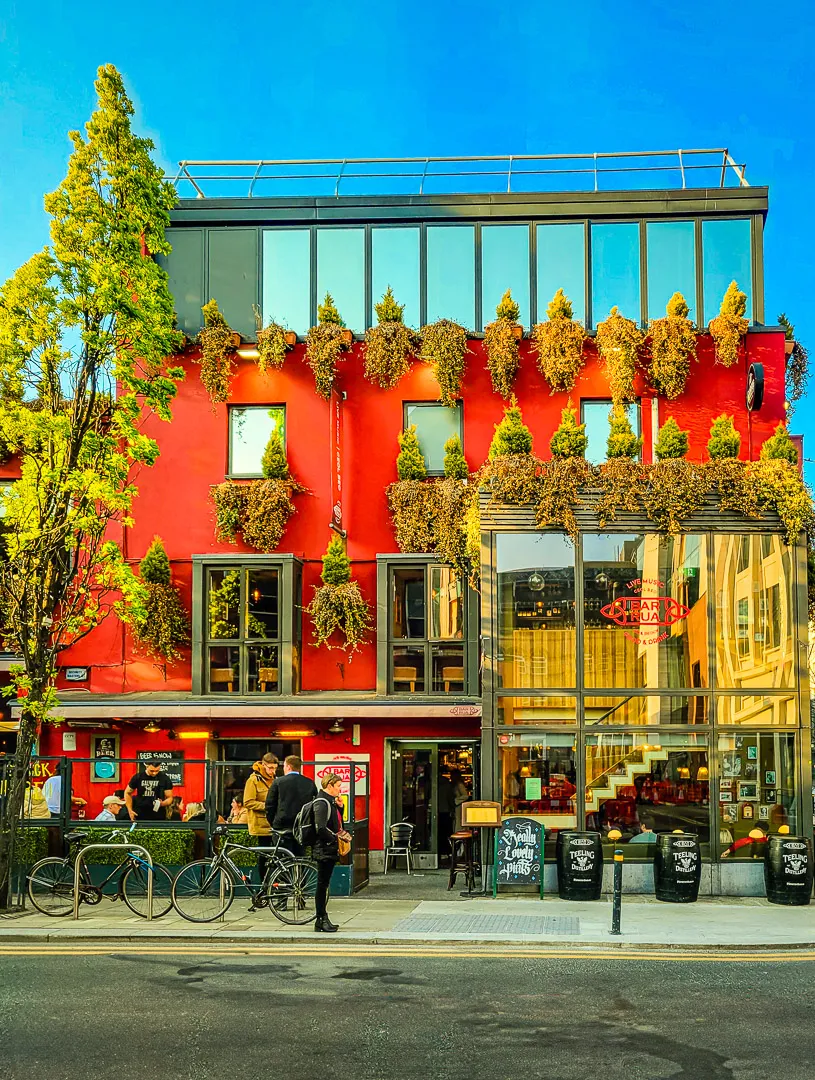
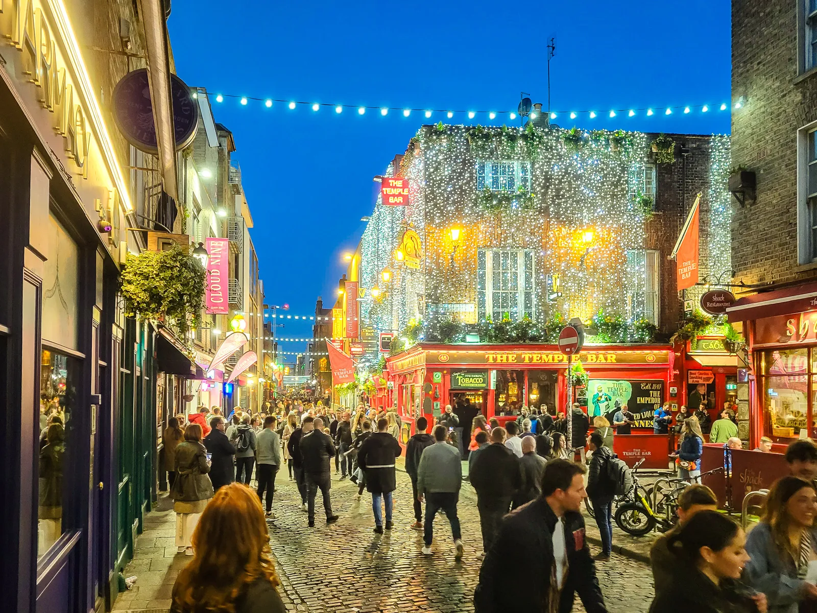
After dinner, we walked to Temple Bar to see Dublin's most photographed neighborhood. By 9 PM, it was packed with tourists, bachelor parties, and €8 pints. We took photos of the iconic red Temple Bar facade and quickly understood why locals avoid this area.
It's worth a 15-minute walk-through for the photos, but unless you're specifically looking for a crowded tourist pub experience, there's no real reason to go inside. Having checked the box, we headed back to our hotel for an early night, tomorrow marked the start of our Ireland road trip.
From Dublin to Kinsale & stops along the way
After two days exploring Dublin on foot, it was time to trade sidewalks for country roads. We took a short taxi ride to the rental car hub and picked up our car from My Irish Cousin.
The entire process was straightforward with transparent pricing that included, full insurance and Northern Ireland as well. The staff member patiently walked us through the car's controls and he even offered to back it out of the lot and park it on the street facing the right direction, classy. When I tried to tip him, he smiled, waved it off, and said, "Buy yourself a pint instead, mate." That simple act of kindness set the perfect tone for the journey ahead.
The drive to the Rock of Cashel is about 100 miles and follows the M7 south from Dublin. We made one quick stop for coffee and a bathroom break, giving us our first look at an Irish service station. My wife and I were impressed by how clean and spacious it was. At one point, we watched a young employee, who couldn't have been more than 16, casually replacing a wall panel with a screwdriver. We looked at each other and thought, that's impressive.
As Dublin's suburbs disappeared behind us, the landscape opened into the Ireland we had imagined. Rolling green fields, ancient stone walls, and sheep grazing on distant hillsides stretched in every direction. That was the moment we truly felt our Ireland road trip had begun.
- Choose a rental company with transparent pricing and full insurance coverage, and includes Northern Ireland.
- Book early to secure better rates and availability of automatic cars (manuals are more common).
- Manual small cars are ideal for narrow country roads; average cost is roughly €30–€50 per day or €200–€350 per week.
- Automatic cars are significantly more expensive, often 30–50% higher.
- Left-side driving takes practice—especially in cities. Stay alert for blind spots on the right-hand driver's side.
- Roundabouts are very common; traffic travels clockwise, yield to vehicles from the right, and indicate your exit.
- The M7 motorway south of Dublin is a great "practice zone" for first-time Ireland road trippers before tackling narrow country roads.
- Expect narrow, winding rural roads with stone walls and occasional blind bends; slow down and use laybys to let faster cars pass.
- Traffic flow: Irish drivers are generally patient, but expect faster cars behind you when adjusting to left-side driving.
- Fuel stations are mostly self-service; know whether your car uses petrol or diesel.
- Be aware of toll roads, especially the M50 around Dublin, which is barrier-free and must be paid online by the next day.
- Always good idea to photograph before driving off.
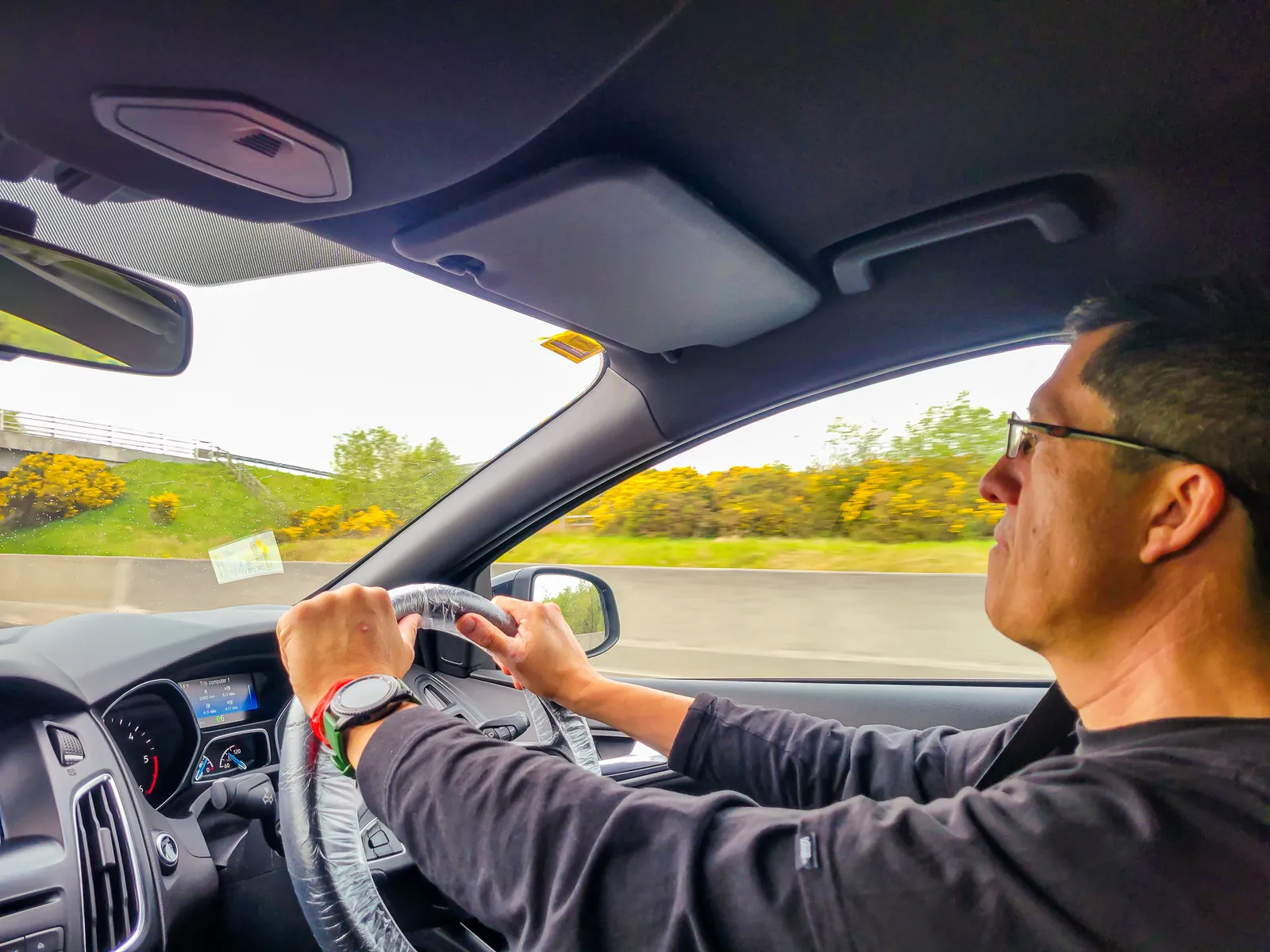
Driving on the left takes some getting used to. Everything that used to be automatic suddenly needs your full attention: right-hand steering wheel, left-hand gear shifts, staying left in the lane while your brain keeps screaming, "Wrong side! Wrong side!"
The first 20 minutes of our Ireland road trip were tense. Driving on the left for the first time, I gripped the wheel a little too tightly and drove slower than every Irish driver behind me probably appreciated, while my wife, riding shotgun on the left, kept hollering whenever I drifted toward the curb, a blind spot from the right-side driver's seat.
I'll confess, the driving dynamic sparked some good-natured banter between us, but by the time we hit the straight, wide lanes of the M7 motorway heading south, it clicked.
That stretch of road was the perfect "practice zone" before tackling the narrow country roads, and for first-time Ireland road trippers, left-side driving takes a bit of getting used to, but it's absolutely worth it for the scenic views along the way.
Where Kings ruled & Saints Preached
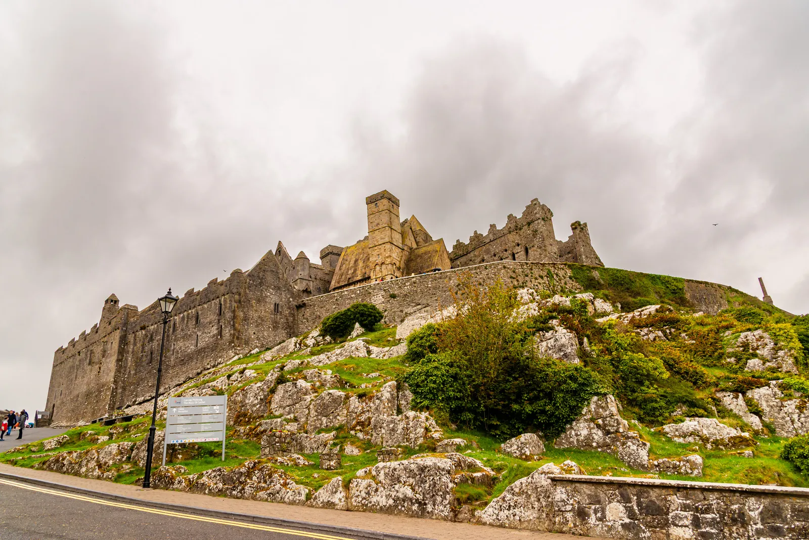
After 90 minutes of driving through increasingly rural Tipperary, the Rock of Cashel appeared on the horizon. There's no mistaking it, a cluster of medieval stone buildings rising from a limestone outcrop, dominating the countryside.
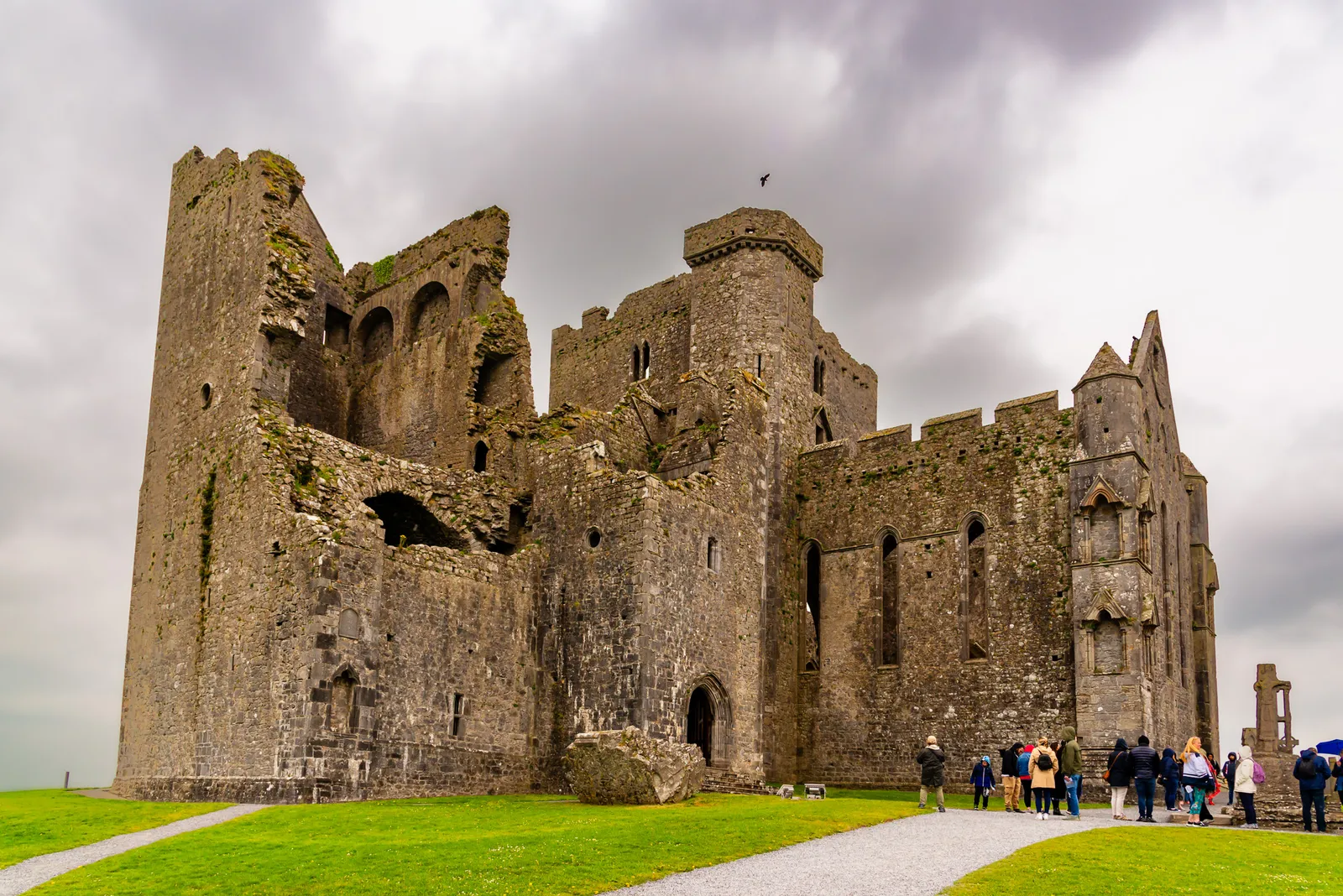
Also called St. Patrick's Rock, this site has been significant since the 4th century, serving as a royal fortress, the seat of Munster kings, and later a medieval ecclesiastical center. Today, it's one of Ireland's most photographed historic sites, and standing in the parking lot with your first view of those ruins silhouetted against the sky, you understand why.
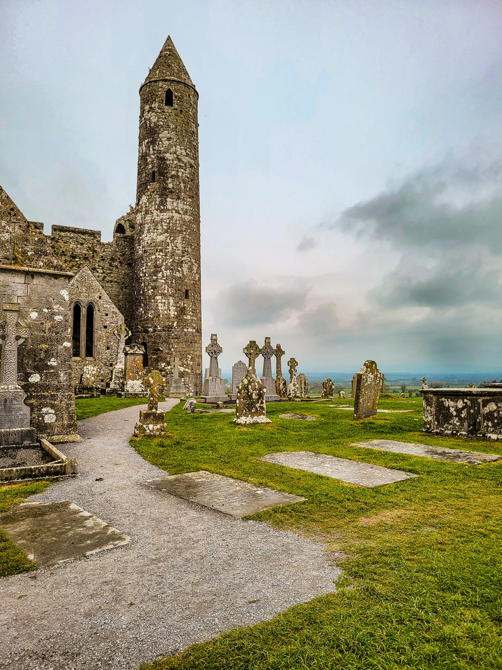
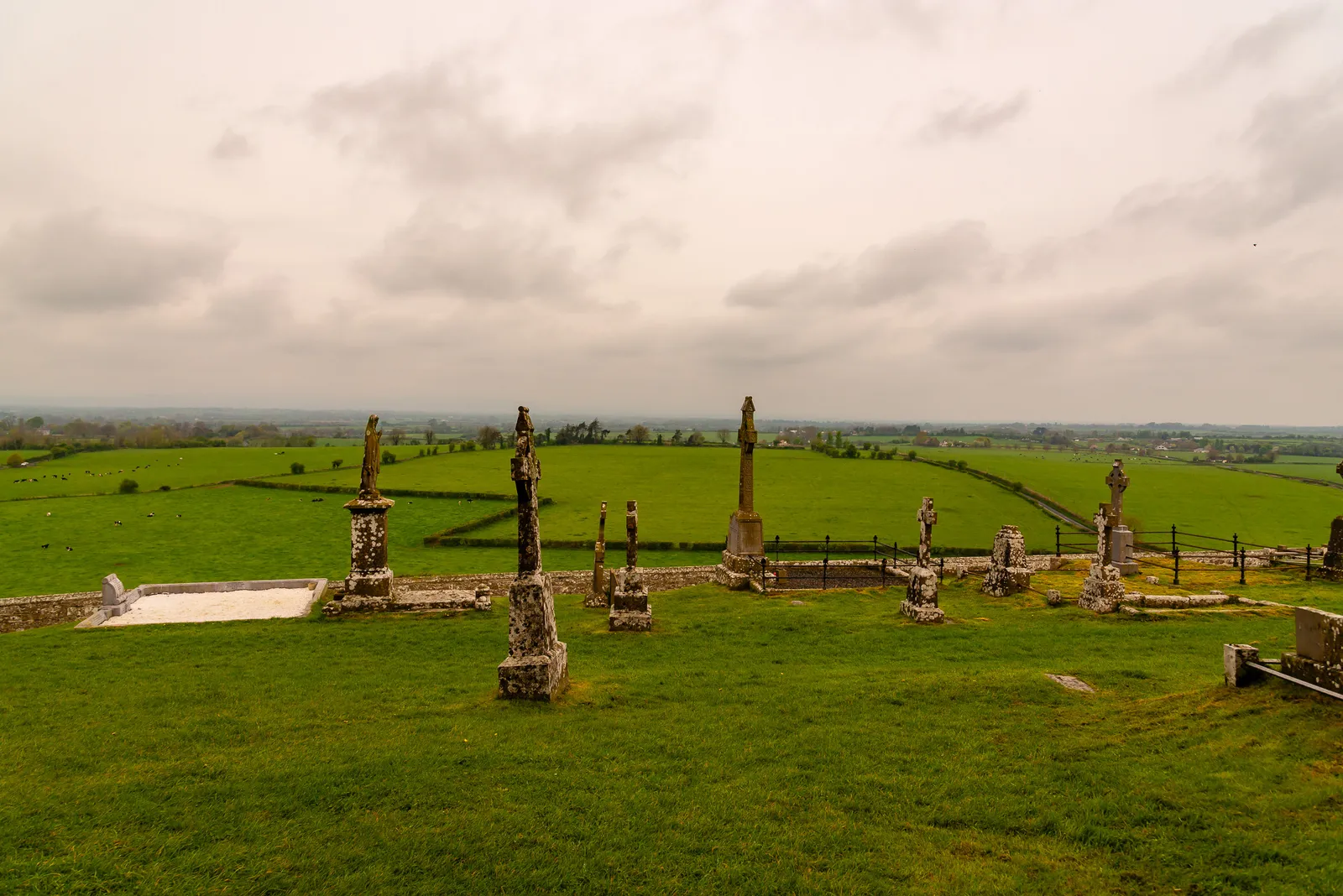
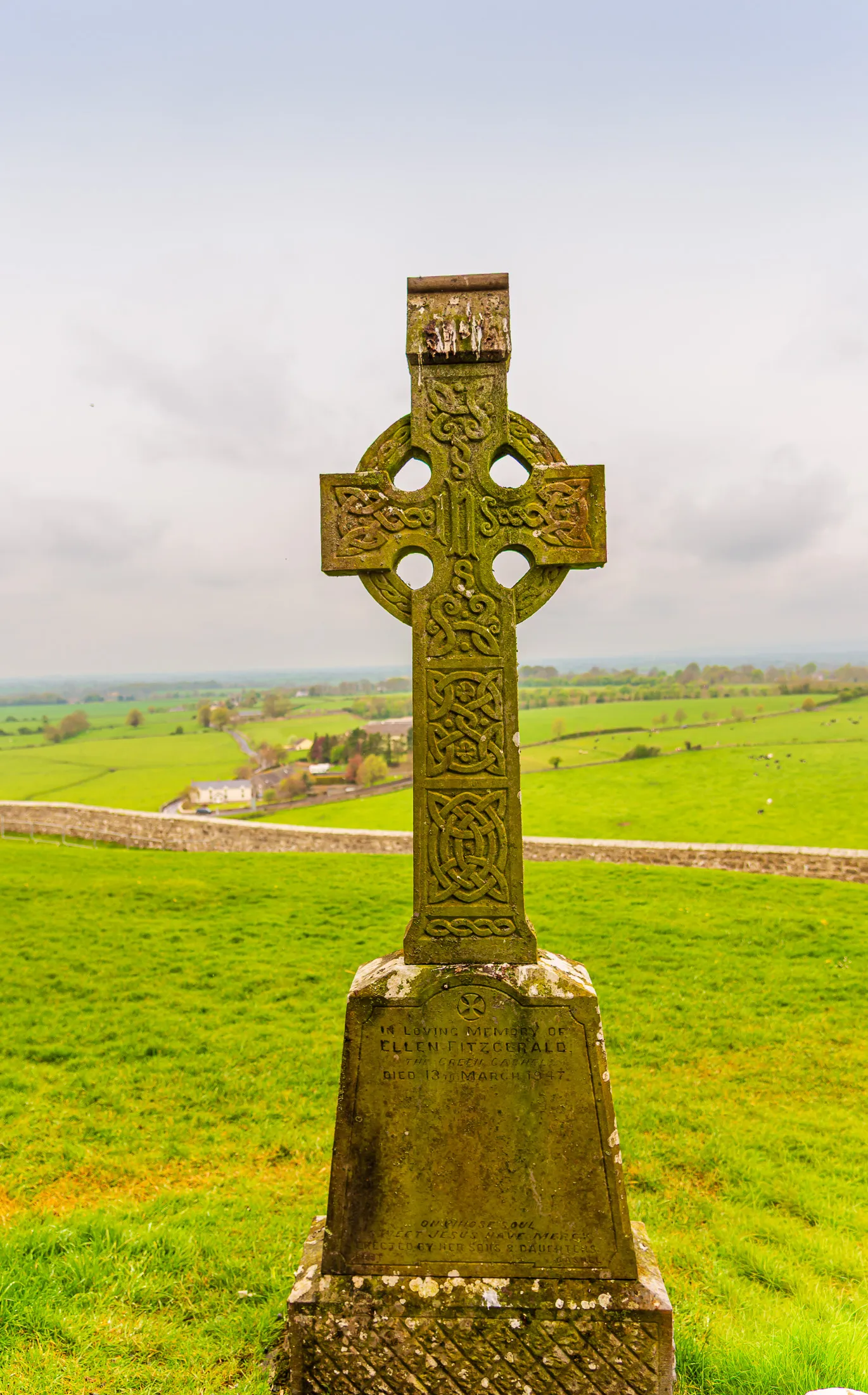
After parking at the base of the hill, my wife and I made the short walk up toward the Rock of Cashel, the views widening with every step. The countryside rolls out in every direction, and near the top you get that first sweeping look over the Golden Vale, the patchwork of green fields that makes Tipperary so iconic. By the time we reached the entrance, we were already surrounded by history: weathered Celtic crosses, ancient gravestones, and the ruins rising above us like something out of another century.
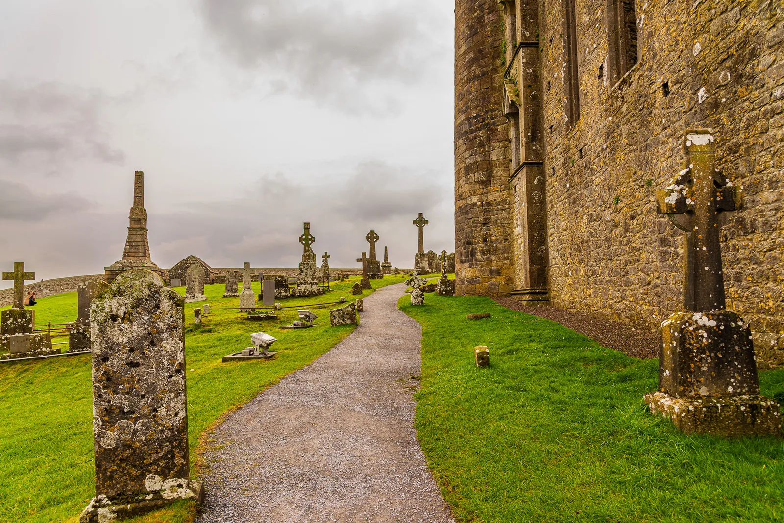
With a few minutes before the next guided tour, we wandered through the graveyard that wraps around the complex. Celtic crosses and headstones stand at every angle, some still sharp and legible, others softened by centuries of Irish wind and rain. It's the kind of place where you instinctively slow down.
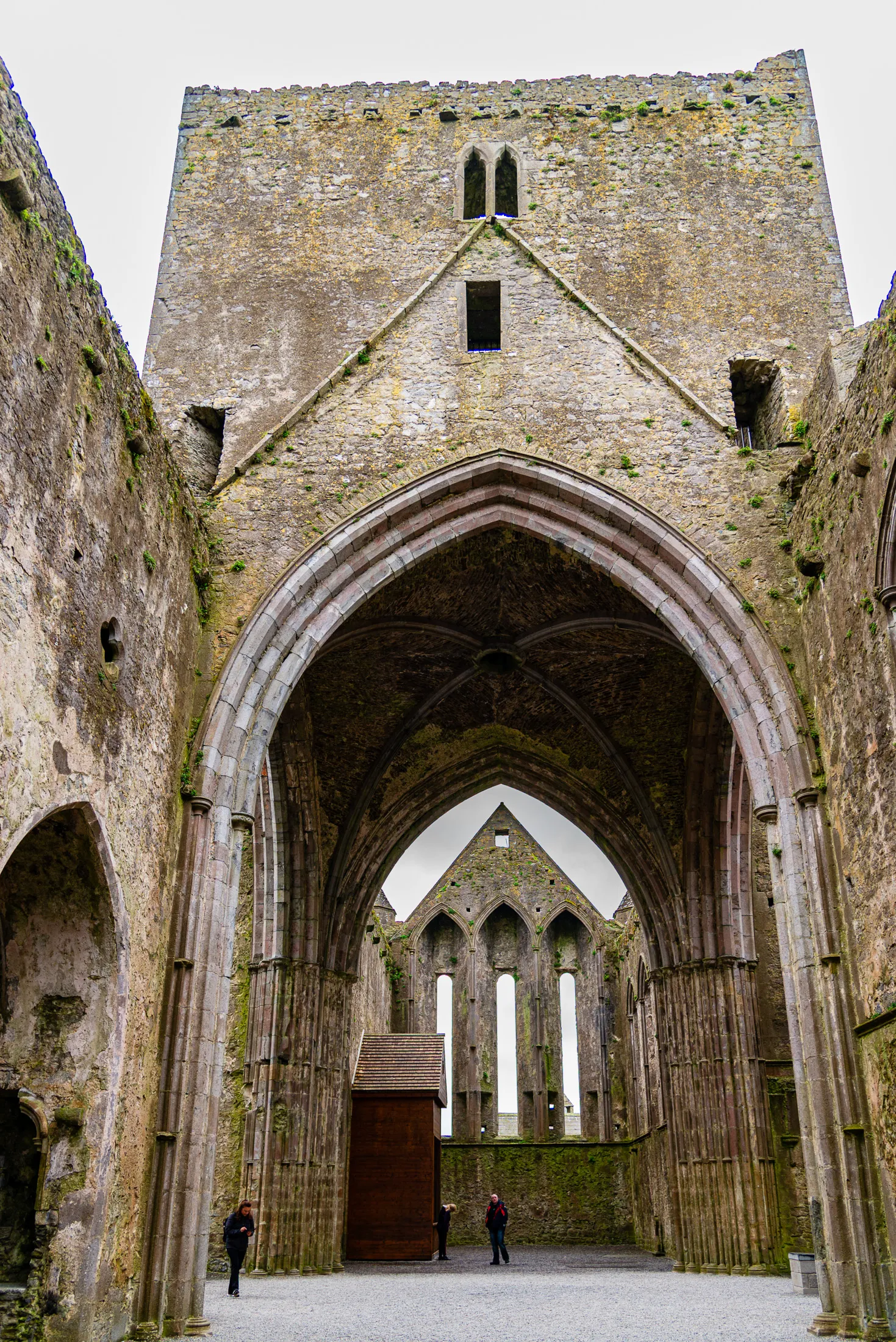
From there, we stepped into the Cathedral, a massive 13th century Gothic structure that's now roofless but still incredibly striking. Walking through the nave with open sky overhead is surreal. The stone arches frame the surrounding countryside like oversized windows, and it's easy to imagine how imposing this place must have been in its prime.
Just outside stands the Round Tower, dating back to the 11th or 12th century. You can't climb it, but it's one of the oldest buildings on the site and makes for fantastic photos, especially when the clouds move quickly behind it.
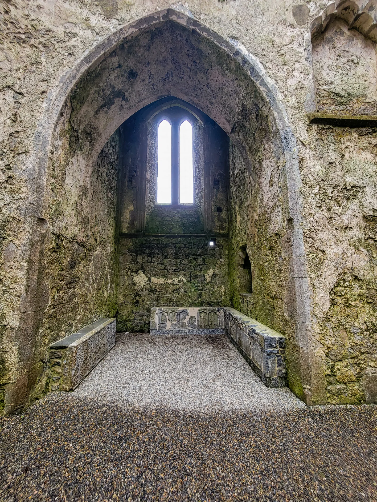
Cormac's Chapel was the part we were most excited about, and it absolutely lived up to the hype. This 12th century Romanesque church is covered in intricate stone carvings, geometric patterns, animals, and religious symbols that have survived nearly a millennium. Inside, the barrel vaulted ceiling and carved capitals immediately catch your eye, but the real treasure is the set of rare 12th century frescoes. They're faint but unmistakably alive, offering a glimpse into medieval Ireland's artistry and devotion.
The chapel also holds a beautifully carved sarcophagus, believed to belong to a 12th century Munster king. As we moved through the tight stone passages and small stairways, we could almost feel the weight of the centuries layered into every surface.
We wrapped up our visit at the Hall of the Vicars Choral, a 15th century residence once used by the clergy. It's quieter than the main ruins, with a more intimate atmosphere that made it the perfect final stop. After the dramatic architecture and sweeping views outside, this smaller space offered a calm, reflective end to our time at the Rock of Cashel.
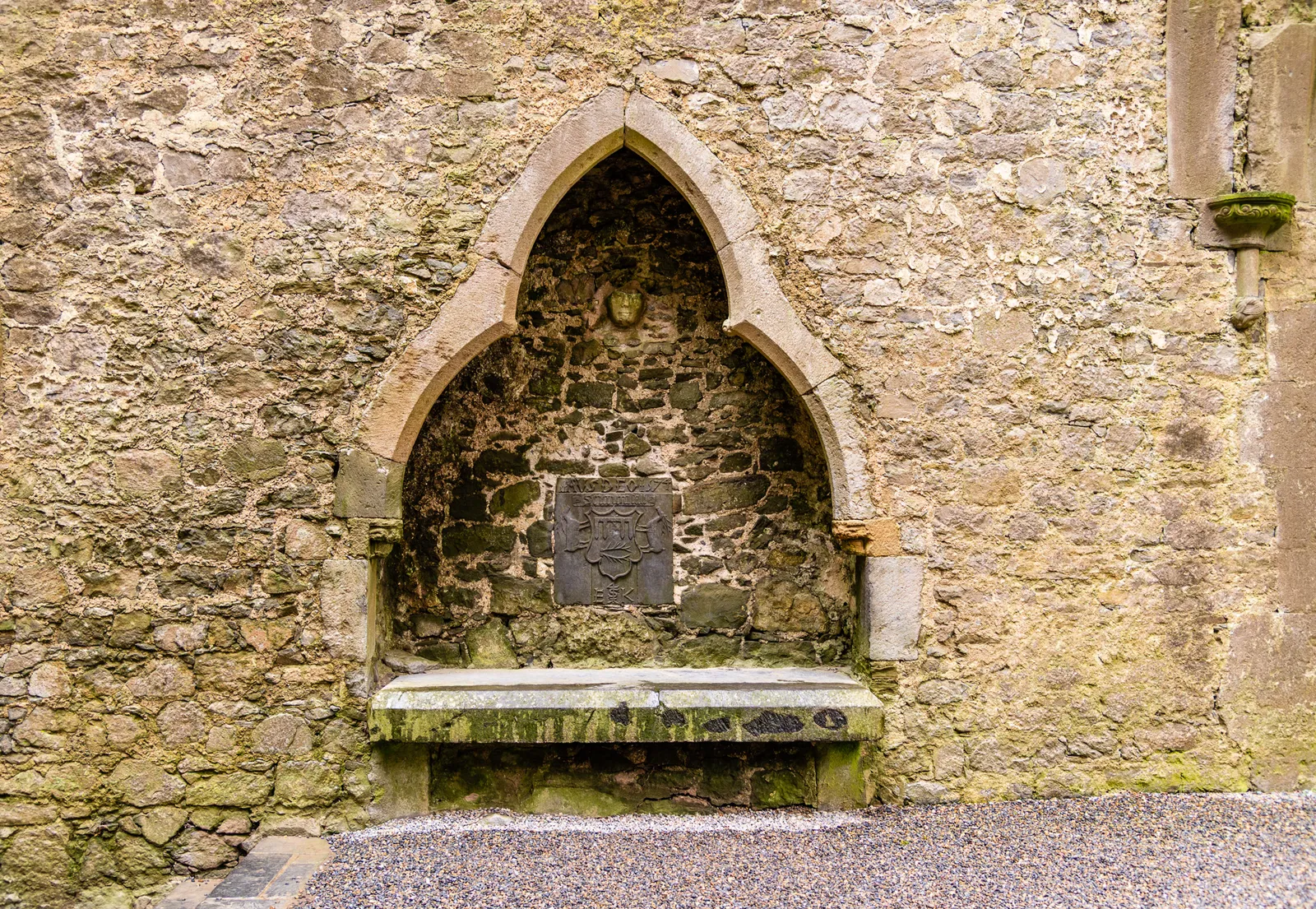
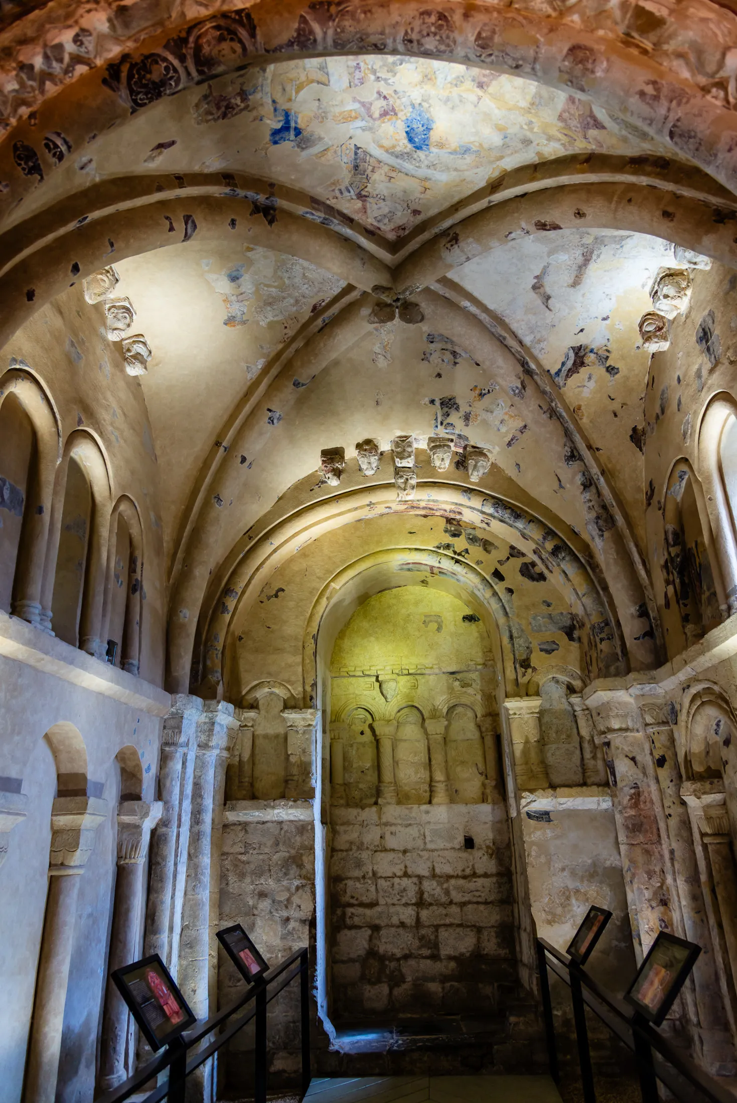
- Location: Cashel, County Tipperary
- Driving Time: 1 hour 45 minutes from Dublin
- Parking: Paid parking available at the base of the hill
- Admission: Tickets are purchased on-site, starting €8 for adults, with reduced rates for seniors, students, and children; a separate guided tour is required to enter Cormac's Chapel for an additional fee.
- Time Needed: 60–90 minutes for the Rock; 20 minutes for Hore Abbey
- Best Time to Visit: Morning or late afternoon for softer light and fewer crowds
A Medieval Gem, Its Castle, & Laughs
After leaving the Rock of Cashel, we headed east to Kilkenny for an afternoon walking tour with Shenanigans Walks. The drive is about 38 miles and takes roughly 50 minutes, with rolling countryside making the journey just as enjoyable as the destination.
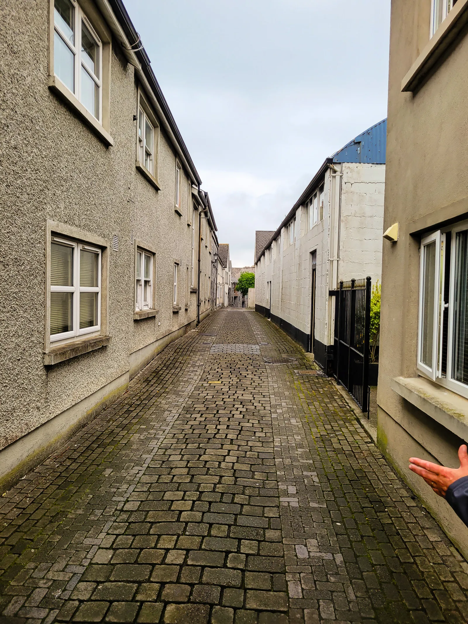
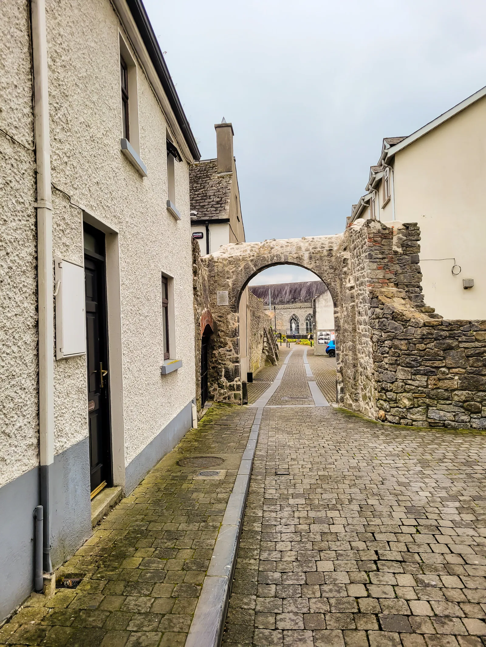
Before long, Kilkenny Castle came into view, a fitting welcome to one of Ireland's best preserved medieval cities. After a few laps searching for parking, we finally found a spot and walked through narrow streets lined with colorful storefronts toward our meeting point at the castle.
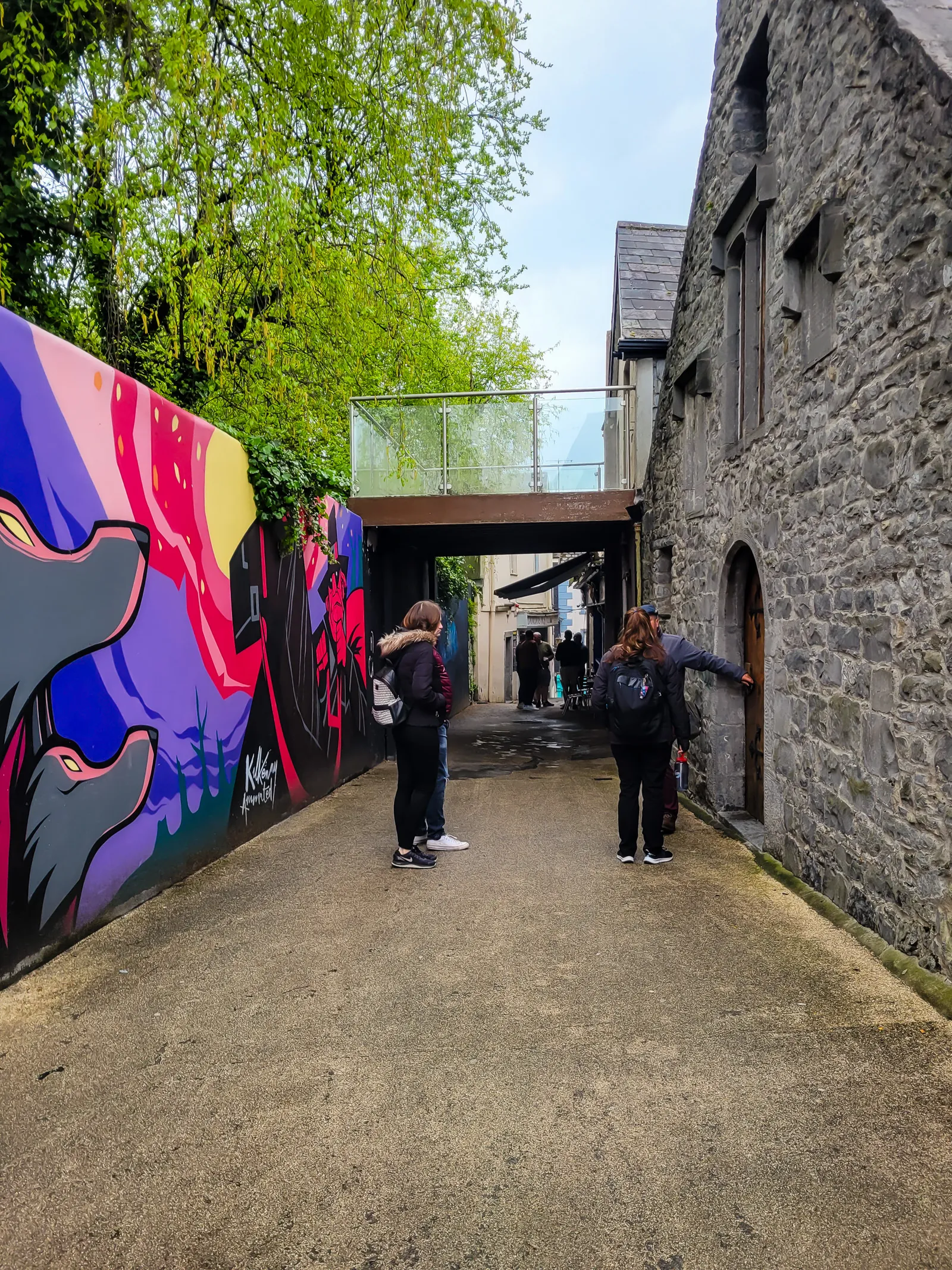
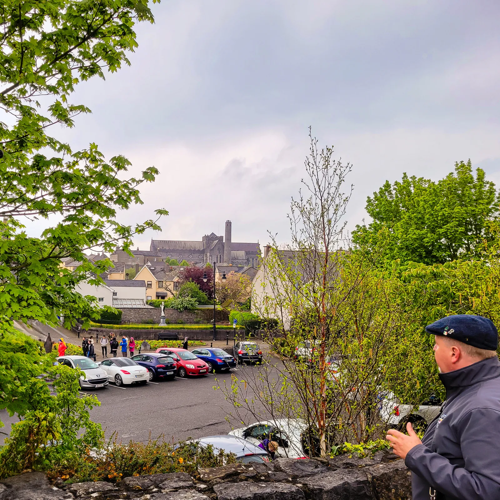
Over the next 90 minutes, our guide, Nevin, led us along the Medieval Mile, blending Irish history, local legends, comedy, and even a few magic tricks. It sounds gimmicky, but it worked remarkably well, with the illusions becoming part of the storytelling rather than a distraction.
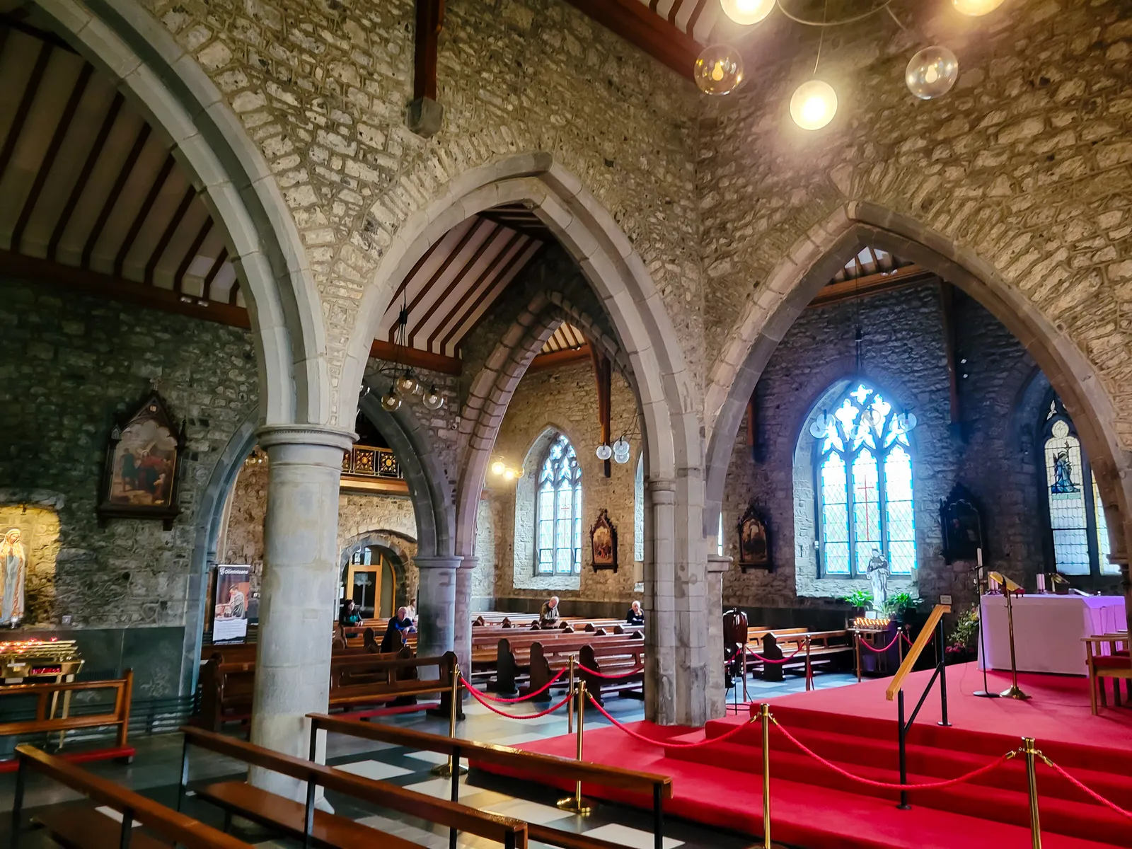
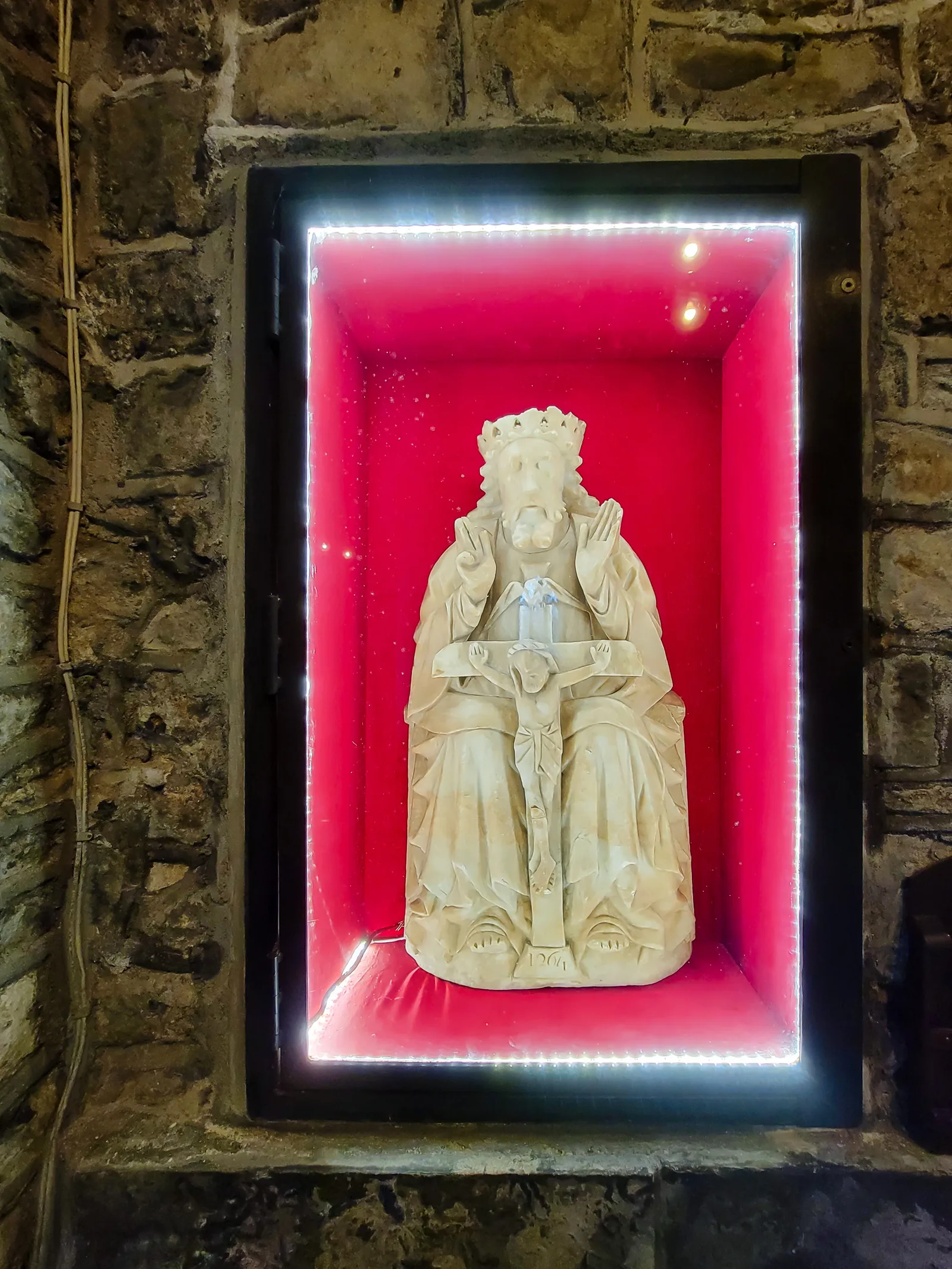
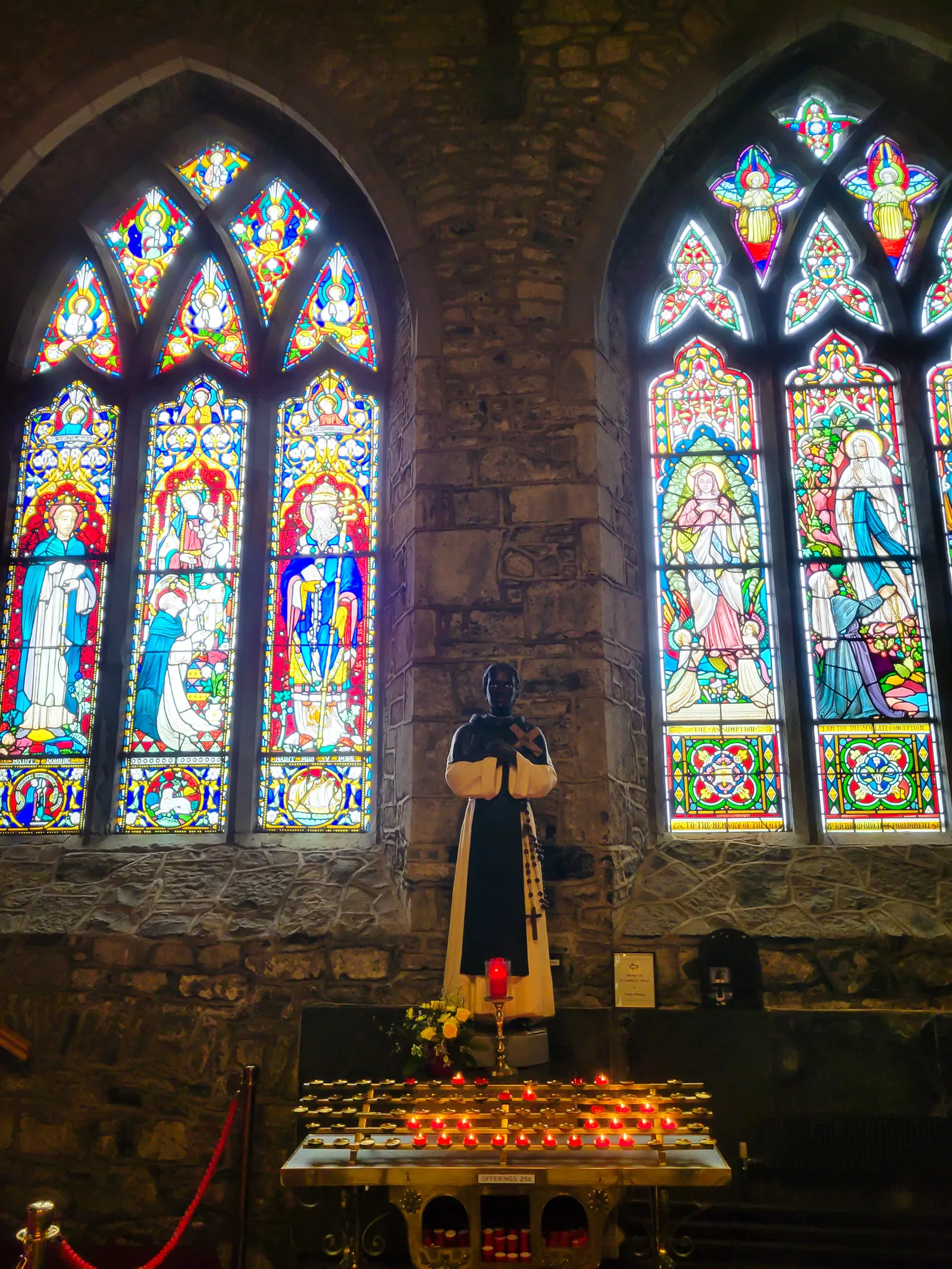
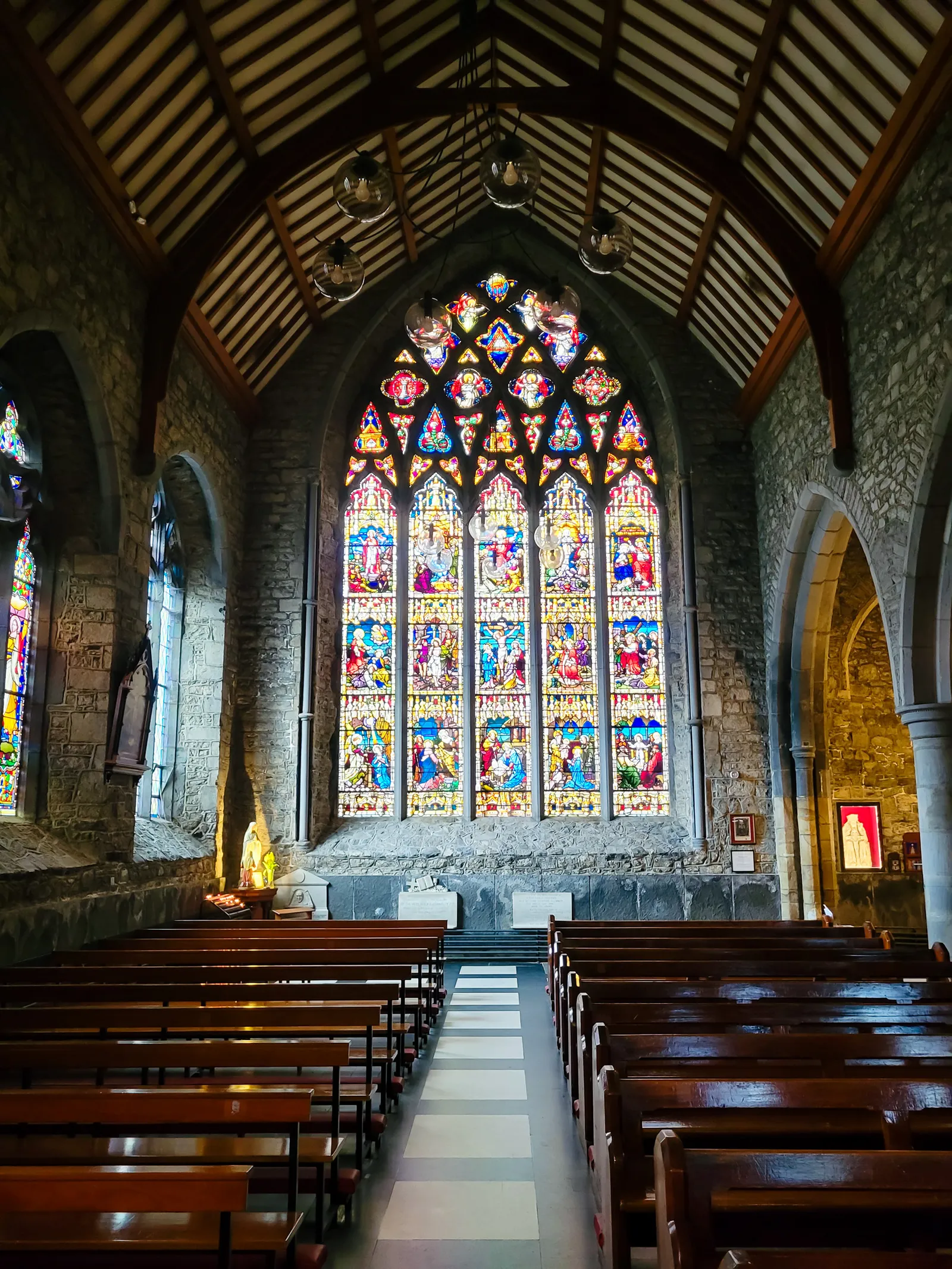
Along the way, we visited landmarks including Kilkenny Castle, St. Canice's Cathedral, and the Black Abbey. More memorable, though, were Nevin's stories of medieval life, from knights and merchants to rebellious monks, clergy scandals, and the colorful characters who once walked these streets.
Nevin is genuinely funny, not just "tour guide funny," but a talented comedian with great timing. We laughed far more than we expected.
The tour ended outside Kyteler's Inn, named for Alice Kyteler, Kilkenny's infamous "witch." Nevin recommended staying for dinner and a pint, and spending an evening in a 13th century pub sounded like the perfect way to end the day. Unfortunately, we still had to reach Kinsale before nightfall, so Kyteler's will have to wait until our next visit.
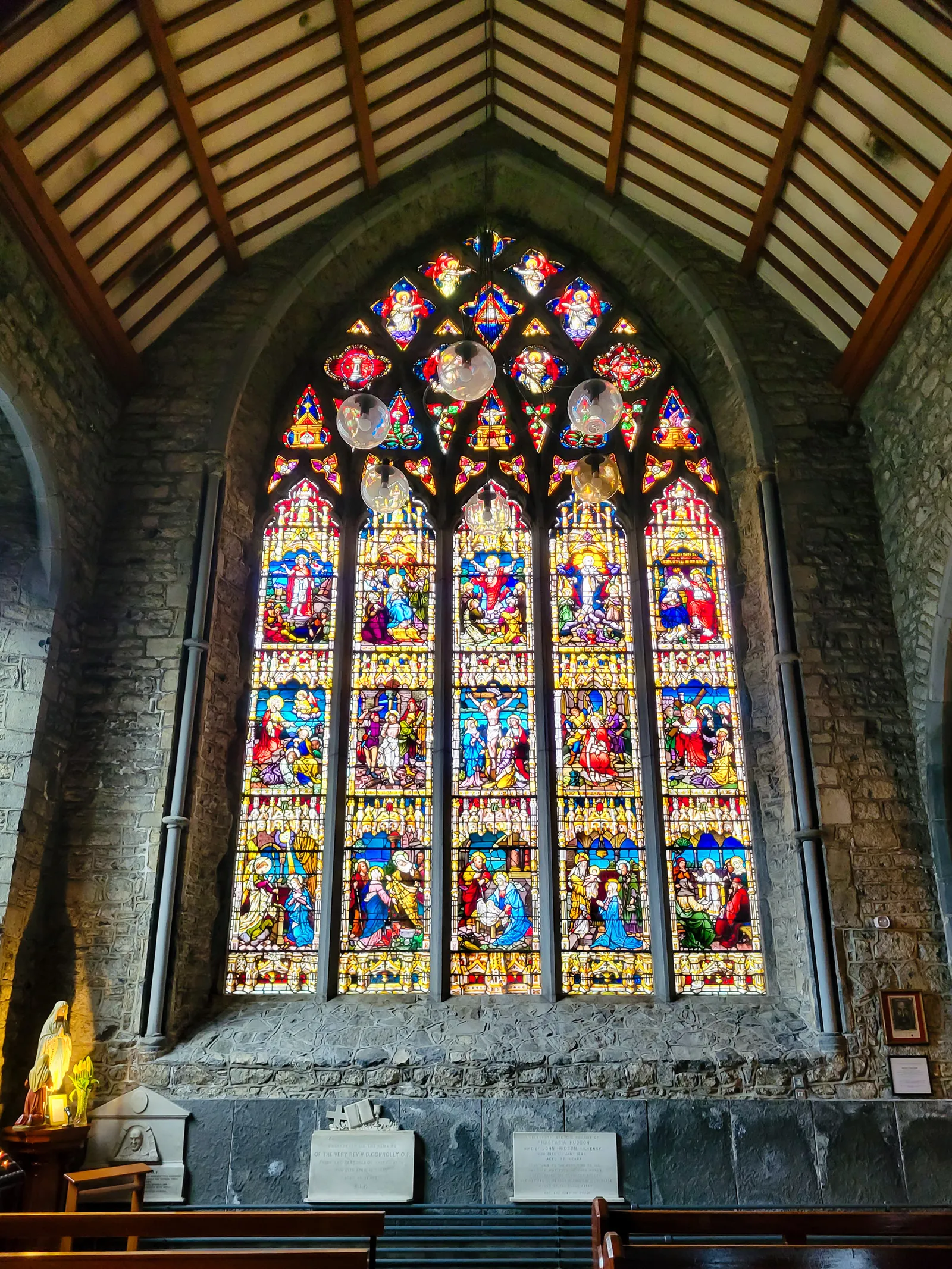
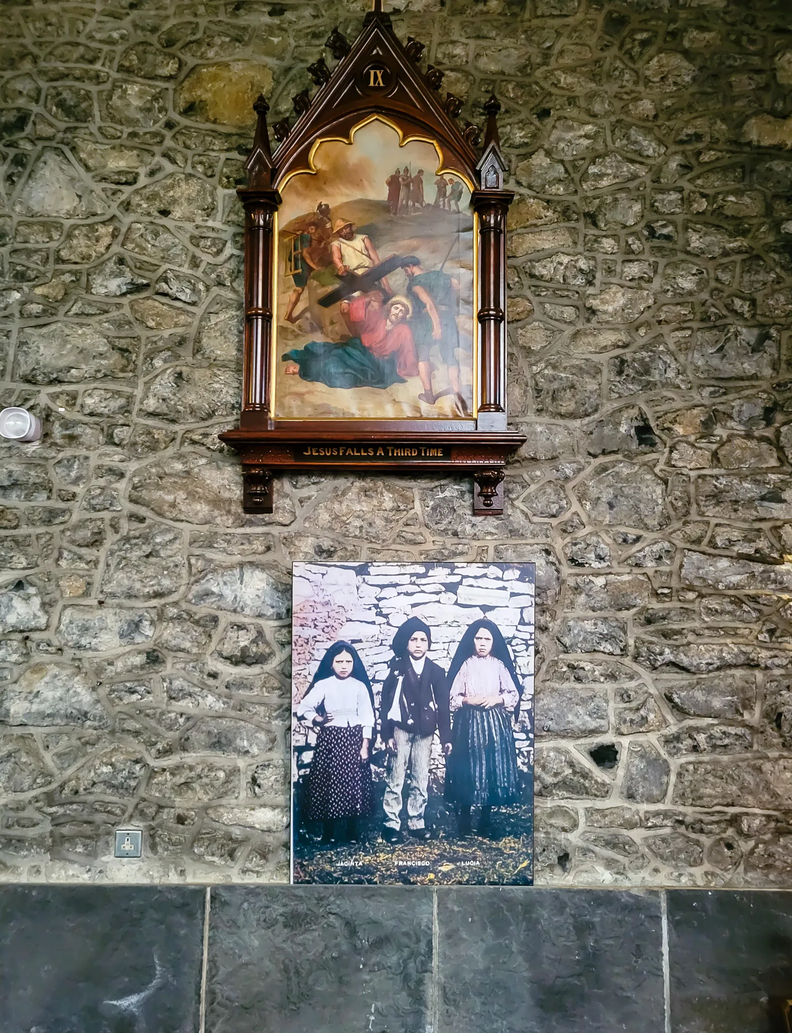
A Harbor Town Shaped by Its Defenses
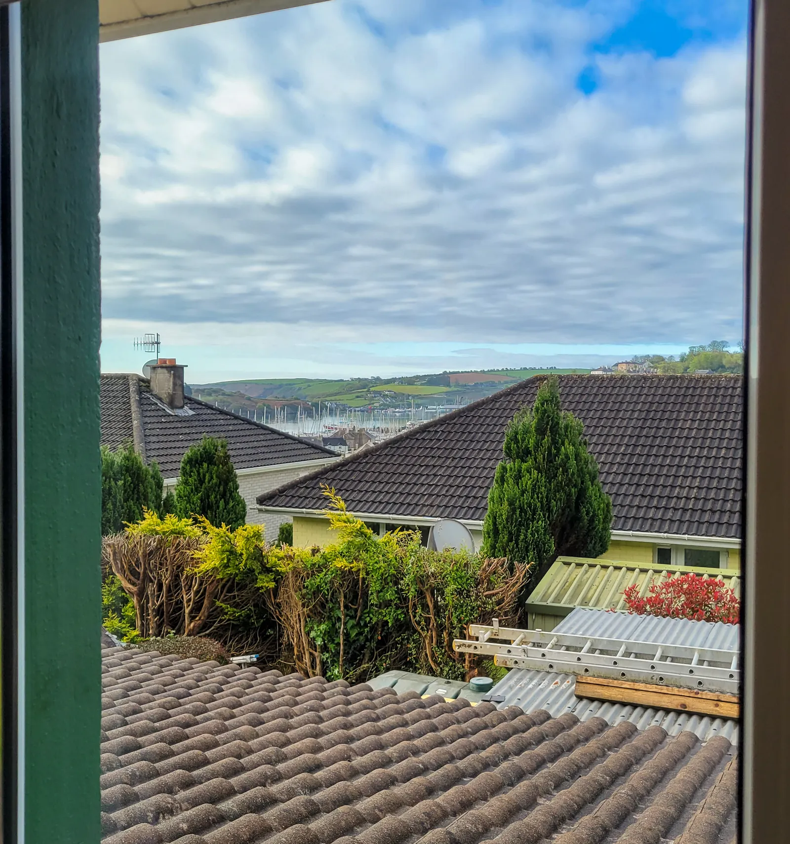
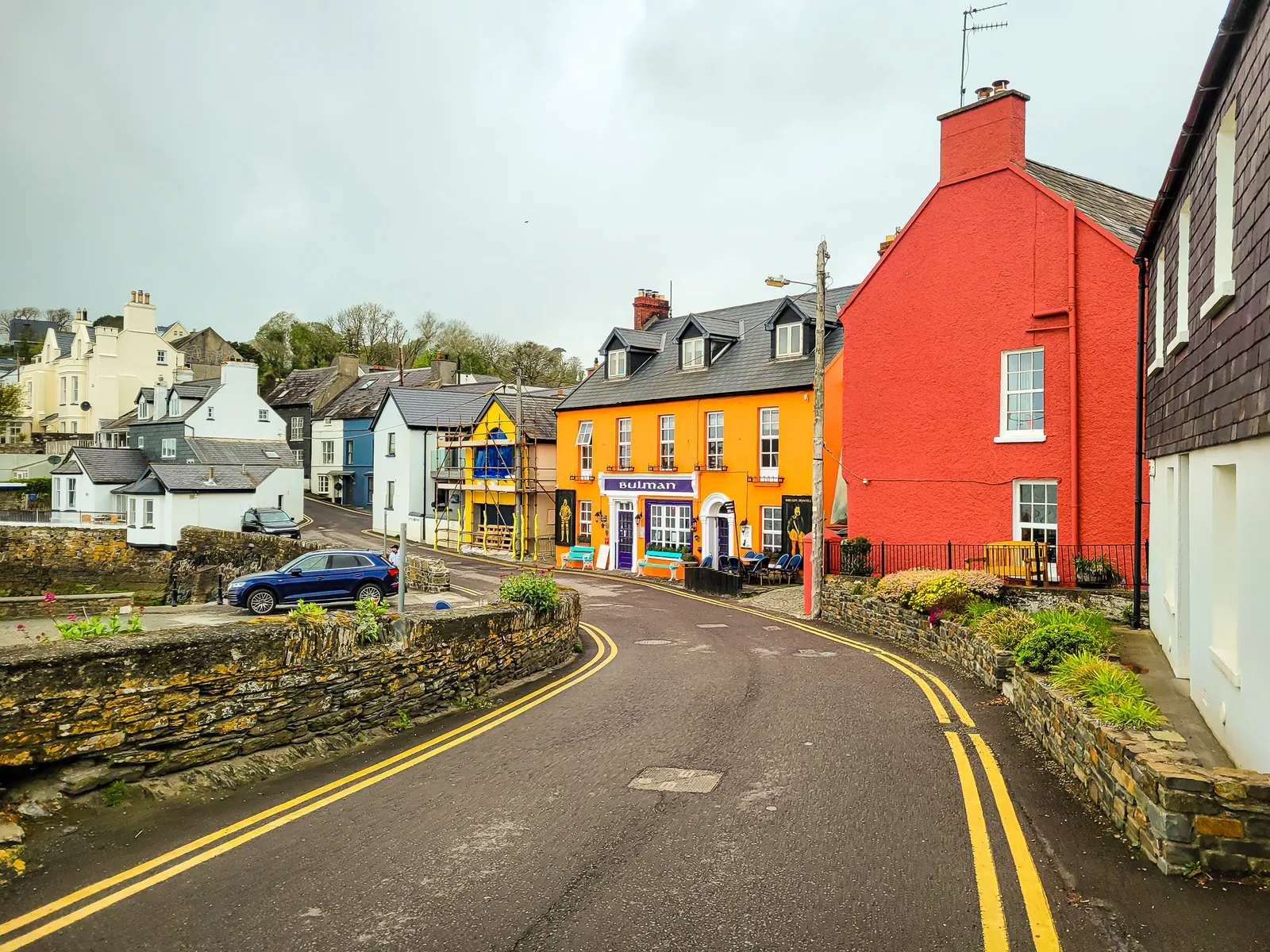
Tucked along Ireland's southern coast in County Cork, Kinsale is a vibrant harbor town known for its colorful streets, rich maritime history, and reputation as the "Gourmet Capital of Ireland." After leaving Kilkenny, we arrived to find a place that perfectly balances coastal charm with historic character. Its pastel painted buildings, bustling waterfront, and relaxed pace quickly made Kinsale one of our favorite stops and an ideal base for exploring Ireland's southern coast and the Wild Atlantic Way.
The drive took us south on the M8 before connecting to the N40, N71, and finally the R607, where rolling countryside gradually gave way to winding coastal roads. As we entered Kinsale, colorful buildings overlooked the harbor, and the town's narrow lanes, boutique shops, and lively cafés invited us to slow down and explore.
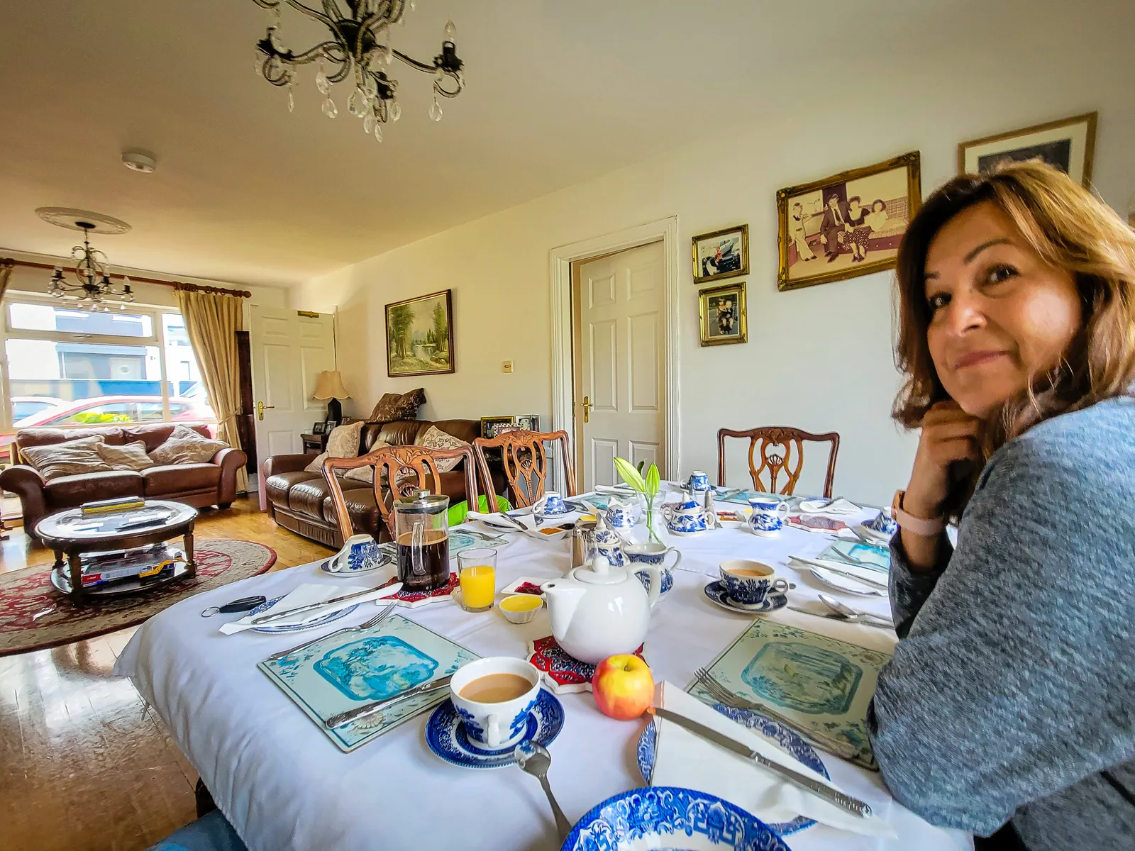
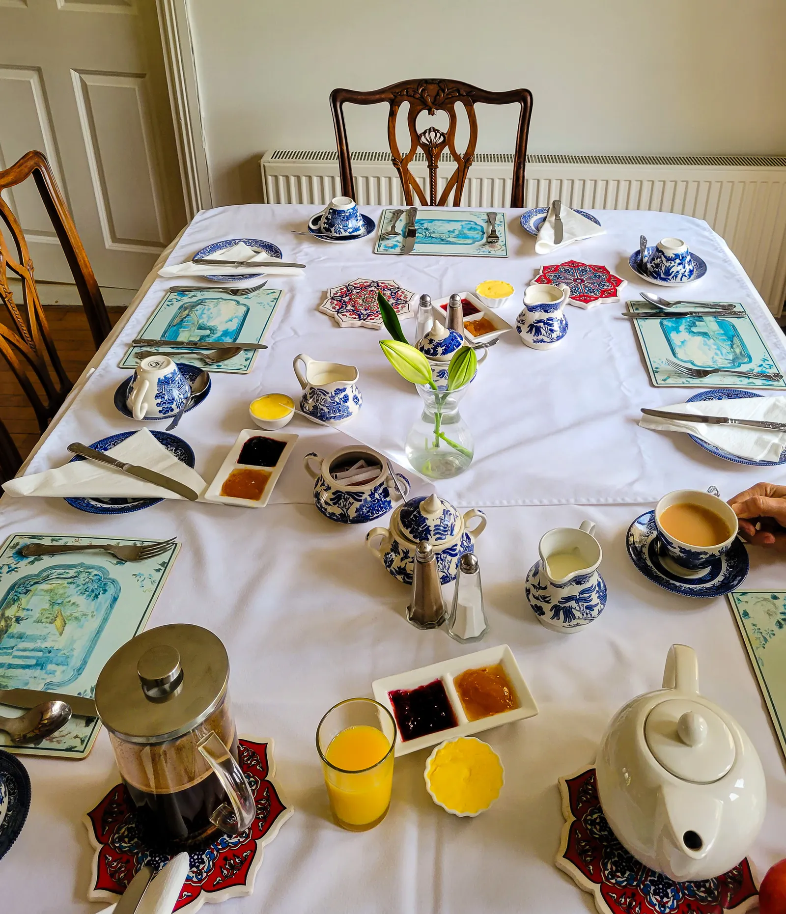
Our stay was made even more memorable by our gracious B&B host, Philomena, or "Phil," as she preferred to be called. She welcomed us like family, and each morning she prepared a beautiful breakfast table. One morning, we shared stories and laughter with a couple from Germany, a simple but memorable reminder of how travel brings strangers together and makes distant places feel like home.
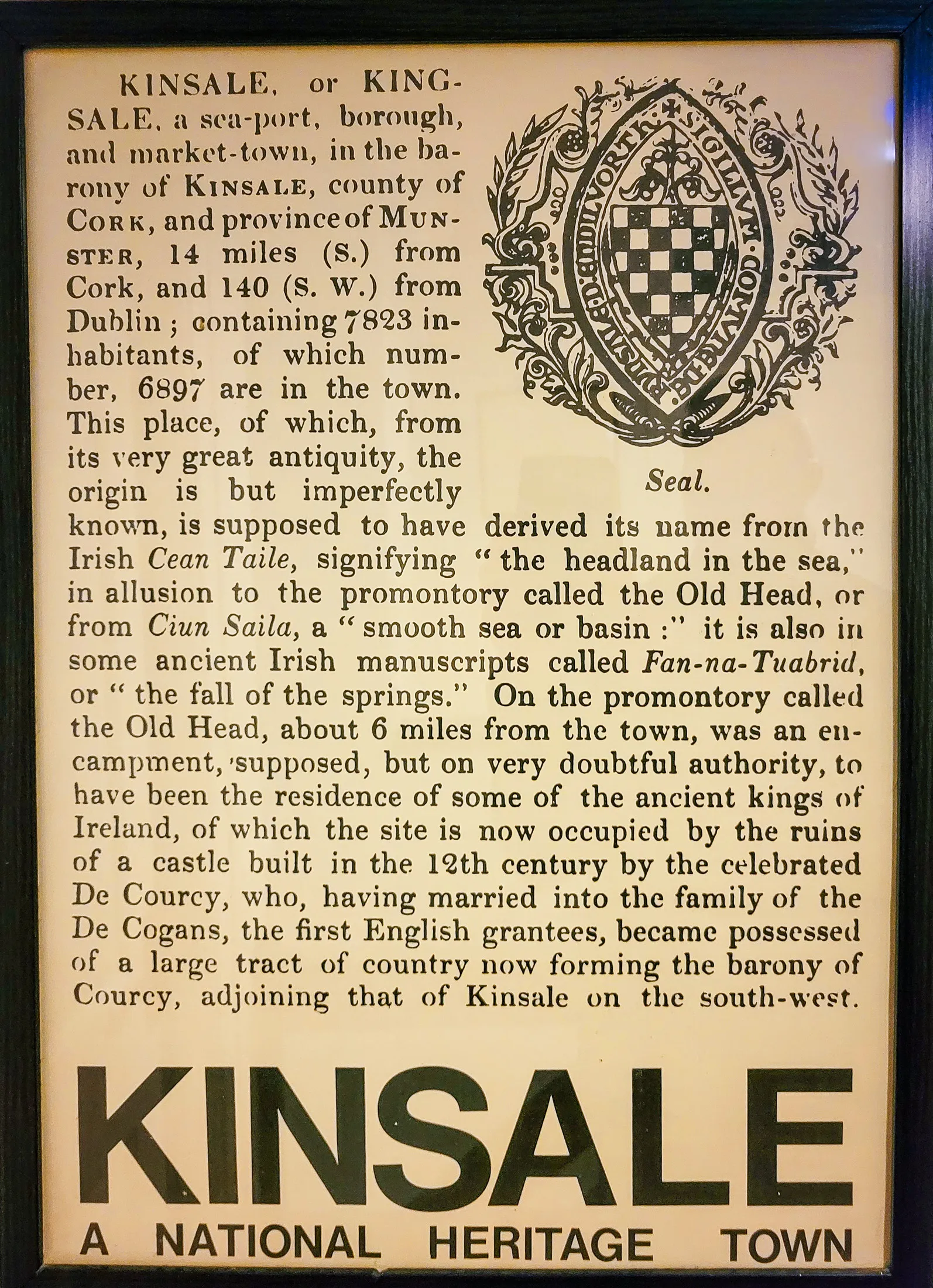
We did our city walk with Barry Moloney from Historic Stroll Kinsale, and within minutes it was clear why this tour has been rated the best walking tour in Ireland by American visitors. Barry has that perfect Irish combination of wit, storytelling, and deep knowledge that makes history come alive.
He showed us where the original medieval shoreline used to be, the water once came right up to what's now the middle of town. As we walked, Barry pointed out where medieval walls once stood and explained how Kinsale's strategic harbor shaped Ireland's destiny.
The centerpiece of his tour was the Battle of Kinsale in 1601, which Barry calls one of the most significant turning points in Irish history. With 3,500 Spanish soldiers landing here to help Irish clans fight the English, then getting trapped in town through a harsh winter siege. The Irish chiefs O'Neill and O'Donnell marched their armies 250 miles from Ulster to help, only to lose everything in a battle that lasted just an hour on Christmas Eve. "When people ask me why Northern Ireland is still part of the UK," Barry said with that Irish twinkle in his eye, "I tell them: 1601, Kinsale."
He also shared how Alexander Selkirk sailed from here before getting stranded on an island, becoming the real-life inspiration for Robinson Crusoe and told the tragic story of the Lusitania, torpedoed off Kinsale's coast in 1915. The hour-long tour with no hills felt like getting a history lesson from your favorite uncle rather than a formal guide.
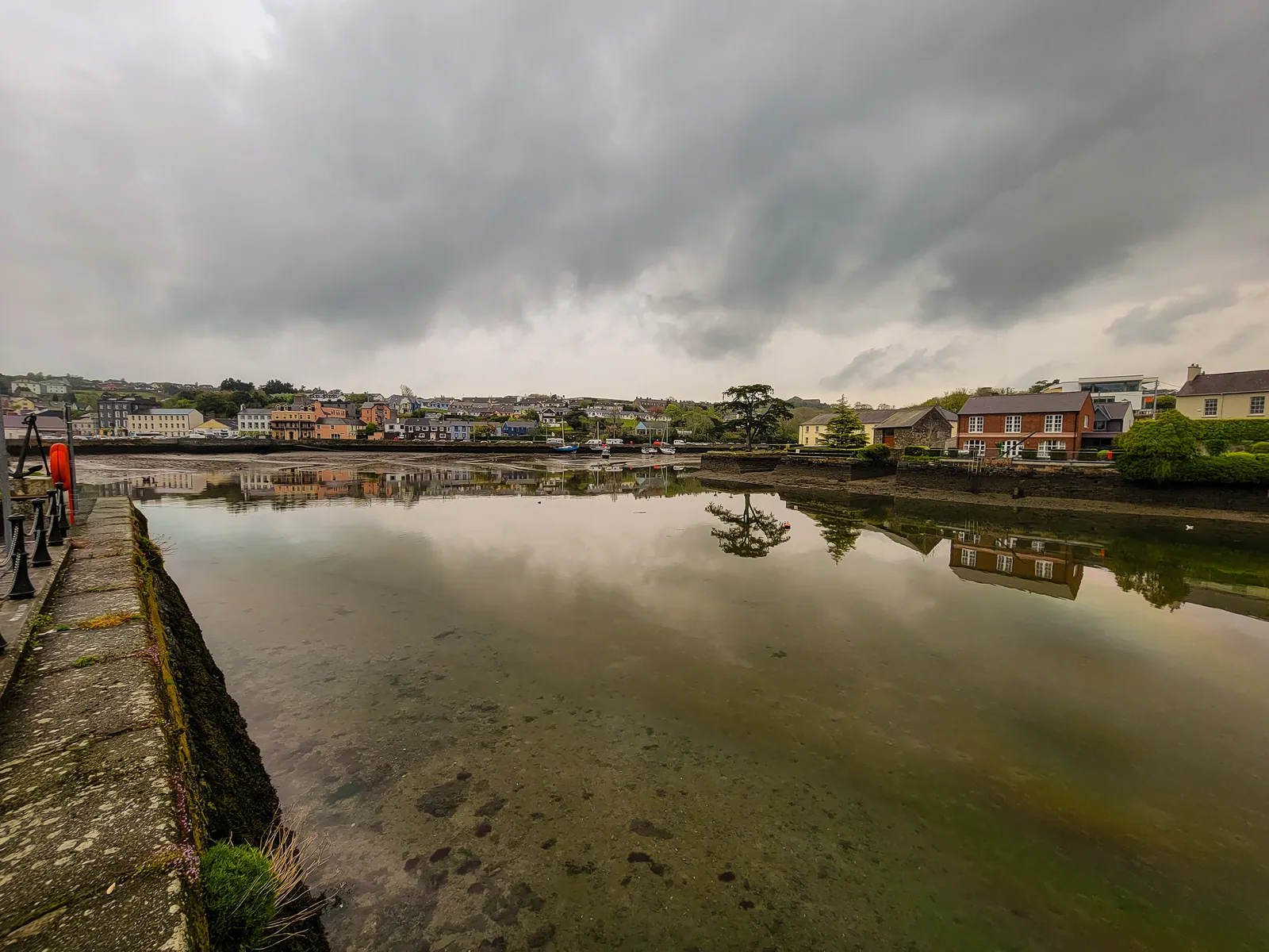
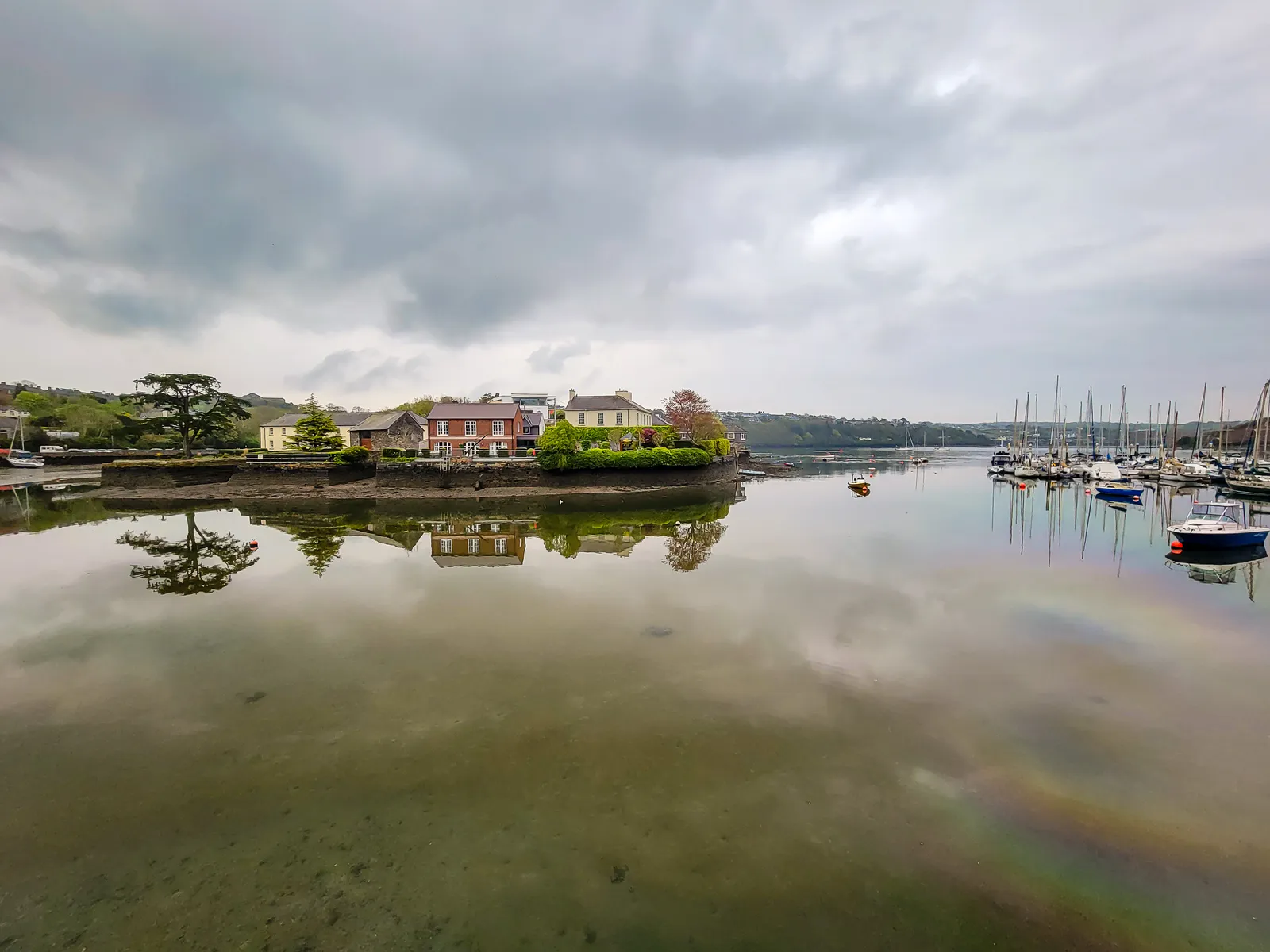
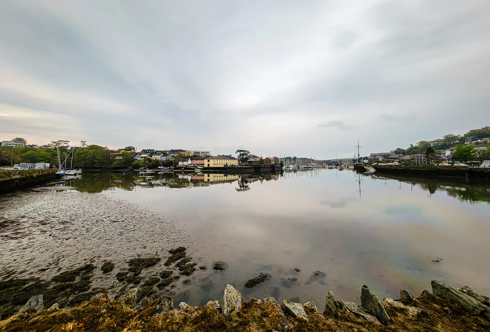
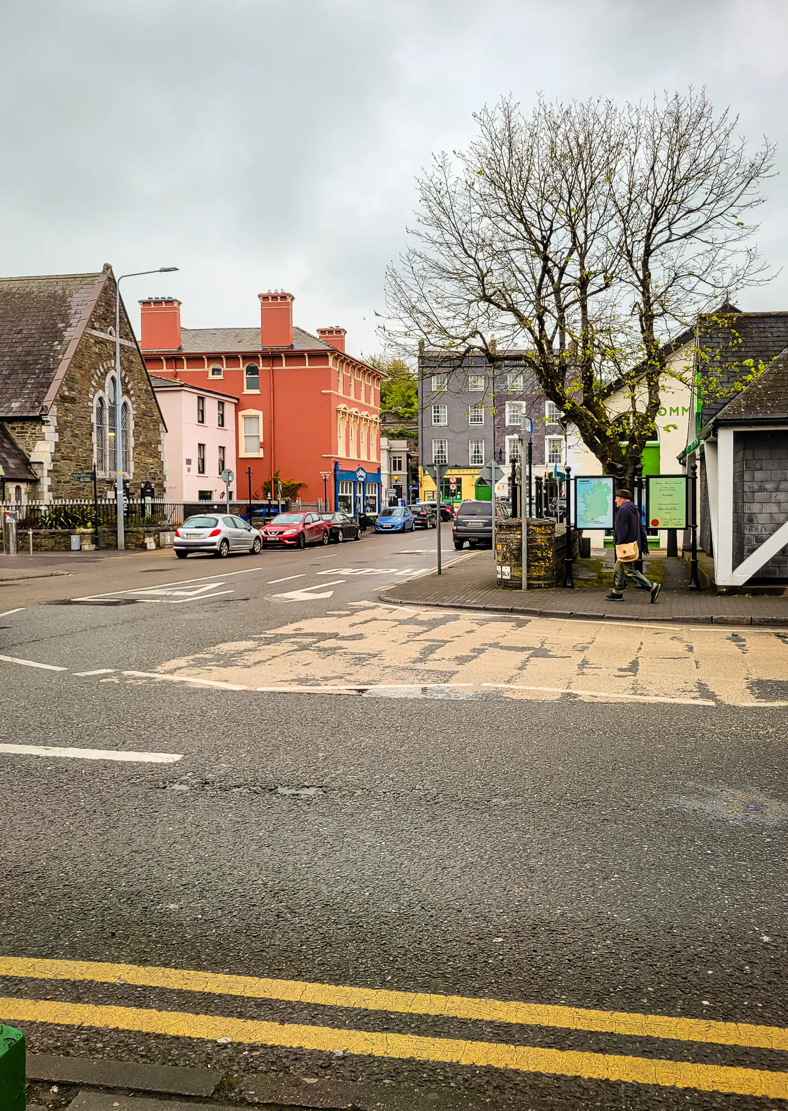
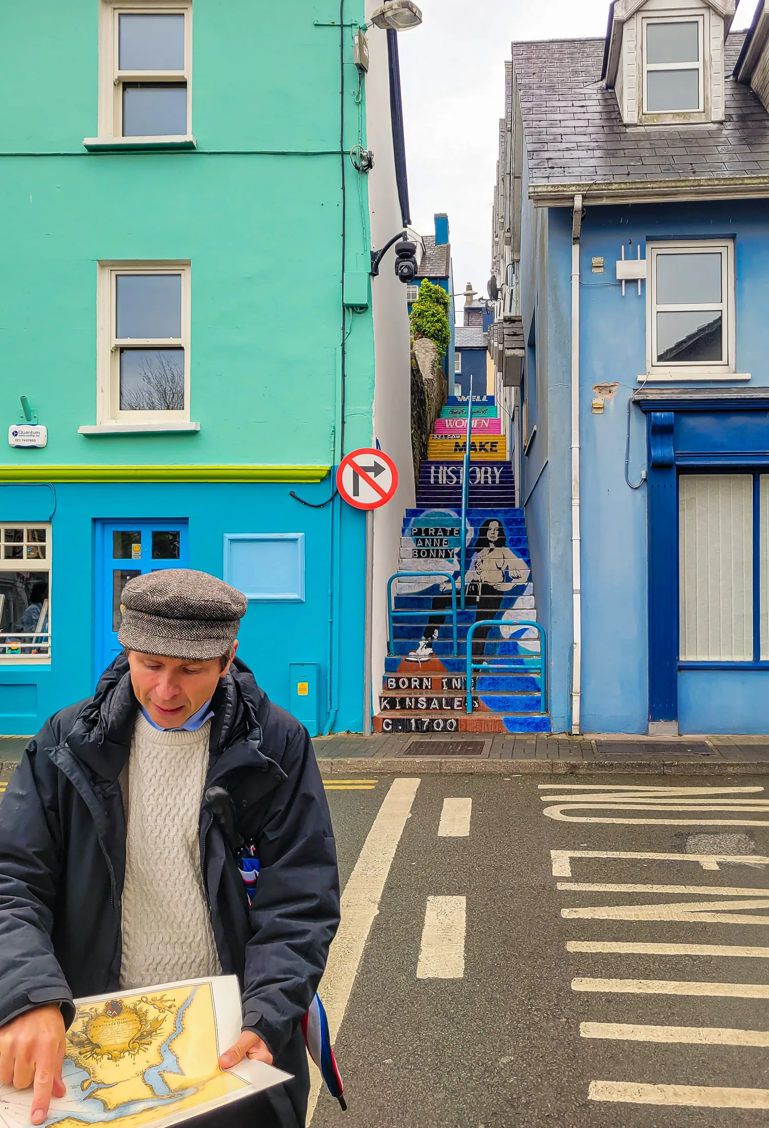
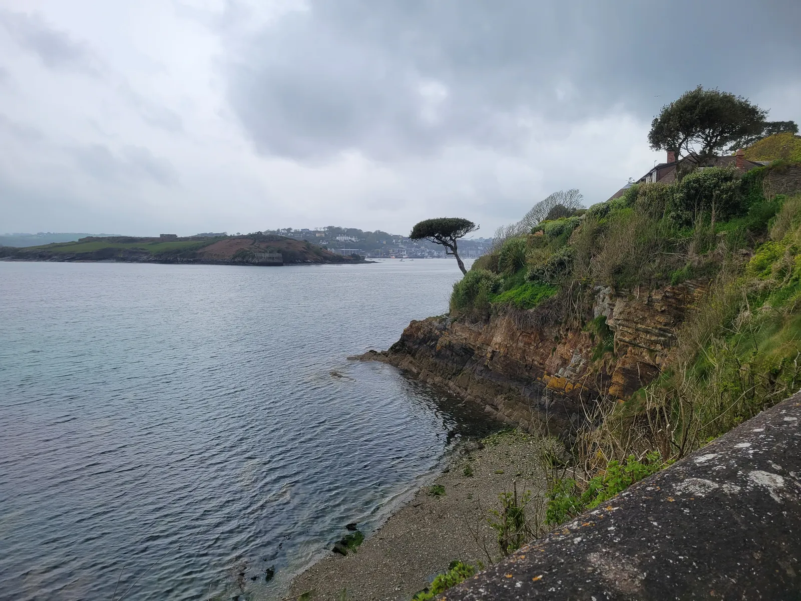
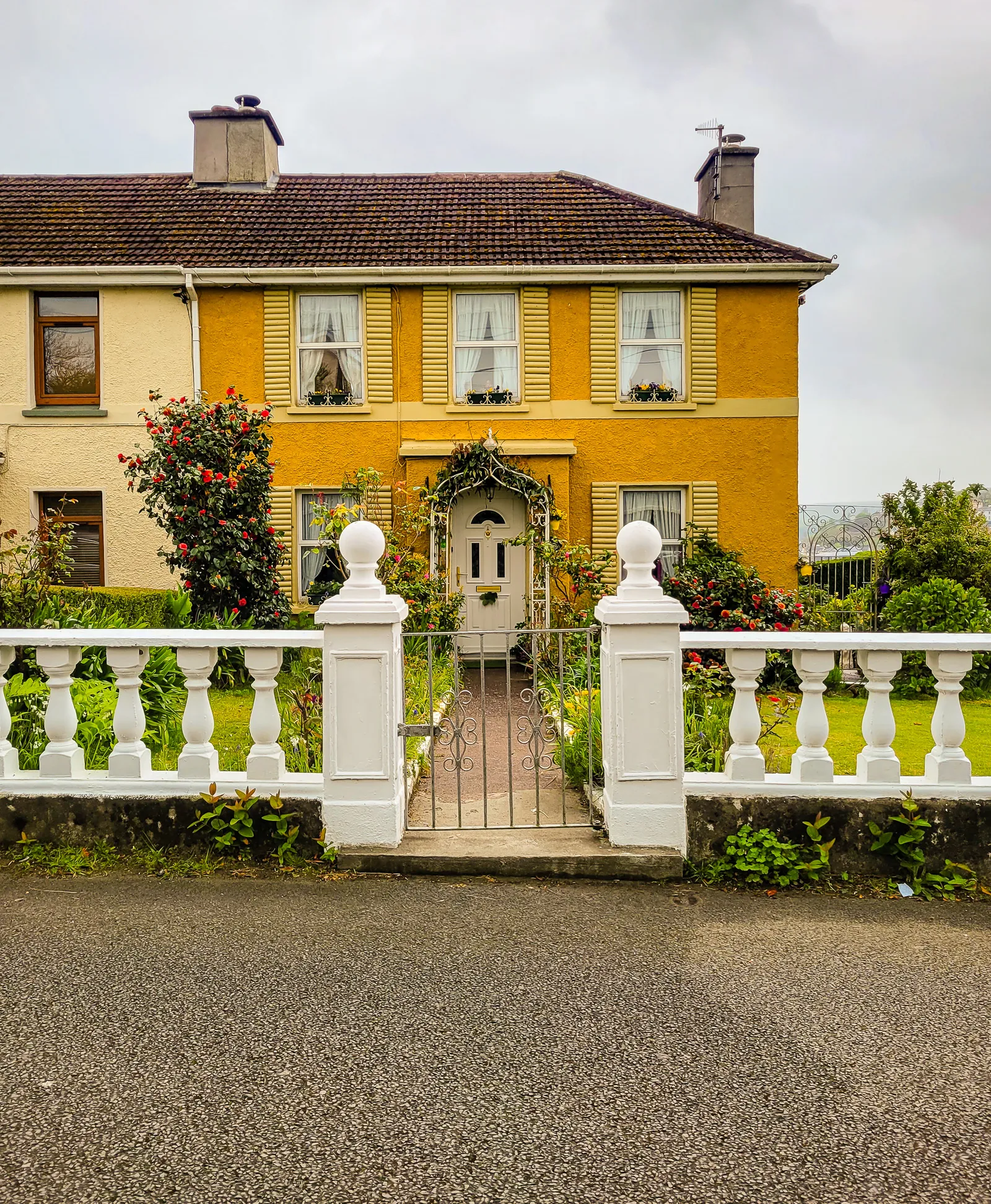
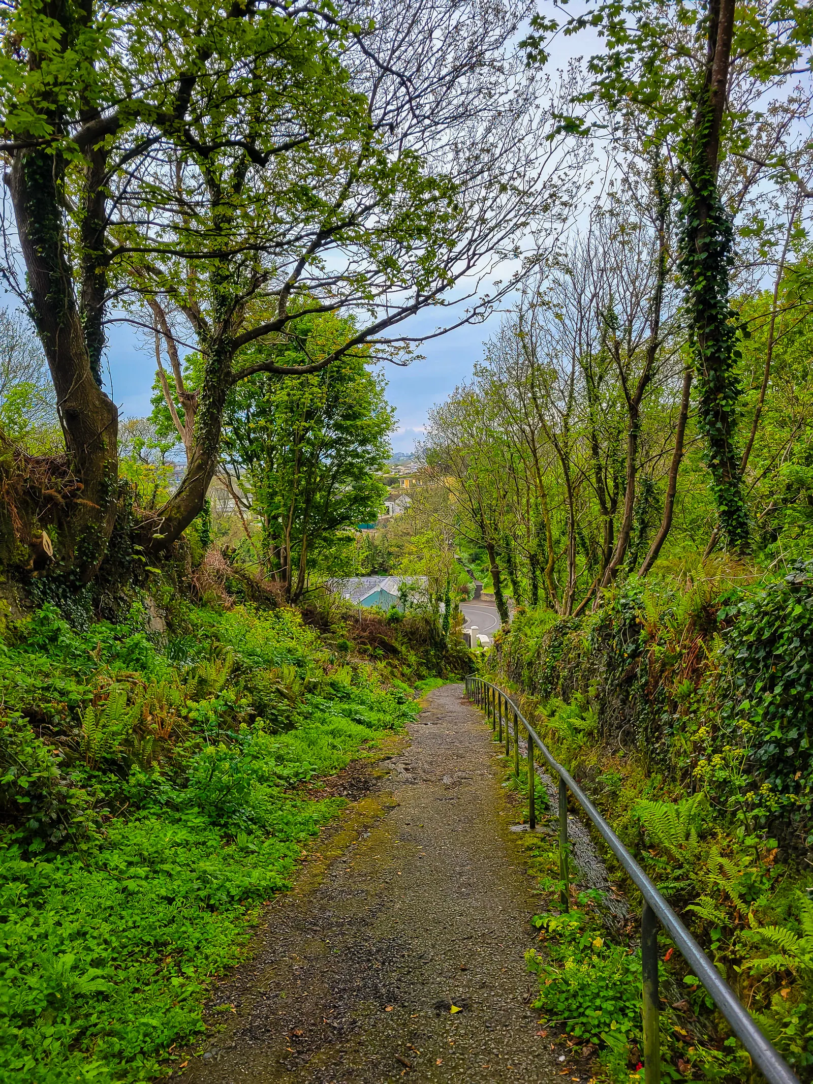
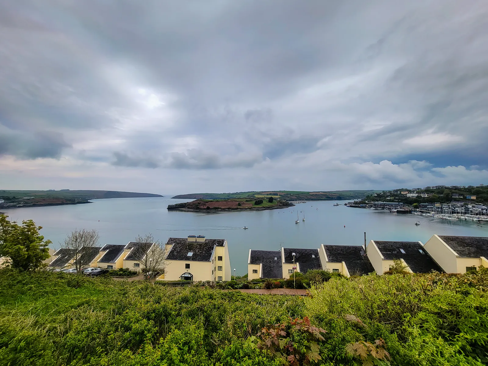
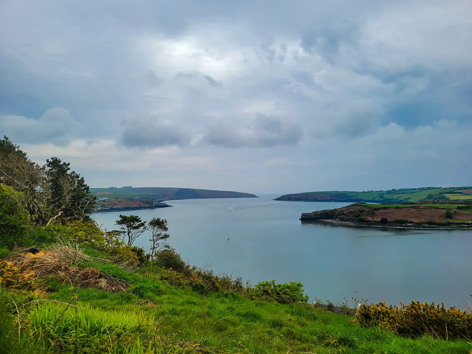
The walking tour ended in the town plaza, where we said our goodbyes before making our way to Charles Fort. The 15 minute waterfront walk passes elegant homes with stunning harbor views, making the journey almost as enjoyable as the destination.
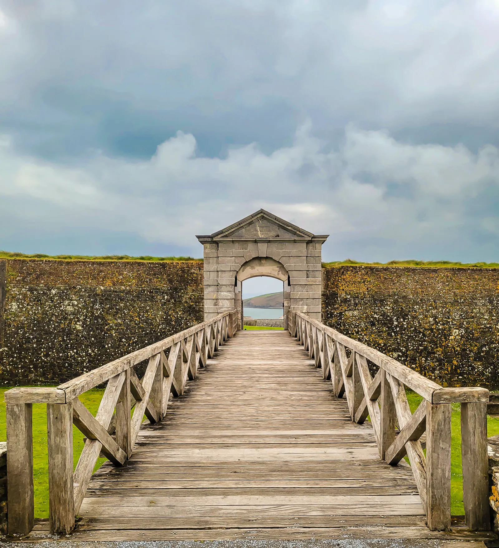
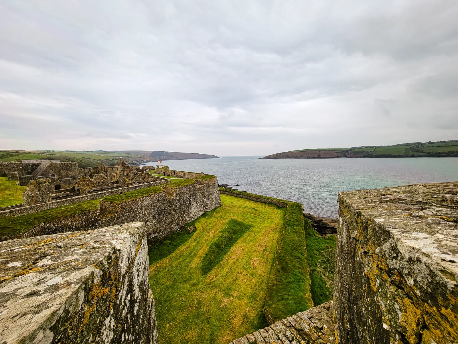
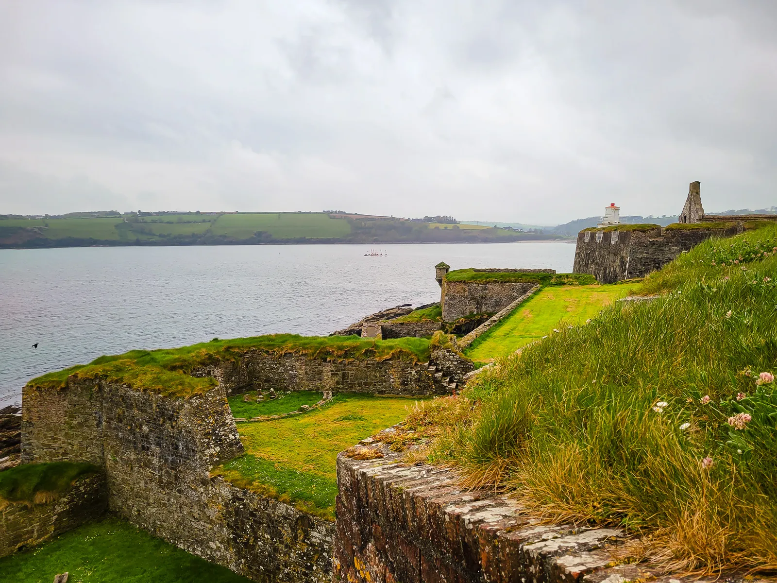
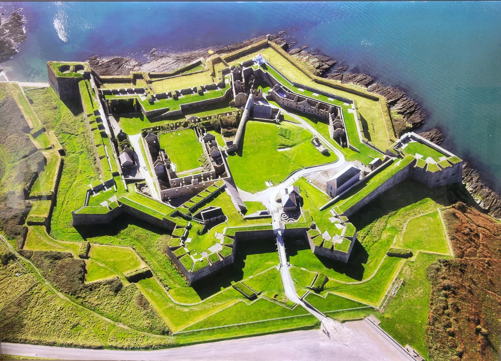
Built between 1677 and 1682, Charles Fort is a massive star shaped fortress constructed to defend Kinsale Harbor after the Spanish revealed how vulnerable it was. It remains one of Europe's best preserved 17th century star forts, with pointed bastions designed to eliminate the blind spots attackers could exploit.
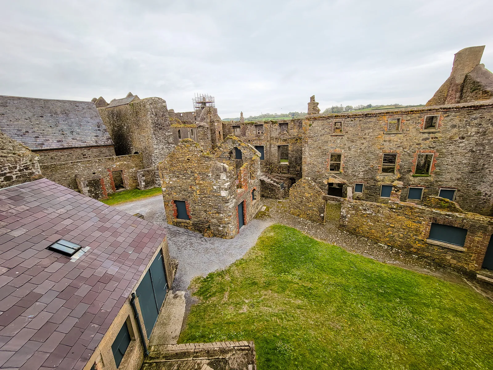
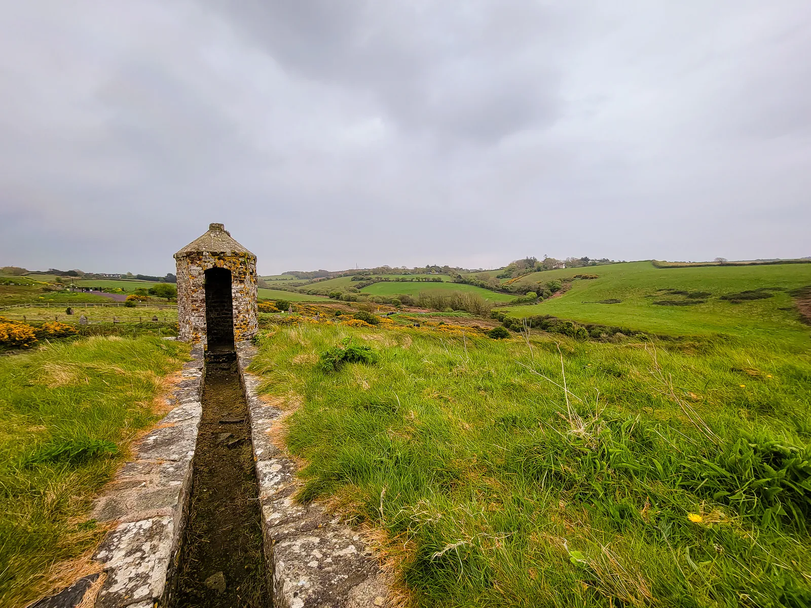
Walking through the entrance gate feels like stepping back in time. Covering about 12 acres, the fort once housed more than 400 soldiers and their families. Many of the buildings are now roofless, but enough remains to imagine daily life within the garrison. The views from the ramparts stretch across the harbor to James Fort and out to the Celtic Sea. Ironically, the fort's greatest weakness was the higher ground behind it, which allowed it to fall after a 13 day siege in 1690.
No Irish fort would be complete without a ghost story, and Charles Fort has one of the country's most famous. According to legend, the commander's daughter married a young officer who was accidentally shot on their wedding night. Devastated, she threw herself from the ramparts. Over the centuries, soldiers claimed to see the White Lady wandering the fort in her wedding dress, while others reported being pushed down stairways by unseen hands. We didn't encounter any ghosts, but some of the darker passageways certainly have an eerie atmosphere.
Charles Fort remained a British garrison until 1922, when it was burned during the Irish Civil War. Today, it is a restored National Monument, and the €5 admission is well worth it. Plan on spending at least an hour exploring, and wear comfortable shoes since the uneven ground and steep rampart stairs can be challenging.
- Location: Summer Cove, Kinsale, County Cork (1.5 miles/3 km from Kinsale town center)
- Getting There: 5-minute drive from Kinsale or 30-40 minute scenic walk via the Scilly Walk
- Parking: Free roadside parking available (informal but adequate)
- Duration: 1.5–2 hours
- Walking Difficulty: Moderate; uneven terrain, steep stairs on ramparts
- Opening Hours: Mid-March to October: Daily 10:00am – 6:00pm; November to Mid-March: Daily 10:00am – 5:00pm
- Last admission 45 minutes before closing
Kinsale is incredibly walkable, and exploring on foot is the best way to appreciate its charm. We strolled along the waterfront, wandered through Market Street and Main Street, and stopped into local shops around every corner. These streets are lined with many restaurants, cafés, and pubs, making it easy to find great food as you explore. The town has a creative, artistic feel with murals, galleries, and colorful facades that make every street seem designed for a postcard.
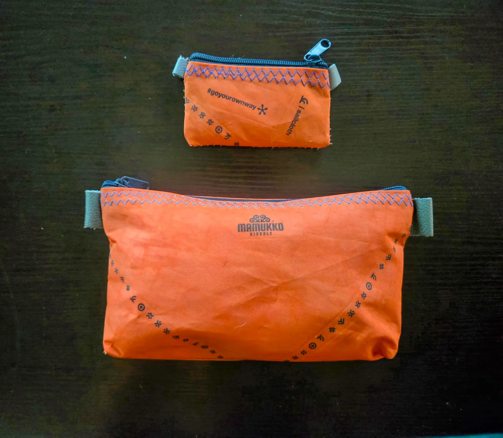
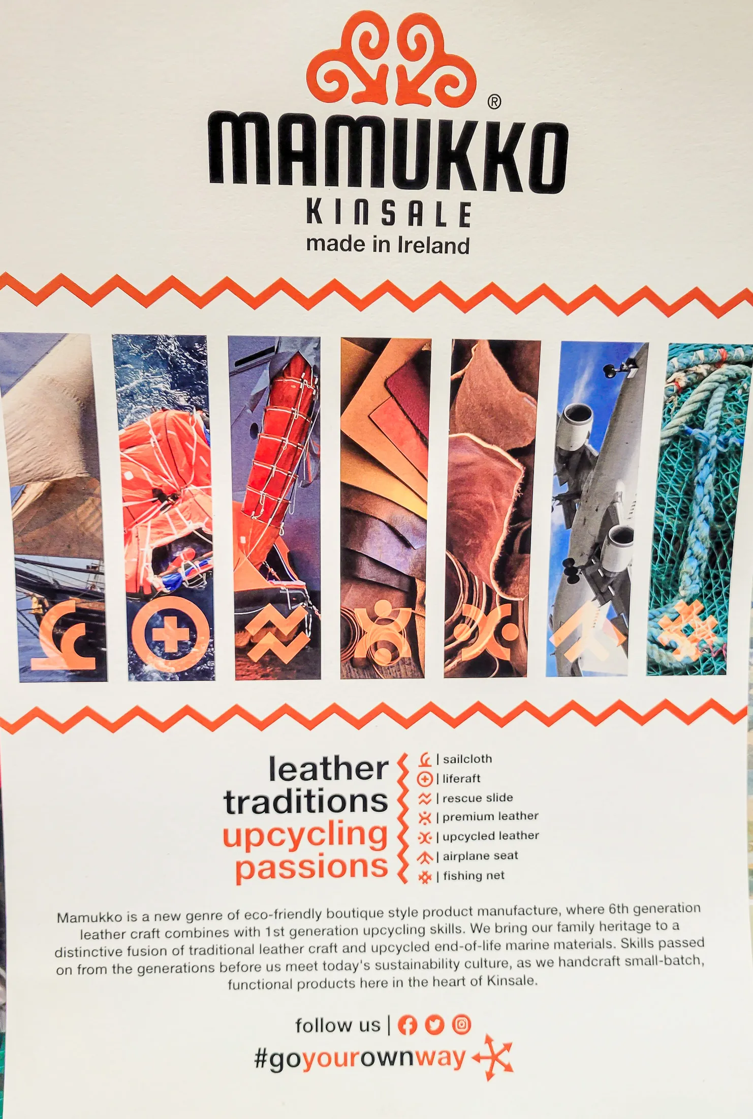
One of my favorite finds was at Mamukko, a workshop of artistry and imagination, where I discovered a travel bag and coin holder unlike any I've owned, both crafted from reclaimed sails. The town is full of these unexpected treasures in its boutique shops.
Make restaurant reservations in advance, this was our biggest challenge, as the popular spots fill up quickly, especially during summer evenings. Give yourself plenty of time to enjoy Kinsale; it has endless Irish coastal charm.
A Bronze Age Circle of solstice alignment
Saying slán to Phil was bittersweet, as she was such a gentle soul and brought us joy every morning during our breakfast encounters. But alas, we navigated towards our ultimate destination, Dingle. With some stops planned along the way, we drove towards Killarney and a quick stop at Drombeg Stone Circle.
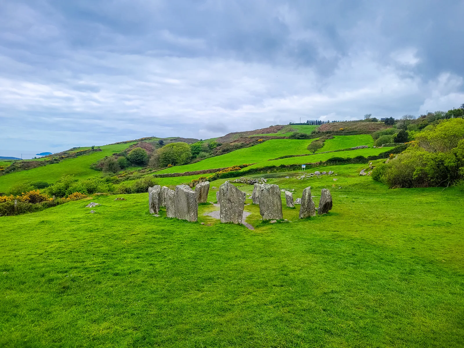
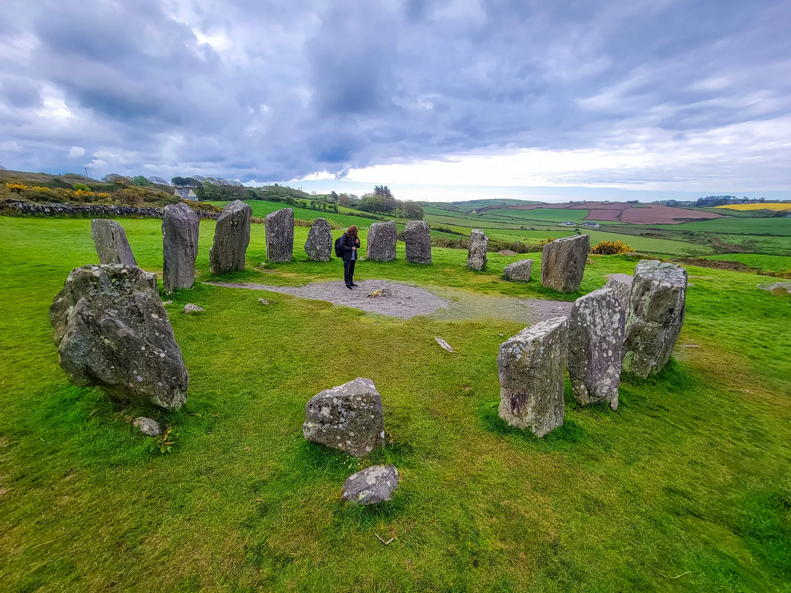
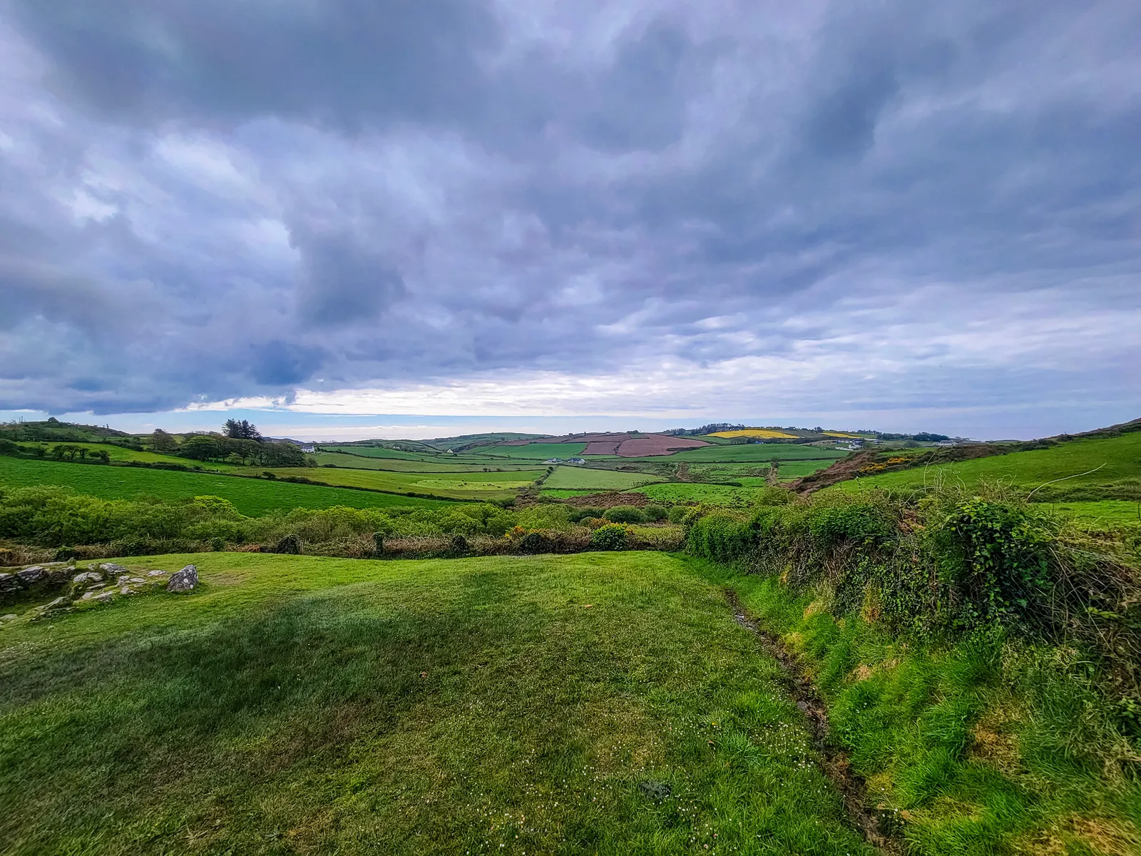
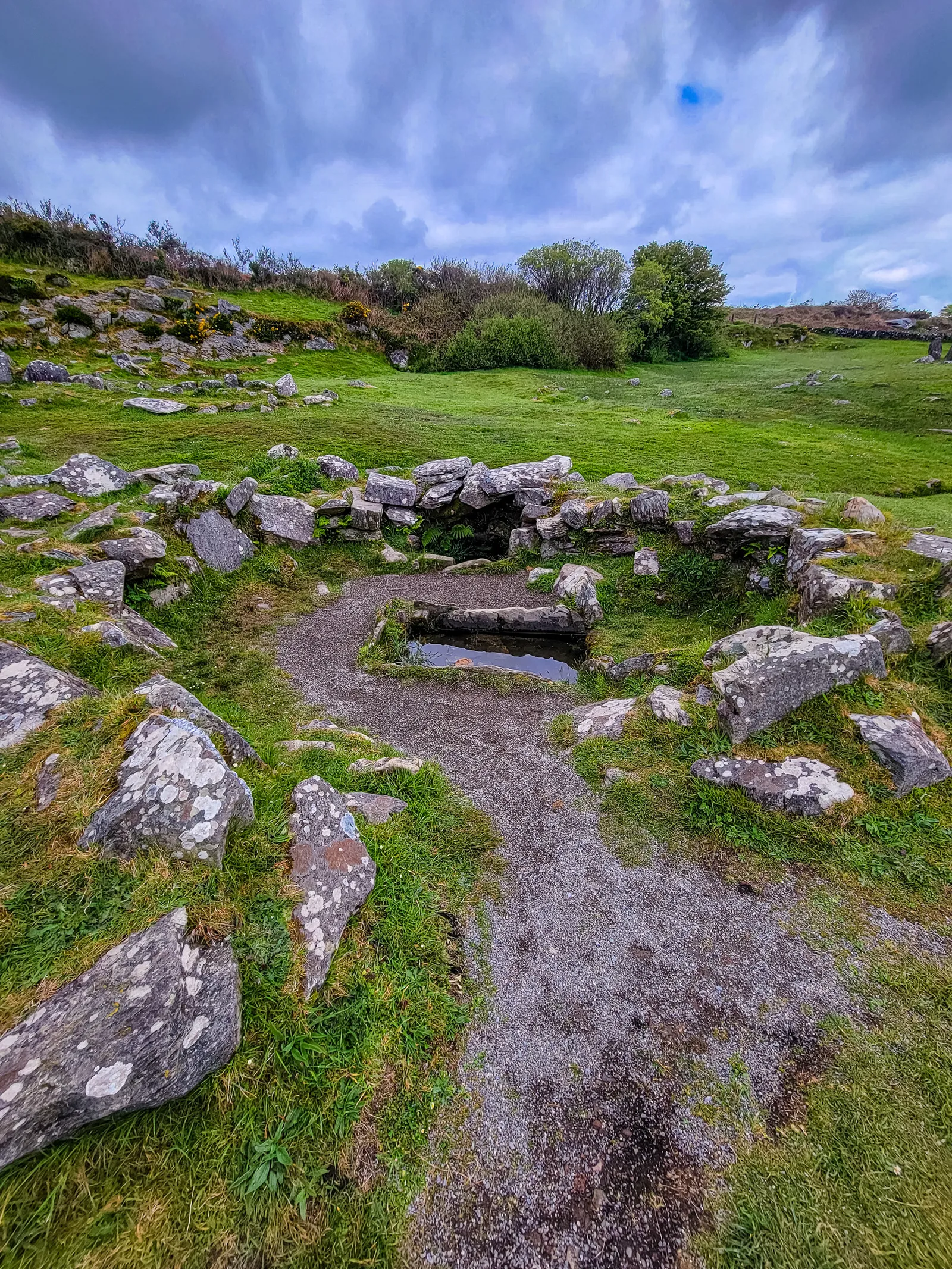
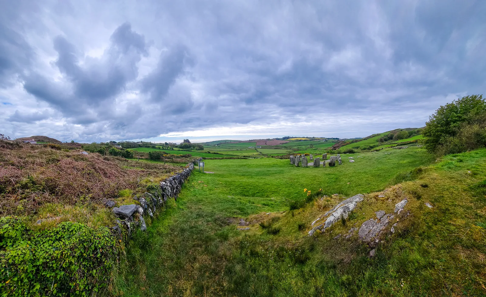
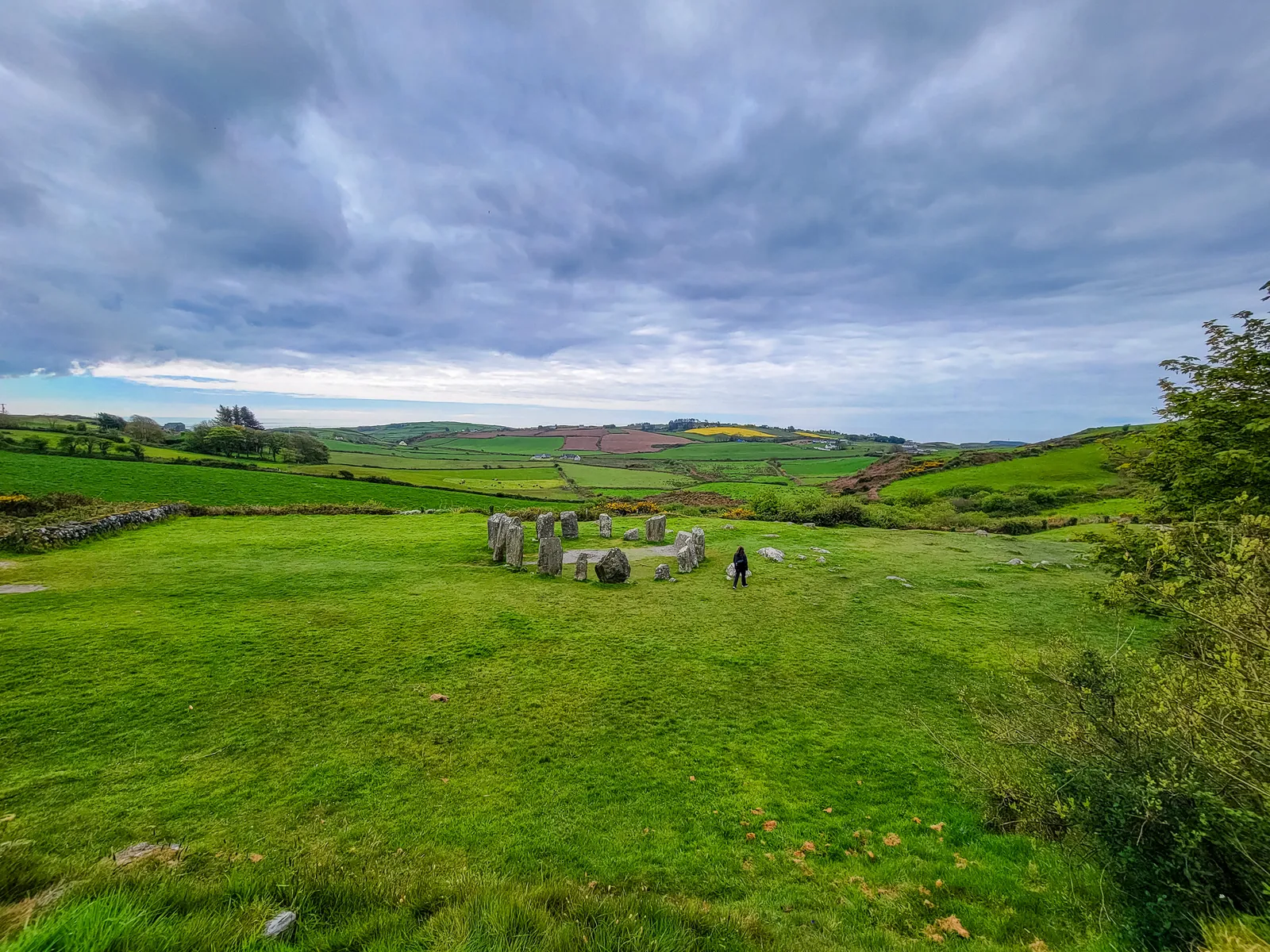
Tucked into the countryside near Glandore, Drombeg Stone Circle (often called "The Druid's Altar") is one of the best preserved stone circles in Ireland. Dating back to the Bronze Age, the circle consists of 17 stones aligned with the setting sun on the winter solstice. Excavations have uncovered an urn burial at its center, dating back to 153 BC to 127 AD. In 1957 and 1958, further excavations unveiled cremated bones within a deliberately broken pot, cloth-wrapped, and buried near the circle's center.
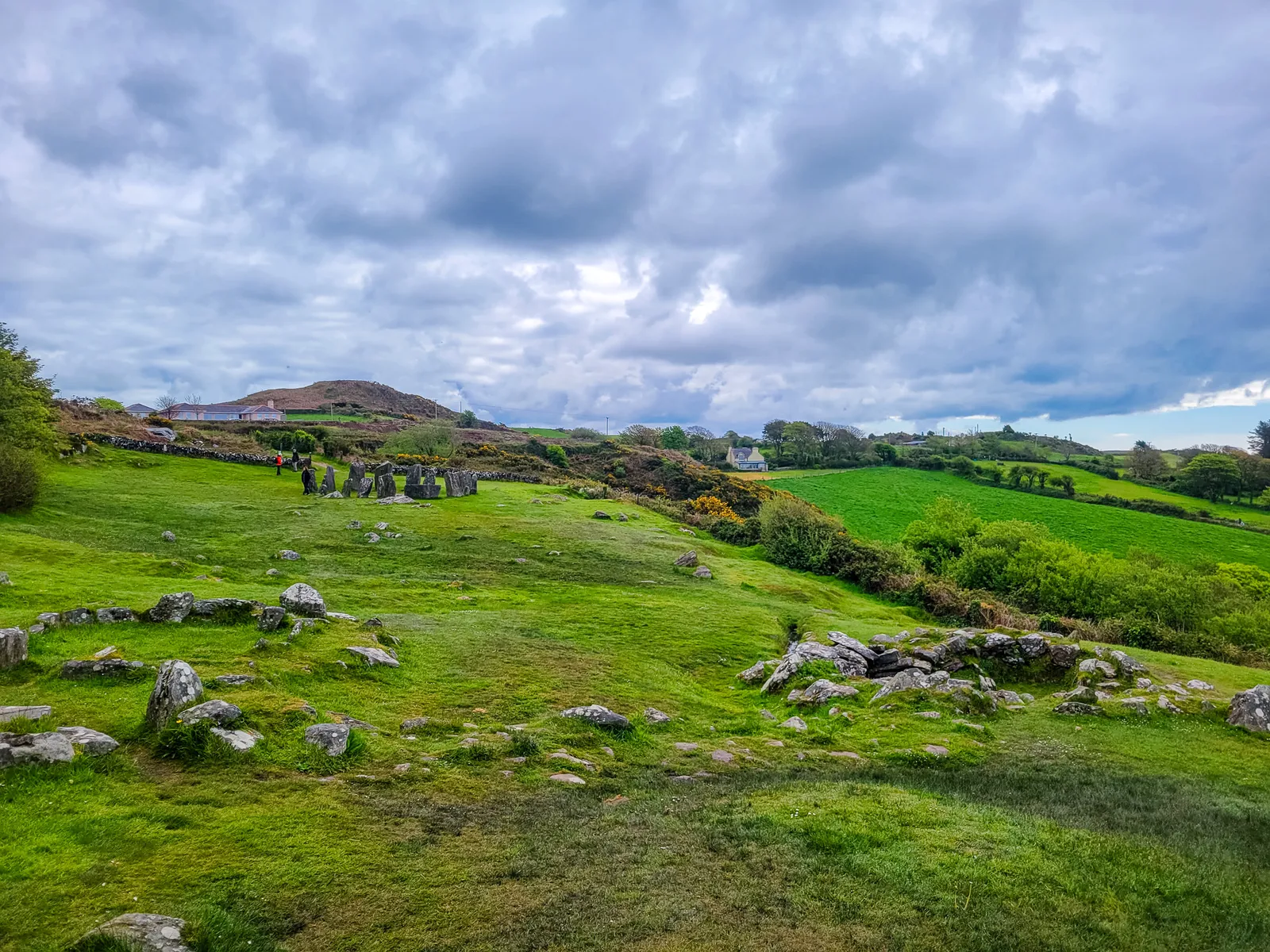
We parked at the small lot and followed the short path to the site. The moment you step into the clearing, the landscape opens up into sweeping views of the surrounding hills. It's peaceful, quiet, and surprisingly moving. Even without crowds, the place carries a sense of mystery that's hard to describe.
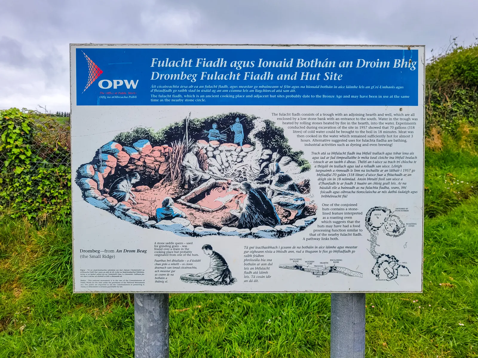
We spent time walking around the stones, reading the interpretive signs, and taking in the scenery. It's a quick stop, but absolutely worth the detour.
Estate Gardens, Yew Woodlands, & the Lakes of Killarney
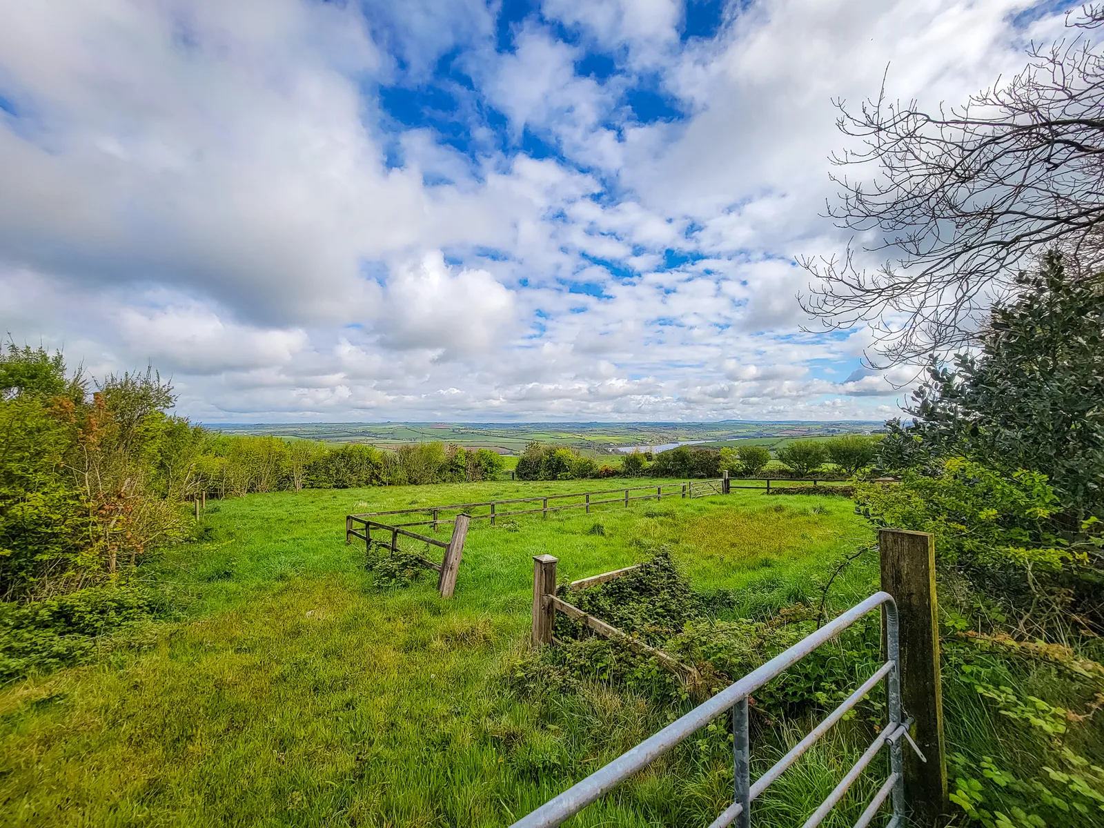
Leaving Drombeg behind, the road began to shift as the coastline faded and the land rose toward Killarney. The drive itself became part of the experience, narrow country lanes winding past stone-fenced fields dotted with grazing sheep, postcard-worthy villages, and the occasional ocean view still lingering in the distance. By the time we arrived, it felt like we had entered a different Ireland altogether, one that was greener, wilder, and full of promise.
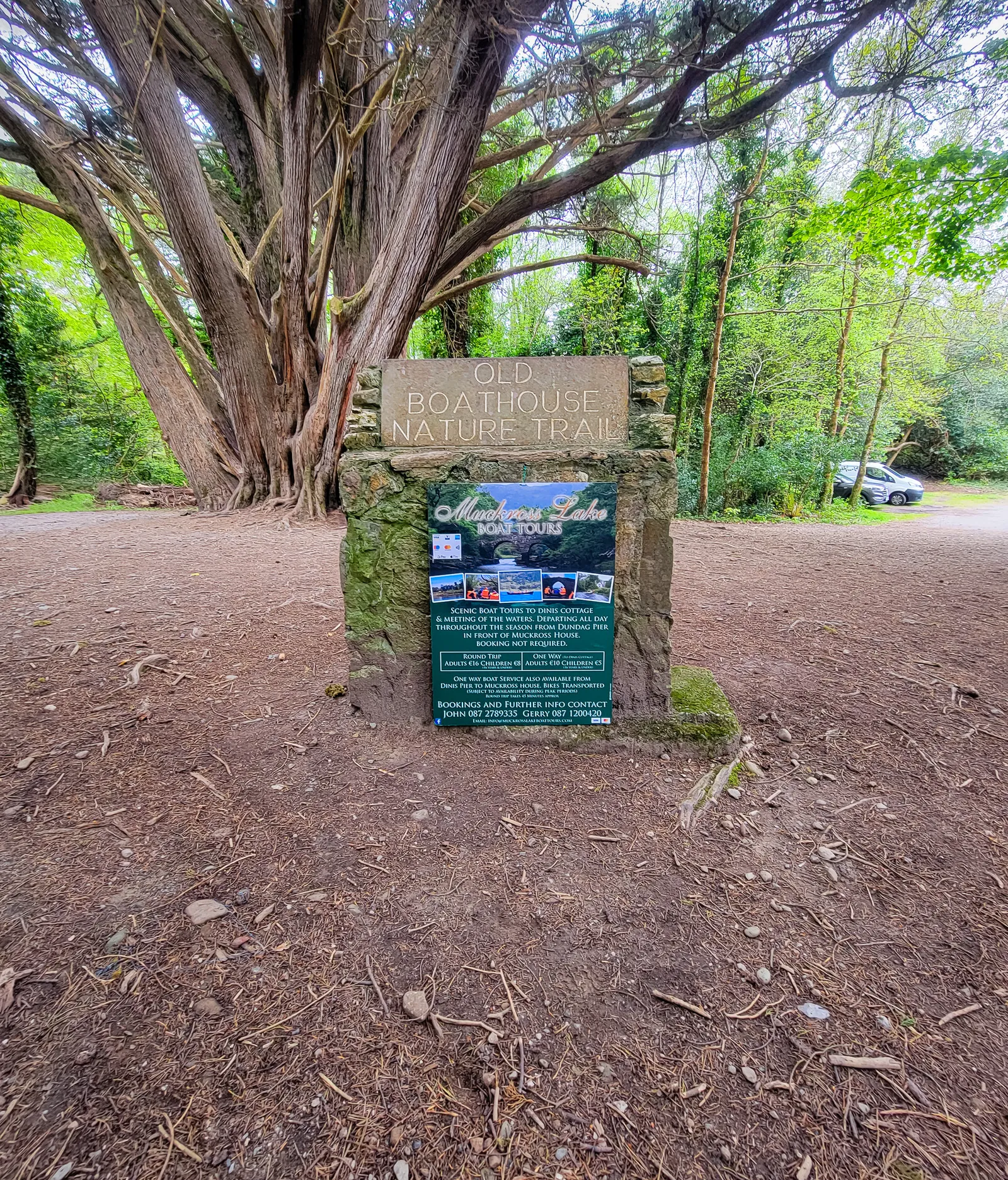
That feeling carried straight into Killarney National Park where lakes, mountains, and woodlands unfold around the historic Muckross House at its entrance. Established in 1932 as Ireland's first national park, the area spans more than 26,000 acres and protects a remarkable landscape of rugged peaks, shimmering water, dense forests, and cascading waterfalls. Recognized as part of a UNESCO Biosphere Reserve, the area is home to rare ecosystems and Ireland's only remaining native red deer herd.
At the heart of it all, both geographically and historically, is Muckross House, anchoring the park at its entrance and setting the stage for the stories, history, and experiences that unfold from there.
Built in 1843 for Henry Arthur Herbert and his wife Mary Balfour Herbert, the Tudor-style mansion was meant to display wealth and status, a pursuit that peaked with lavish renovations for Queen Victoria's 1861 visit and ultimately led to financial ruin. After changing hands, the estate was donated to the Irish nation in 1932, becoming Ireland's first national park.
We didn't make it inside the house, but the grounds alone were worth the stop.
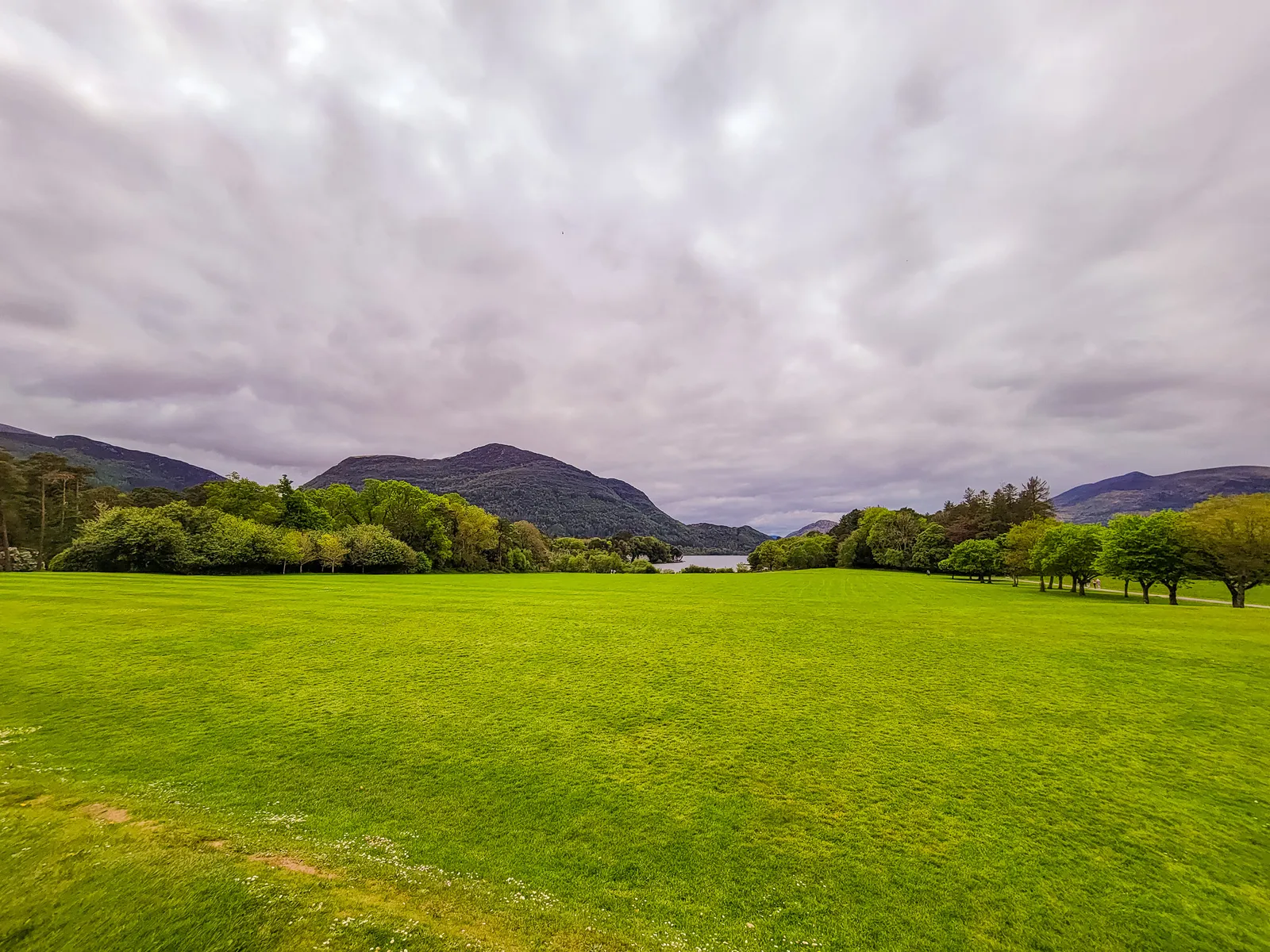
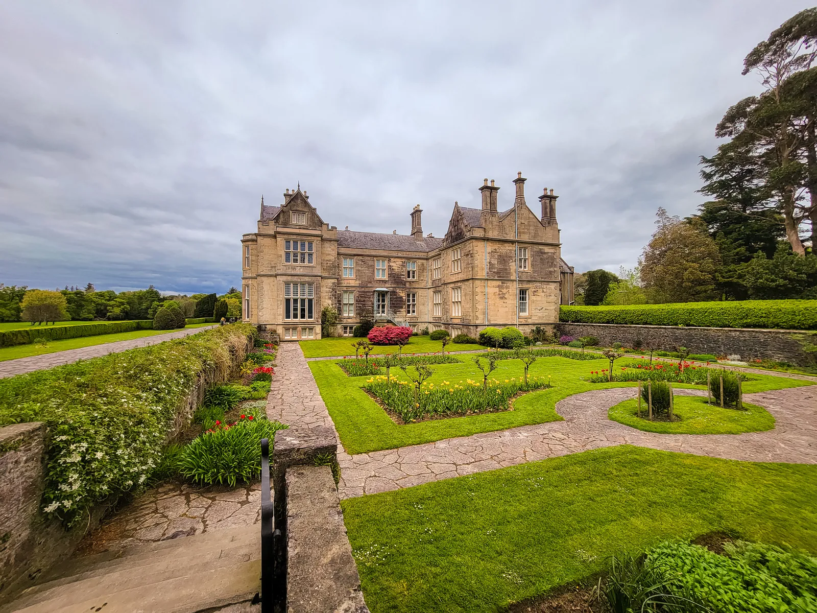
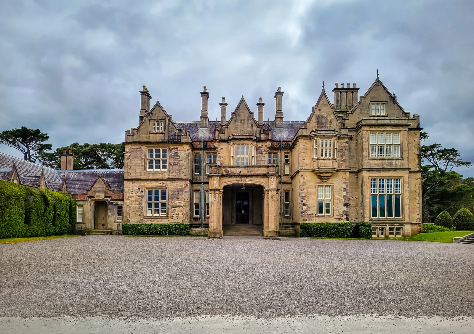
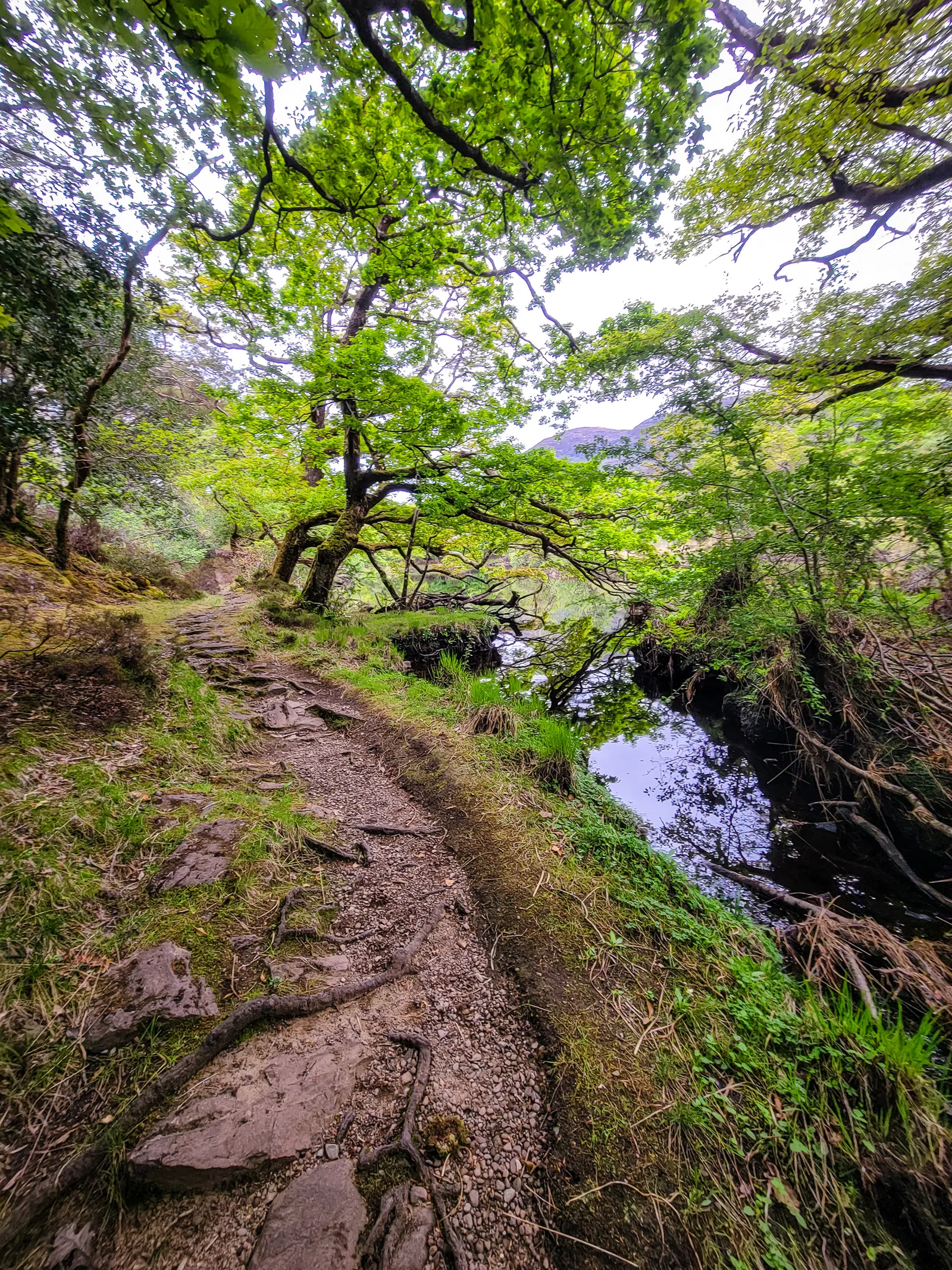
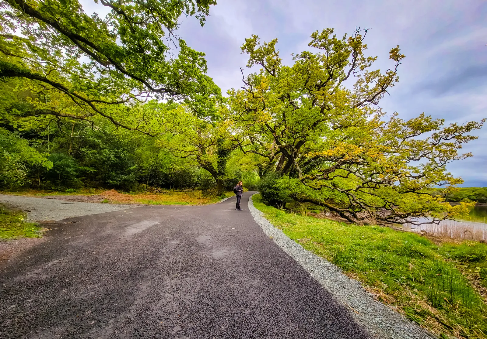
The walk from Muckross House to Muckross Abbey is an easy 1.1 miles and takes about 20–25 minutes at a relaxed pace. The paved path is mostly flat and well maintained, making it accessible for most visitors, while horse-drawn carriages offer a charming, old-world alternative if you'd rather ride than walk.
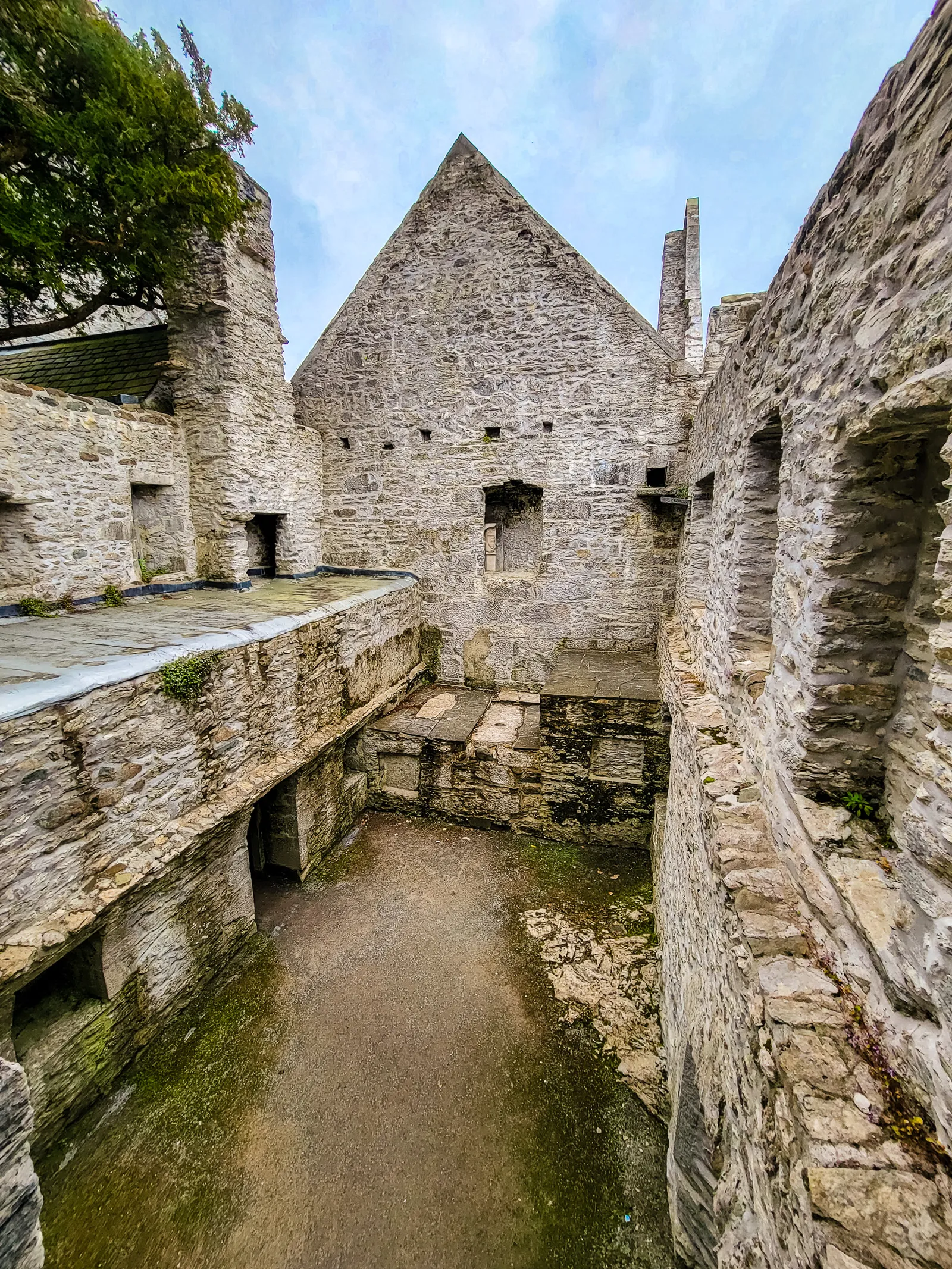
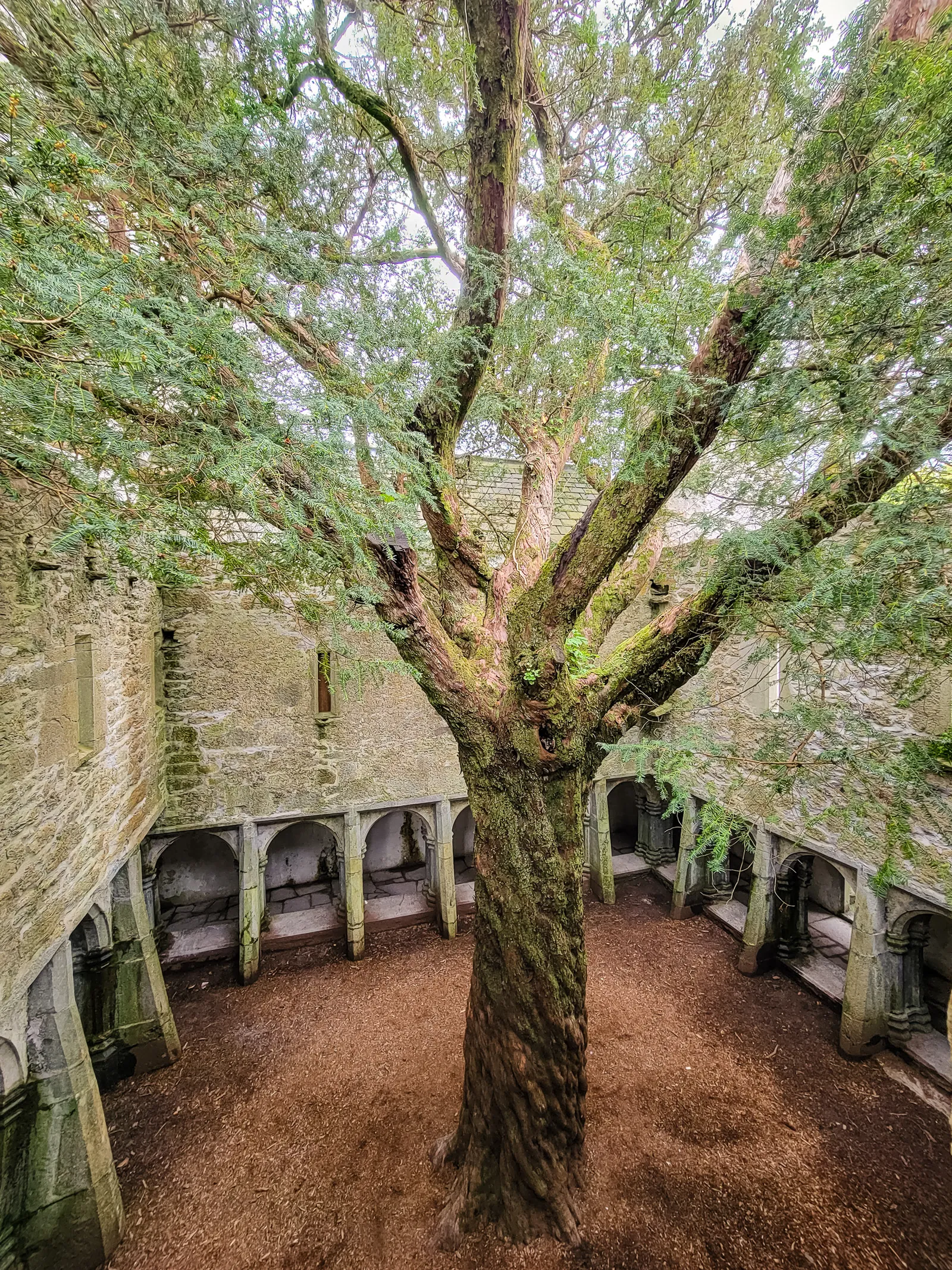
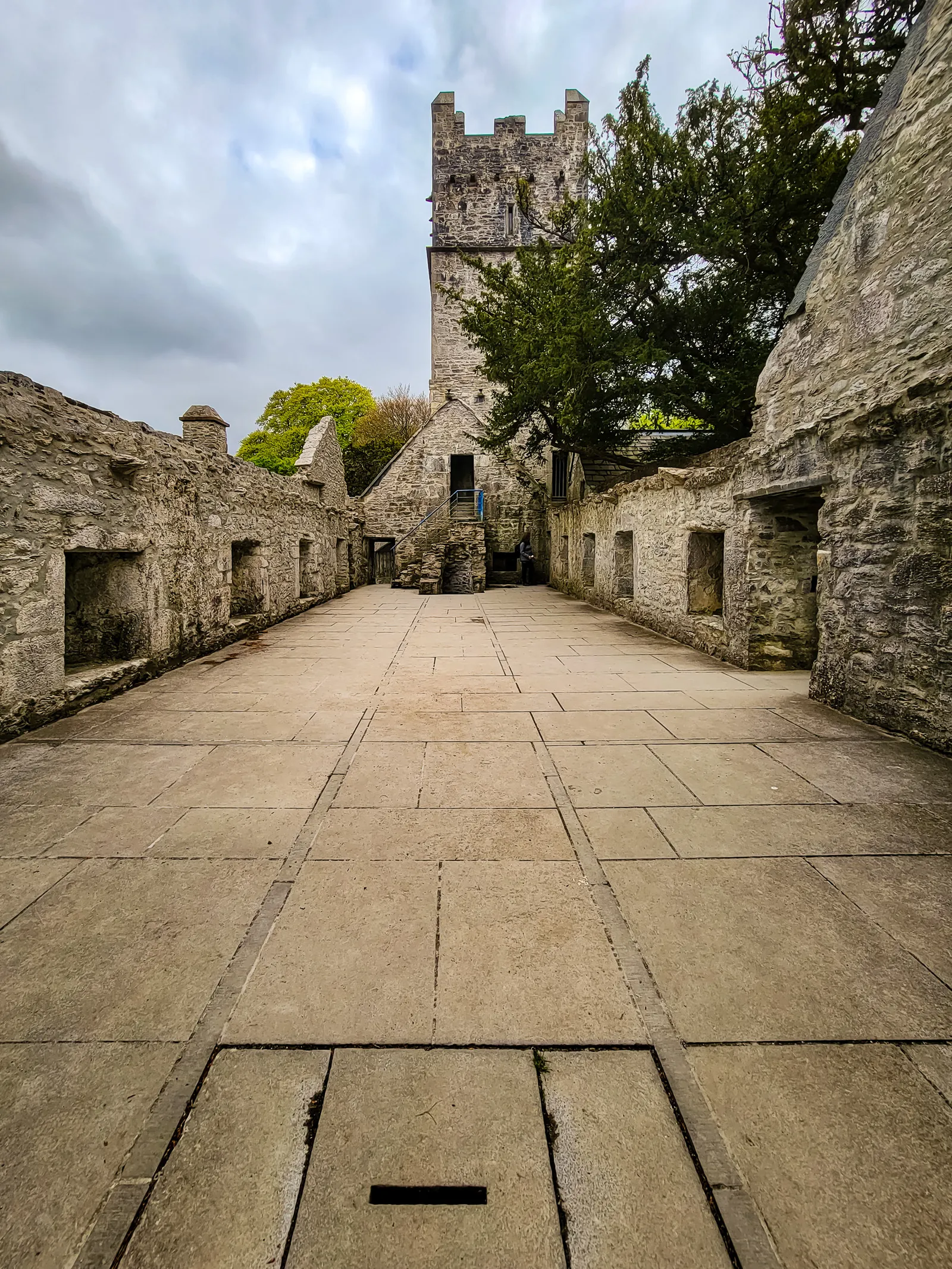
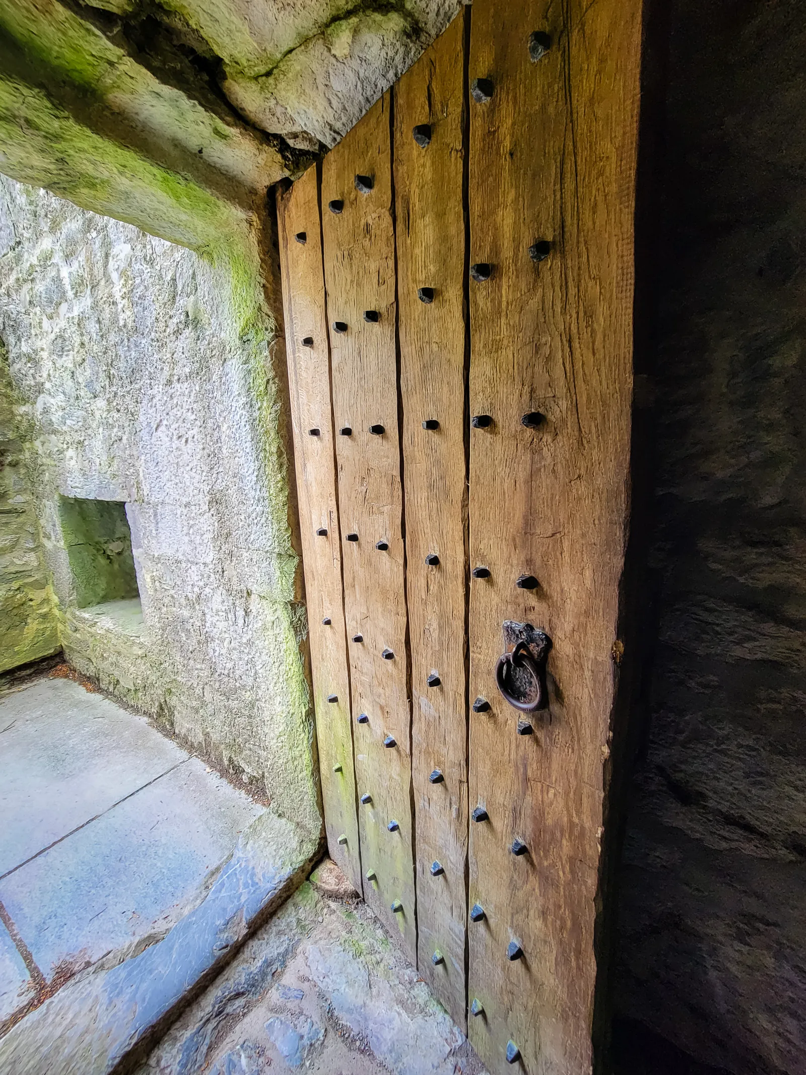
We followed the shaded trail to Muckross Abbey, more accurately, a Franciscan friary, founded in 1448 by Donal McCarthy Mór, a chieftain of the MacCarthy clan. Despite periods of suppression and abandonment, the friary remained a place of quiet devotion for centuries.
Stepping into the courtyard, the first thing that draws your eye is the ancient yew tree at its center. Estimated to be several hundred years old, possibly dating back to the friary's founding, its gnarled branches twist skyward as a living witness to faith, resilience, and the countless generations who have passed through this sacred space.
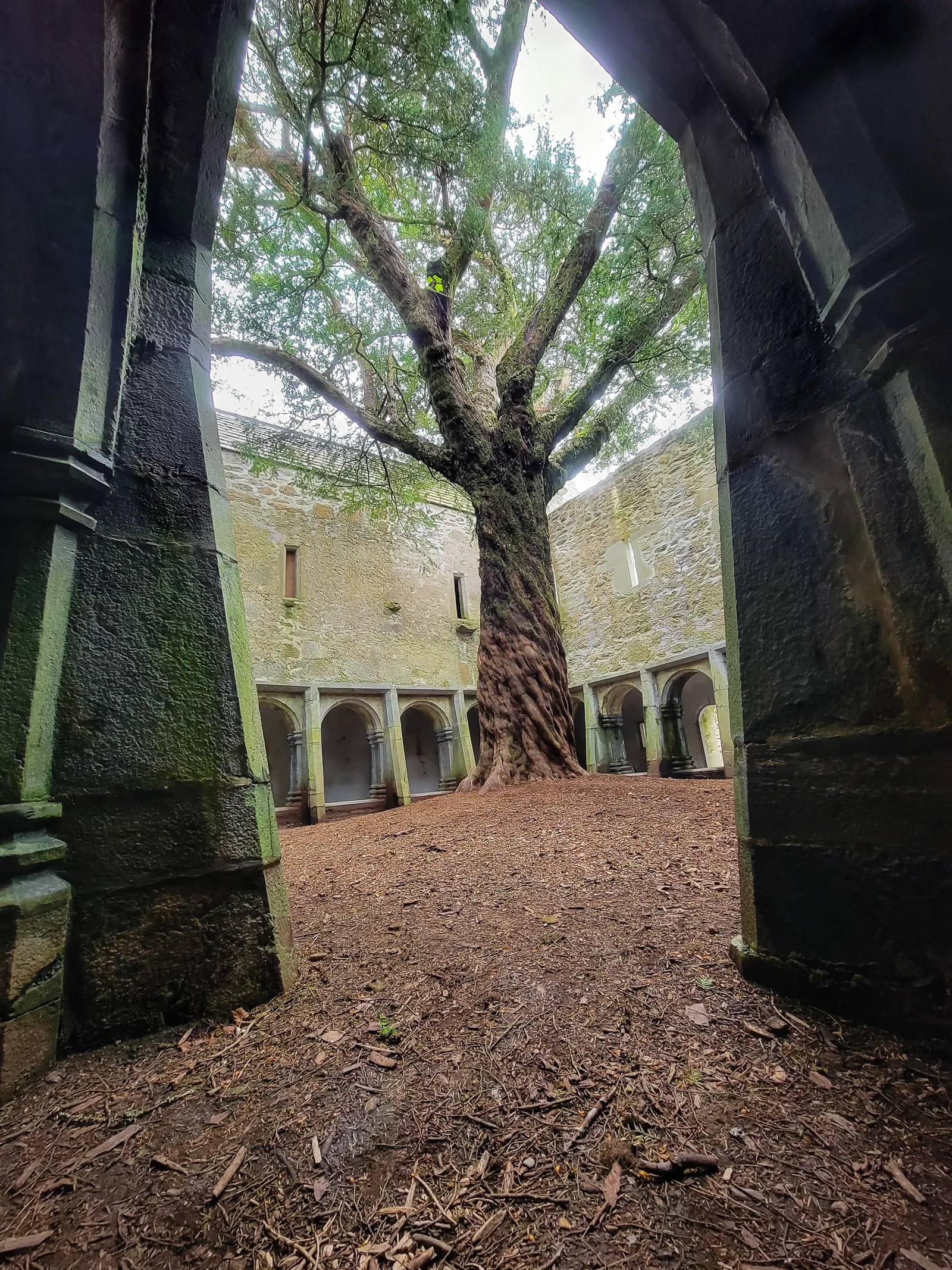
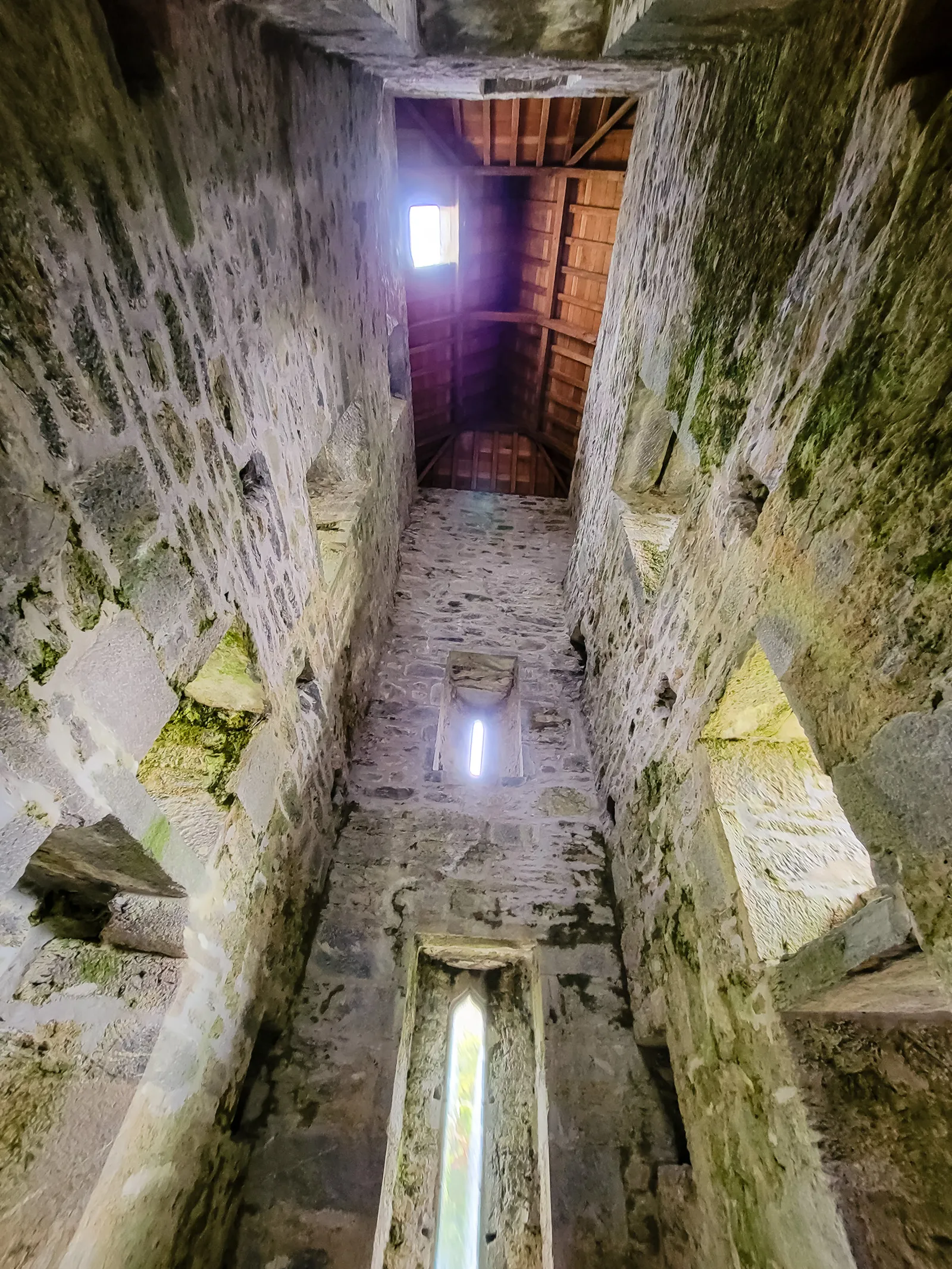
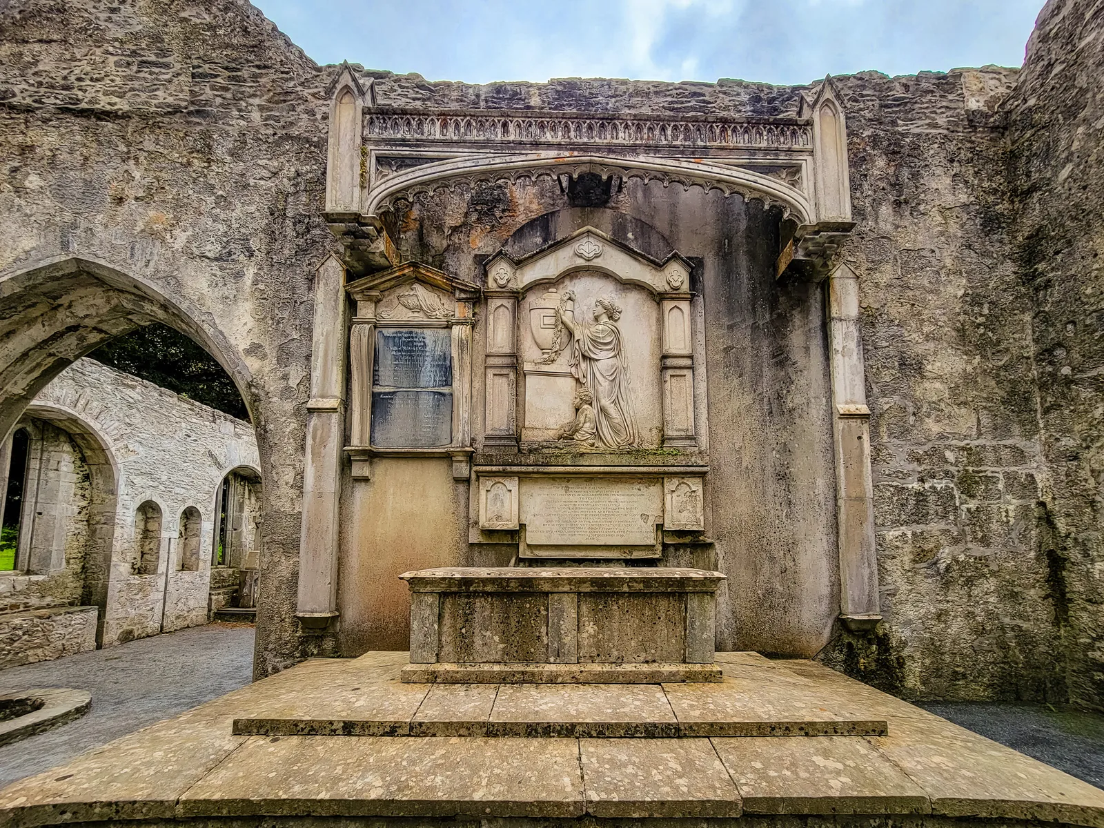
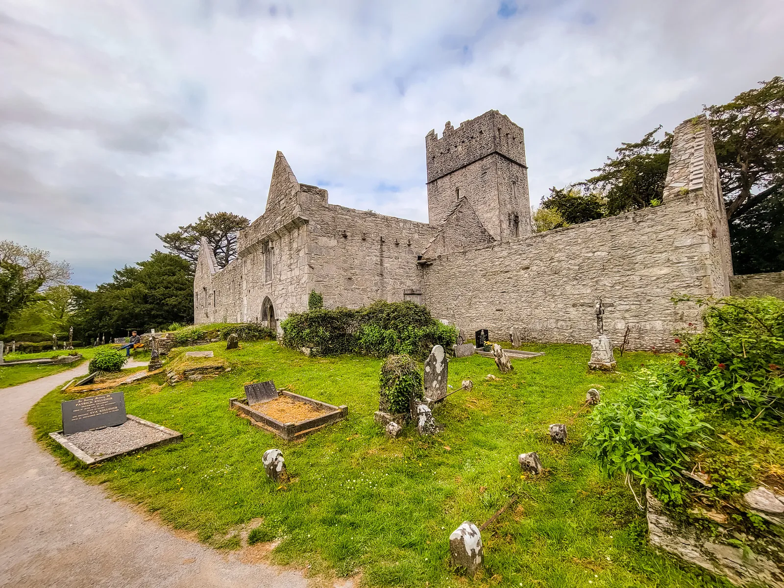
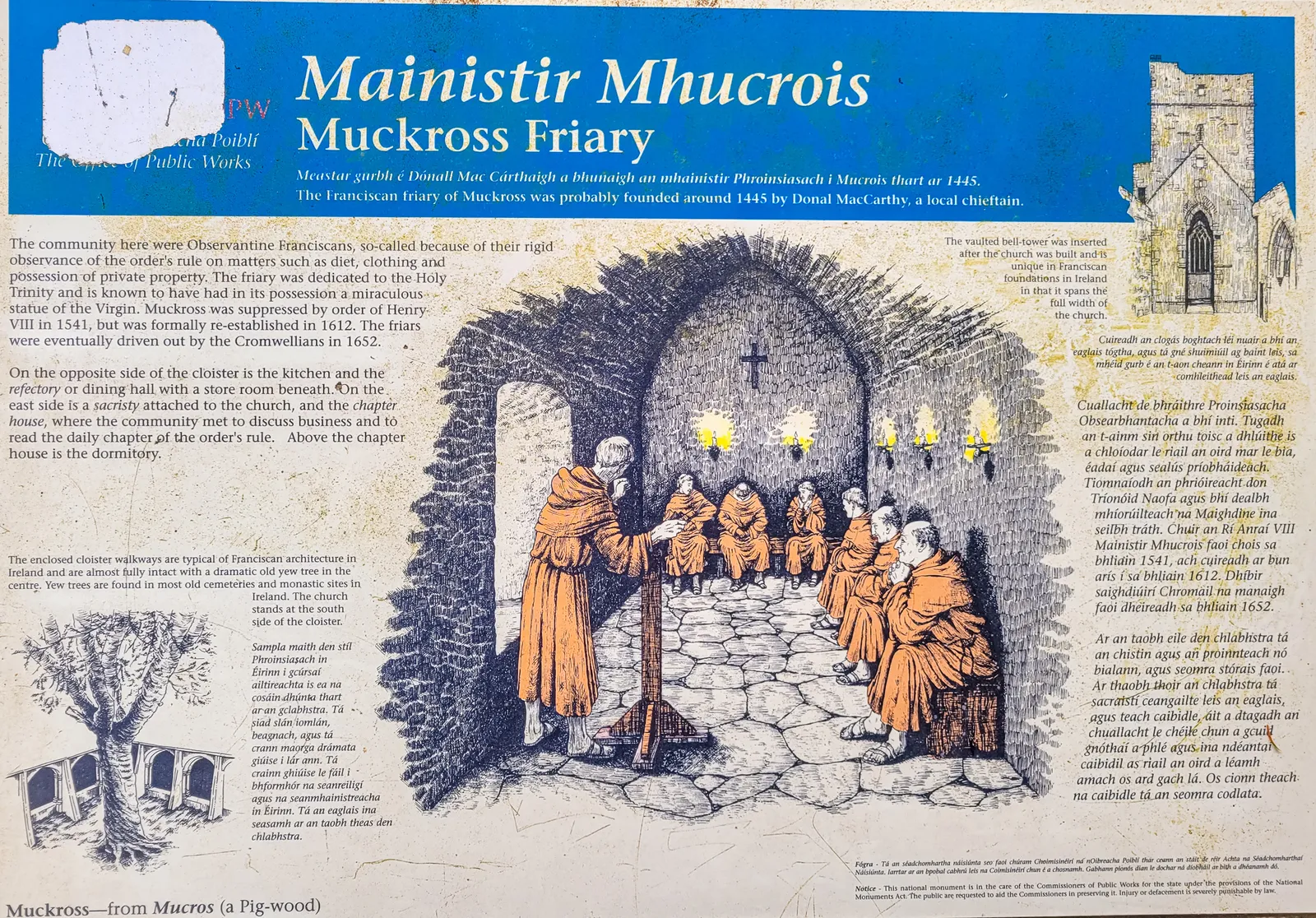
After visiting the Abbey, we backtracked to main pier and took a boat ride across Muckross Lake to Dinis Pier. The ride offers beautiful views of the lake and surrounding mountains, and on a clear day you might spot white-tailed eagles overhead.
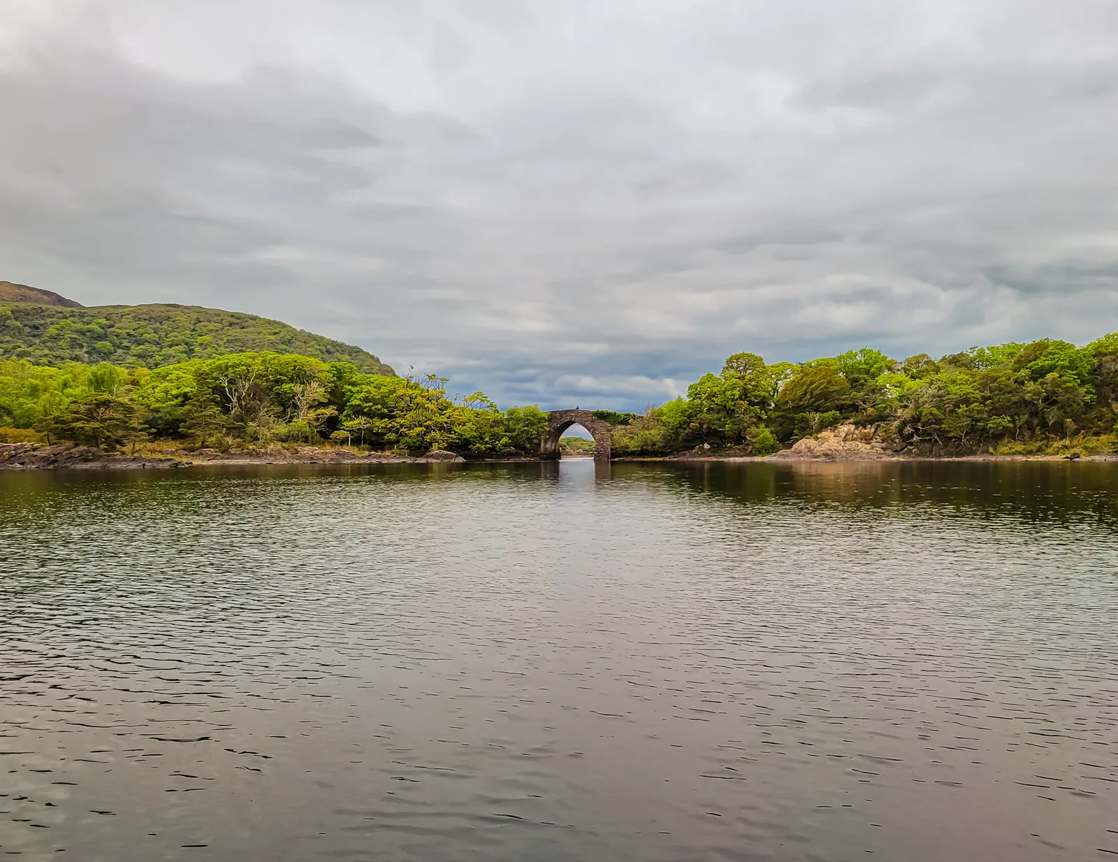
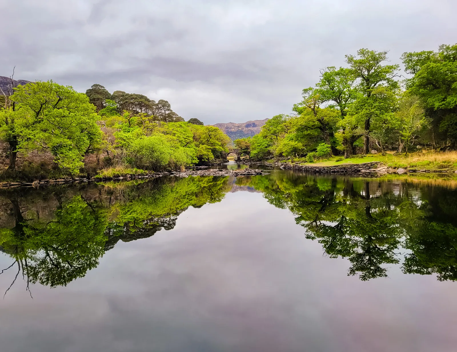
From Dinis Pier, we walked to the Meeting of the Waters, where Killarney's three lakes converge, Upper Lake, Muckross Lake, and Lough Leane. This is where you'll find the Old Weir Bridge, a stone arch where the water flows between the lakes. It's a peaceful spot that feels tucked away from everything.
We stopped at Dinis Cottage for a break. This 1700s cottage has been serving refreshments for over 200 years, and it's a popular stop for hikers and cyclists on the trail. We had coffee and homemade scones while sitting outside by the lake.
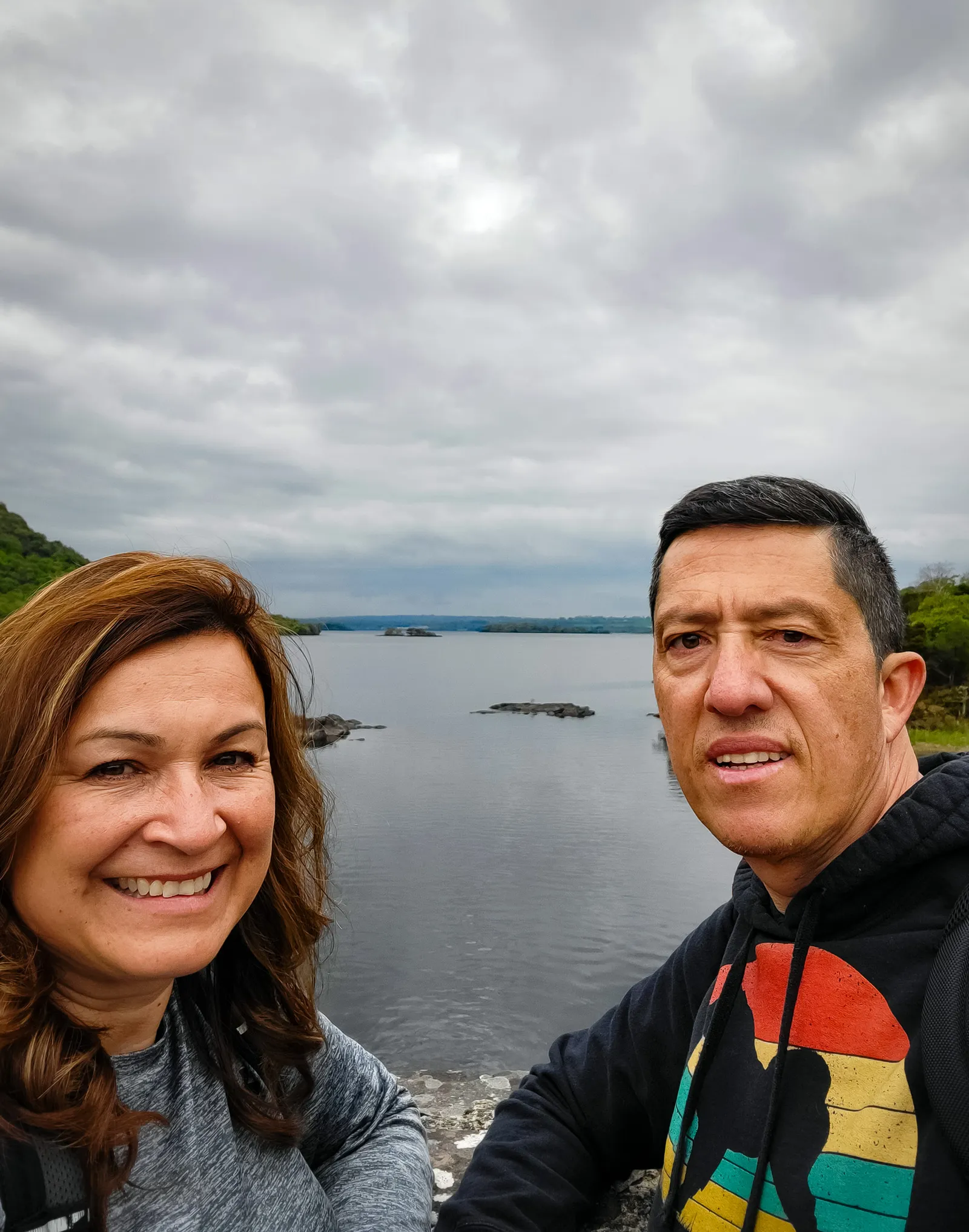
The walk back followed the paved path around part of Muckross Lake. It's an easy, mostly flat trail that's perfect for all fitness levels. We stopped for photos at Brickeen Bridge, an 18th-century stone arch that offers great views of both lakes with the mountains in the background. The whole loop back to the parking lot took us about two hours at a leisurely pace, with plenty of stops for photos along the way.
- Location: County Kerry, just outside Killarney town
- Driving Time: 2 hours from Drombeg; 5 minutes from Killarney town center
- Parking: Multiple lots near Muckross House, Torc Waterfall, and Ross Castle
- Top Sights: Muckross House, Torc Waterfall, Ross Castle, Lakes of Killarney
- Time Needed: Half day minimum; full day recommended
- Best Time to Visit: Morning for fewer crowds and softer light
- Torc Waterfall: Busiest midday; early morning gives you the quiet, misty atmosphere it's known for.
- Muckross House Gardens: Free to explore and perfect for photography
- Parking: Near Ross Castle fills quickly, go early or late afternoon
- Red Deer: Often spotted near dusk, keep an eye on the tree line
- The Park is huge; plan your stops ahead to avoid backtracking
A Jewel of the Wild Atlantic Way
Leaving Killarney behind, we continued west toward the Dingle Peninsula, one of the most breathtaking regions on the Wild Atlantic Way. The drive into Dingle was beyond imagination; the rolling hills, deep valleys, and countless sheep created a landscape straight out of a W. B. Yeats poem. Unfortunately, I have no photos or videos; as we were focused on arriving before nightfall. By the time we reached the town of Dingle, we understood why so many travelers call this their favorite place in Ireland. If you make the journey, take your time, this stretch of Ireland is absolutely stunning.
Dingle welcomed us with color, character, and an easygoing charm that immediately set the tone for our stay. We stayed at the Lantern House, a quaint B&B with just the right touch of home. Our host, Anne-Marie, was warm, accommodating, and attentive to every detail of our brief stay.
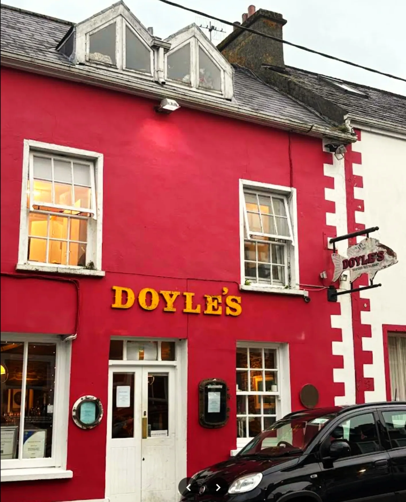
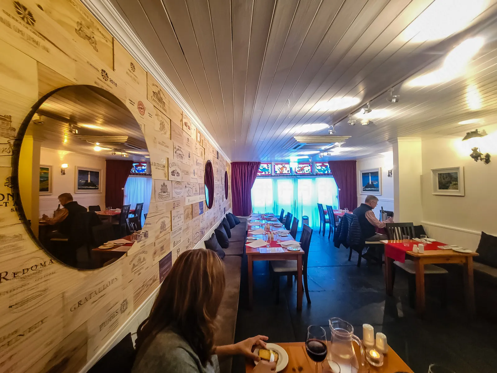
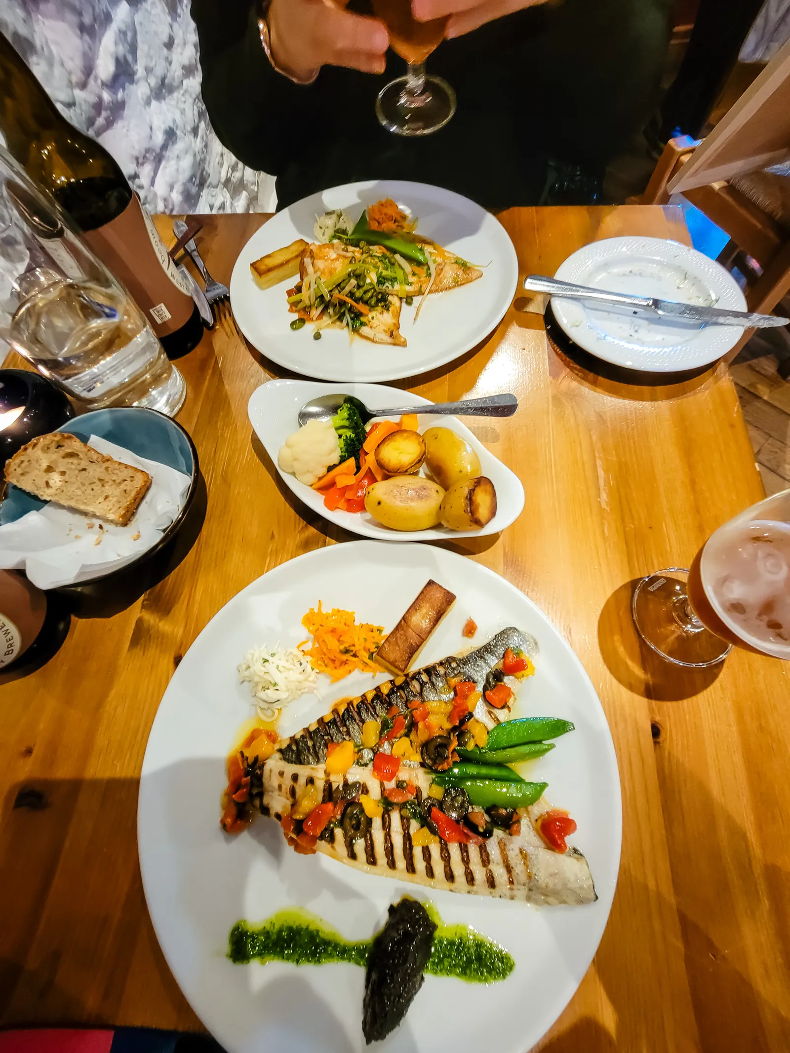
After settling in, we asked for a dinner recommendation and were pointed to Doyles. It was an easy walk, just about a block down the road. We enjoyed the seafood linguine and the pan-dried black sole, a fantastic introduction to "The Dingle", as the locals call it.
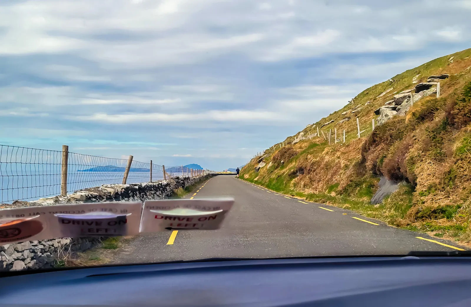
The Slea Head Drive on the Dingle Peninsula is one of those places that remind you why travel matters. Stretching just 24 miles along Ireland's Wild Atlantic Way, the local name is known as Slí Cheann Sléibhe. This beautiful highway winds through rugged coastline, quiet villages, and landscapes that seem traveled, but untouched by time. Officially added to the Wild Atlantic Way in 2014, the drive still carries the texture of something more rustic and weathered.
Driving it clockwise kept us closest to the coast, which also meant hugging some tight turns along the left-hand side of the road. What amazed us, was watching the full-size tour buses handle those same narrow bends with ease. I have no idea how those drivers manage it, but they do, with what I can only describe as nerves of steel and a deep understanding of Irish roads.
Here's a short video we captured during our visit, it gives a real sense of what the spot feels like in person.
Our first stop was at the Fairy Fort, a small pet farm that had lambs, pigs and donkeys running free. A really good experience being able to have them all walk up to you, looking for food, and allowing them to be petted. Just beyond the pet farm sits a preserved rath, or ringfort, where ancient folklore is, don't mess with it and leave it be or else.
Here's a short video we captured during our visit, it gives a real sense of what the spot feels like in person Fairy Fort Pet Farm Stop | Slea Head Drive, Dingle
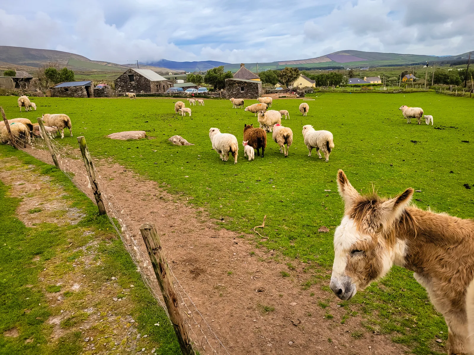
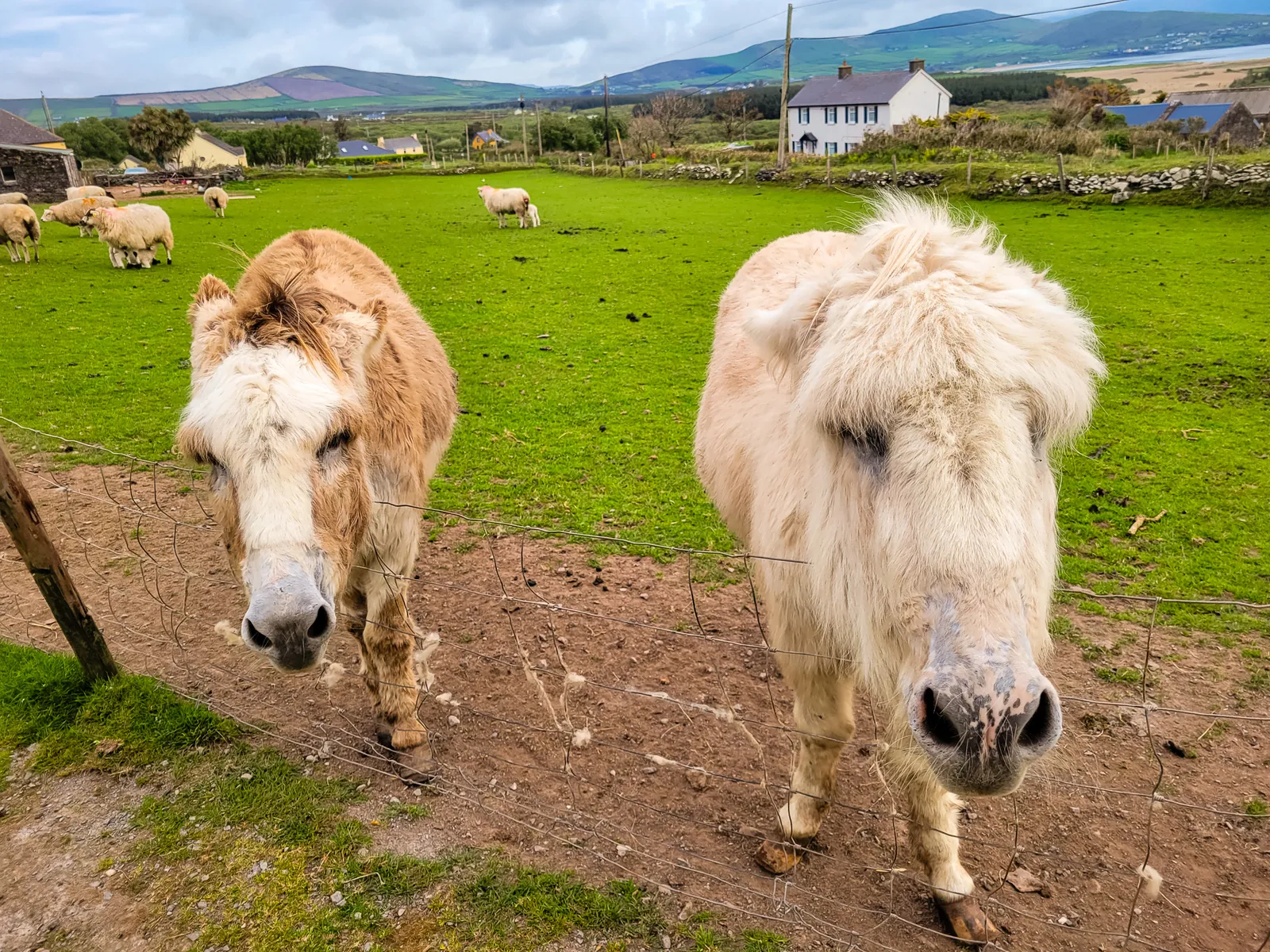
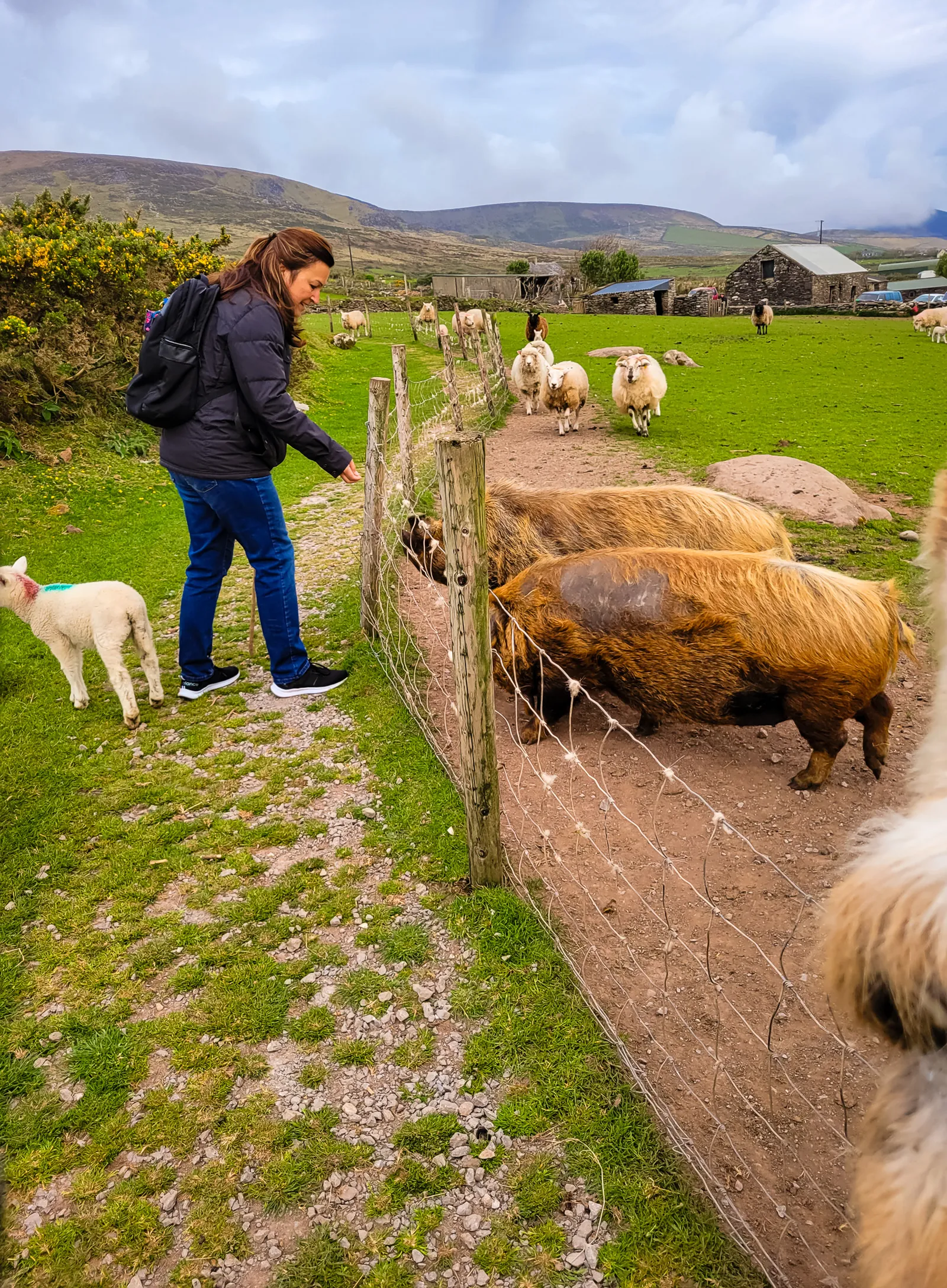
Watch this part of the journey
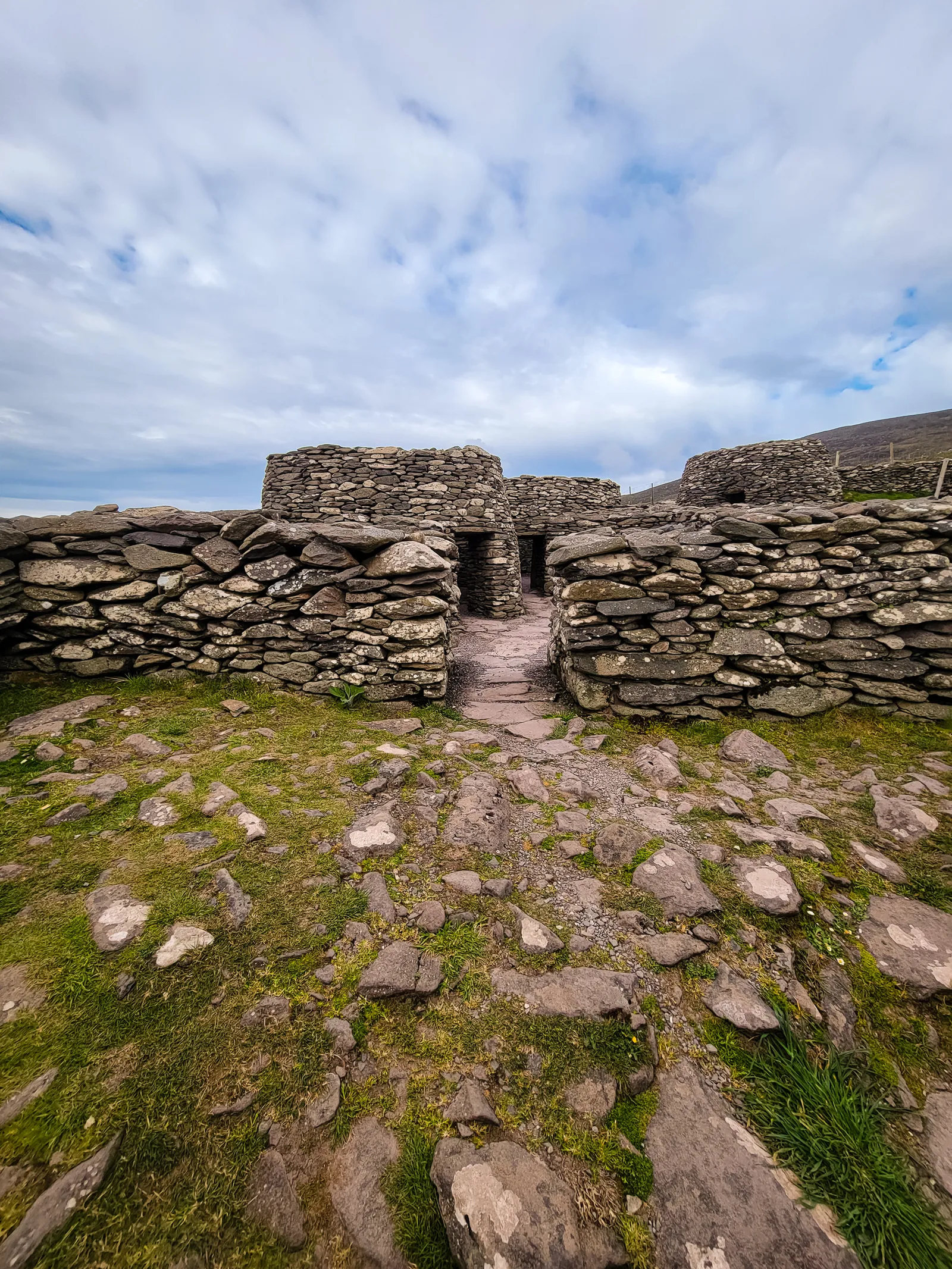
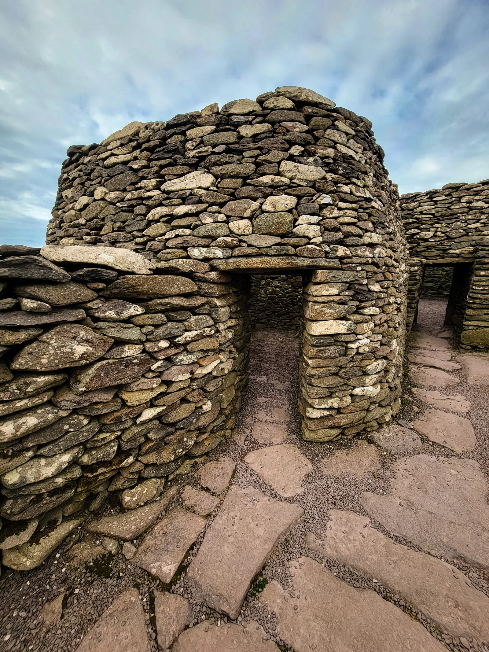
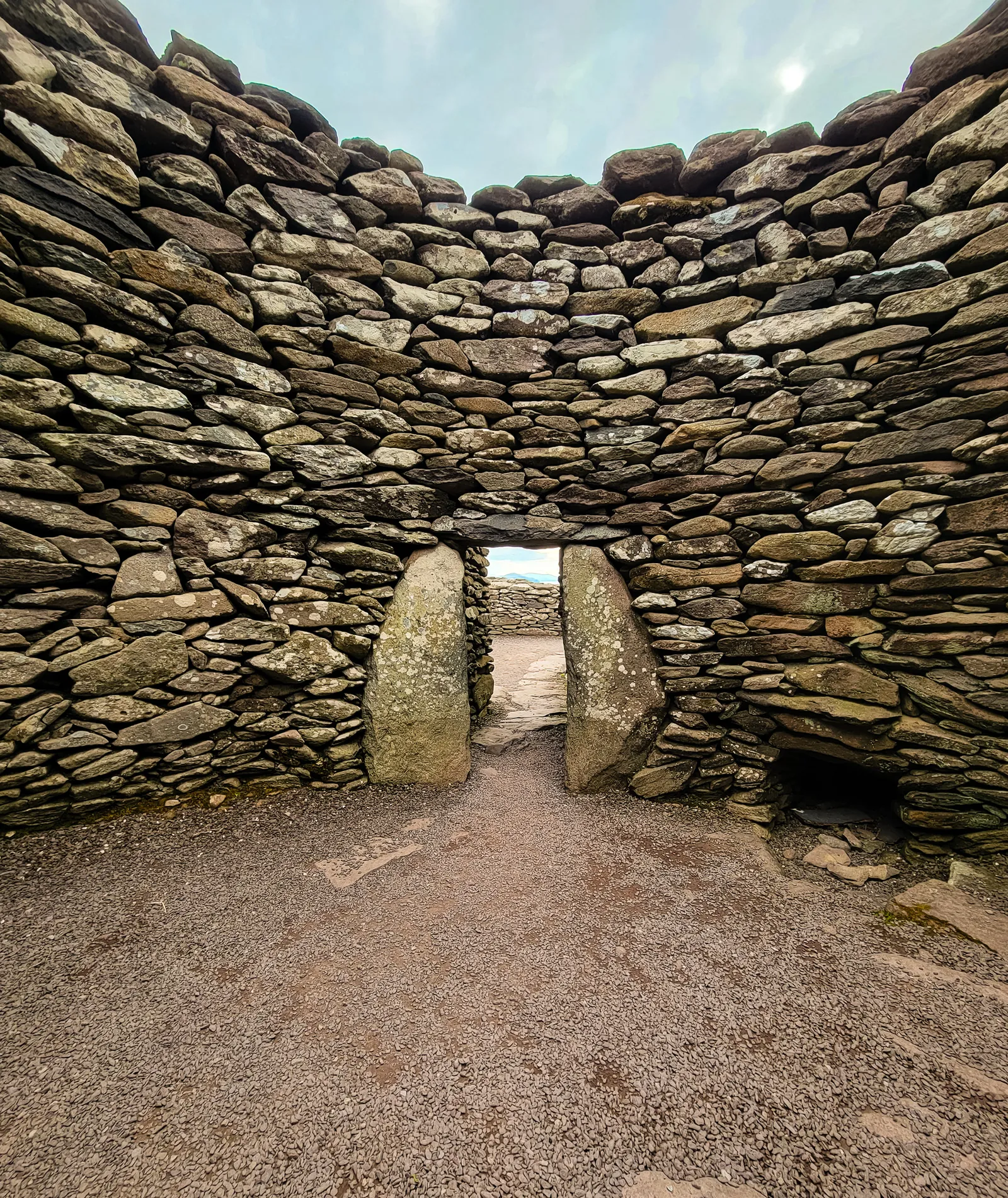
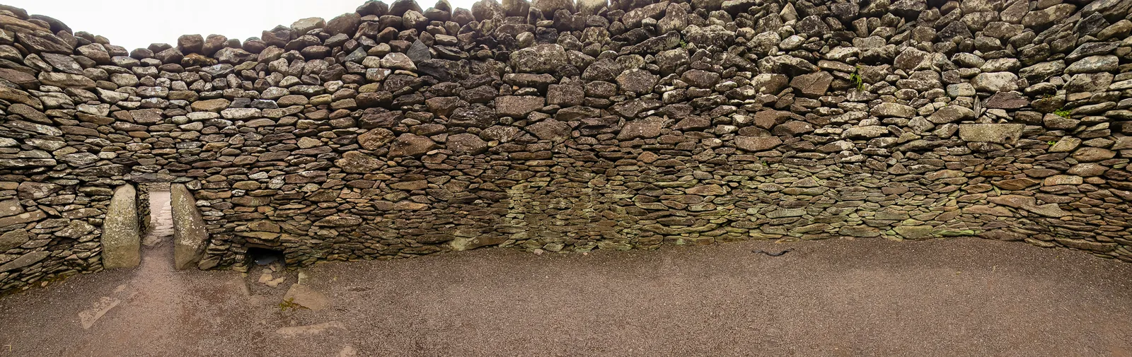
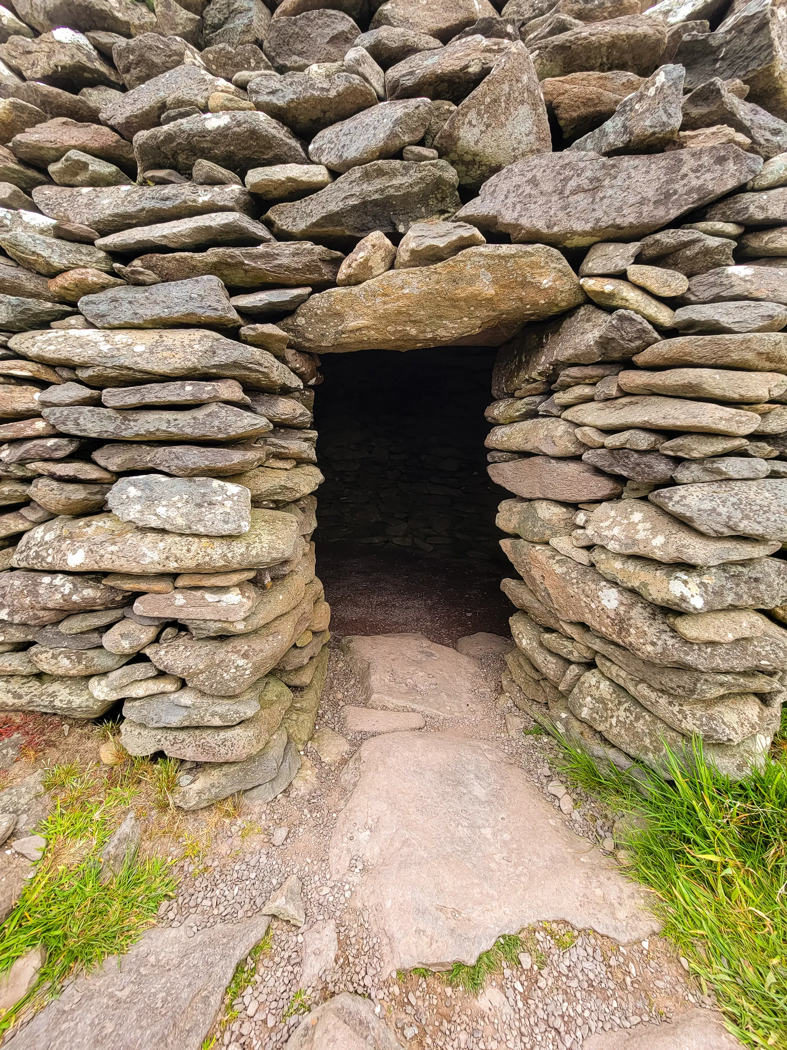
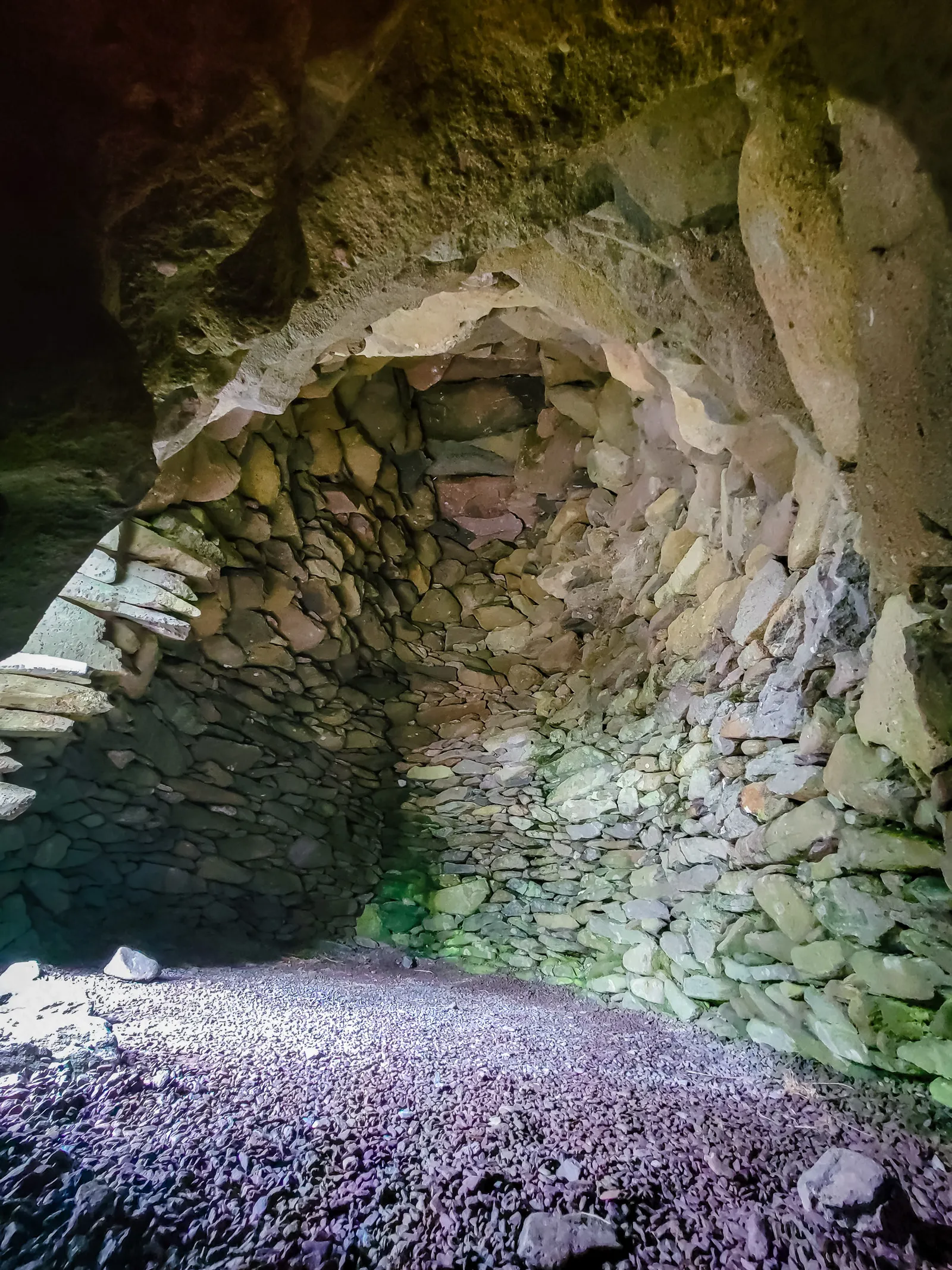
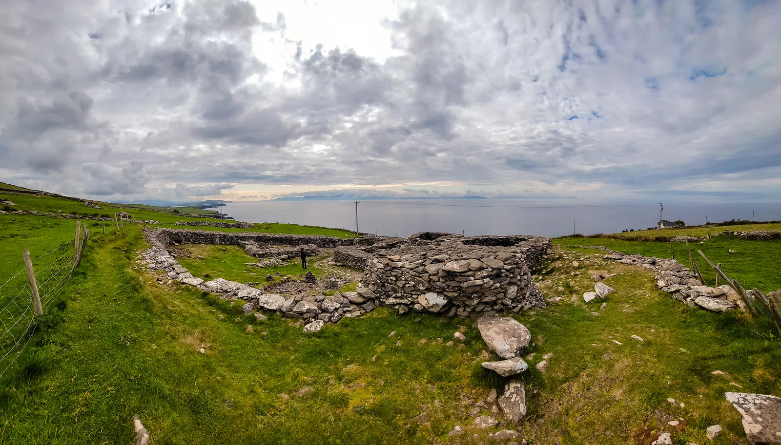
Just a bit up the road we stopped at the Bee Hive Huts, these ancient stone structures scattered along the hillside overlooking the Atlantic. Known locally as clocháns, the huts date back hundreds of years and were built entirely without mortar, each stone carefully stacked inwards to form a corbelled dome. Standing inside one, it's hard to imagine how people once lived here, braving the harsh coastal winds with only layered stone for shelter. The stop was brief, but you really get a feel for how the locals lived, rugged.
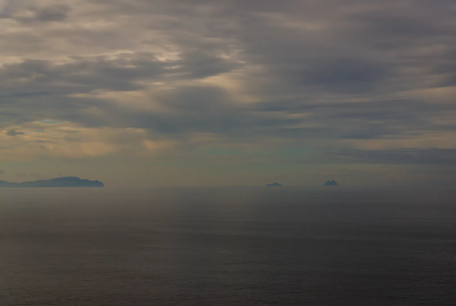
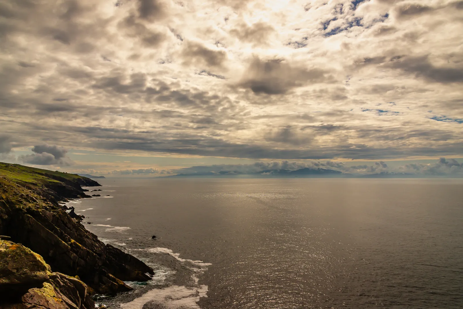
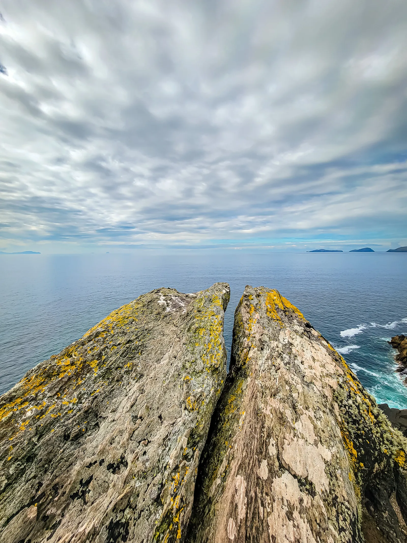
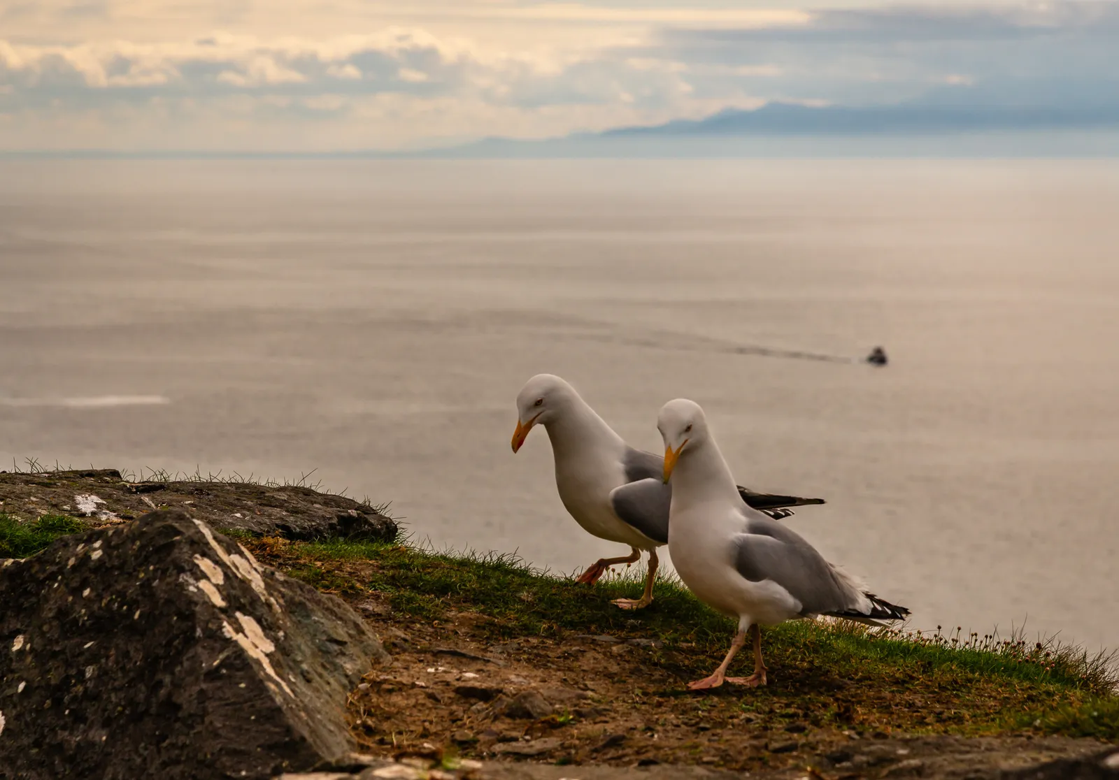
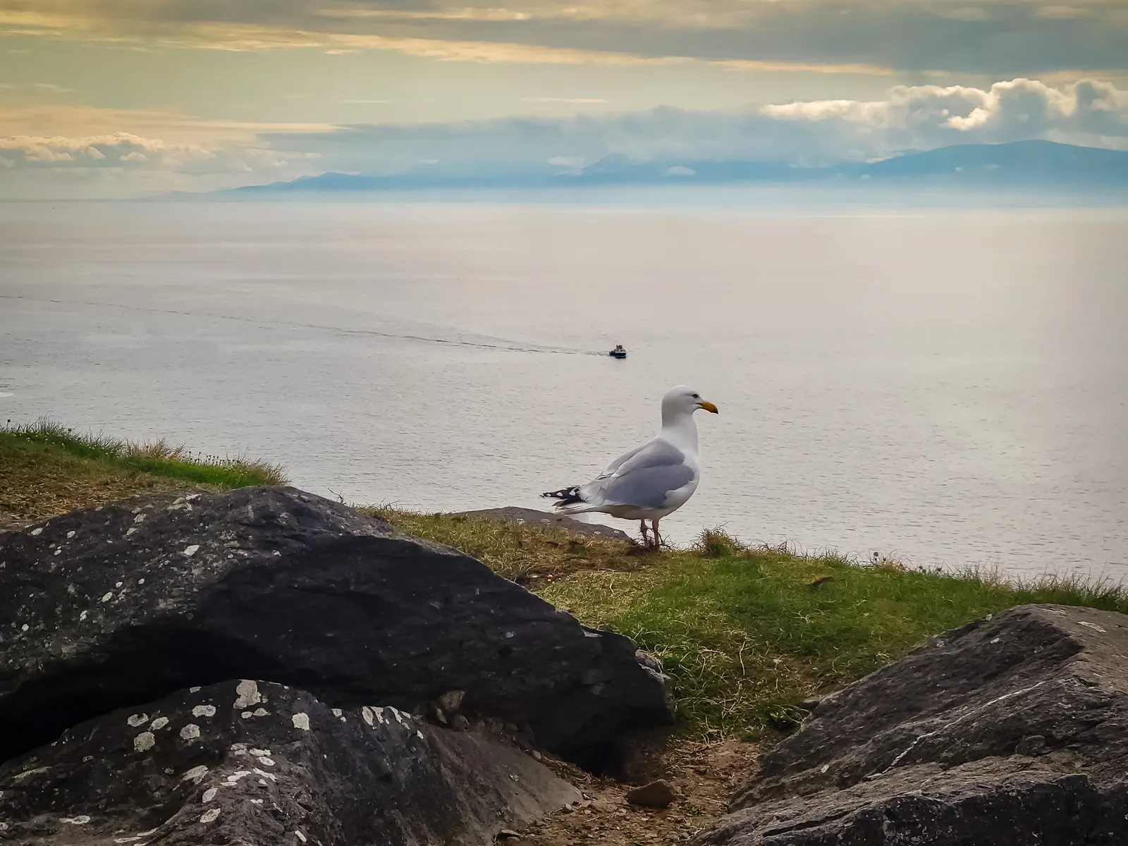
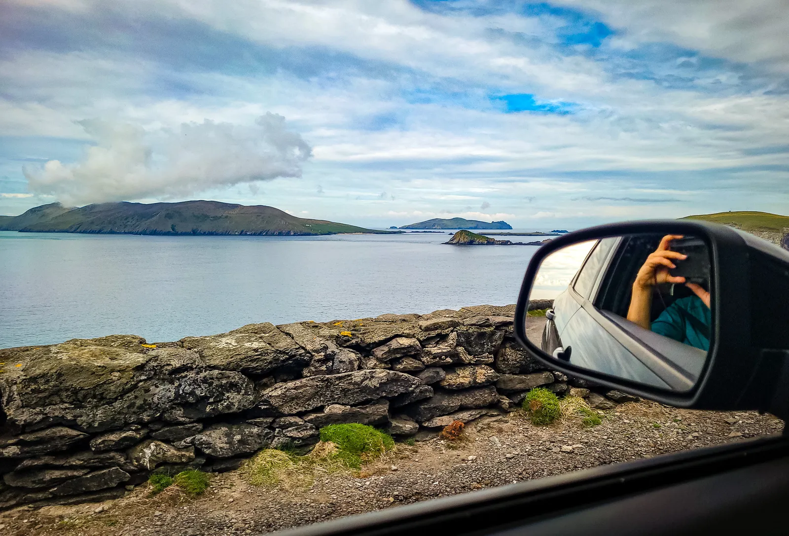
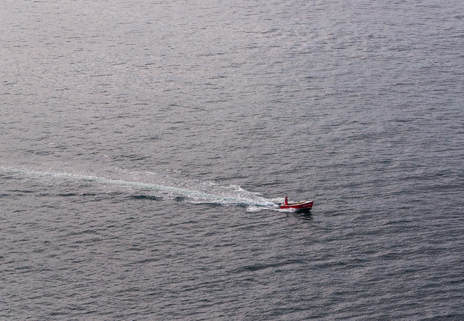
Shortly after passing the White Cross, we spotted a pull-out and decided to stop. From here, the views opened up across the Atlantic rugged coastline, with Dunmore Head off in the distance. It was the kind of spot that we had to stop at, just long enough to stretch our legs, explore, and capture some photos of the surrounding landscape.
From Bronze Age Cliffs to Star Wars Fame
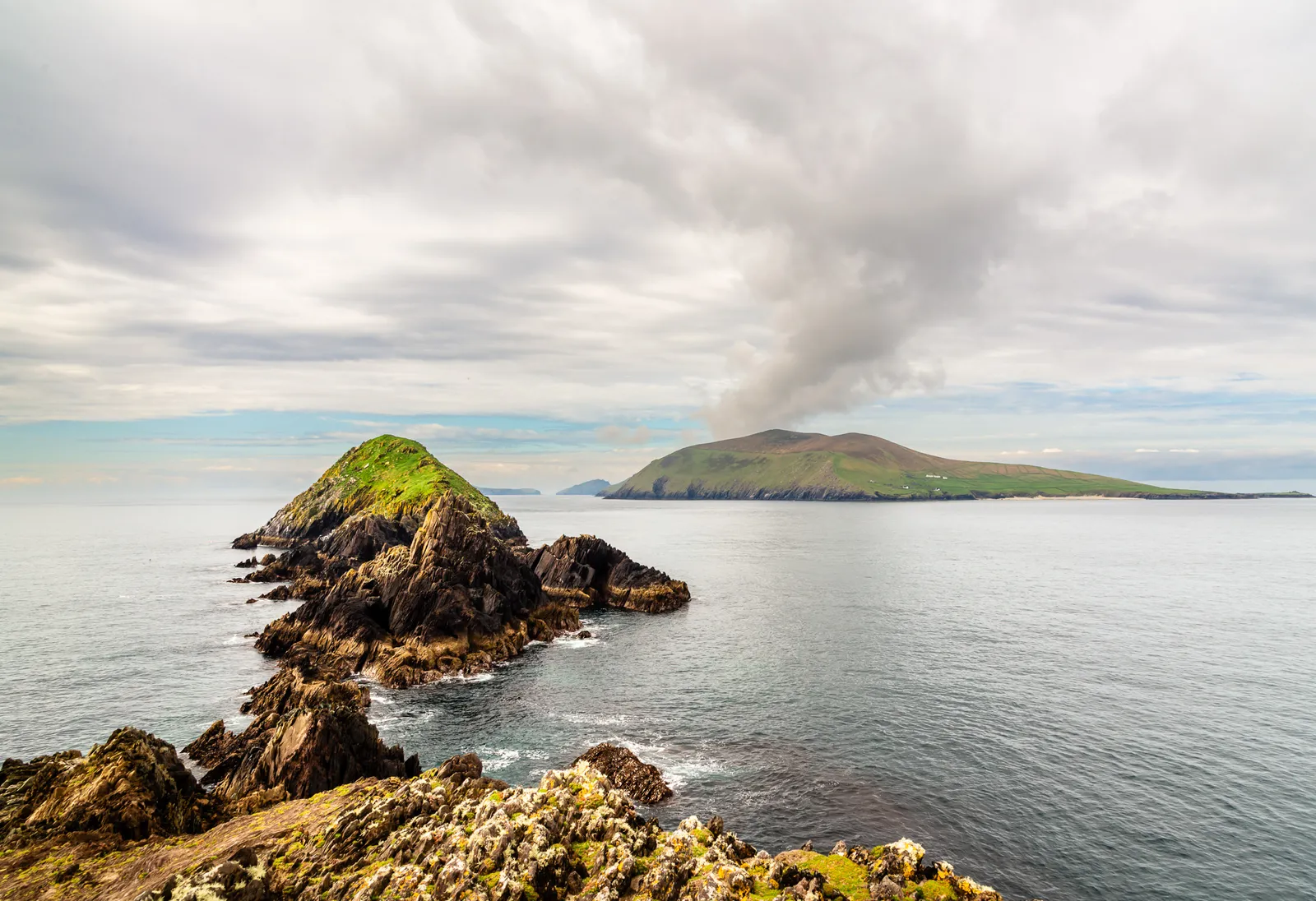
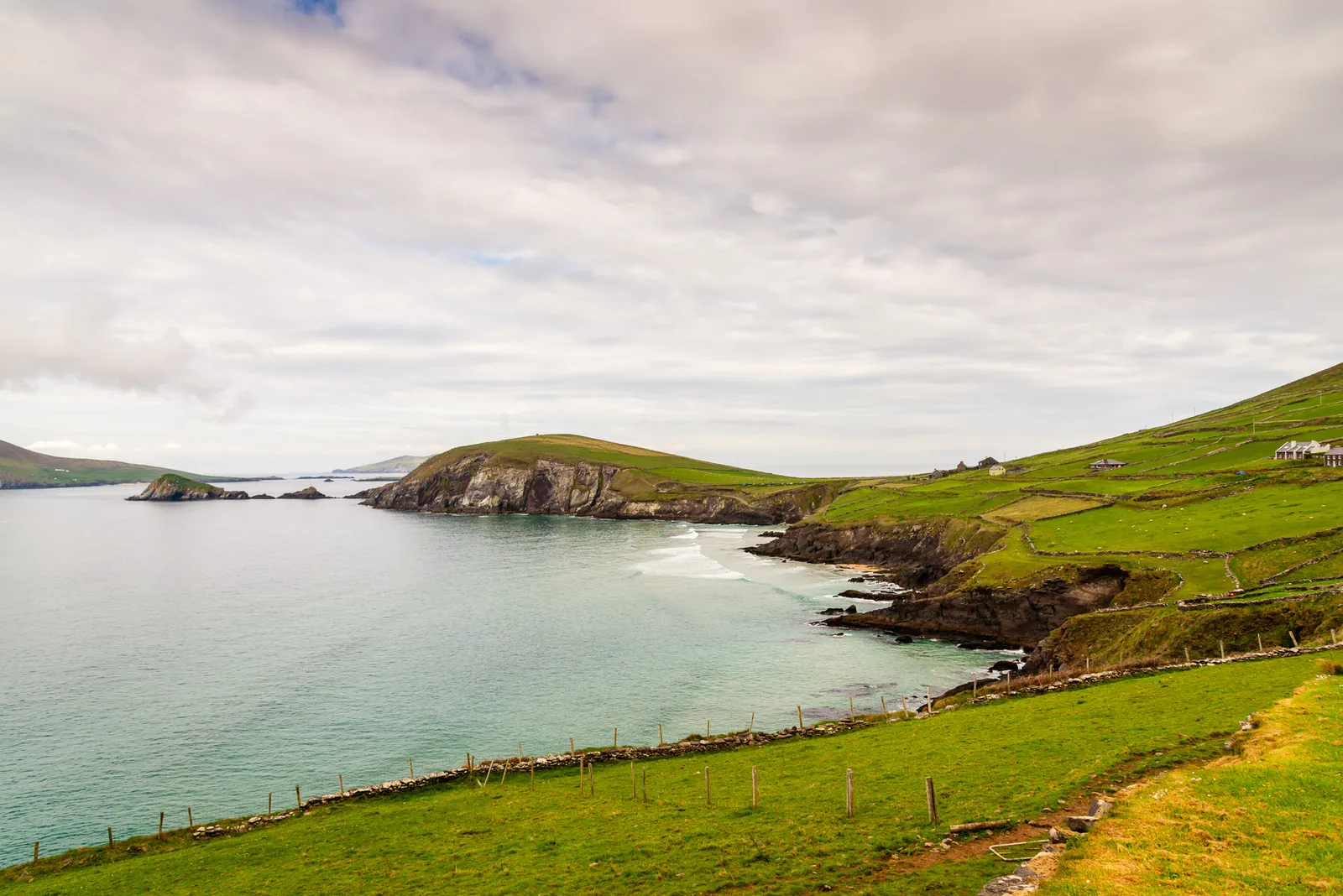
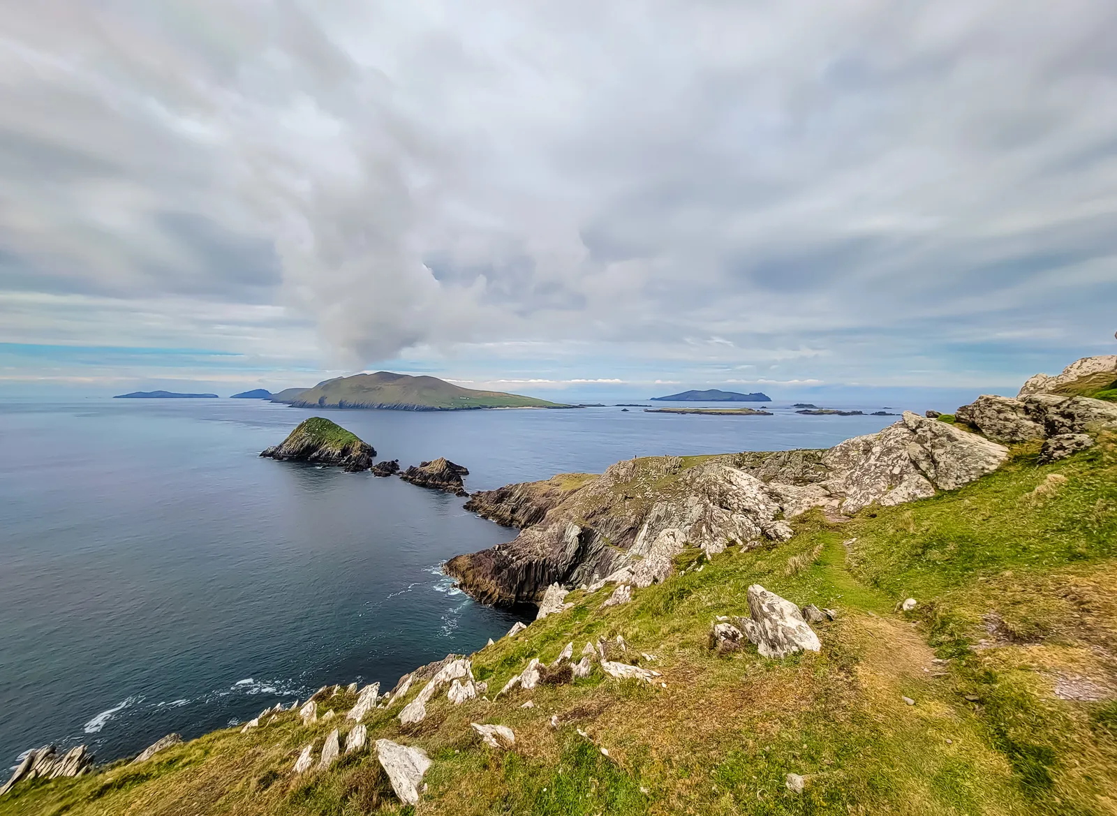
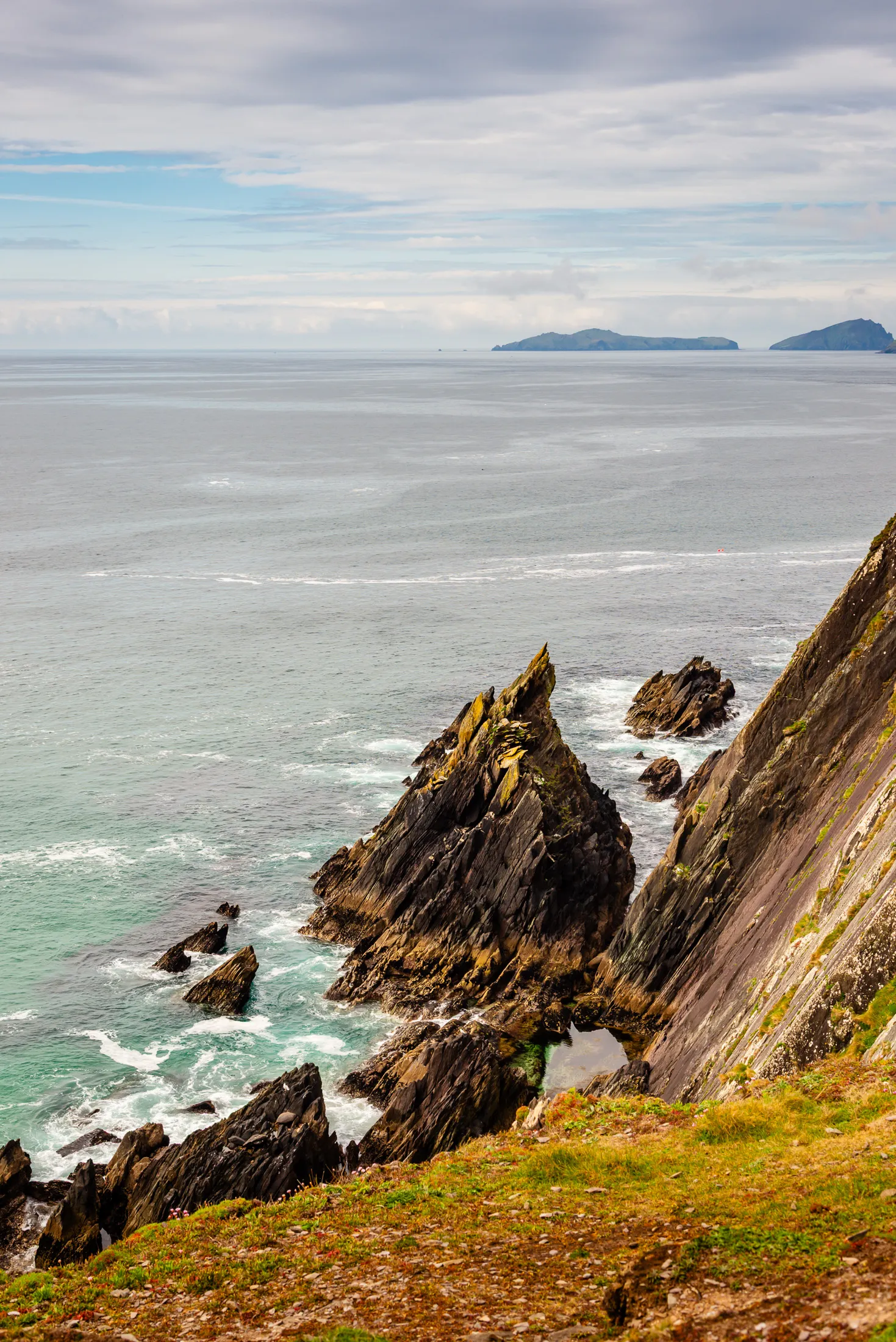
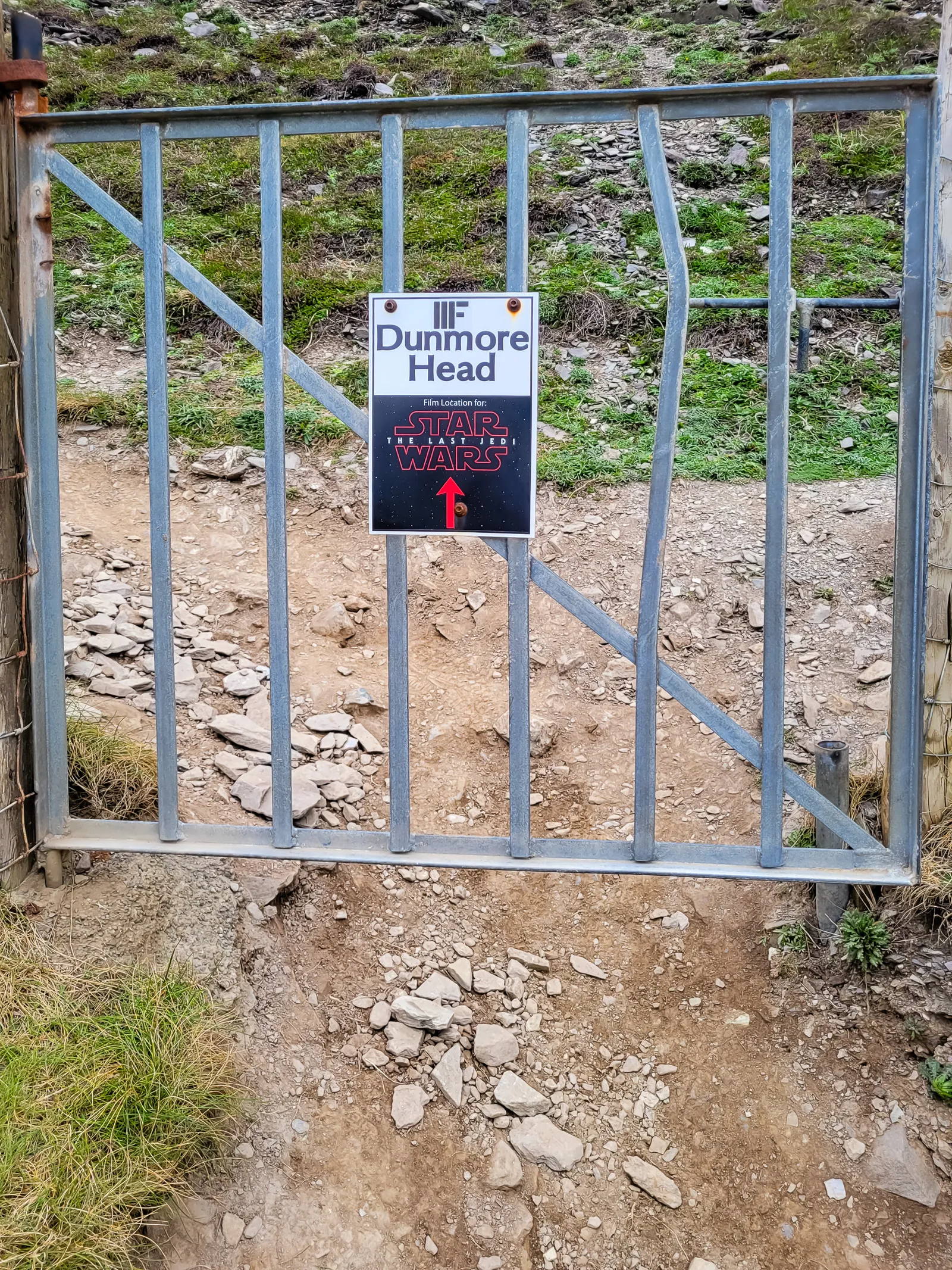
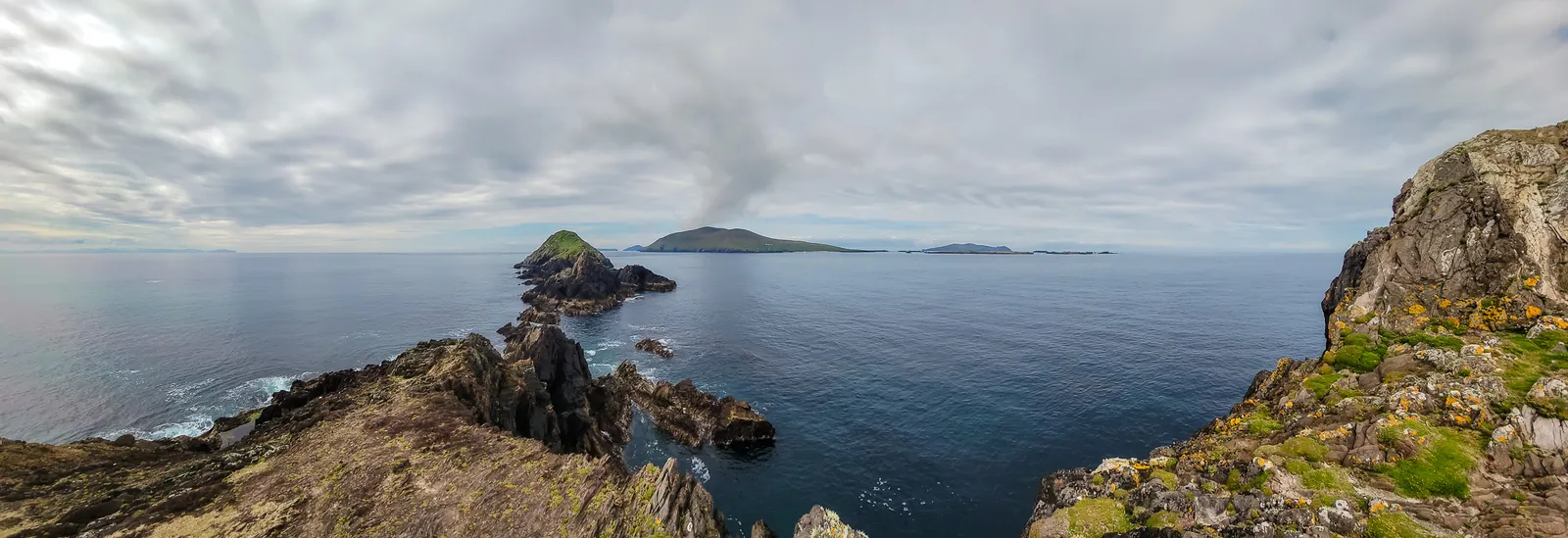
Our next stop along the Slea Head Drive was Dunmore Head, the dramatic westernmost point of mainland Ireland and a filming location for Star Wars: The Last Jedi. We parked near Coumeenoole Bay, and the moment we stepped out of the car, the wind made its presence known. From here, the land drops sharply into the sea, opening wide views over the bay and the rugged coastline beyond.
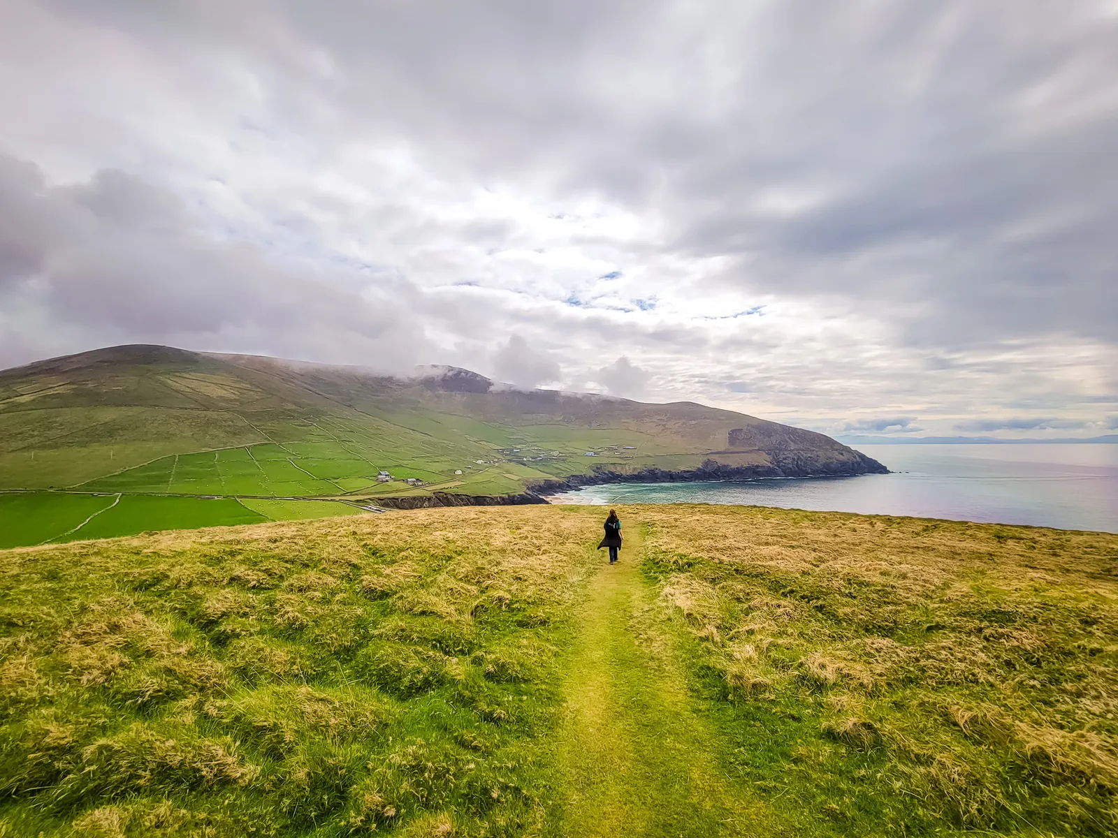
It's a short but worthwhile walk from the parking area to the edge of Dunmore Head. As the path climbs, the views expand, and on a clear day you can see Great Blasket Island rising out of the water just offshore. Standing there, at the edge of the continent, the scale of the landscape has a way of stopping you in your tracks.
Here's a panoramic video from the top of Dunmore Head, the sweep from the cliffs to the Blasket Islands captures the scale of the coastline, and it finishes at the Coumeenoole Ogham Stone Dunmore Head Ireland
Watch this part of the journey
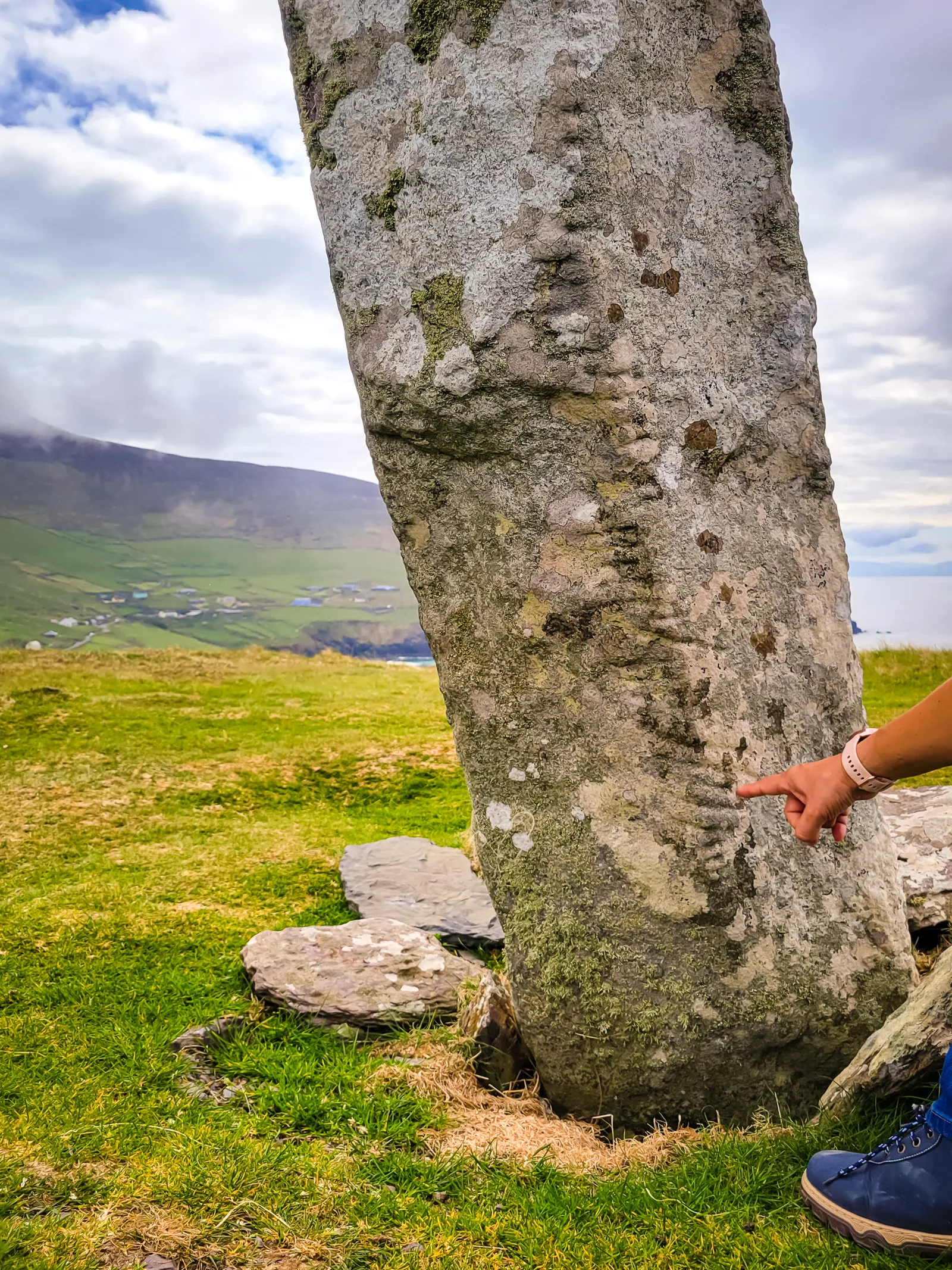
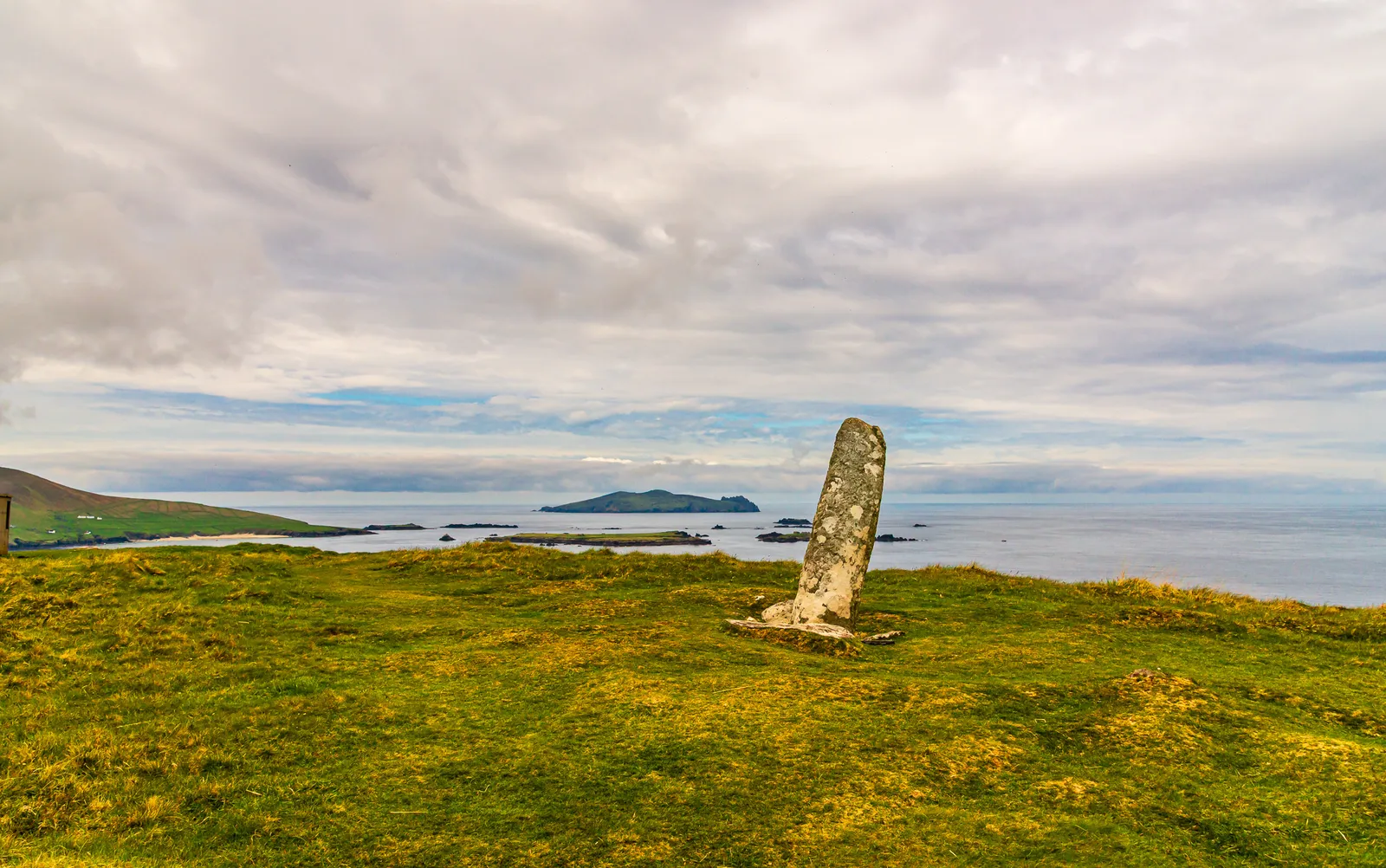
On the way back we walked to the top of Dunmore Head where a stone stands that has endured more than fourteen centuries of coastal storms. The Coumeenoole Ogham Stone was discovered in 1838 lying on the ground and re-erected the following year, preserving a message carved in the sixth century. Despite centuries of exposure, the inscription remains legible: "ERC MAQI MAQI-ERCIAS MU DOVINIA" – "Of Erc, son of Mac-Erce, descendant of the tribe of Duibne."
Someone long ago believed Erc's life was worth remembering. We don't know who he was or how he lived, only that his name was carved into stone with intention. Nearly fifteen hundred years later, we're still reading it, still speaking it aloud.
After a half day of driving and exploring along the Slea Head Drive, we headed back to Dingle to slow things down and enjoy the town itself. We returned to our B&B, then set out on foot, letting the afternoon unfold at an easy pace. Dingle is made for wandering, colorful shopfronts, local crafts, and a steady hum of conversation give the town a lively yet relaxed feel that invites you to explore without an agenda.
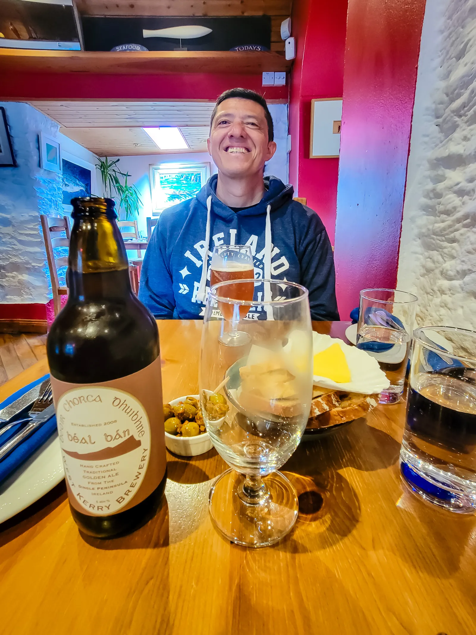
We eventually stopped at Out of the Blue, a small, no-frills seafood restaurant that has been featured in the Michelin Guide for more than 15 years. Known for its focus on the day's catch and a menu that changes based on what's freshest, it's one of those places where unique flavors that you would not believe go together, but are deliciously surprising. We arrived for a early dinner, and every dish made it clear why this spot has earned its reputation: fresh, thoughtfully prepared, and full of flavor.
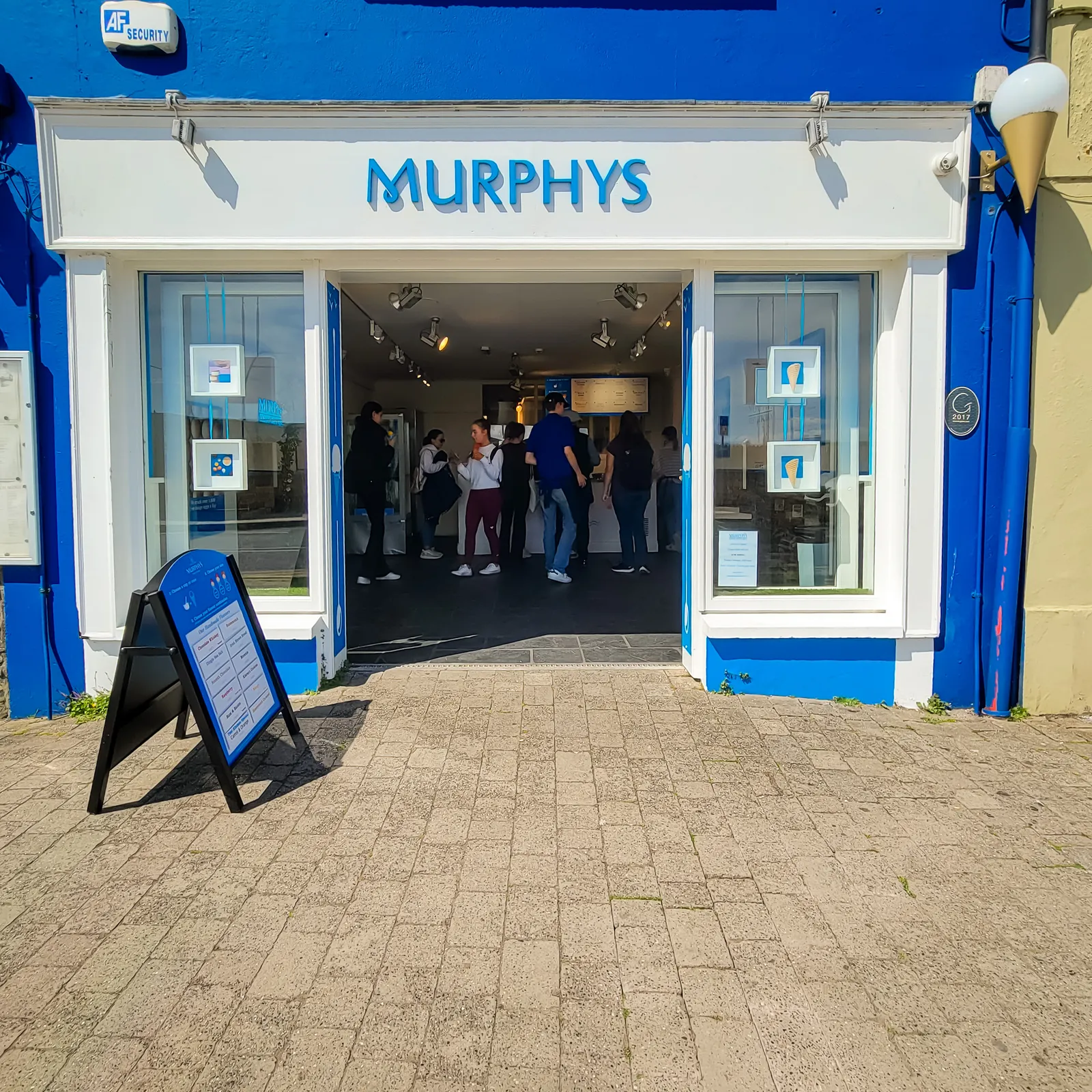
Afterward, we capped things off the right way with ice cream from Murphy's, a Dingle staple that somehow tastes even better after a long day on the road. With full stomachs and tired legs, we ventured back to our B&B, soaking in the town's charm and stopping to admire the harbor, those boats are especially impressive up close. It's the kind of place that stays with you long after you leave.
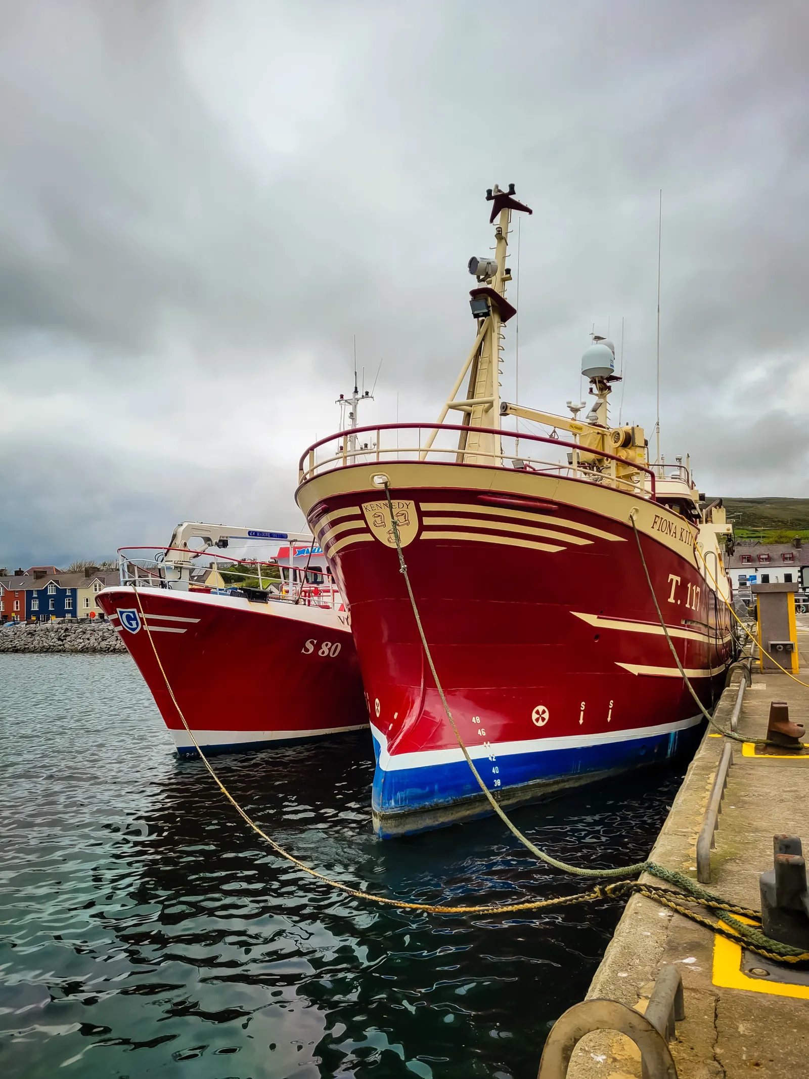
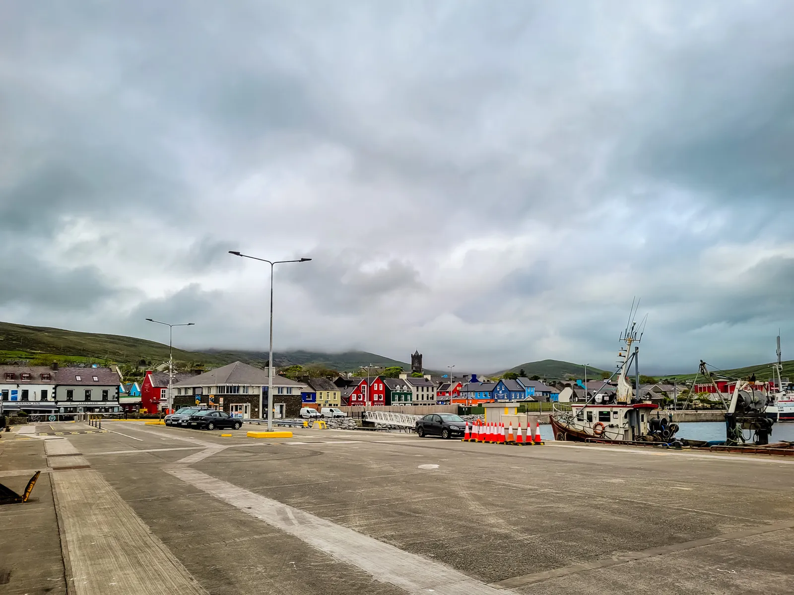
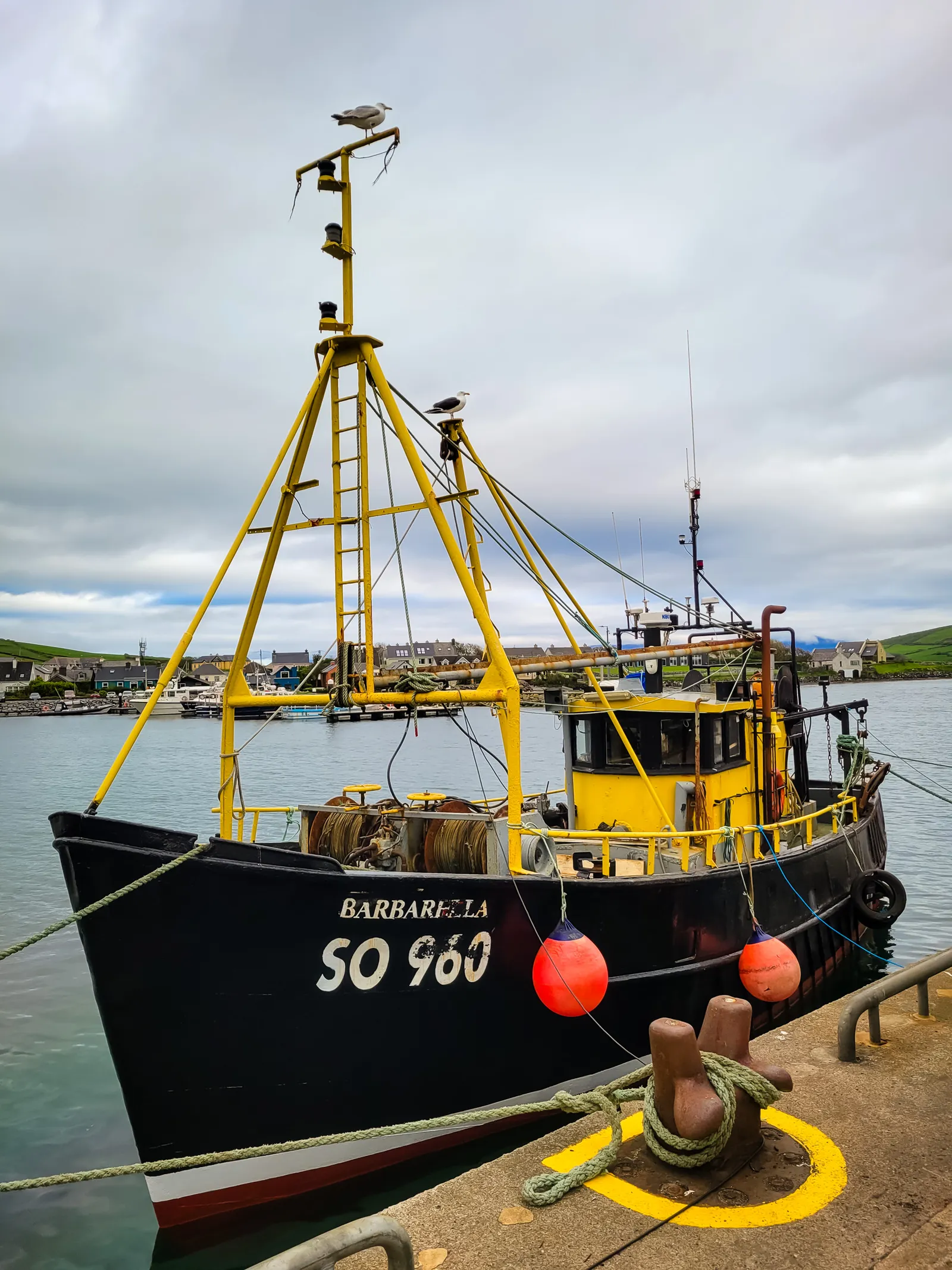
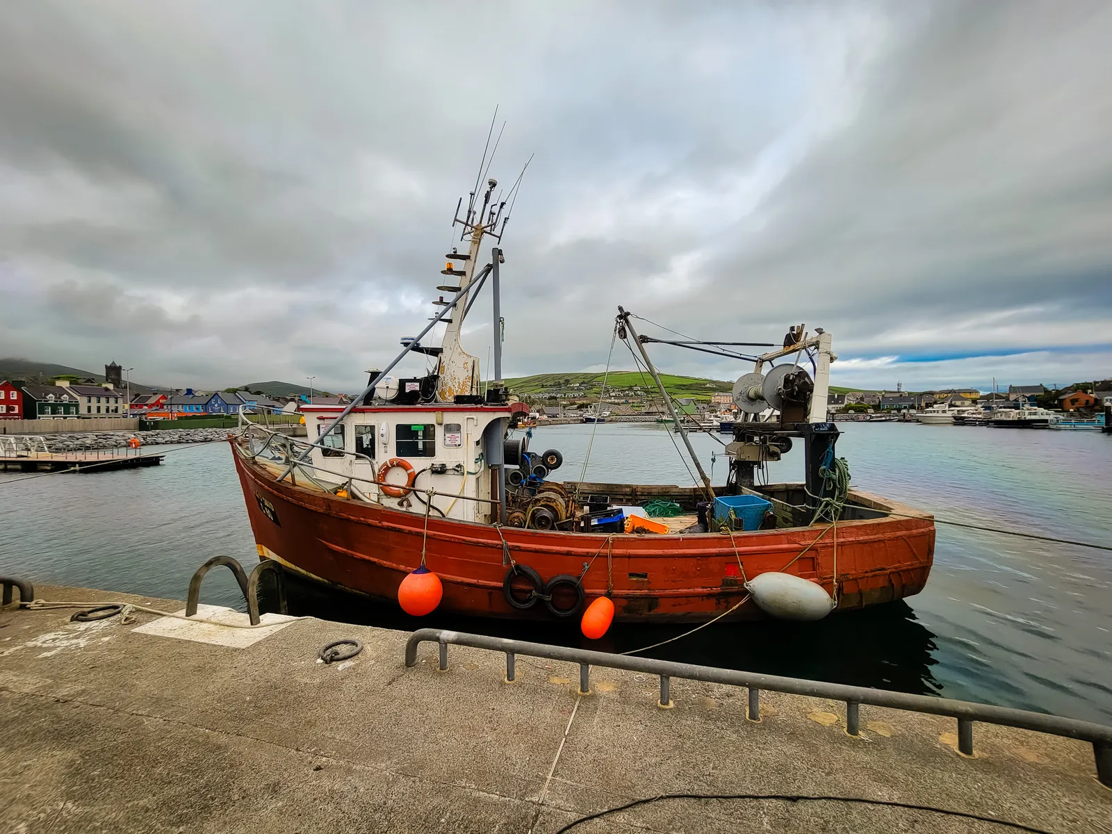
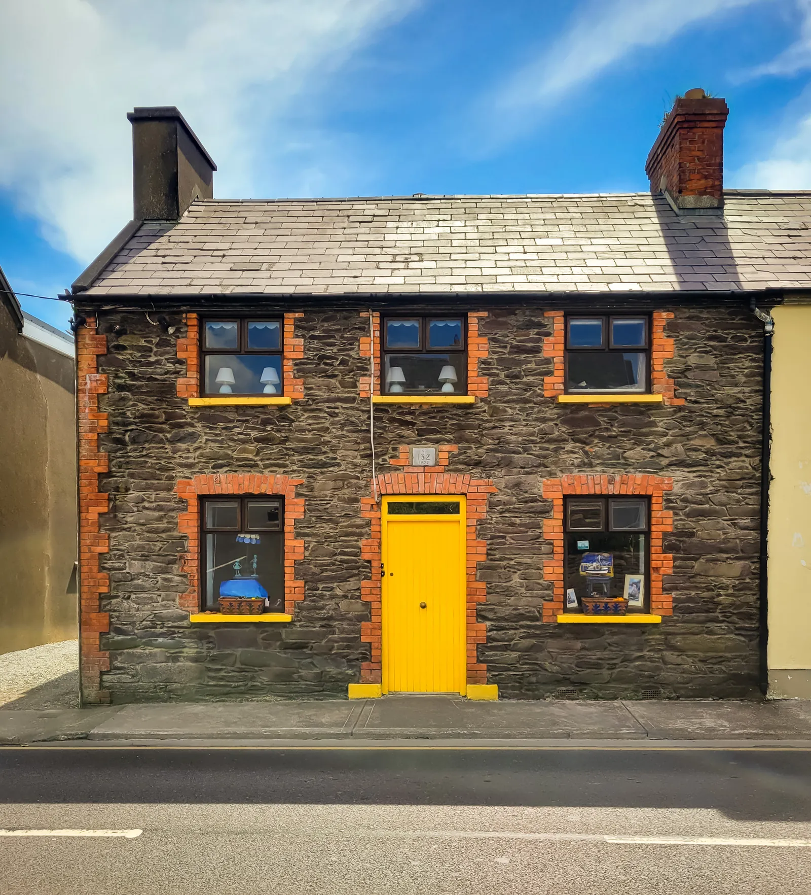
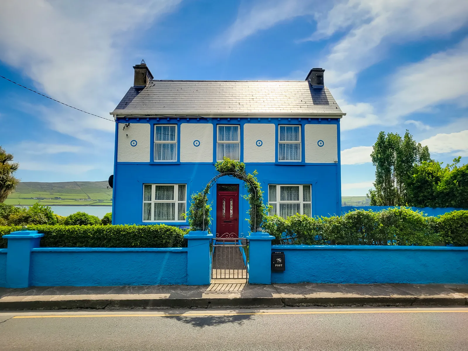
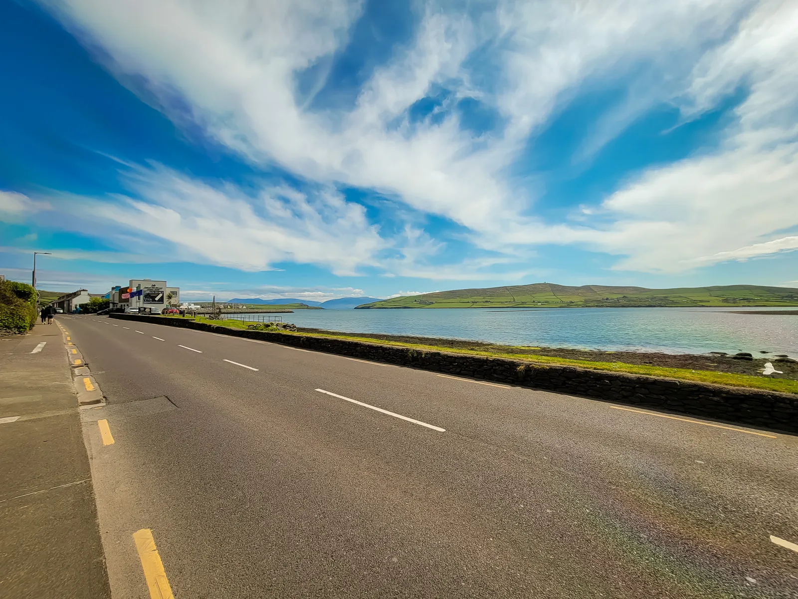
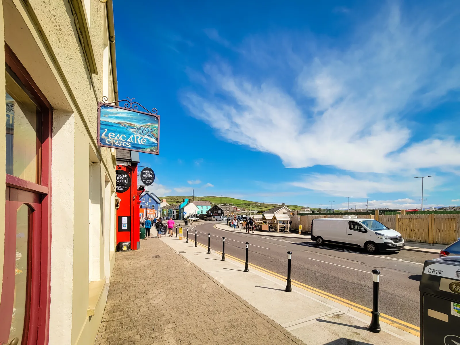
- Location: Dingle Peninsula, County Kerry
- Driving Time: Approximately 1 hour to 1 hour 15 minutes from Killarney
- Time Needed: Dingle is beautiful and deserves at least one full day; however, it is a popular base for 2–3 days to explore both the town and the peninsula
- Best Time to Visit: Summer or late spring for the best weather and long daylight hours
- Drive Slea Head clockwise: It is essential (and often required by local signage) to drive clockwise to follow the flow of tour buses and avoid dangerous head-on encounters on narrow cliff sections
- Start the loop early: Aim to be on the road by 9:00 AM to stay ahead of the tour buses that typically arrive from Killarney after 11:00 AM
- Allow 3.5–5+ hours for the loop: While the drive itself is short, you will want ample time for photo stops and exploring ancient sites
- Turn off your sat nav on Slea Head: Follow local road signs instead; GPS often routes drivers onto unsuitable, private, or impassable farm roads
- Expect very narrow, single-lane stretches: Be prepared to use lay-bys (pull-off areas) and yield to oncoming local traffic or livestock
- Dunquin Pier (Dún Chaoin): The path is extremely steep and can be slippery; sturdy shoes are essential if you plan to walk down
- Have some cash with you: You may come across local artists selling engraved Ogham stones or small shops that do not accept cards
- Parking in Dingle: Space is very limited during peak season; arrive early or use the designated car parks on the outskirts of the town center to avoid congestion
- Must-See Slea Head Stops: Plan time for the Fahan Beehive Huts (ancient stone dwellings), Gallarus Oratory (a perfectly preserved 7th-century church), and the Dingle Sheepdogs demonstration near Ventry to see border collies herding on the cliffs
The decent of freight & costal crossing
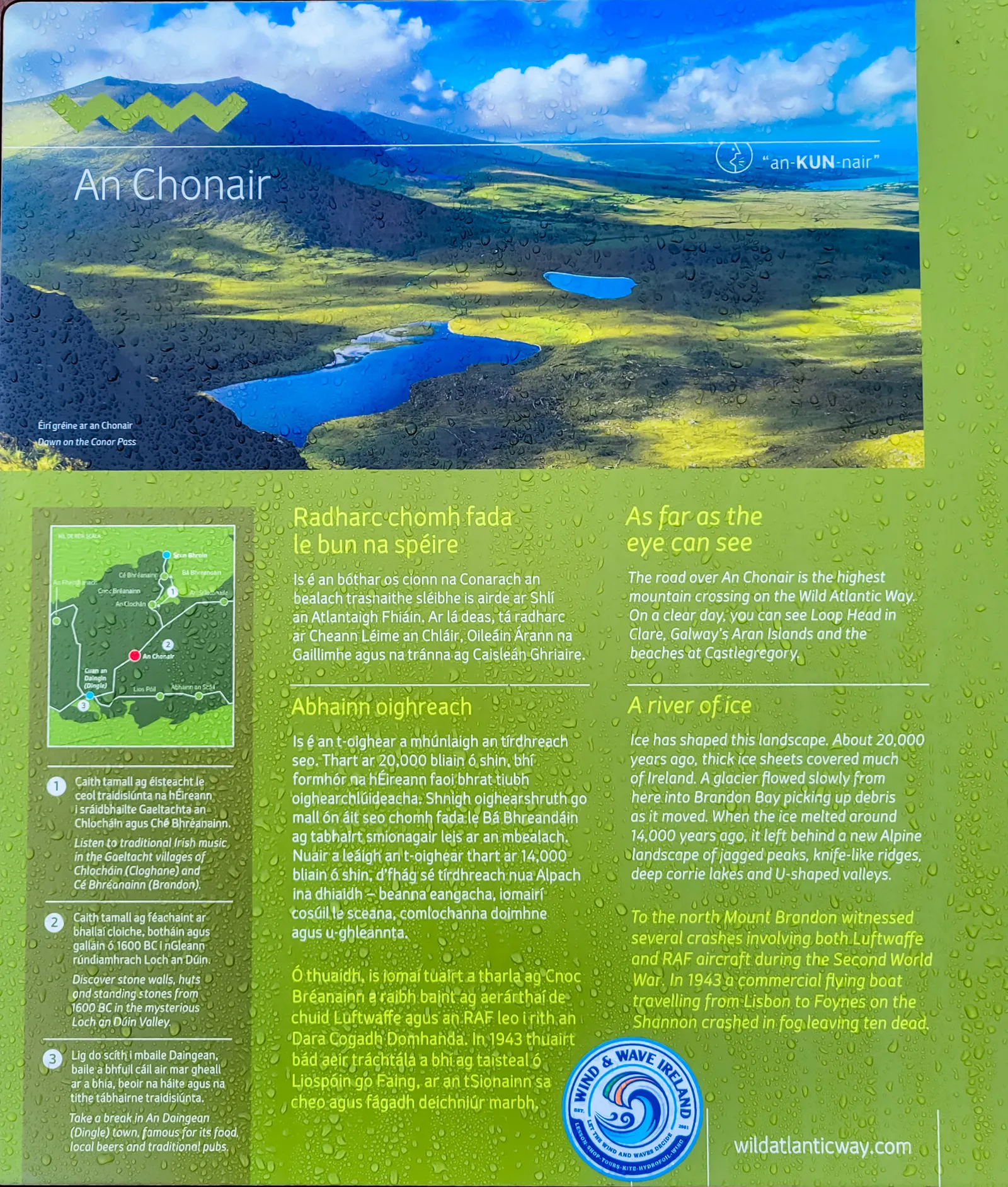
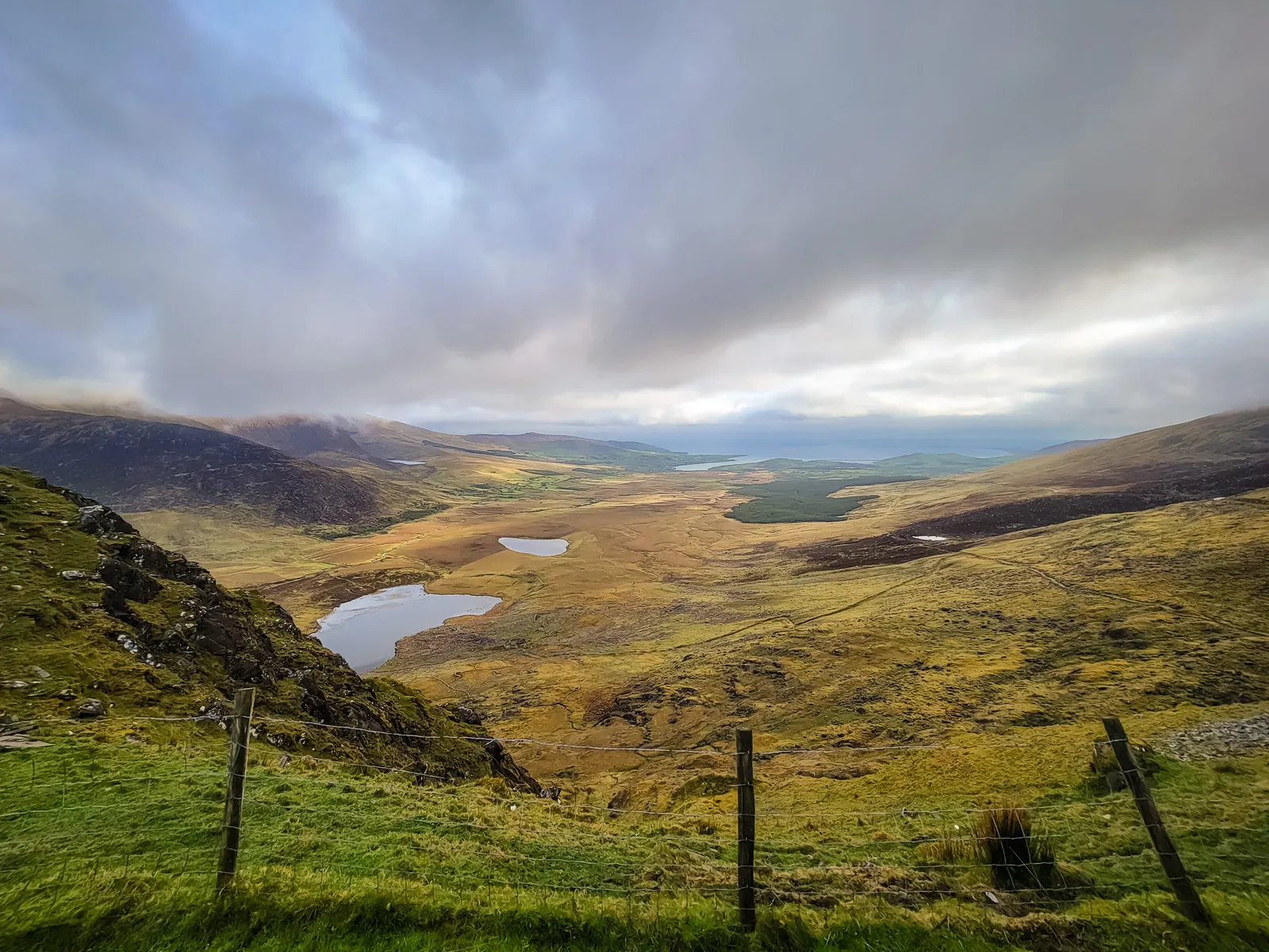
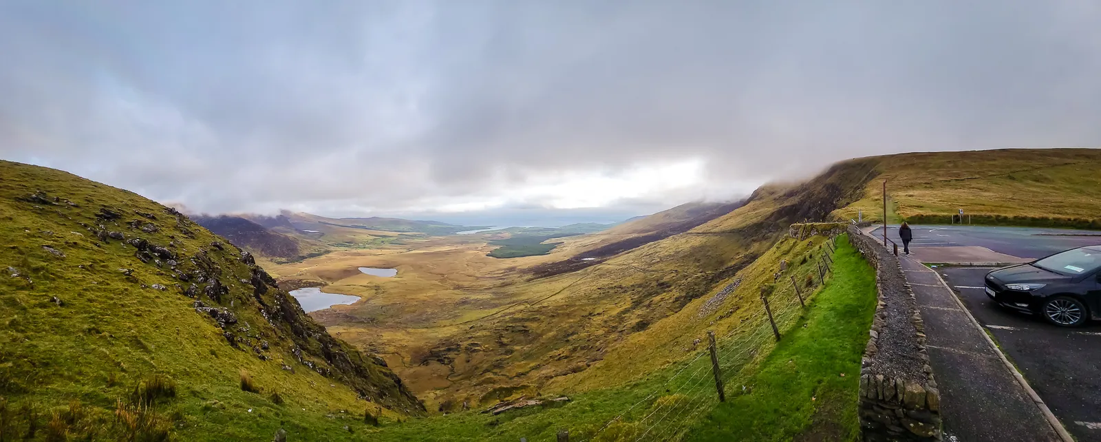
Leaving Dingle behind, we set off toward Galway, planning a stop at the Cliffs of Moher along the way. We chose the scenic route over the legendary Conor Pass, and once you drive the R560, it feels less like a road and more like an adventure, winding through the steep cliffs and glacial valleys as it narrows to a single lane clinging to the mountainside.
Before beginning the descent, we pulled into the overlook for one last sweeping view of Dingle and its surrounding bays, watching cars below navigate the tightest stretch and silently wondering who would yield when two met head-on. After a few nervous laughs and a deep breath, we joined them, fully aware that this rugged, dramatic stretch of the Wild Atlantic Way was the kind of experience that stays with you long after the drive is over.
It's not the fastest route from Dingle to Galway, but it's easily the most dramatic, a white-knuckle, heart-stealing road that rewards every ounce of courage with unforgettable views. Proudly having conquered it ourselves, we continued north to catch the ferry from Tarbert to Killimer, then drove onward to our next destination: the iconic Cliffs of Moher.
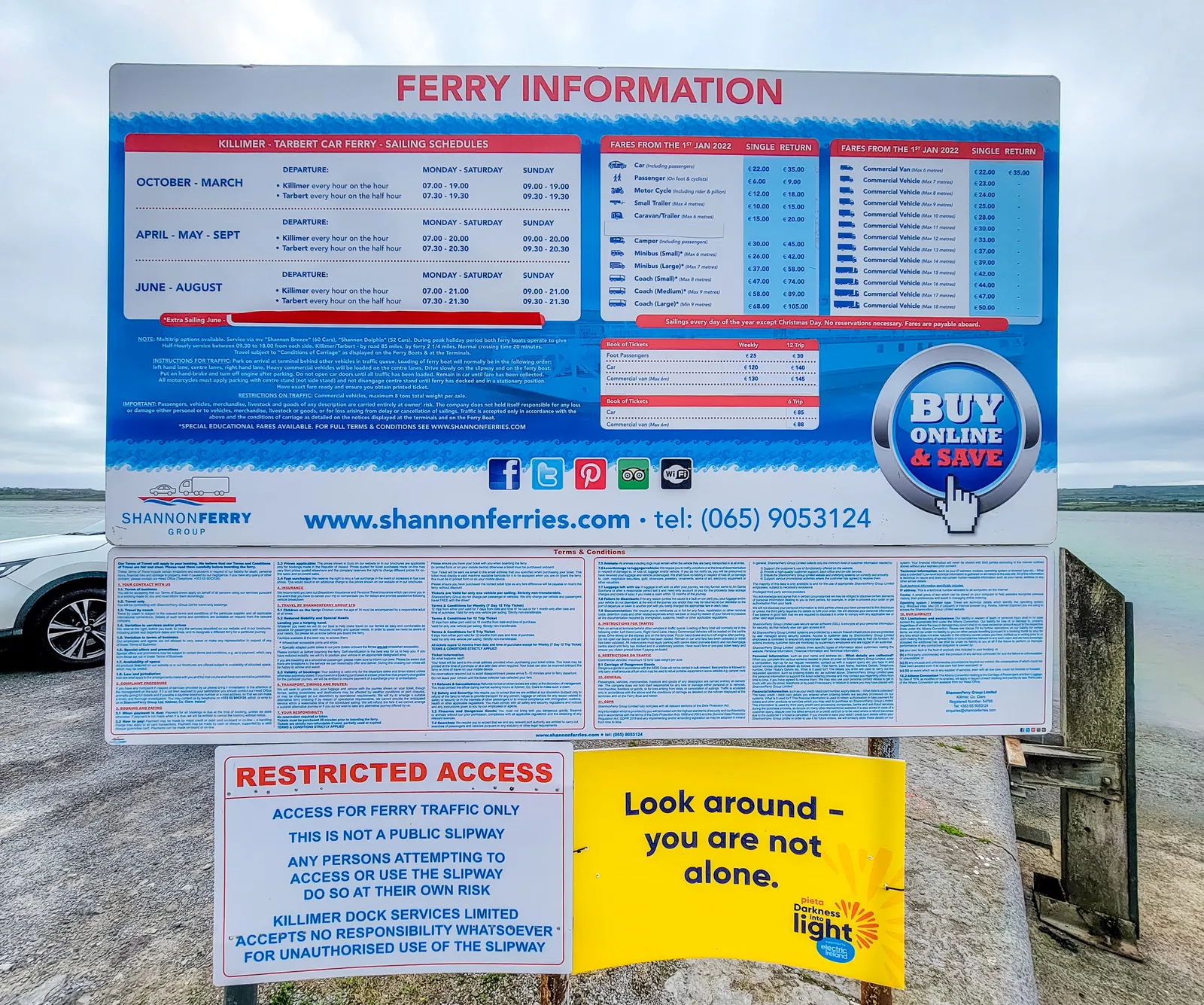
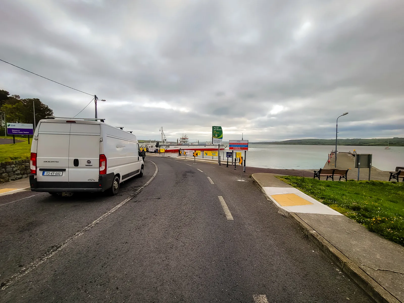
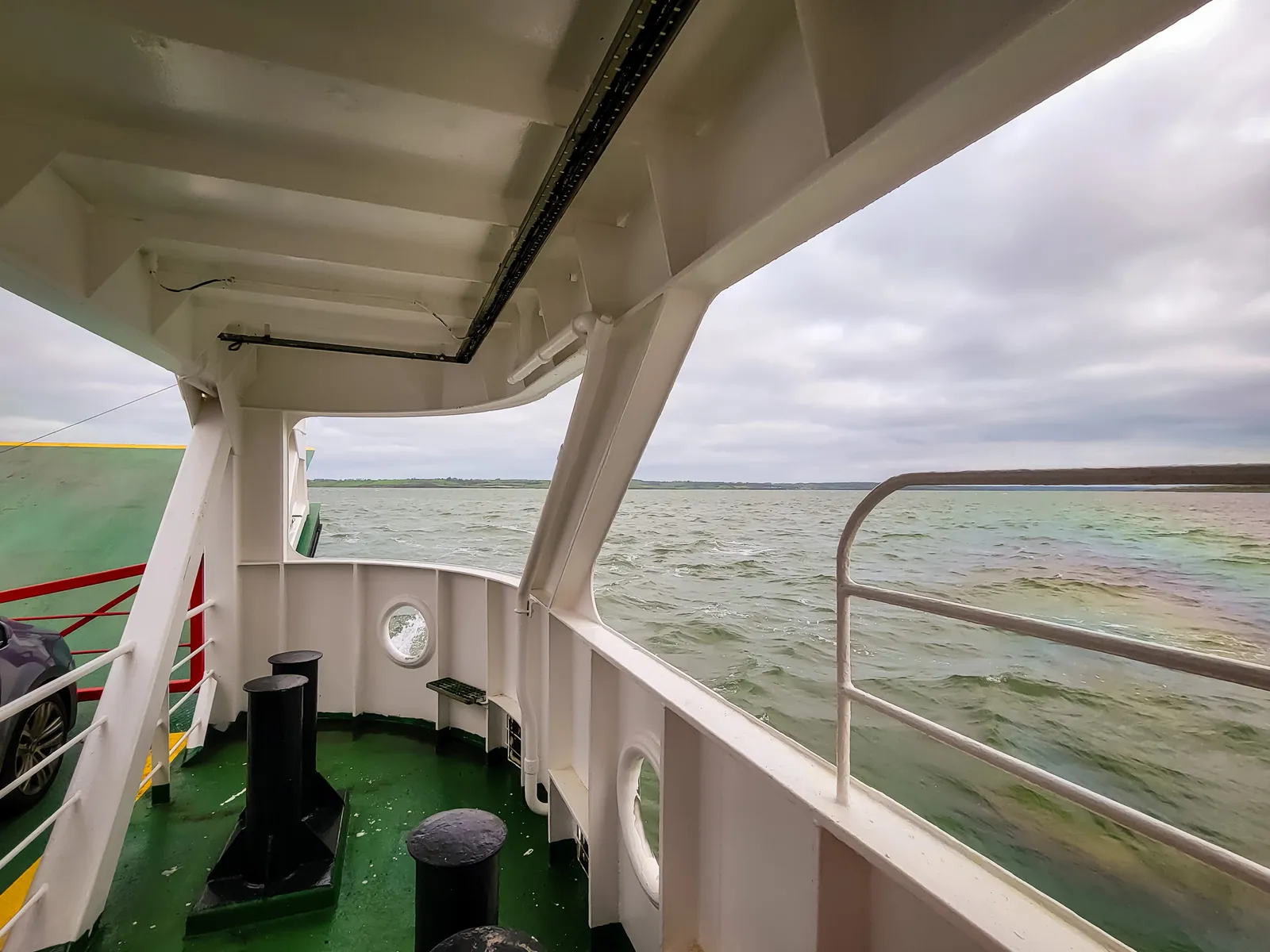
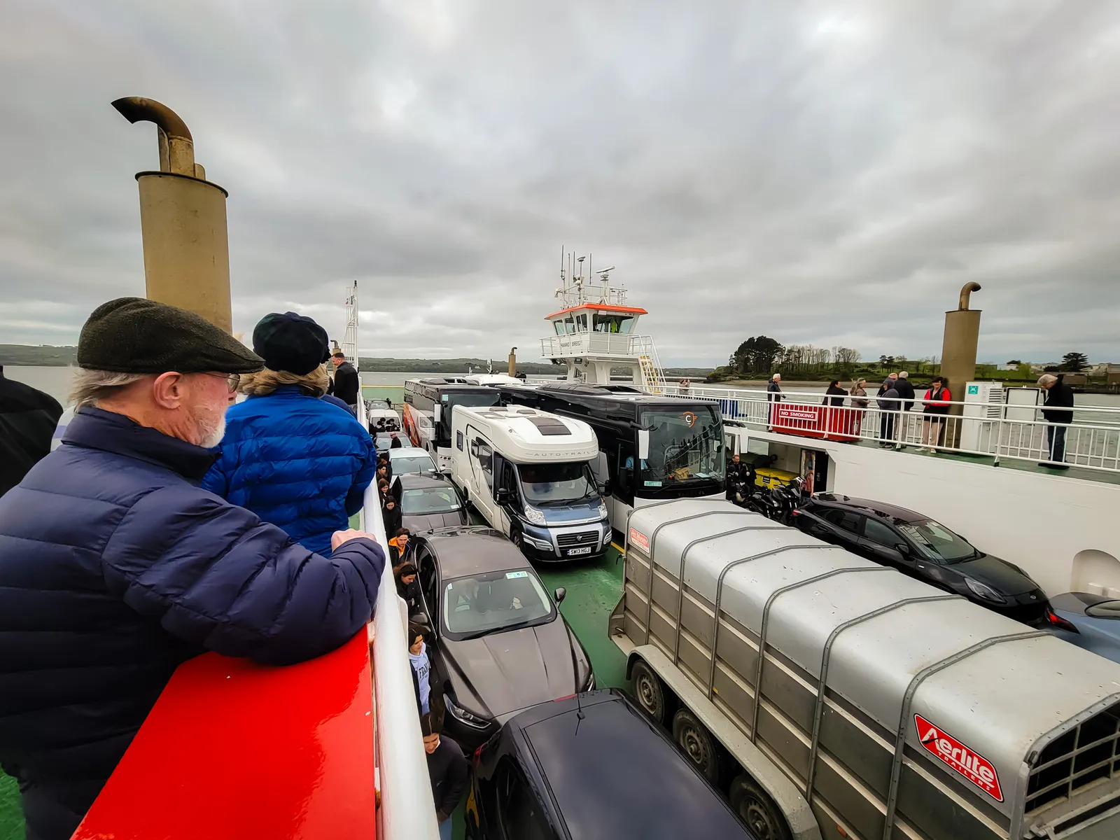
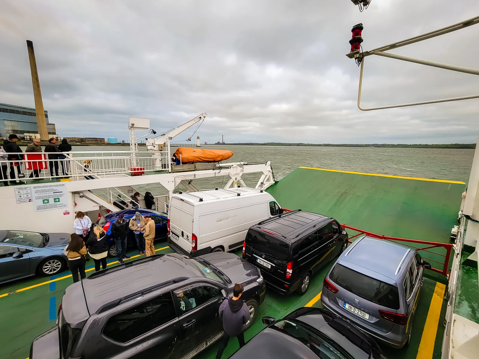
Instead of looping back inland, we opted for the Shannon Ferry, a short but scenic crossing that connects County Kerry to County Clare. It's a relaxing break from driving and a fun way to experience the coastline from the water.
We drove onto the ferry, parked, and stepped out to enjoy the views. The crossing is smooth and peaceful, with seabirds overhead and fishing boats passing in the distance. In just a few minutes, you're back on the road, refreshed and ready for the next leg of the journey toward Galway.
Note to future travelers taking the ferry: Don't pull up in front of tour buses while waiting for the ferry to load. We made that mistake and got barked at by the driver, a stereotypical old Irish guy, the kind you imagine eats nails for breakfast: "You can't cut the queue!"
Turns out tour buses get priority loading on ferries (they check in an hour before departure versus 30 minutes for regular vehicles), so they're rightfully protective of their spot in line. Lesson learned the hard way – stay behind the tour buses and wait your turn!
Nine miles of cliffs & Atlantic wind
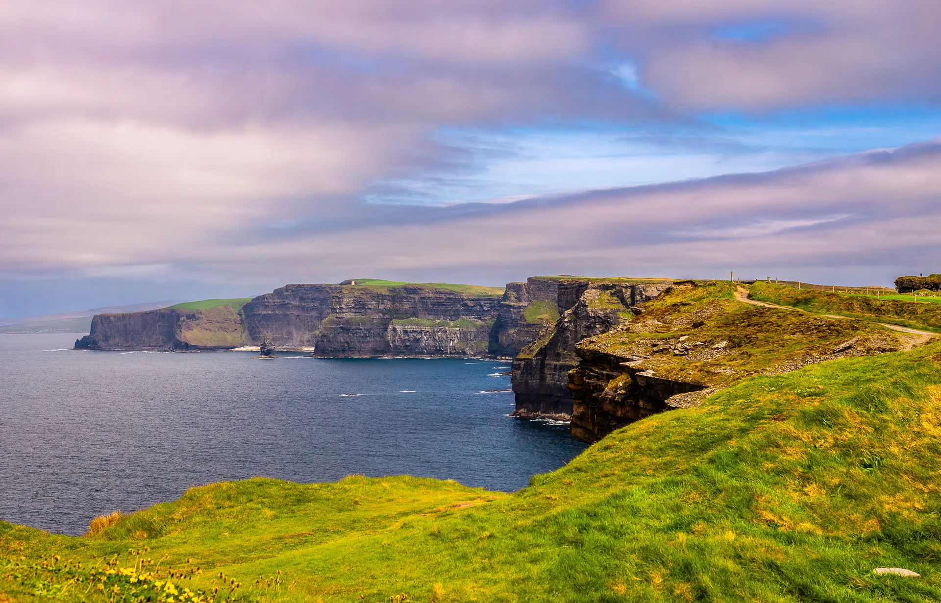
After crossing into County Clare, we continued north toward one of Ireland's most iconic natural landmarks, the Cliffs of Moher, part of the Burren & Cliffs of Moher UNESCO Global Geopark. Even if you've seen photos a hundred times, nothing prepares you for the moment the cliffs come into view. Towering above the Atlantic Ocean, stretching for miles, and constantly battered by wind and waves, the Cliffs of Moher feel raw, powerful, and unmistakably Irish.
Parking the car and walking toward the visitor center, it was clear we were about to experience something truly special. The views open up in every direction: to the north, O'Brien's Tower, a 19th century lookout, perches on the cliff edge; to the south, the cliffs curve dramatically toward Hag's Head. On a clear day, you can spot the Aran Islands far out on the horizon.
From here, we had two choices: a short, easy 1-mile walk to O'Brien's Tower or a longer 3.75-mile trek to the southern viewpoint at Hag's Head.
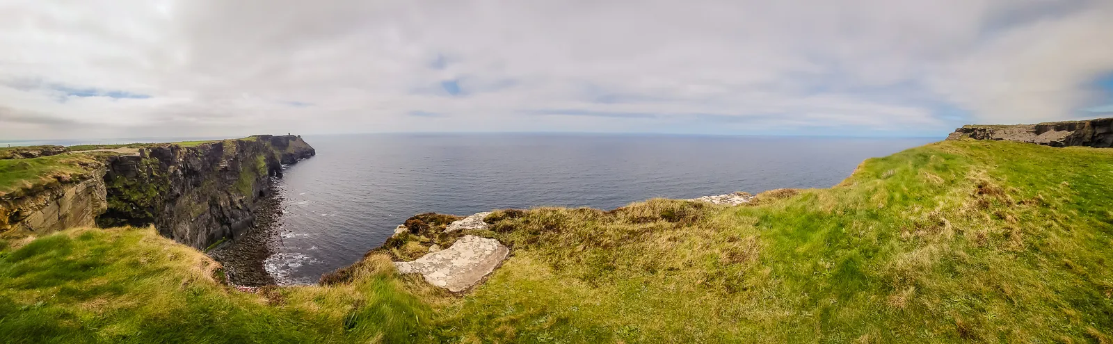
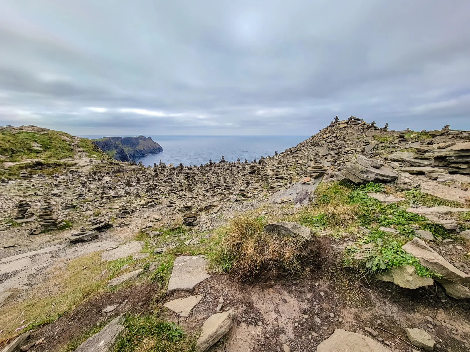
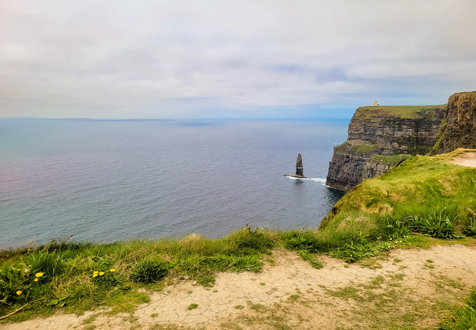
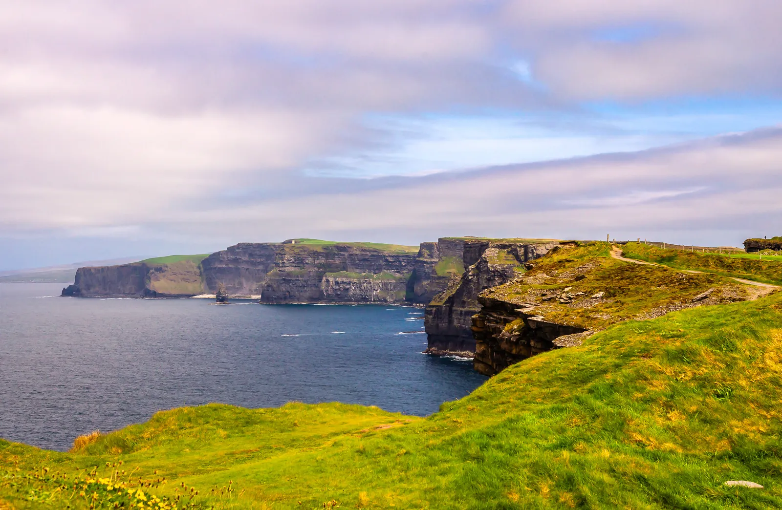
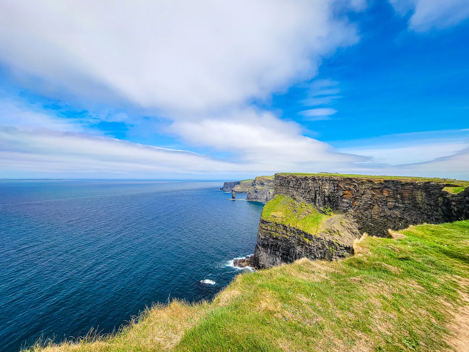
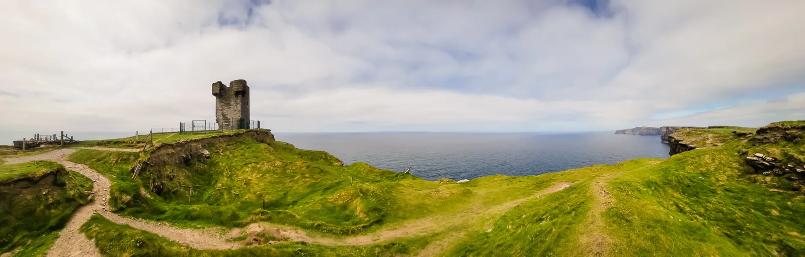
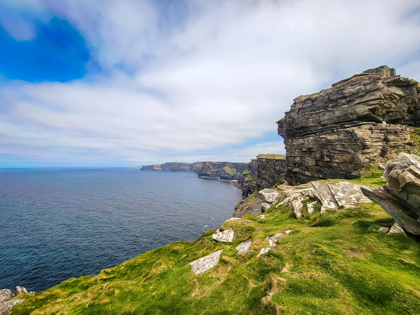
We chose Hag's Head for our hike because it's farther from the visitor center and far less crowded than the northern viewpoints. With only a handful of hikers along the trail, we could hear the Atlantic crashing against the cliffs below and feel the wind from every direction.
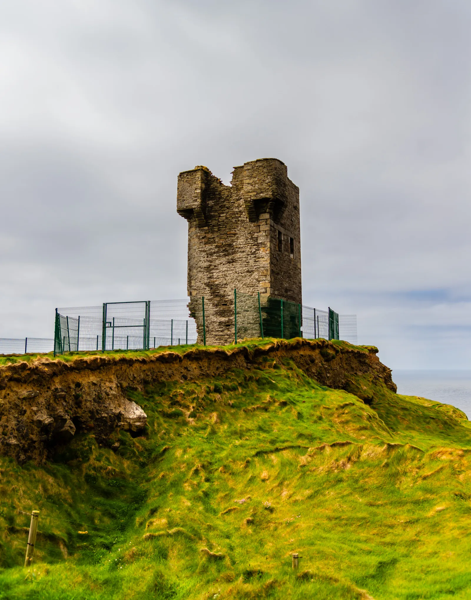
Hag's Head marks the southern end of the Cliffs of Moher, offering sweeping views and a sense of solitude that's hard to find elsewhere. The rock formation is said to resemble the profile of an old woman. I couldn't quite see it, but the cliffs reveal plenty of other dramatic shapes sculpted by centuries of Atlantic wind and waves.
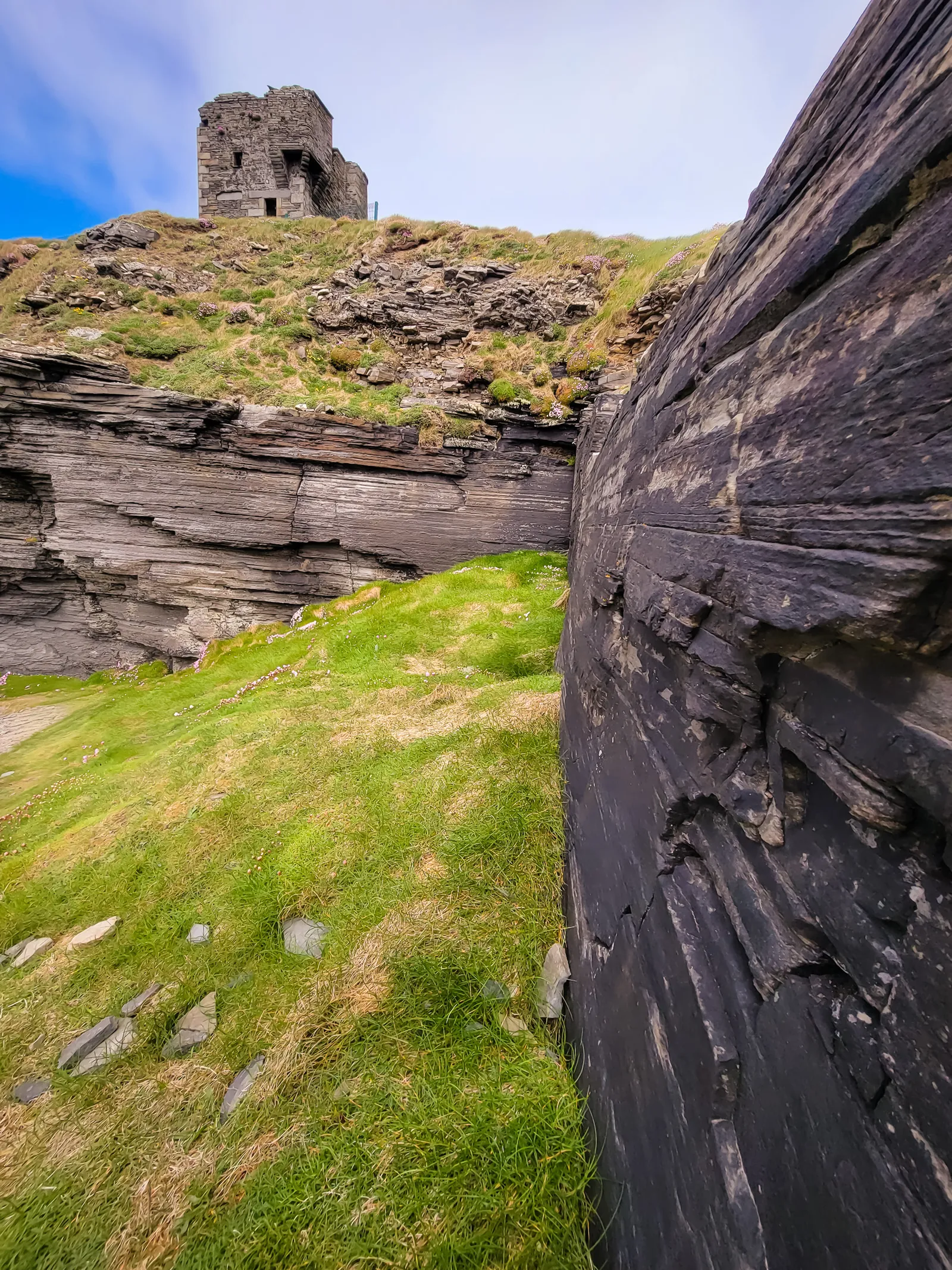
The site is also rich in history. It was once home to an ancient fort called Mothar, or Moher, meaning "ruined fort" in Old Irish. During the Napoleonic Wars, its stones were used to build Moher Tower in 1808. While the northern cliffs were later developed with walkways and O'Brien's Tower, the southern stretch toward Hag's Head has remained rugged and largely untouched.
Harry Potter fans may recognize the cliffs from Harry Potter and the Half-Blood Prince, where CGI blended Hag's Head and nearby Lemon Rock to create the Horcrux cave.
The official trails are well maintained, and the Cliffs of Moher Coastal Trail stretches for miles along the cliff edge. Even a short walk rewards you with spectacular views, crashing waves, and the quiet beauty that makes this corner of Ireland feel almost mythical.
Here's a short video from our visit, it gives a real sense of the place. Hag's Head | Southern Watchpoint
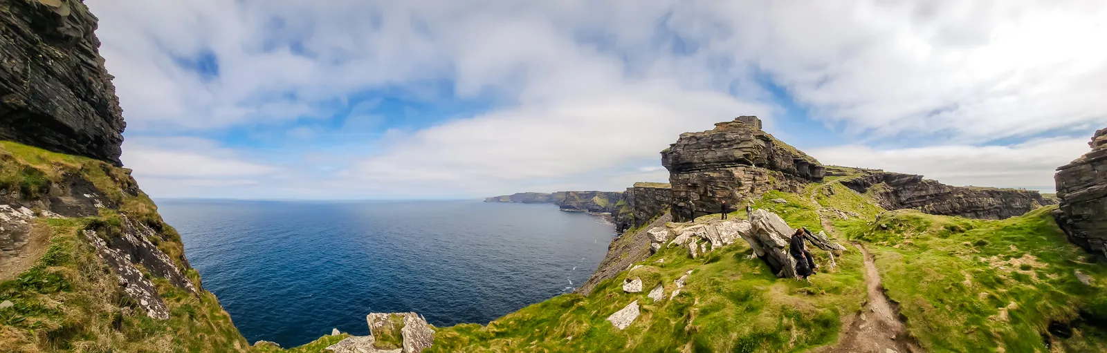
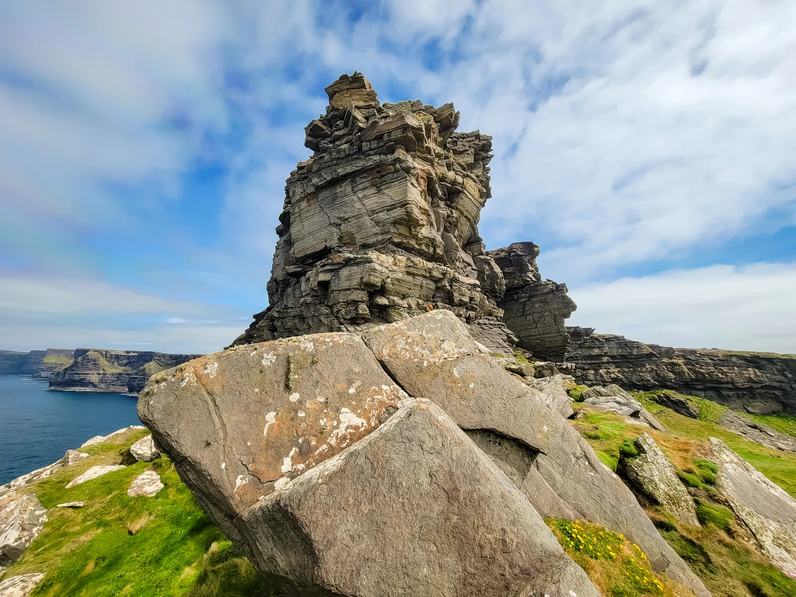
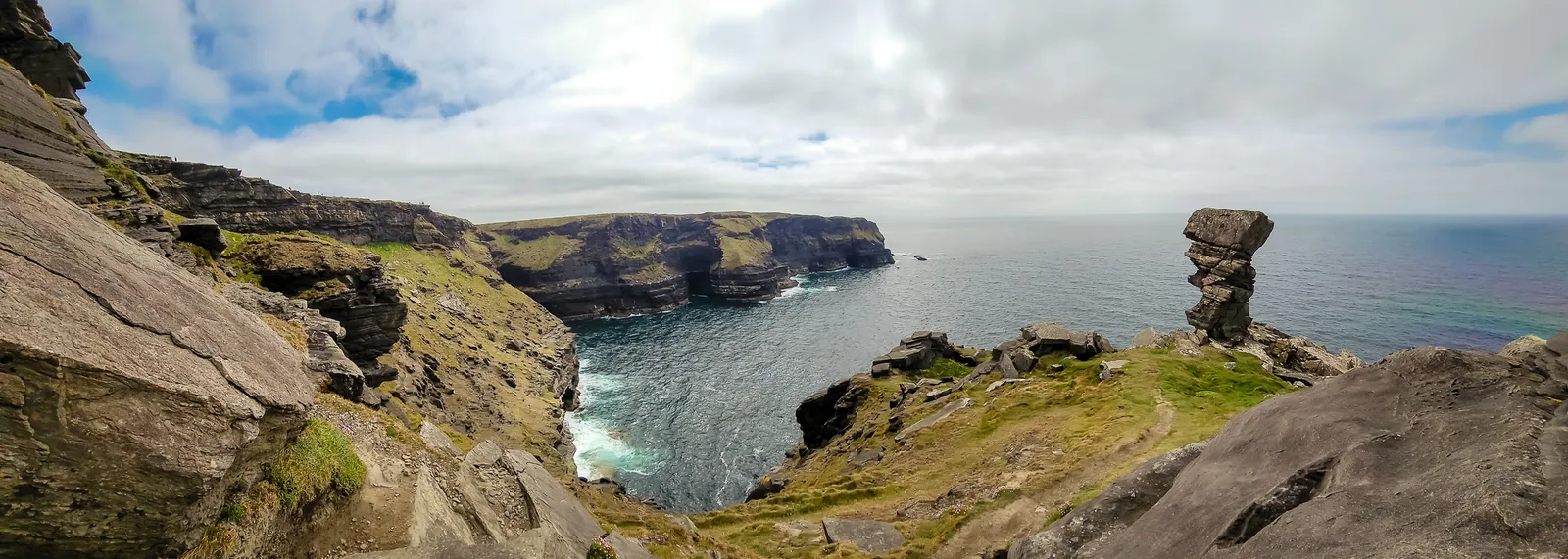
Watch this part of the journey
- Parking: Large paid lot at the visitor center makes access easy.
- Time Needed: Plan 1–2 hours for the main viewpoints; longer if you explore part of the coastal trail.
- Best Time to Visit: Early morning or late afternoon for softer light and fewer crowds.
- Weather: Windy year-round; bring a jacket and be ready for rapidly changing conditions.
- Coastal Trail: Offers quieter viewpoints and a more immersive experience away from the crowds.
- O'Brien's Tower: Built in 1835, it provides elevated views for a small additional fee.
- Wildlife: Home to thousands of seabirds, including puffins in spring and early summer.
- Scenery: The cliffs stretch ~14 km (8.7 miles) with sheer drops up to 702 feet (214 meters).
- Safety Tip: Stick to the official paths and barriers, strong winds and sheer drops make the cliffs dangerous if you stray.
- Nearby Stops: Consider a lunch stop in Doolin before heading onward to Galway.
A City of Historic Streets &Culture
I had expected Galway to be a small, quiet town, but it was the complete opposite, it's actually the sixth-largest city on the island of Ireland, with about 85,910 residents in 2022. Driving in presented some challenges: busy traffic navigated by locals with a clear home-field advantage, and finding our hotel's designated public car park. After some frustration and a couple of loops around the square, we made it.
Then we unpacked our luggage and walked about 3 blocks to the Eyre Square Hotel, right in the city center near shopping and Eyre Square.
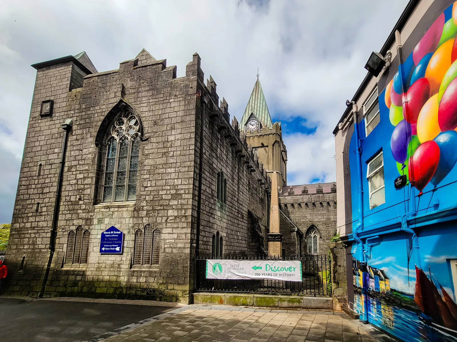
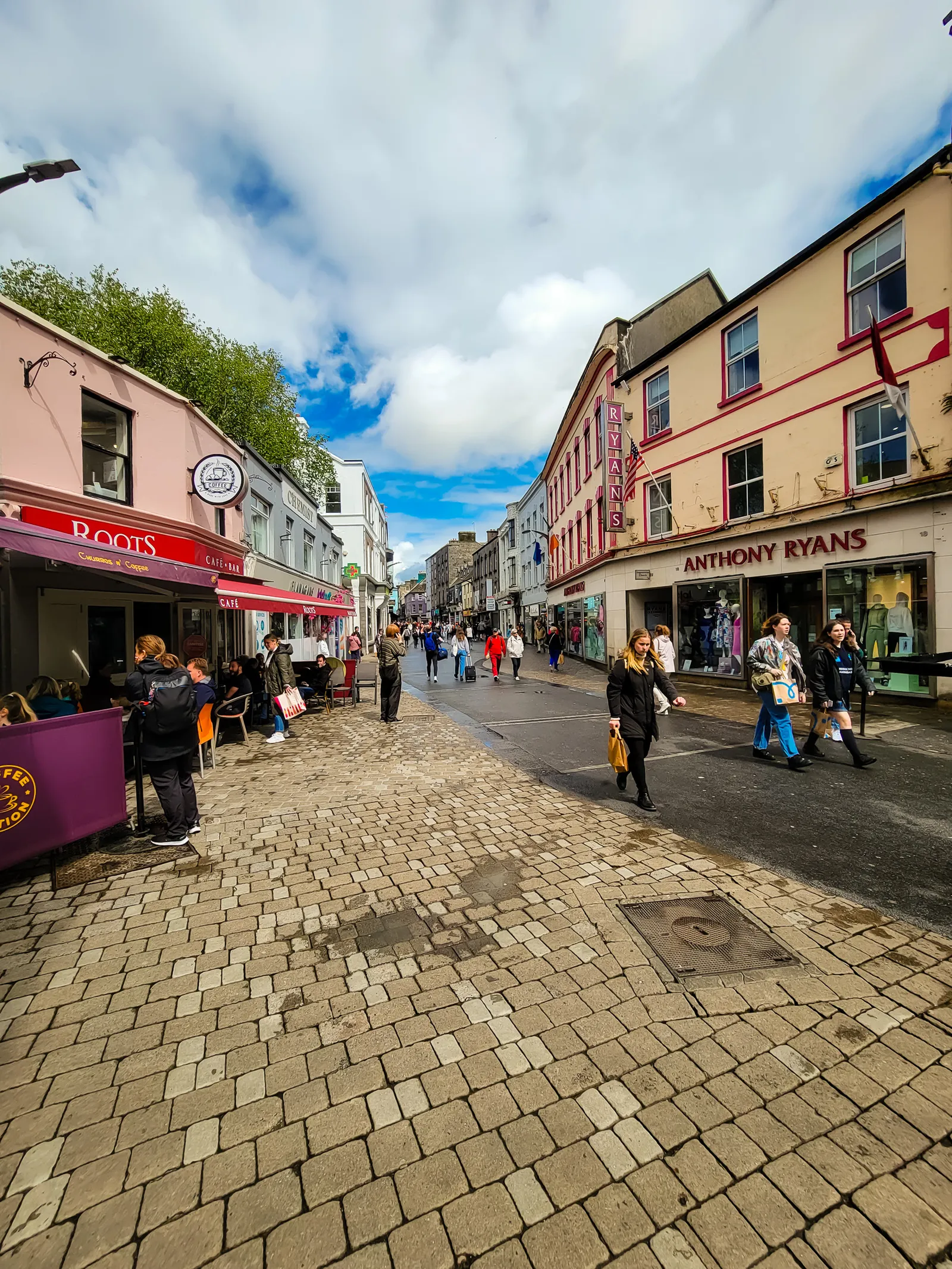
After our driving adventure and settling into our hotel, we wandered toward the Latin Quarter, enjoying the sights and sounds of Galway in the evening. We strolled under the historic Spanish Arch and meandered through the cobblestone streets of the Latin Quarter, taking in the colorful shops, lively pubs, and cheerful street performers along the way.
The real highlight, of course, was stopping at McDonagh's for the best fish and chips in Ireland – yummy! A simple walk with a nice introduction to the city's vibrant charm.
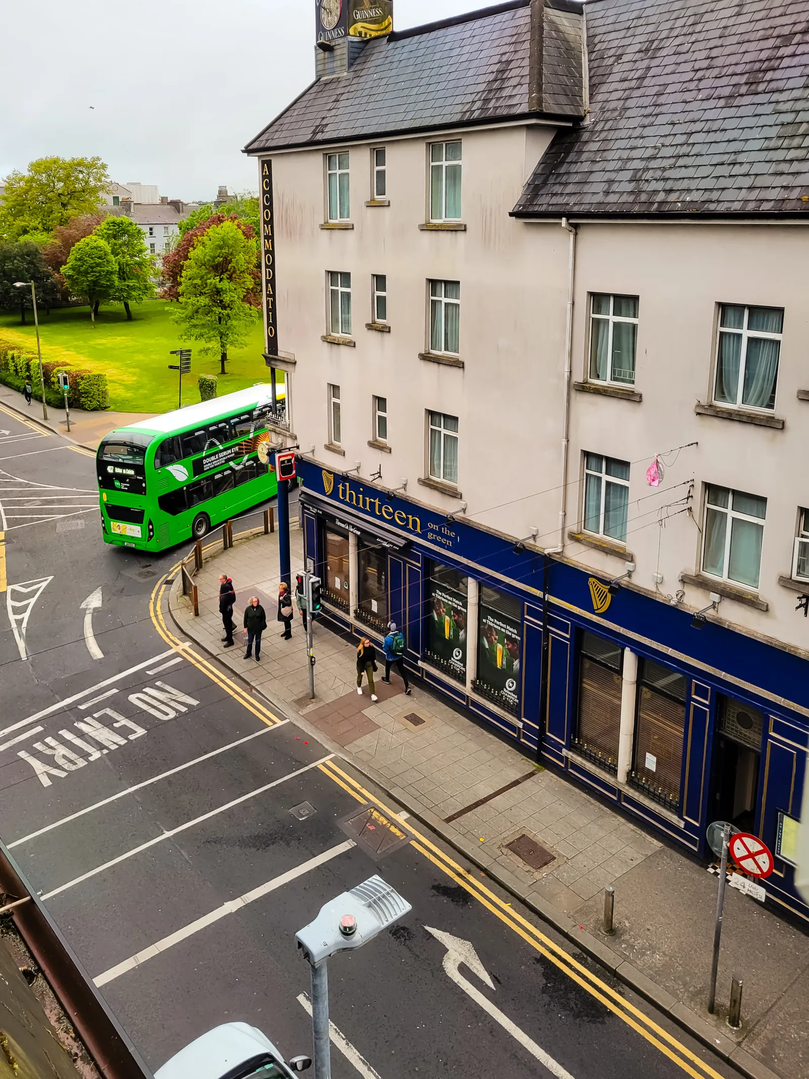
Rough Seas to the Limestone Isle
The next morning, we headed down to the harbor to catch the ferry from Galway to Inis Mór, the largest of the Aran Islands. The crossing takes about 90 minutes, just enough time to settle in, breathe the sea air, and watch the mainland slowly fade behind us. Inis Mór is a rugged limestone island where traditional Irish culture and language are still very much alive, and where dramatic sea cliffs and ancient stone forts dominate the landscape.
After a brisk walk to the terminal, check in, and boarding, we were soon underway. The ferry allows about 4.5 hours on the island, giving visitors time to explore sandy beaches, wander past endless stone walls, and slip into the slower, quieter rhythm of island life.
Highlights include the prehistoric cliff top fort Dún Aonghasa, one of the most striking archaeological sites in Ireland, perched high above the Atlantic.
On the return journey, the ferry passes beneath the Cliffs of Moher, offering a completely different perspective than from land. Rising over 200 meters, the cliffs are even more awe inspiring from the water.
Along the way, we spotted sea stacks like An Bránán Mór, those dramatic vertical rock columns shaped by centuries of coastal erosion and even passed the sea cave featured in Harry Potter and the Half Blood Prince. We also kept our eyes peeled for wildlife, puffins, dolphins, seals, and even basking sharks are known to frequent these waters.
It was the perfect way to experience Ireland's west coast: fresh sea air, dramatic landscapes, rich history, and a sense of calm that stays with you long after you return to shore.
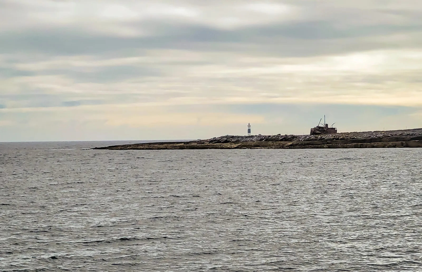
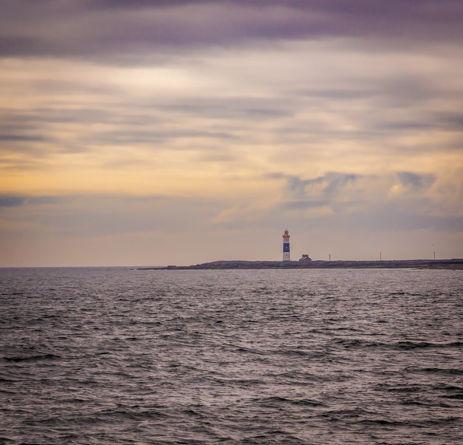
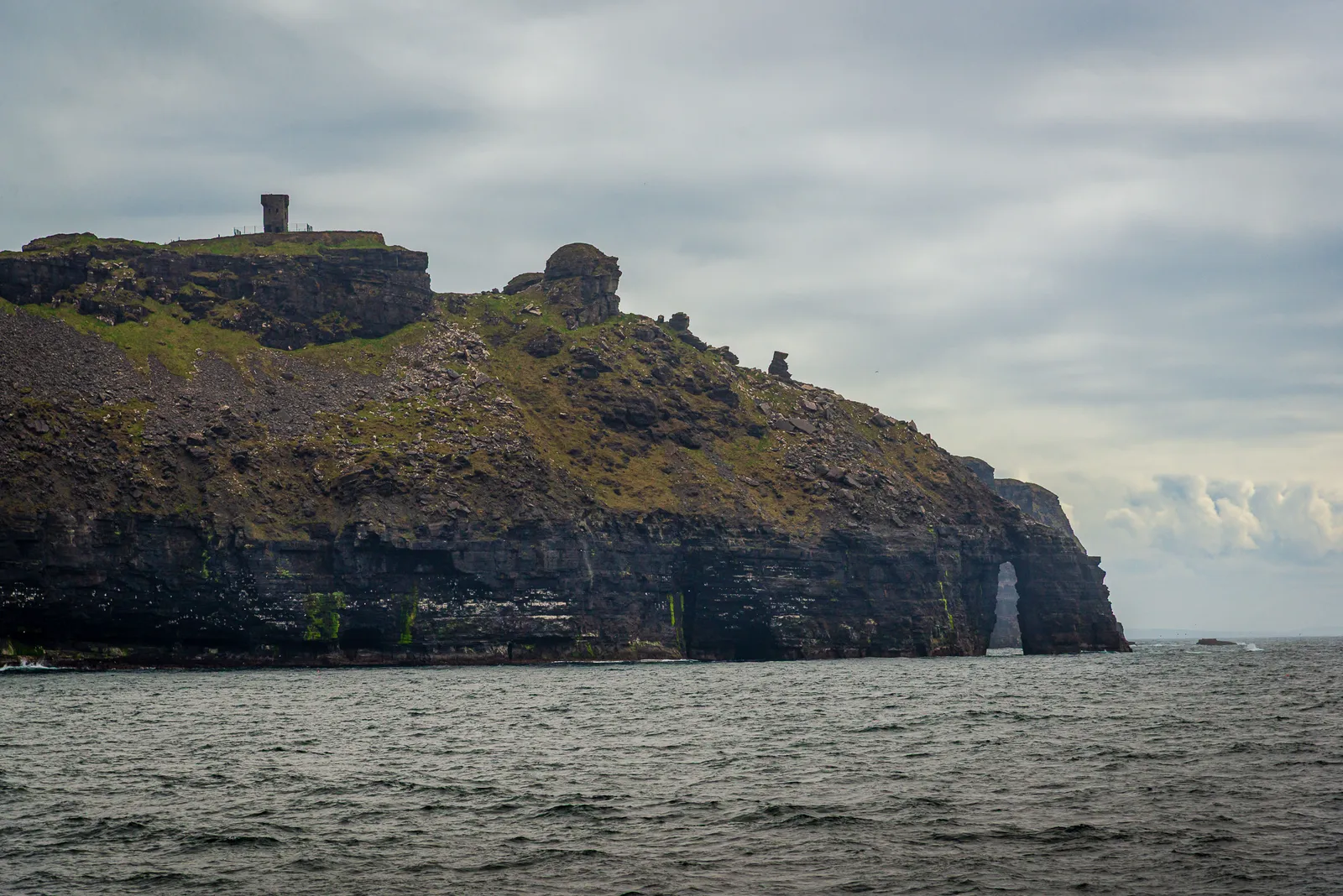
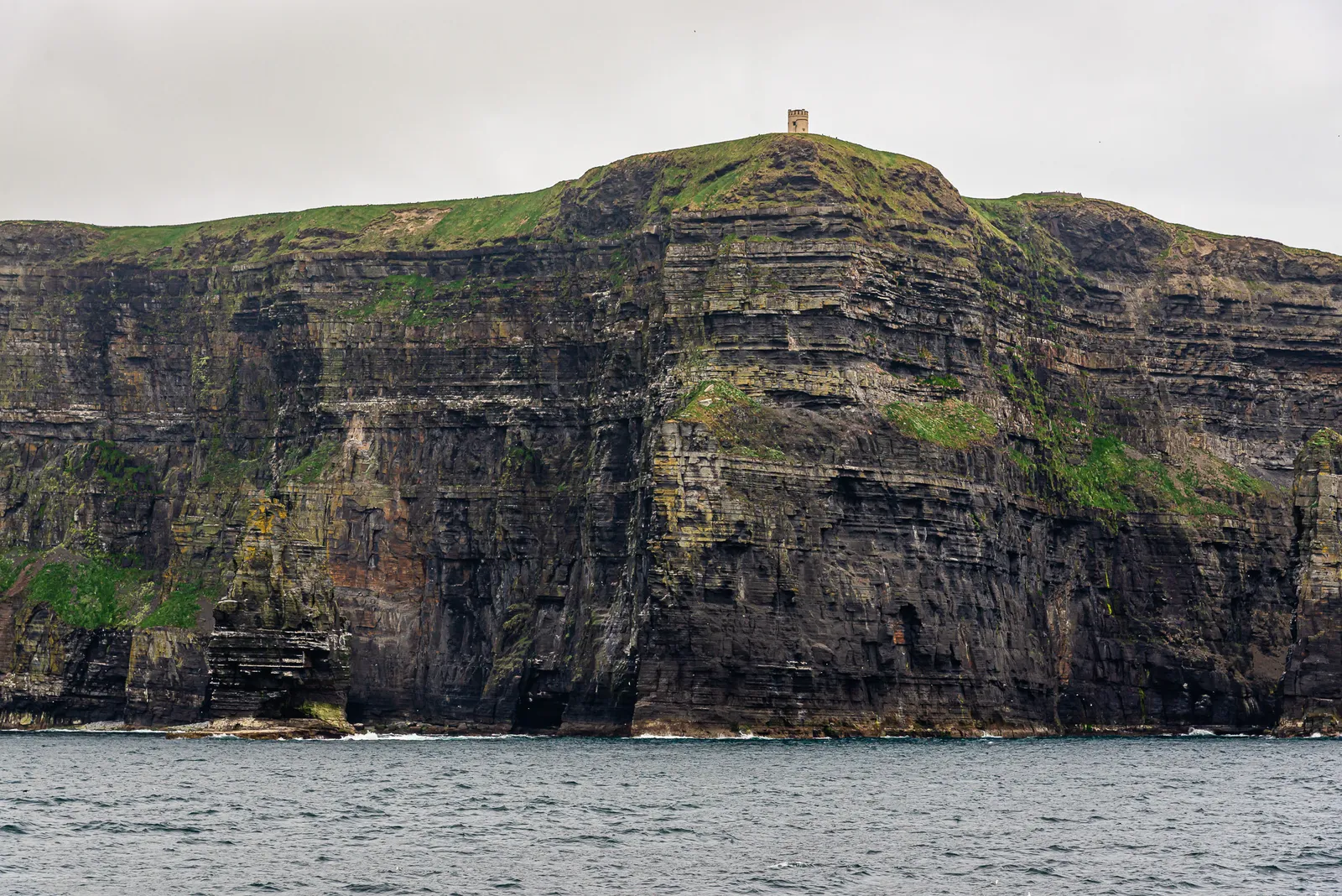
Angie did not handle the sea crossing well, so stepping off the ferry onto solid ground was a relief for both of us. Almost immediately, we were greeted by locals offering bike rentals and they kept suggesting e bikes.
I waved them off with confidence: "Nah, we're good." That confidence lasted about five minutes. Inis Mór is not flat, and Angie reminded me of that fact repeatedly for the rest of the day.
We pedaled off with excitement, enjoying the quiet surroundings and the blessedly flat roads. Our first stop was the Seal Colony Viewpoint, where a handful of seals were bobbing in the water, grooming and drifting with the tide. After watching them for a bit, we hopped back on the bikes with no real plan, just following the paved roads wherever they happened to lead.
Eventually, one of those roads tilted sharply uphill, and we decided to start our trek across the island. It was at this point I knew we should have gotten e bikes.
After pushing the bikes uphill for a while, we reached a crossroads and chose the path that looked the most level and thankfully, slightly downhill. A few minutes of easy cruising later, we rolled right up to Joe Watty's Pub & Seafood Bar. It was the perfect excuse to rest our legs and enjoy a couple of pints.
Refreshed, we set off again, this time aiming toward the southern side of the island.
A short clip from our ride across Inis Mór, one of the best ways to explore the island – Inis Mór by Bike
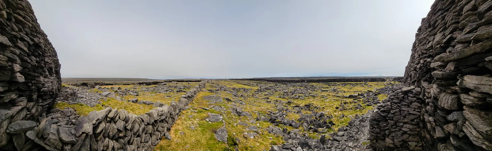
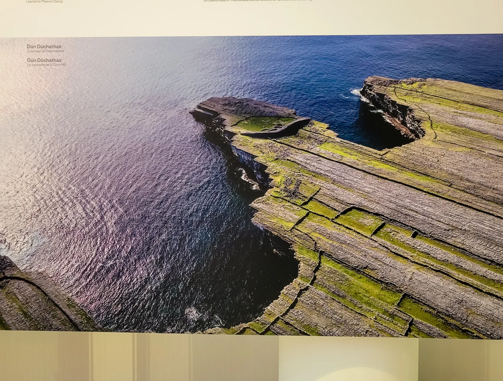
Somehow, we ended up on the road to Dún Dúchathair, the island's wilder, more remote fort. It began as pavement but gradually turned to gravel and eventually little more than rocks and dirt. As we pulled over to let a car pass, I stopped beside a briar bush.
Trying to steady myself, I misjudged my balance and toppled straight into the thorns, bike and all. I yelled, "Angie! Angie!" but got no response. She was completely absorbed watching the car squeeze by. I escaped with a few scratches, a handful of prickles, and a bruised ego.
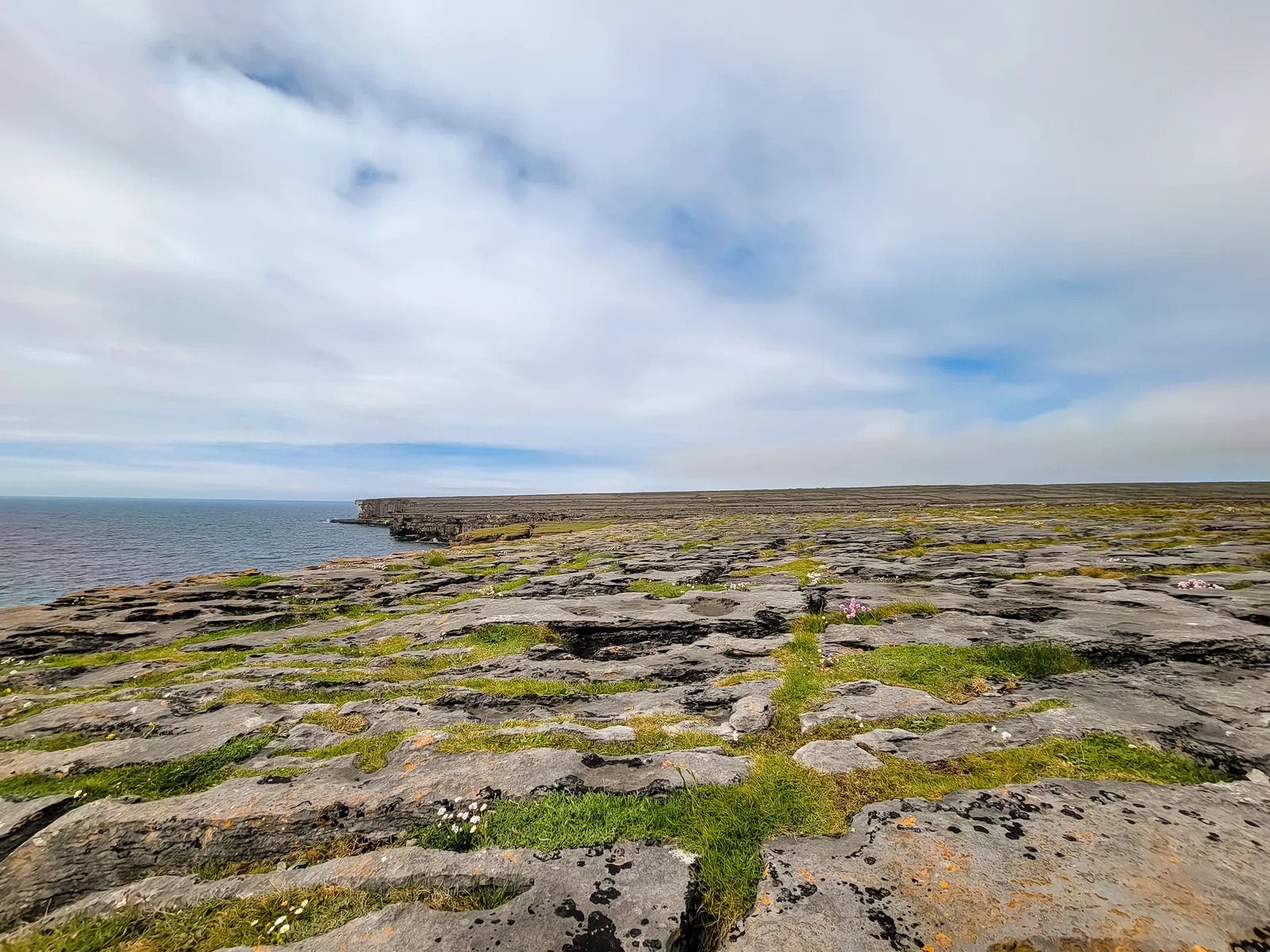
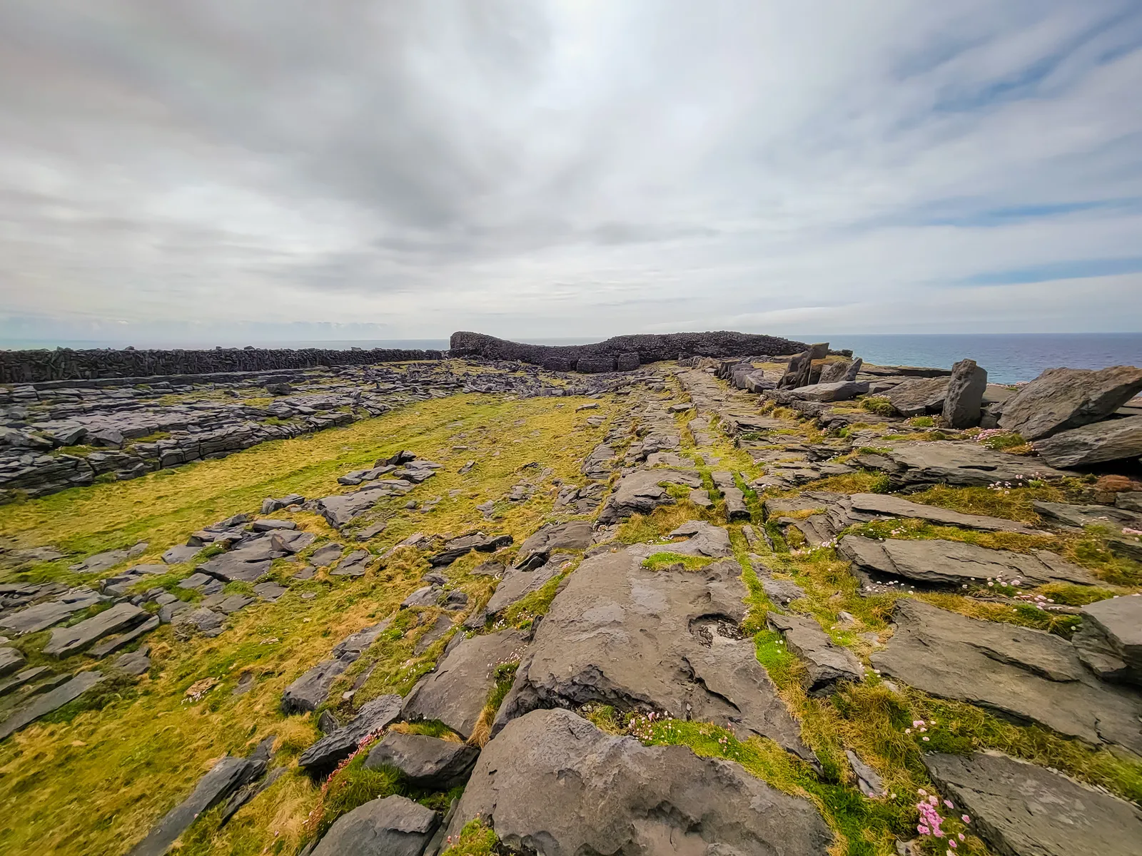
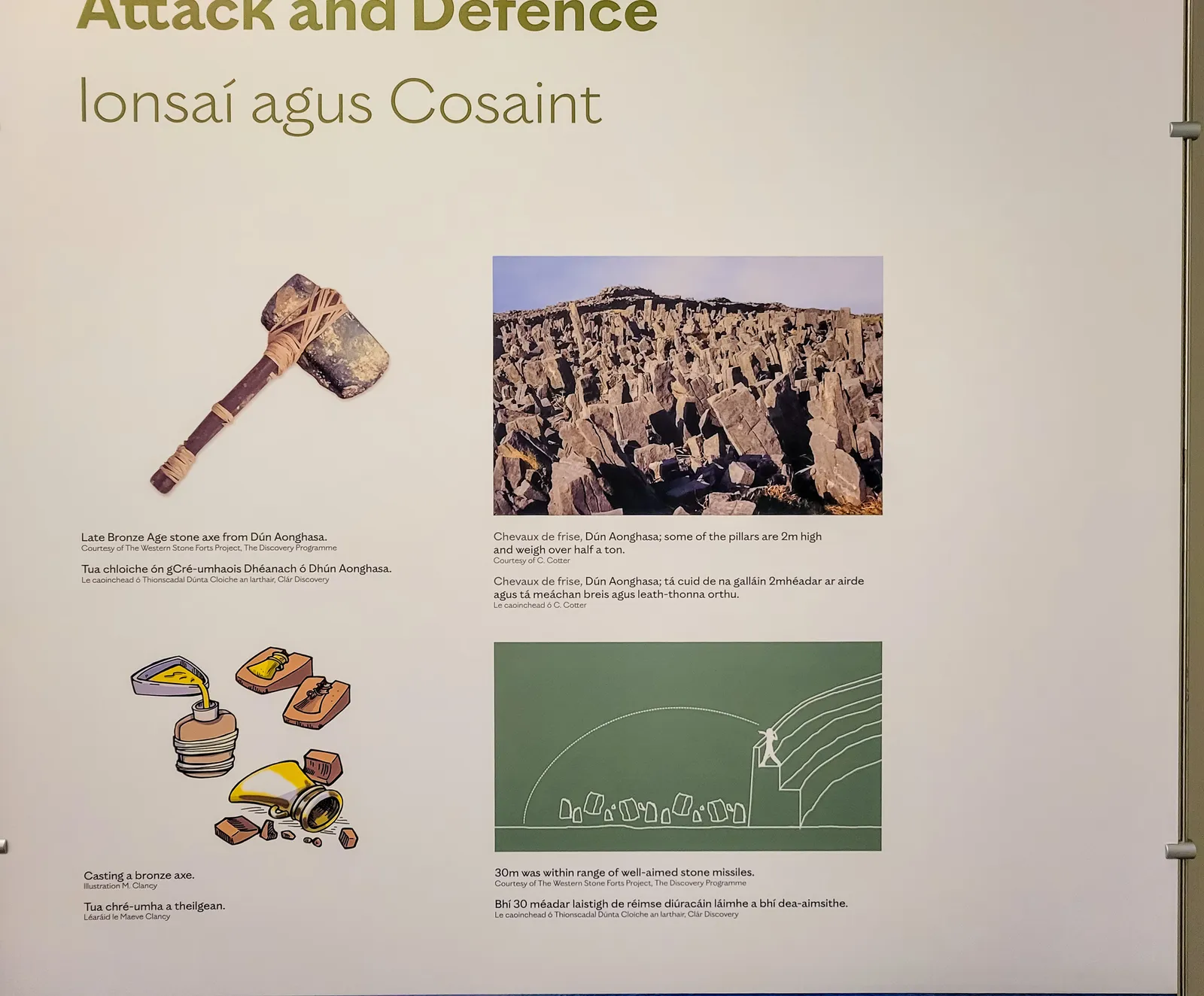
From there, we walked our bikes across the island's famous cheval de frise, a natural maze of sharp limestone slabs once used as a defensive barrier. Every step demanded careful footing and a quiet appreciation that the Atlantic wasn't any closer.
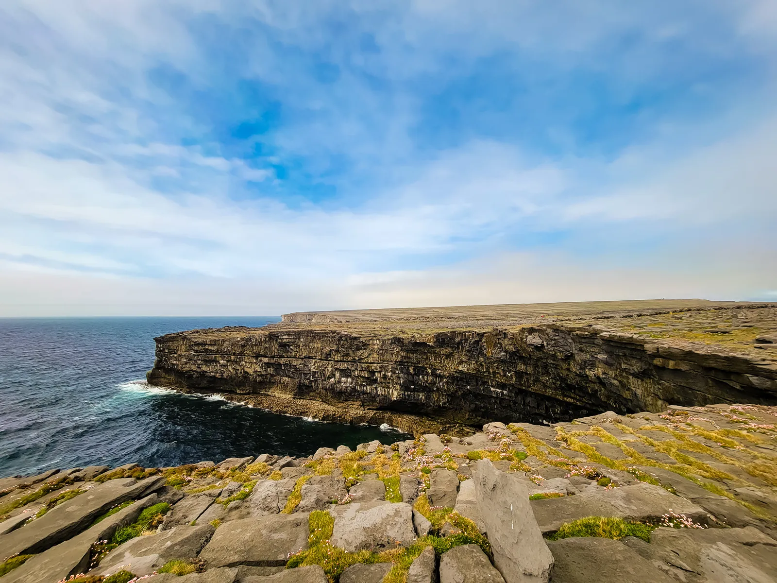
Dún Dúchathair feels almost untouched compared to its better known neighbor, Dún Aonghasa. There are no guardrails or visitor facilities, just a prehistoric fort perched on 100 foot cliffs. We cautiously peered over the edge, butterflies in our stomachs, listening to the Atlantic crashing below and seabirds soaring overhead. It's the kind of place that makes you stop talking without realizing it.
After exploring, we retraced our steps, grateful the ride back was mostly downhill. With time to spare before the ferry, we stopped at the Aran Sweater Market, returned our bikes, and headed to the pier.
Looking back, this was cool excursion and next time we're renting e bikes, without hesitation.
A Short Clip from the Edge of Dún Dúchathair – The Black Fort
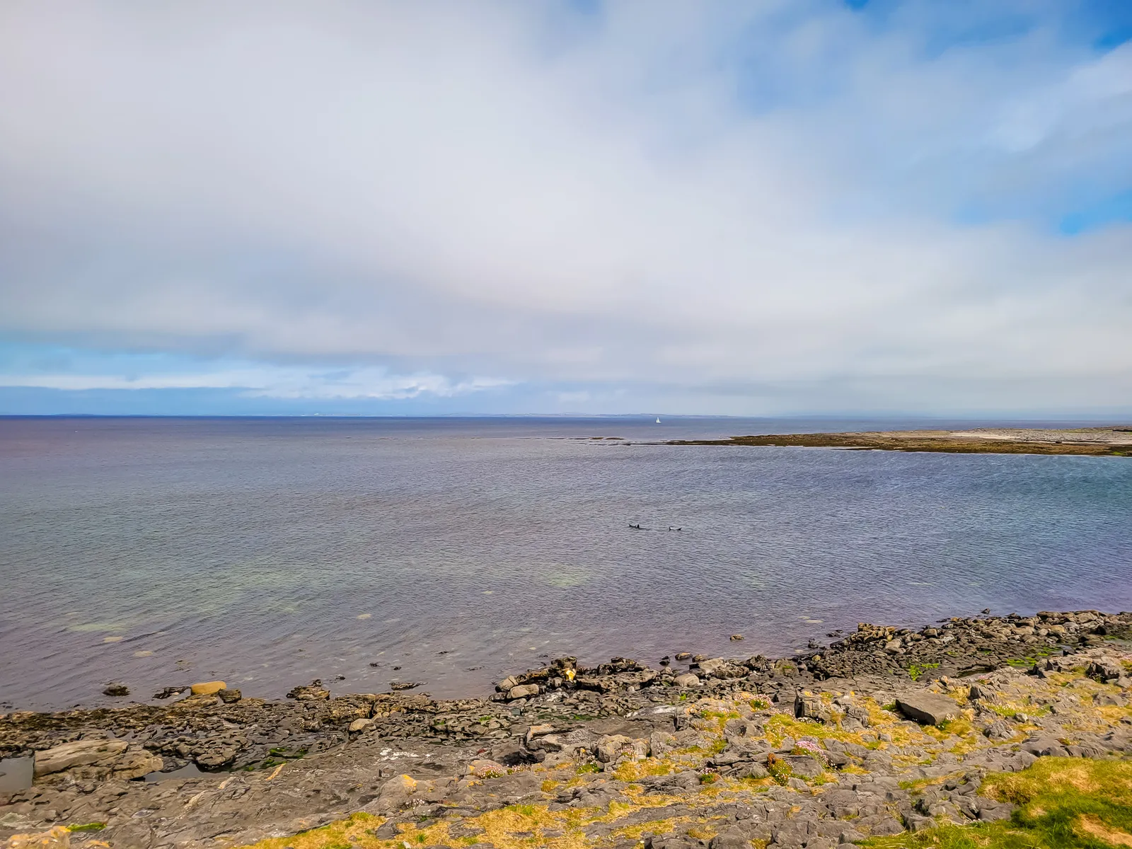
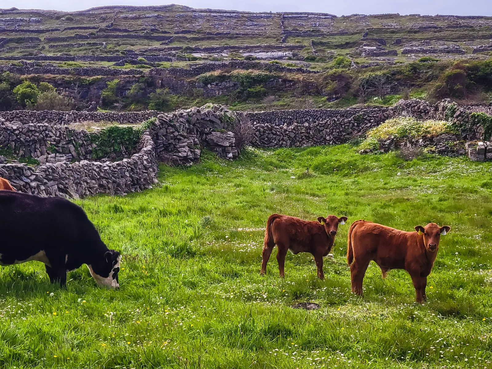
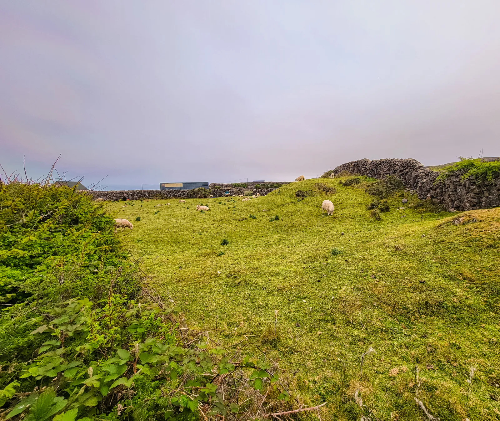
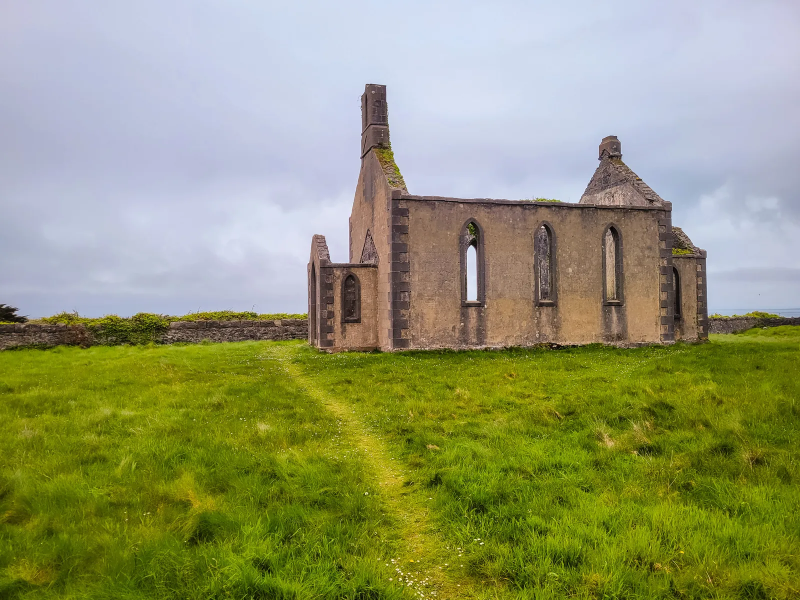
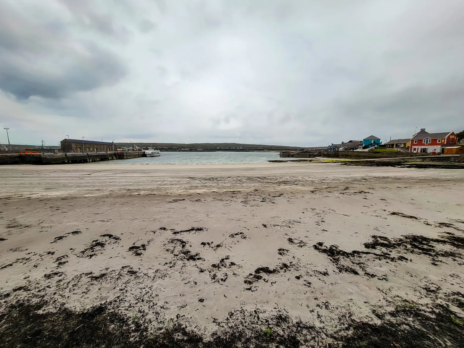
Watch this part of the journey
- 90-Minute Galway Crossing: The ferry from Galway City Docks to Inis Mór takes about 90 minutes, so plan your day and your sea legs accordingly.
- Not All Ferries Leave from the Same Spot: Ferries also run from Rossaveel (Connemara) and seasonally from Doolin, but departures from Galway City Docks are limited and seasonal. Double-check your departure location when booking.
- Book Ahead: Ferry seats can sell out quickly in peak season, especially from late spring through summer.
- Arrive Early: Plan to arrive at least 30 minutes before departure to allow time for check-in and boarding.
- Prepare for Seasickness: The Atlantic can be choppy, bring Dramamine or motion-sickness medication if you're prone to it. (Trust me on this one.)
- Dress for the Weather: Even calm days can feel cold on the water; layers and a windproof jacket are your friends.
- Limited Time on the Island: Most trips allow about 4–5 hours on Inis Mór, so decide your must-see stops in advance.
- Getting Around Inis Mór: Biking is the most popular option, but minibus tours, pony & trap rides, and walking are also available near the pier.
- Food Options: Cafés and pubs are clustered near Kilronan village, making it easy to grab lunch between exploring.
- Return Views: Some return sailings pass beneath the Cliffs of Moher, grab an outdoor or window seat if the views matter to you
From the Museum to the Everyday Life of Galway
The day after our ferry adventure, we eased into Galway with breakfast at GBC (Galway Bakery Company), a family-owned bakery that's been serving the city since 1936. It was exactly what we needed: good coffee, a proper Full Irish, and a relaxed start before exploring the city.
From there, we walked to the Galway City Museum beside the Spanish Arch along the River Corrib. The museum does an excellent job of telling Galway's story, from its medieval past and maritime heritage to its vibrant cultural life. Better yet, admission is free.
Afterward, we wandered around the Spanish Arch before following the Corrib upstream. Along the way, we watched a lone angler standing midstream in waders, casting a fly into the current. The River Corrib is famous for salmon and sea trout, and it was one of those simple moments that made Galway feel authentic.
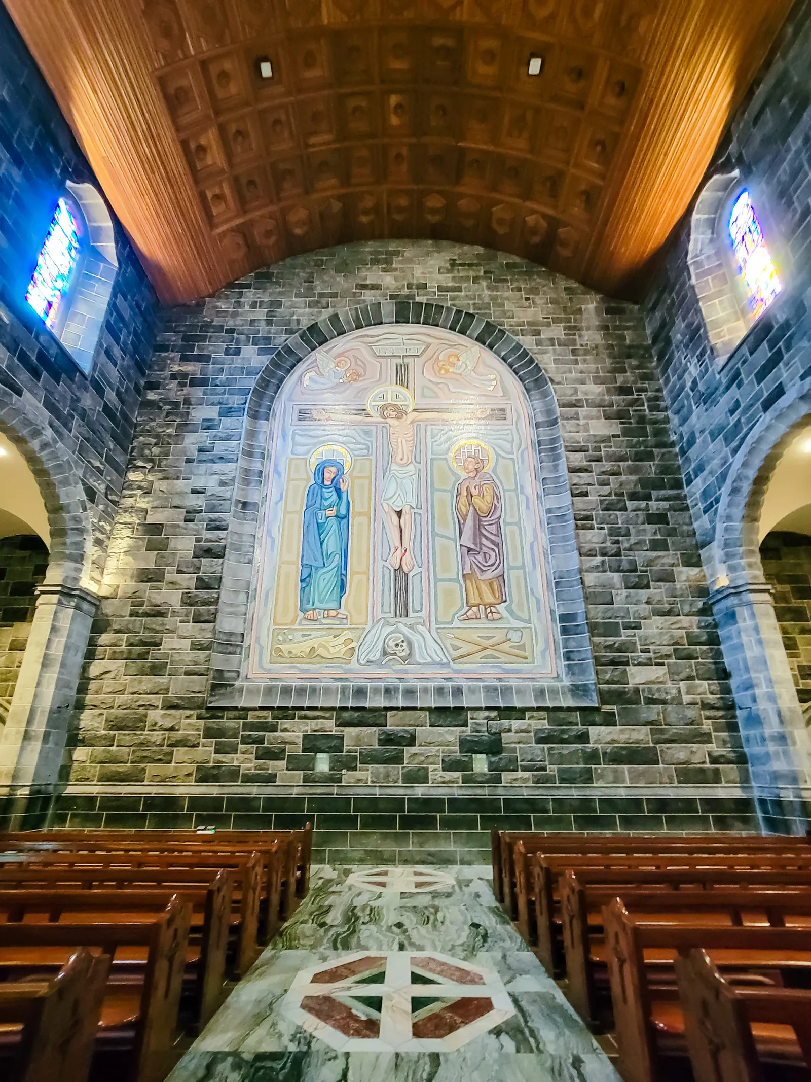
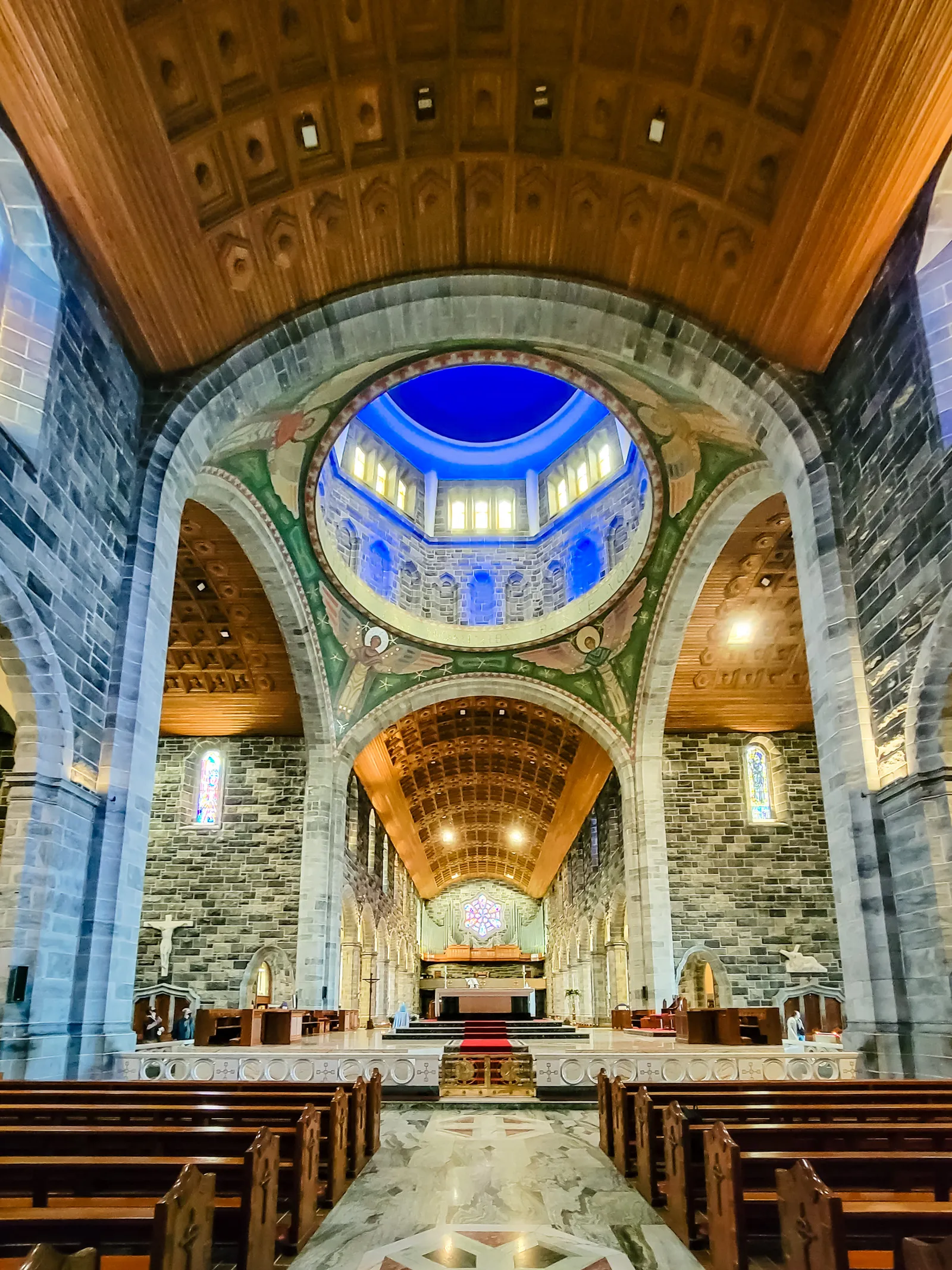
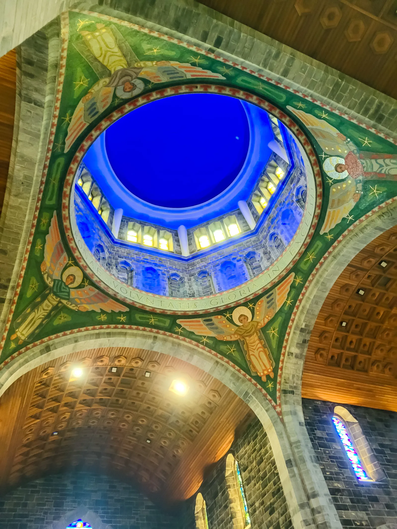
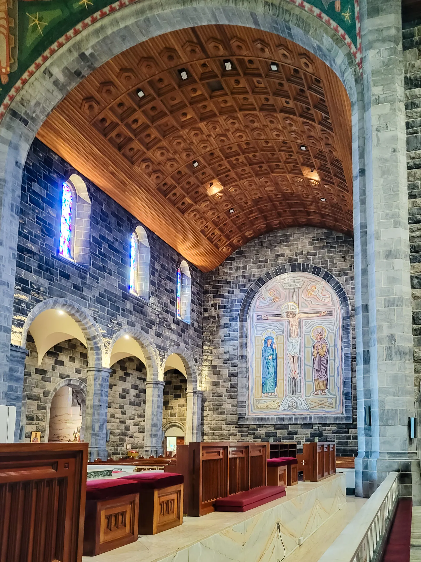
Our final stop was Galway Cathedral, a massive stone church completed in 1965 on the site of a former prison. Commissioned under Bishop Mícheál Browne, it blends Gothic, Renaissance, and Romanesque architecture, and its soaring interior is impressive from the moment you step inside.
Even though Galway is a city, by Irish standards it still feels like a small town, where local history, the River Corrib, and everyday life blend together with effortless charm.
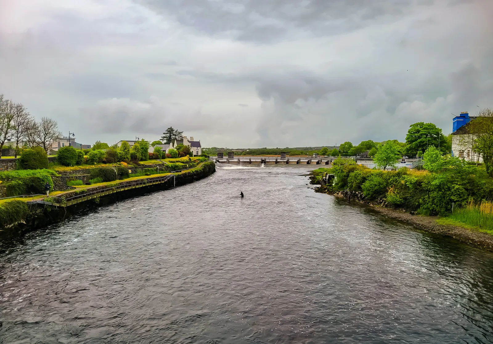
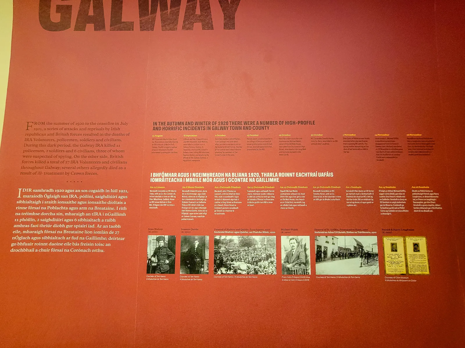
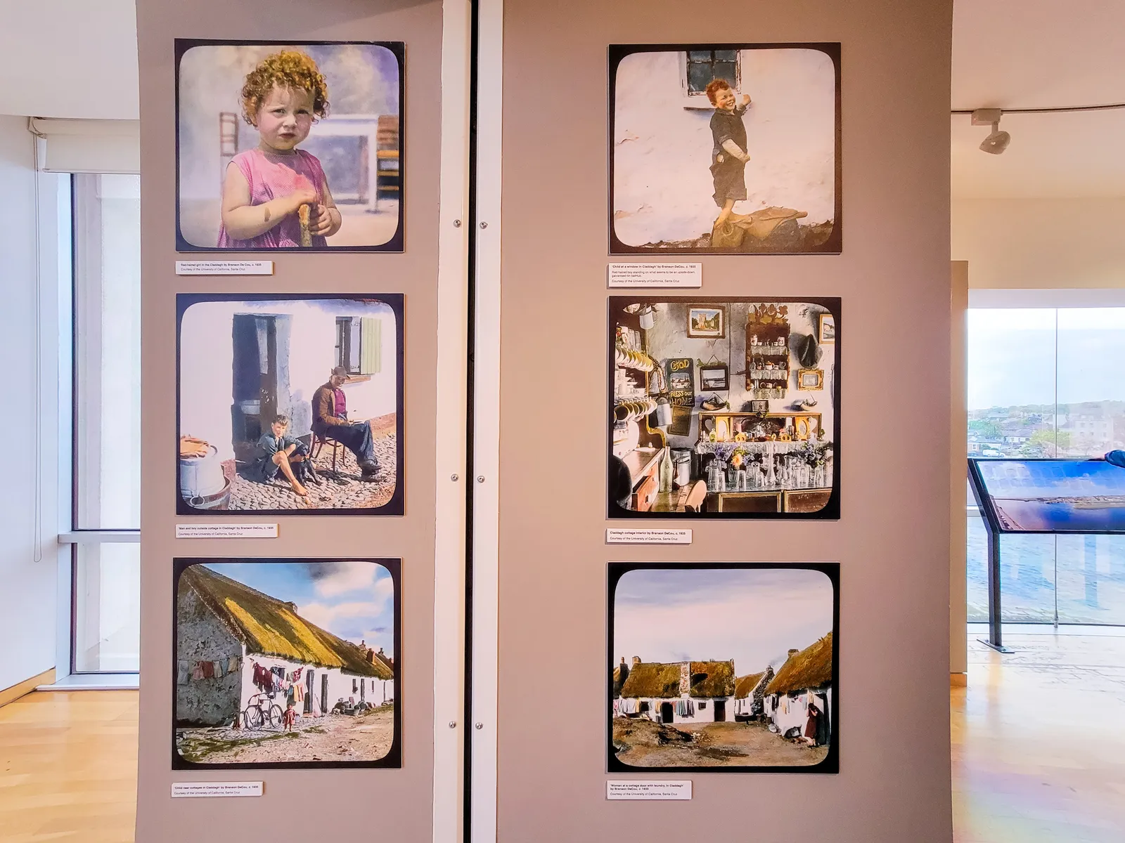
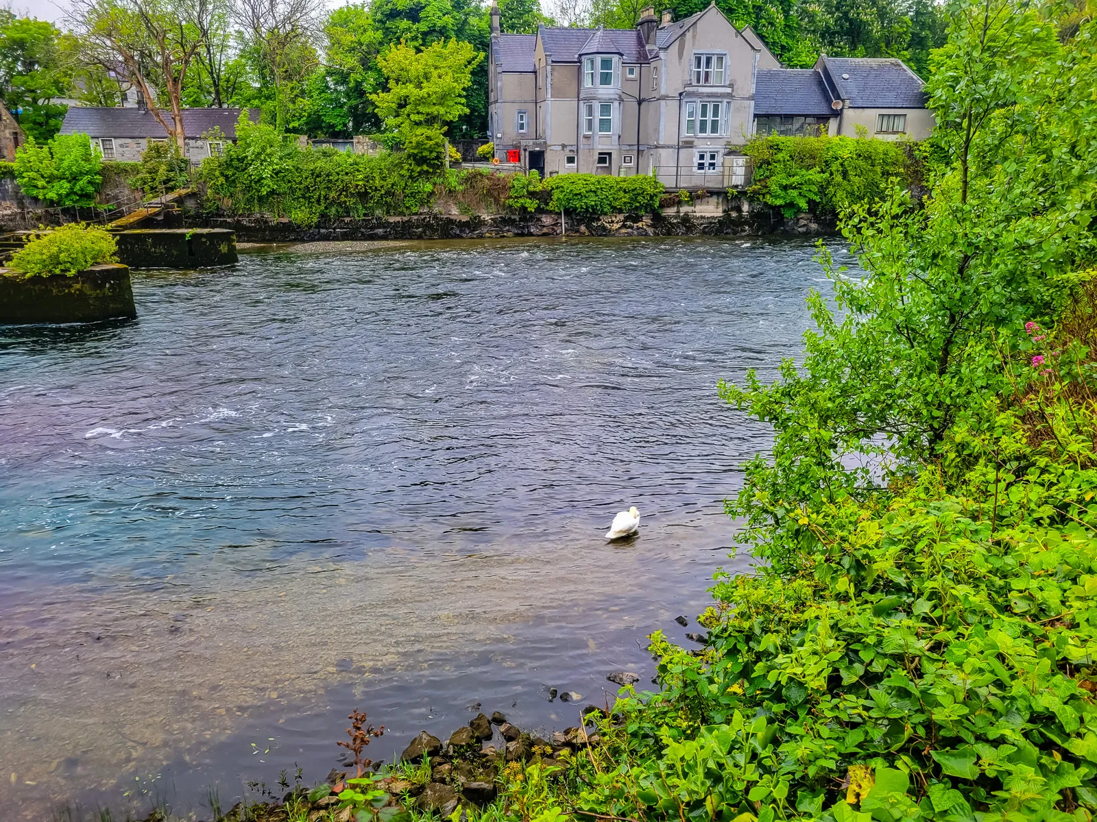
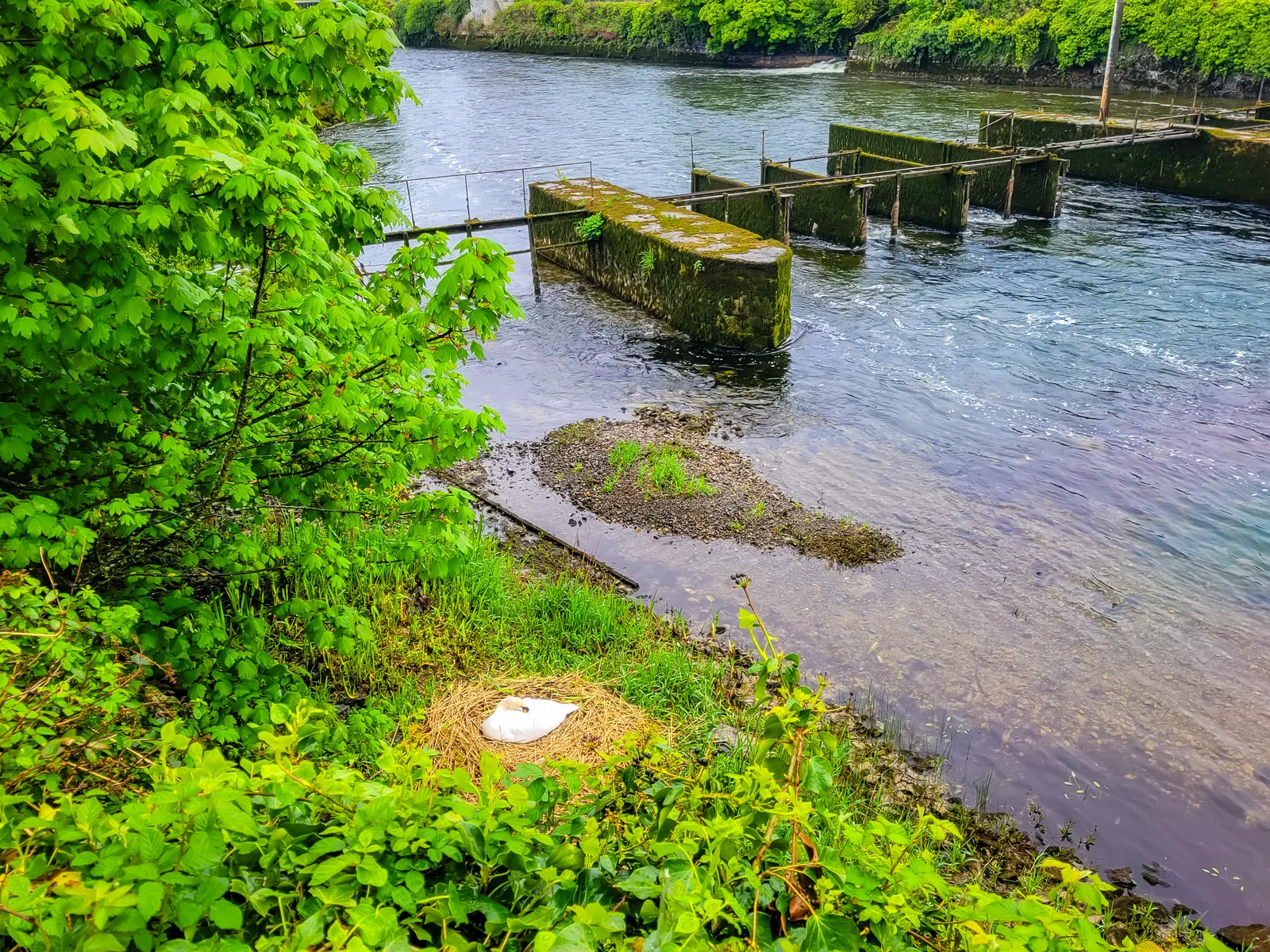
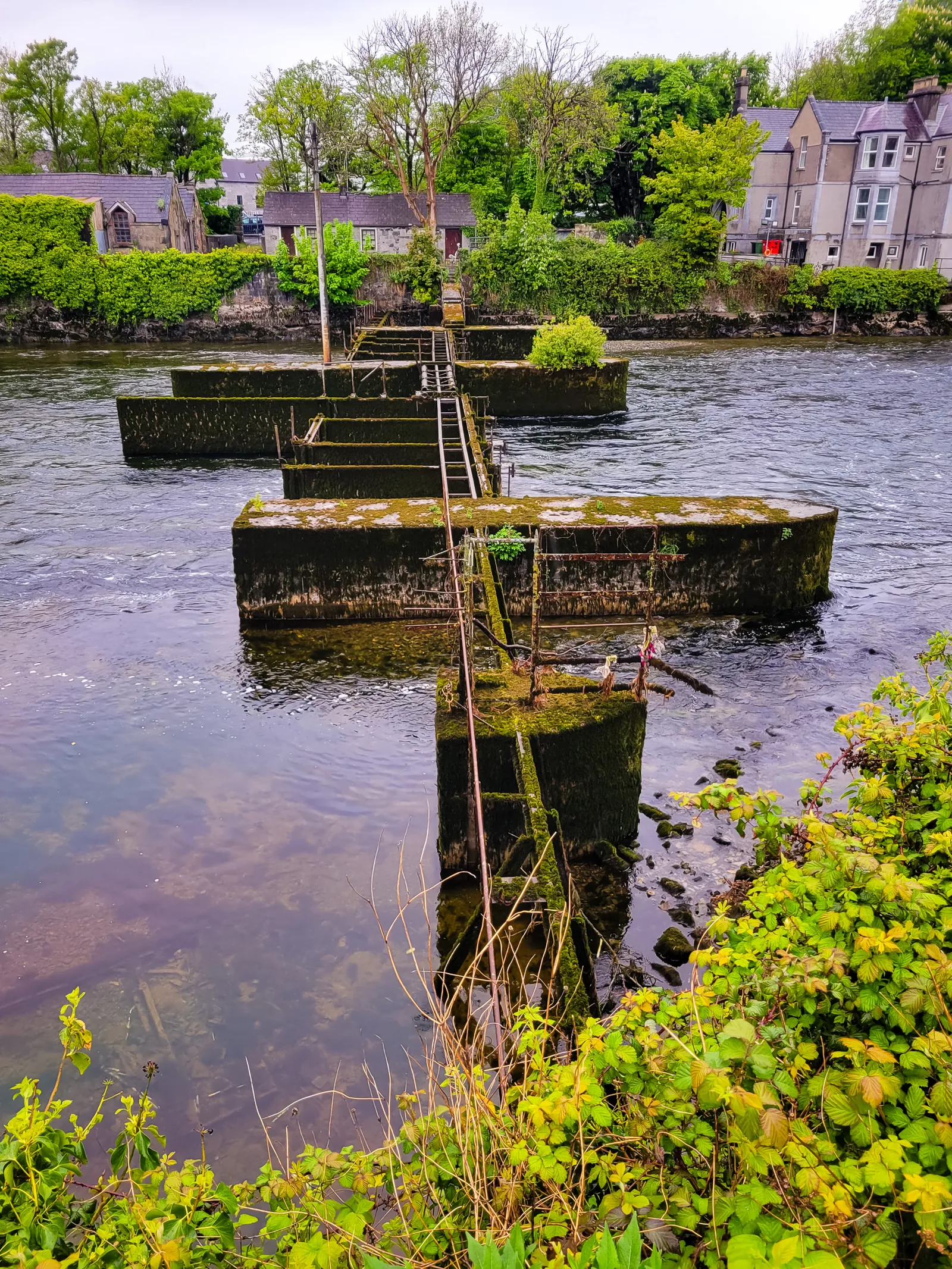
- Location: Galway City Museum sits beside the historic Spanish Arch on the banks of the River Corrib, central to the city's main walking routes.
- Admission: Entry to the museum is free, though donations are welcome.
- Museum Focus: Exhibits cover Galway's history from ancient times to the present, including archaeology, art, folk life, and social and political history.
- Revolution in Galway: Displays explore the city's experience during Ireland's revolutionary period (1913–1923), including local perspectives on independence and civil conflict.
- War of Independence: The museum highlights Galway's role in the Irish War of Independence, including stories of the Black and Tans and their impact on the local community.
- Pádraic Ó Conaire: A section is dedicated to Galway's famous Irish-language writer and his cultural significance.
- Maritime Heritage: A full-size replica of a Galway Hooker sailing boat reflects the city's long-standing maritime traditions.
- Claddagh & Local Culture: Exhibits highlight the Claddagh fishing village, its traditions, and artifacts from daily life in historic Galway.
- Spanish Arch History: The Spanish Arch, part of Galway's 16th-century city defenses, marks the meeting point of river and sea and reflects the city's medieval past.
- River Corrib: The fast-flowing river shaped Galway's identity through trade, fishing, and daily life, and remains a striking feature of the cityscape.
The Writer Who Revived Irish Literature & Modern Storytelling
When you dive into the life of Pádraic Ó Conaire, you meet a writer whose energy and output were remarkable. Born in Galway in 1882, Ó Conaire wrote hundreds of stories, essays, plays, and novels, all in Irish at a time when the language was struggling to survive outside the Gaeltacht.
His novel Deoraíocht (Exile) is considered one of the earliest examples of modernist fiction in Irish. Throughout his work, he tackled themes that still resonate today:
- Emigration and displacement
- Poverty and social inequality
- Isolation and belonging
- The struggles of everyday Irish life
He gave a voice to ordinary people, chronicling the nuances of life in Ireland with empathy and realism.
Standing in front of the photograph of his statue's unveiling in Eyre Square in 1935 at the Galway City Museum, I was drawn into the scene as if I could step right into it.
The crowd feels alive: children in crisp collars, young adults in neat coats, policemen standing watchfully, all faces turned toward the moment. There's nothing staged here, just genuine expressions of curiosity, awe, and quiet excitement.
It's a moment frozen in time, yet it pulses with the same authenticity that Ó Conaire brought to his writing, capturing ordinary lives with profound insight.
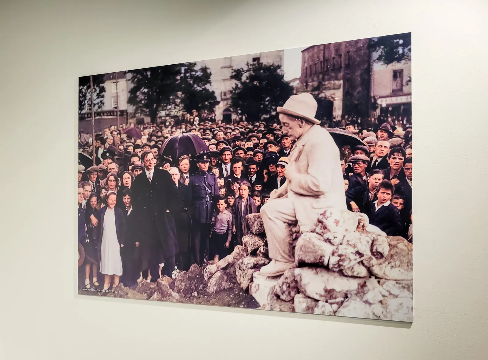
Even today, Ó Conaire's impact is still felt across Ireland. The revival and celebration of the Irish language in schools, media, and literature builds on the foundation he helped establish.
His stories continue to be read, studied, and translated, serving as a reminder that the heart of a culture lives in the stories people tell about themselves. In a way, the faces in that 1935 photograph are still with us, witnesses to a legacy that continues to shape Irish language and identity, inviting each new generation to engage with the vibrant, living culture he loved and wrote for.
A night at O'Connor's Famous Pub
Located on the Salthill Promenade just 2.5 km from Eyre Square, O'Connor's Famous Pub has been drawing both locals and travelers into its antique-filled interior for generations.
To wrap up our stay in Galway on our last night, we set off on a breezy 30-minute walk from the city center down to this traditional Irish pub that everyone kept mentioning.
The walk from Galway city center to O'Connor's (R336, Salthill) takes about 30 minutes along the promenade, totally doable and actually quite nice in the evening air.
You could grab a taxi for about €10, but honestly, the walk builds anticipation. We arrived right at opening (around 5 PM on weekdays), which turned out to be perfect timing.
I'll be honest, I wasn't quite sure what to expect, but from the moment we stepped inside, this place has your attention. Walking in before the crowds rolled in gave us the perfect chance to really take in the surroundings.
The walls and ceilings are packed with antiques, old gas lamps, farm tools, even a near-life-size John Wayne statue watching over the bar. This is a photographer's goldmine.
Those old gas lamps catch the afternoon light beautifully through the front windows. It's the kind of quirky interior that makes you pause mid-step, glance around, and think, Yeah, this is Ireland.
As the late afternoon slipped into evening, the pub morphed from cozy curiosities to full-on craic. The hardwood floors filled up, the Guinness flowed freely, and live traditional music kicked in around 9 PM. There's no food, no TVs, just good pints, great tunes, and people laughing together, exactly the kind of place you want to be on your final night in Galway.
Fair warning: it gets properly packed on weekends, so early evening visits give you the best of both worlds, you can actually see those antiques before the crowd rolls in and still catch the energy building for the night ahead.
If you're an Ed Sheeran fan, you'll get a kick out his music video for "Galway Girl" which was filmed right here at O'Connor's. The pub doesn't even need a set, its walls tell the story already, which probably explains why it fit perfectly into the video's vibe. Now, it's become one of the most famous Irish pubs around, though thankfully it hasn't lost its authentic character to tourist hype.
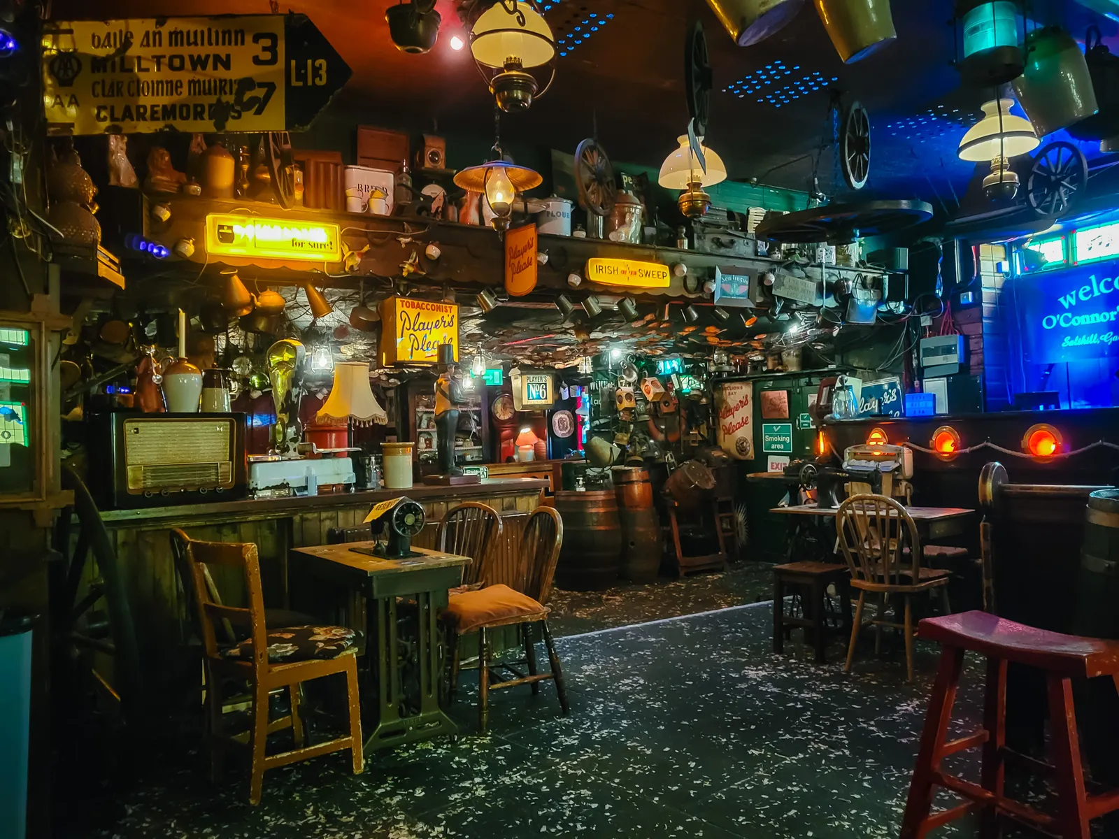
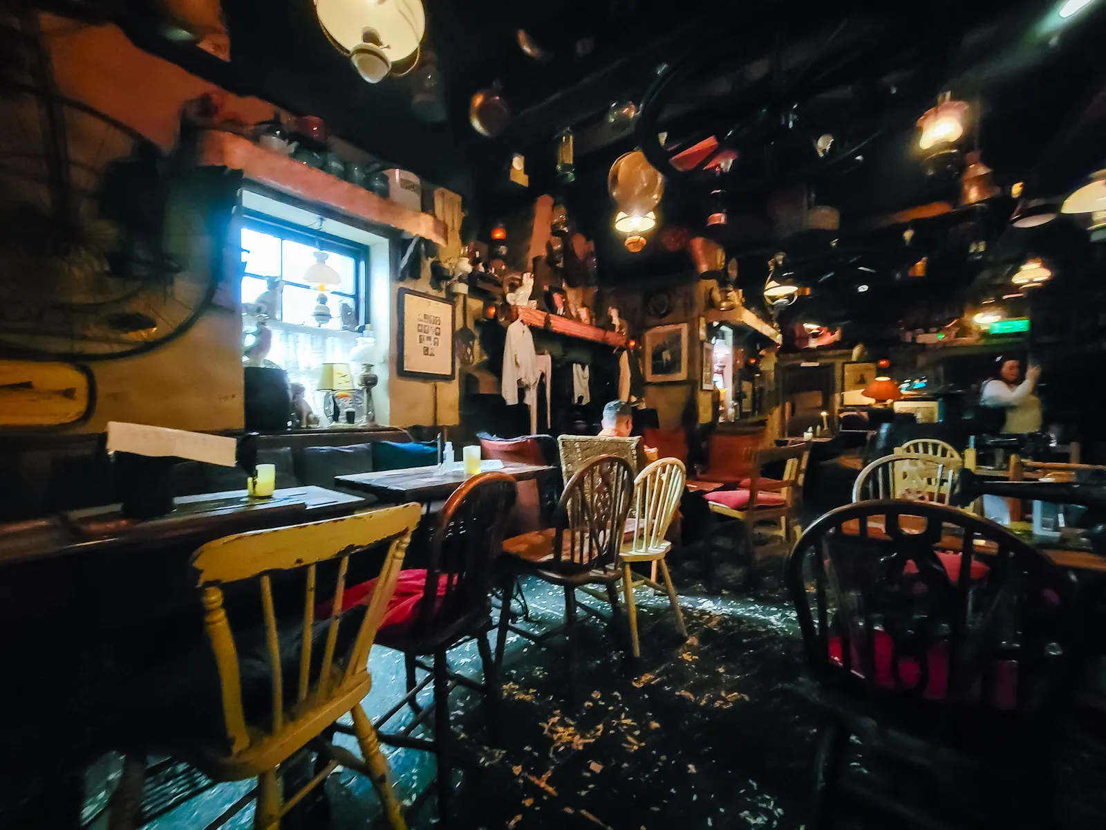
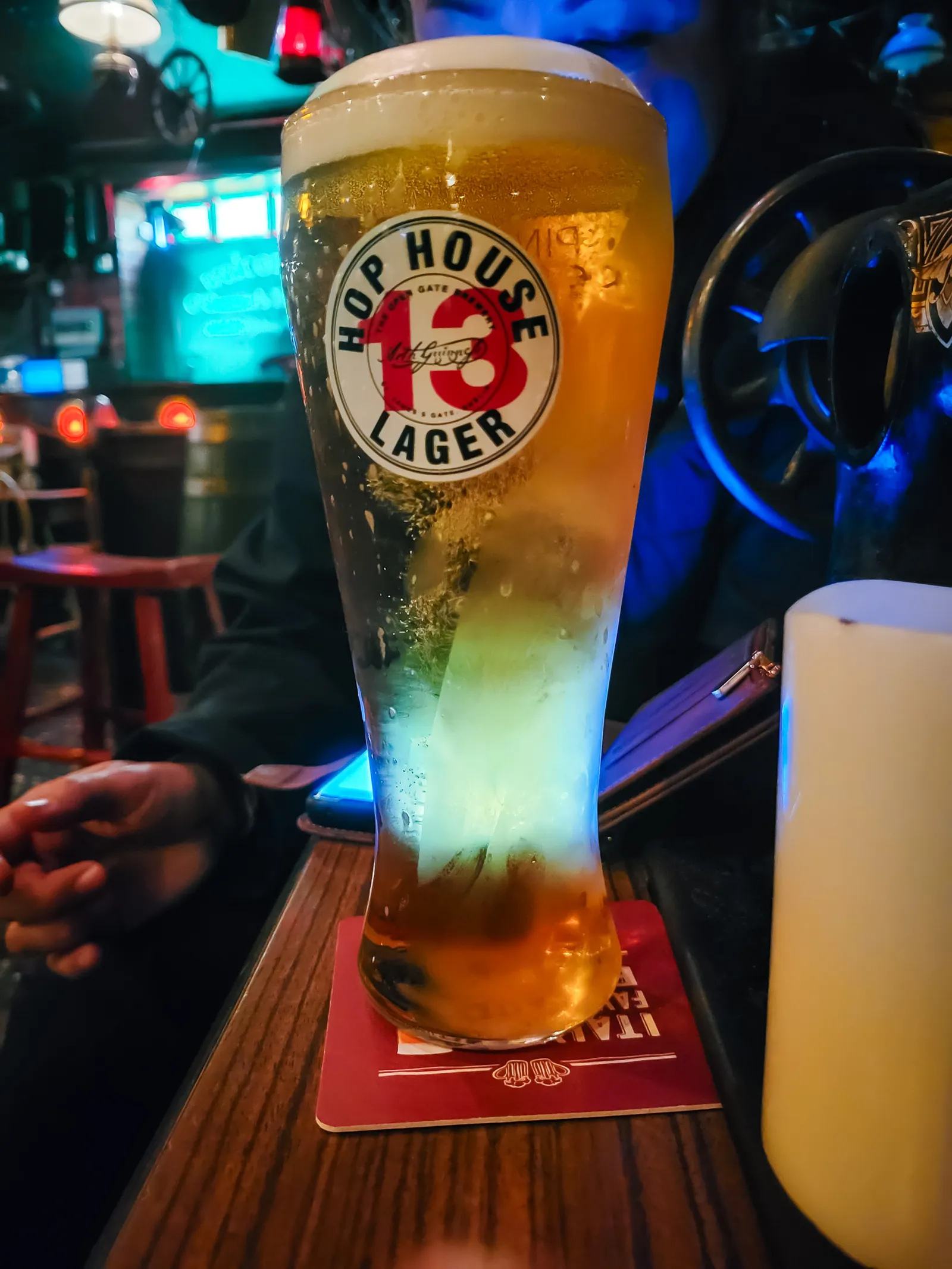
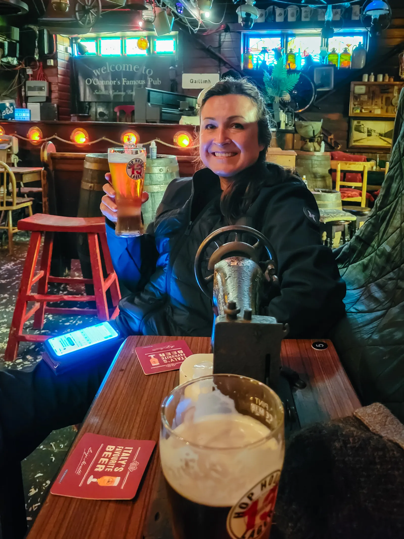
By the end of the night, I'd definitely had a few too many, laughed harder than I expected, and soaked in that warm, buzzy energy only a proper Irish pub can create. Then came that long walk back to Galway city center in the crisp evening air, totally worth it.
If you're wandering around Galway and want an authentic, unforgettable ending (or start) to your evening, this traditional Irish pub in Salthill is a spot you won't forget. After exploring Galway's Latin Quarter earlier in the day, this made for the perfect nightcap to our Galway stop.
Where Cinema Meets the Quiet of the Countryside
The next morning, considering the amount of Hop House Lager I'd consumed the night before at O'Connor's, I was surprisingly functional. I even managed to get us checked out of the hotel in record time.
Our plan for the day was simple: make our way toward Connemara, with a quick stop at one of Ireland's most photographed filming locations.
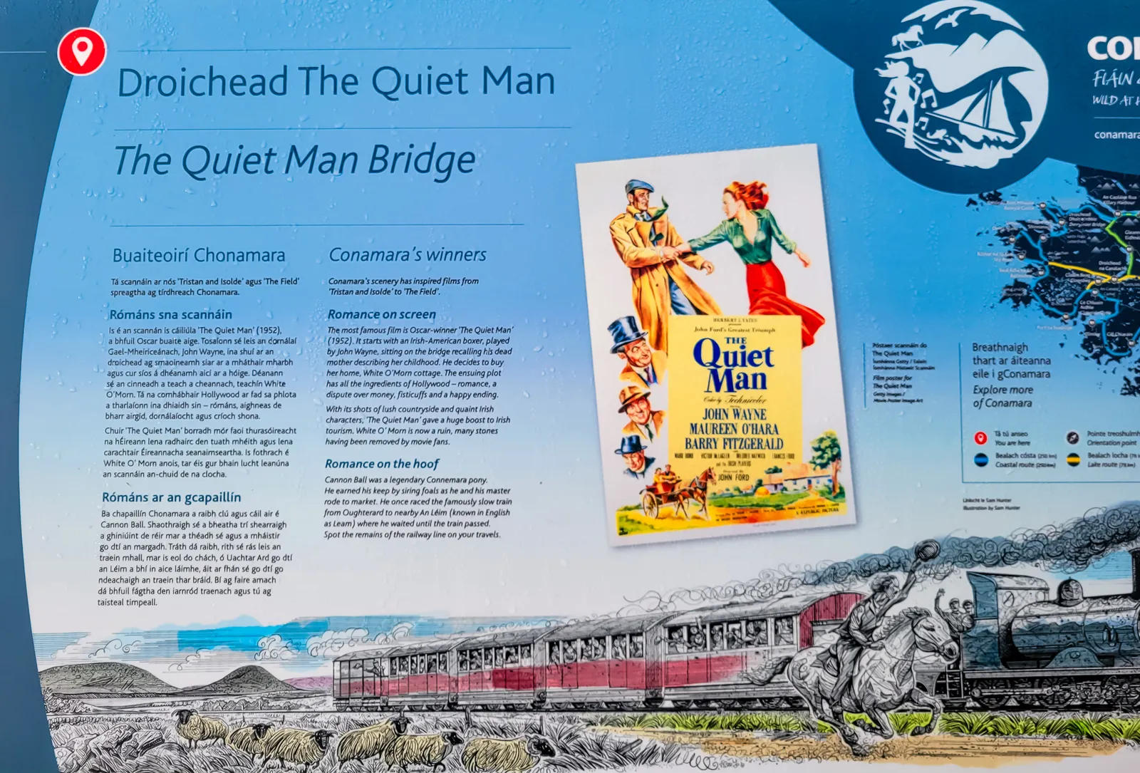
As fans of the classic 1952 film The Quiet Man starring John Wayne and Maureen O'Hara, we couldn't pass up the chance to see the famous stone bridge in person.
Located just outside Oughterard on the N59 (about 30 minutes from Galway city), this picturesque spot has become a pilgrimage site for movie buffs and photographers alike.
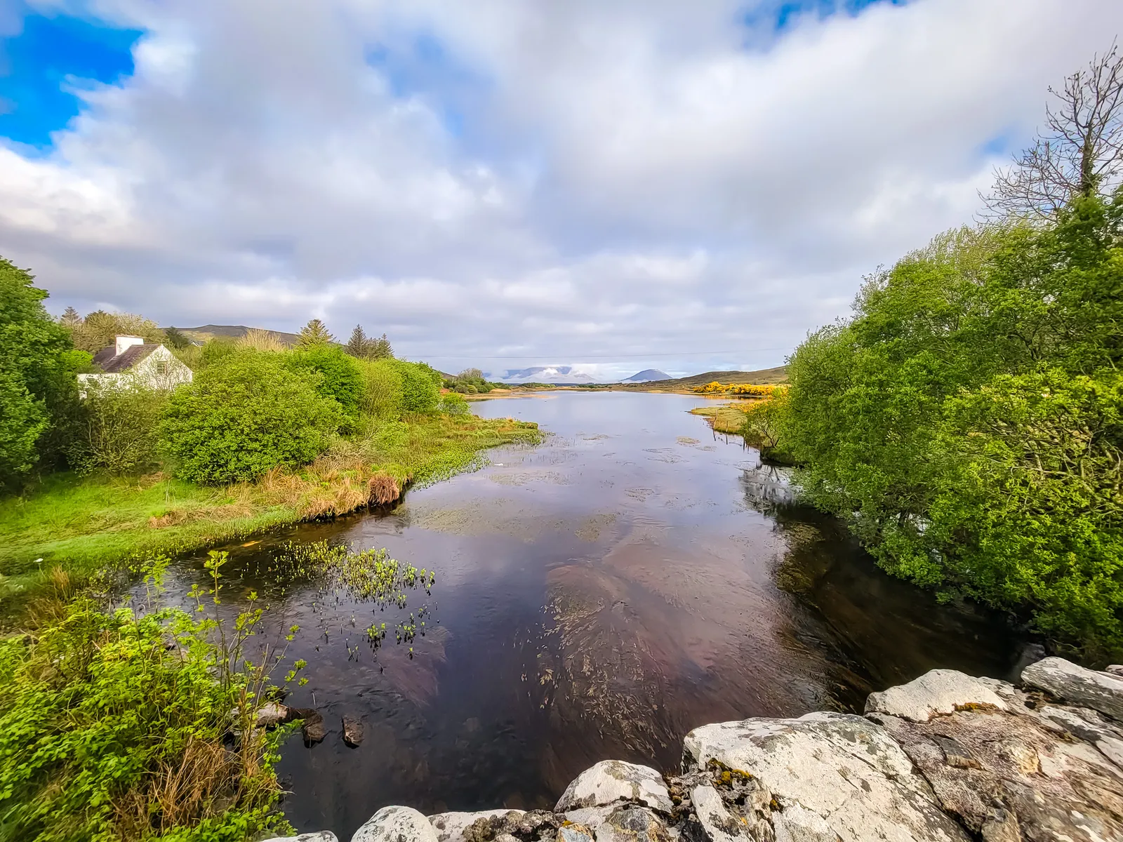
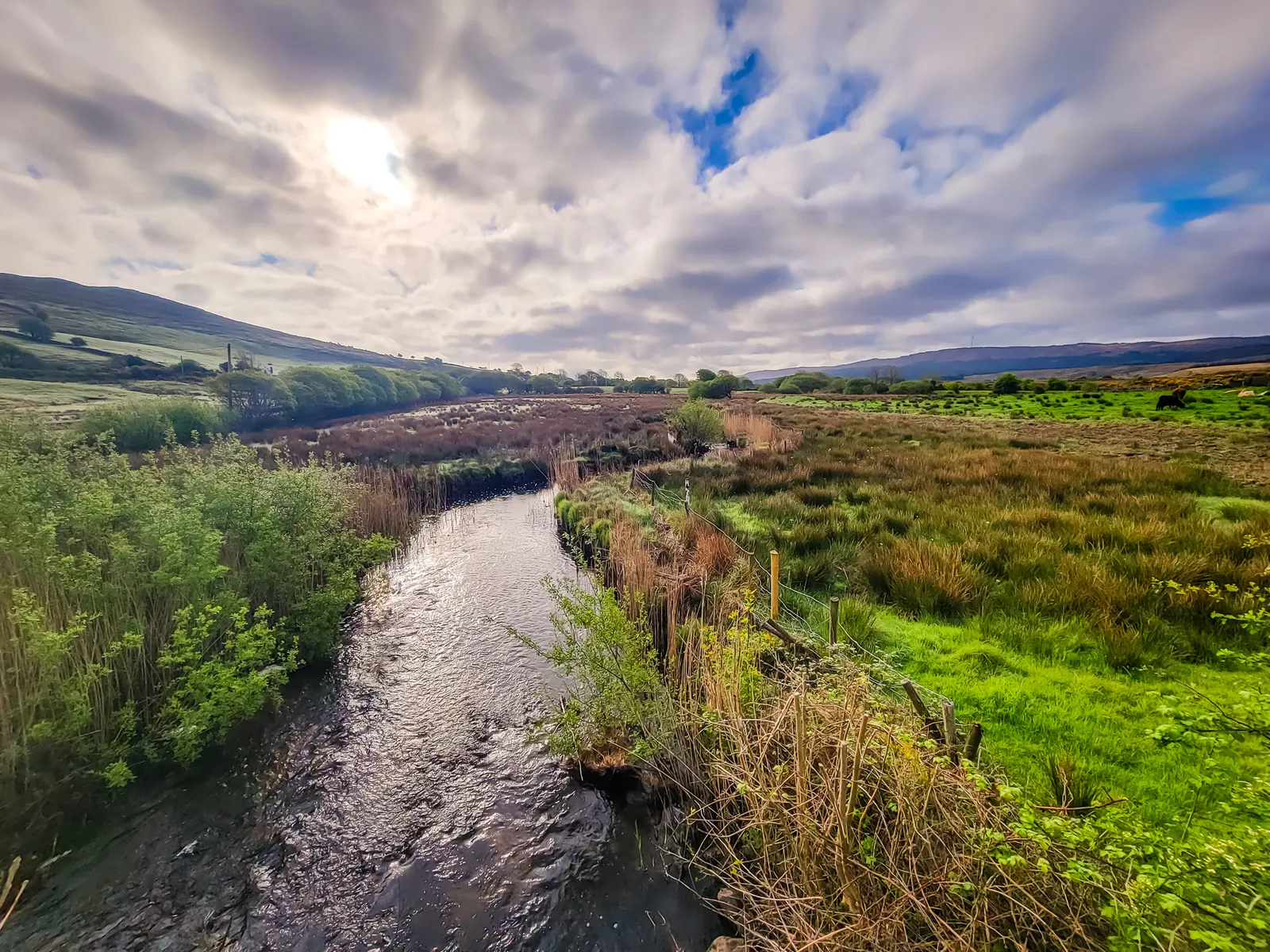
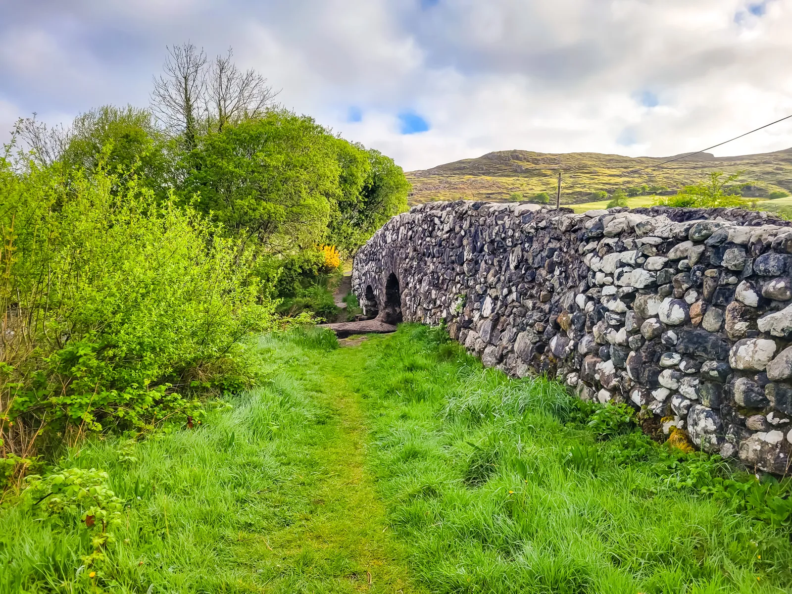
The bridge itself, officially called Leam Bridge, spans the Owenriff River and remains virtually unchanged since John Ford filmed here over 70 years ago. It's where Sean Thornton (John Wayne) first meets Mary Kate Danaher (Maureen O'Hara) in one of cinema's most iconic Irish scenes.
A short clip from the area, serene and scenic – Connemara Contrast – Birds, Blooms & the Roadside Sound
Watch this part of the journey
A Fairytale in the Heart of Connemara
The drive into Connemara National Park felt like entering another world. I only wish I'd had a GoPro on the dashboard because every bend in the N59 revealed another postcard worthy view.
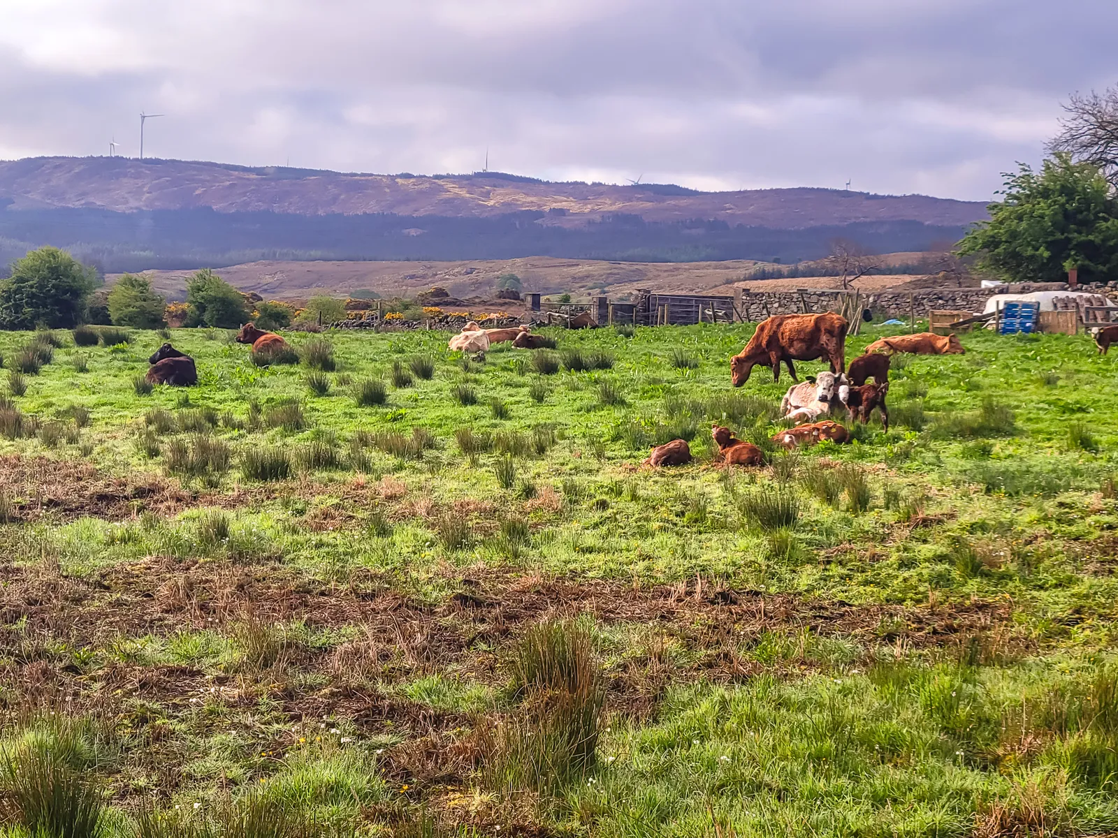
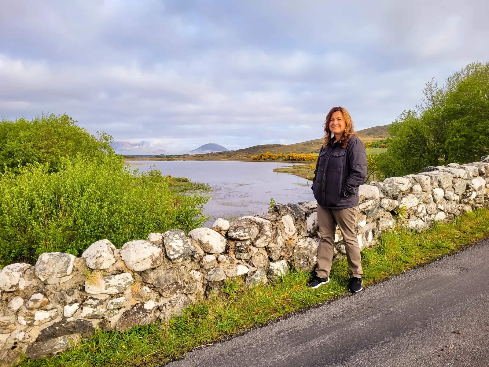
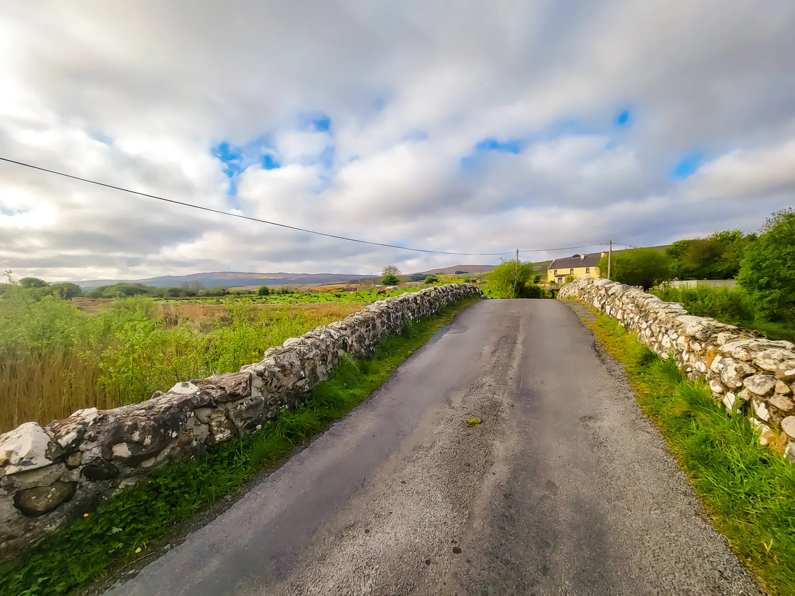
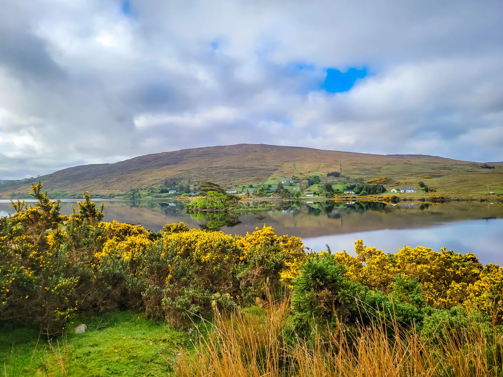
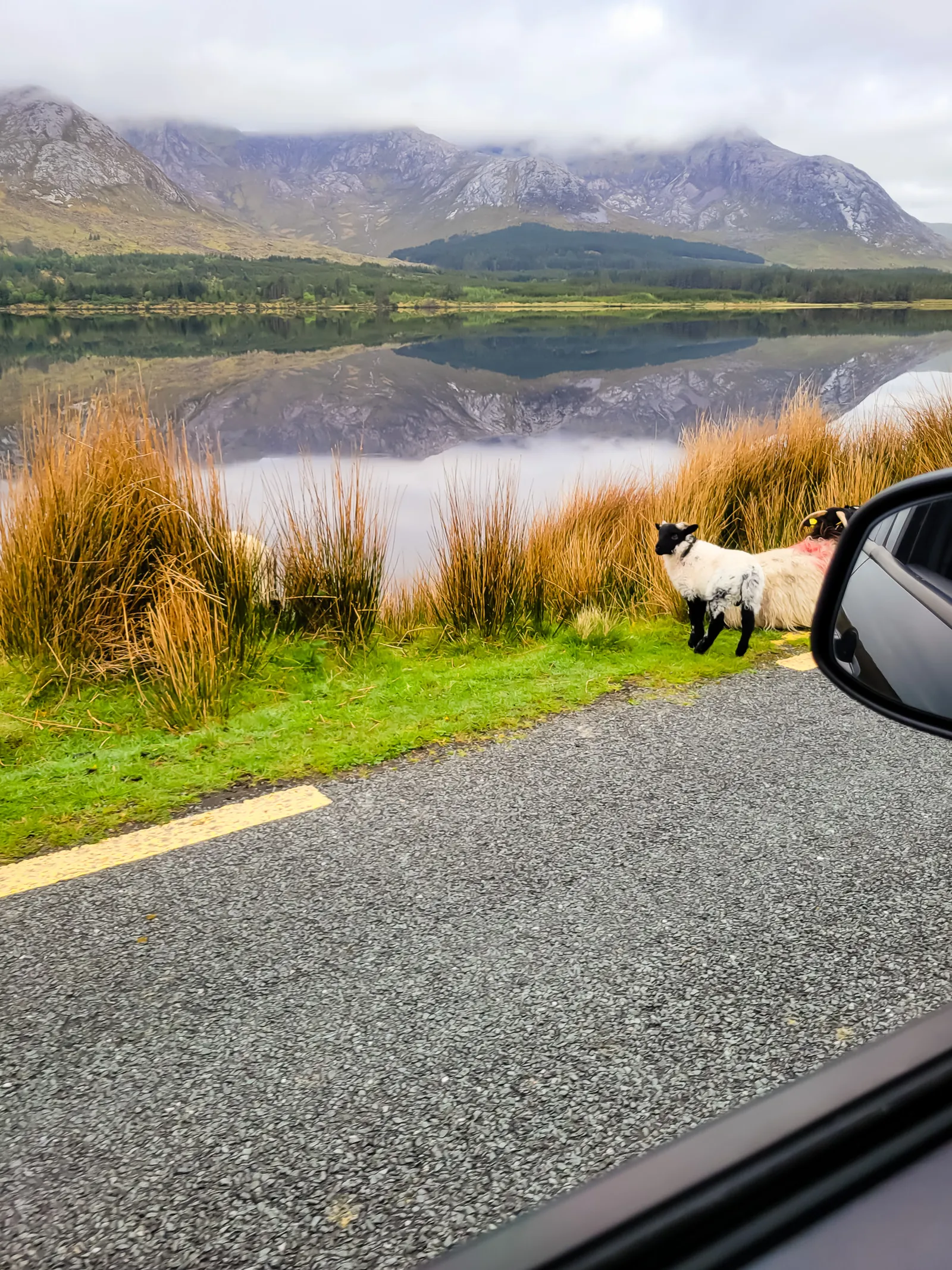
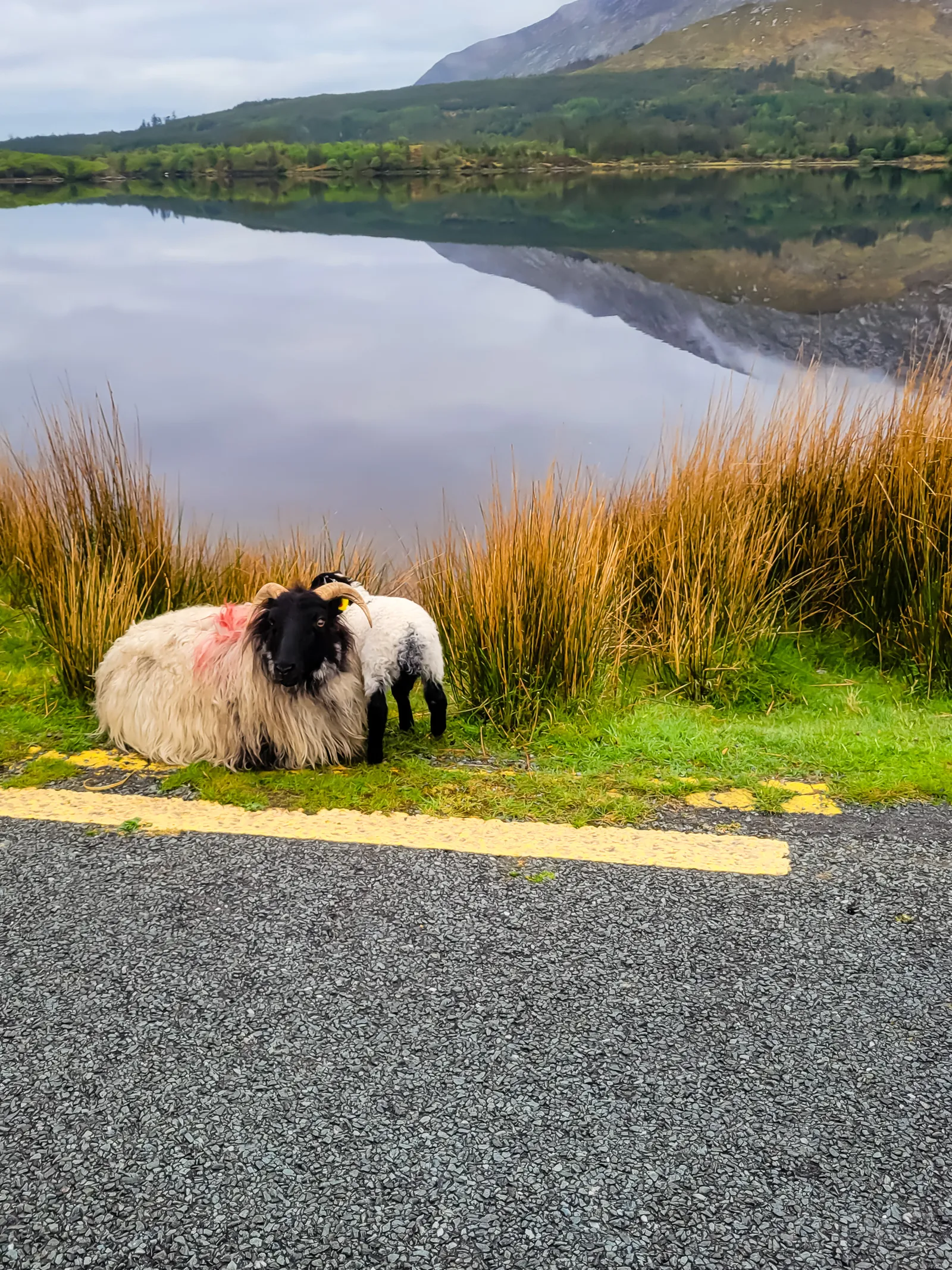
The road traced the shores of Kylemore Lough, with mountains rising on one side and glassy water stretching across the other. We didn't see another car all morning. Instead, we shared the road with sheep grazing peacefully along the roadside, completely unfazed by our presence. I was behind the wheel, so these two photos were all I managed to capture, but the memories remain vivid.
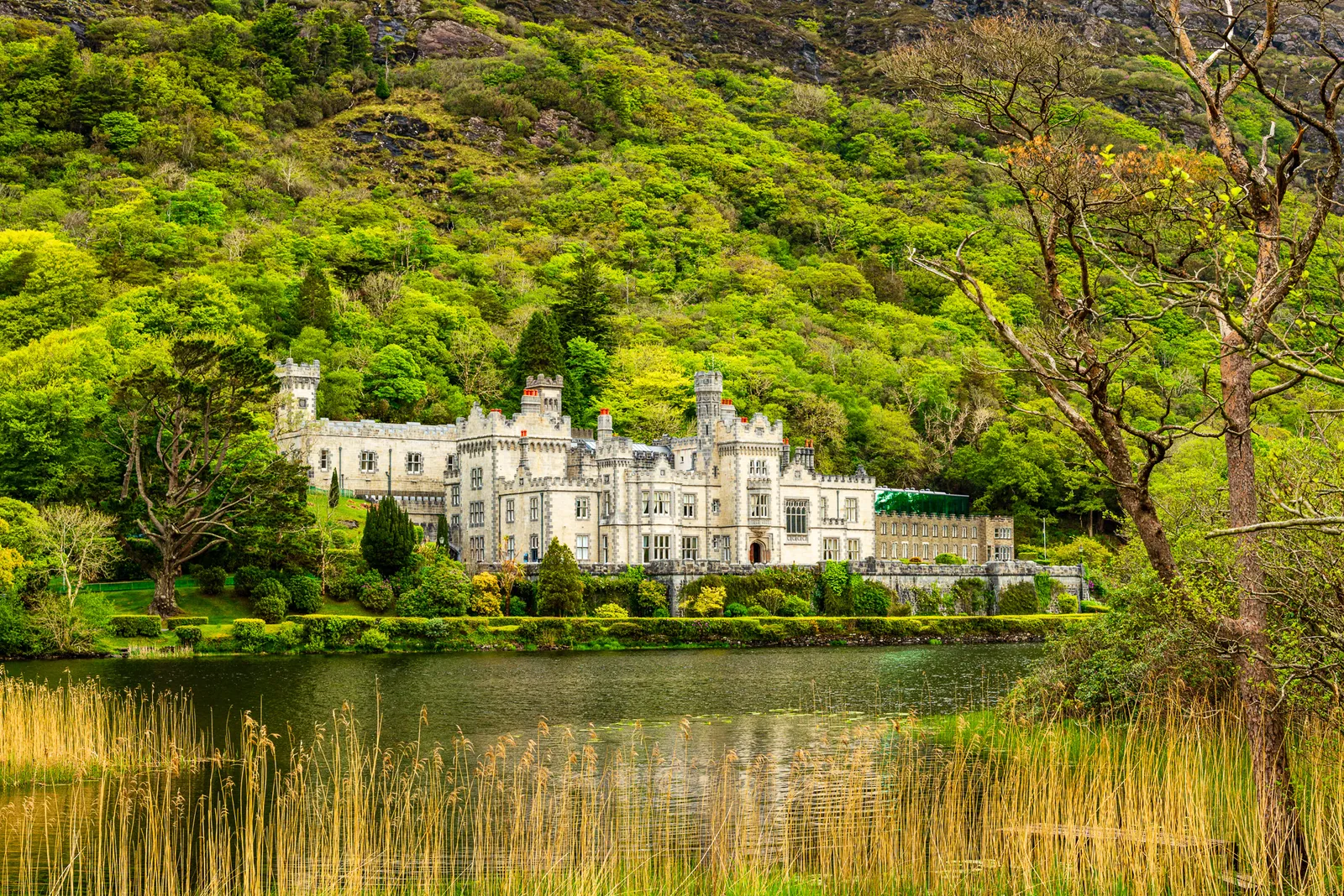
Then came Kylemore Abbey, and it took our breath away. Nestled at the foot of a mountain beside the lake, the castle seems to float above its reflection on calm days, creating one of Ireland's most iconic views.
Built between 1863 and 1868, Kylemore was the dream home of Mitchell Henry, a wealthy English politician, and his wife, Margaret. Their story is both beautiful and heartbreaking. After Margaret died unexpectedly in 1875, Mitchell rarely returned. Today, the couple rests together in a small mausoleum on the grounds, a quiet tribute to enduring love.
In 1920, Benedictine nuns fleeing Belgium during World War I made Kylemore their home. They established schools, operated a farm and guesthouse, and gave the estate a new purpose. Although the guesthouse closed after a fire in 1959, part of the abbey remains a private sanctuary where the nuns continue their life of prayer and work.
- Location: Connemara, County Galway
- Driving Time: about 1 hr 15 min from Galway City (longer with photo stops)
- Parking: free large lot near the main visitor center
- Highlight: Abbey, Victorian Walled Garden, Gothic Church, Mausoleum, lakeside walks, woodland trails
- Time Needed: 2–4 hours for a full visit including garden, church, and walking paths
- Estate Size: 1,000 acres of mountainside, forest, and lakeshore
- Seasonal Hours: March–October: 10:00–18:00 (last admission 17:00); Late October–December: 10:00–17:00 (last admission 16:00); December–March: 10:00–17:00
- Kylemore Kitchen Café: open daily ~10:00–16:30 (off peak) and until ~17:30 in peak season
- Garden Tea House: 11:00–16:00 when open
- Most Scenic Route: N59 through Connemara with lake and mountain views; optional Sky Road detour near Clifden for coastal panoramas
- Best Photo Spot: across the lake for iconic reflections, especially early when the water is calm
- Victorian Walled Garden: larger and more detailed than expected; allow extra time if you enjoy gardens
- Soft Adventures: woodland and lakeshore trails ranging from short strolls to longer hikes with frequent wildlife sightings
- Driving Tips: slow down for sheep or livestock on rural roads
- Photographic Reputation: one of Ireland's most photographed historic sites due to its dramatic setting and architecture
- Community Today: still an active Benedictine monastery with ongoing spiritual and cultural life
Across the Bog Where the Twelve Bens Rise
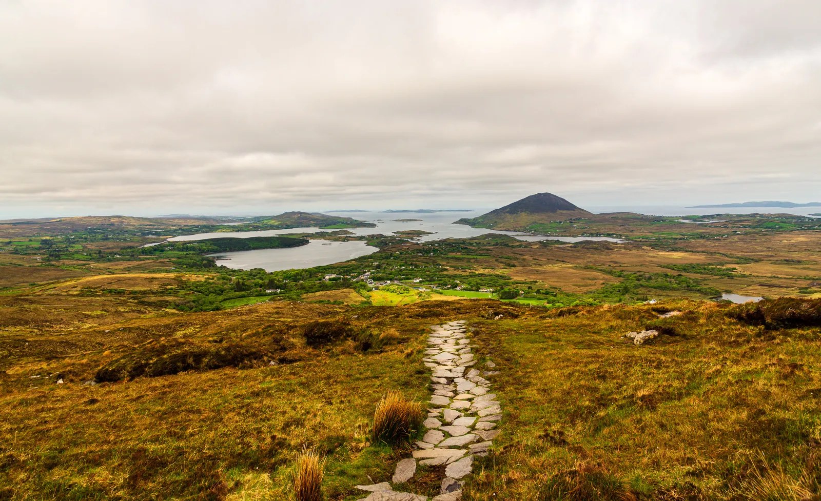
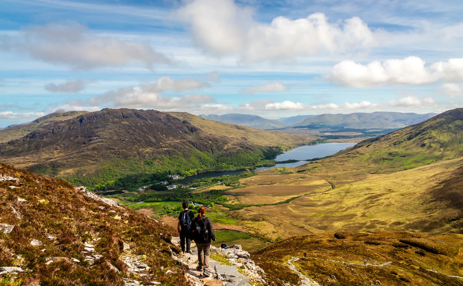
A few miles further down the N59 brought us into the heart of Connemara National Park, where Diamond Hill was waiting for us. We laced up our hiking boots, tightened the straps, and set off on the Upper Trail, a 3.8 mile (6 km) loop that climbs steadily toward one of the best viewpoints in all of Connemara.
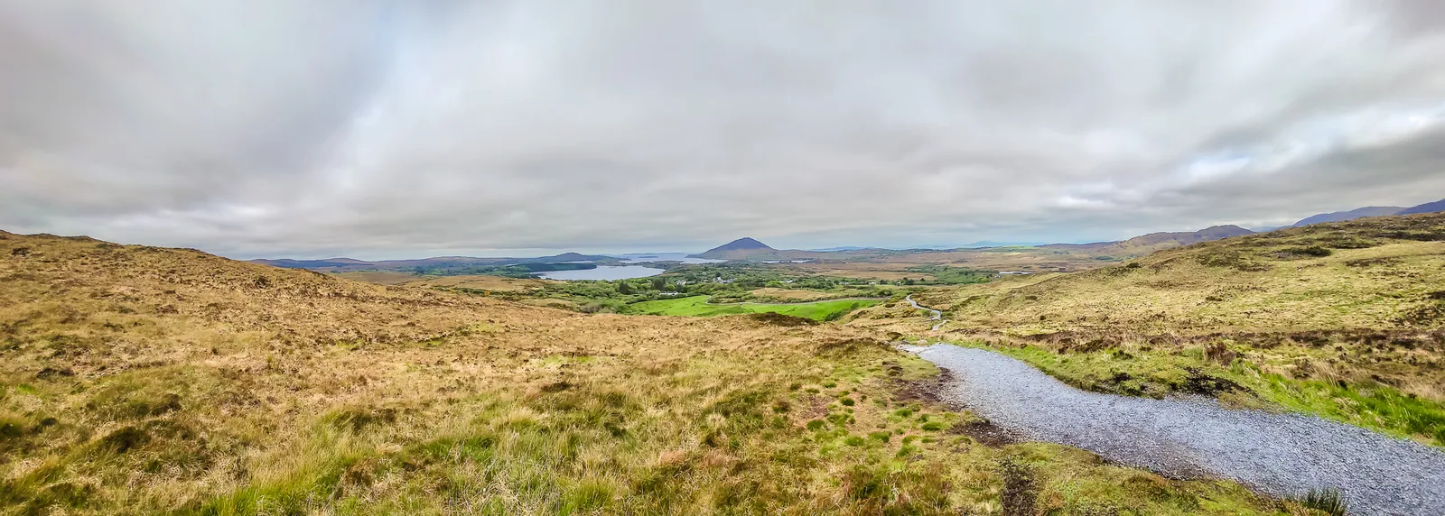
The path is well marked, alternating between stone steps, gravel sections, and wooden boardwalks. The trail is steep in places, just enough to make your legs burn and remind you that you're earning the view.
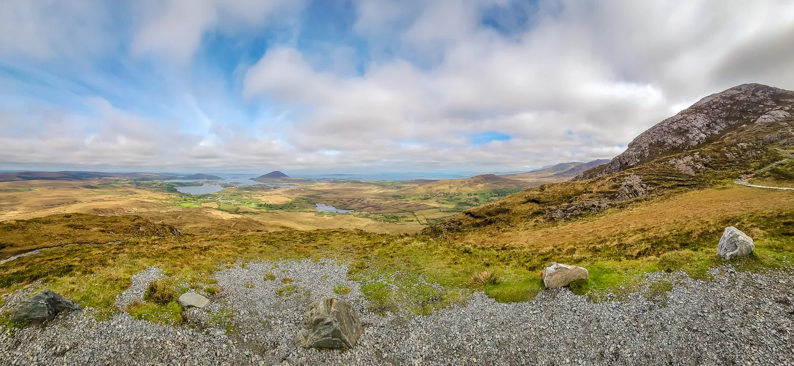
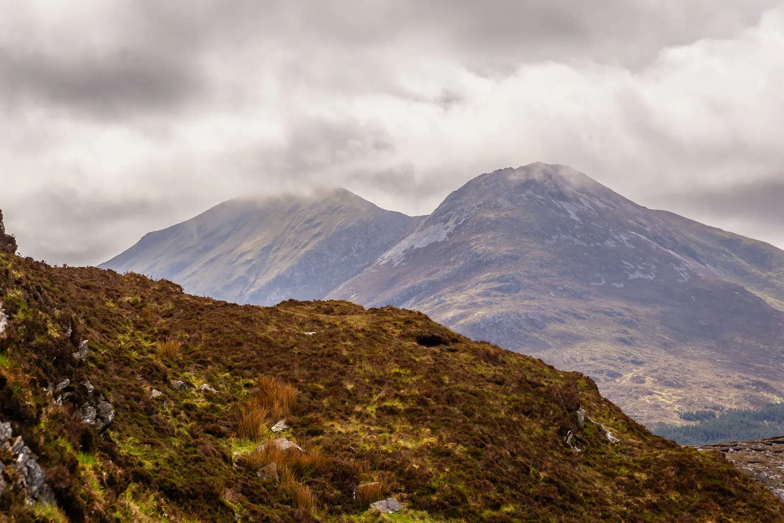
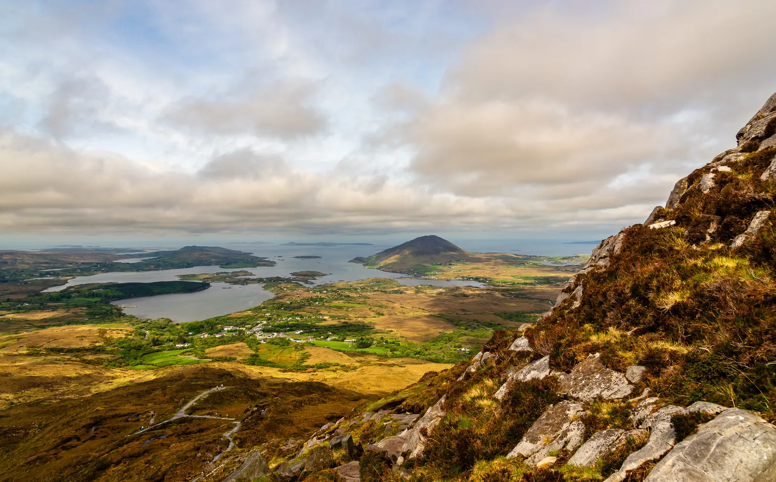
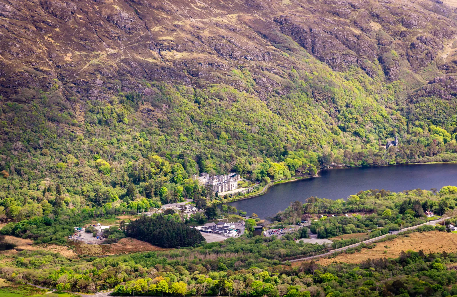
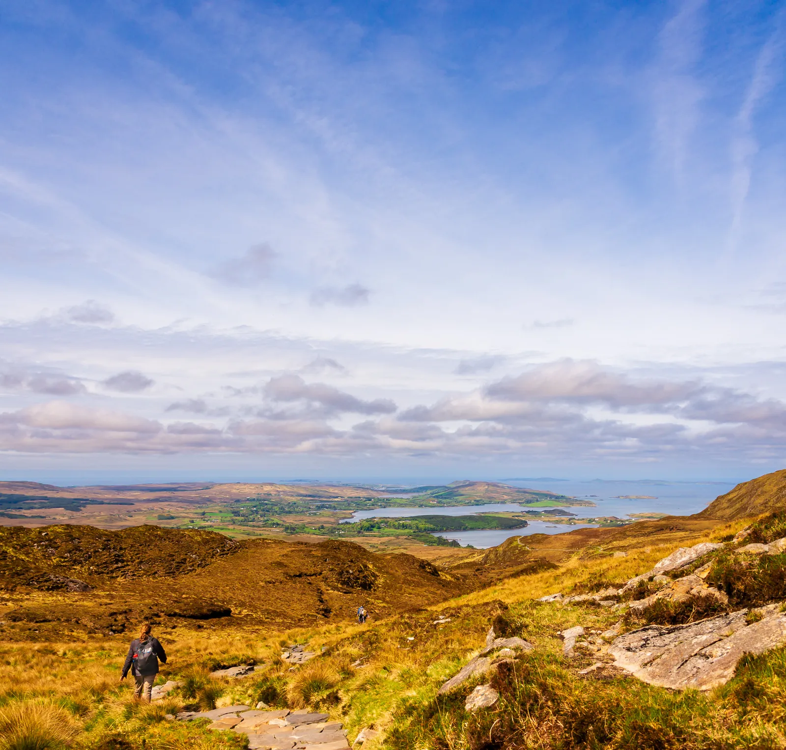
As we climbed higher, the landscape opened up beautifully: rolling hills stretching toward the horizon, the Twelve Bens rising proudly in the distance, and far below, the glimmer of Kylemore Abbey perfectly framed by the lake.
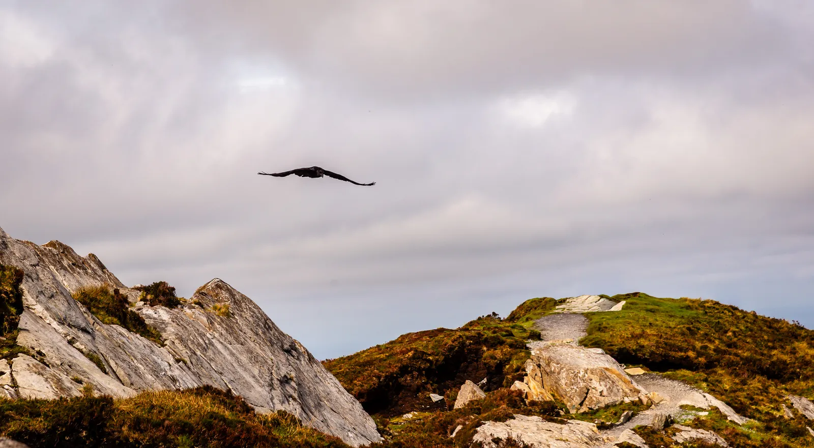
At times, we were eye level with the birds as they glided past on the wind currents, a surreal reminder of just how high we had climbed.
At the summit, the reward was indescribable. A full 360 degree panorama unfolded around us, lakes, valleys, mountains, and shifting clouds drifting across a bright blue sky. A view that makes you pause, and soak it all in.
On the way down, the trail curved gently toward the visitor center, where sheep grazed lazily across the open fields, completely unbothered by hikers passing by. The entire experience felt peaceful, grounding, and unforgettable.
Connemara quickly became one of my favorite stops in Ireland. There's a serenity here that's hard to put into words, a feeling that stays with you long after you've left.
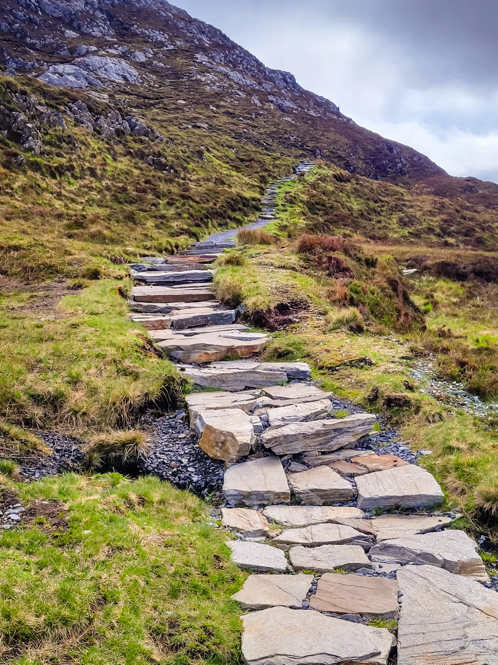
- Location: Connemara National Park, County Galway
- Trail: Diamond Hill Upper Trail (3.8 miles / 6 km)
- Elevation Gain: 1,450 ft (450 m)
- Difficulty: Moderate
- Time Needed: 2–3 hours
- Parking: Free parking at the visitor center
- Best Time to Visit: Morning or late afternoon for clearer views and fewer crowds
- Diamond Hill is one of the most popular hikes in Connemara National Park.
- The park spans 5,000+ acres of mountains, bogs, heaths, and woodlands.
A Movie Connection & a Town of Mixed Impressions
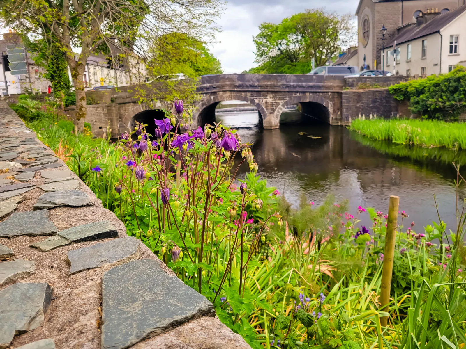
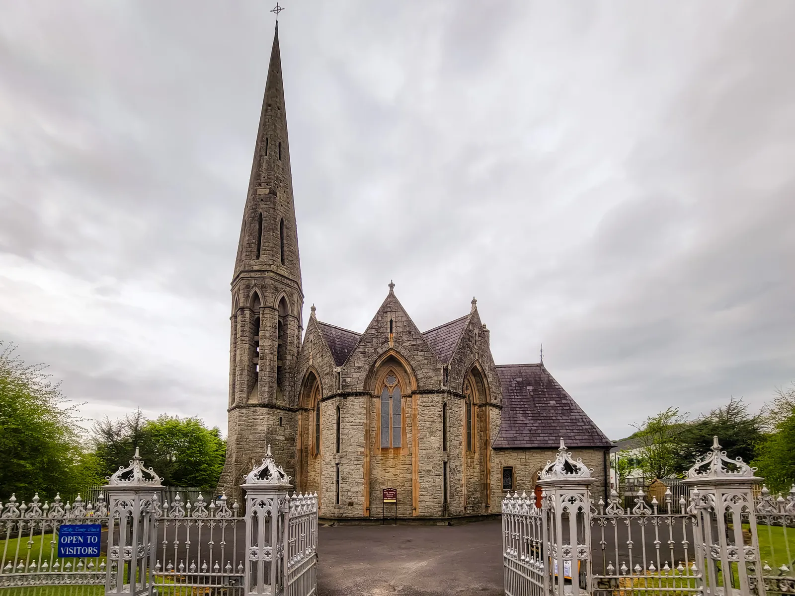
After leaving Connemara, we continued to Westport, a town frequently recommended by guidebooks, including Rick Steves, as a must see stop in western Ireland.
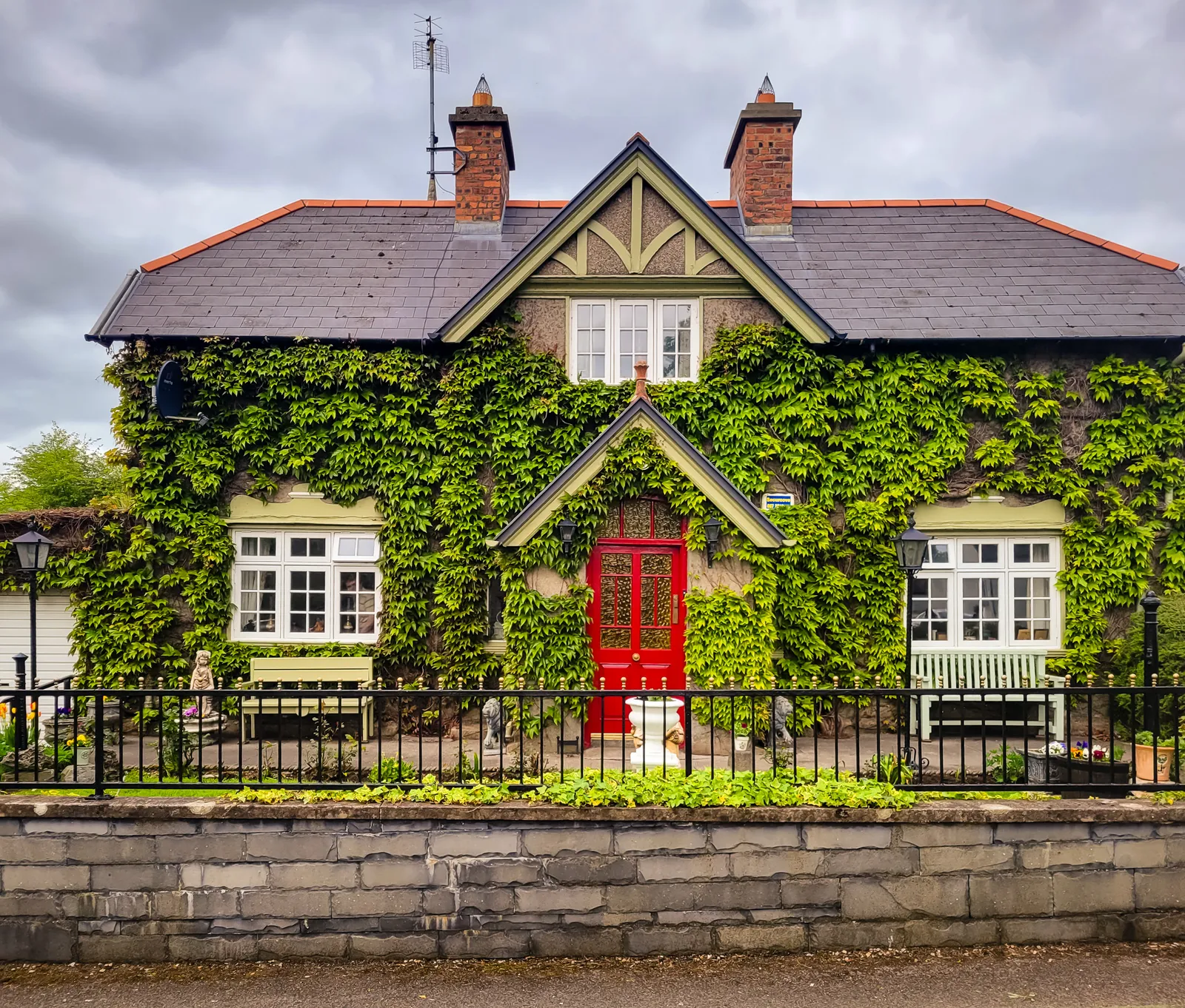
While Westport certainly has its fans, it didn't resonate with us the way other towns on our itinerary did. It felt more polished and affluent, lacking some of the traditional charm and rugged character we'd come to appreciate throughout our trip.
Of course, travel is personal, and every destination appeals to people for different reasons. Westport has plenty of history, a walkable town center, and an excellent reputation for food and music. It simply wasn't a standout for us.
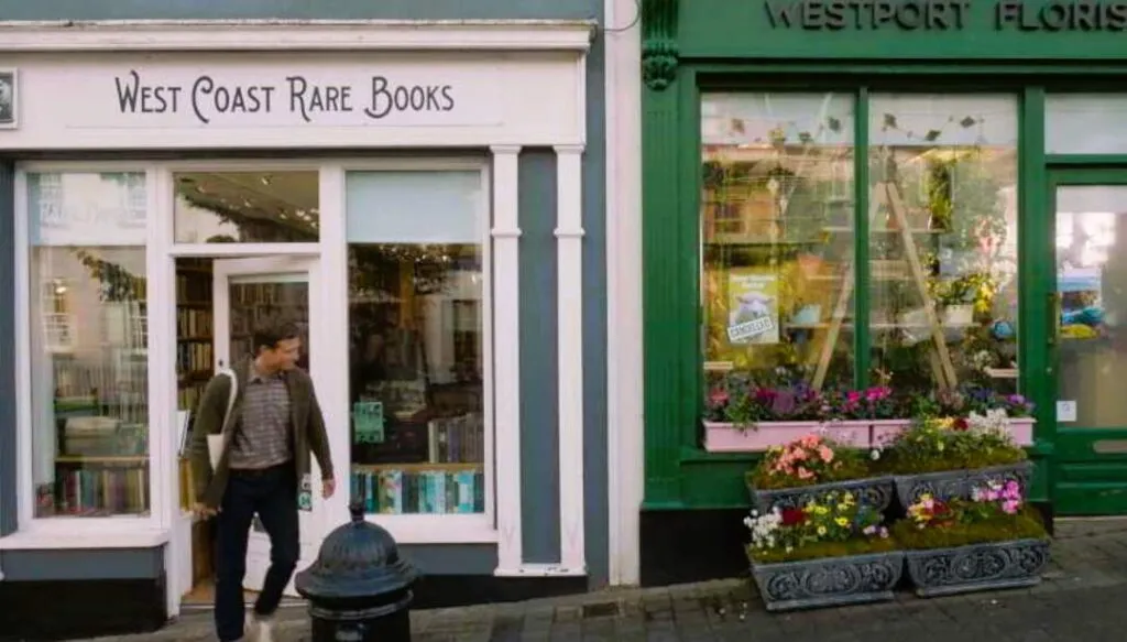
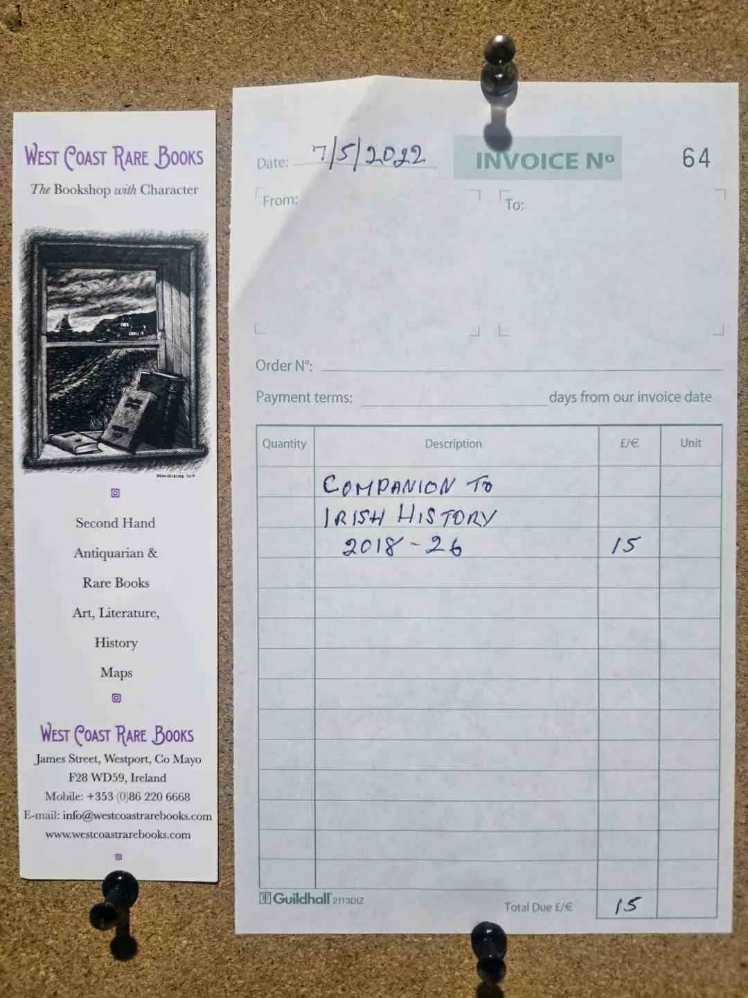
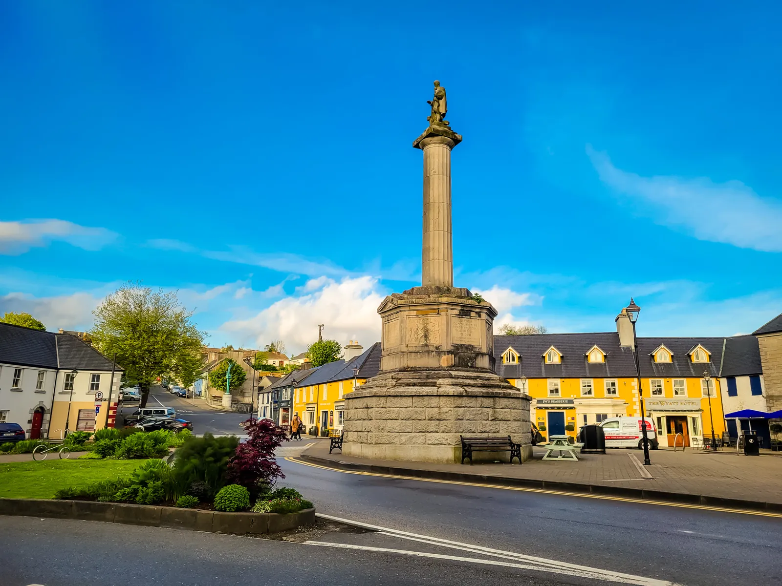
One unexpected surprise came years later while watching Irish Wish with Lindsay Lohan. We immediately recognized Westport, especially the Glendenning Monument in the Octagon and the bookstore featured in the film, where we had actually purchased a book on Irish history. Even more surprising, we visited in May 2022, just a few months before filming began that September.
Whether Westport is a highlight will depend on what you're looking for. If you enjoy colorful streets, boutique shops, and a lively dining scene, you'll likely love it. If you're drawn to rugged landscapes, ancient ruins, and quieter villages, you may find it less memorable. That's the beauty of travel. Every place offers something different.
A spontaneous stop on the way North
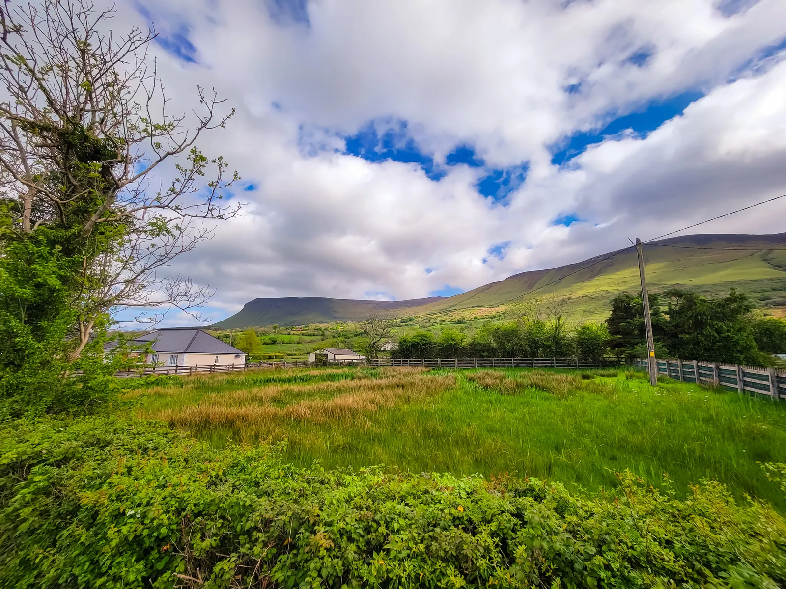
The drive from Westport to the Giant's Causeway takes about two and a half hours through increasingly dramatic landscapes. Although Donegal wasn't on our itinerary, after 90 minutes behind the wheel we were ready to stretch our legs.
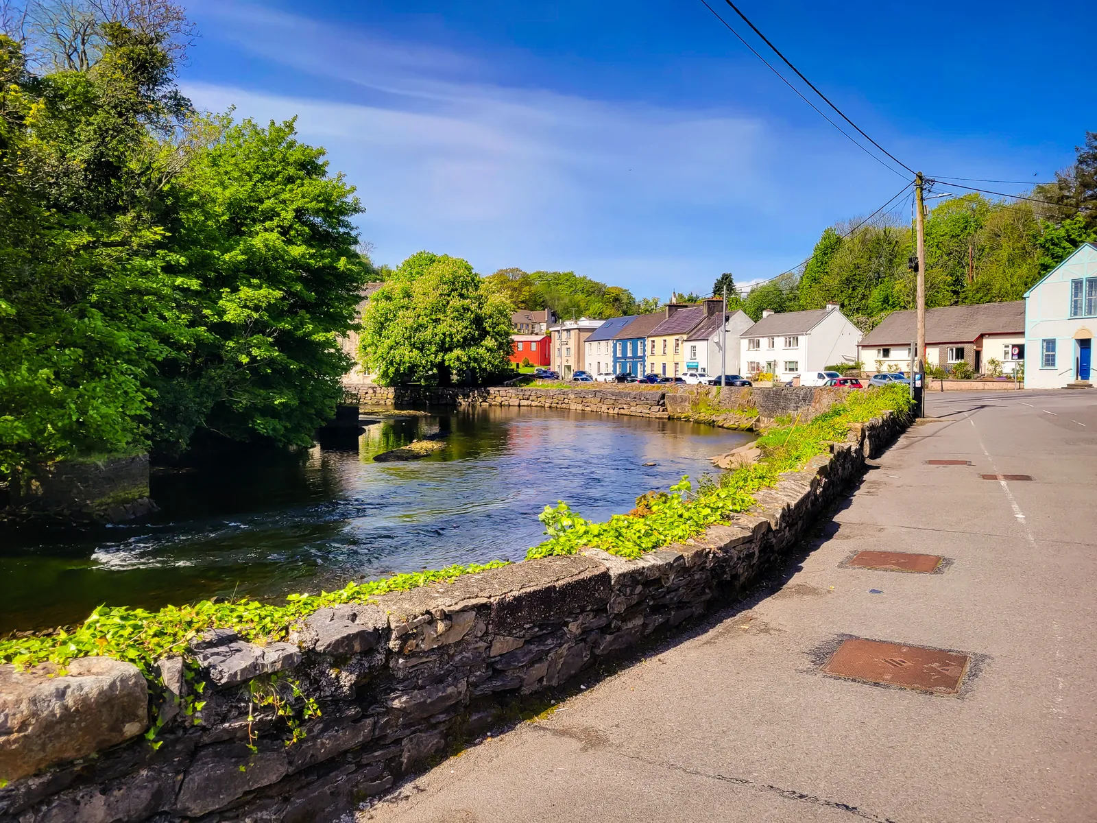
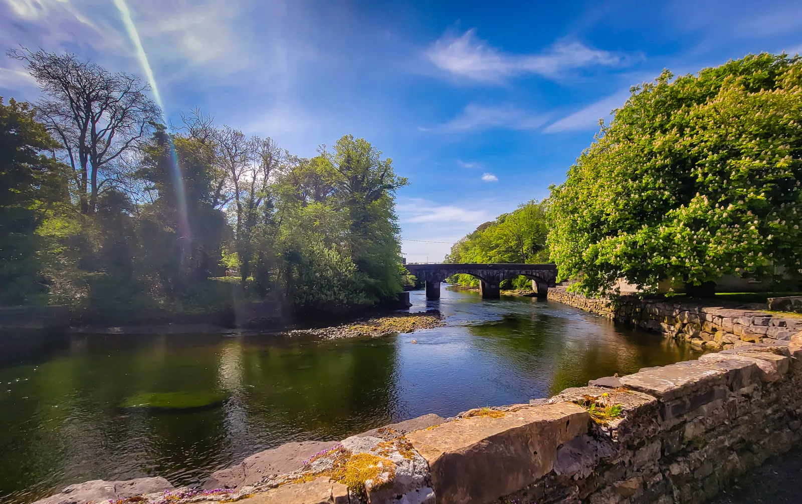
We parked near the River Eske and stepped into unexpectedly warm sunshine, a rare treat in northwest Ireland. Within minutes, we struck up a conversation with a local who perfectly captured Irish humor.
"I'm not sure the shorts in my drawer still fit," he laughed. "I've never had a chance to wear them."
The weather really was unusual for Donegal, and everyone seemed eager to enjoy it. Moments like these often become the best travel memories.
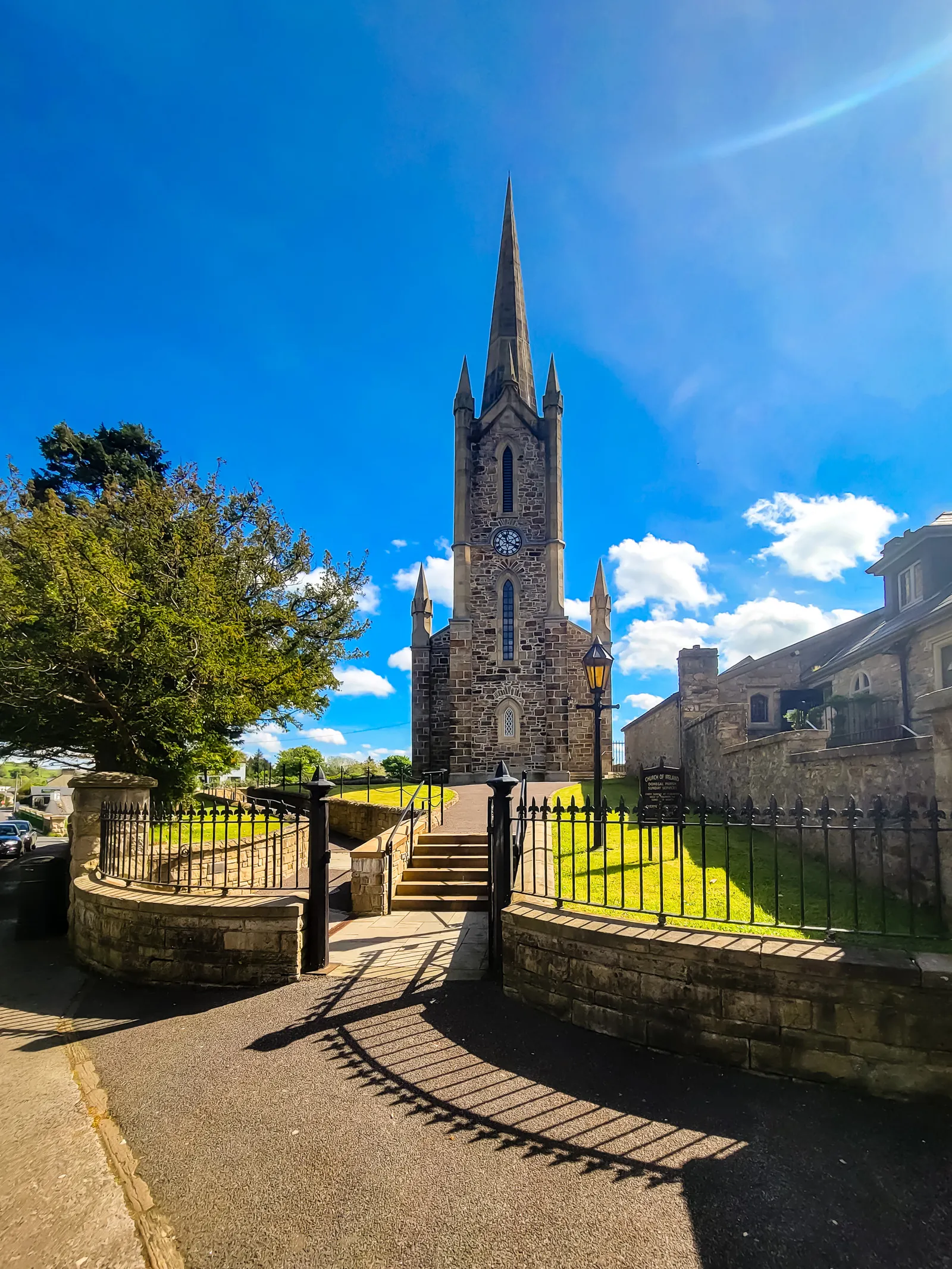
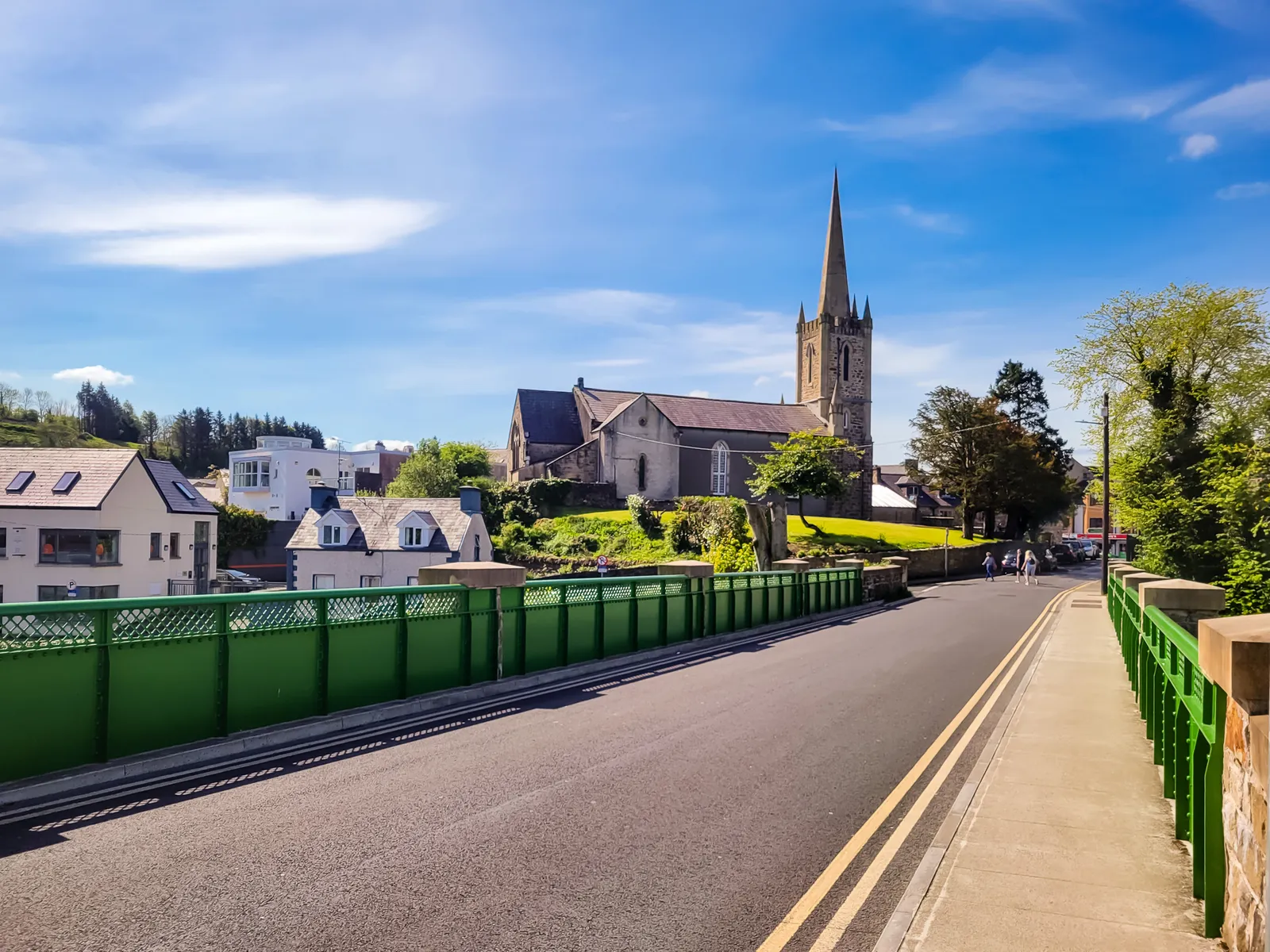
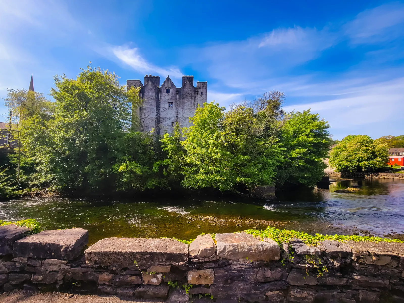
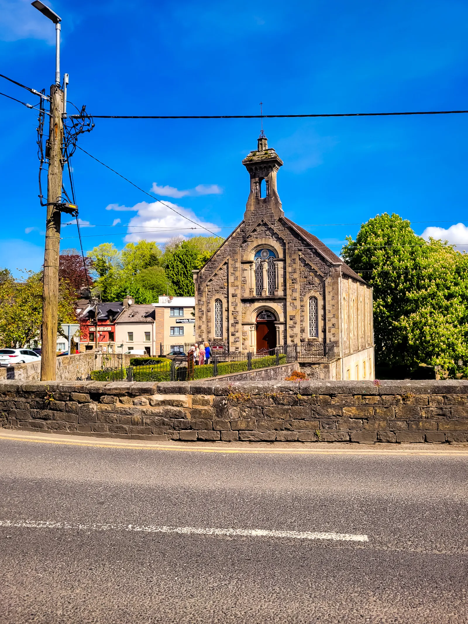
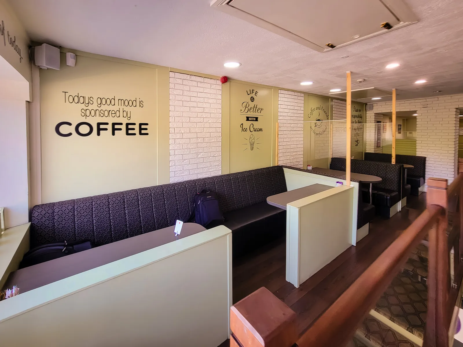
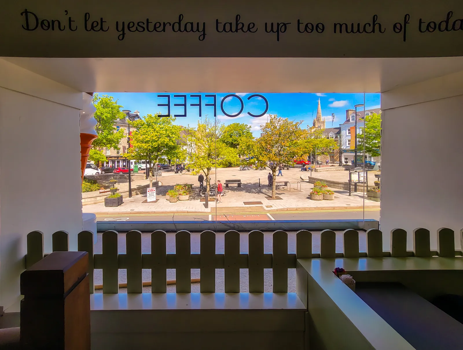
We wandered through the colorful town center to The Diamond, the historic square marked by an obelisk honoring the Four Masters, whose chronicles preserved much of Ireland's early history. After coffee and pastries at Little Mama's Café, we returned to the car wishing we'd planned more time in this charming town.
As we pulled away, it finally sank in that our Ireland adventure was nearing its end. Only two stops remained.
Crossing into Northern Ireland was surprisingly understated. A simple "Welcome to Northern Ireland" sign and road signs changing from kilometers to miles were the only clues we'd crossed a border. Otherwise, the same beautiful landscape stretched ahead beneath the same Irish sky.
A Coast Shaped by Fire & Folklore
We had been looking forward to our stay at the Giant's Causeway Hotel, and it exceeded every expectation. Located beside the entrance, the historic hotel has welcomed travelers since 1836 and sits just steps from the visitor center and coastal walking trails. We were surprised by how quickly we could leave the parking lot and be on the path.
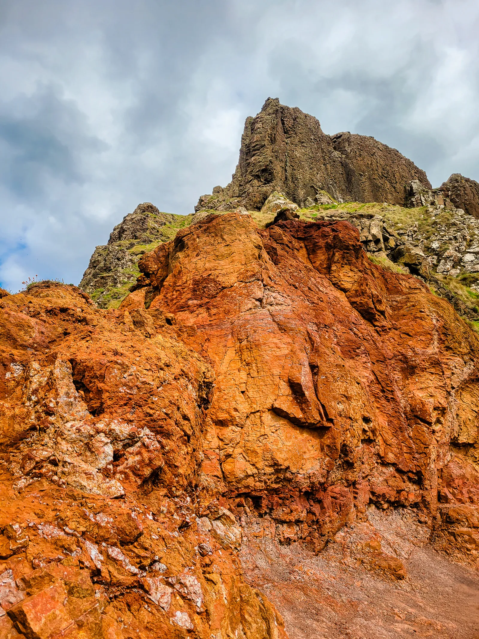
Rising from the North Atlantic along County Antrim's rugged coastline, the Giant's Causeway is one of the world's great natural wonders. More than 40,000 interlocking basalt columns, formed by volcanic eruptions millions of years ago, create the remarkable landscape that earned UNESCO World Heritage status in 1986. Today, the National Trust protects the site, while visitors are free to explore the Causeway and surrounding coastal trails.
Irish legend says the giant Fionn mac Cumhaill built the Causeway to challenge his Scottish rival. Science tells a different story, explaining how cooling lava formed the near perfect hexagonal columns. Somehow, both explanations add to its magic. Beyond the famous Grand Causeway, formations such as the Organ, the Amphitheatre, and the Giant's Boot make this one of Ireland's most unforgettable landscapes.
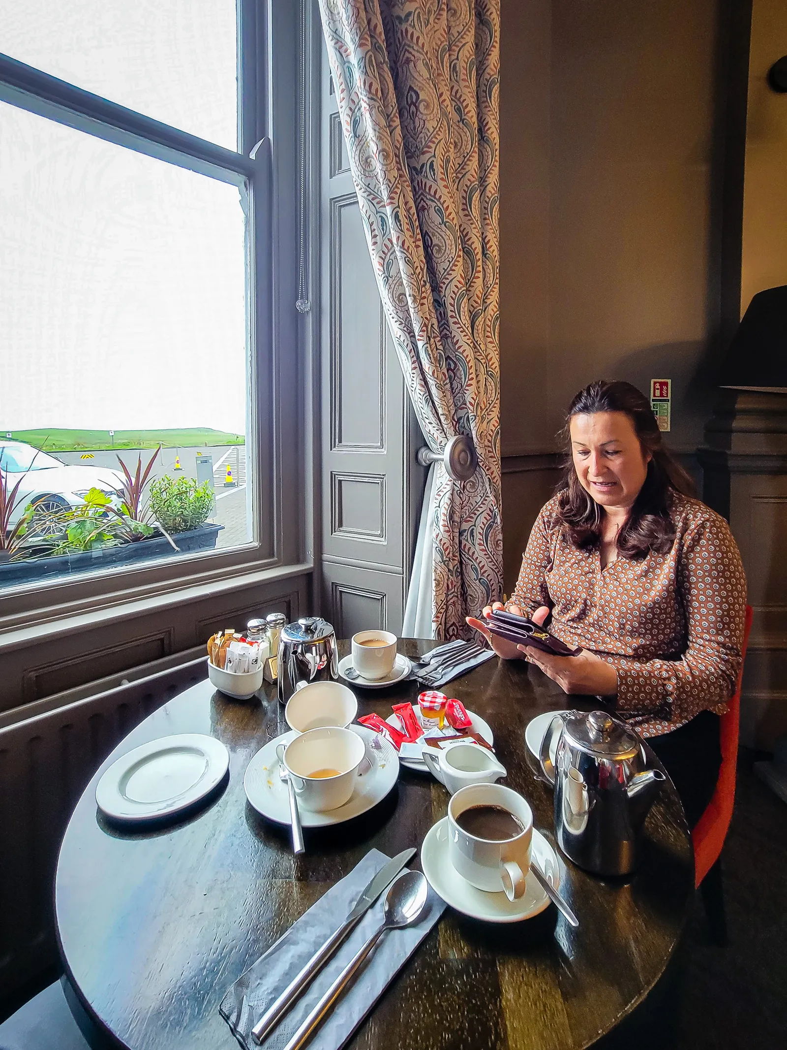
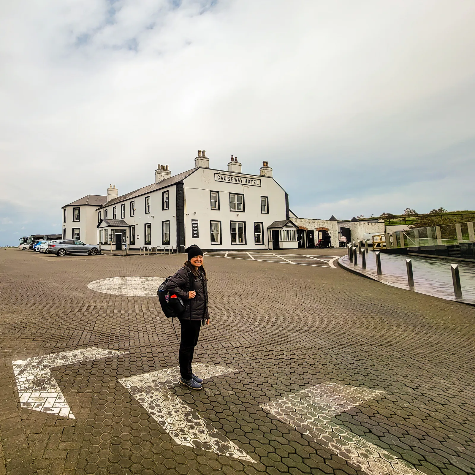
Excited to finally see the famous hexagonal basalt columns, we headed straight out after checking in. The Giant's Causeway is one of those places that feels otherworldly, a dramatic coastline shaped by myth and geology in equal measure.
From the visitor center, we took the steep Shepherd's Steps down, the most direct and accessible path following the road down to the stones. It's the quickest route to reach the basalt columns, perfect if you want to get right to the heart of this volcanic wonder.
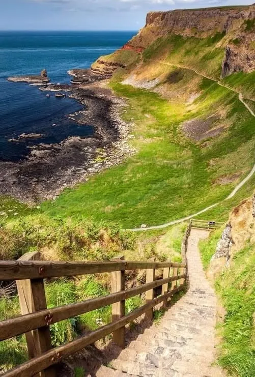
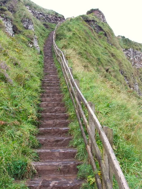
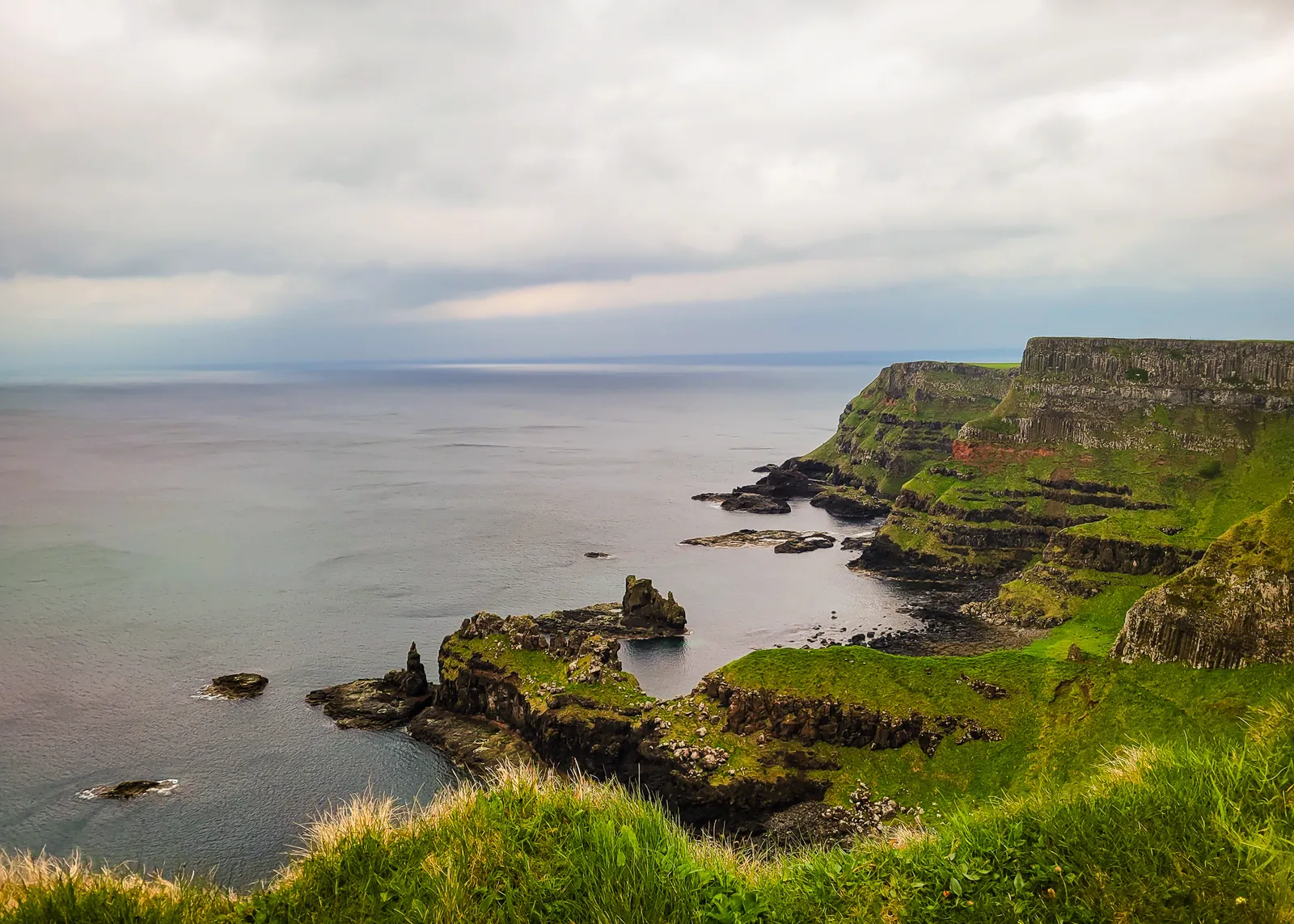
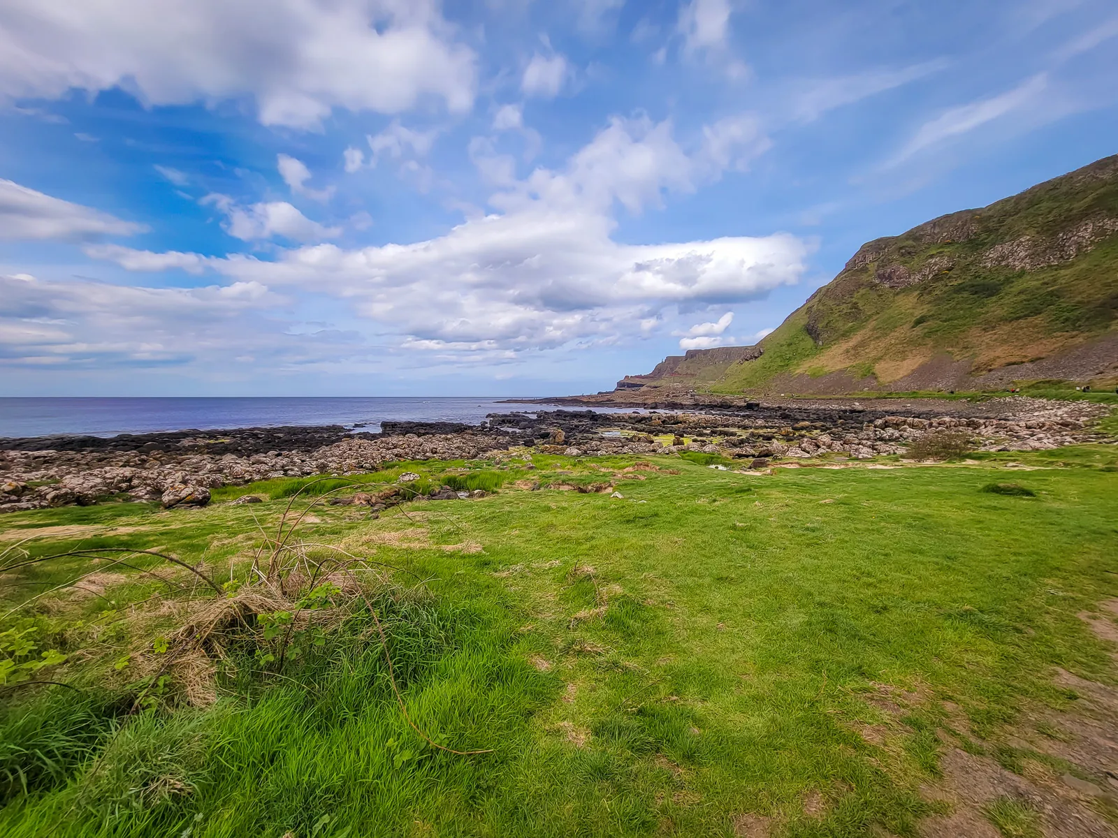
Once you descend the steps, you're greeted by Port Noffer (Bay of the Cow), where emerald grass bends to the Atlantic winds and for your short visit the ocean becomes your soundtrack. The contrast between the green clifftops and dark basalt below creates a scene that photos never quite capture.
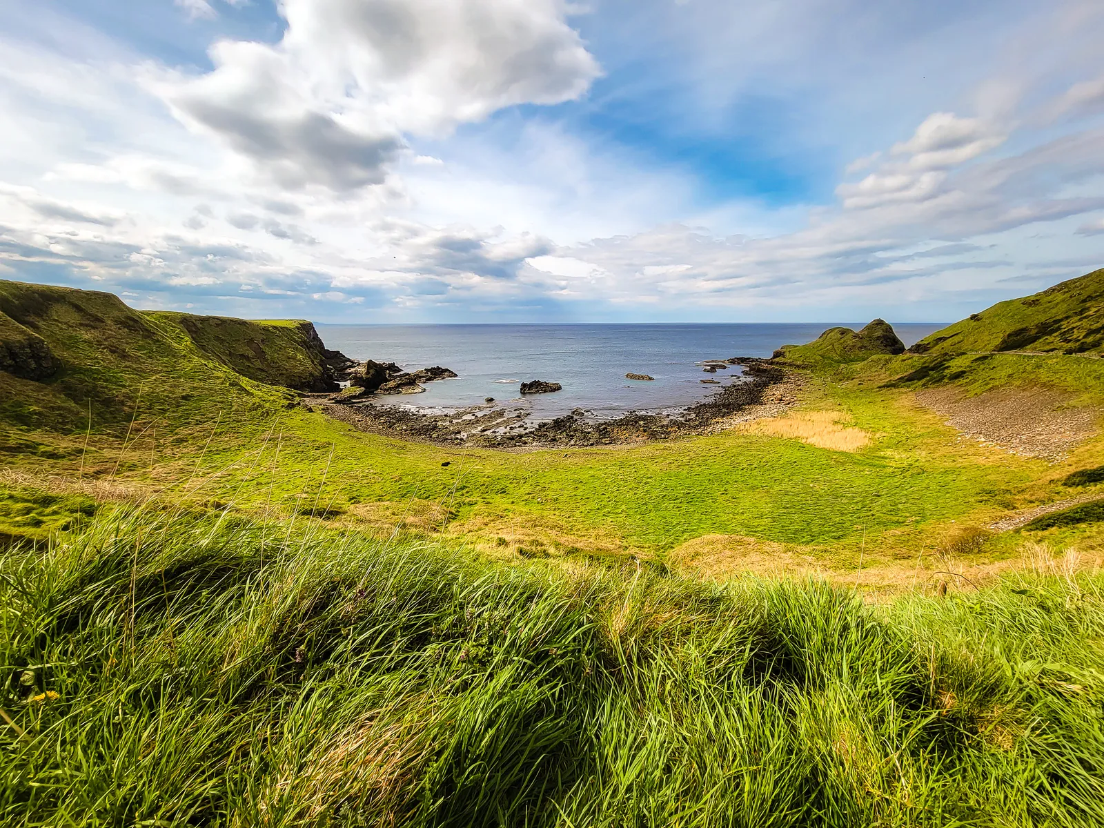
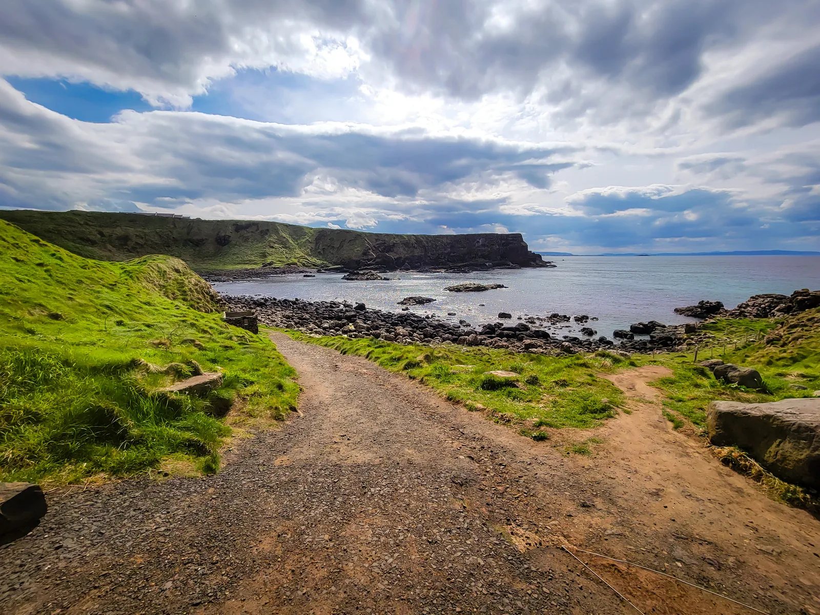
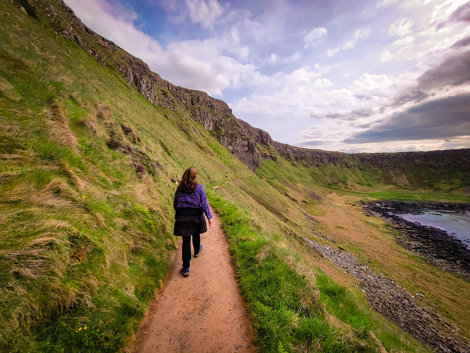
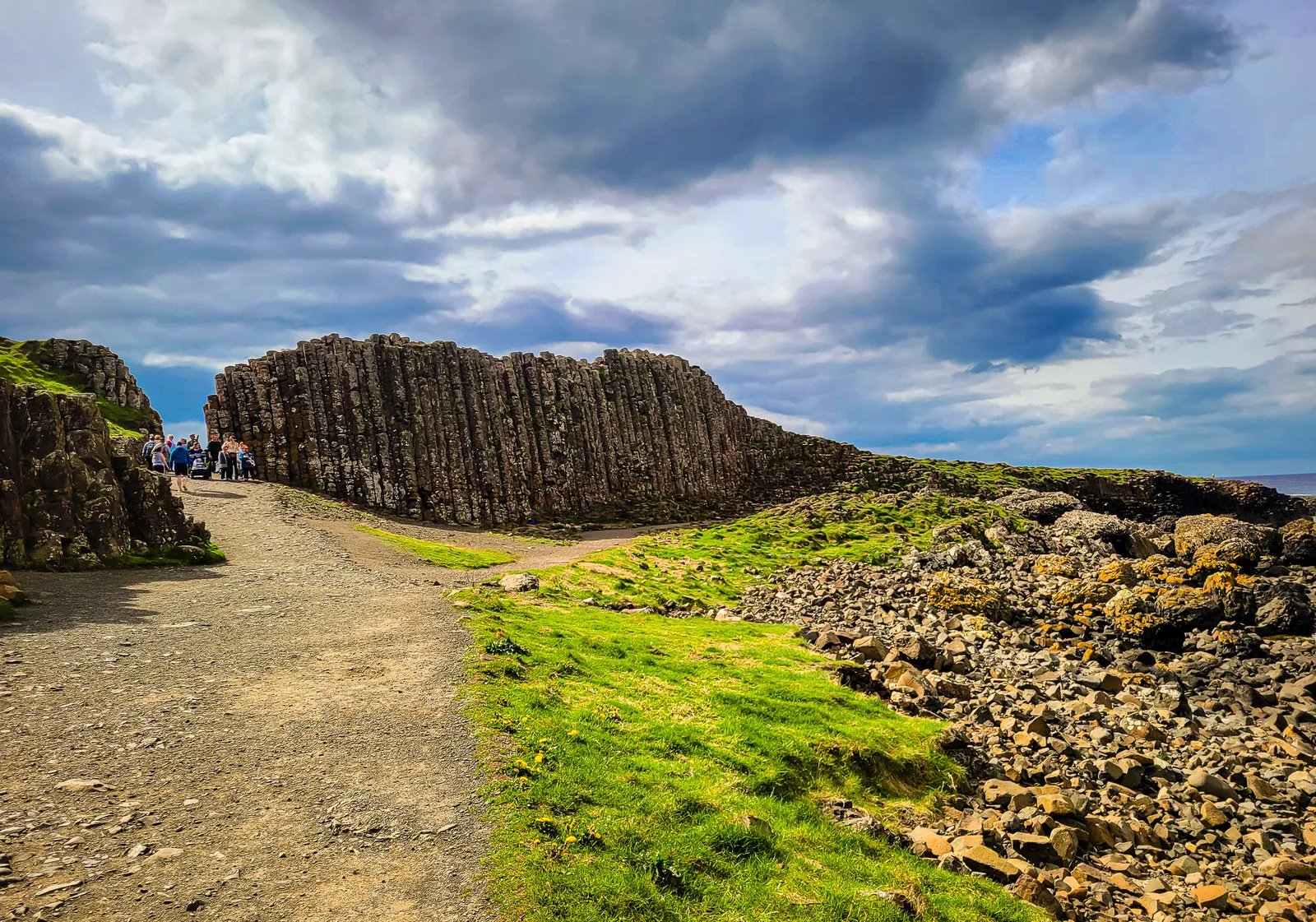
Making our way along the coast, we finally arrived at The Grand Causeway, the main attraction where the basalt columns are largest, most regular, and densely packed. These stones step down toward the sea like a giant's pathway, creating the iconic image that appears on every Northern Ireland postcard.
Standing on these perfectly geometric stones, formed by ancient lava cooling and cracking with mathematical precision, feels like walking on nature's own art installation.
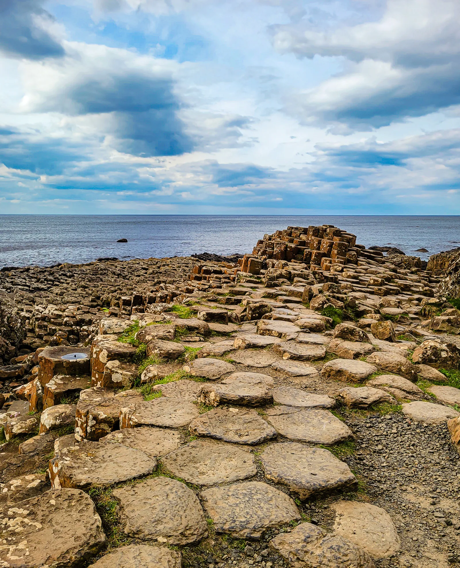
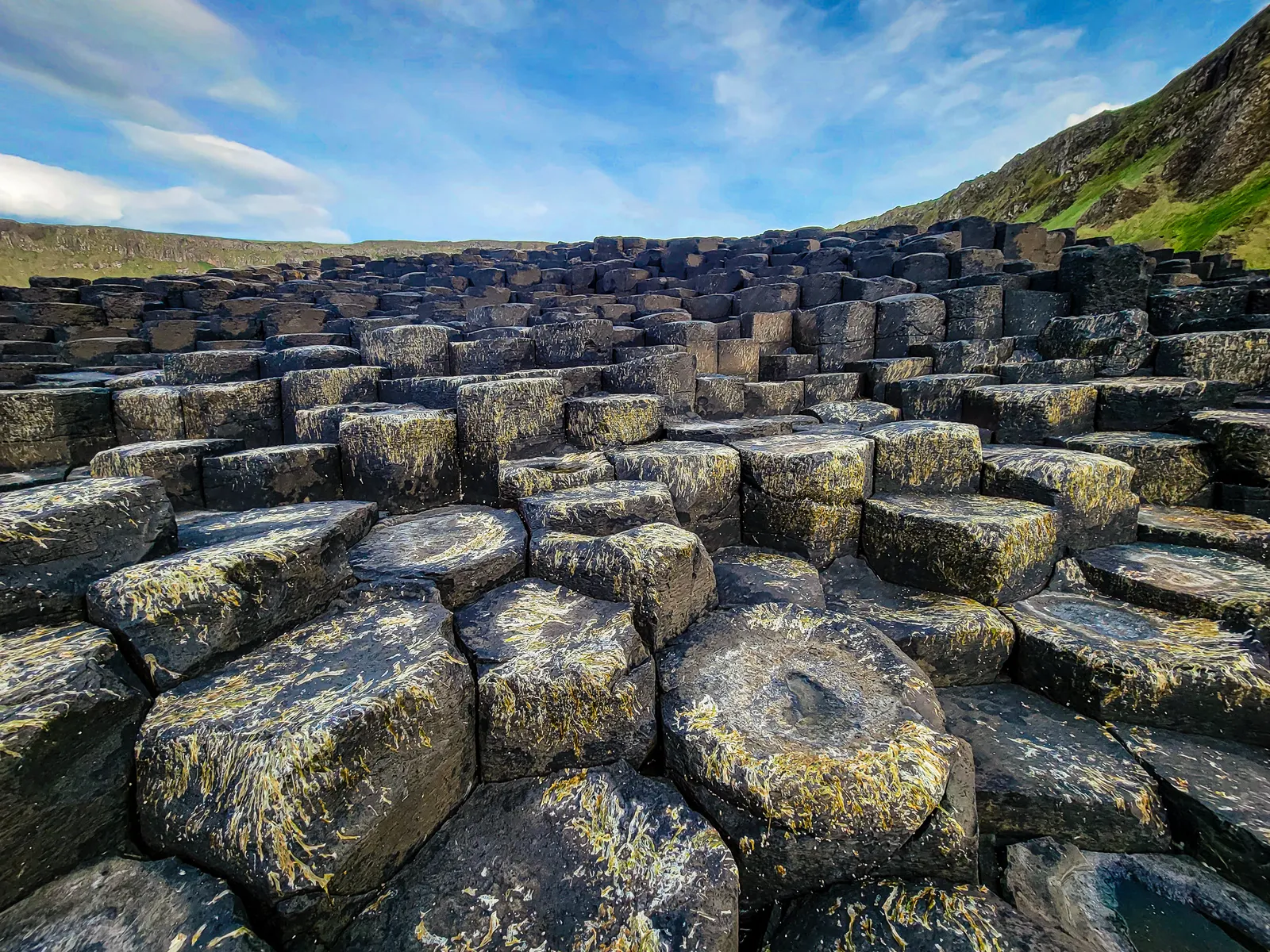
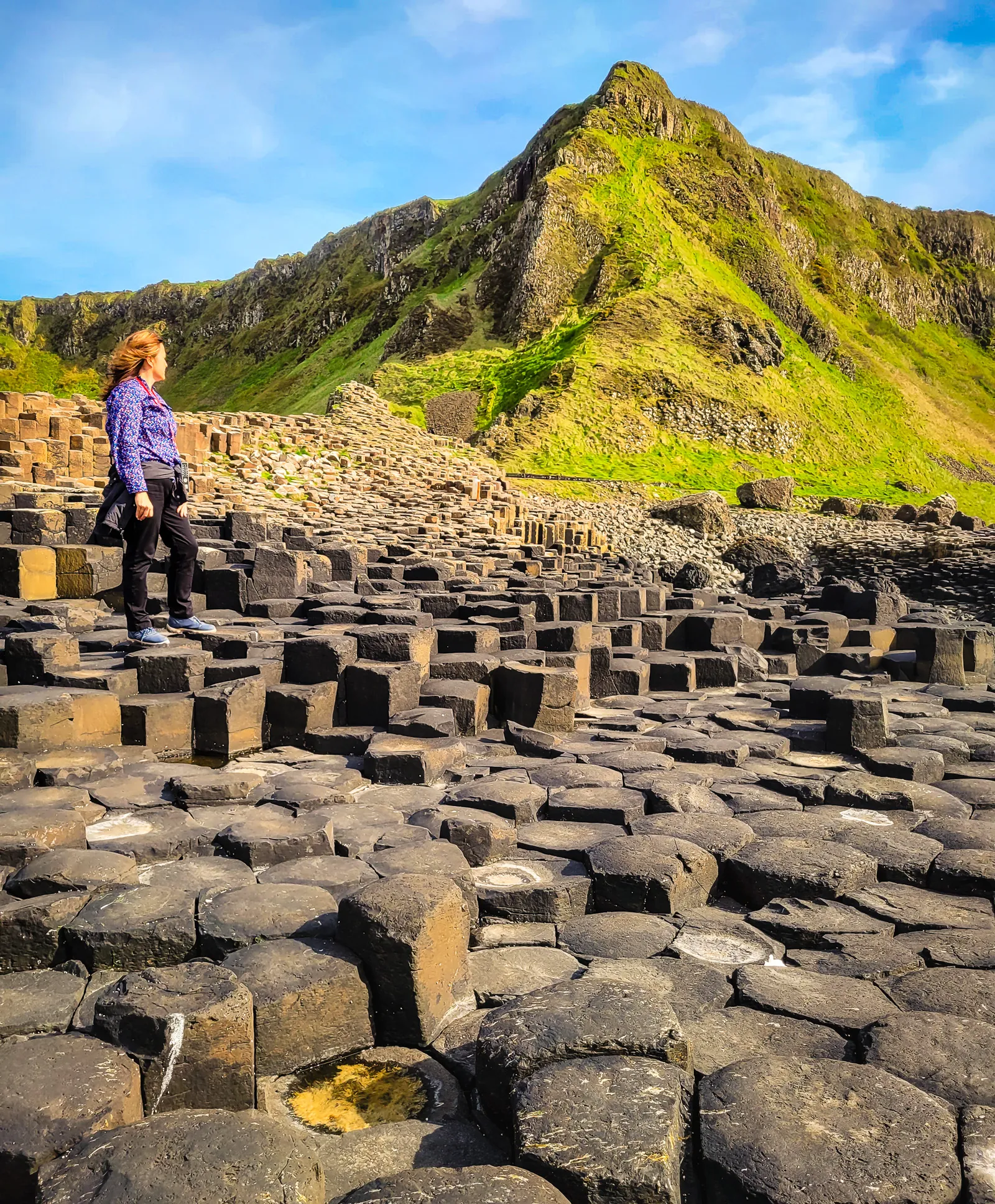
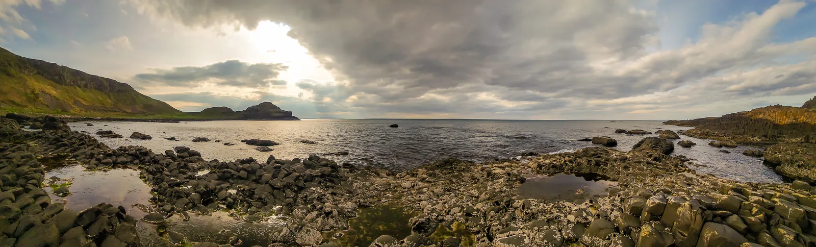
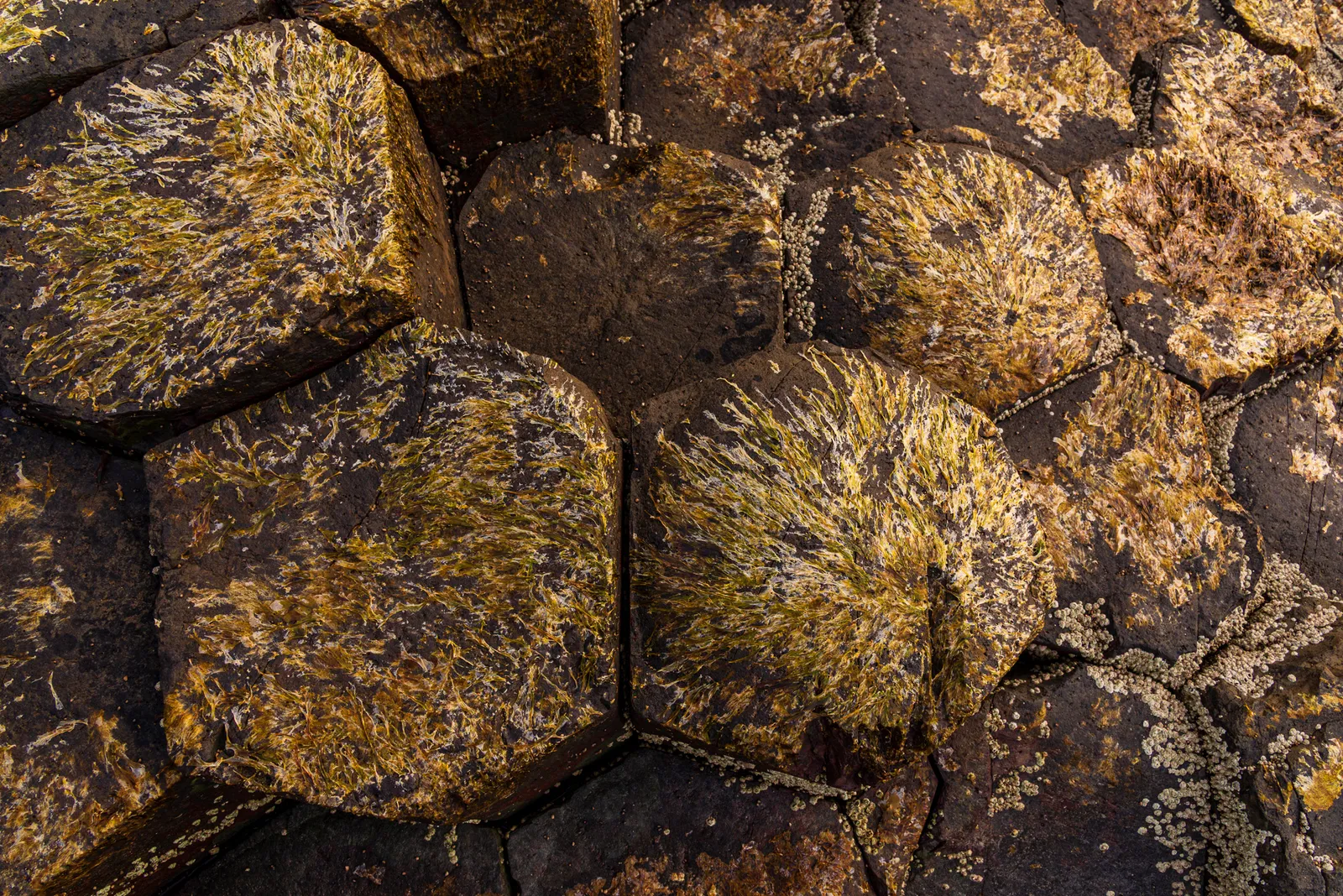
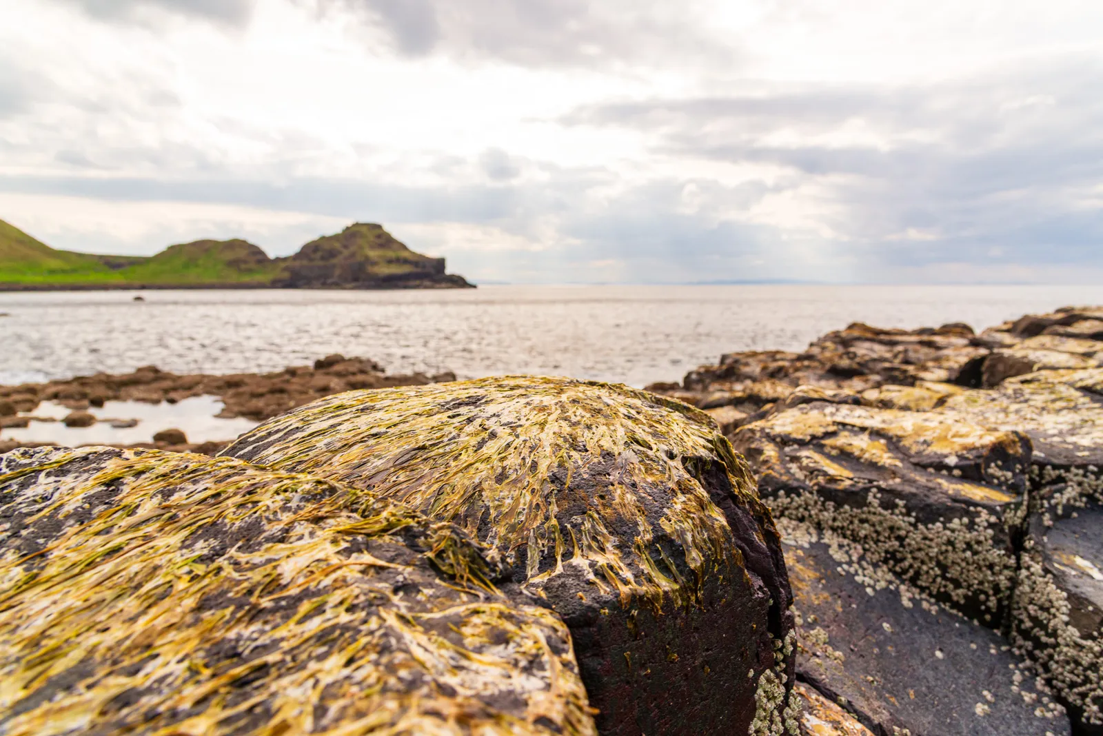
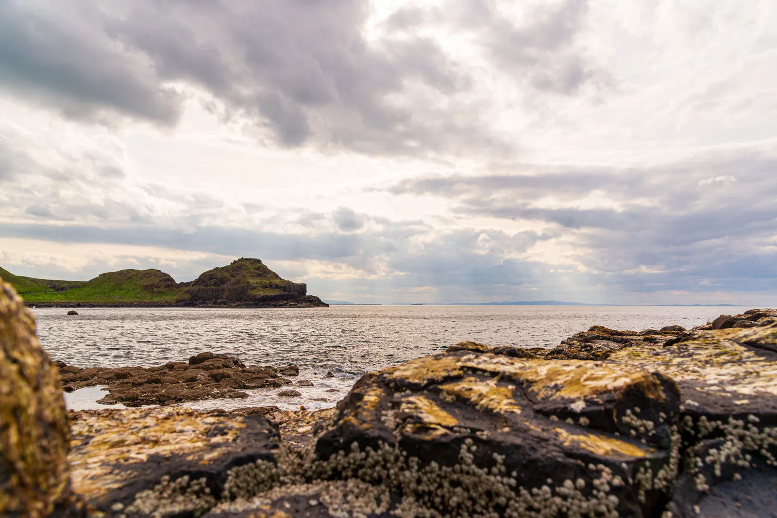
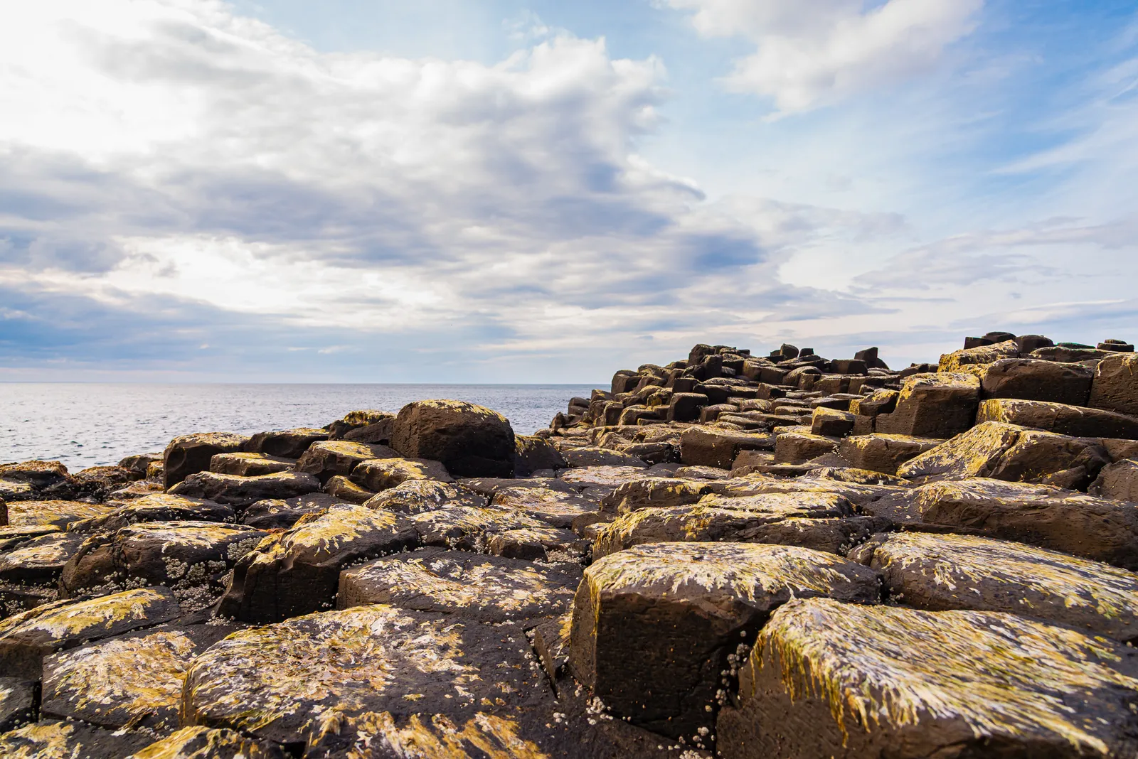
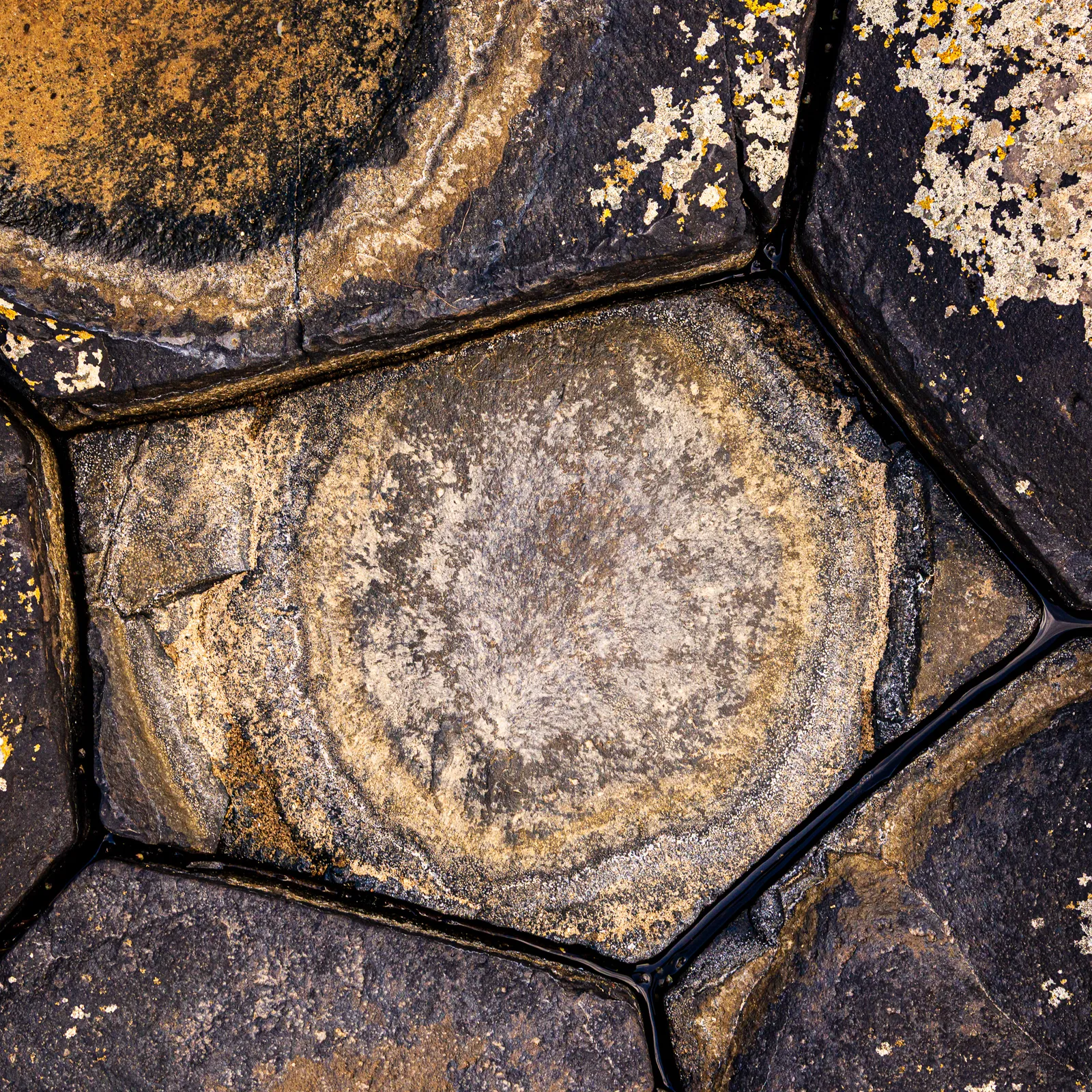
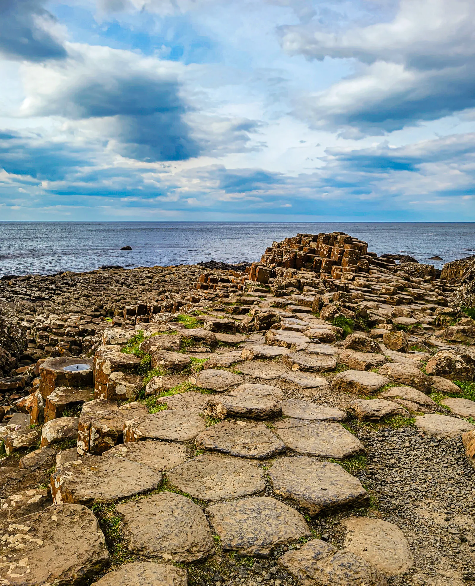
After exploring the main Causeway, we passed through the Giant's Gate, a natural corridor of towering basalt columns that frames the path ahead, and followed the trail that leads up to the Organ and eventually the Amphitheatre.
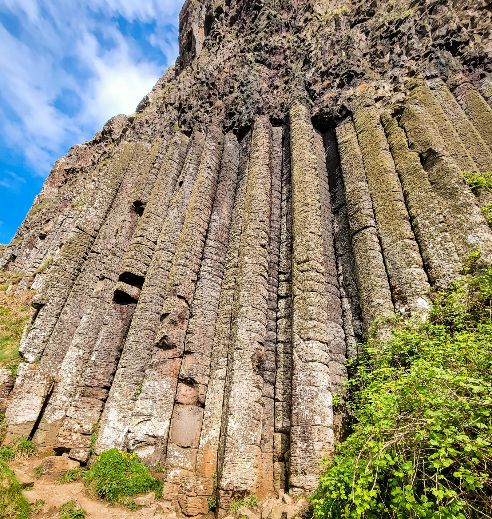
After capturing the Causeway from every angle, we wandered along the paths to take in some of its most striking formations. Towering vertical columns known as the Organ rise like the pipes of a church against the cliff base, while the Giant's Boot juts out in a shape that truly lives up to its name. The Amphitheatre, a natural bay framed by near-perfect columns, reveals its dramatic scale from both the shore and the clifftop.
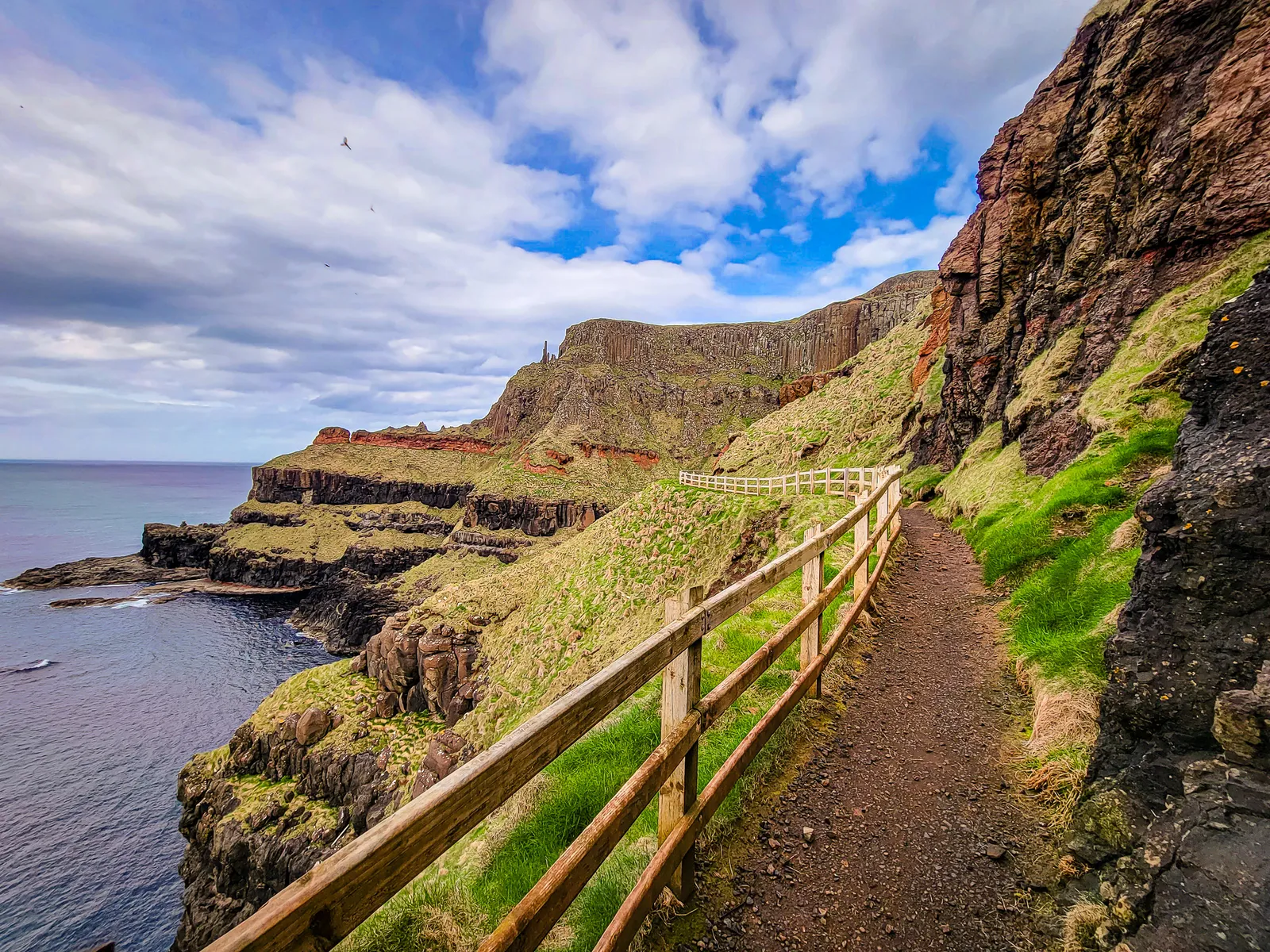
We followed the Blue Trail from the visitor center and then linked up with the Red Trail, climbing above the Causeway to see the Amphitheatre from above. This loop provides some of the best perspectives, offering views of the Organ from the coastal path and sweeping vistas of the Amphitheatre before returning along the main road.
The evening slowed down in the best way possible. Dinner in the hotel dining room came with uninterrupted views of the coastline, the light fading gradually as the sea turned darker and the sky settled into muted tones. After a day shaped by wind, stone, and movement, it felt good to sit still and simply take it in. The meal was comforting and uncomplicated, exactly what the moment called for.
Later, we retreated to our room and let the night unfold quietly. A nightcap and The Quiet Man on the laptop felt like the natural choice, tying together the day's themes of Irish landscapes and legends. It was an easy, unplanned ending, one that felt perfectly in step with the pace of the coast.
- Location: Giant's Causeway, County Antrim, Northern Ireland
- Driving Time from Galway City: Approximately 4.5–5.5 hours (including border crossing and rest stops)
- Parking: Paid parking available at the Giant's Causeway Visitor Centre; shuttle or downhill walk to the stones
- Causeway or Area Size: Roughly 18 acres along the Antrim coastline
- Geology: Around 40,000 interlocking basalt columns formed by ancient volcanic activity
- UNESCO Status: UNESCO World Heritage Site since 1986
- Legend: Linked to the Irish giant Finn McCool and a mythical crossing to Scotland
- Highlights: Hexagonal basalt columns, coastal cliffs, sea stacks, and Atlantic Ocean views
- Difficulty: Easy walking paths with uneven and slippery stone surfaces
- Time Needed: 2–4 hours for the causeway, viewpoints, and short coastal walks
- Best Time to Visit: Early morning or late afternoon for fewer crowds and better light
- Weather Tip: Strong coastal winds and sudden weather changes are common
Dark Hedges, Gracehill House estate
After the Causeway, we made a short detour to the famous Dark Hedges. Planted in the late 1700s by James Stuart to frame the entrance to his Gracehill House estate, the avenue has become one of Northern Ireland's most photographed sights. Its tunnel of beech trees, their branches twisting overhead, creates an eerie yet beautiful canopy that feels almost otherworldly.
The site gained worldwide fame after appearing as the "King's Road" in Game of Thrones. While social media makes it look serene and empty, the reality was far more crowded and less cinematic, even in the rain. Still, with its blend of history, myth, and the ghostly legend of the "Grey Lady", it's worth a stop.
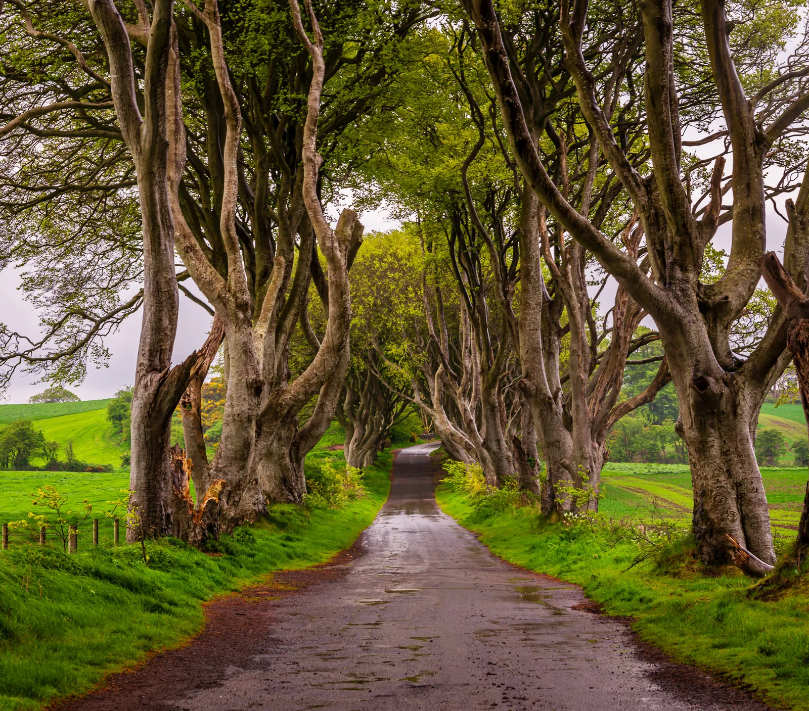
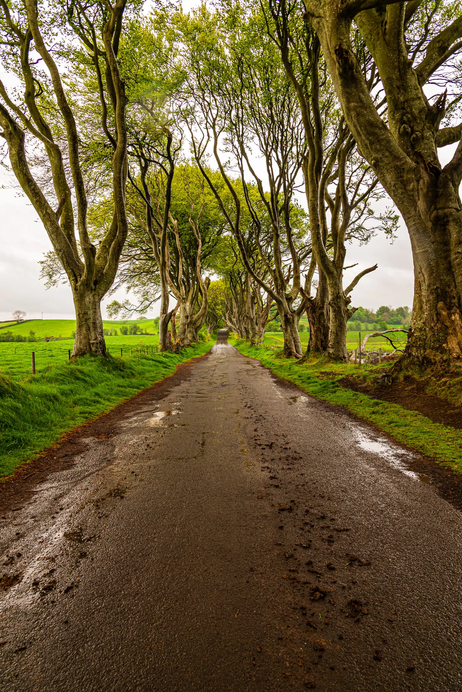
- Location: Near Armoy/Stranocum, County Antrim, Northern Ireland
- Planted: Circa 1775 by James Stuart of Gracehill House
- Famous For: Featured as the "King's Road" in Game of Thrones
- Tree Type: Beech trees forming a twisting, atmospheric canopy
- Legend: The "Grey Lady" ghost story tied to local folklore
- Time Needed: 30–60 minutes depending on photos and crowds
- Access Note: Walking only, no driving on Bregagh Road to preserve the trees
- Parking: Off the main B147 on Ballinlea Road at The Hedges Hotel / Dark Hedges Estate (short walk) – historically free, but some recent visitor reports suggest a small fee may apply (confirm locally)
- Parking Tip: Arrive early (before mid-morning) to secure a spot, especially in peak summer
- Best Tip: Visit early morning, just before sunrise, for the heaviest mist and most atmospheric photos.
A City Defined by Struggle and Resilience
Our final stop was Belfast, a city I had known only through news reports about the Troubles. Visiting in person gave me the chance to connect those childhood headlines with the people and places behind them, transforming history from something distant into something human.
We began with a Black Cab Tour, which is essential for any visit. Our driver, probably in his sixties, guided us through Falls Road and Shankill, passing murals, memorials, and the towering peace walls that still separate parts of the city.
What struck me most was that he wasn't simply telling history. He had lived it. Like many people of his generation, he carried firsthand memories of the violence that shaped Belfast from the late 1960s until 1998. These drivers are living historians, sharing stories no guidebook can fully capture.
The murals ranged from colorful tributes to sobering political statements, each layered with meaning. Our driver explained the symbolism, the artists, and the events behind them. When he mentioned that the peace wall gates still close each night, we were genuinely surprised. For him, it wasn't a historical footnote. It was everyday life.
What impressed me most was how Belfast acknowledges its past without being defined by it. The city carries its scars with honesty while continuing to move forward. There is resilience here and a quiet determination to keep healing.
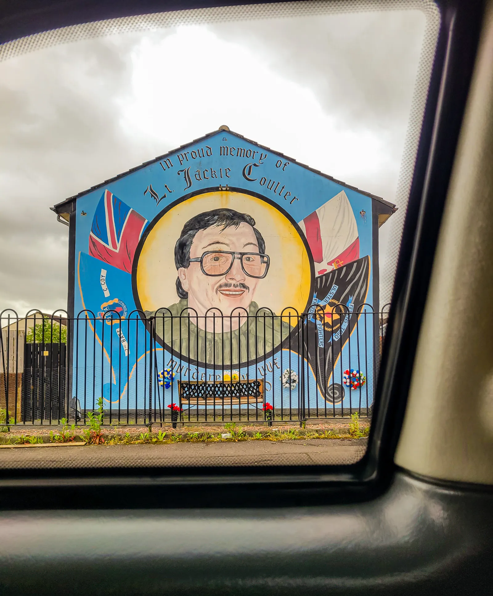
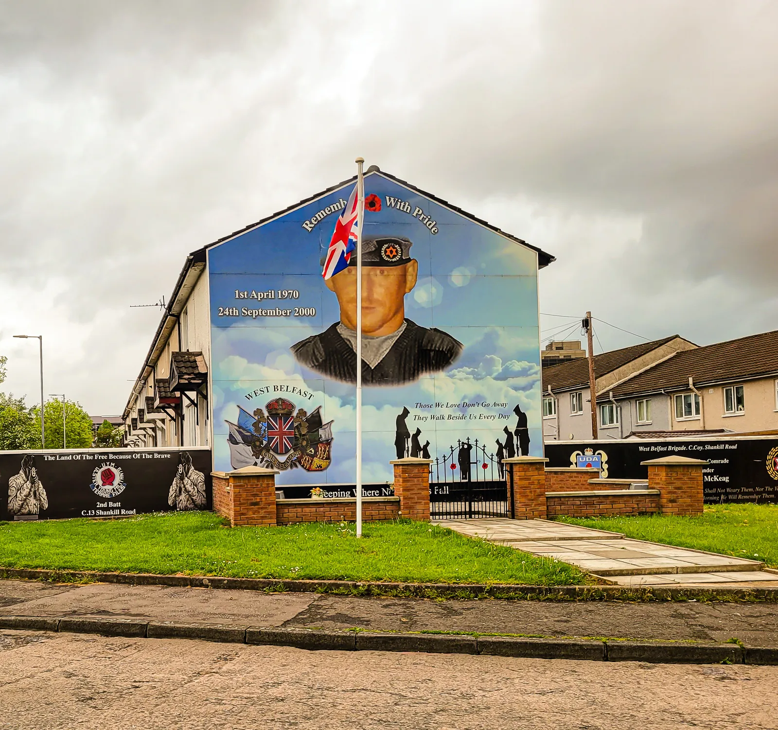
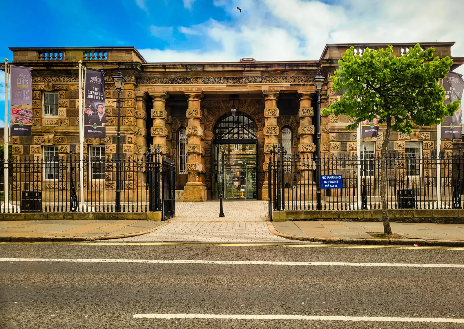
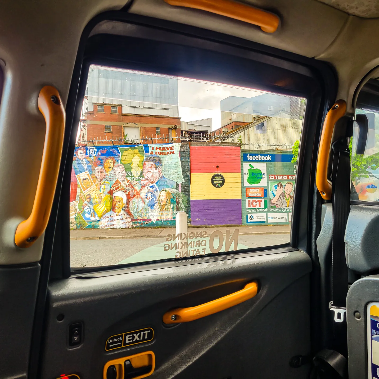
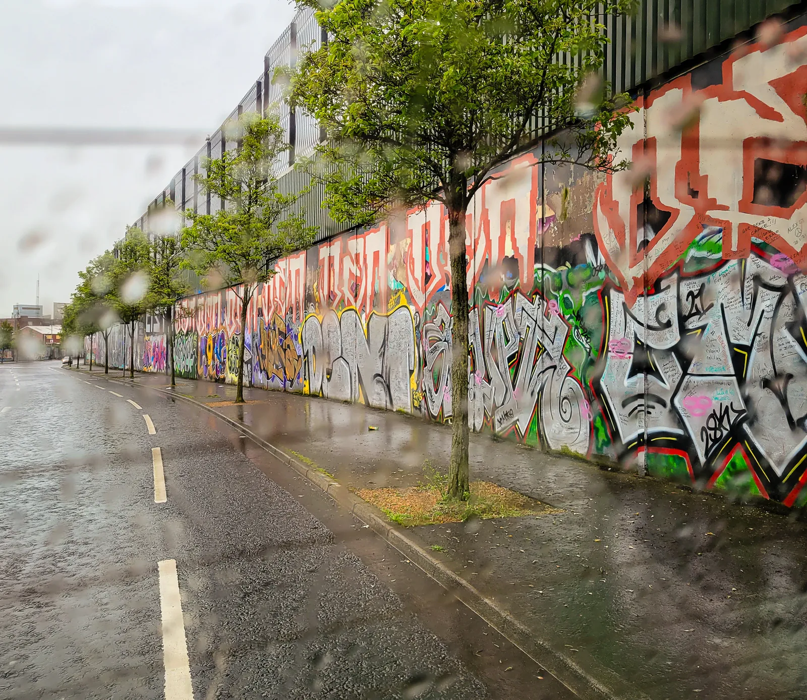
The next morning, we explored the Cathedral Quarter on foot through classic Irish weather of rain, clouds, and brief bursts of sunshine. The neighborhood is filled with Victorian architecture, narrow lanes, and inviting pubs around nearly every corner. Instead of visiting the Titanic Experience, we chose to simply wander.
Along Donegall Street, we discovered that Belfast was the first place outside America to publish the Declaration of Independence in 1776, even before King George III received it. The Belfast News Letter took that remarkable step despite British rule, a reminder that Belfast has long had an independent spirit.
If you're planning a visit, the Cathedral Quarter is an excellent place to stay. It's walkable, lively, and close to restaurants, pubs, and shopping. And whatever else you do, book a Black Cab Tour. It will change the way you experience the city.
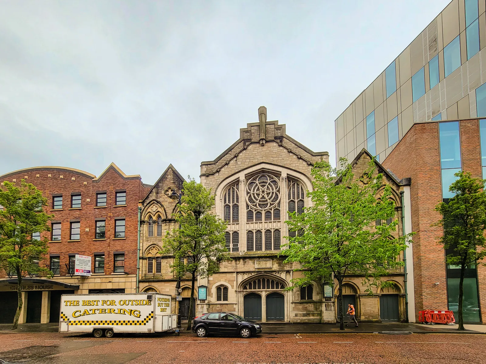
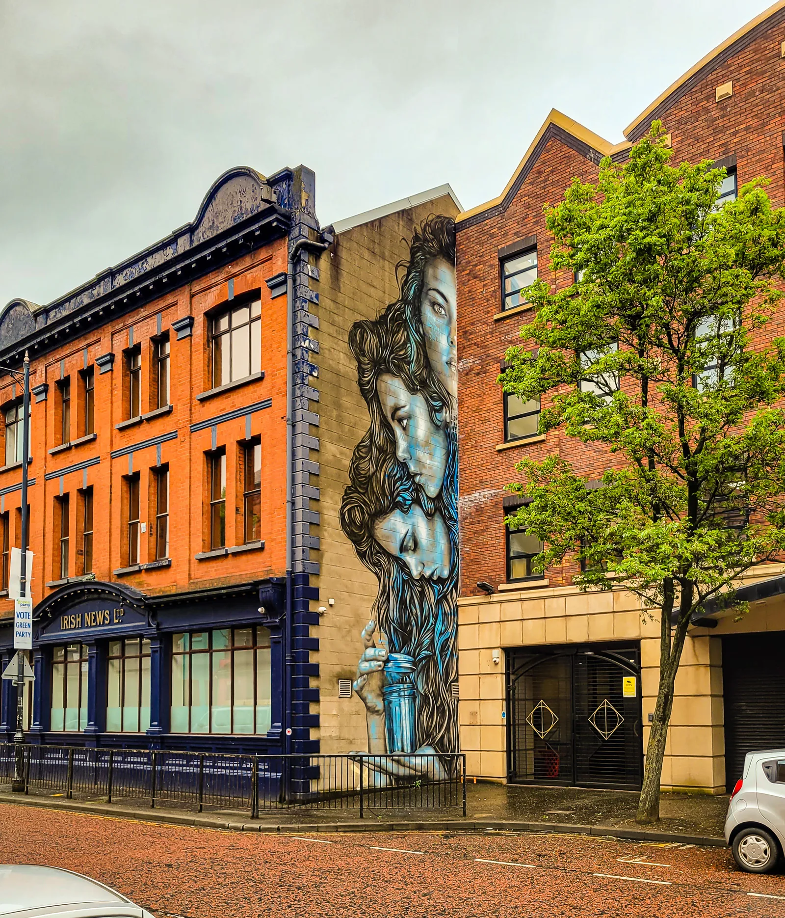
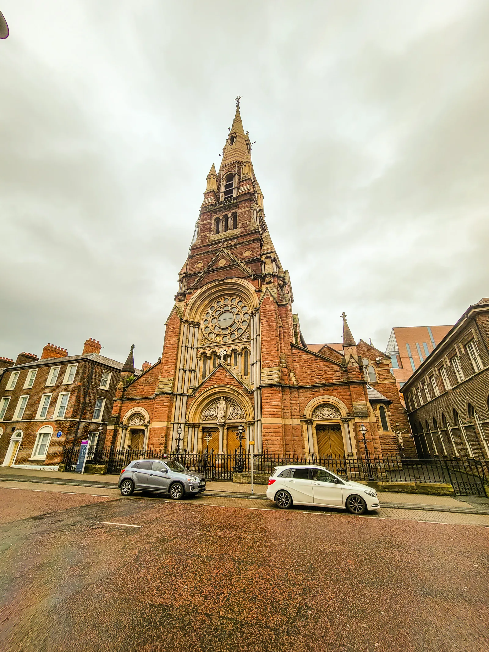
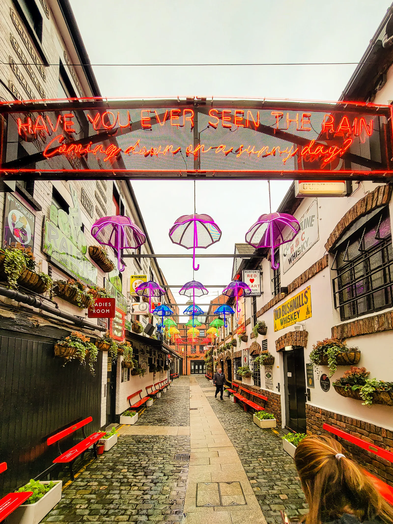
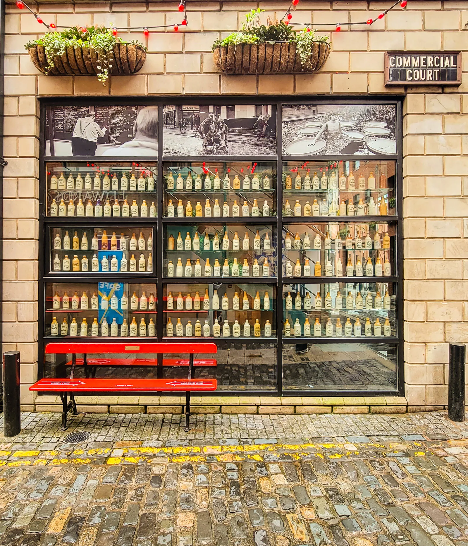
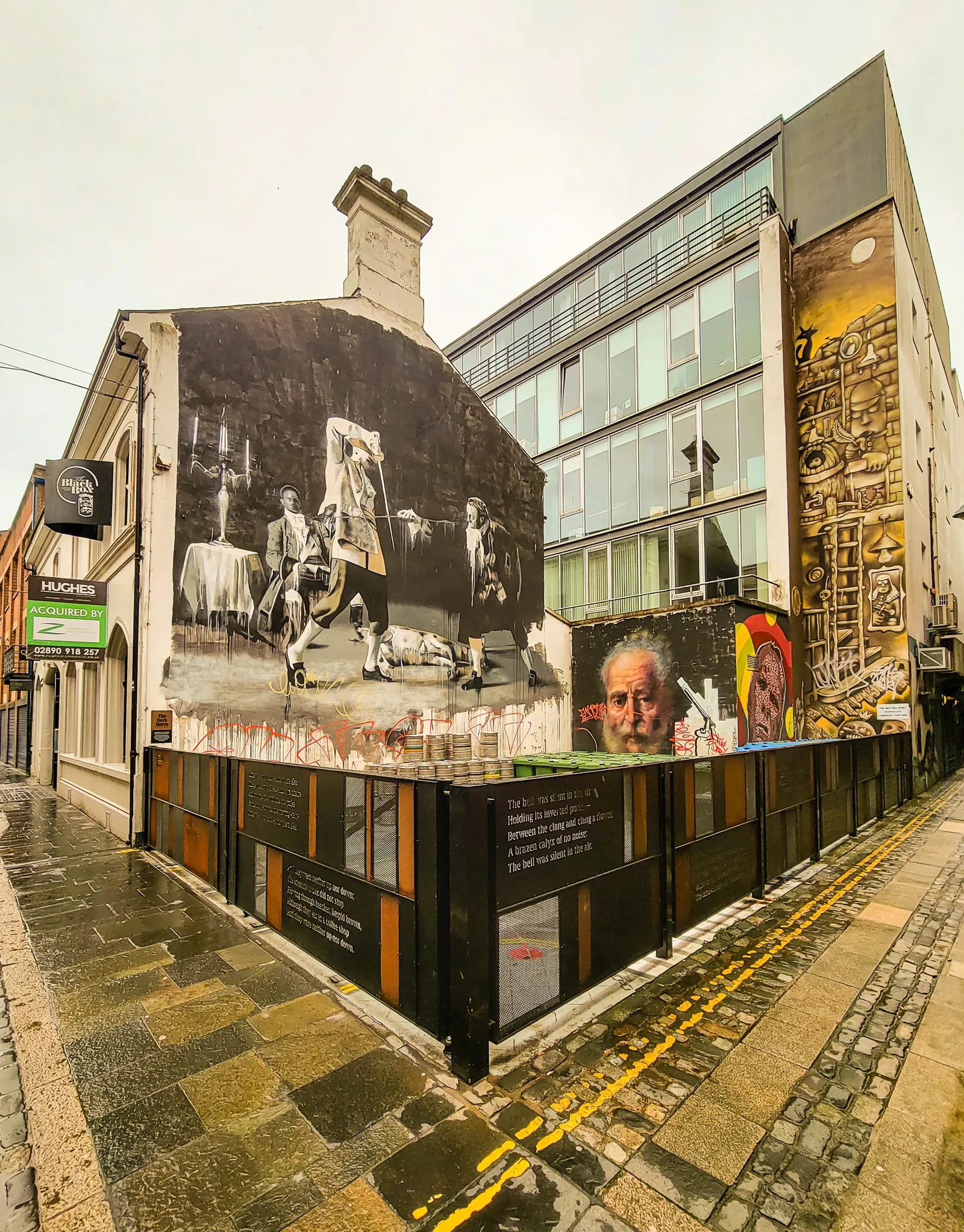
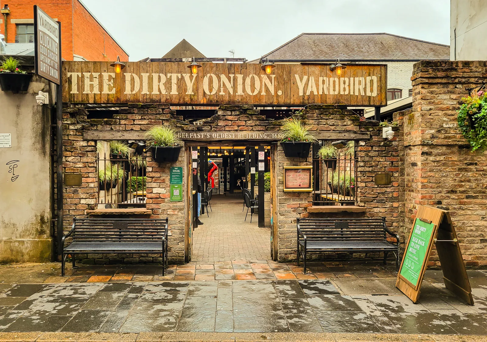
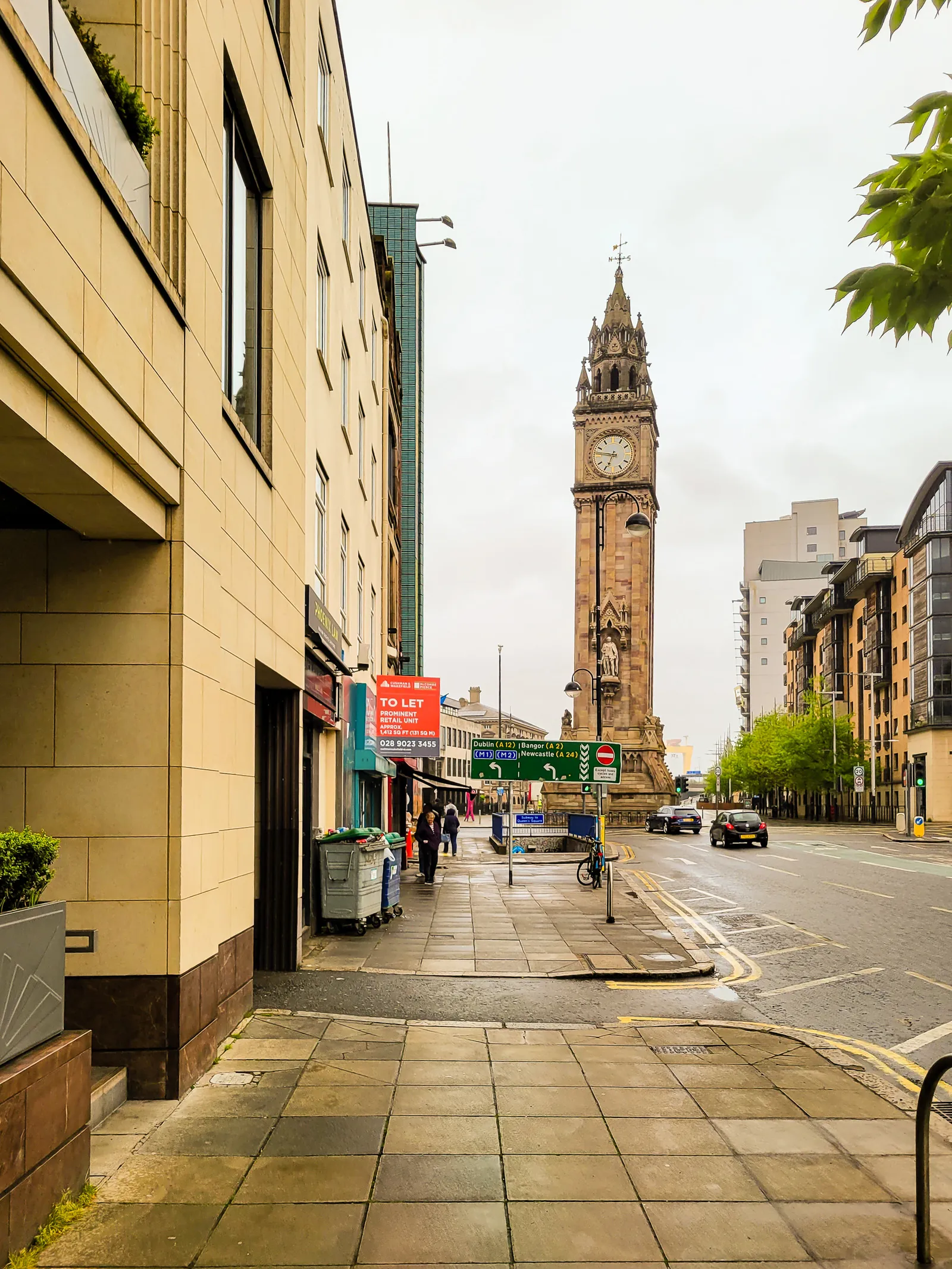
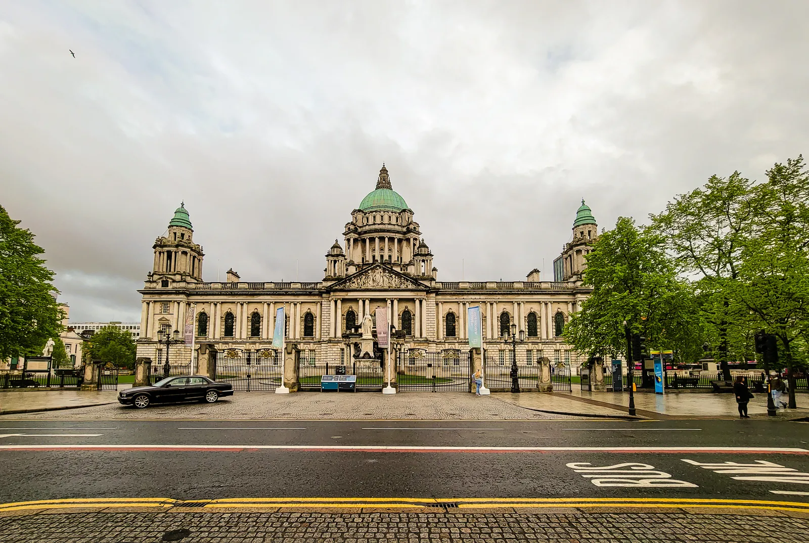
If you've ever walked down High Street in Belfast or any UK city and done a double take at that big TK Maxx sign, you're definitely not alone, especially if you're from the States and grew up knowing TJ Maxx. What feels like a typo or a quirky knock off actually has a smart reason behind it.
When the American off price retail giant TJX Companies decided to bring their treasure hunt shopping experience to the UK and Ireland in the mid 1990s, they hit a naming snag: an existing British department store called T. J. Hughes already had rights to the "TJ" initials. To avoid confusion and potential trademark issues, they simply changed the J to a K and TK Maxx was born in 1994.
So no, it isn't a typo, and it isn't a lesser version of the American store. It's the same parent company with the same off price, treasure hunt style of bargain hunting, just under a slightly different name because of trademark rules and local retail history.
Whether you're cruising through Belfast or browsing deals in Dublin, now you know why that one letter makes all the difference.

A Railway Past Reimagined as a Boutique Retreat
We had one final night unbooked, and thankfully Angie came through with the perfect find. She booked us a room at The Station House, just 30 minutes outside Dublin. The property had an undeniable sense of enchantment, with cozy common areas, thoughtful details, and a staff that made us feel right at home. It was also clearly a popular wedding venue, and it was easy to understand why. For our final night in Ireland, it was exactly what we needed.
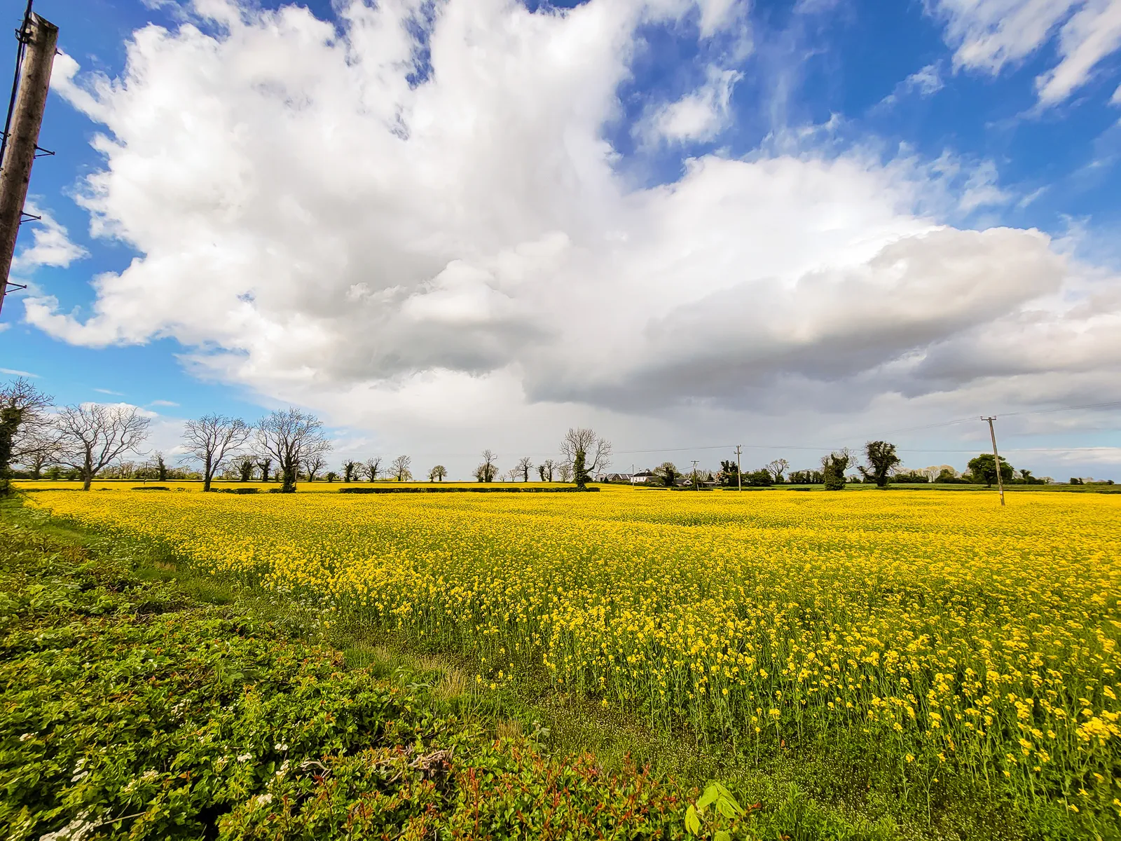
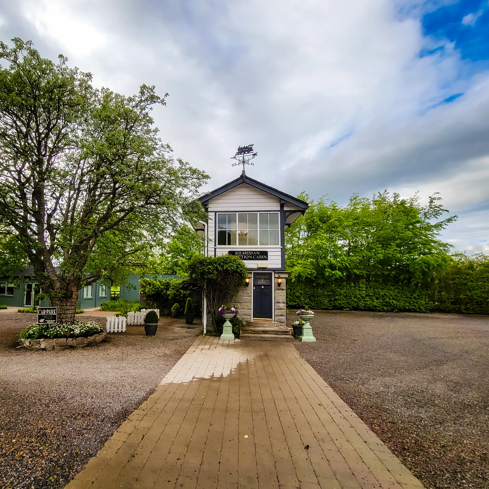
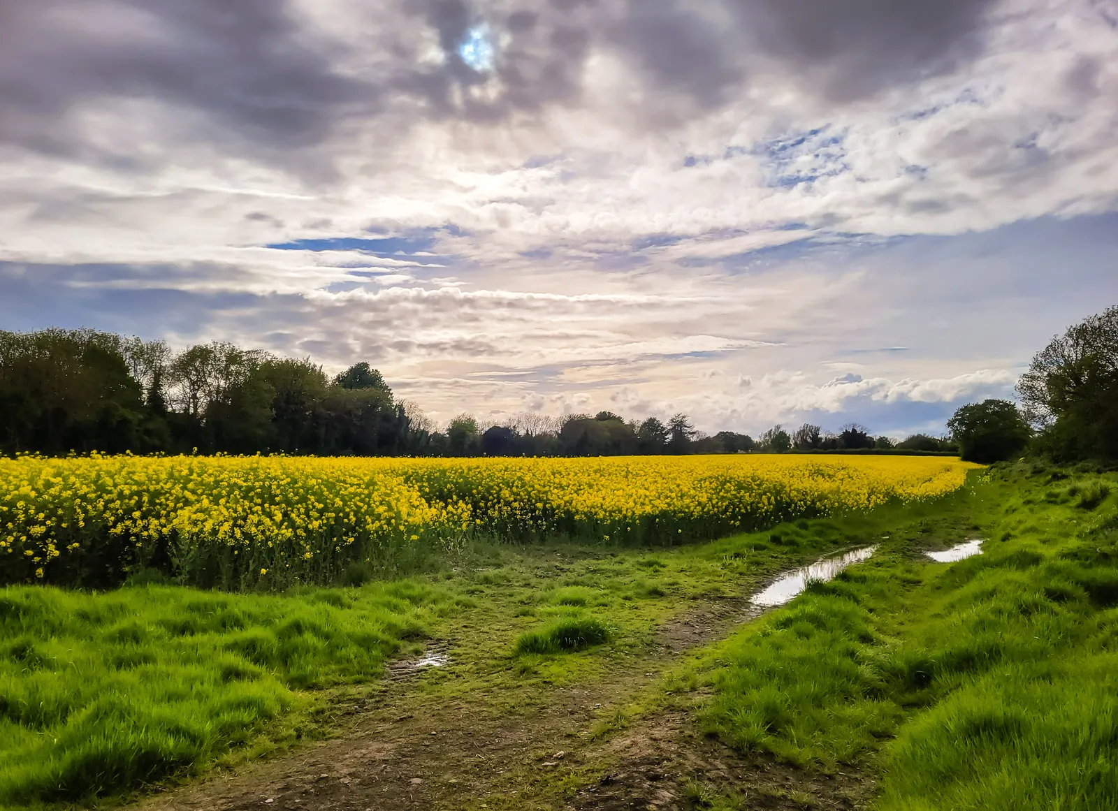
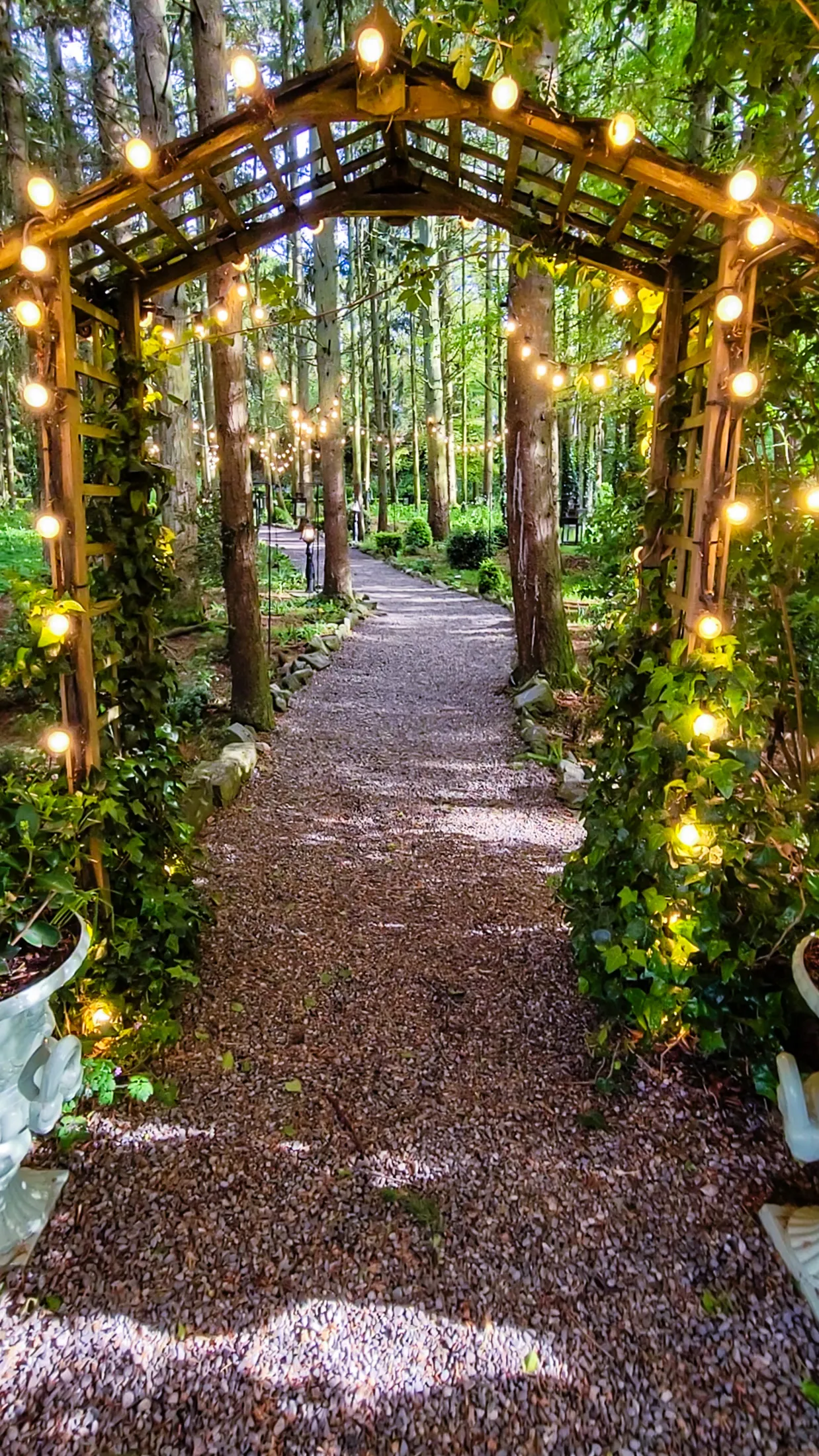

A COVID setup & the Journey Home
Sleep was questionable, but we were up early and headed to Dublin Airport. Our biggest concern was returning the rental car, which turned out to be surprisingly easy. So far, so good. Then we reached airport security and discovered we needed a negative COVID test to fly home.
Wait, what?
Even in 2022, the United States still required international travelers to provide a negative test before returning. Cue the stress. We rushed back outside to a small testing station set up for last minute travelers. Thankfully, I'm the type who arrives at airports far too early, and that extra time saved us. After the scramble, we made it to our gate with only minutes to spare.
Not exactly the peaceful ending we imagined, but definitely memorable.
Looking back, Ireland was an incredible first international adventure. Great food, welcoming people, and more history packed into two weeks than we ever expected. It's the kind of place that stays with you long after you leave, and I often think about the day we'll return to revisit familiar favorites and discover new ones.
Slán go fóill (slawn guh foal), goodbye for now.