At a Glance
Dates: September 2025
Tour Company: AB Expeditions
Duration: 4 days, 3 nights on trail + Day 5 at Machu Picchu
Passes: 3 mountain passes, highest at 13,828 ft
Best For: Experienced hikers, bucket-list trekkers
Trip Style: Guided group trek, camping
In September 2025, my wife and I hiked the classic 4-day Inca Trail with AB Expeditions, followed by a bonus fifth day exploring Machu Picchu. Four days took us from Kilometer 82 to the Sun Gate, with the final day spent returning to Machu Picchu to appreciate everything we had been too exhausted to appreciate the day before. After spending a week acclimatizing in Cusco, we walked every mile of the trail. This guide is based on our firsthand experience, from the unforgettable highlights to the moment I fell into a bush and nearly became a statistic.
Meeting our guide, good bye to Cusco
The 4:30 AM alarm wasn’t a surprise, but it still hurt. Showered, dressed, and down to the lobby for one last cup of coca tea before saying goodbye to the Boutique Garden Hotel. A quick chat with Miguel at the front desk, then the organized chaos of staging suitcases, duffel bags, and backpacks for pickup. We waited outside expecting a van, but our hotel sat on a steep hill, so our guide and the porters walked up to meet us instead. The greeting was a little awkward as we stood there surrounded by our gear while they caught their breath from the climb, but after a few handshakes, and all was well.
From there, we all walked downhill together to the waiting van. Meeting our guide Yiyo set the tone for the next five days. Tall, lanky, with a buff concealing long hair and gold mirrored sunglasses, he spoke excellent English and had us laughing within minutes. We drove across Cusco to pick up our only fellow trekker: Leoni from Switzerland. With everyone aboard, we headed toward Ollantaytambo, then Piscacucho, the gateway to the classic Inca Trail.
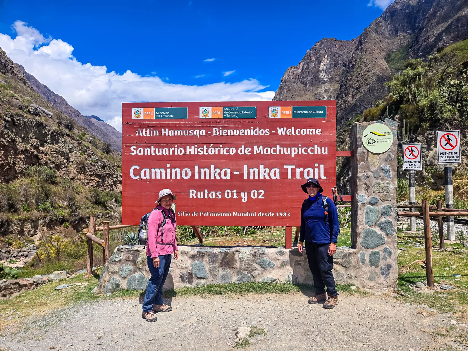
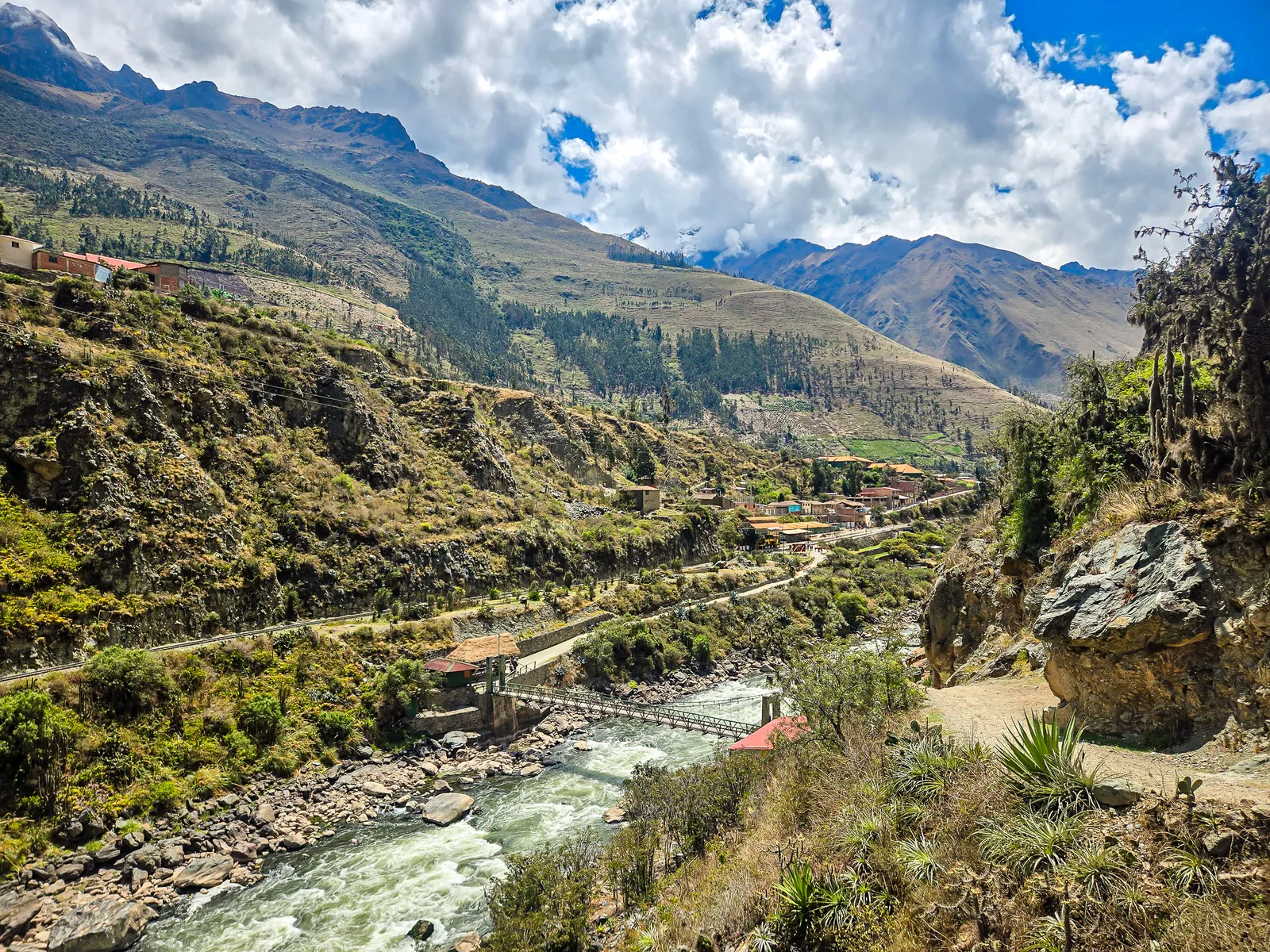
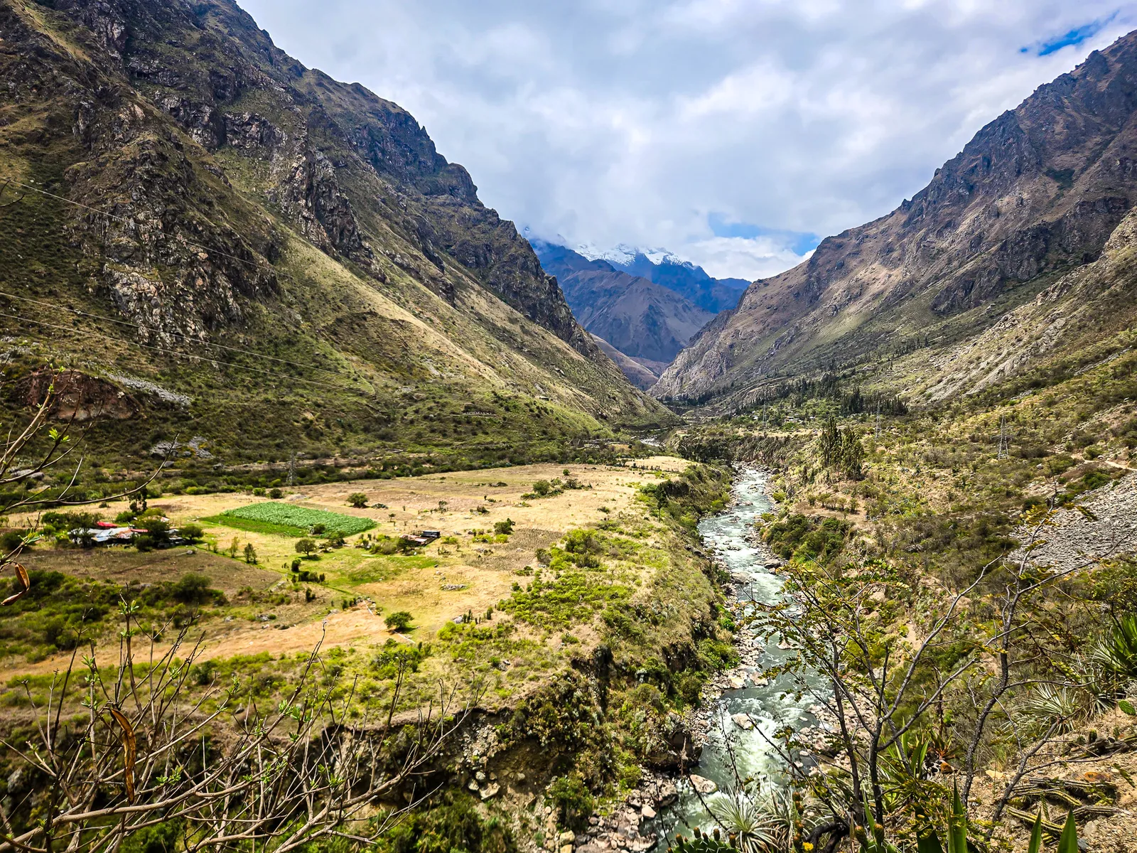
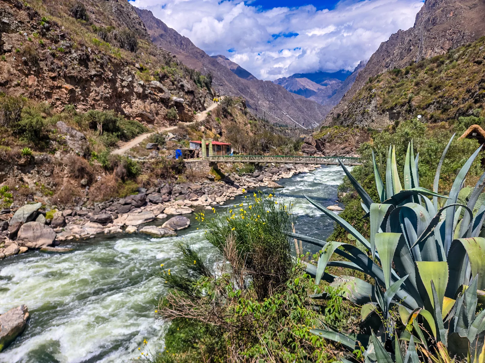
About 90 minutes later, we arrived at Kilometer 82. We grabbed our packs, passed through the checkpoint, and took the obligatory photo in front of the big red sign. The trek had officially begun! The trail started easy and flat after crossing the wooden suspension bridge, following the left bank of the Urubamba River.
The incline came gradually, first to a rest stop for water and a group check-in, then steeper as we pushed toward lunch. Around 3.5 hours in, we reached Miskay for our first meal. That’s when I started regretting my packing choices. I’d packed like I was shooting a National Geographic documentary instead of someone who had to carry it all uphill for five days.
Watch this part of the journey
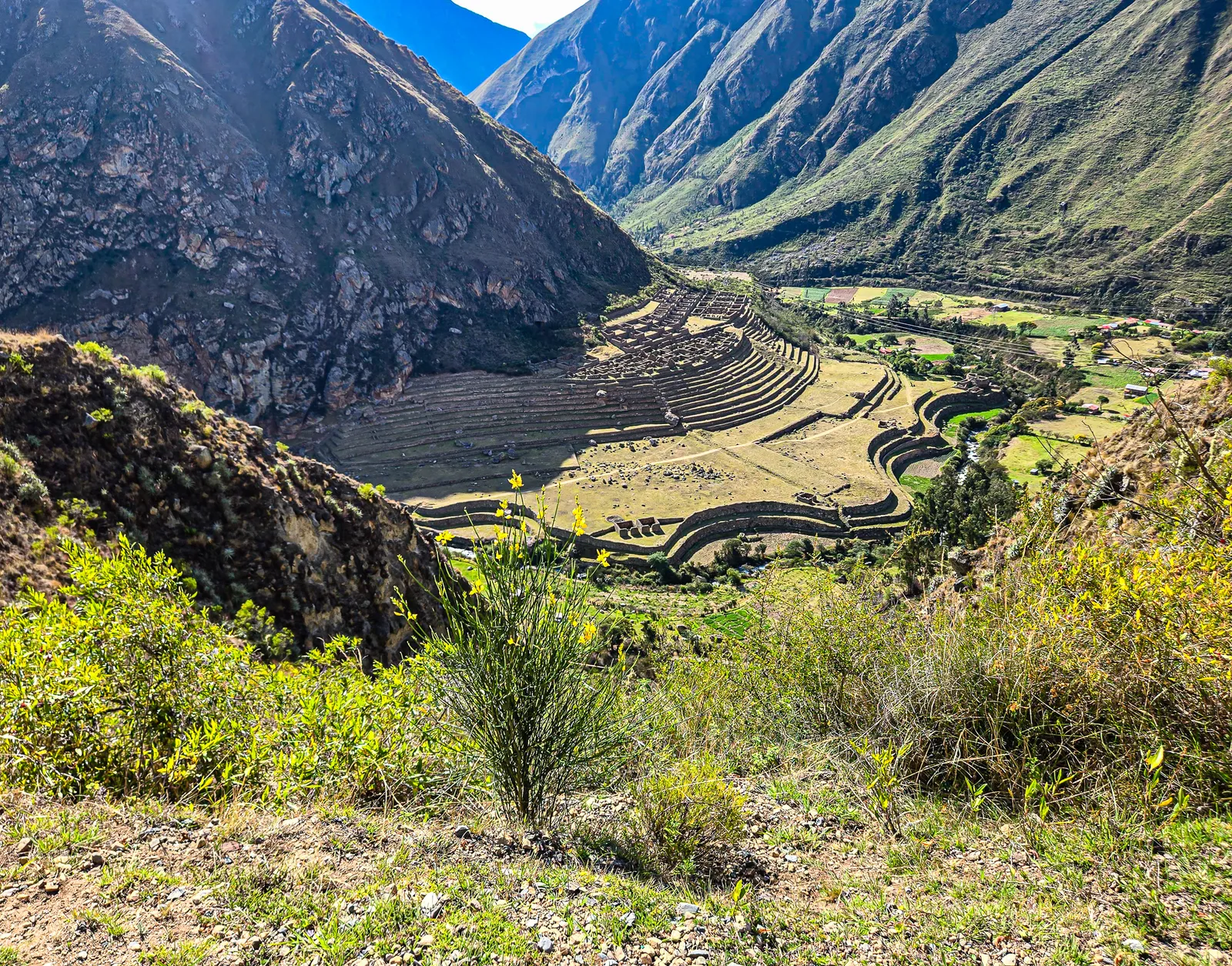
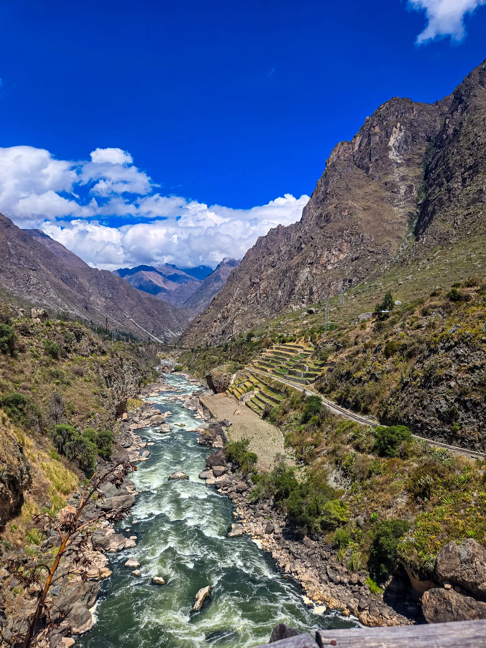
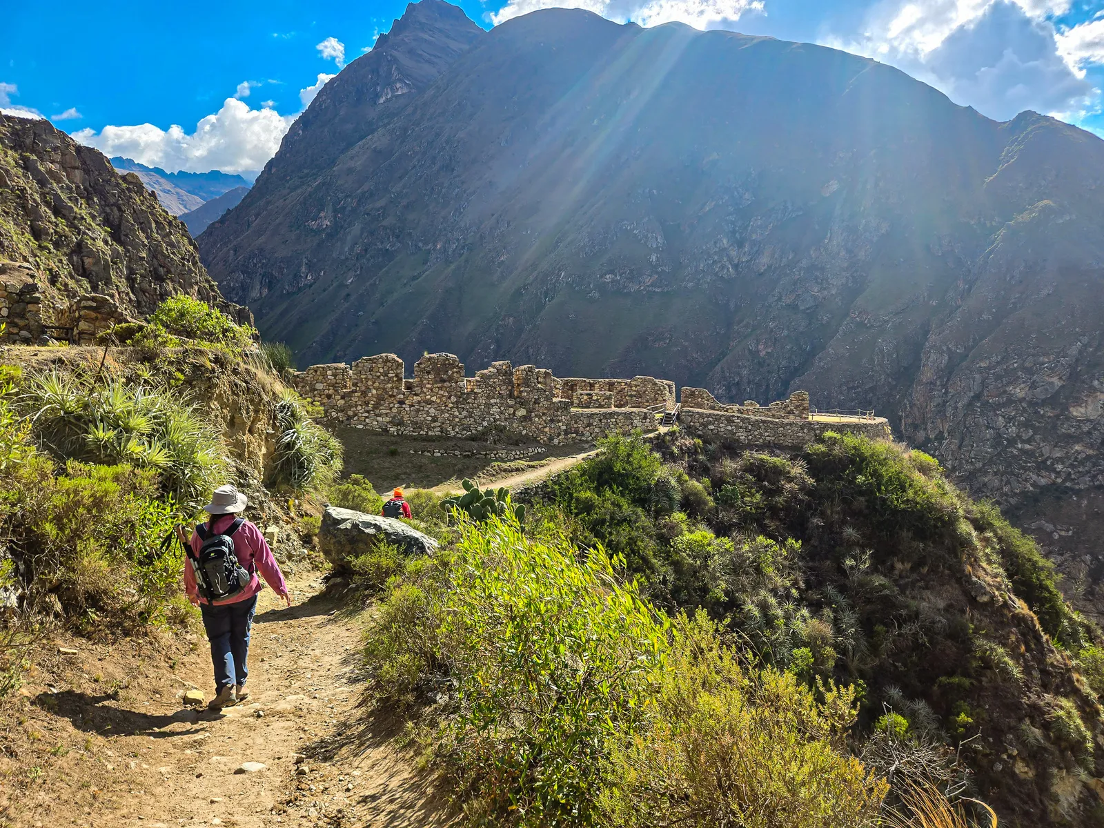
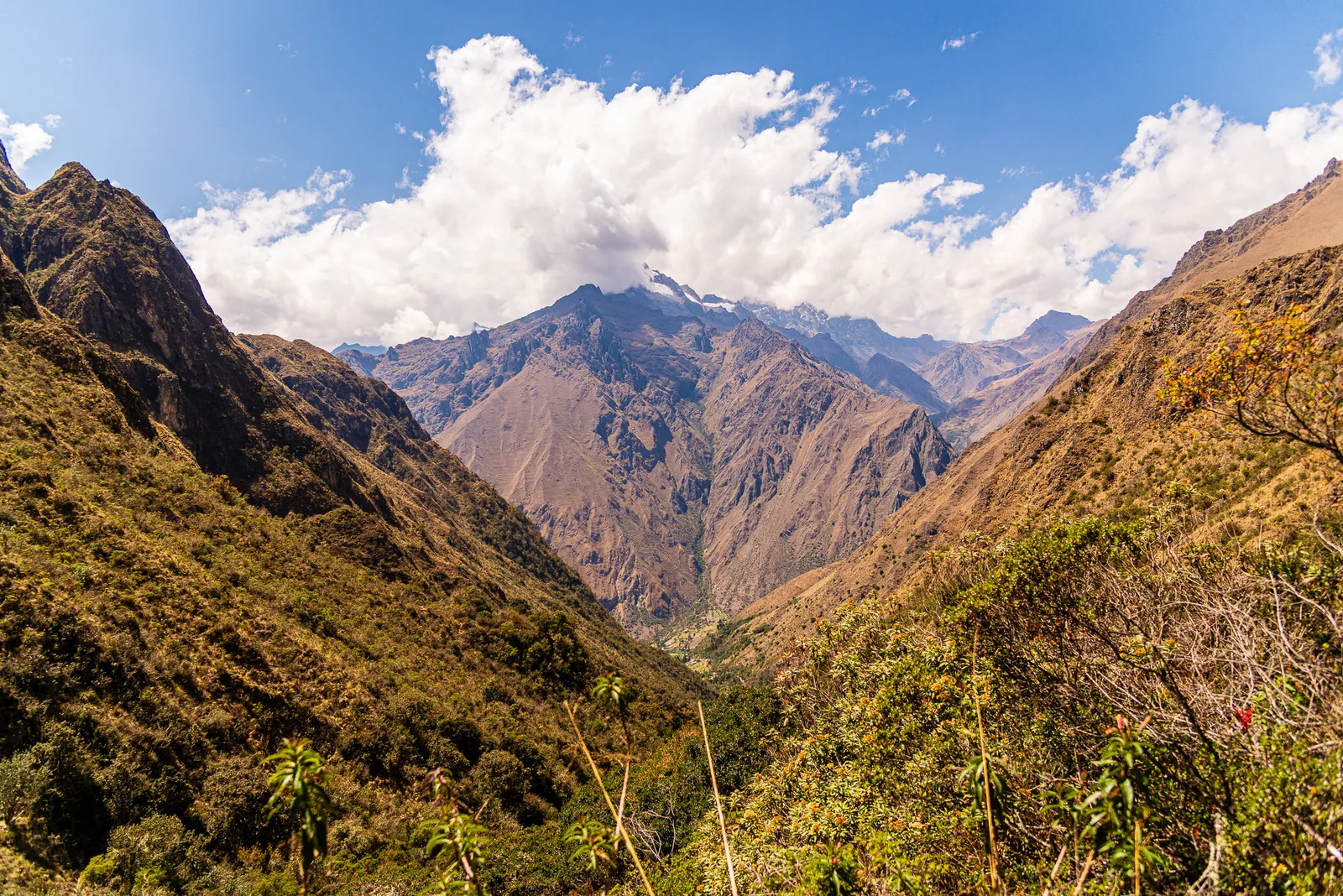
After lunch, the landscape opened up, mountains, valleys, and the Urubamba River winding below. Yiyo mentioned a surprise ahead, and around the next bend, we reached Willkaraqay (Huillca Raccay), a commanding viewpoint overlooking the Llactapata ruins sprawled across the valley floor.
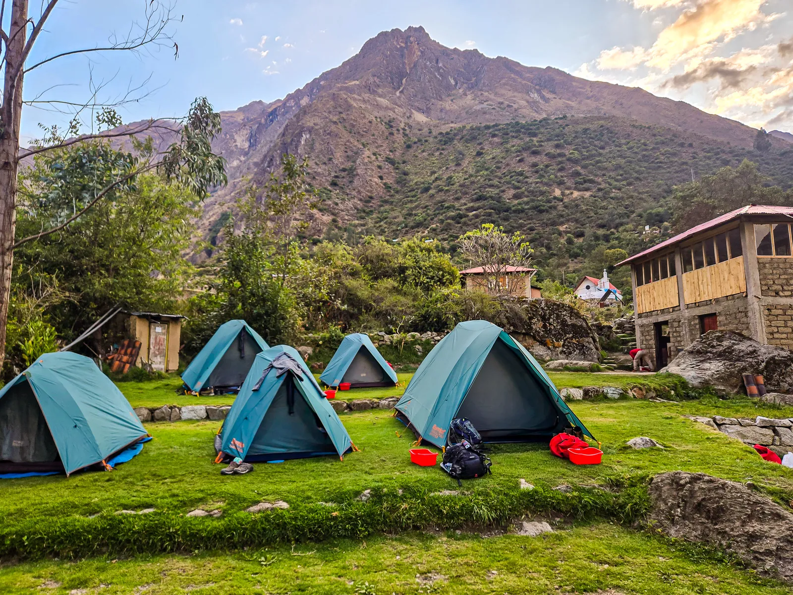
From there, the trail turned south, leaving the Sacred River behind; then it was straight up. Every switchback brought us closer to camp, and every step reminded me of that overweight pack. When we finally reached Hatunchaca Campsite, our tents were already set up.
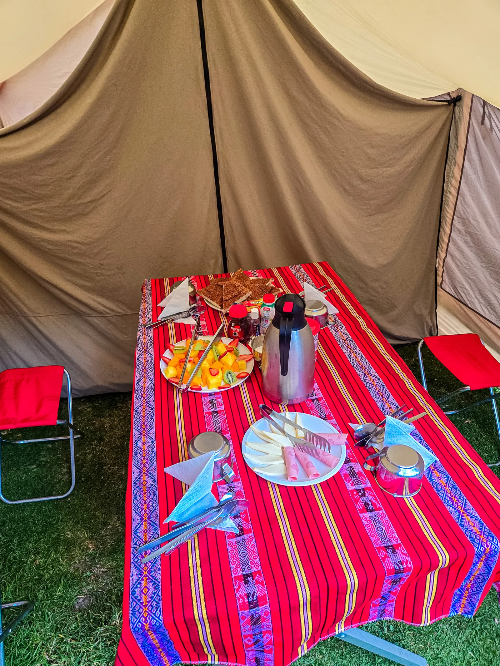
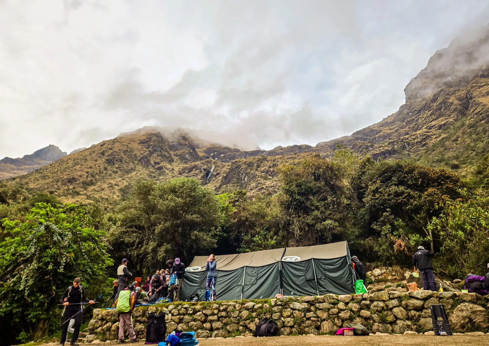
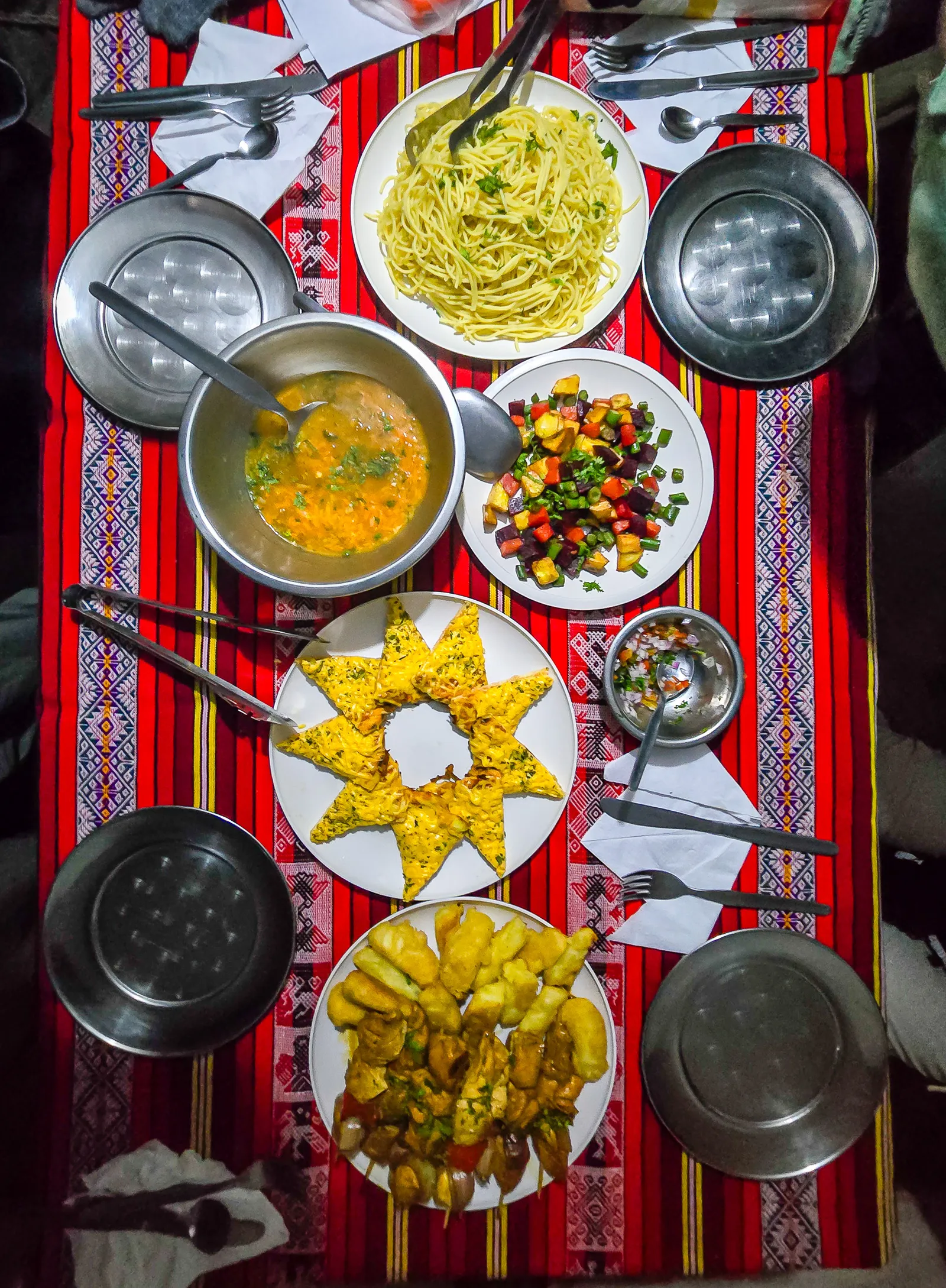
A porter handed us flavored water, and a container of warm water sat outside our tent for washing up. The campsite sat in a quiet grove with a valley below, surrounded by mountain views. Taking off those hiking boots, crawling into the tent and laying down - pure relief. After resting, we gathered in the main dining tent for dinner, a routine that would repeat for the next four days.
Uphill to Dead Woman’s Pass, and stops along the way
The next morning, we woke to the sound of the porters talking as they prepared breakfast. How well you sleep depends largely on your sleeping mat and the ground beneath it. Fortunately, our first campsite was on worn grass that provided a bit of extra cushioning. Pro tip: upgrade to a thicker sleeping mat or rent a second one from your tour company for a more comfortable night's sleep.
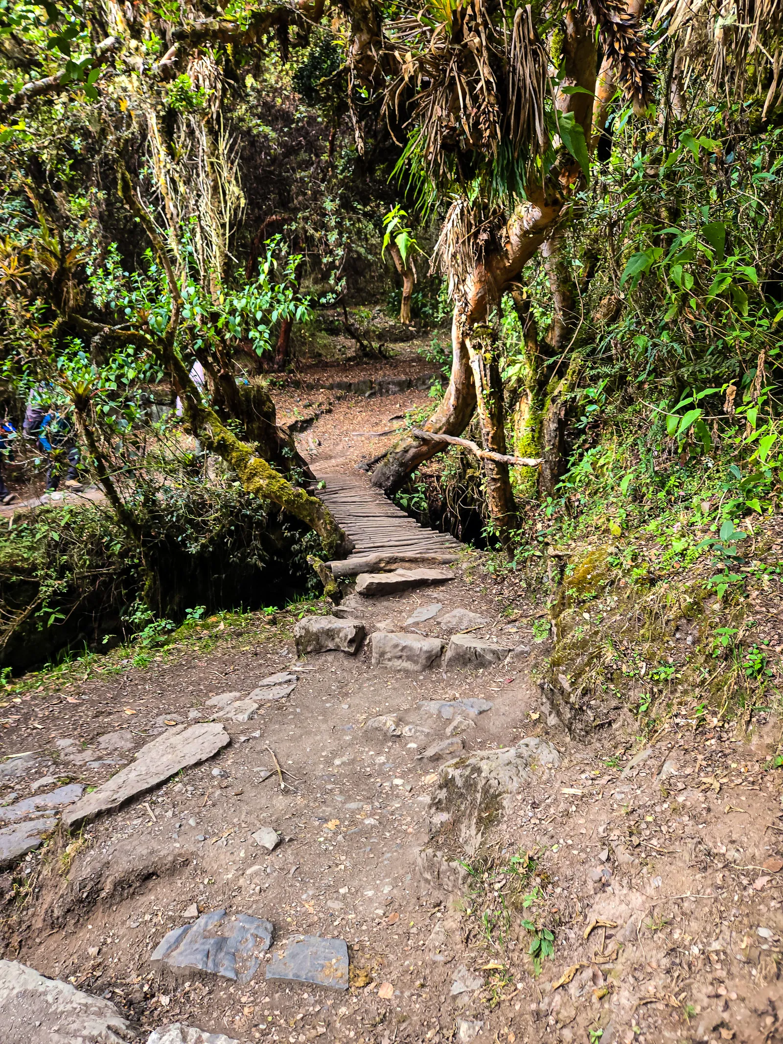
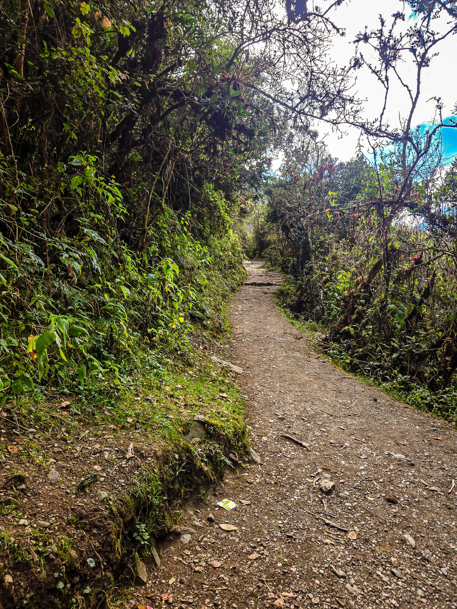
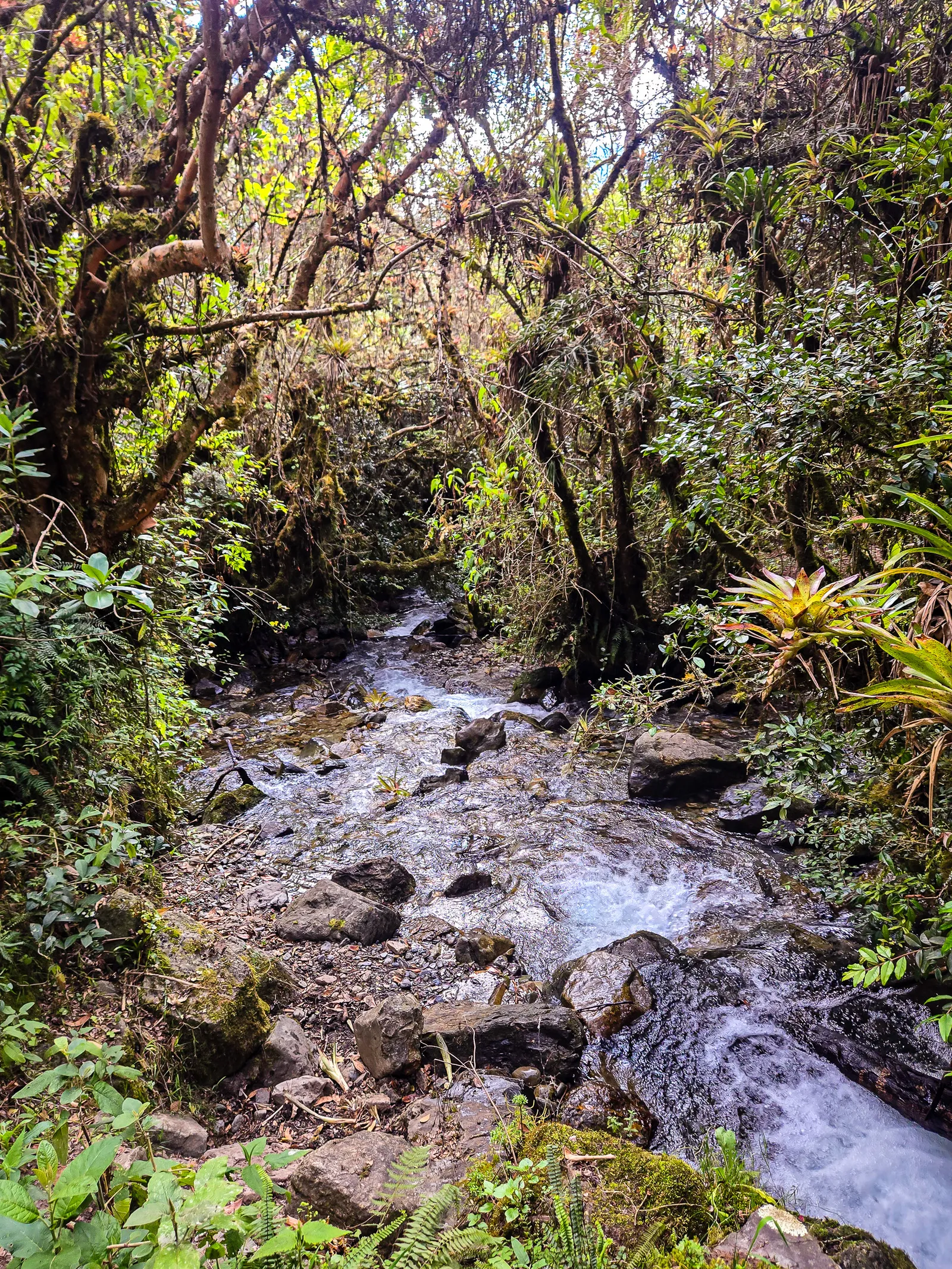
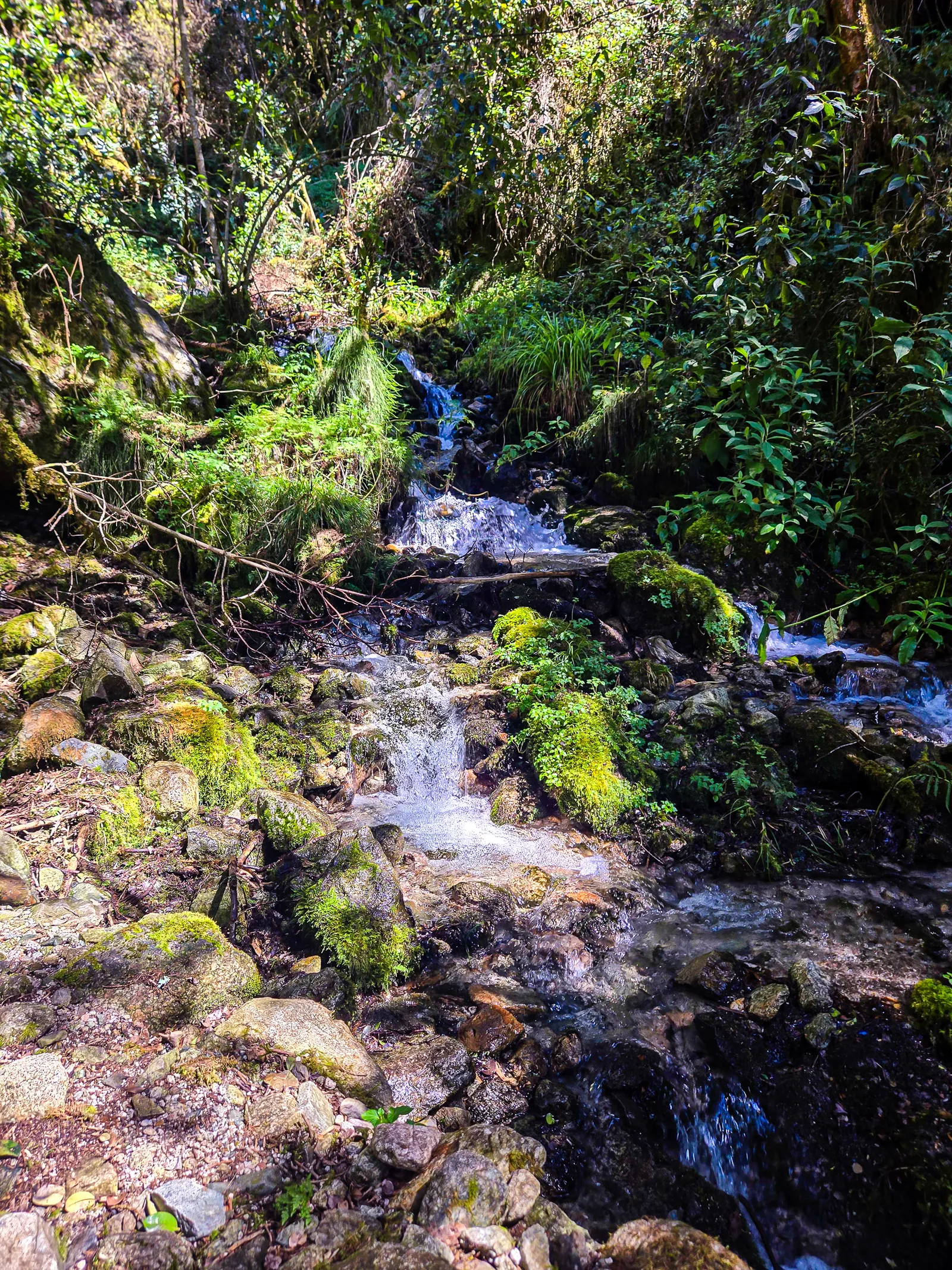
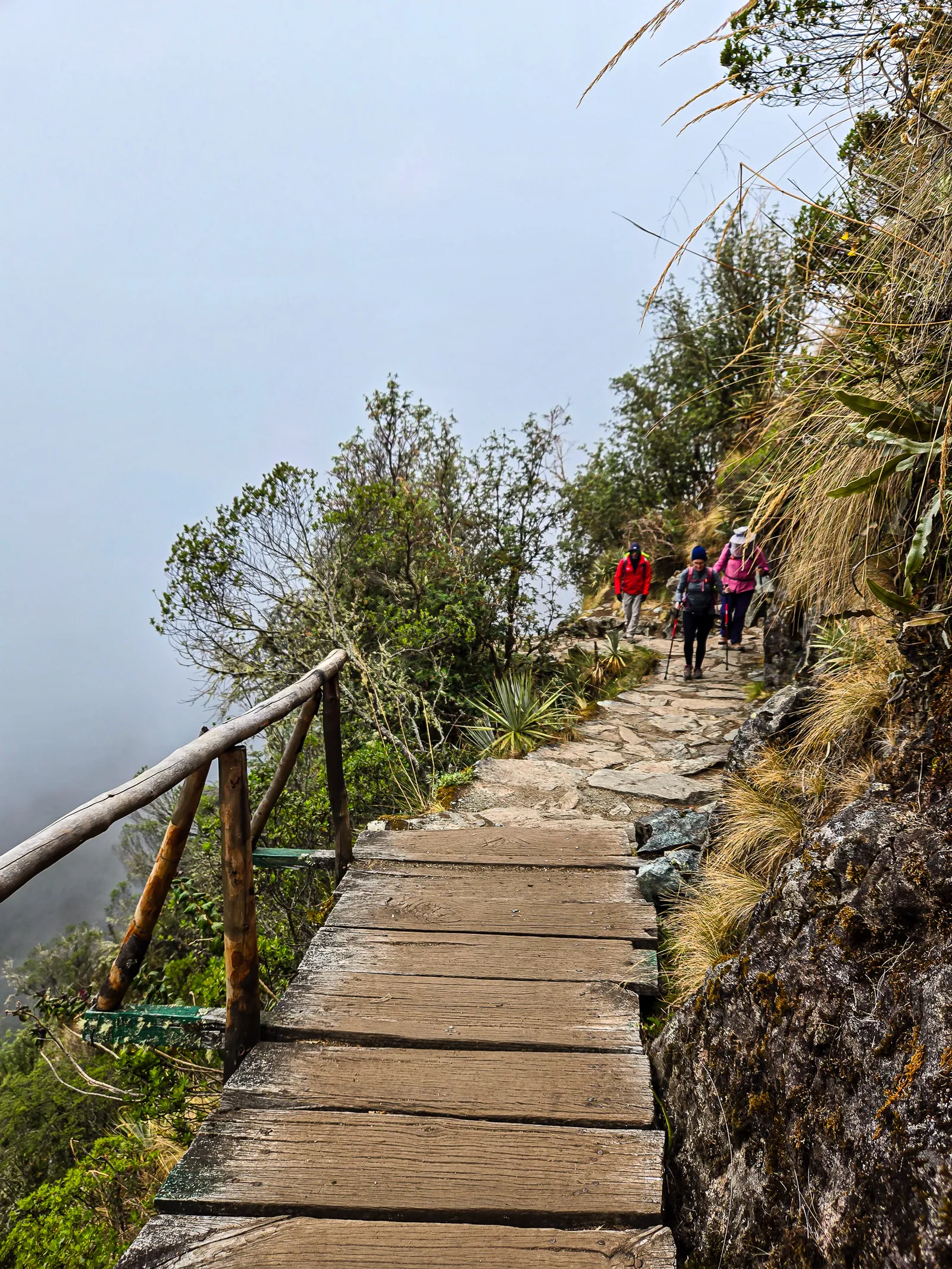
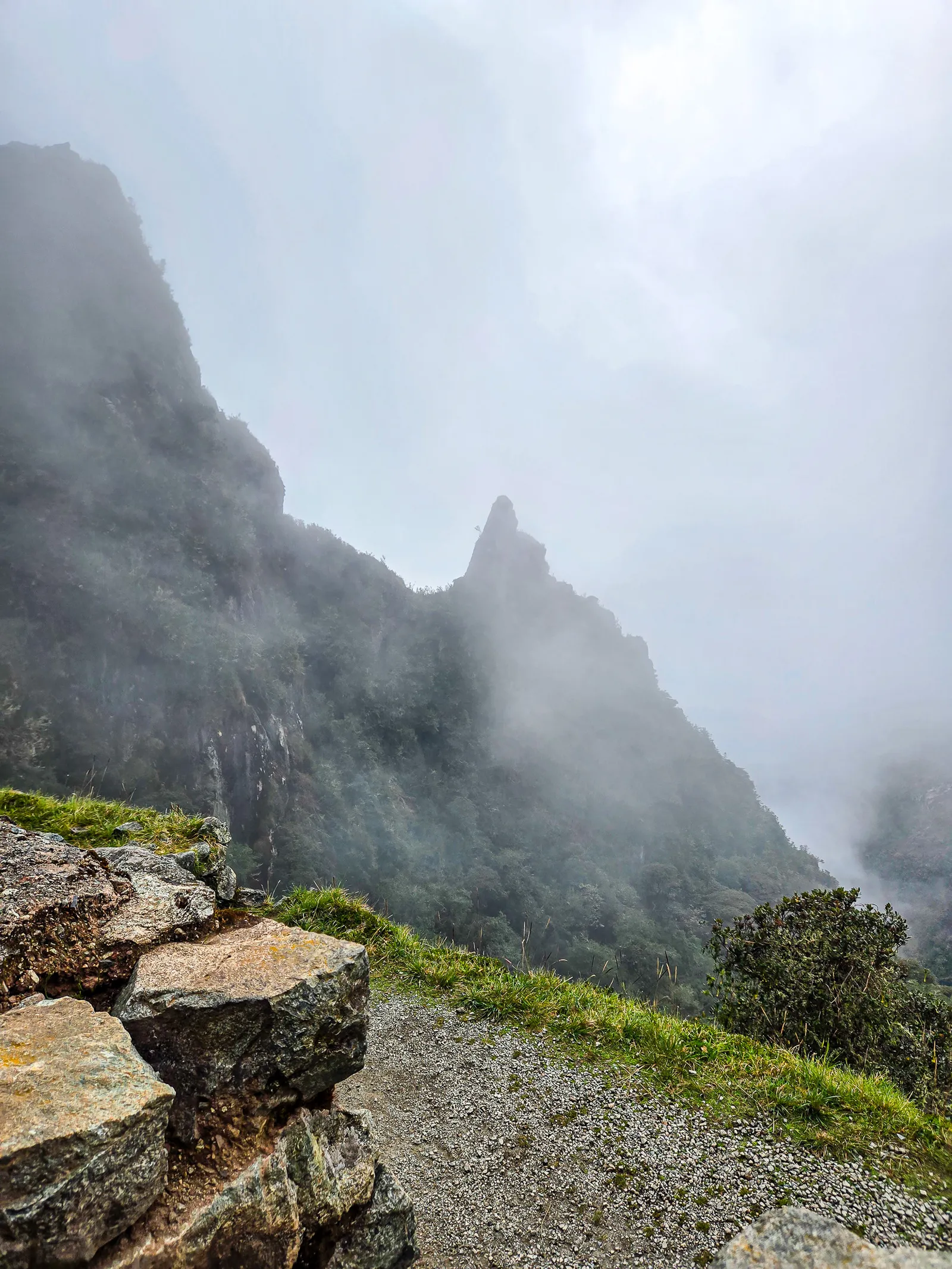
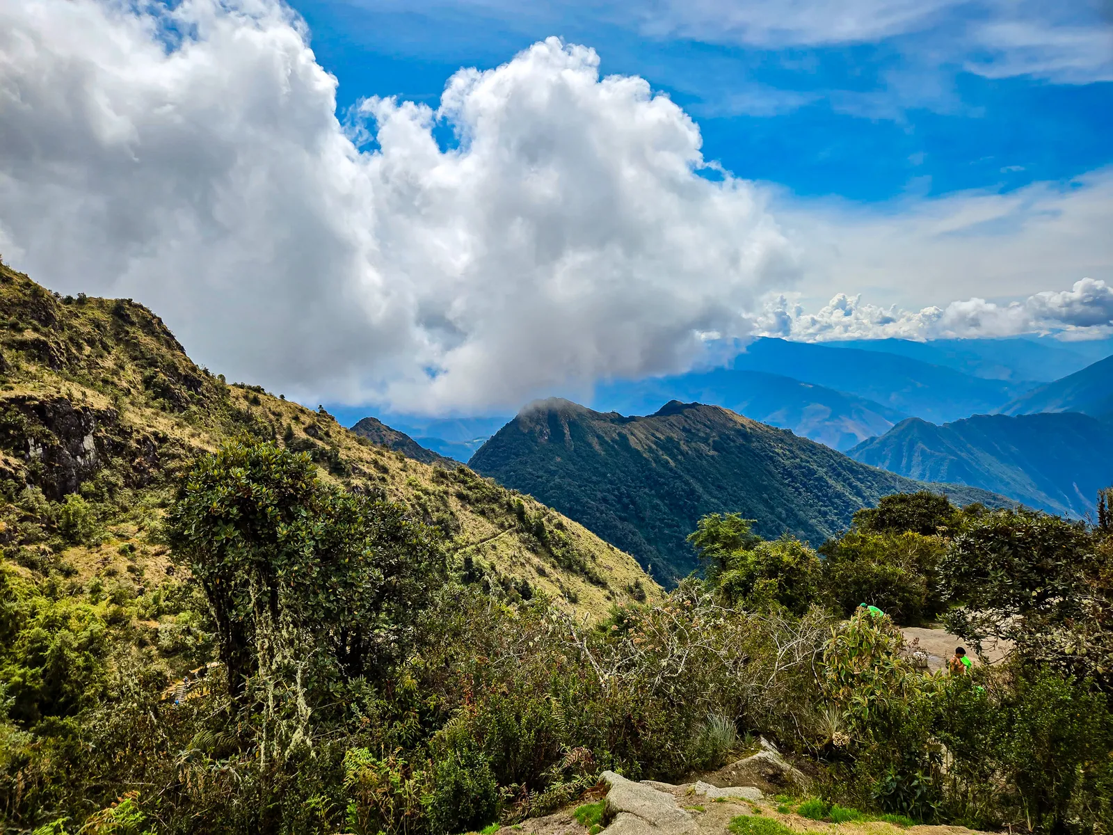
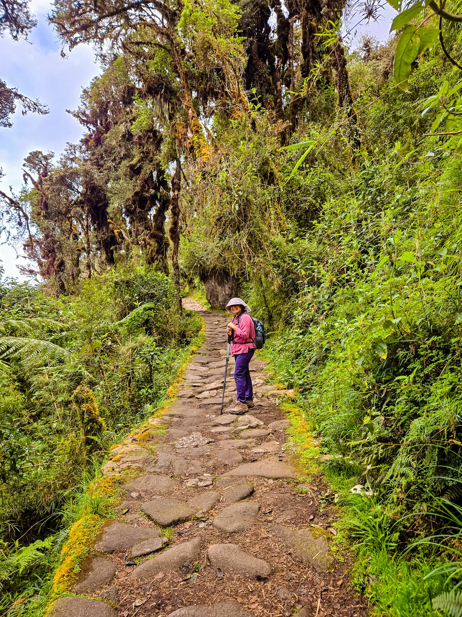
After breakfast, we packed up camp and were on the trail by 8:00 AM, heading toward Wayllabamba, the trail's second checkpoint. From there, we climbed another 30 minutes into the cloud forest, one of the most unique sections of the hike. The landscape changed dramatically as scrubby bushes gave way to dense, mist covered vegetation clinging to the mountainside.
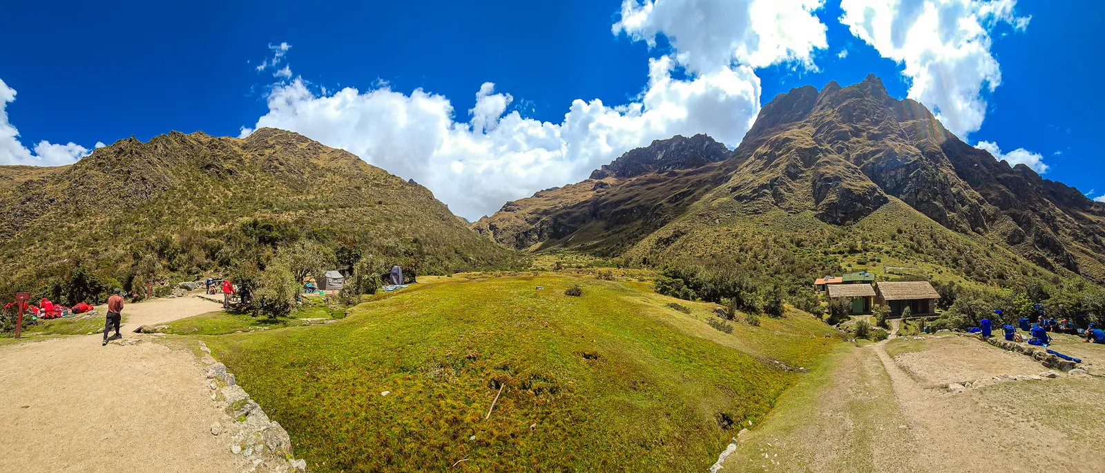
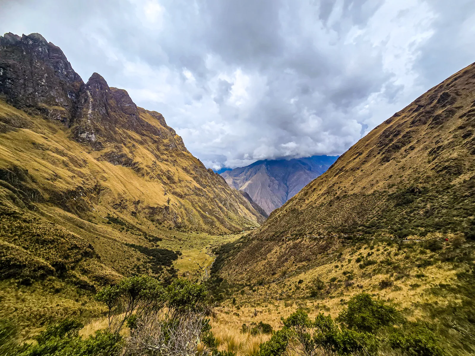
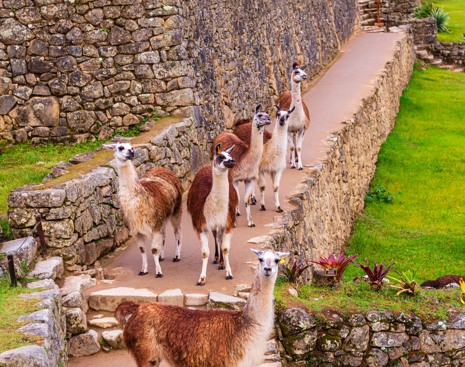
The climb continued steadily to the Ayapata rest area, where we were rewarded with stunning mountain views. From there, we pushed on to Llulluchapampa at 3,680 meters (12,300 feet). Perched at the edge of the treeline, this campsite opens up to a lush green meadow where llamas grazed, with unobstructed views of Dead Woman's Pass looming in the distance.
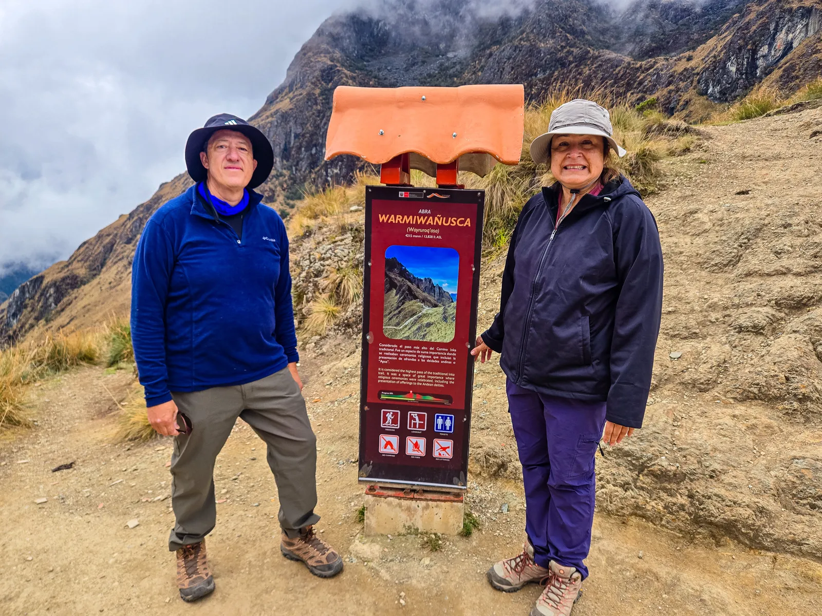
After lunch and rest, we started the most grueling stretch of the entire trek: the final 535 vertical meters (1,755 feet) to Warmi Wañusqa, Dead Woman’s Pass, the Inca Trail’s highest point at 4,215 meters (13,828 feet). Standing in the open field looking up, I chuckled. “That doesn’t look far.” It was, and it was extremely challenging.
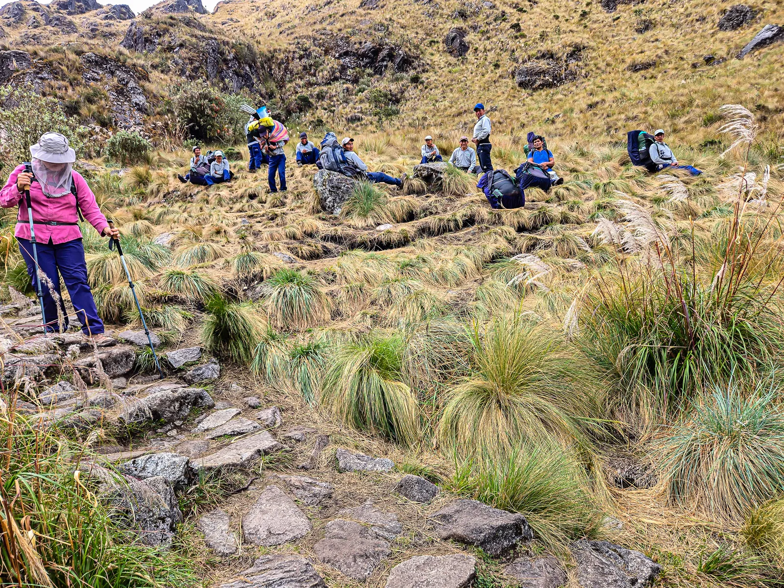
We started around 12:30 PM at the peak heat of the day. The winds that had cooled us all morning? Gone. We zigzagged up the trail, managing 7-10 steps before stopping for water and breath. At one point I placed my hand on my wife’s back, completely drenched from sweat.
The climb from Llulluchapampa to Dead Woman’s Pass gains 535 vertical meters over 2.5 miles. We reached the top around 2:30 PM, two hours, which is average for most trekkers. At the summit, the weather shifted instantly. Clouds rolled in, mist settled, and the air turned cold and heavy. We rested at the top, and then made the hike down to Paqaymayu Campsite.
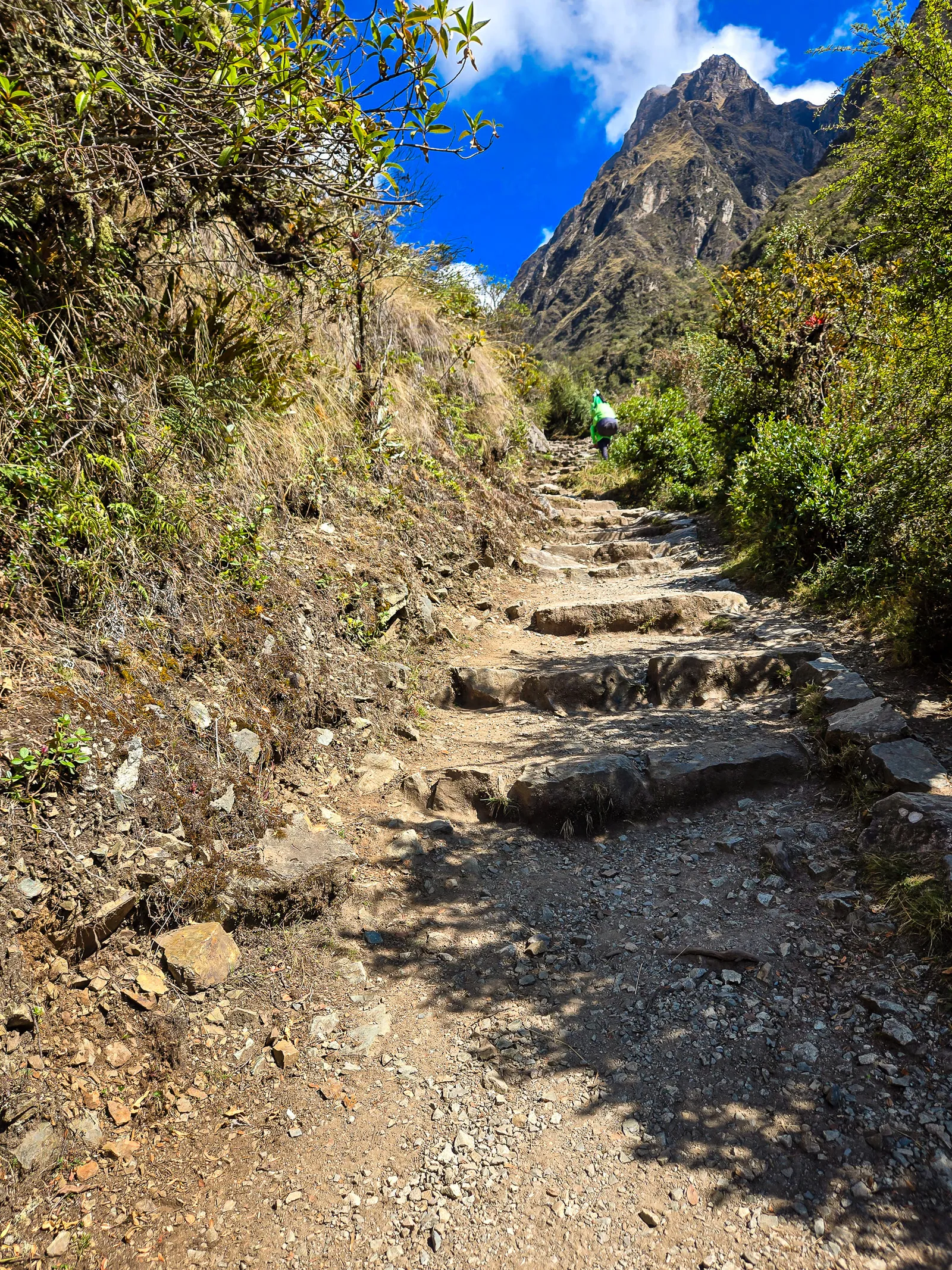
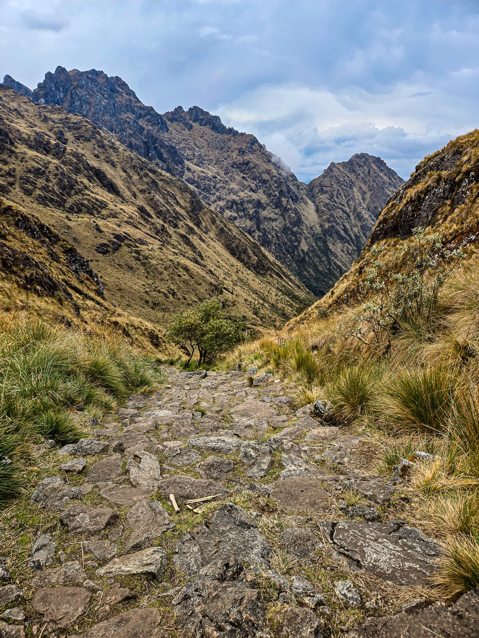
You’d think going downhill would be a relief after summiting Dead Woman’s Pass. It wasn’t. The steep descent demanded constant focus on footwork, uneven steps, and tired legs made every placement critical.
One misstep, and you’d go down. Like I did. The last thing I remember was planting my walking stick, then pitching forward. Next thing I knew, I was headfirst in a bush, staring upside down at Yiyo moving fast to grab my hand and pull me upright. “If that bush hadn’t stopped you,” he said, “you would have gone over the edge.”
Finally, we reached Paqaymayu campsite. No one had energy for socializing, we all collapsed in our tents until dinner. Unlike the grassy first night, our tents sat on terraced gravel. Sleep didn’t come easy.
Runkuracay Pass, to Phuyupatamarka Campsite
After a rough night sleeping on gravel, morning came quickly. The campsite was already buzzing with trekkers from other groups as we gathered for breakfast. Yiyo outlined the plan for the day: a long climb followed by an equally long descent, with several archaeological sites along the way.
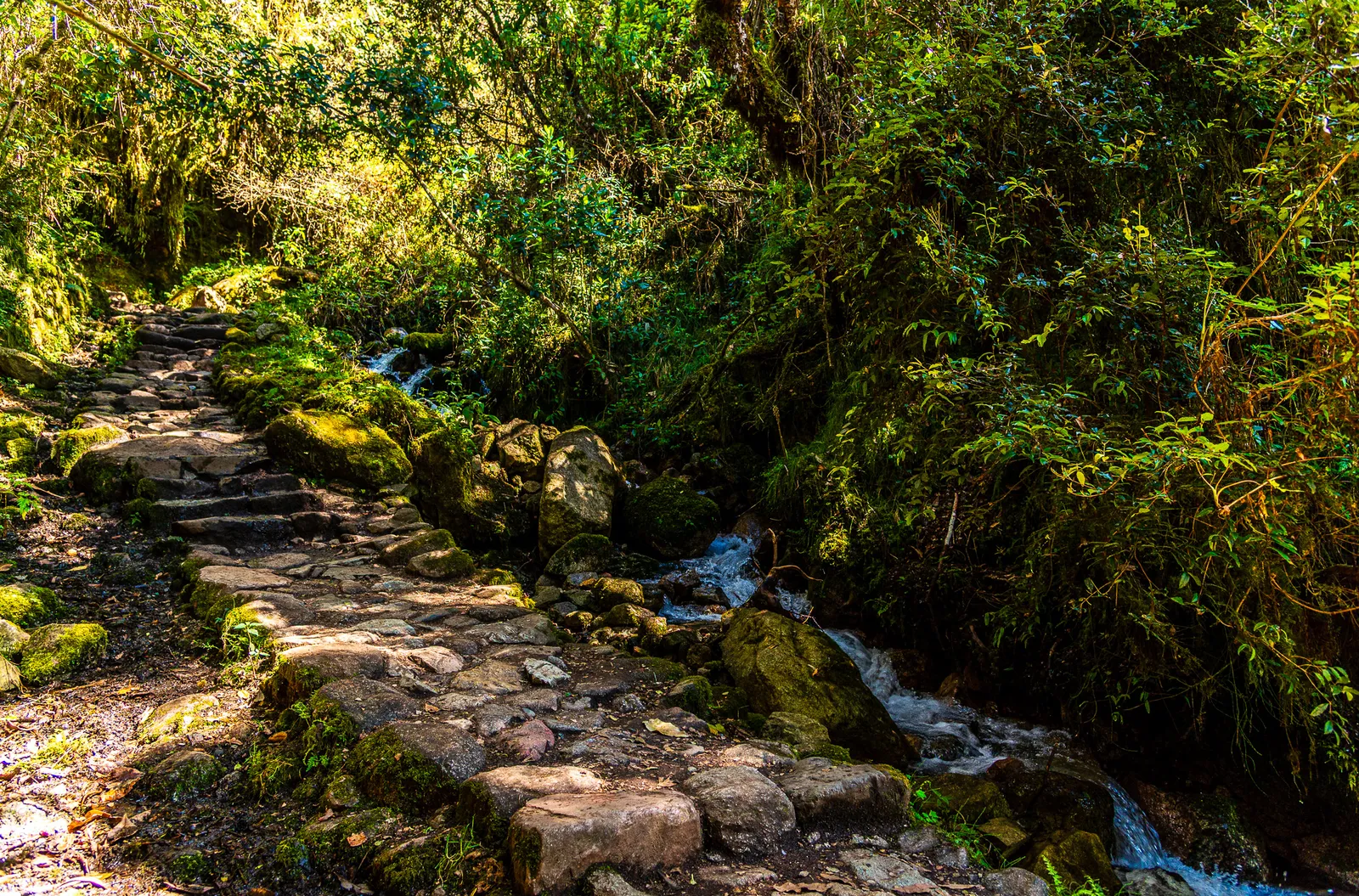
Day two had earned its reputation as the most difficult day of the trek. Day three would bring its own challenges, including another mountain pass and long stretches of the original Inca stone trail, a sharp contrast to the restored sections we had hiked during the first two days. With breakfast finished and camp packed up, we set out from our campsite deep in the valley and began the steady climb toward Runkuracay.
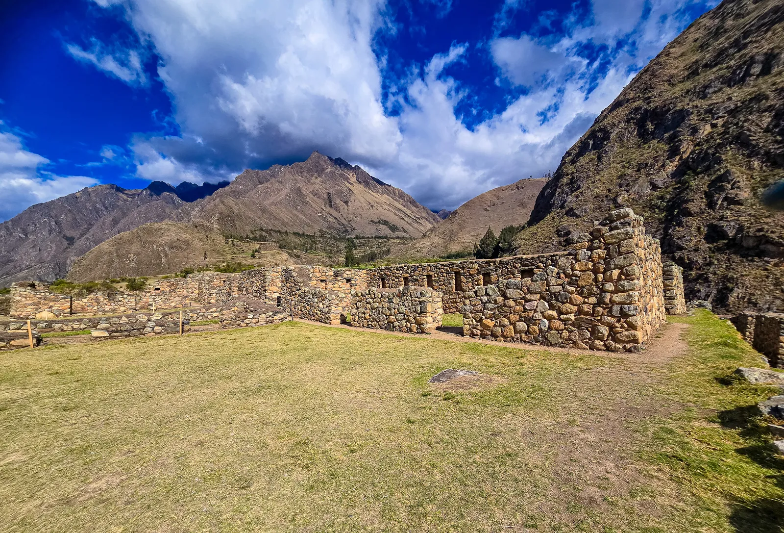
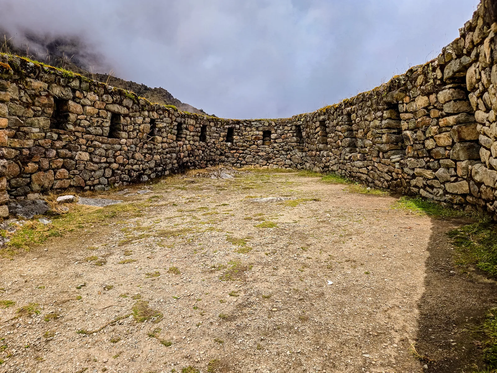
Midway up at 3,780 meters (12,402 feet), we reached the Runkuracay ruins. Yiyo explained this was likely a tampu, a rest stop for Incan travelers and messengers. These stations appeared every 5-7 kilometers, serving the Chasquis, highly trained runners who delivered messages across the empire at incredible speed using a relay system.
They worked in teams, handing off messages, often memorized or recorded on quipus (knotted cords), at relay stations. The trail continued uphill toward Runkuracay Pass, the second of three passes on the Inca Trail. The climb was challenging but not as brutal as Dead Woman’s Pass.
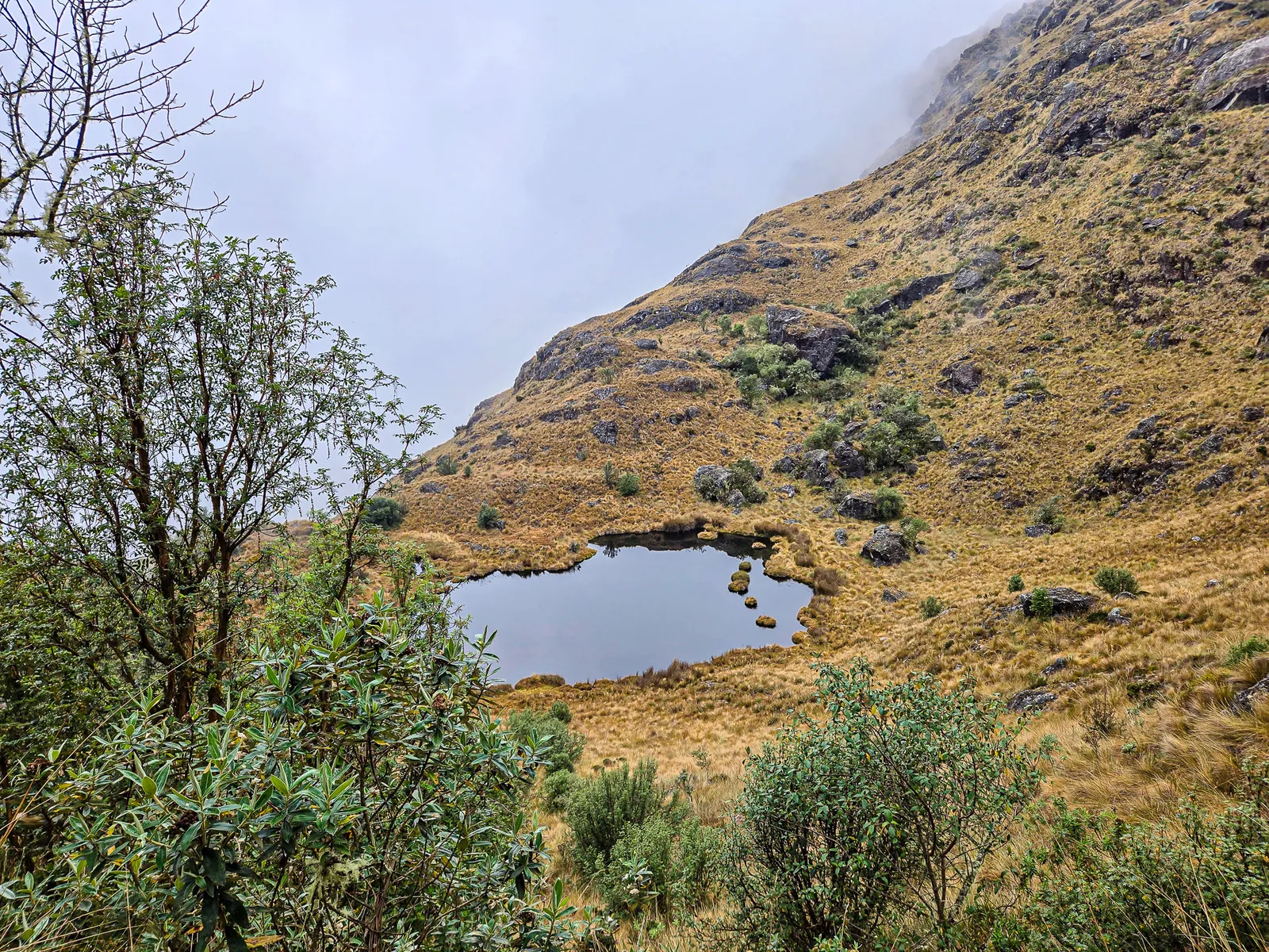
Near the top, a high mountain pond surprised me, the first standing water we’d seen. We stopped at Runkuracay Pass (3,985 meters/13,074 feet) around 9 AM. In the distance, densely forested mountains marked the beginning of the Amazon rainforest.
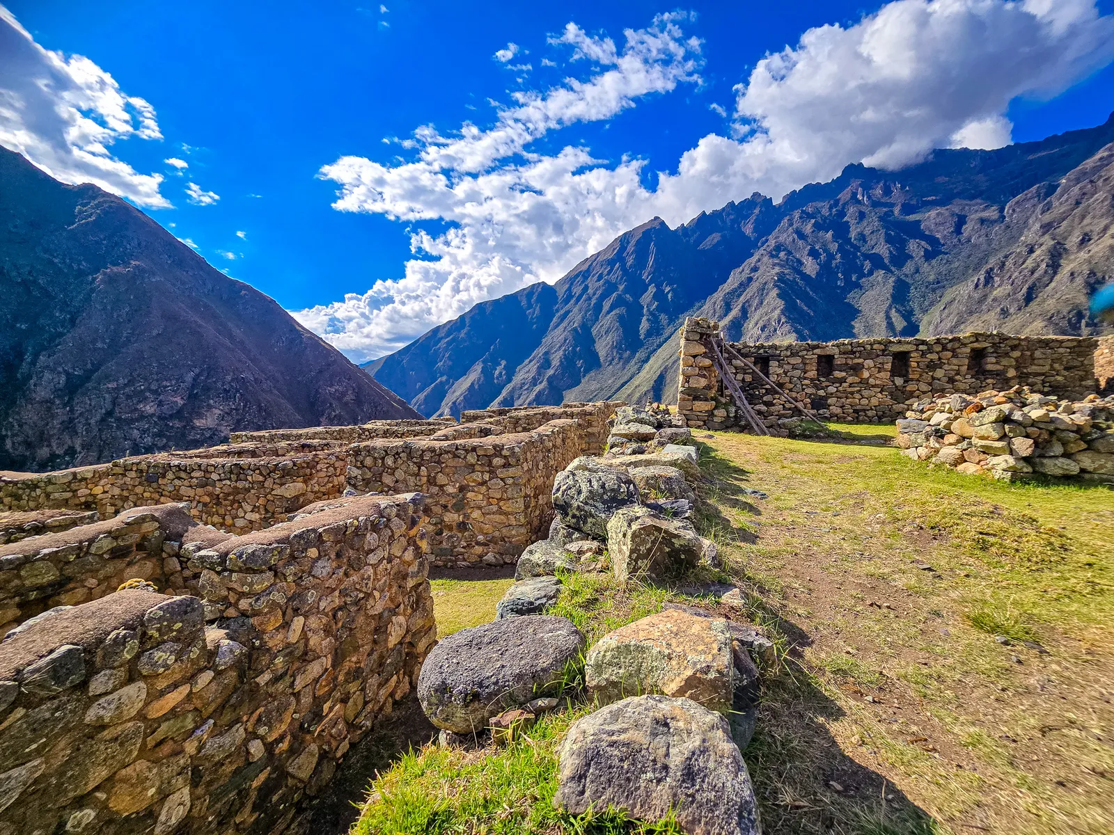
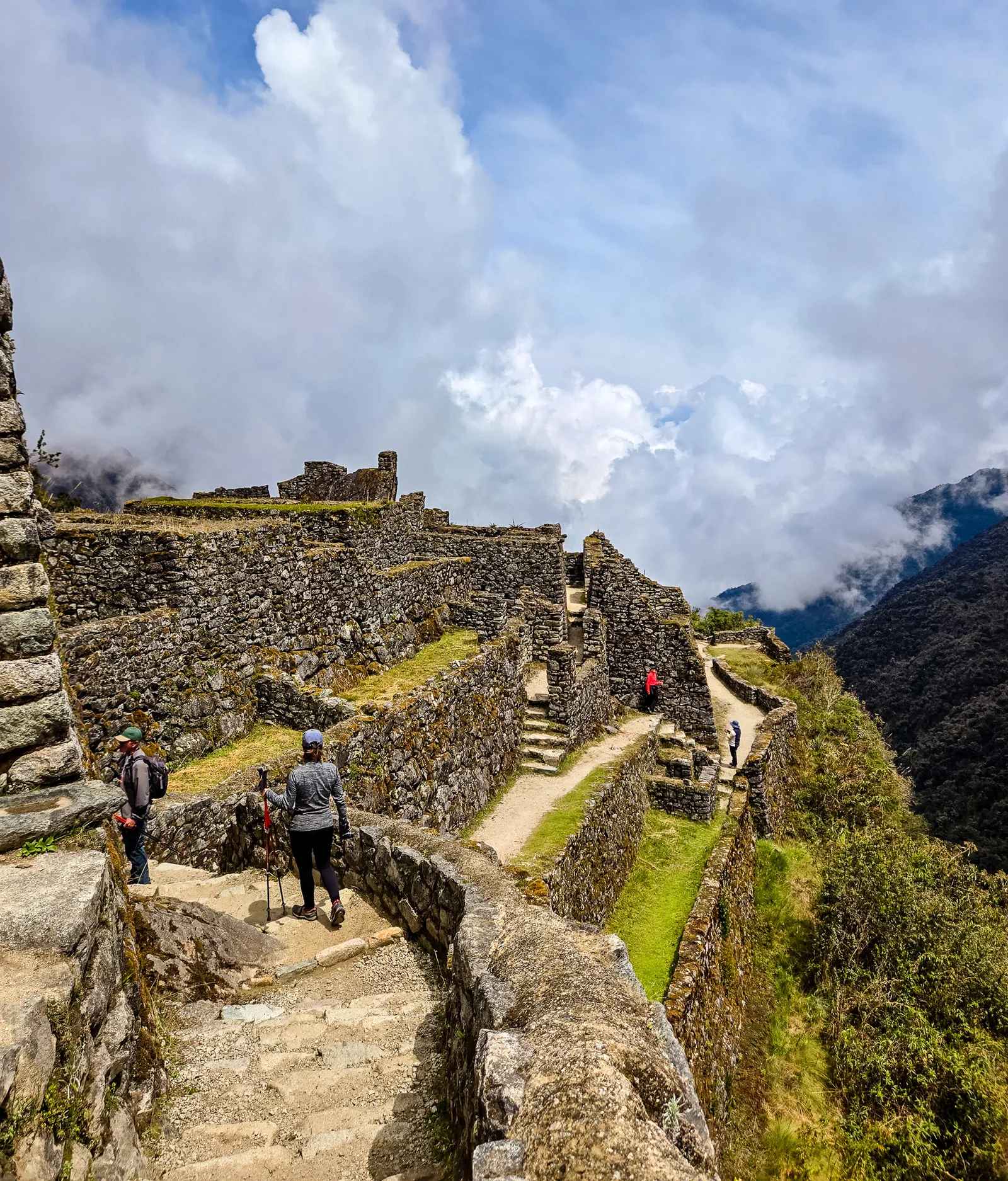
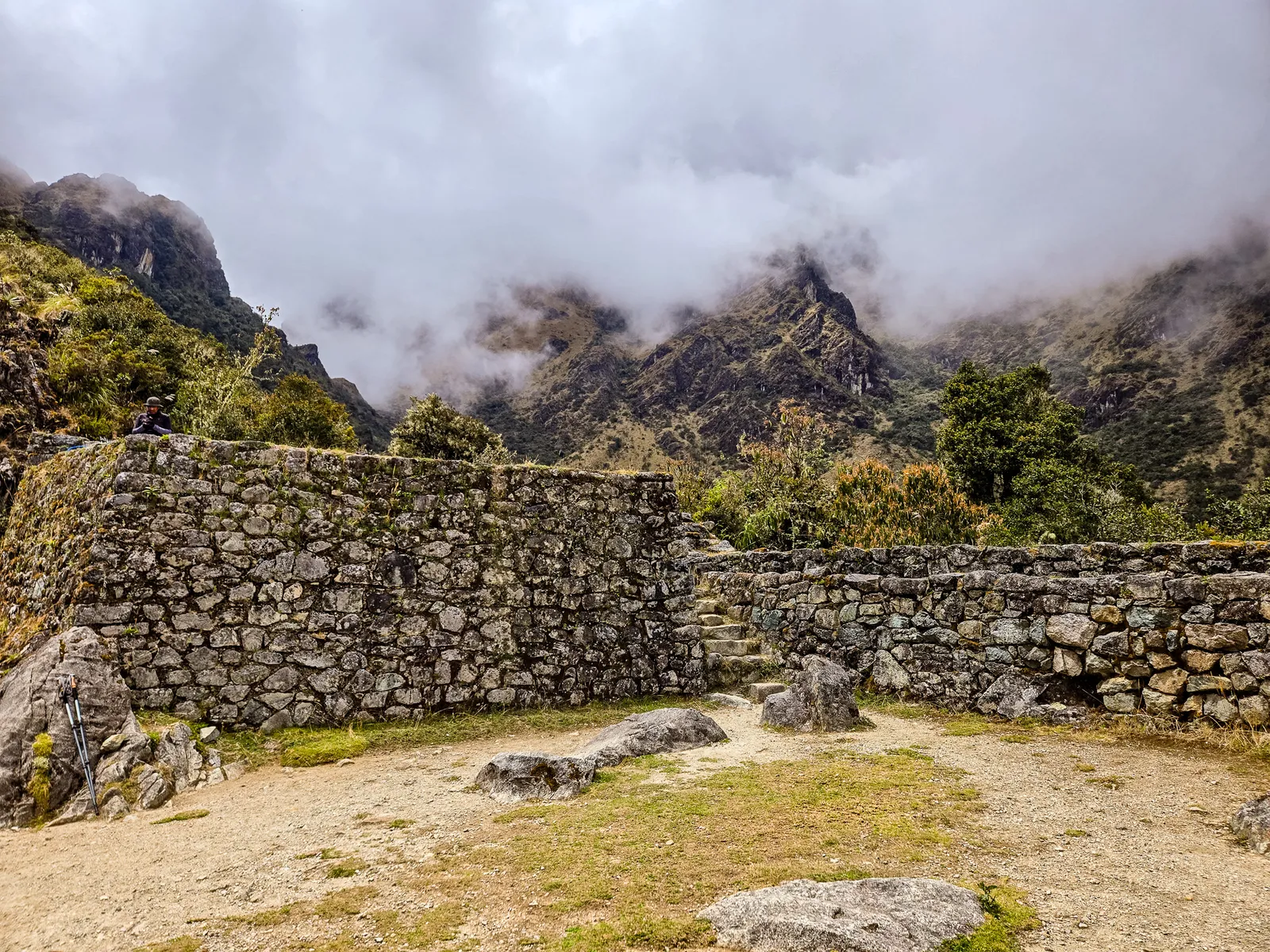
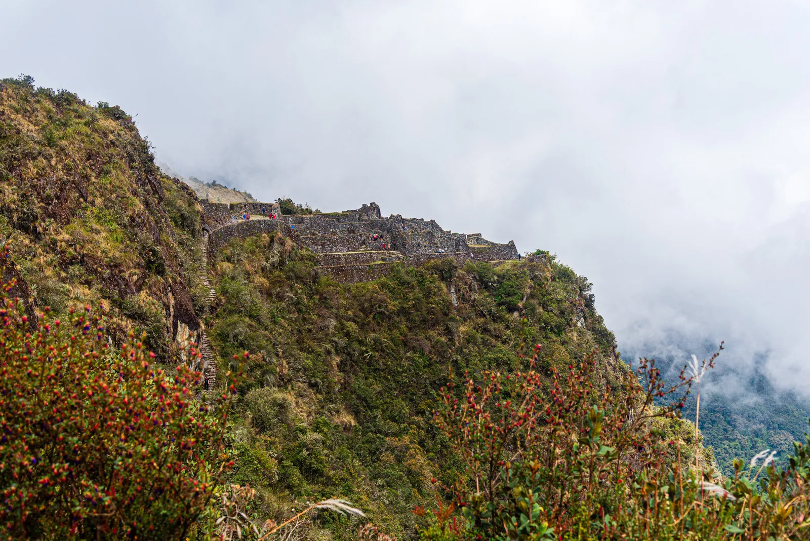
We descended steeply from the pass. Around 10:30 AM, the impressive ruins of Sayaqmarka appeared at 3,625 meters (11,893 feet). Like every ruin on the Inca Trail, Sayaqmarka’s original Incan name is unknown. The modern Quechua name means “inaccessible town”, fitting for its defensible location perched on a rocky outcrop.
The only way in is a steep, narrow staircase. We dropped our packs and climbed up to explore. Hiram Bingham rediscovered Sayaqmarka while exploring the region around Machu Picchu. The site remains mysterious, its exact purpose still debated.
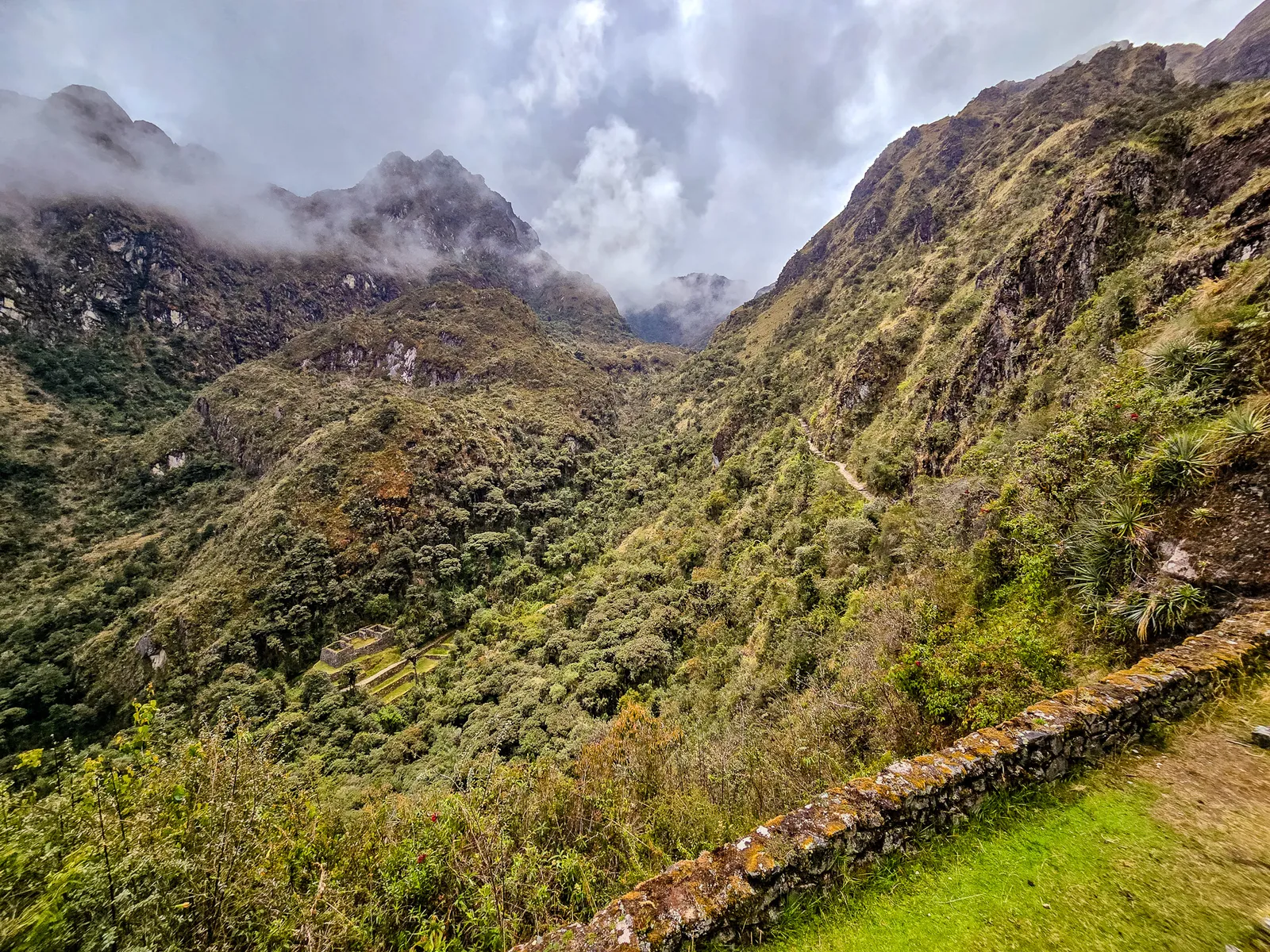
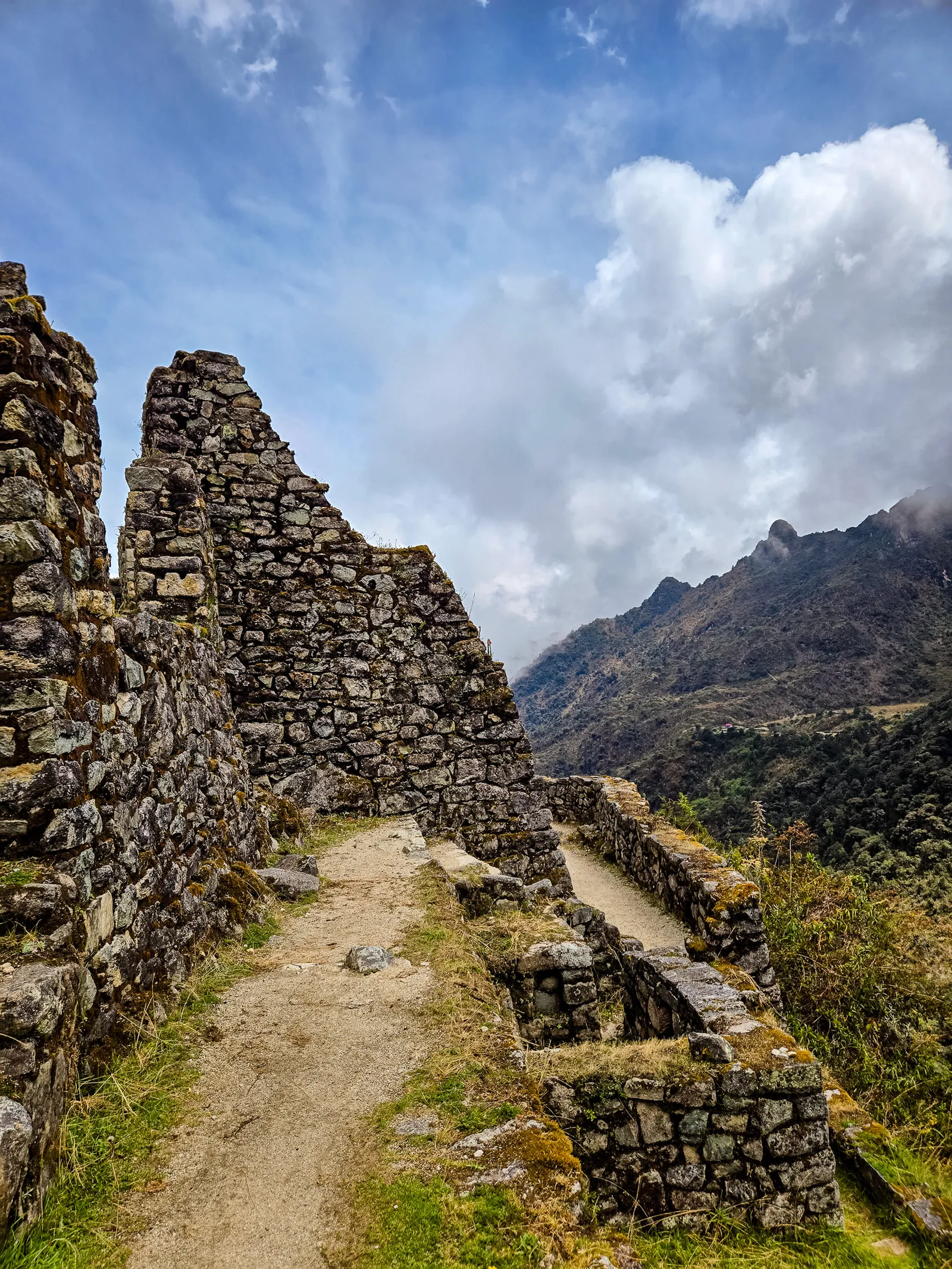
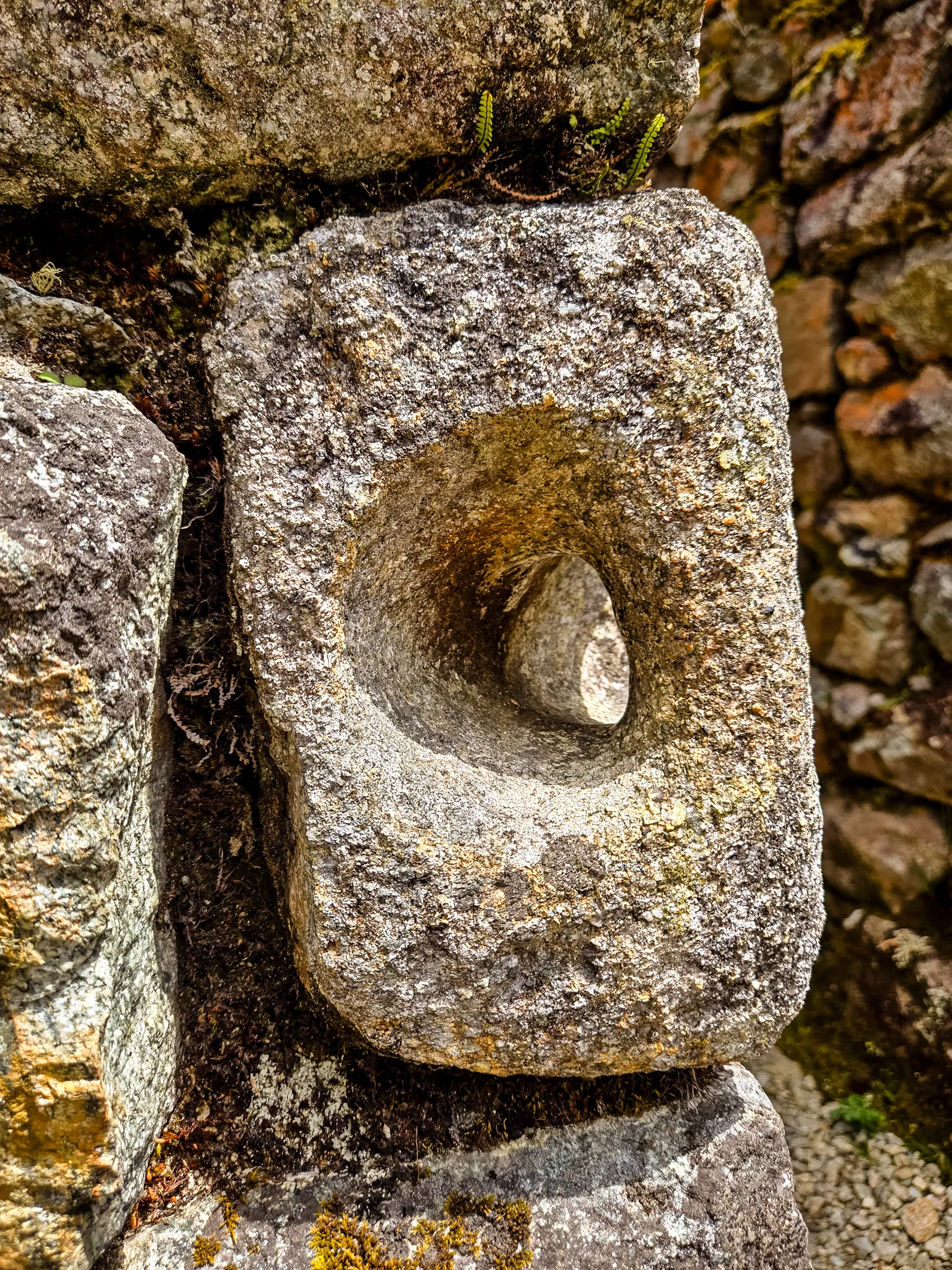
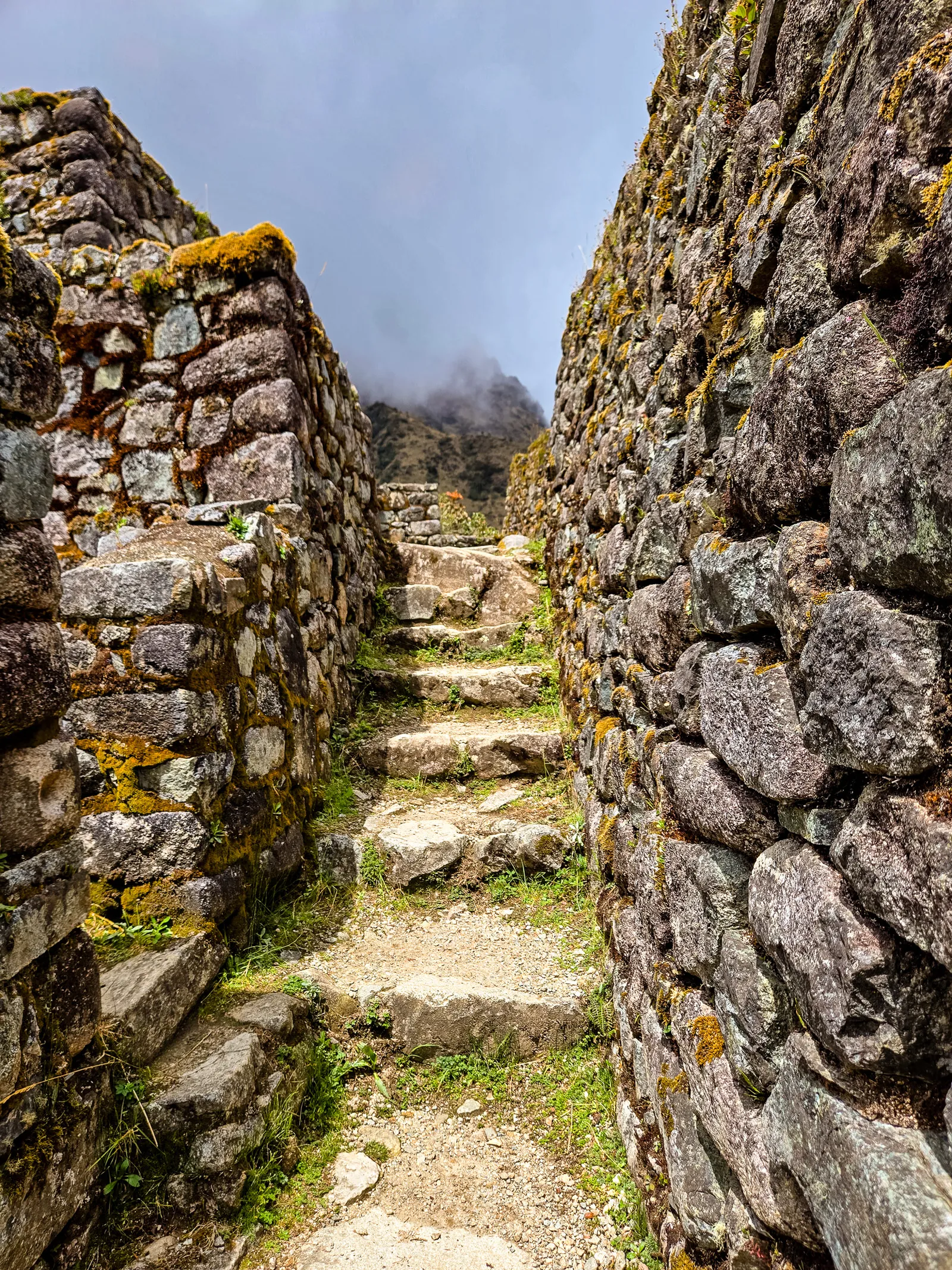
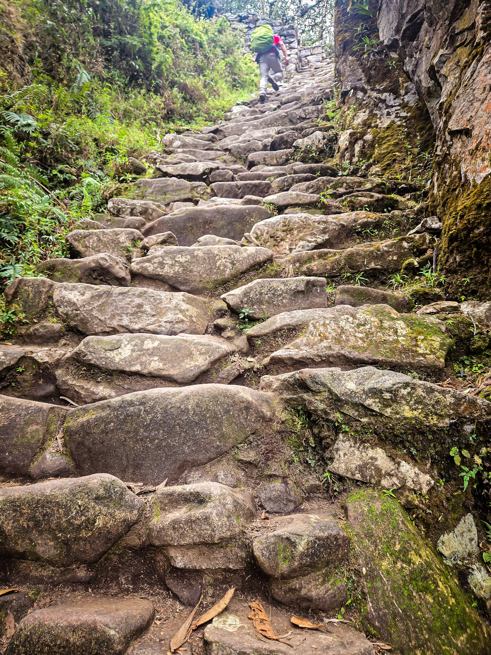
After crossing through a stone tunnel beyond Sayaqmarka, we faced what guides call “The Gringo Killer”, more than 2,000 steep, uneven stone steps descending toward camp. The first section looked terrifying but was mercifully short.
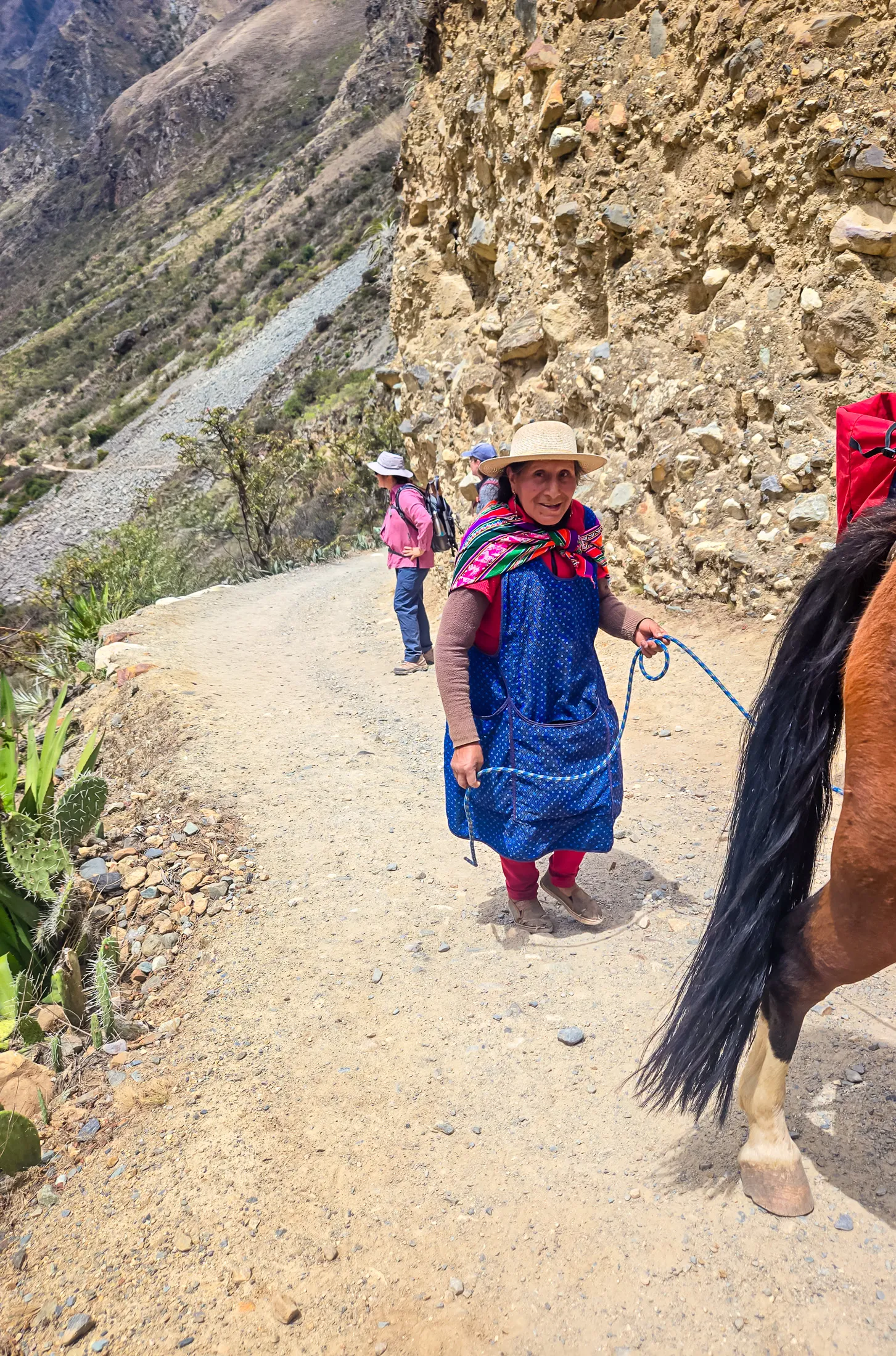
Then the real descent began. A few miles before reaching the campsite, we encountered an elderly man walking the trail. He’d fashioned a flute from a metal pipe and was playing an enchanting melody. I stopped to film him. When he finished, I handed him a tip, a small price for a moment I’d never forget.
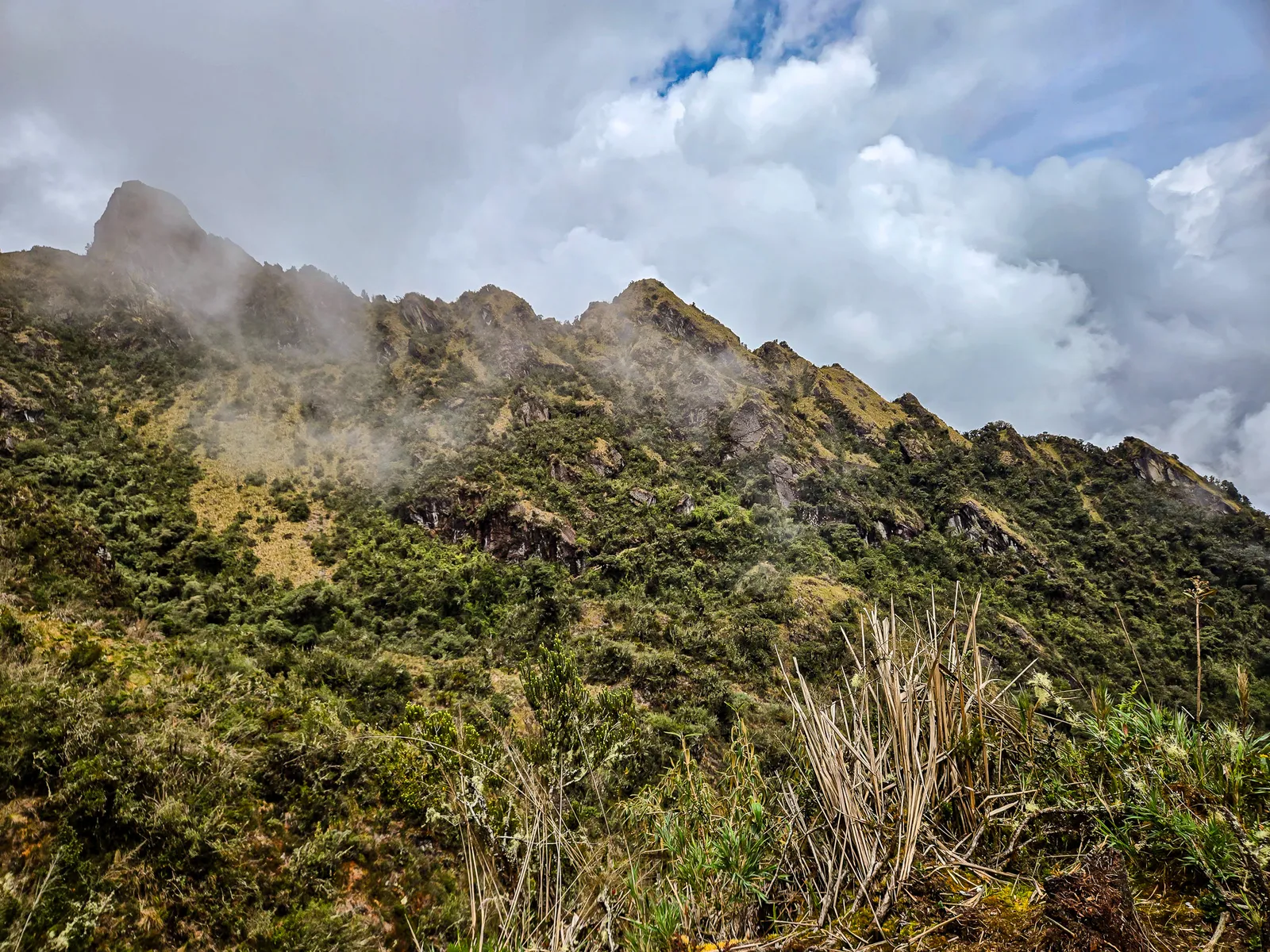
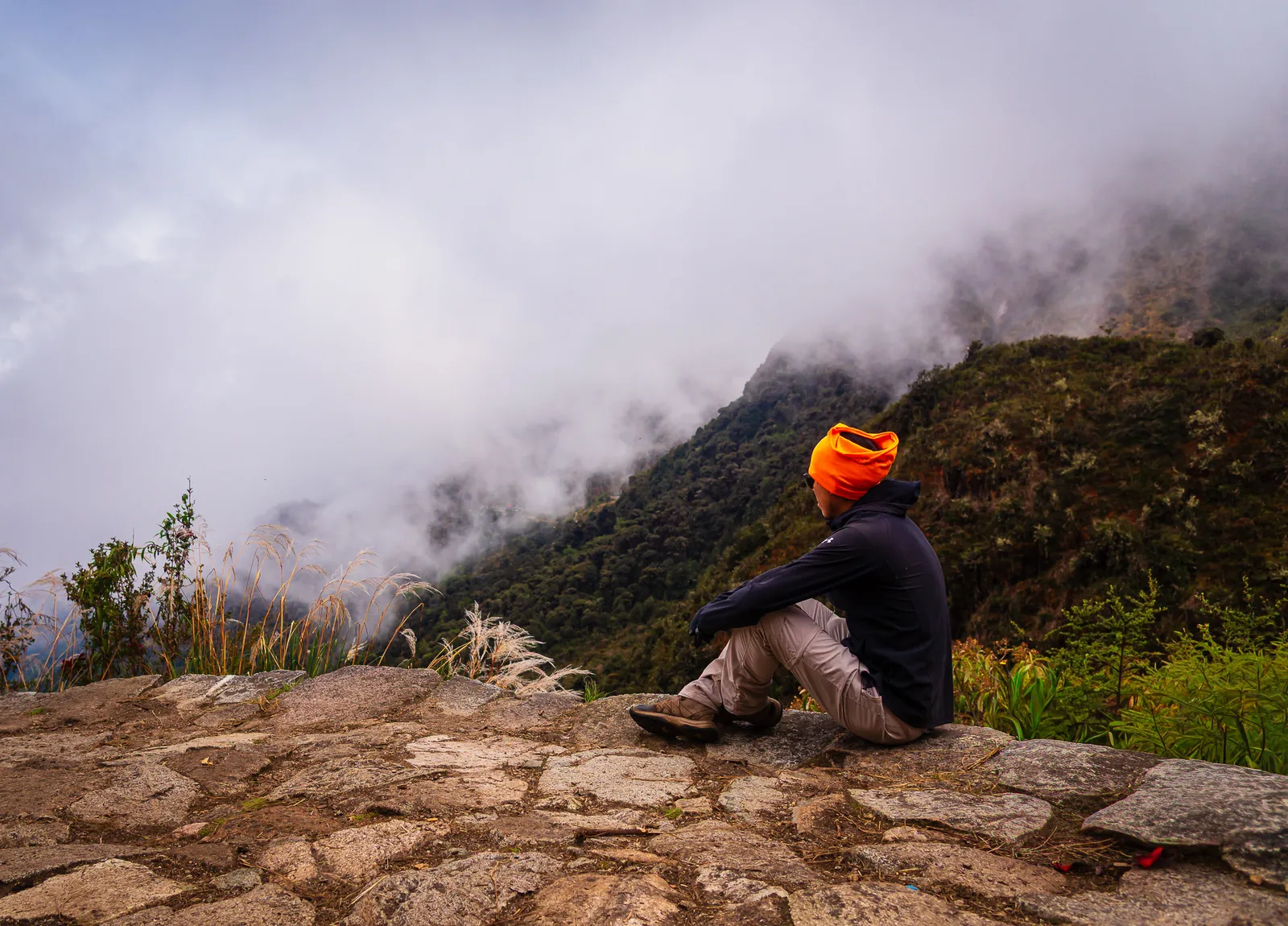
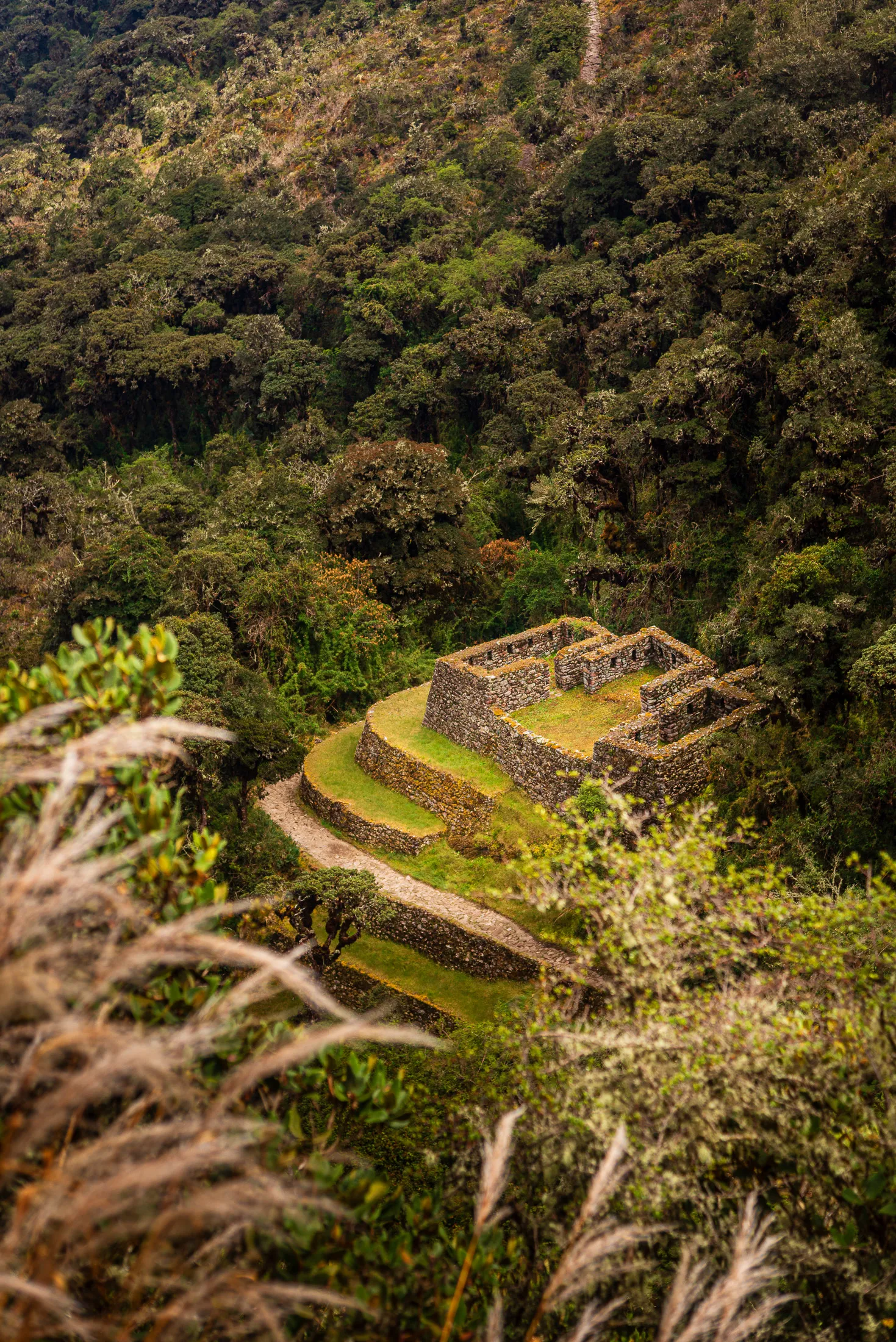
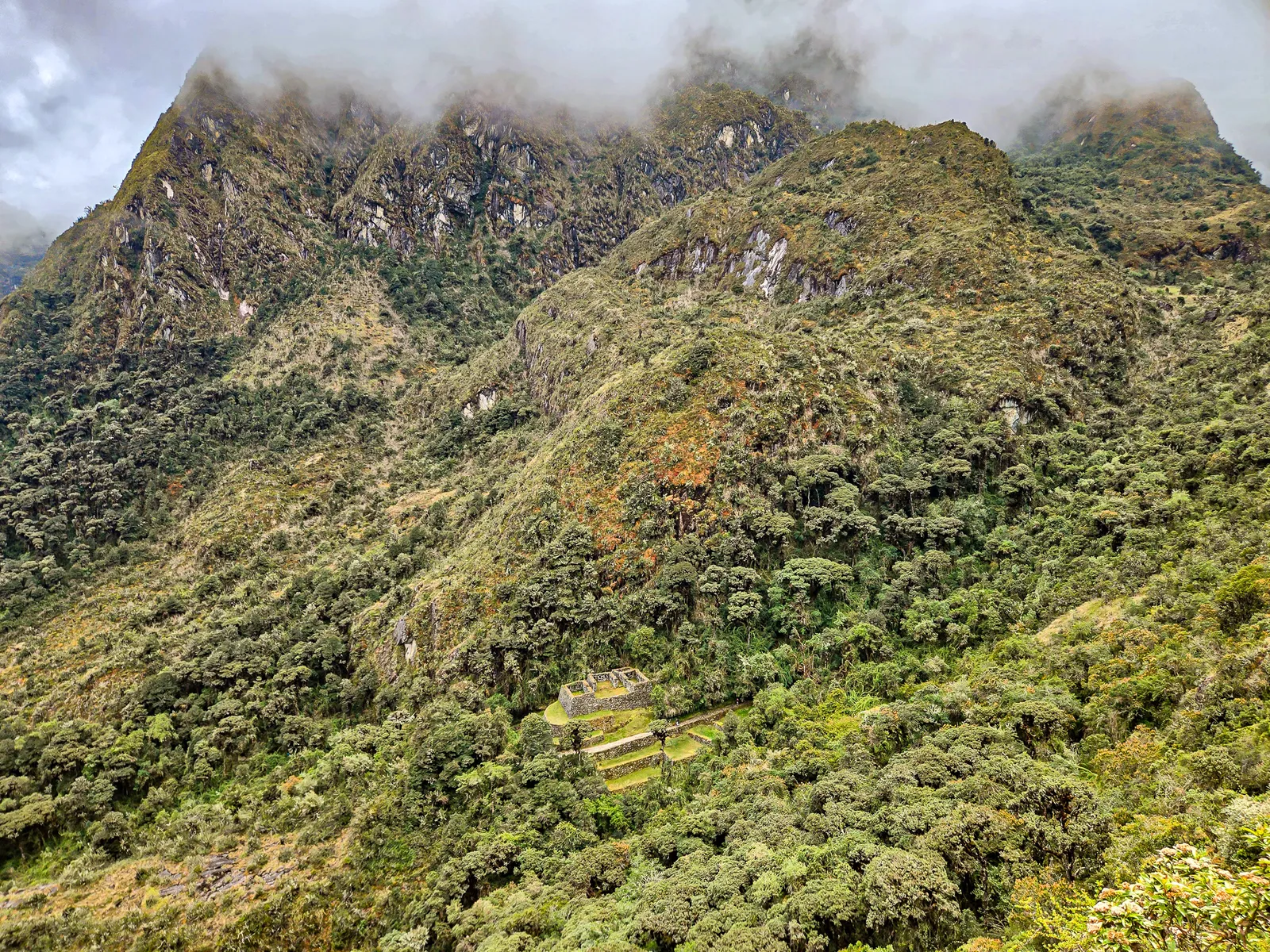
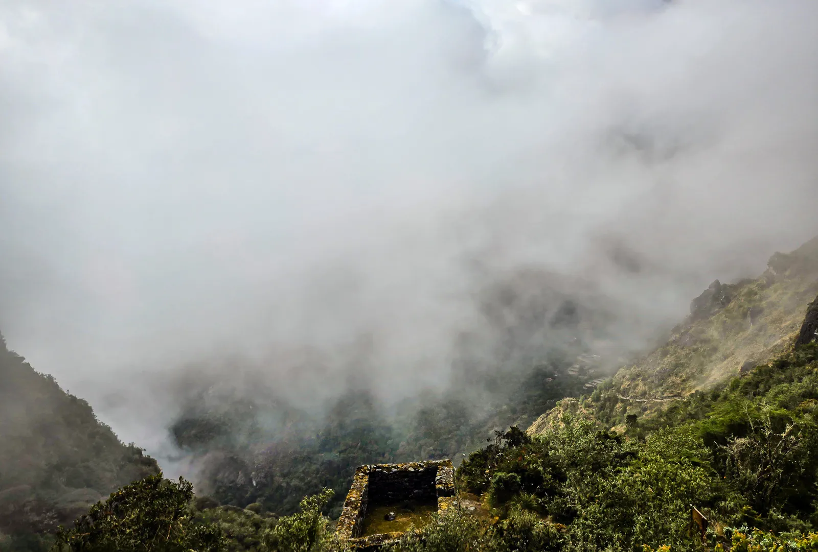
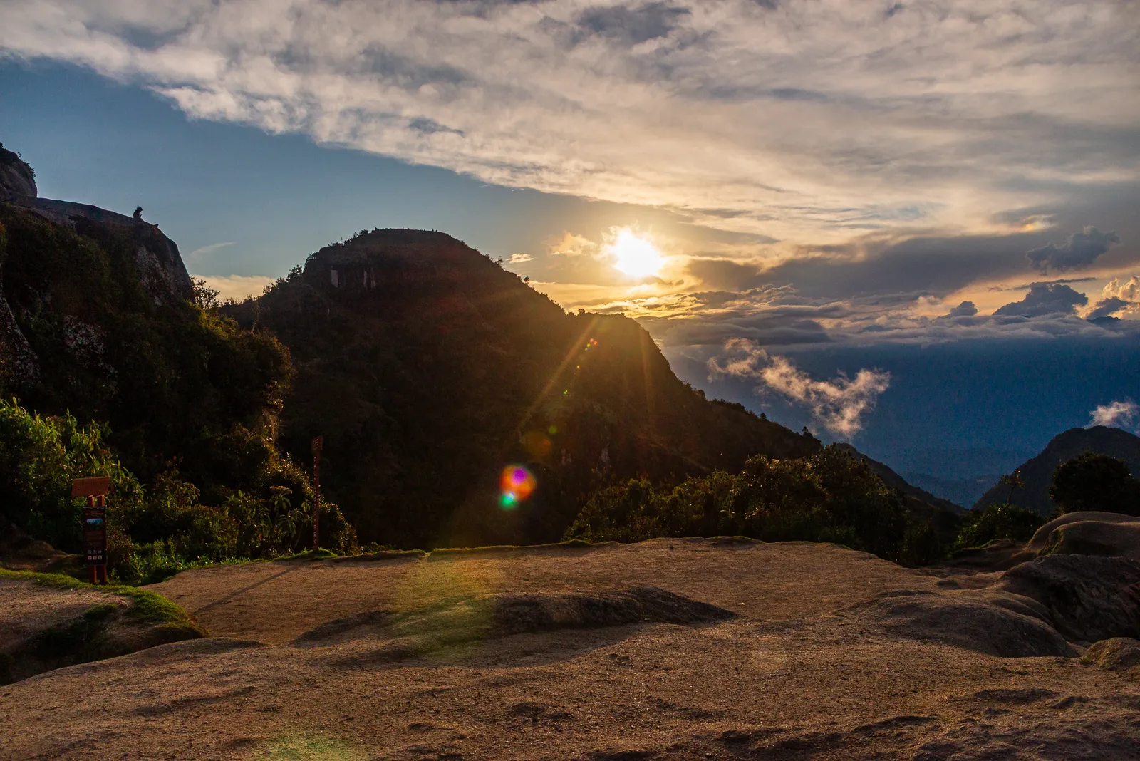
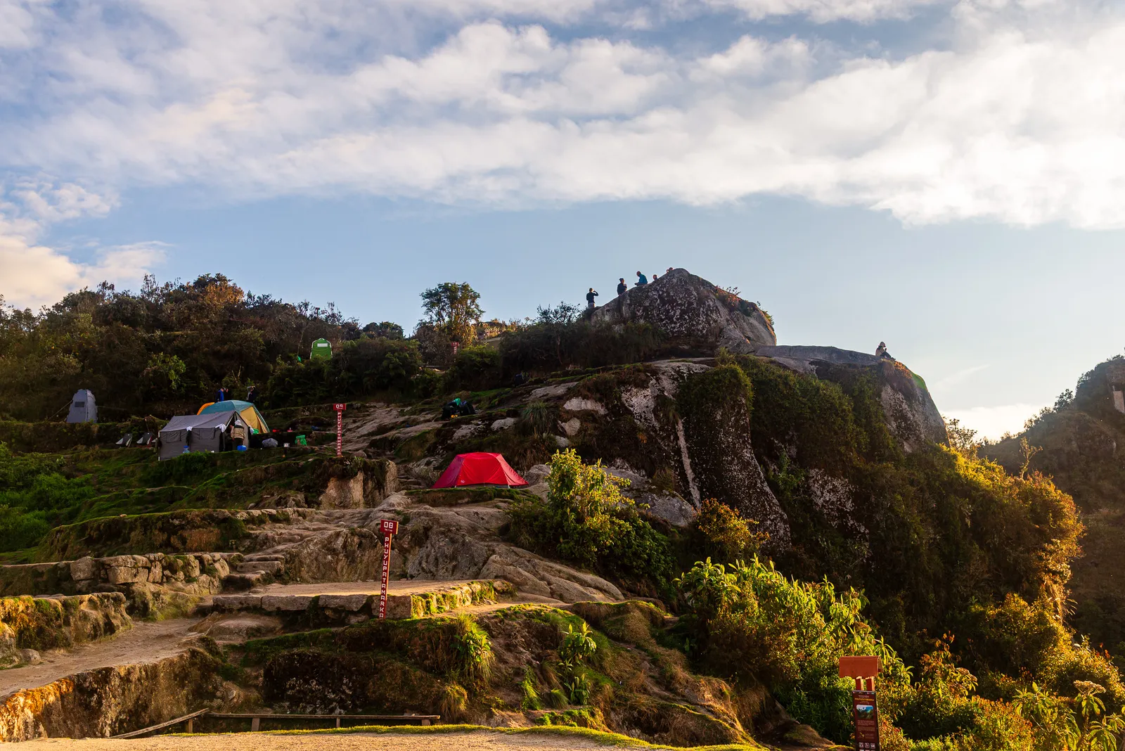
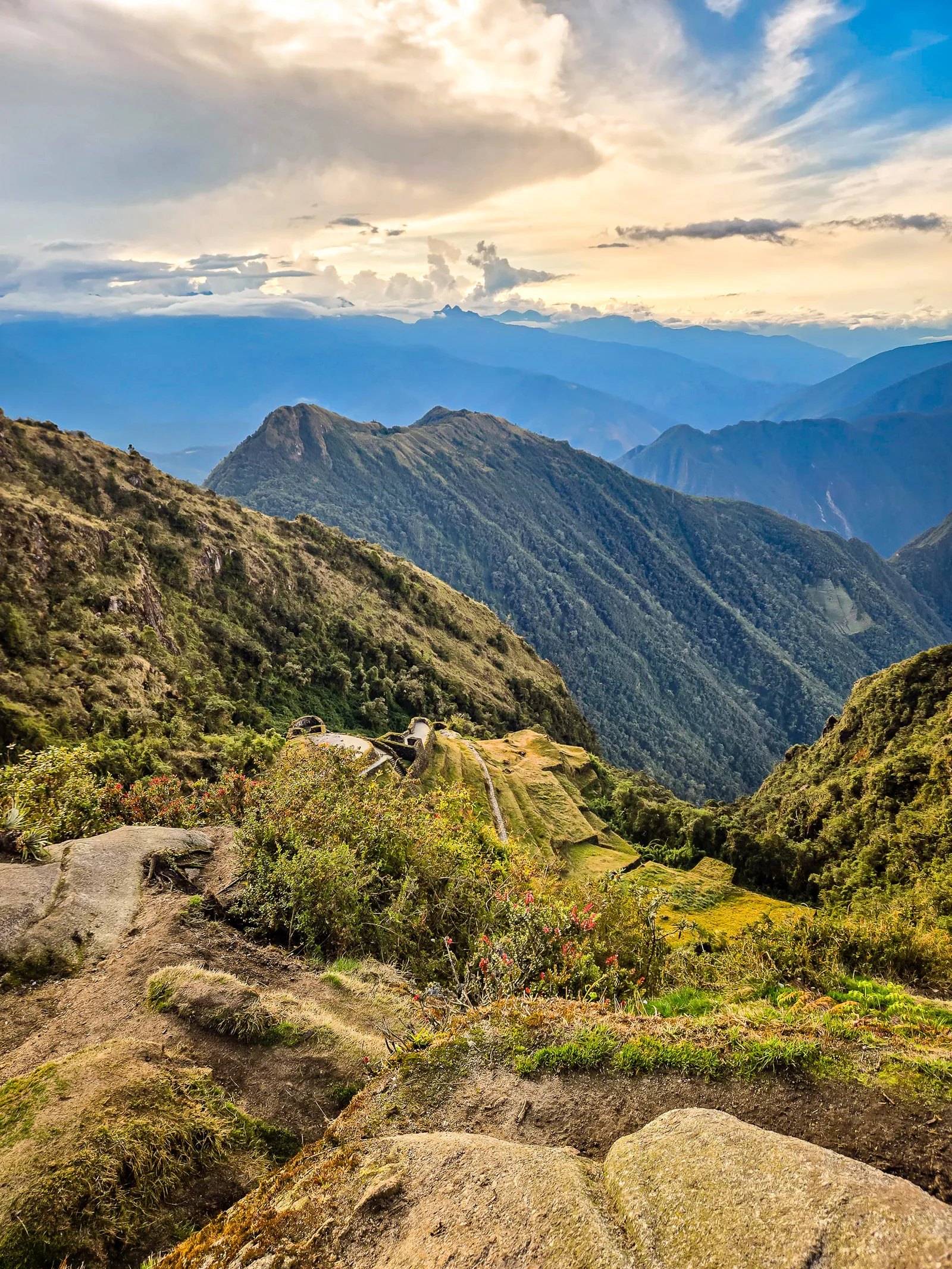
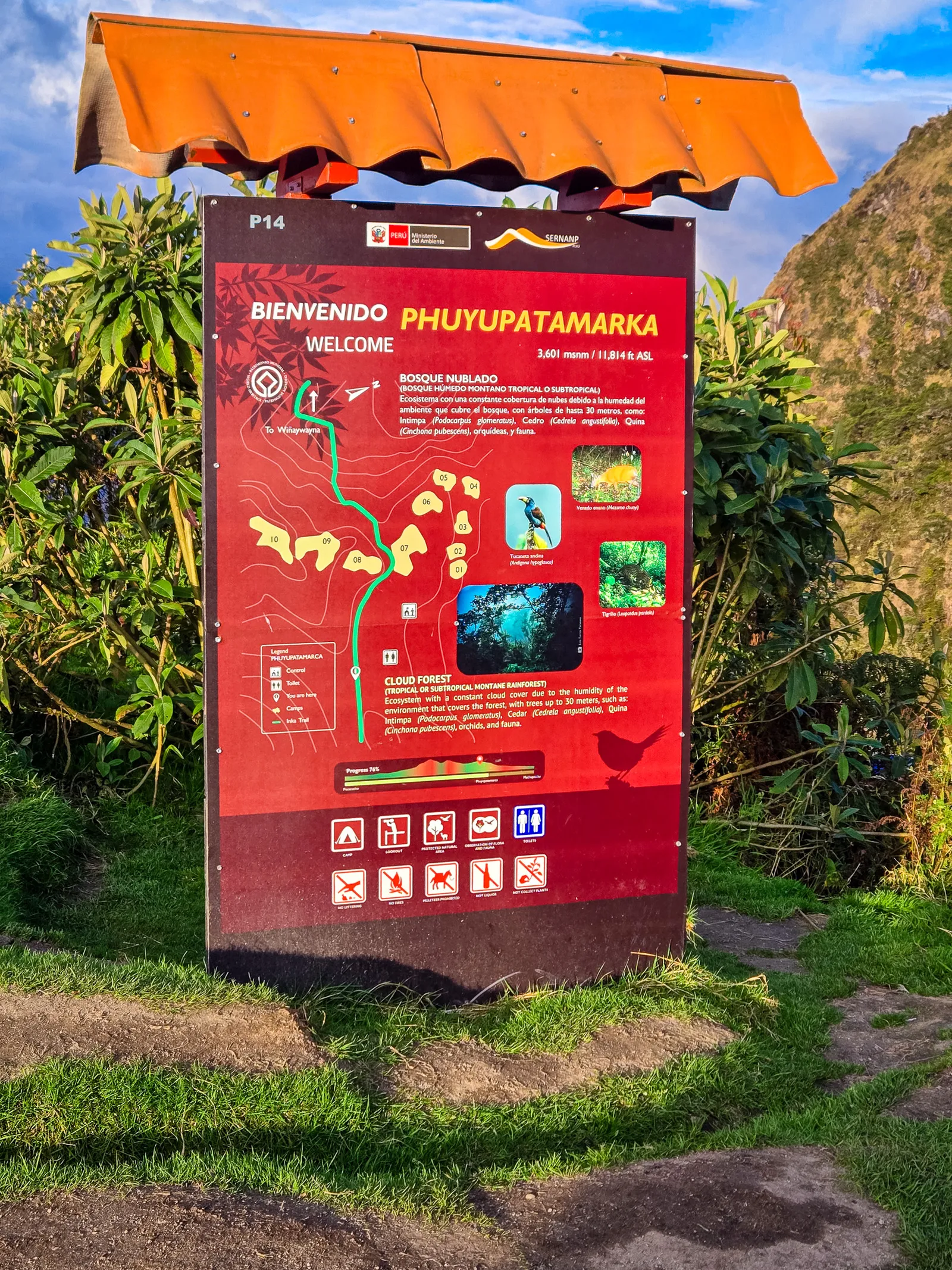
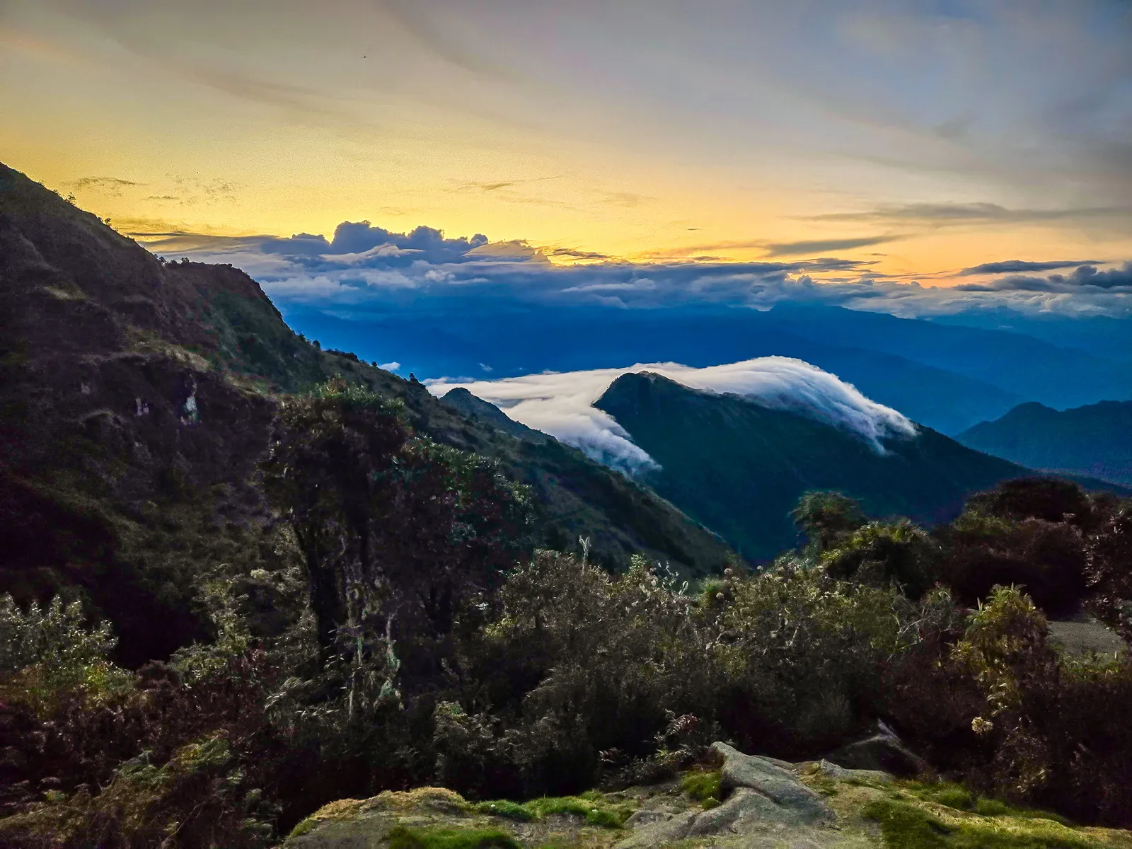
Finally, we reached our last campsite before Machu Picchu: Phuyupatamarka, the “City Above the Clouds.” We arrived around 2:00 PM with daylight left to explore. Mist drifted across the ridge as the ruins appeared below in the softening afternoon light.
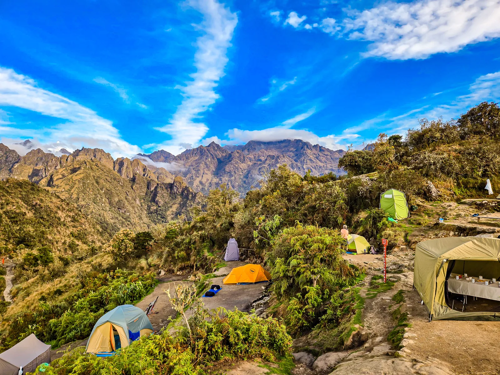
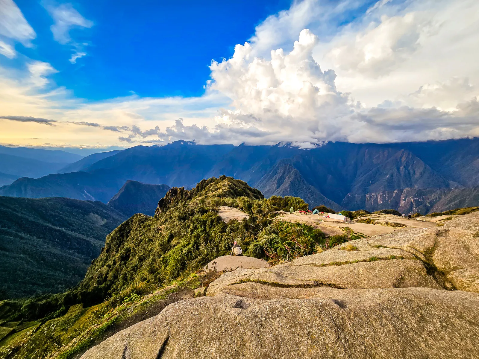
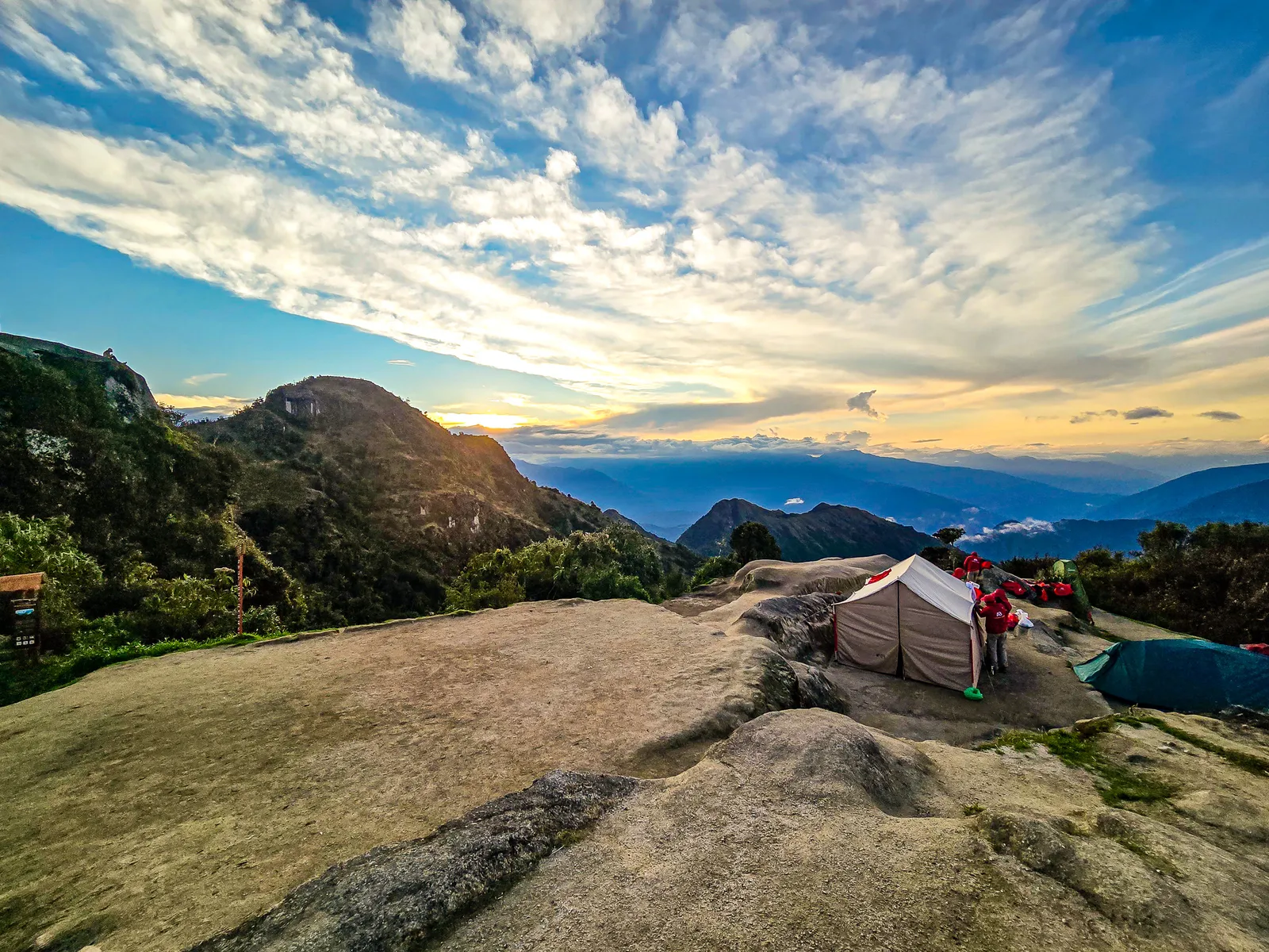
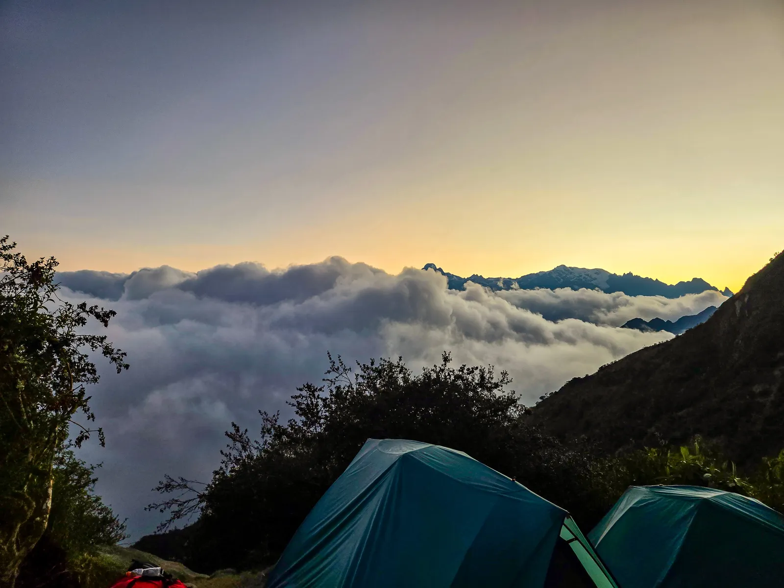
The campsite is built into terraces carved into the mountainside. Several tour companies stay here, while others continue to Wiñayhuayna, so each terrace hosts a different group. Our terrace sat along the outer edge, tents facing Mount Veronica.
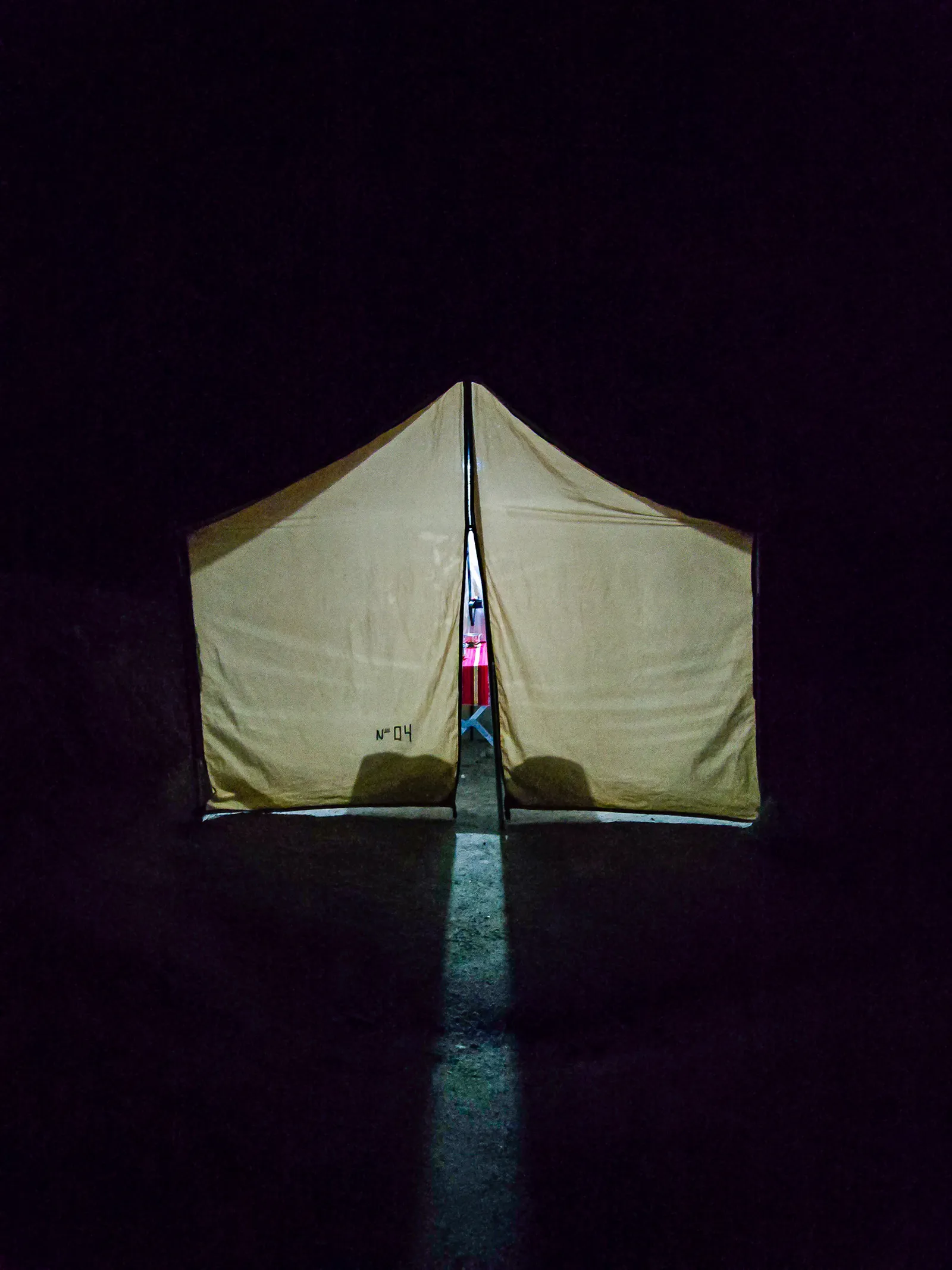
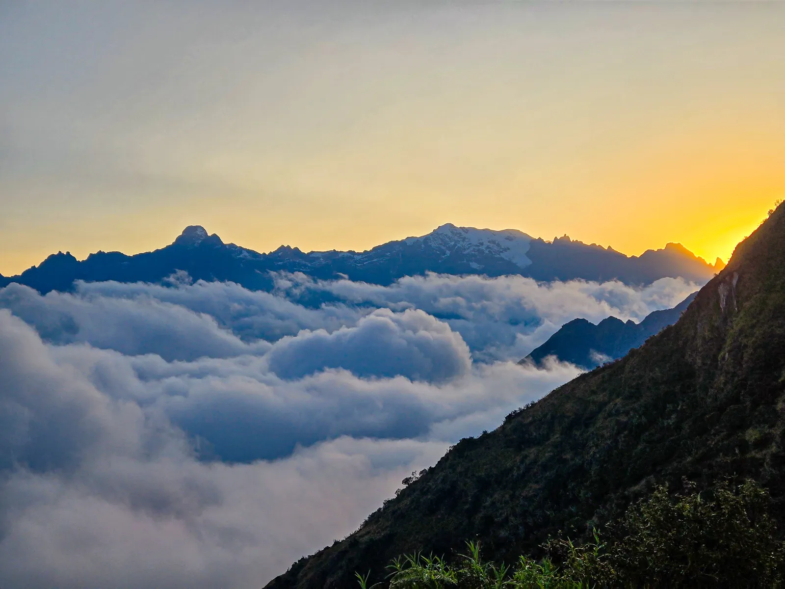
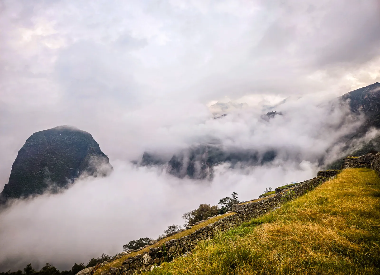
Below us, terraces dropped steeply down the hillside. The ruins rested above on the upper ridge. The entire complex sits on a high, narrow spine of the Andes, giving Phuyupatamarka its dramatic atmosphere. With clouds rising and falling around us, it felt like a hidden world suspended between the Andes and the Amazon. When night fell, darkness was absolute, no light pollution, no moonlight. A strong headlamp became essential for the short walk from our tents to the dining tent.
Dinner was bittersweet as this is the part where we say our goodbyes to the porters and provide our tips, as some will make their way straight to Aguas Calientes in the morning. We still had one more breakfast and a lunch, so just the chef and sous chef and a couple of porters would remain behind.
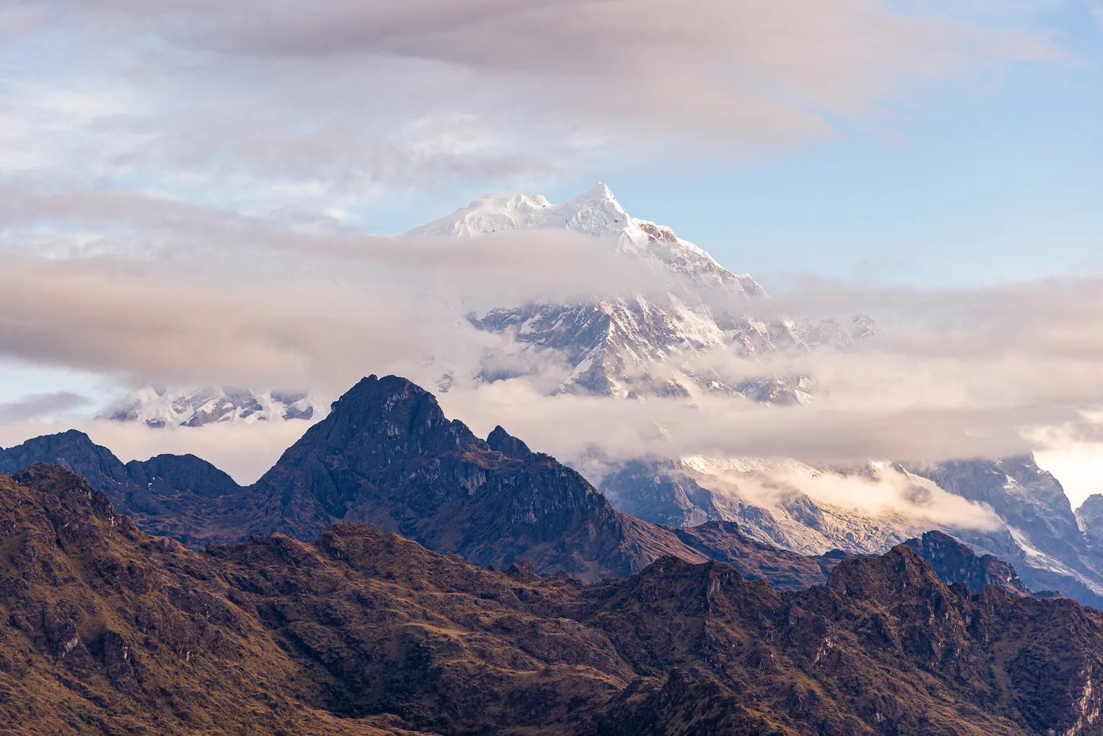
To the Sun Gate, farewell to our porters and train strike
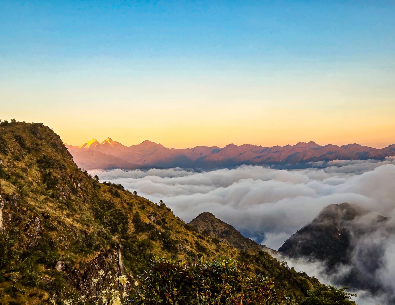
This was the worst sleep of the entire trek. The ground at Phuyupatamarka is solid rock. We woke every few hours, shifting positions to relieve pressure on our hips and backs. The only comfort was knowing this was our last campsite. Morning brought hot coca tea, which hit the spot in the cold mountain air. After breakfast, we gathered to hear about the day’s route.
This section would be the highlight of the trek, we’d pass through Inti Pata, Wiñay Wayna, and finally reach Intipunku, the Sun Gate. After breakfast, we quickly secured our gear as some porters needed to take it ahead to Aguas Calientes. Throughout the trek, we’d heard rumors of train strikes. An indefinite strike had begun around September 14 due to disputes with the Consettur bus operator, forcing PeruRail to suspend services. The word was negotiations were ongoing, but nothing was certain. The possibility of getting stranded caused real anxiety.
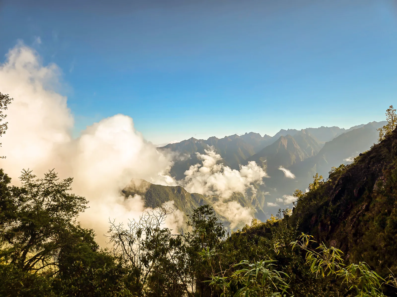
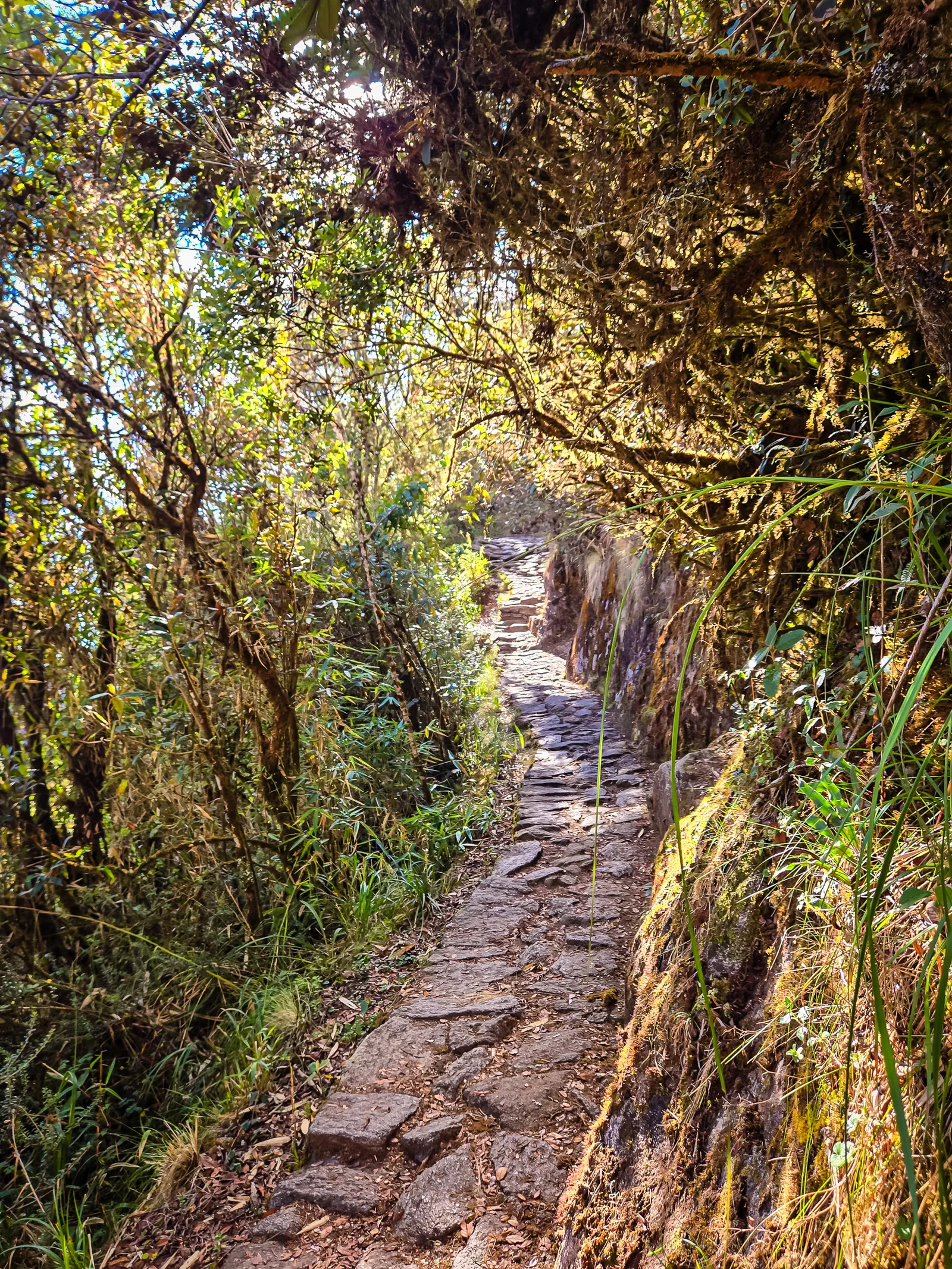
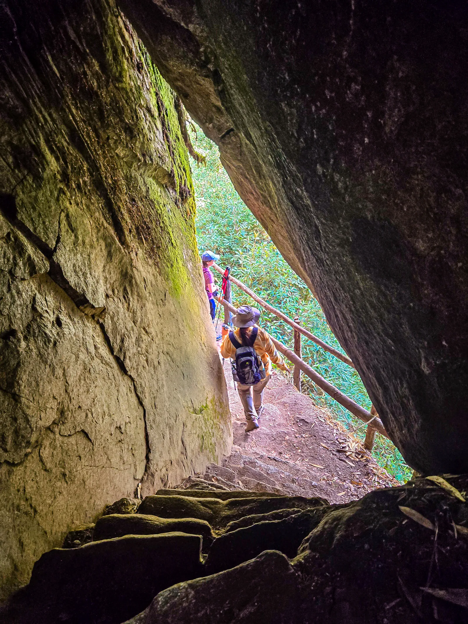
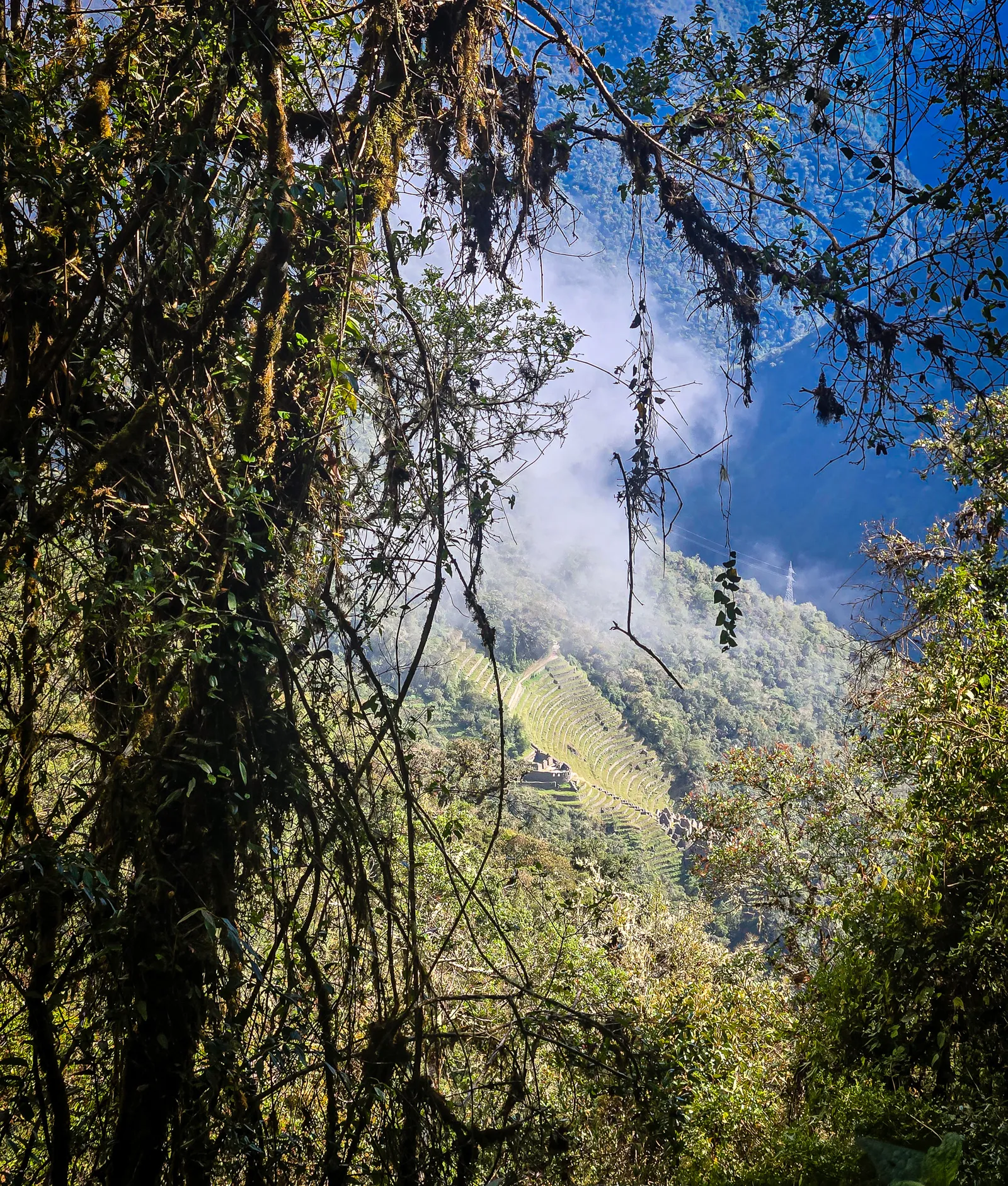
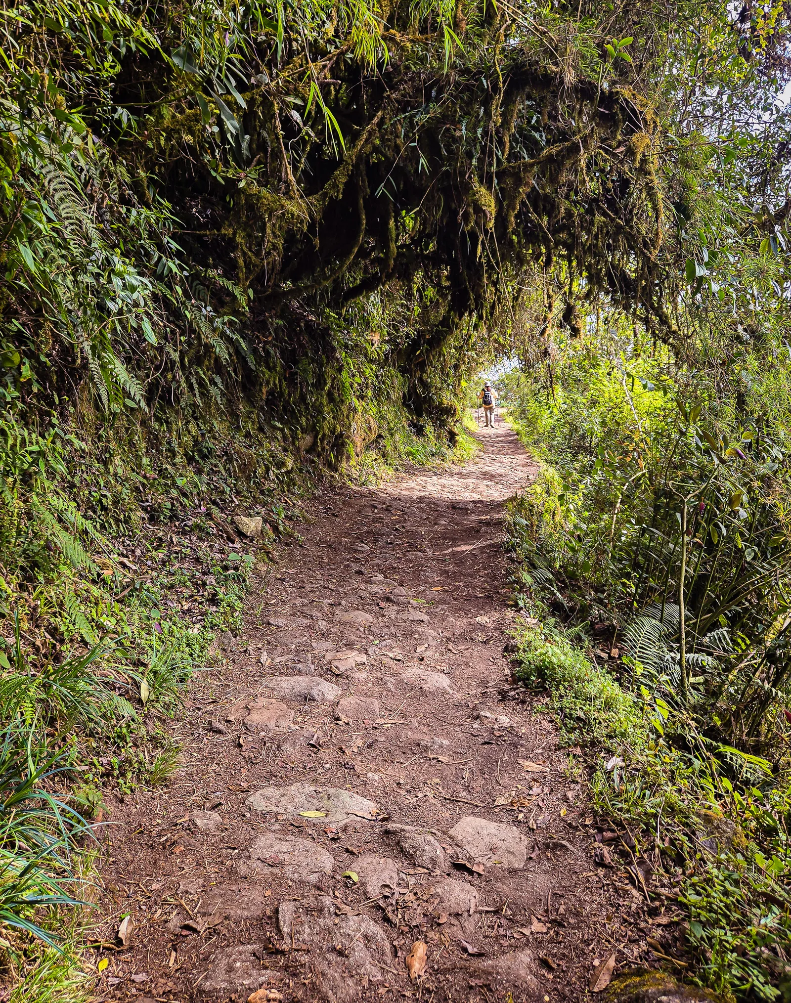
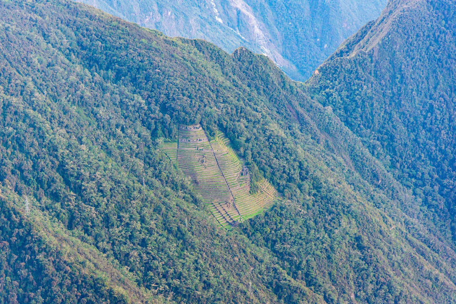
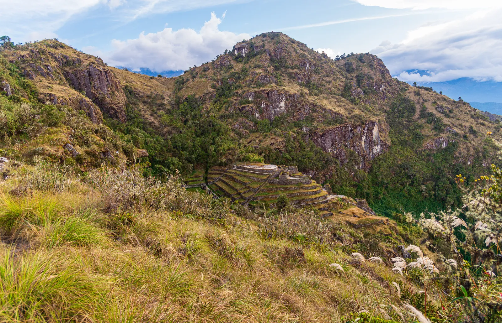
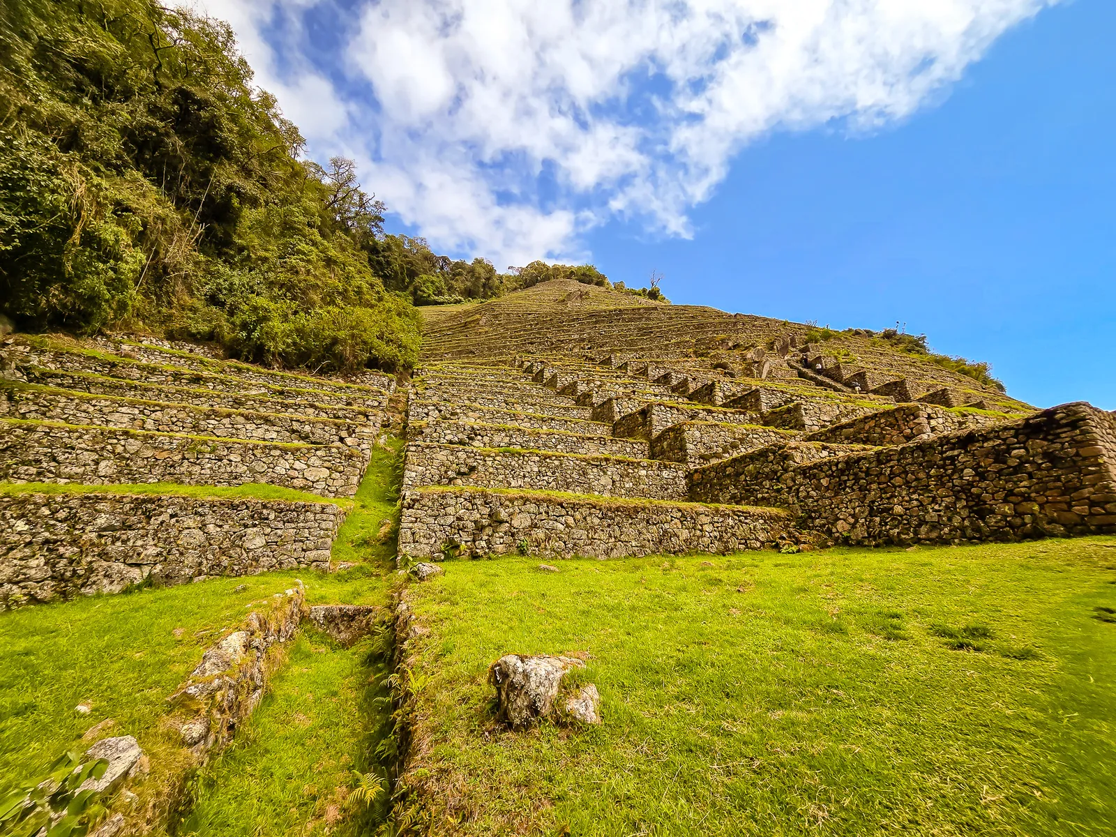
By 7:30 AM we were moving through some of the most beautiful, lush sections of the trail. Our first stop was Inti Pata, the “Place of the Sun.” The trail followed the upper terraces, then gradually descended before reaching a set of steep stone staircases. The steps were deeply uneven, and the exposure was real, blue sky above, warmth of the sun, crisp air, and a deadly drop if you misstep. We took the 200-plus steps slow and steady.
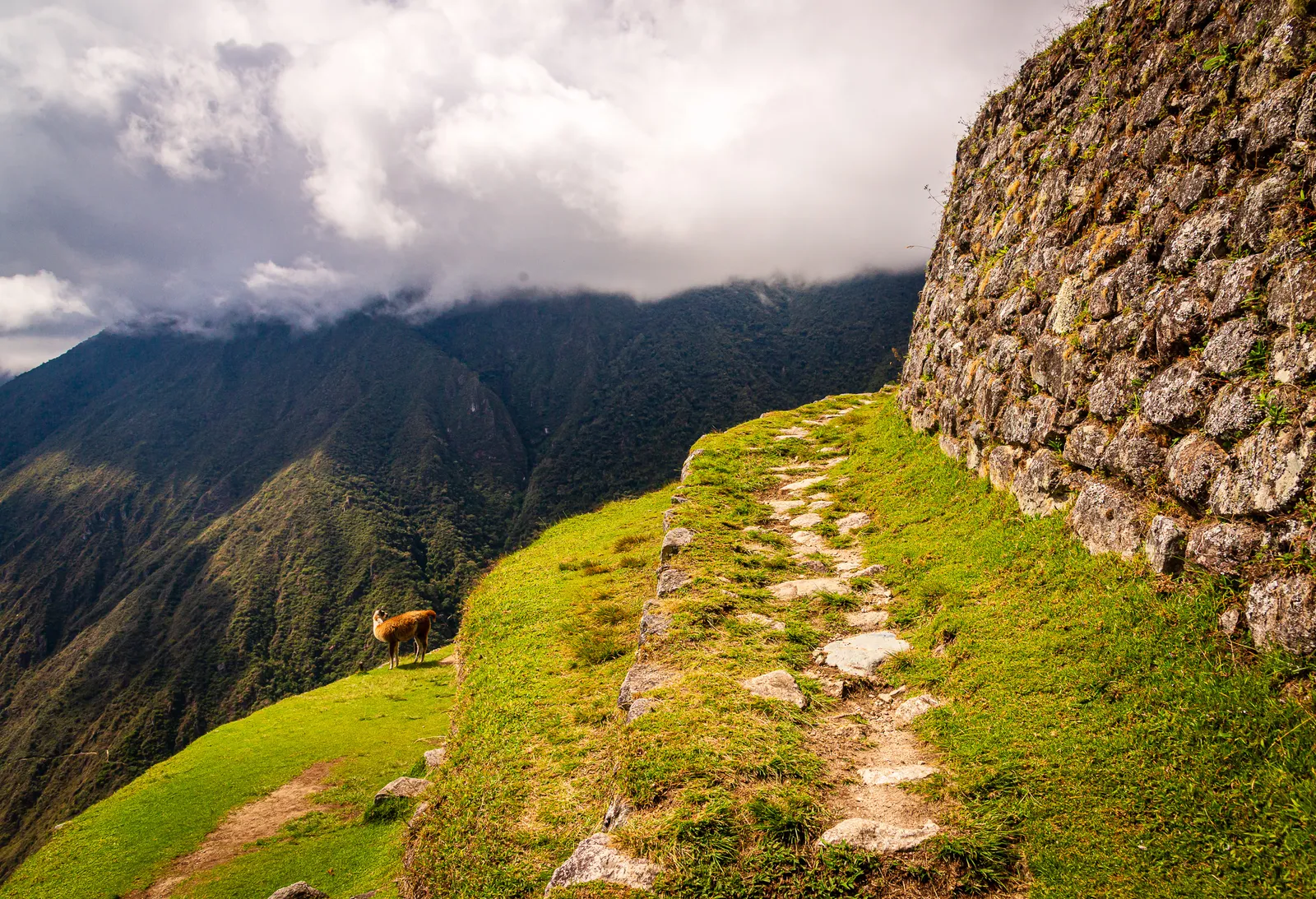
Inti Pata’s sweeping terraces carved into the hillside were striking. The site was heavily overgrown until the early 1990s, when archaeologists began clearing and stabilizing it. Unlike other Inca sites on the trail, Inti Pata has few residential structures, it’s almost entirely agricultural terraces cascading down the slope. Given its proximity to Machu Picchu, archaeologists believe it likely supported food production for the sacred city.
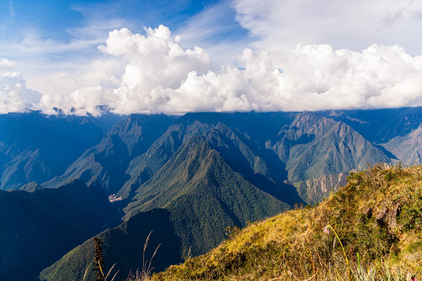
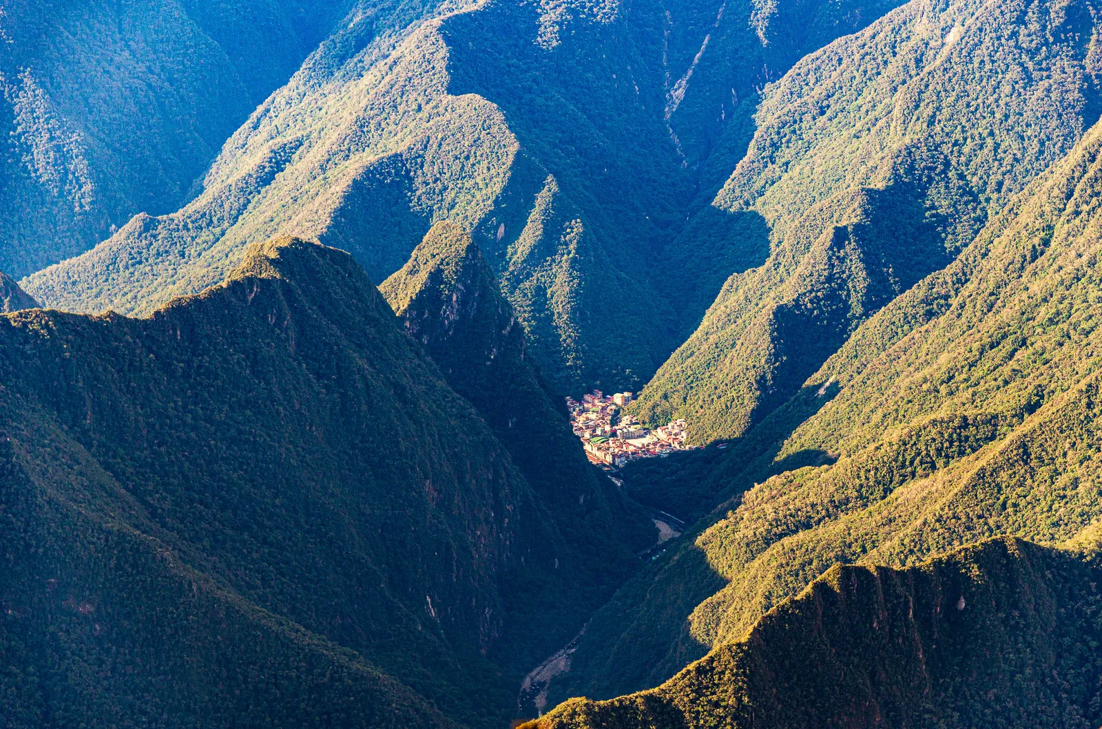
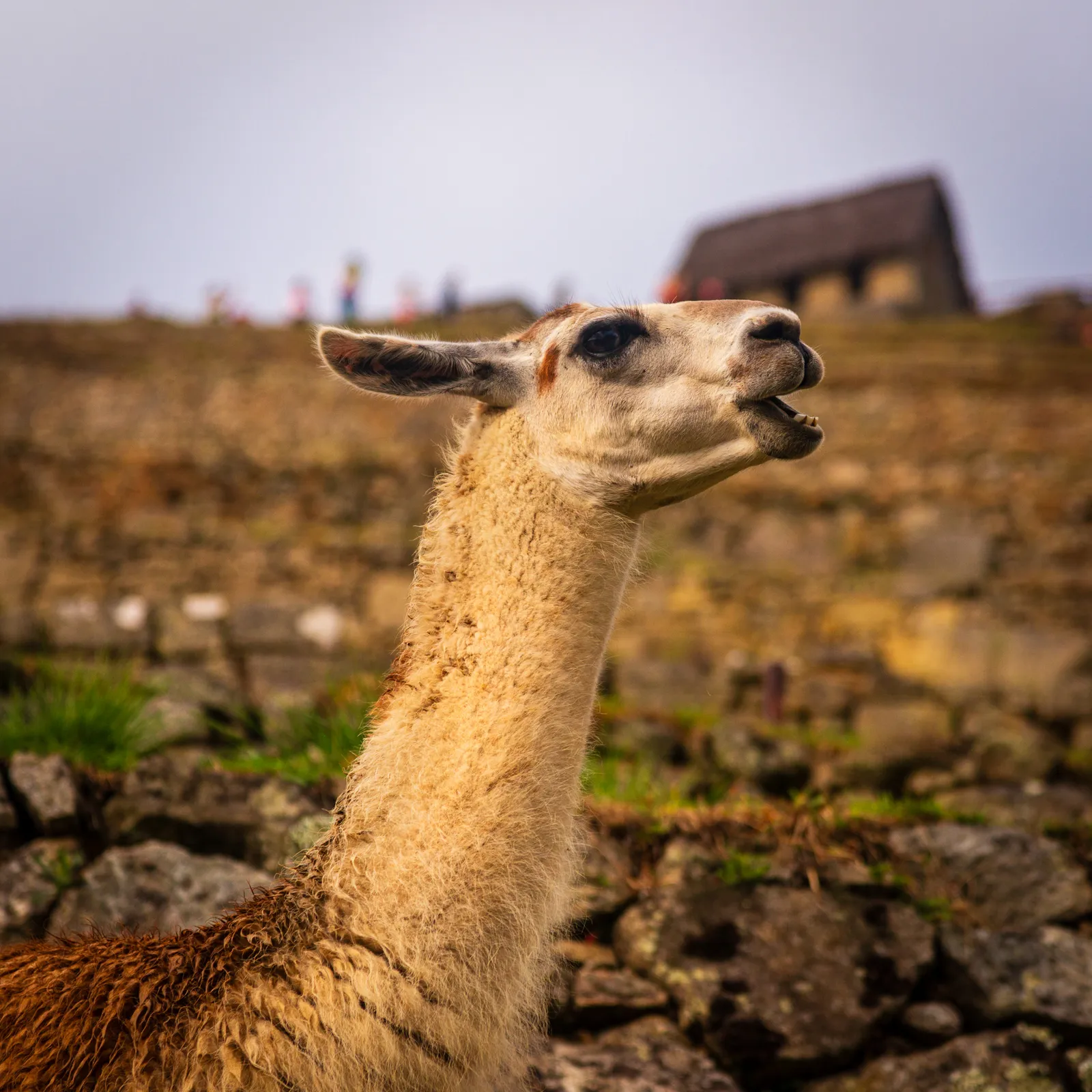
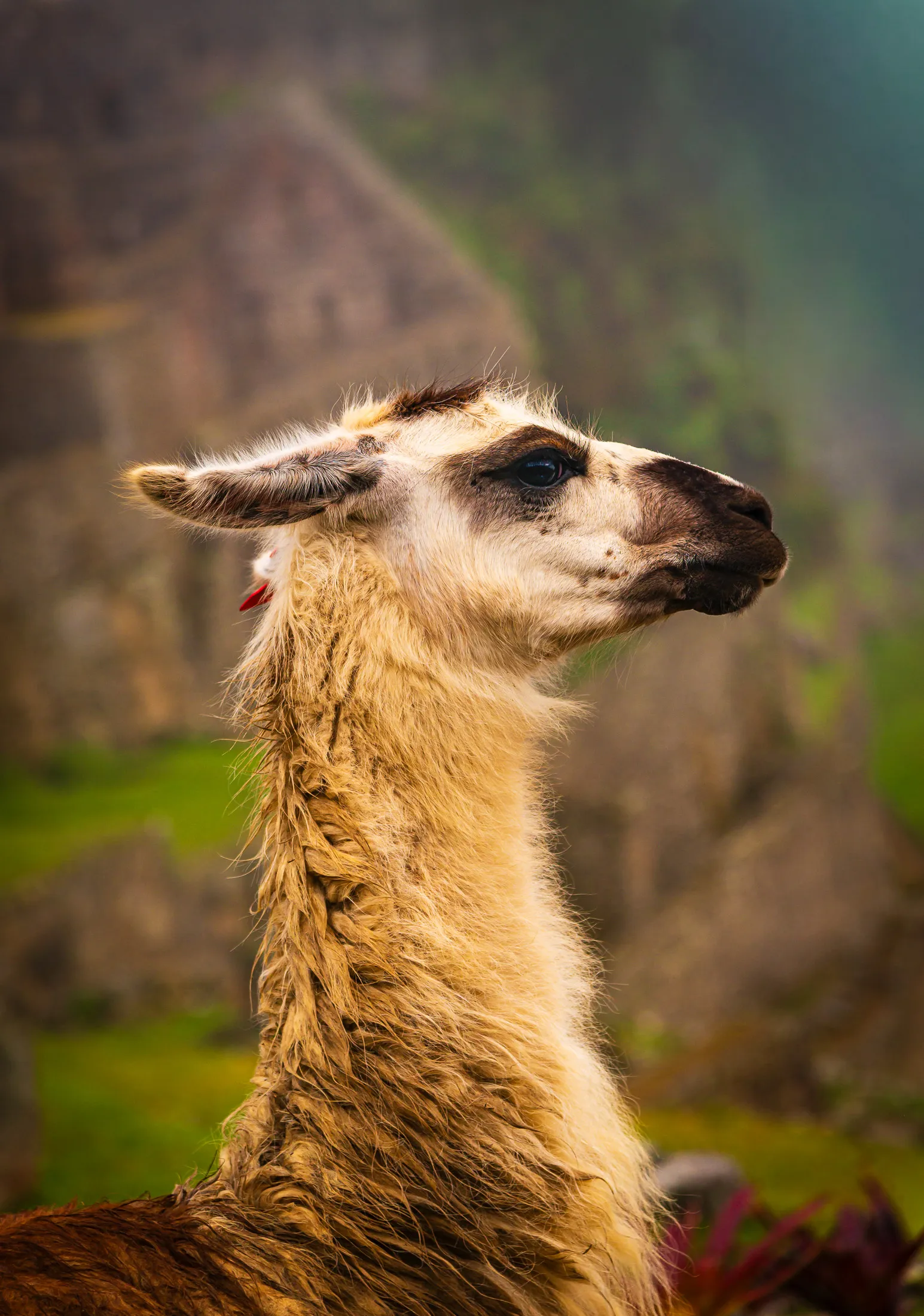
Despite its relative obscurity, Inti Pata became my favorite Inca site on the trail. The dramatic views of the river valley below, Aguas Calientes far off in the distance, llamas grazing peacefully, and, best of all, the sound of a train whistle echoing up from the valley. That whistle meant the trains were running. We wouldn’t be stranded after all.
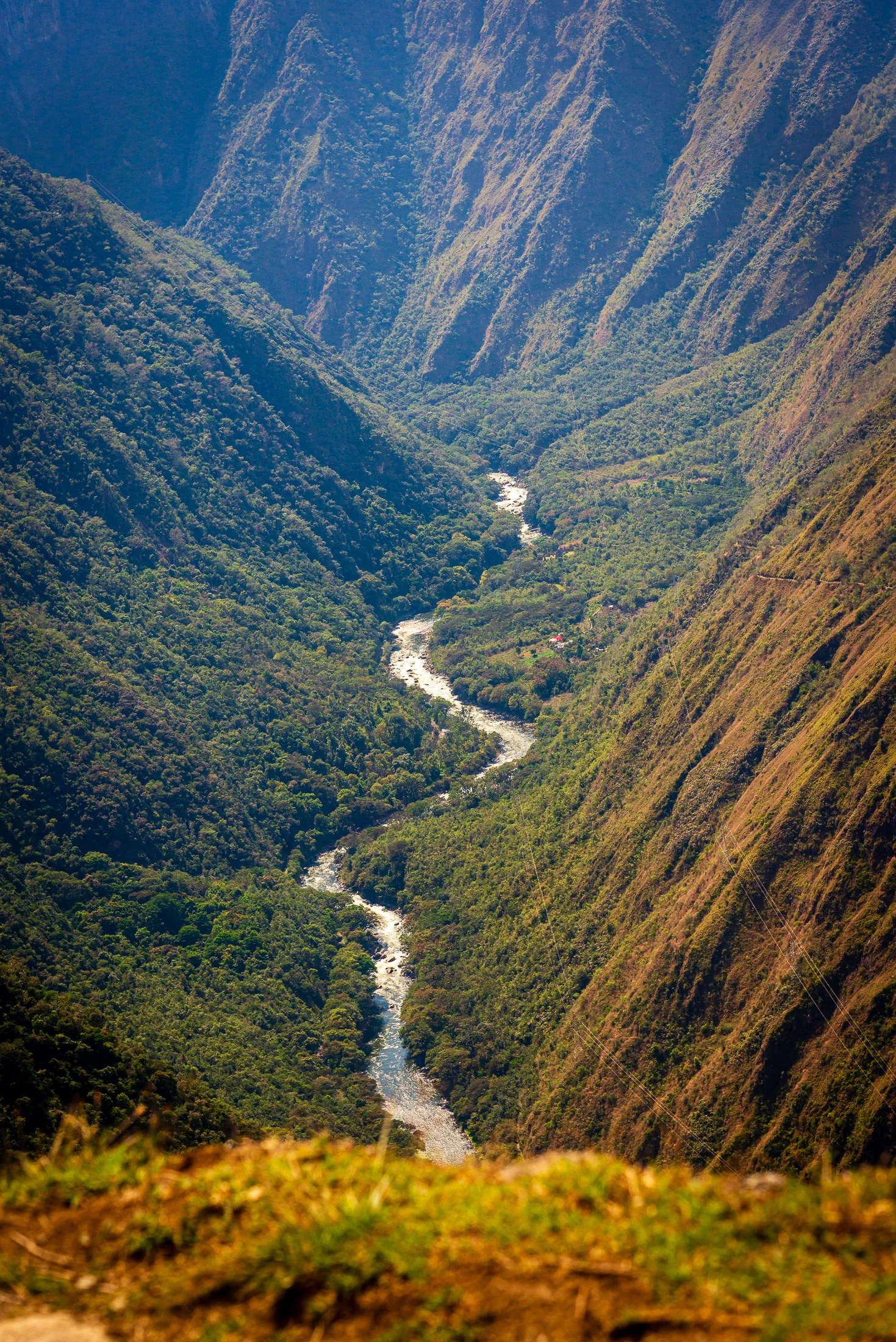
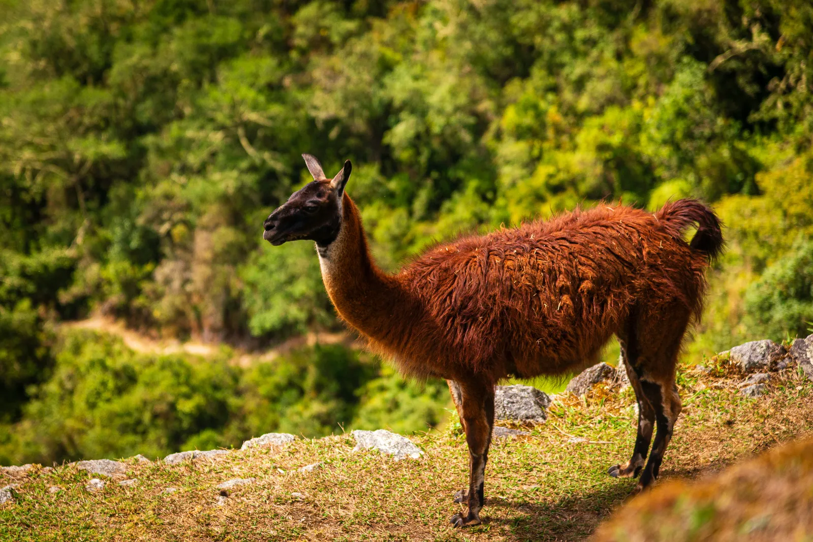
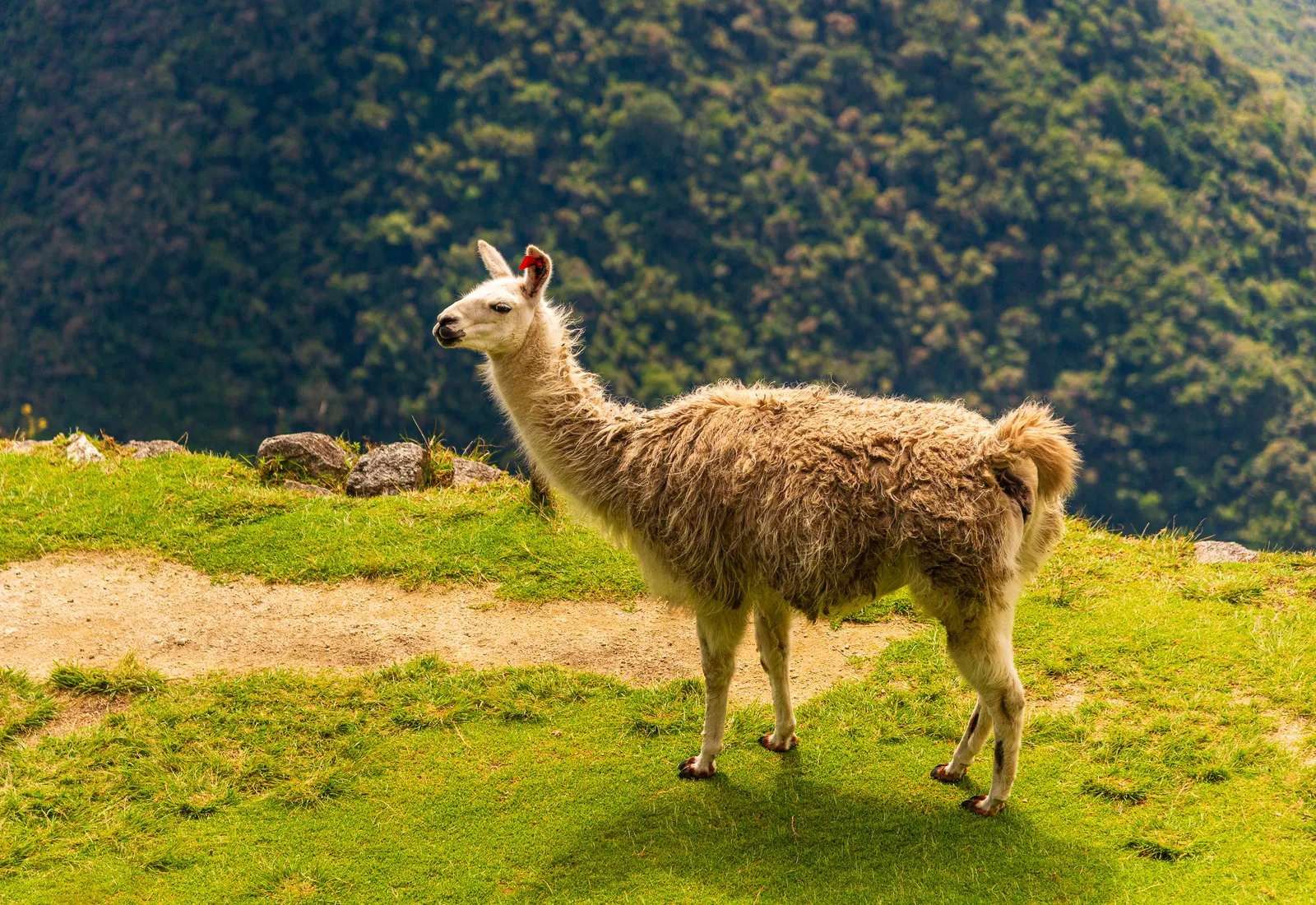
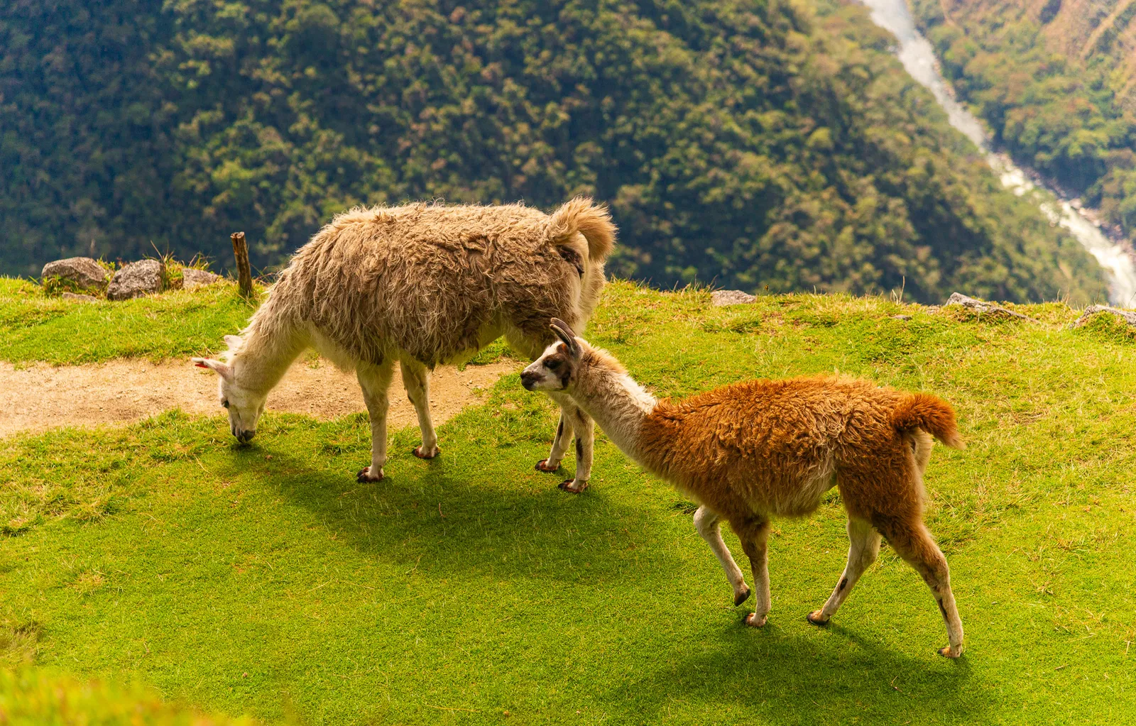
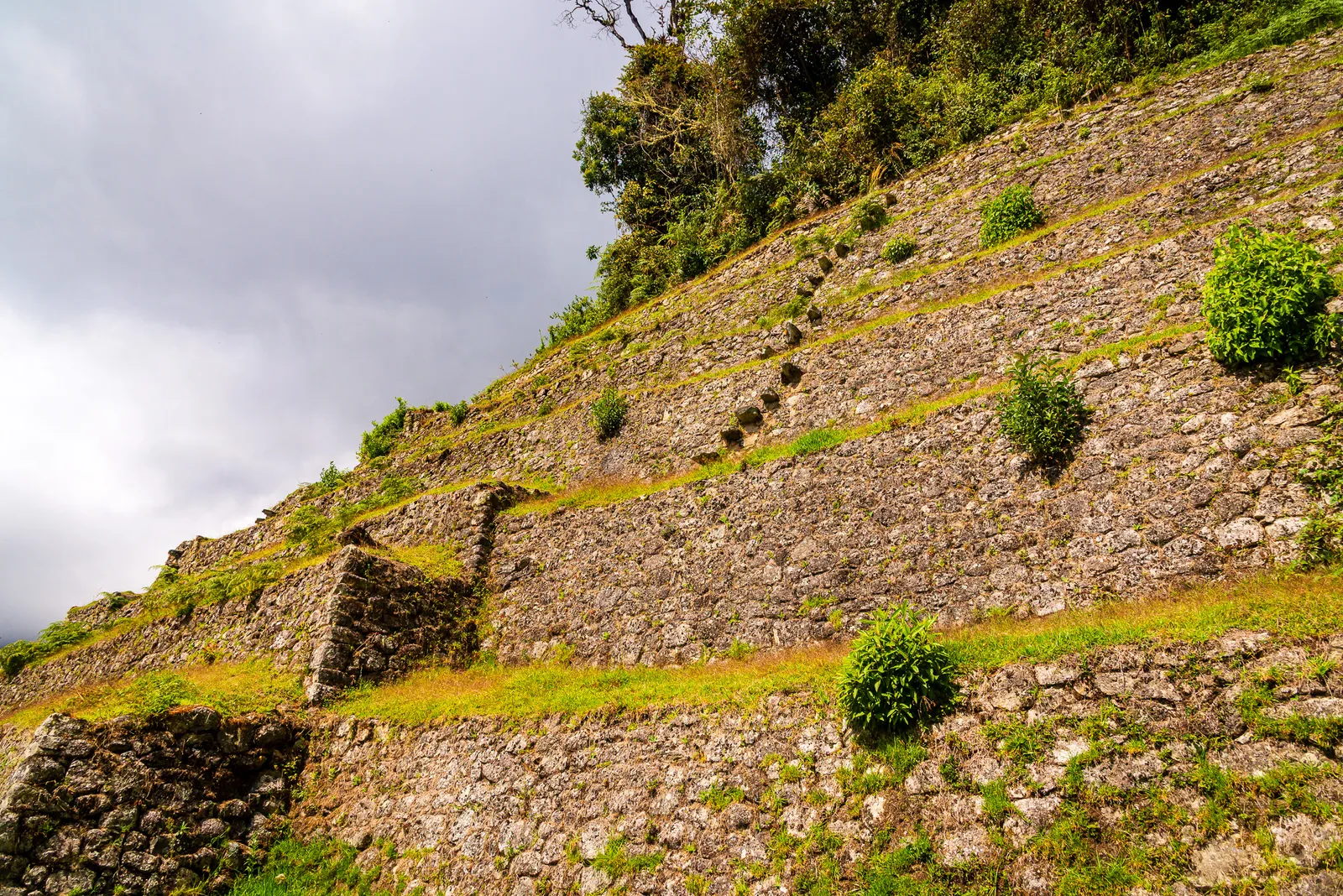
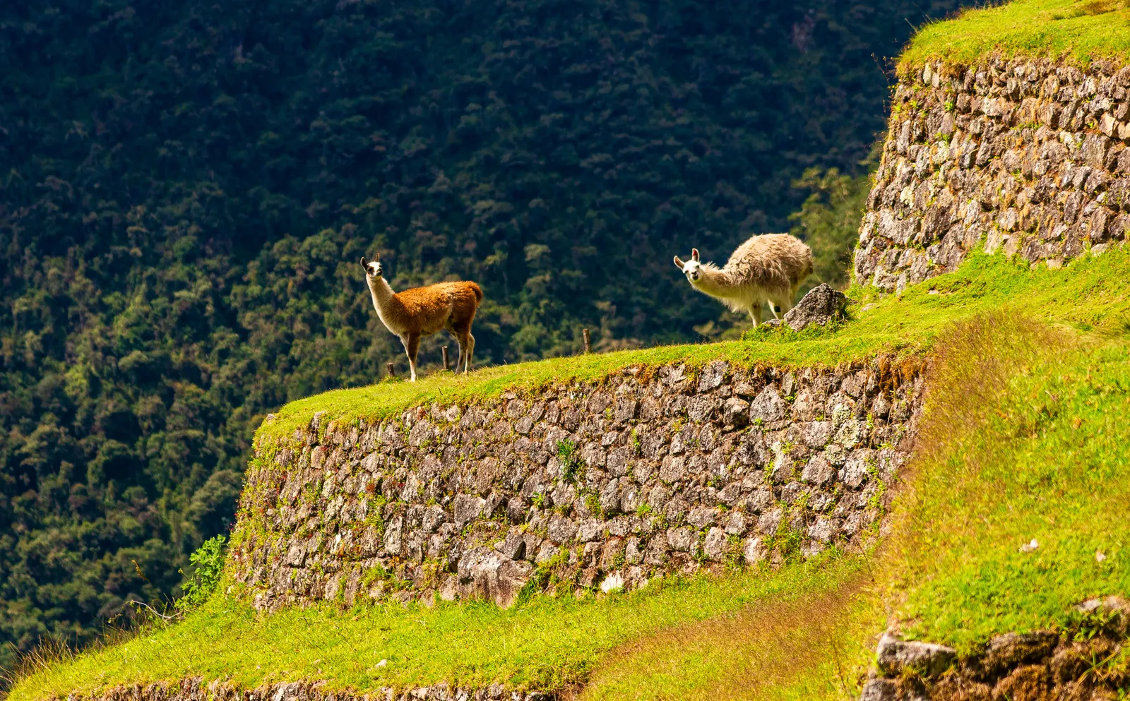
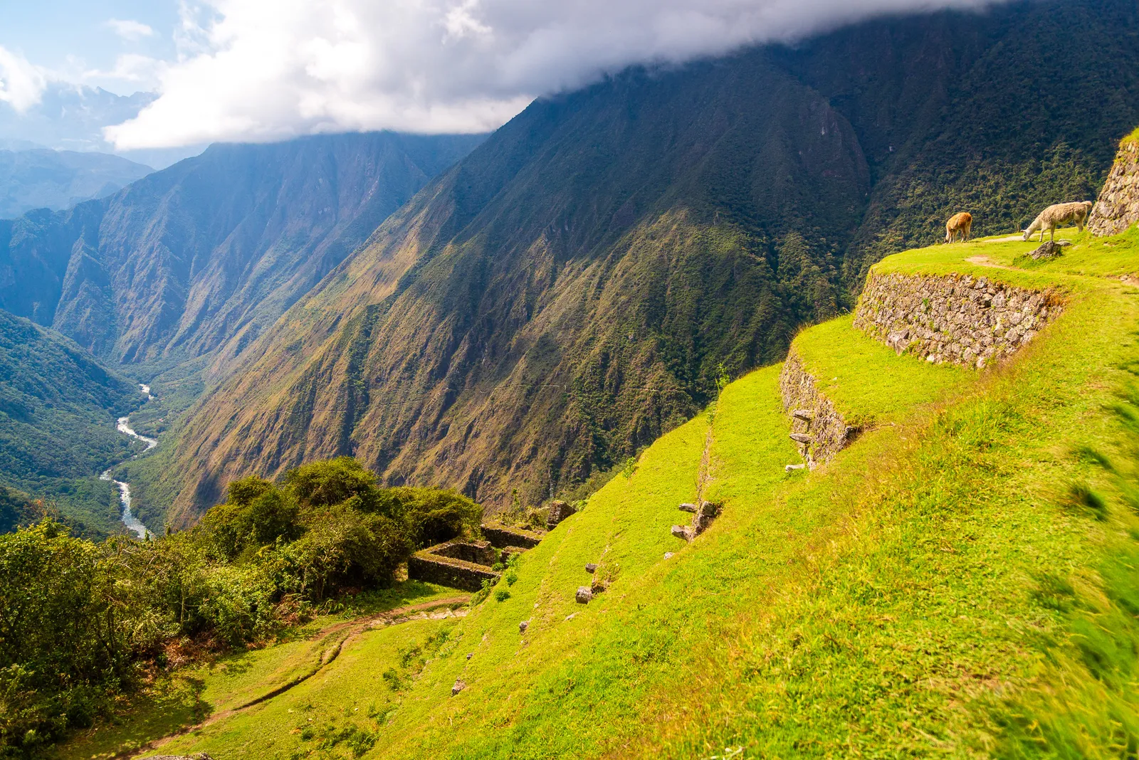
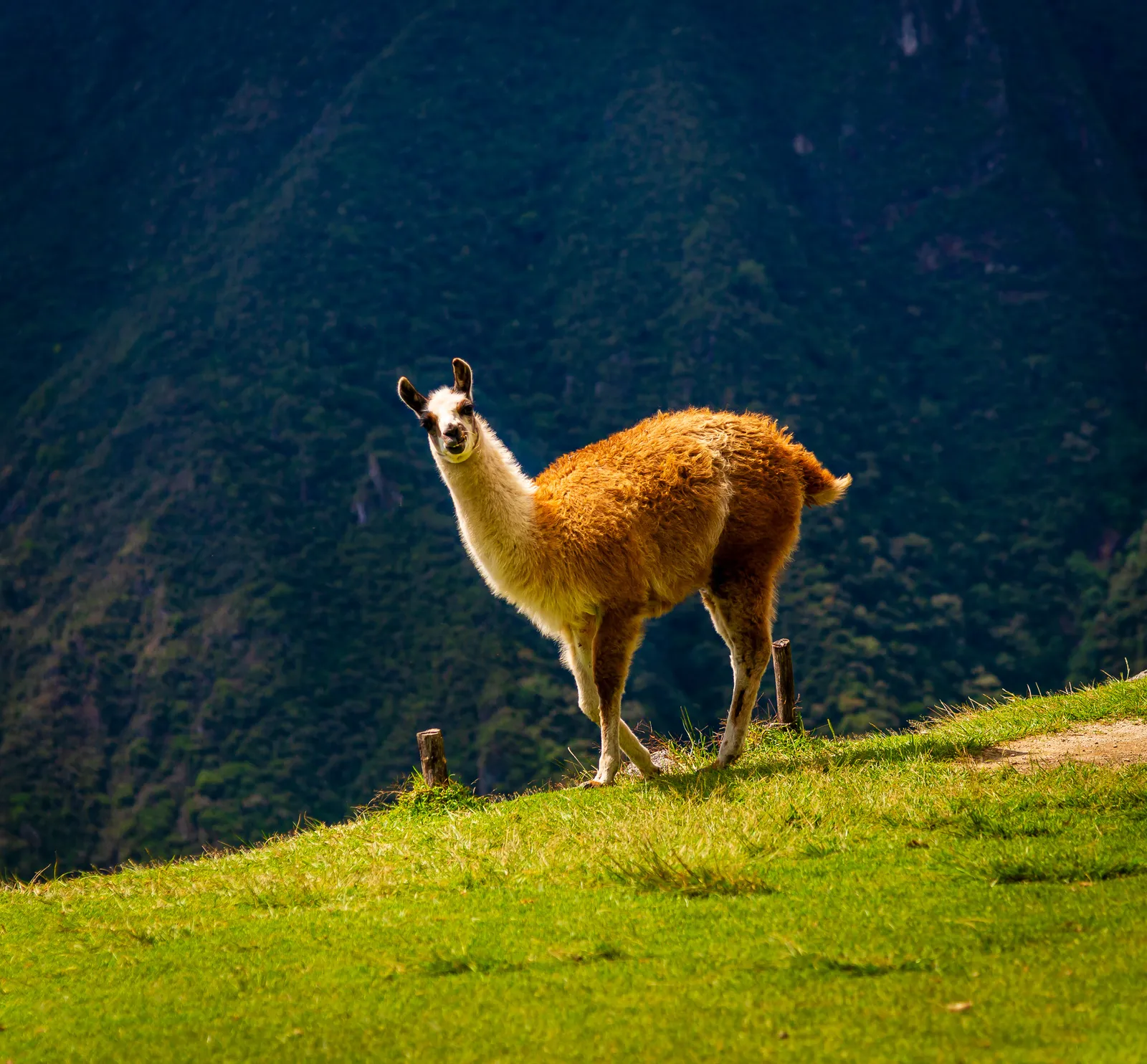
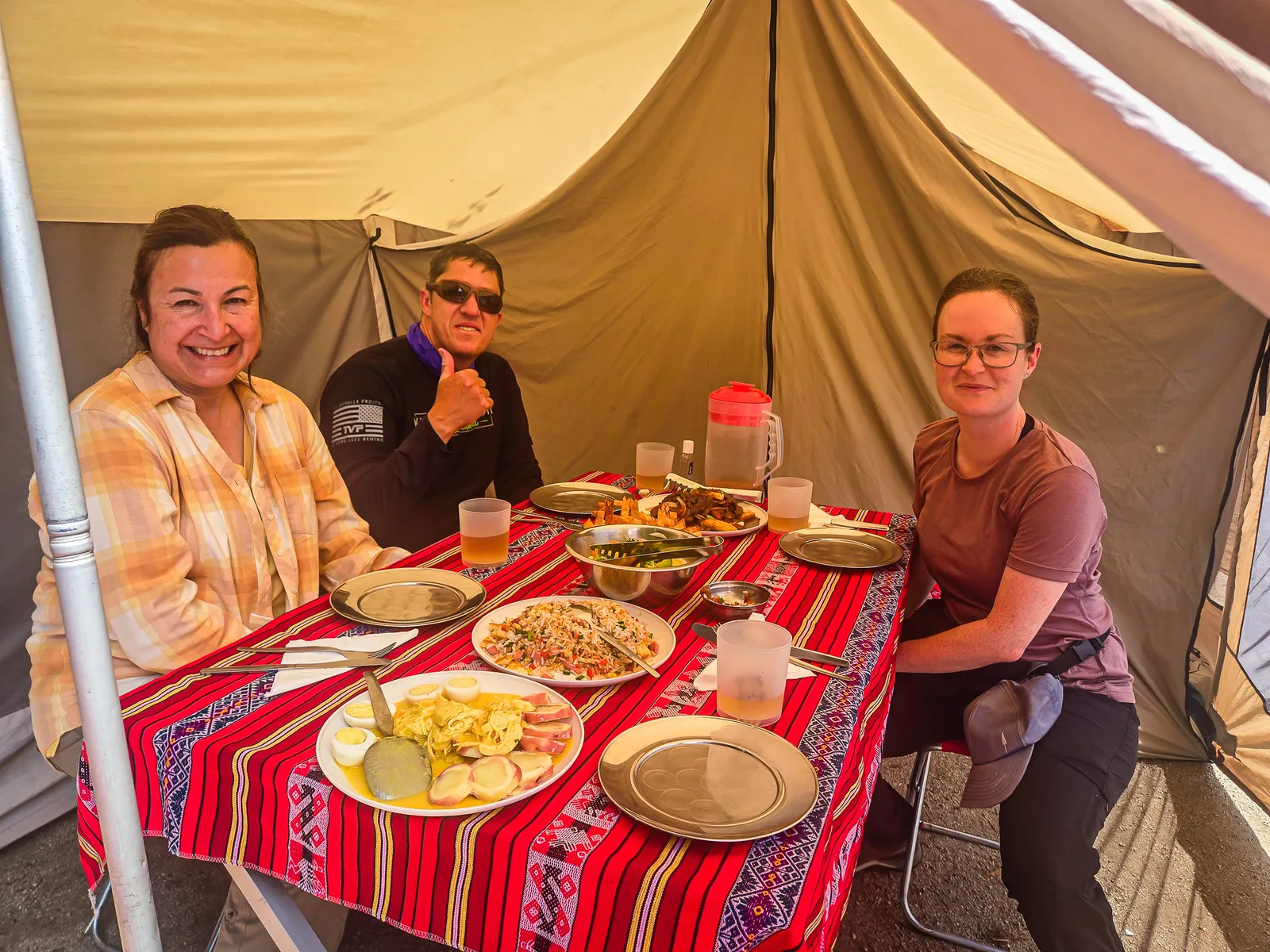
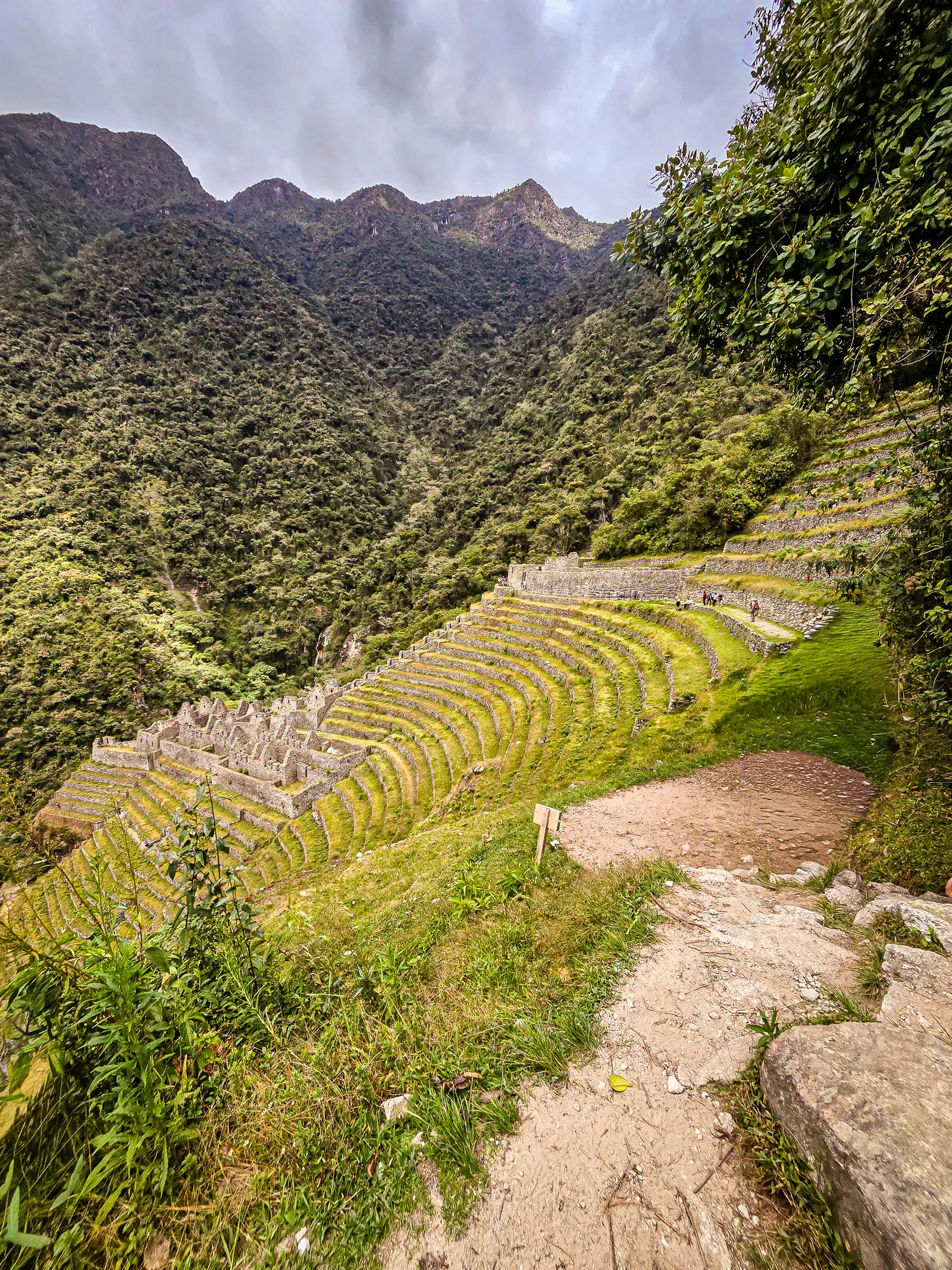
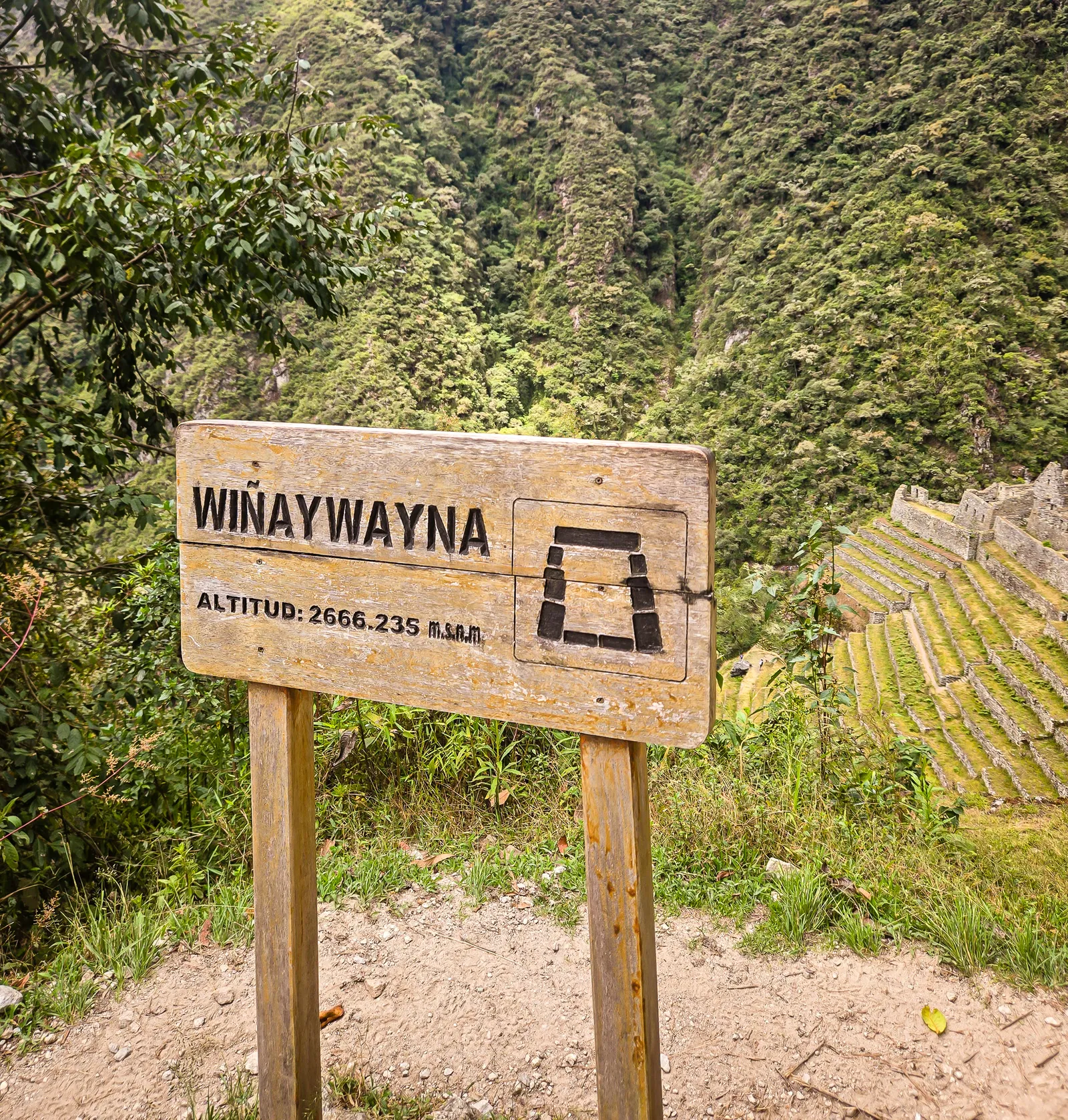
After our time at Inti Pata, we hiked to the Wiñay Wayna campsite for our final lunch on the trail. By 11 AM, we were sitting inside the dining tent, enjoying our last meal and conversation before the grand Machu Picchu entrance. Just a short distance from the campsite sat the Inca site of Wiñay Wayna, often called the “jewel” of the Inca Trail. The name means “Forever Young,” after the orchids that bloom year-round in the surrounding cloud forest.
Built in the 15th century under Emperor Pachacuti, the site features dramatic agricultural terraces, residential complexes, and a steep staircase lined with ceremonial fountains. The ruins were massive and tempting to explore, but we didn’t have time to descend into the complex. A few photos from above, then we pushed on toward Intipunku, the Sun Gate.
As we neared the Sun Gate, the trail narrowed and hugged the mountainside. We walked with purpose, knowing we were close. Finally, we reached the base of the steep stone staircase leading up to Intipunku-Sun Gate. This nearly vertical staircase was uneven with varying heights and depths that required careful footwork.
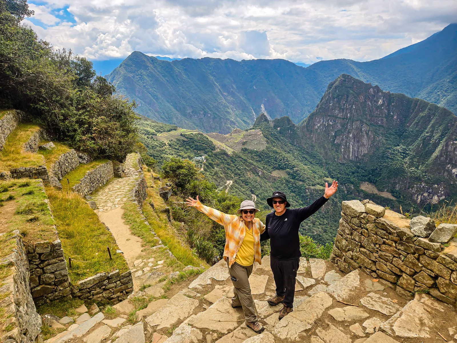
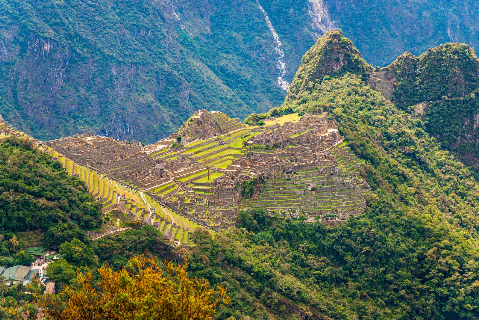
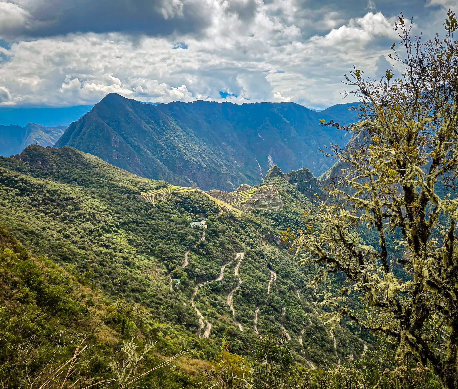
Our guide jokingly called us his monkeys as we climbed on all fours during the final ascent to the Sun Gate. Reaching the top was both thrilling and overwhelming. Machu Picchu appeared in the distance, the afternoon sun catching the edges of its stone structures. This was the moment to take it all in. Now, all that remained was the final 30 minutes into Machu Picchu.
From the Sun Gate, the trail descended into Machu Picchu itself. We felt like rock stars making our entrance, exhausted, sweat soaked, with our packs hanging off our shoulders. Day trippers watched us with a mix of curiosity and concern, clearly wondering who these disheveled hikers were and what we had just been through.
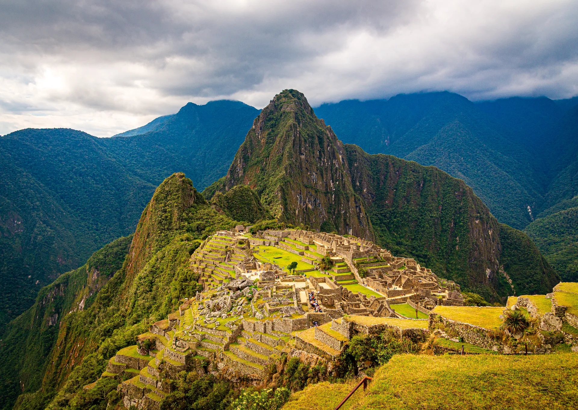
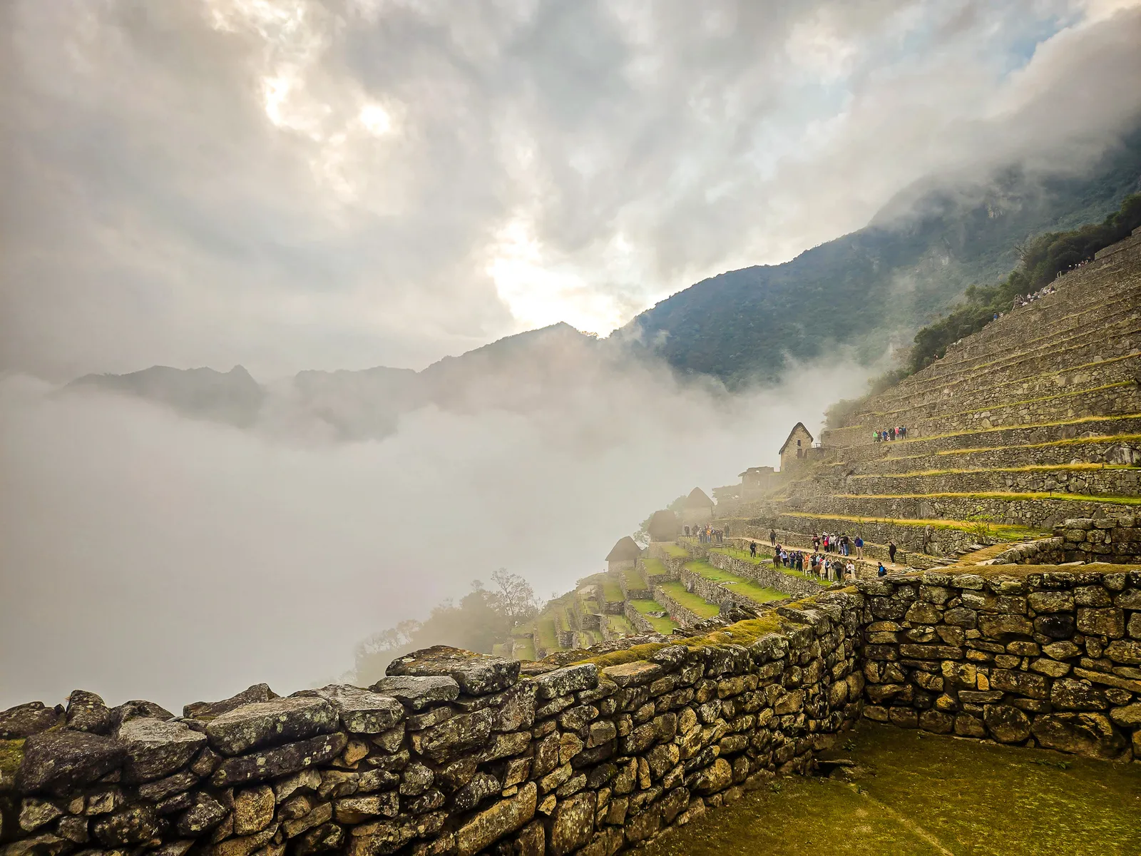
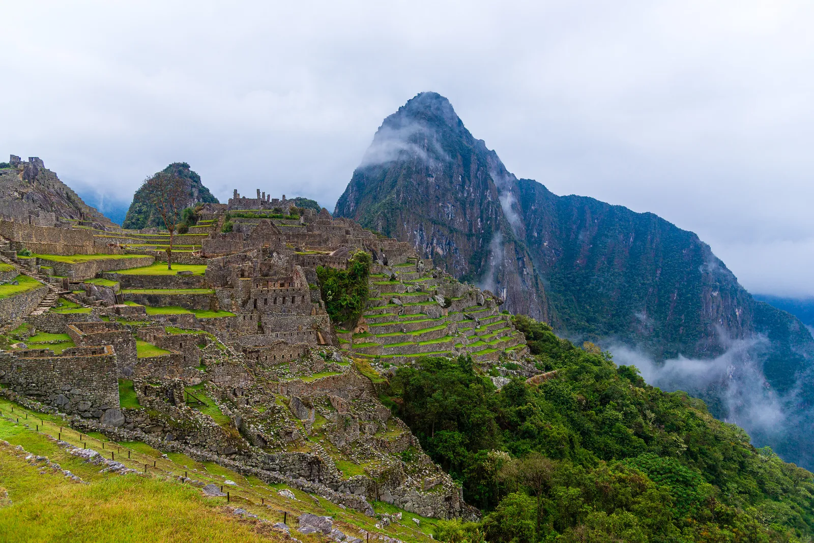
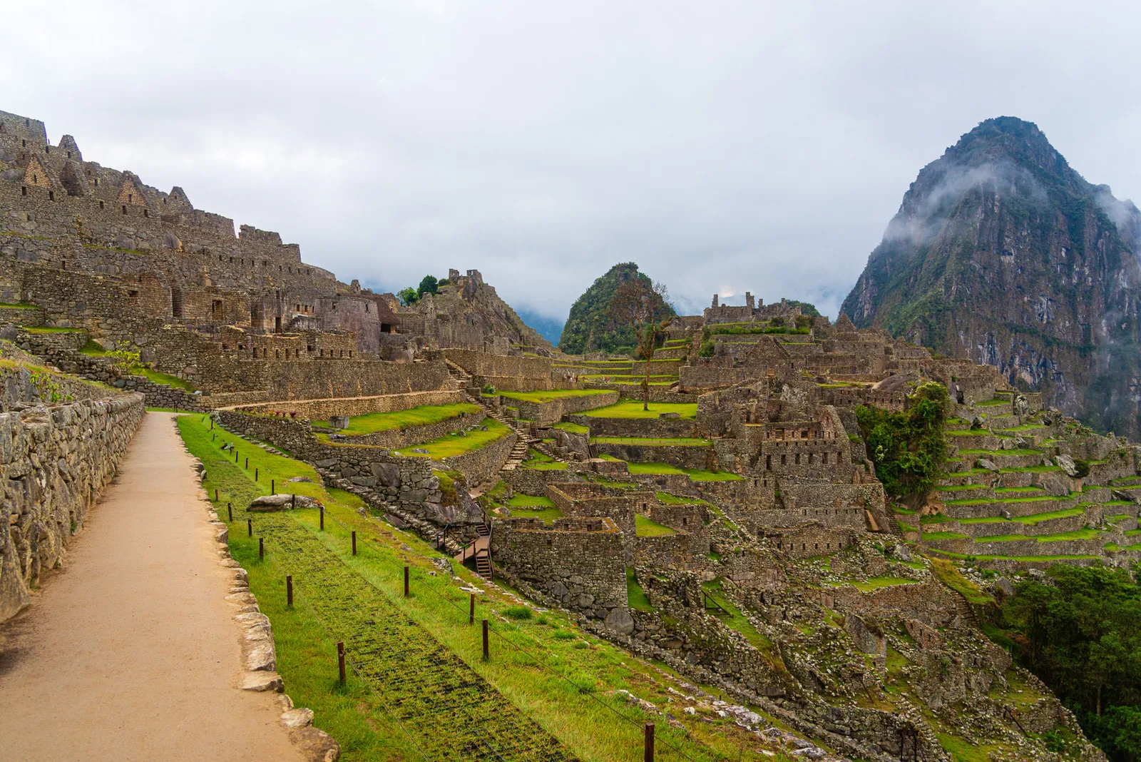
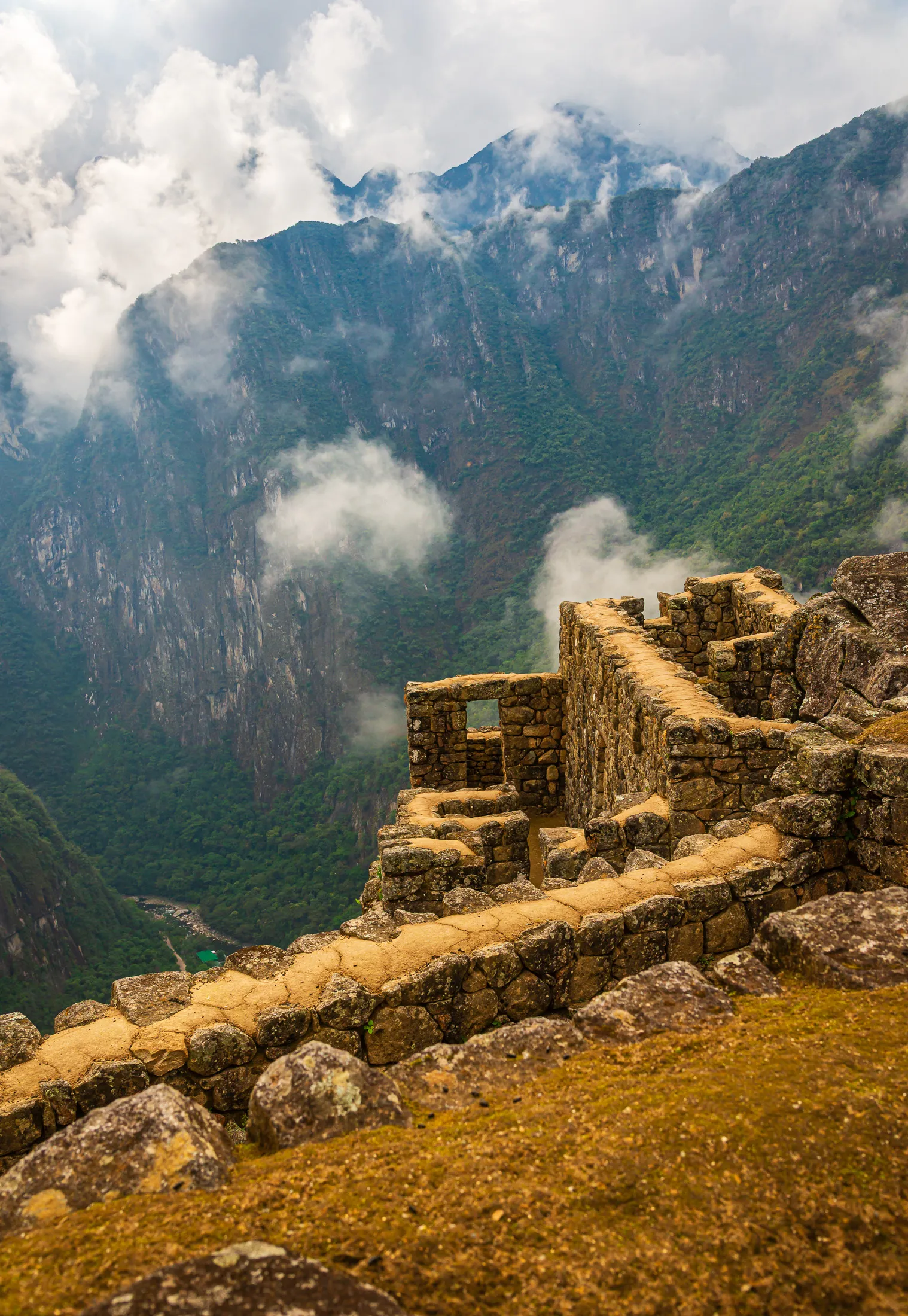
Yiyo led us to the Guardian's House on the upper terraces for the iconic panoramic view, with the ruins spread out below and Huayna Picchu rising in the background. The overlook was packed with visitors, all hoping to capture the same famous photo. What caught my attention was how many people, mostly women, spent several minutes striking different poses and checking every shot. One boyfriend nearby looked completely defeated.
By that point, he had clearly stopped caring. Our tour included a fifth day to return and explore Circuit 3, but for now, we were finished. We boarded the shuttle to Aguas Calientes, looking forward to hot showers, a real bed, and a good dinner in town.
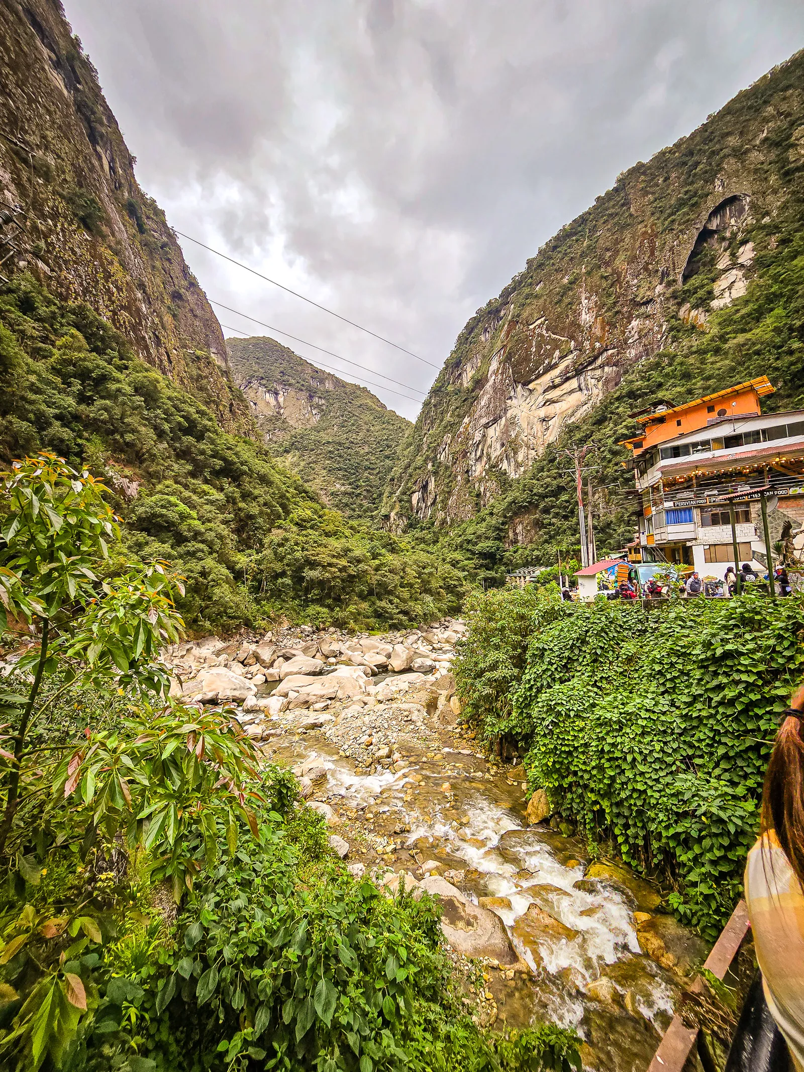
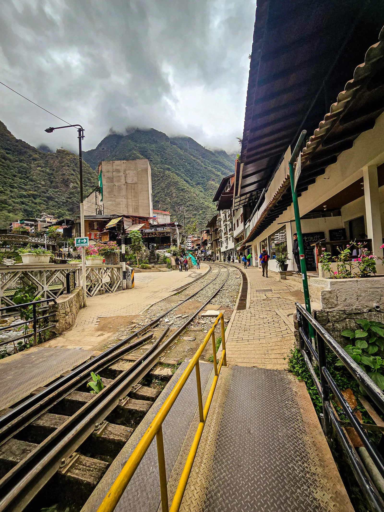
The shuttle ride down was a blur. After 15 minutes of fighting to keep our eyes open, we arrived. Yiyo walked us to our hotel and told us where to meet for dinner. After a well-deserved hot shower and clean clothes, we were ready to explore. Aguas Calientes, officially Machu Picchu Pueblo, began in 1901 as a tiny settlement supporting railway construction between Cusco and Santa Ana. Named for its natural hot springs, it evolved from a rustic outpost into the main gateway for Machu Picchu visitors after the site’s rediscovery in 1911.
The railway’s completion in 1931 cemented the town’s role, and it was formally recognized as Machu Picchu Pueblo in 1941. Since the 1970s, tourism has transformed it into a bustling, car-free hub accessible only by train or on foot. Before dinner, we checked out the artisan market next to the train station. Dozens of stalls sold textiles, ceramics, and souvenirs. Fair warning: the shopkeepers don’t bargain much. Prices are pretty fixed, but you can try your luck.
It was strange seeing everyone cleaned up. Yiyo without his signature buff and sunglasses looked like a different person. Dinner was included in our tour and surprisingly good. Afterward, it was an early night, as we had a 4:30 AM wake-up call to check-out and catch the shuttle back up to Machu Picchu.
Early morning bus ride, to Machu Picchu
Despite the hotel bed and hot shower, sleeping was a struggle. Somehow, we both managed a few hours. After the early wake-up call, we checked out and headed to the shuttle buses. The 15-minute ride to the entrance was scenic, hard to imagine the entire area was once buried under vegetation. Once we arrived, the pace was relaxed. Yiyo guided us through Circuit 3, explaining the different areas and their significance. One story stood out: the helicopter and the monolith.
Few visitors know that helicopters once landed in Machu Picchu's Main Plaza. In 1978, the Peruvian government removed a large ceremonial monolith from the center of the plaza to create a landing zone for the helicopter carrying Spain's King Juan Carlos I and Queen Sofía. In 1989, the stone was removed again for a summit of Andean Pact leaders. During that second removal, the monolith broke apart and was considered beyond repair. It was later buried near the archaeological site.
The controversy became part of a broader effort to better protect Machu Picchu. Today, helicopters are largely prohibited from flying over the sanctuary, preserving both the archaeological site and the natural environment. Exceptions are generally limited to emergencies and other authorized operations.
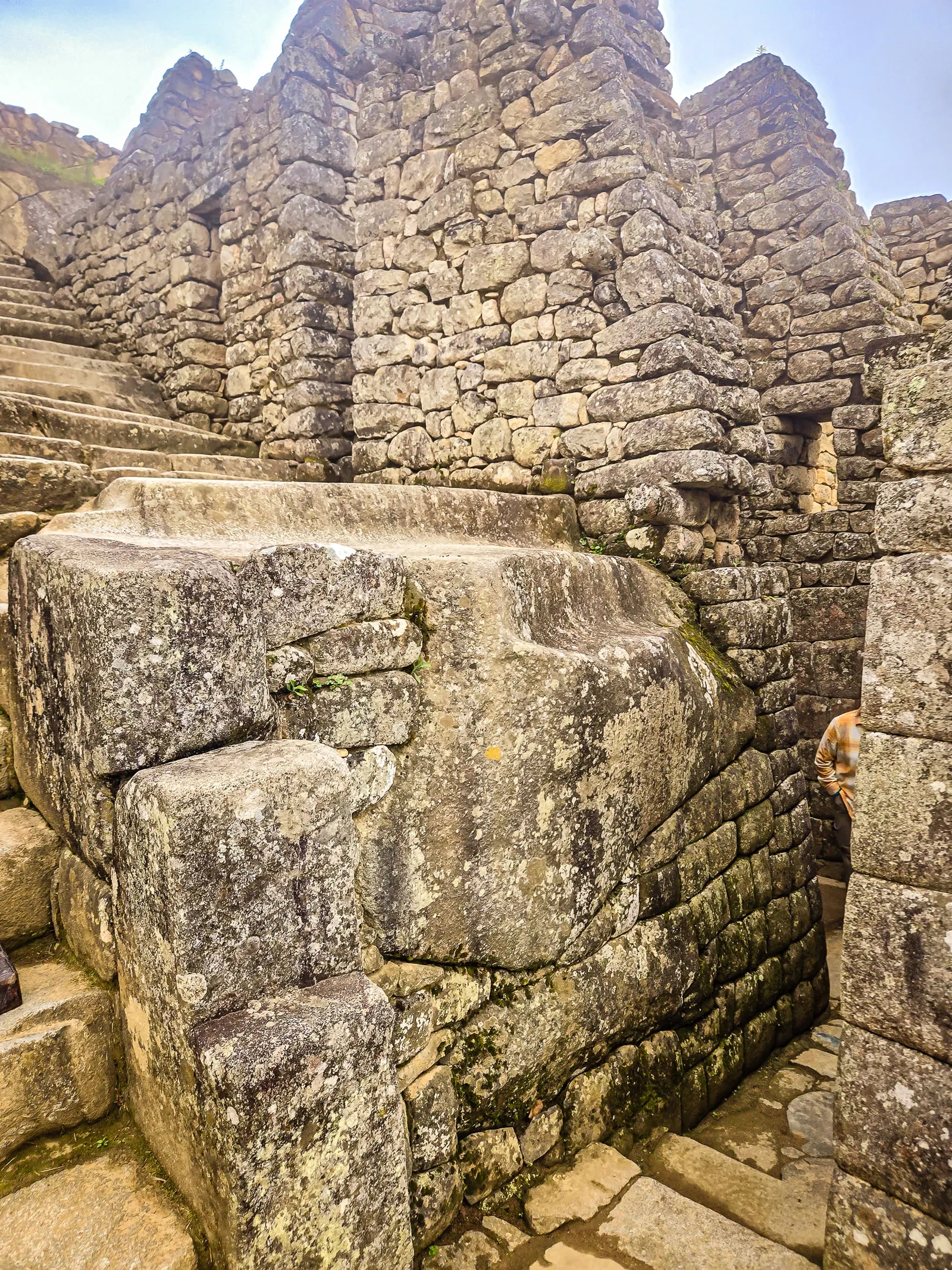
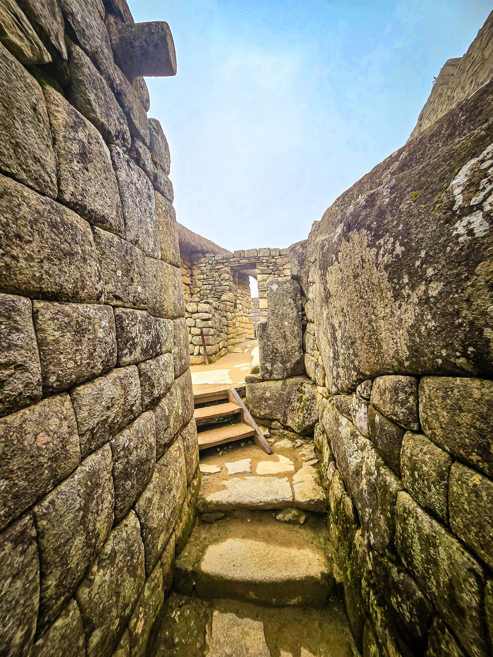
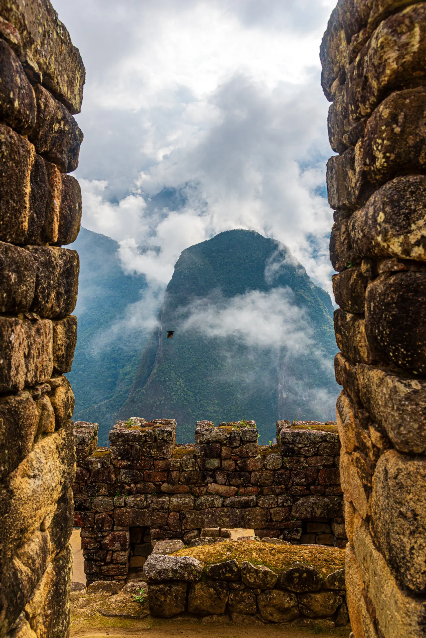
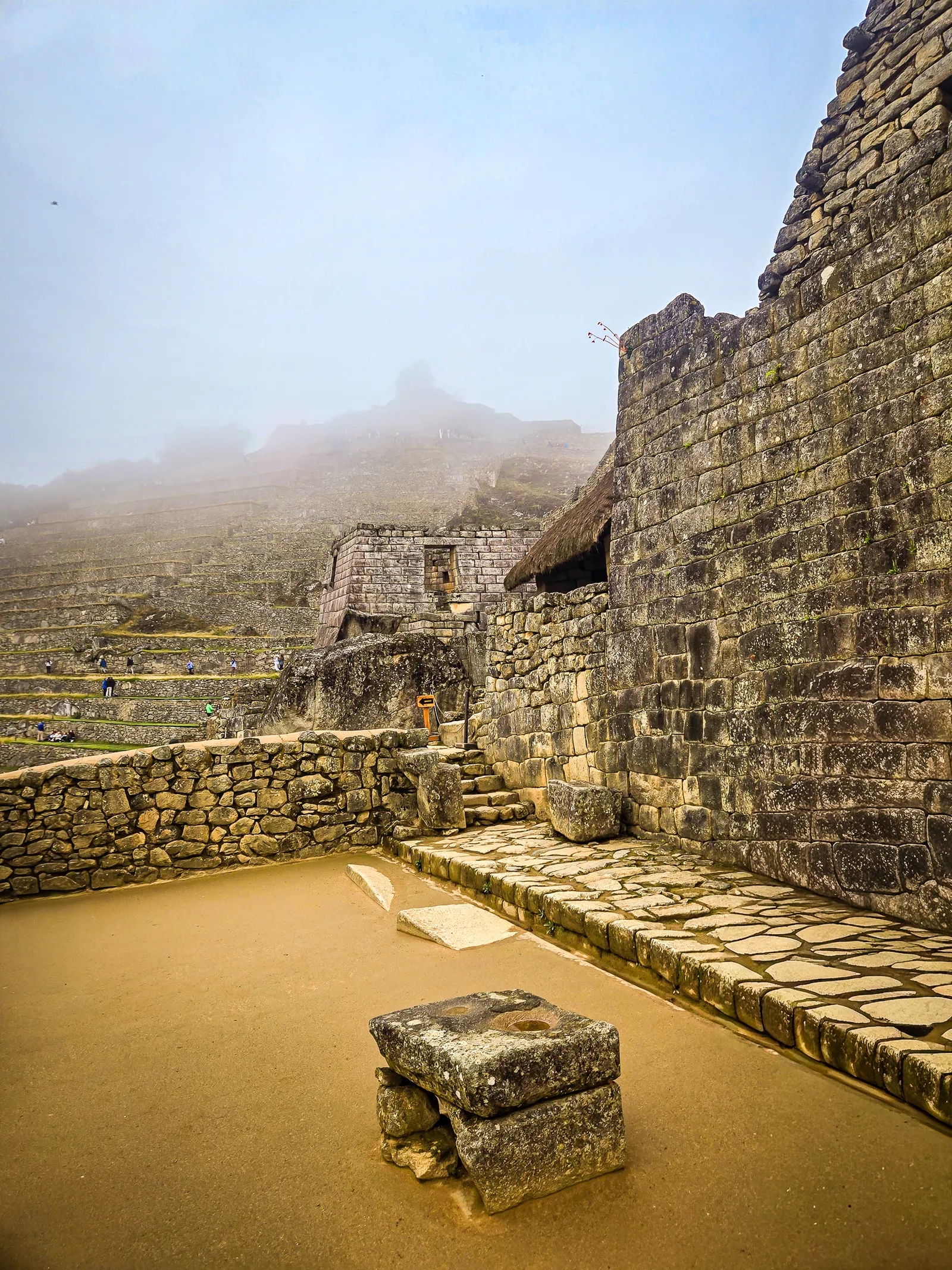
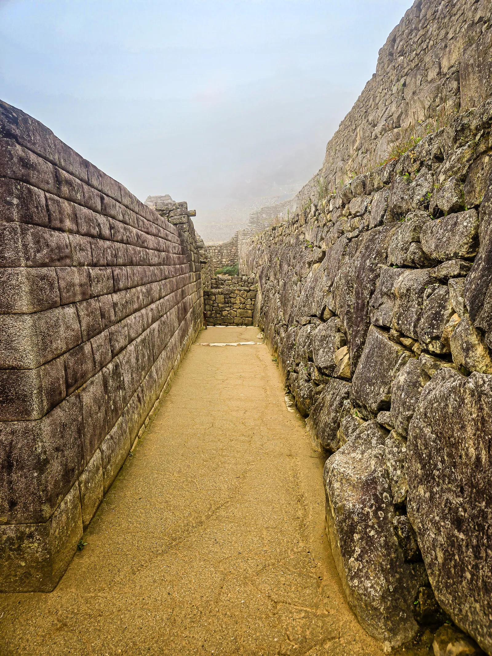
Circuit 3 takes you through the lower archaeological sector, offering a quieter, more intimate look at Machu Picchu’s ceremonial and residential areas. Instead of the classic postcard viewpoint, this route focuses on the temples, terraces, and urban spaces that reveal how the Incas lived and worshipped.
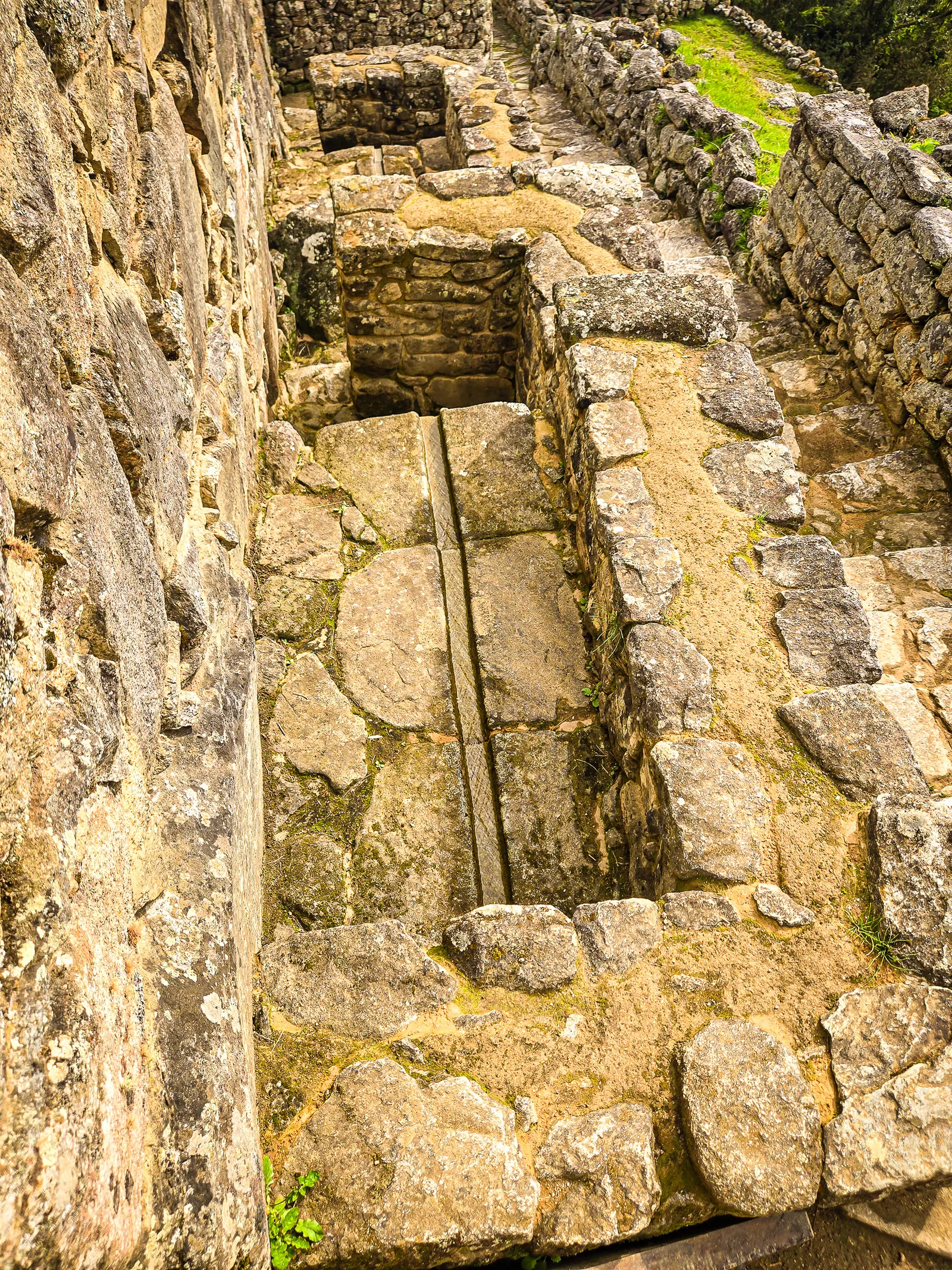
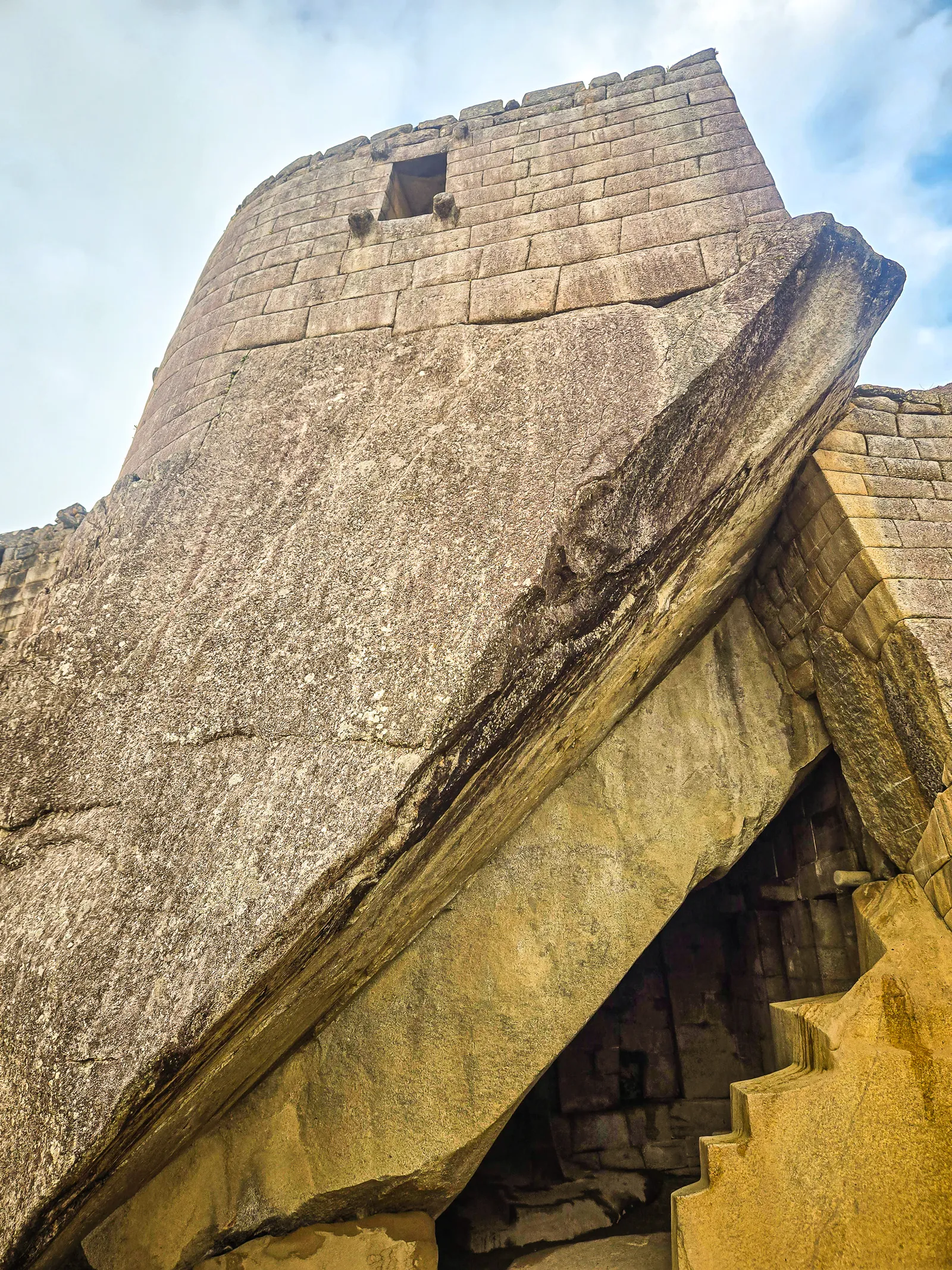
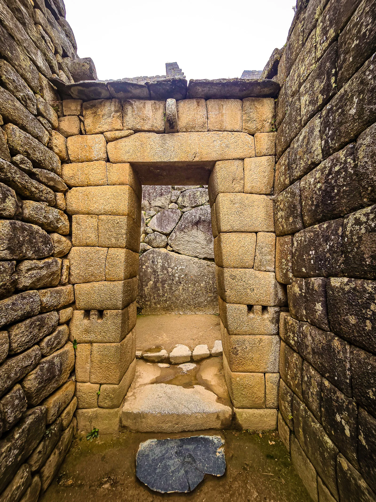
Along the way, we explored the Temple of the Condor, the ceremonial fountains, and the lower noble residences, all showcasing the Incas’ masterful stonework and water engineering. Circuit 3 also provides access to the trailheads for Huayna Picchu, Huchuy Picchu, and the Great Cavern/Temple of the Moon. With fewer crowds and a ground-level perspective, this circuit let us slow down and experience Machu Picchu the way the Incas themselves might have moved through it.
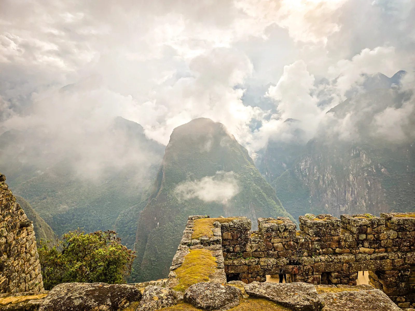
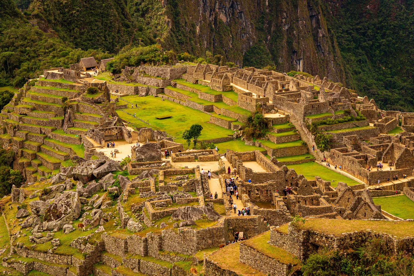
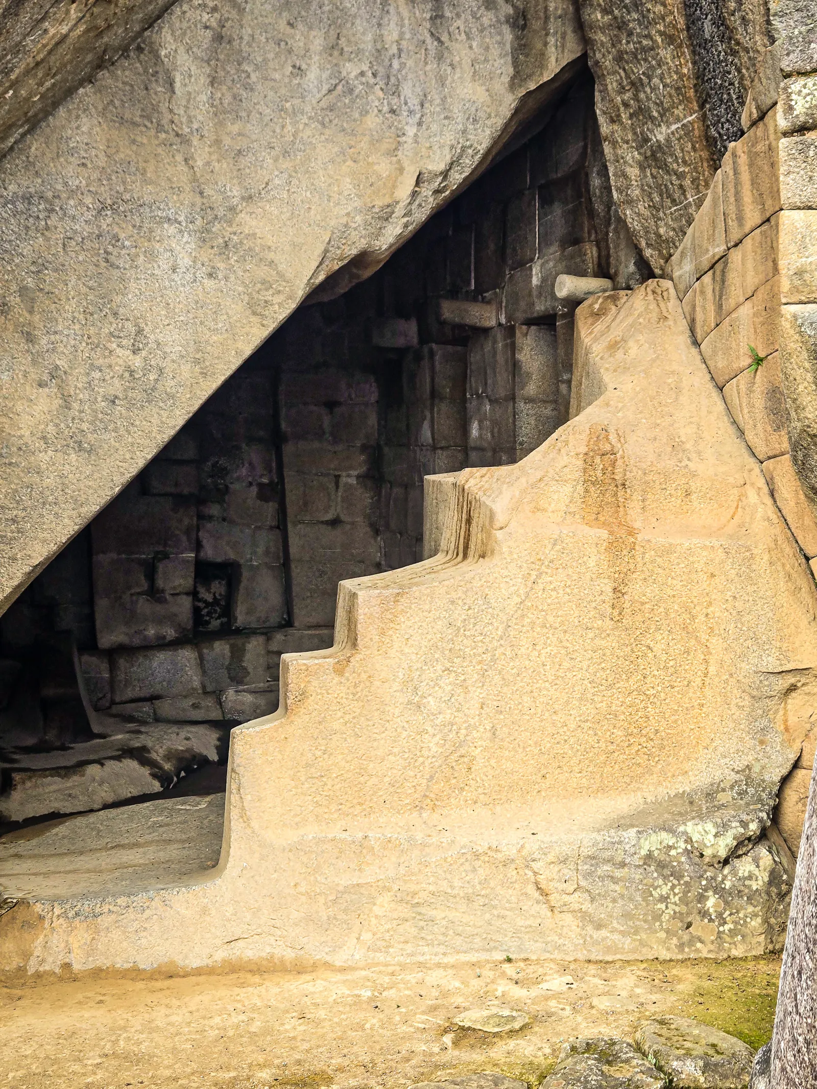
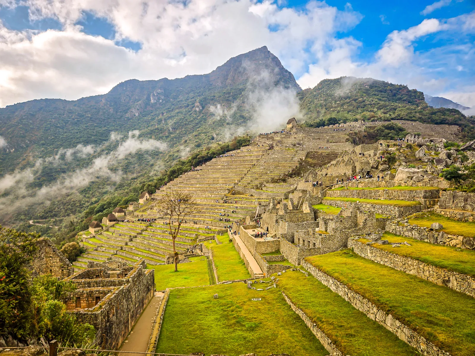
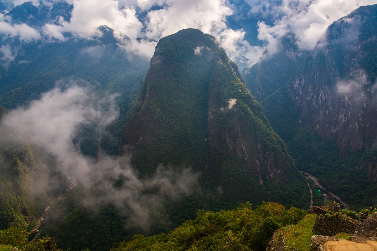
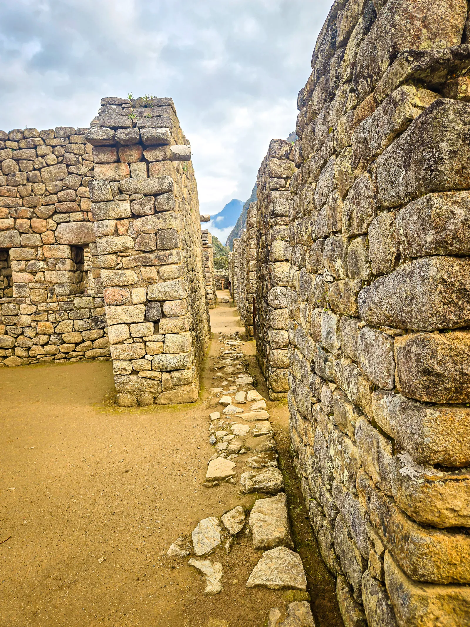
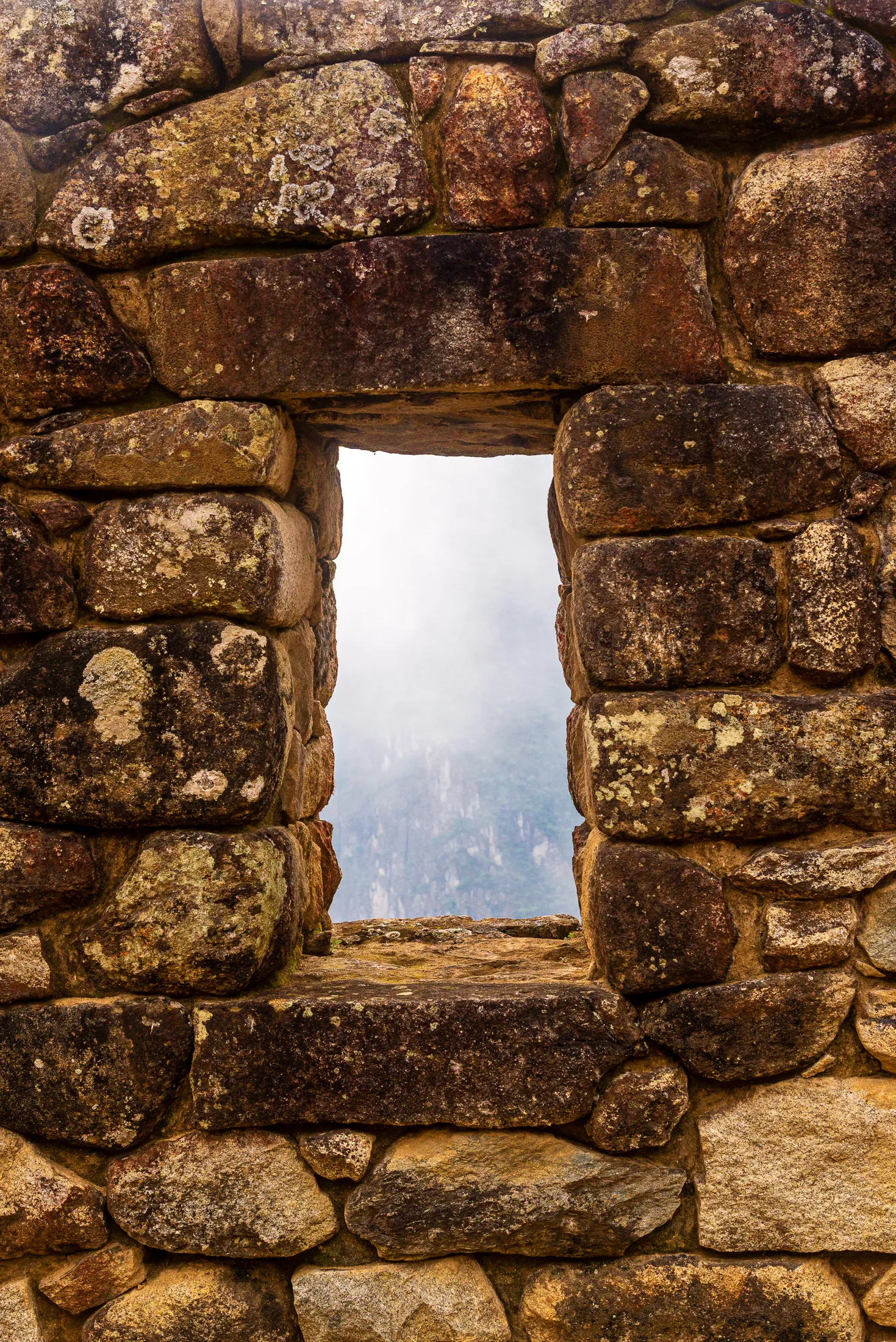
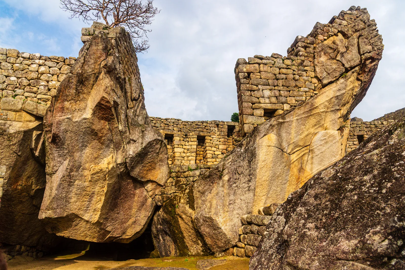
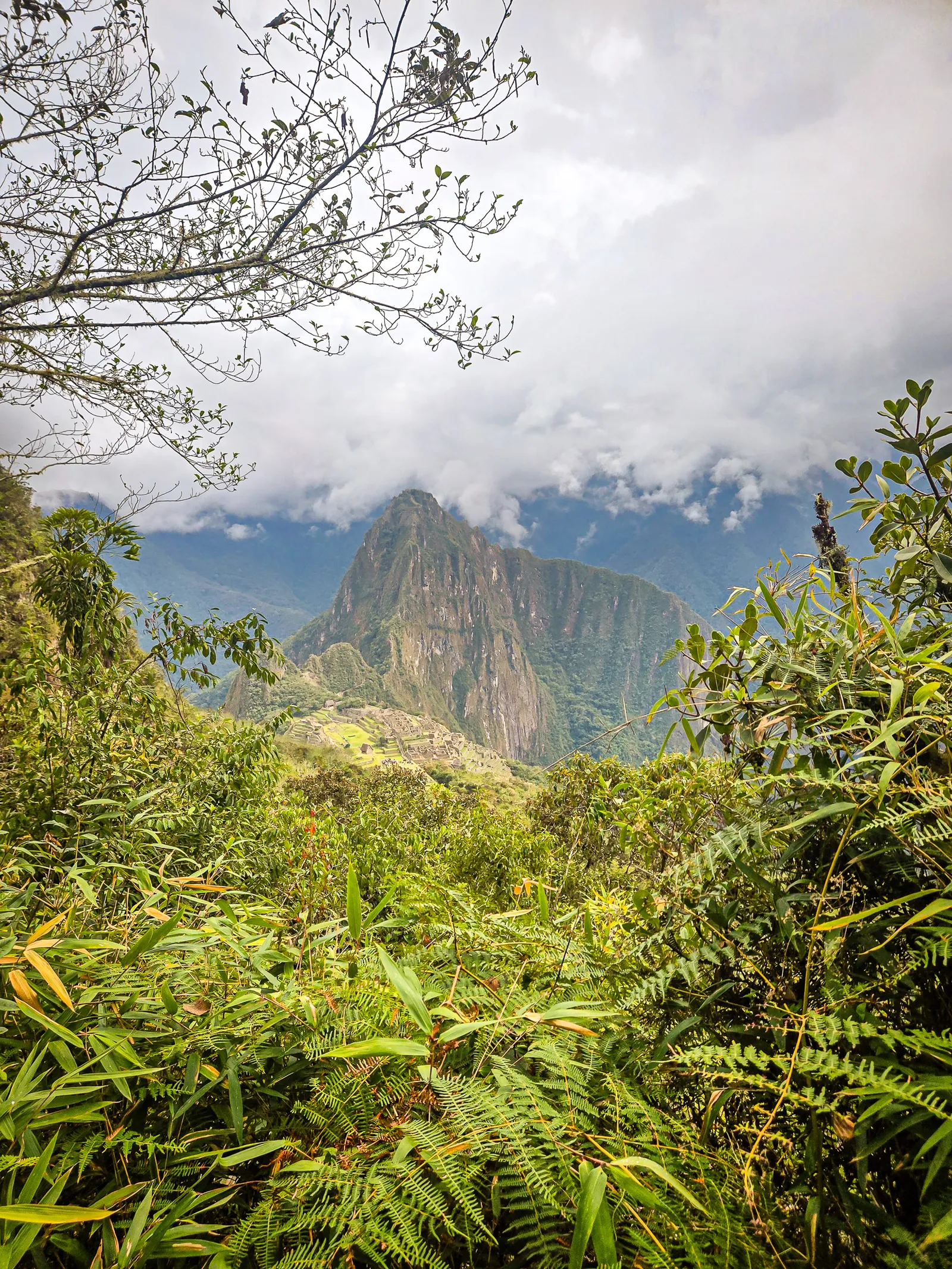
Our final trek was the Machu Picchu Mountain hike. Regrettably, I booked it from the comfort of my couch, fully convinced that by the end of the Inca Trail we’d be seasoned mountaineers. Not even close. We made it about halfway up before realizing we were absolutely cooked. So, we turned around, headed back down, and then joined the queue for the bus back to Aguas Calientes.
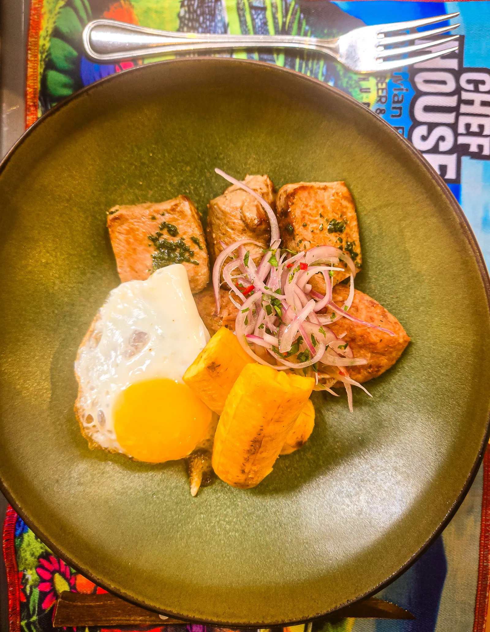
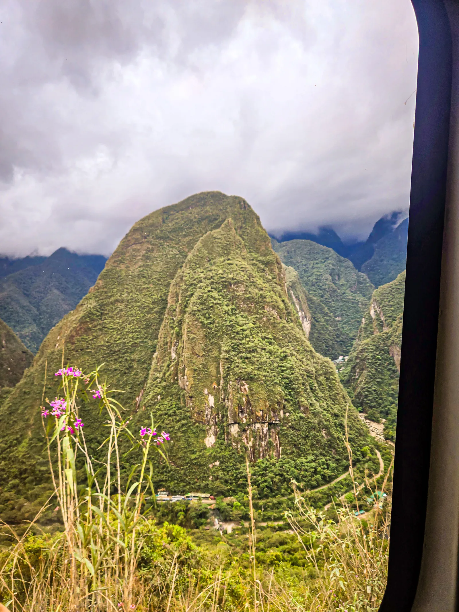
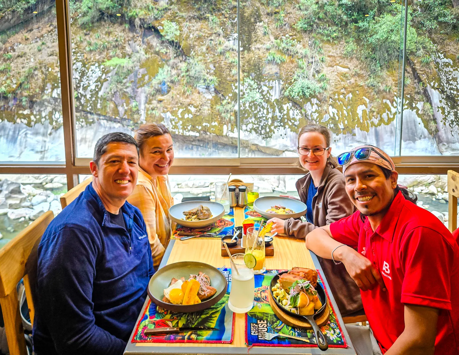
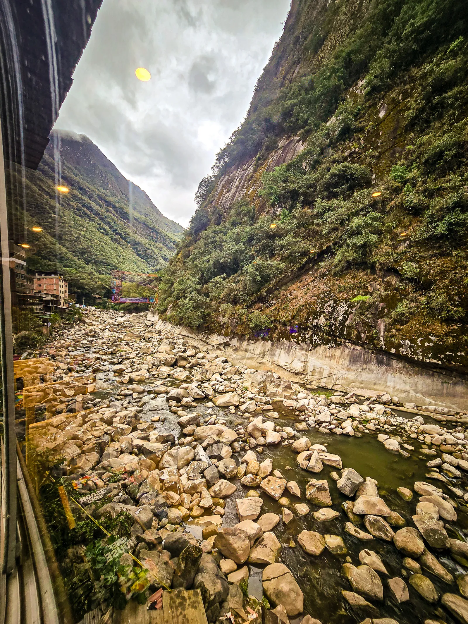
For our final meal together, we sat down to a special lunch at Chef’s House, a perfect spot overlooking the river and its whitewashed rocks. It was a chance to unwind, share stories from the trail, and enjoy one last moment with the group. After lunch, it was time to begin the journey back to Ollantaytambo and then on to Cusco for our final few days.
Reflections of our journey
The Inca Trail is part physical and part spiritual. Everyone starts in the same place, but each person finishes with a different perspective, shaped by the mountains, the history, and the sheer effort it takes to get there. The trek eventually narrowed down to essentials: breath, water, and the next few steps. By the time we reached the Sun Gate, the exhaustion no longer mattered.
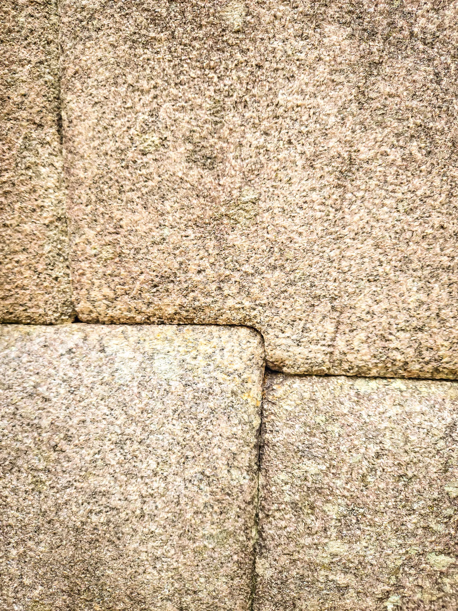
What mattered was completing it and the connections we’d made, to the landscape, to the people who built this trail, and to the small group who walked it with us. The trail forces you to notice details you’d normally miss: the precision of the stonework underfoot, terraces carved into impossible slopes, clouds drifting through the valleys. It’s a venture well worth your time.
- Acclimatize in Cusco for at least 5 days before starting
- Upgrade to a thicker sleeping mat or invest in a Therm-a-Rest; ground surfaces can be unforgiving
- Consider a travel pillow, we used our duffel bags, not comfortable
- Pack lighter than you think, every ounce matters on the climbs
- Bring a strong headlamp for nighttime camp navigation
- Avoid overeating on the trail – food will be plentiful, and easy to consume more calories than you need
- Day 2 (Dead Woman's Pass) is the highest, but Day 3 has the most elevation change
- Downhill sections require as much focus as the climbs
- You're most likely to lose your footing on the descent
- Trekking poles are essential (bring your own or rent from your tour company)
- September offers dry weather and fewer crowds than peak season, still lots of people
- Train strikes can happen, stay informed
- Invest in a good day pack
- Break in your boots, months before your trek
- Inti Pata offers the most dramatic views with the fewest crowds
- Circuit 3 at Machu Picchu provides intimate access without the masses, if done early enough
- Hearing the train whistle from Inti Pata was the most reassuring sound of the trek